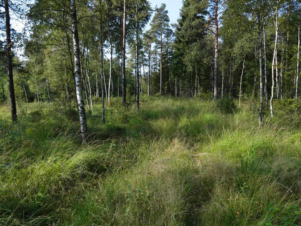
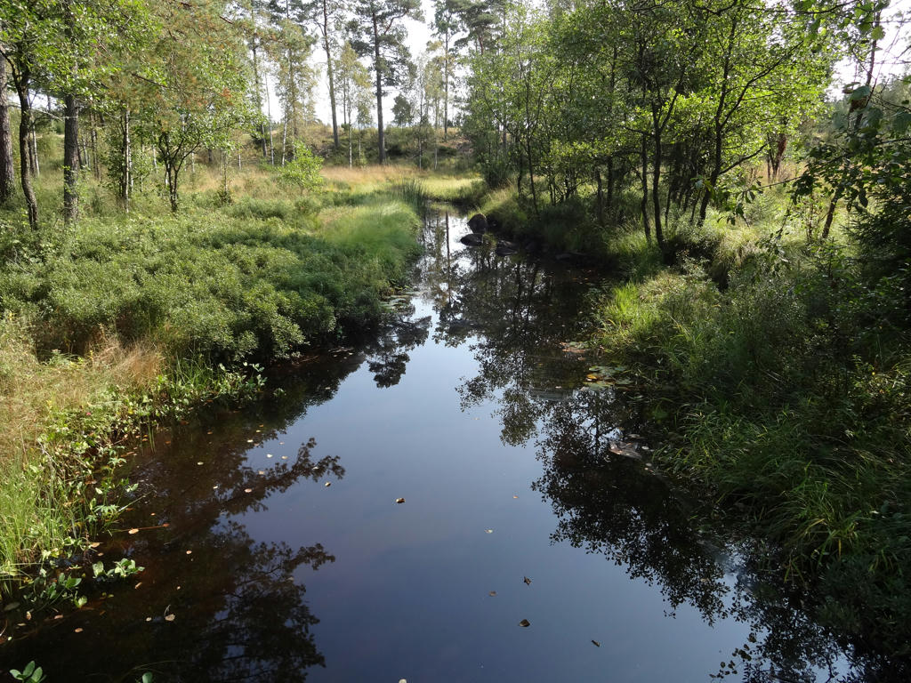
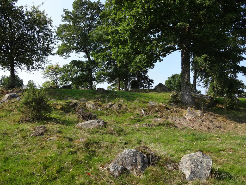
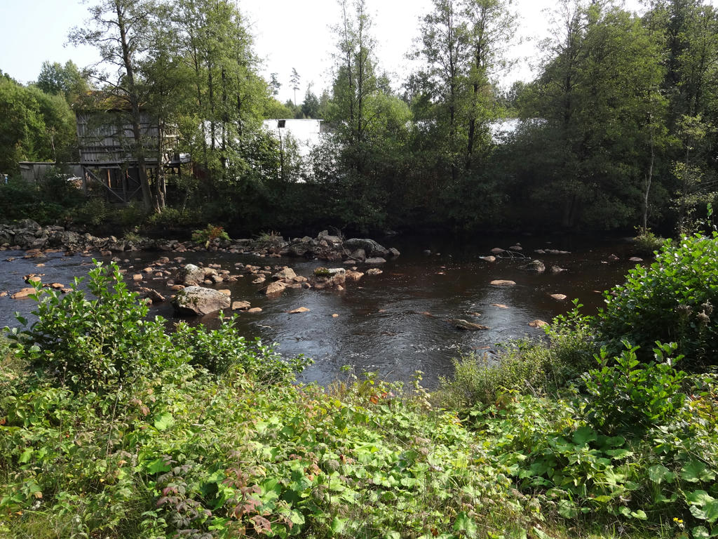
Although there was a bit of unplanned mess, this is my favorite Gislavedsleden walk and maybe even one of my overall favorites. It was the first walk in 2016 in which I really felt it was autumn. Although it was autumn, the weather was pretty good. The morning was a bit cool but it was pretty warm during the middle of the day when I was walking the last few kilometers. The character of the walk shifts a bit but two general characteristics is that it goes through idyllically located villages and it feels really "Småland" and that there are mostly coniferous forests full of common heather, blueberry and cowberry bushes.
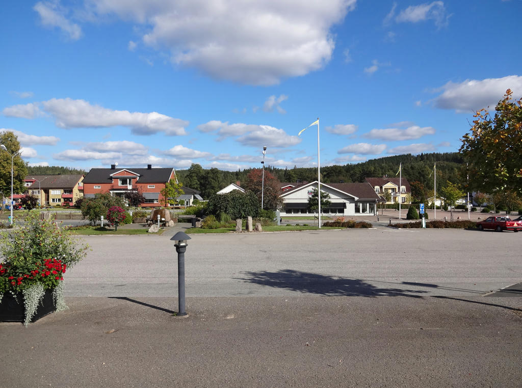
1.
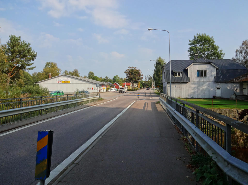
Hemgårdsgatan in Gislaved. Used the hue restorer plug-in to get rid of a small part of the sky color that was cyan-ish. Also rotated the photo slightly and cropped it.
2.
Used hue restorer plug-in to get rid of the cyan-ish sky color. Also brightened the non-sky parts slightly using the curves tool.
3.
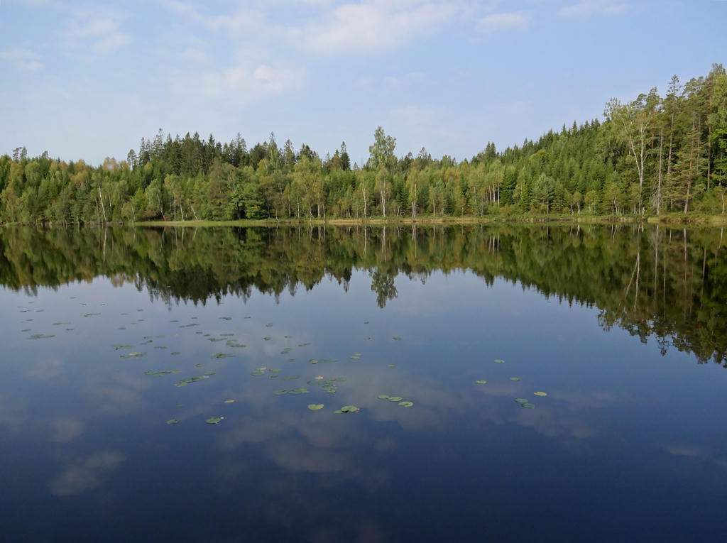
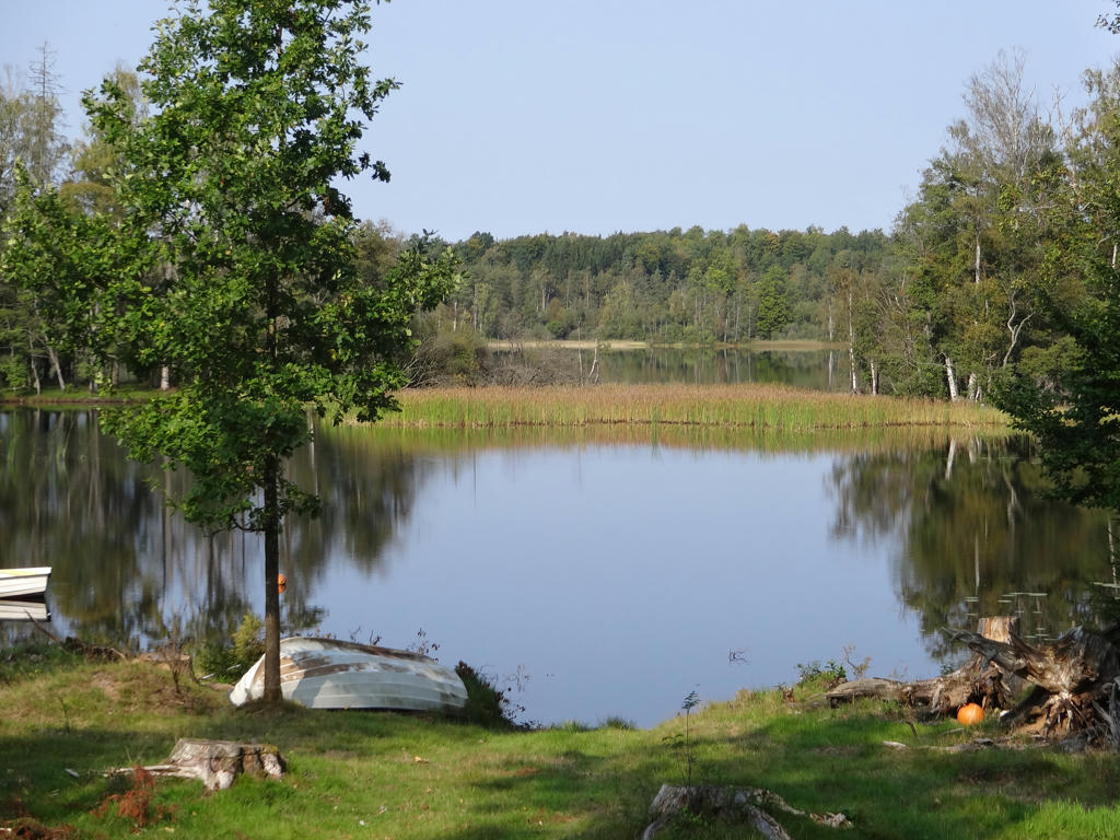
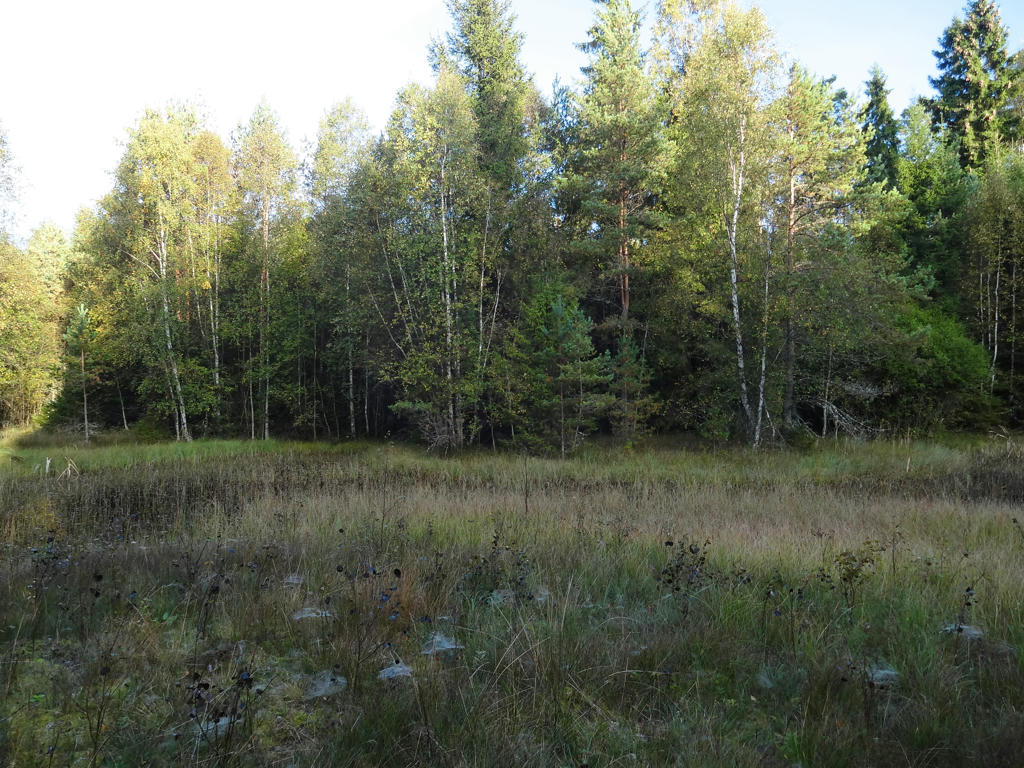
4.
Moasjön. Rotated the photo slightly and cropped it. Also increased the contrast slightly.
5.
In St. Båraryd. Used hue restorer plug-in to get rid of the cyan-ish sky color.
6.
Sharpened the photo slightly using unsharp mask.
7.
Nässjön. Used hue restorer plug-in to get rid of the cyan-ish sky color.
8.
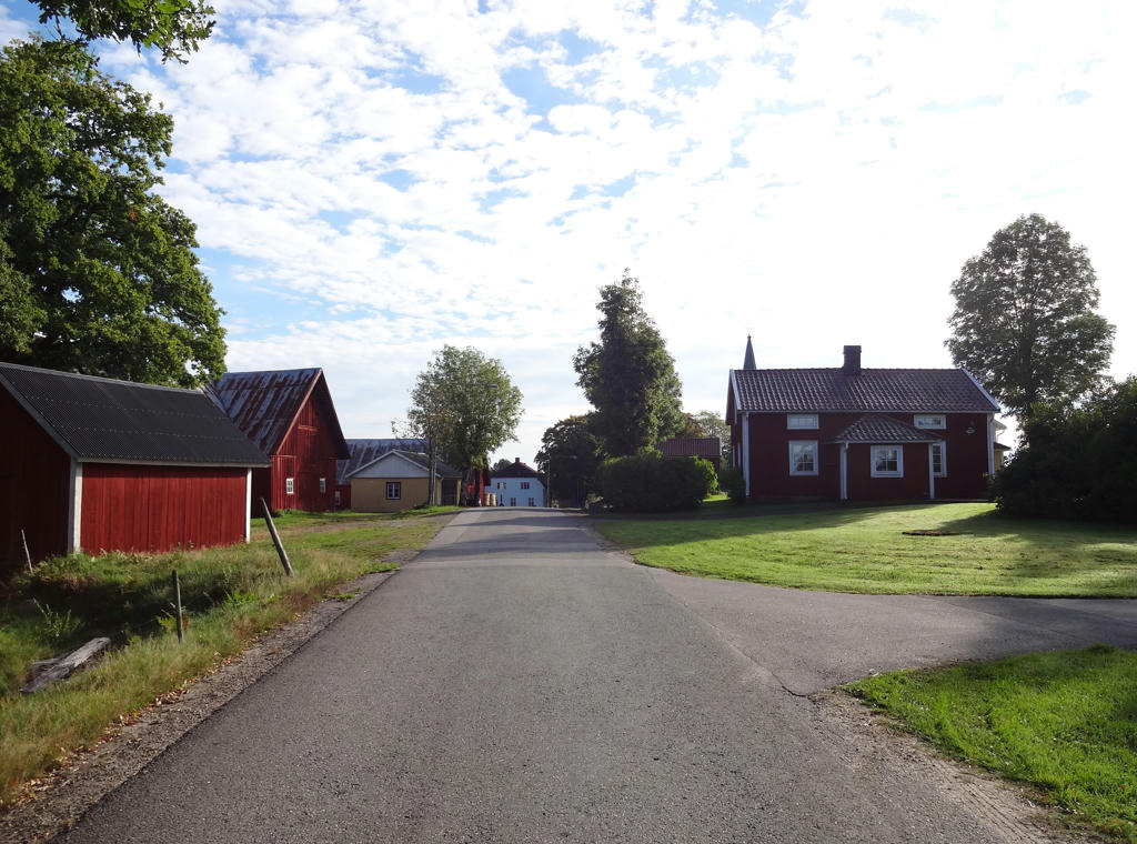
Båraryd. Rotated and cropped the photo.
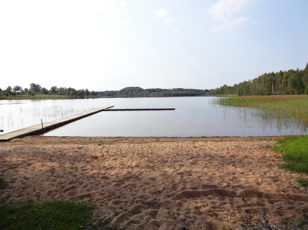
9.
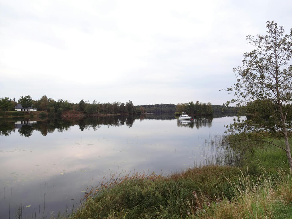
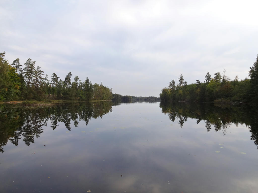
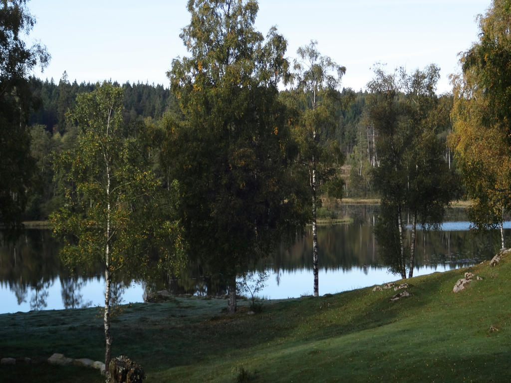
Kyrkesjön. Rotated and cropped the photo. Also increased the contrast slightly.
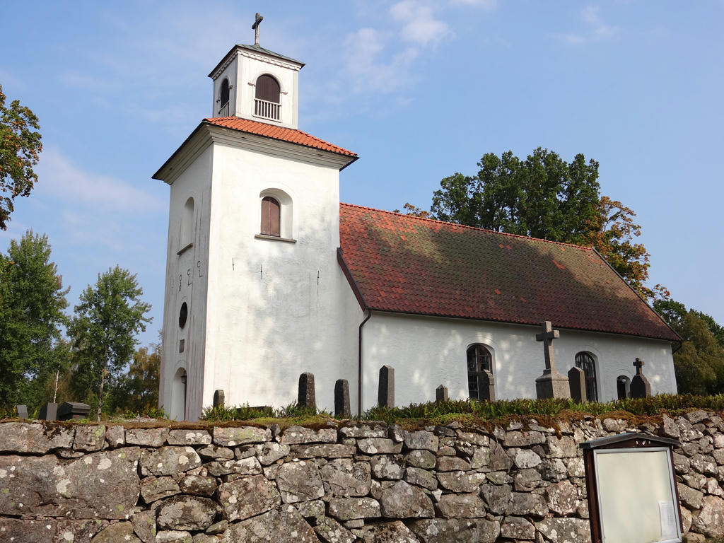
10.
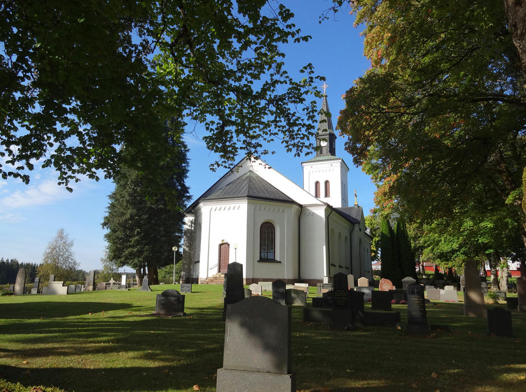
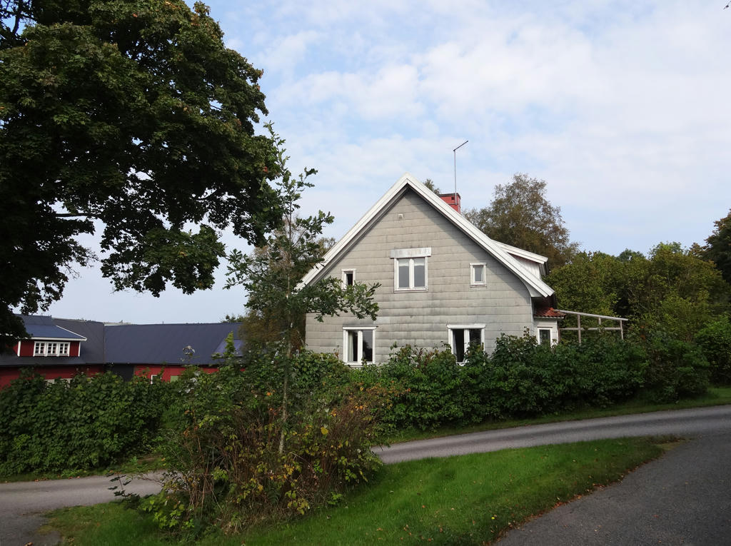
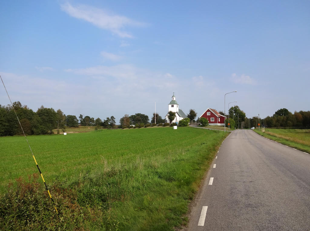
Båraryds church. Rotated the photo slightly and cropped it.
11.
Used hue restorer plug-in to get rid of the cyan-ish sky color.
12.
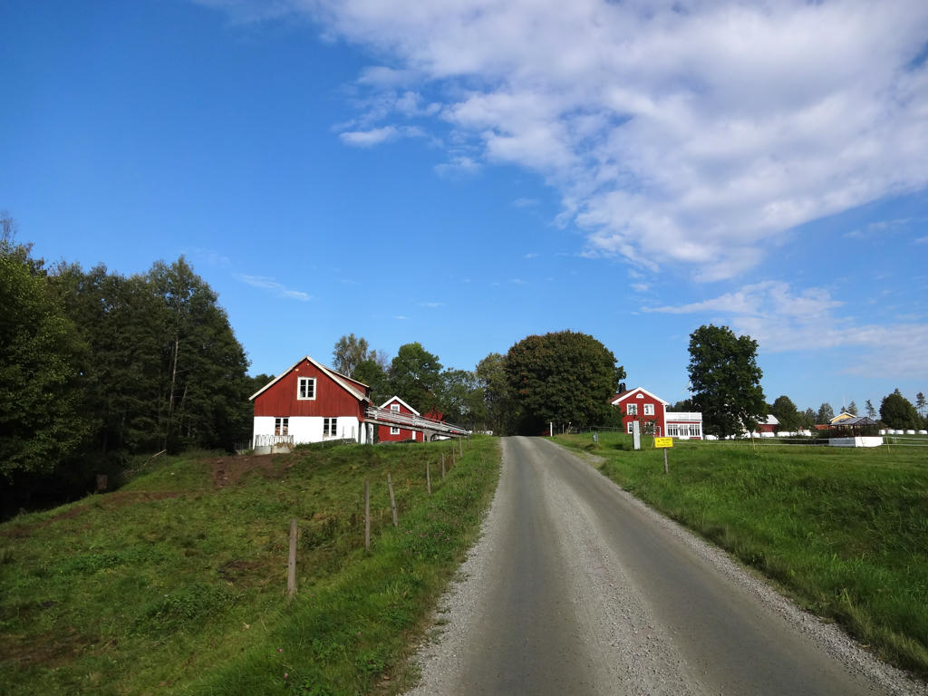
Sebjörnarp. Rotated and cropped the photo.
13.
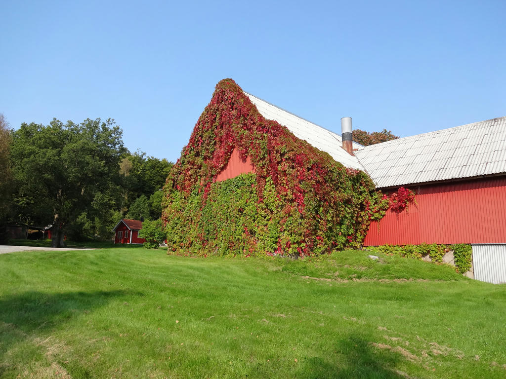
Slätteryd. Brightened the photo using the levels tool.
14.
15.
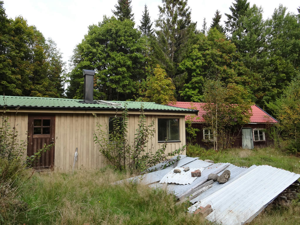
Stenhestra
16.
17.
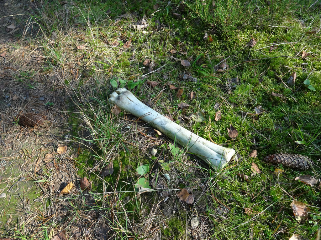
18.
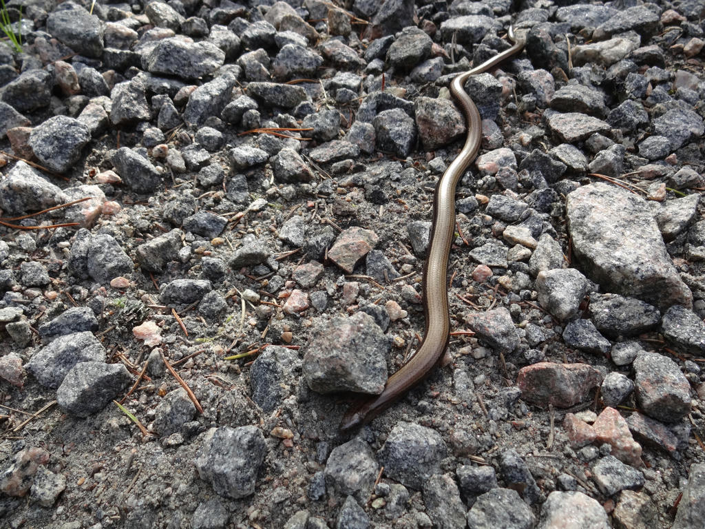
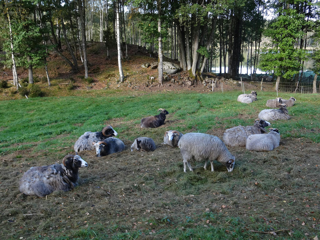
Slowworm
19.
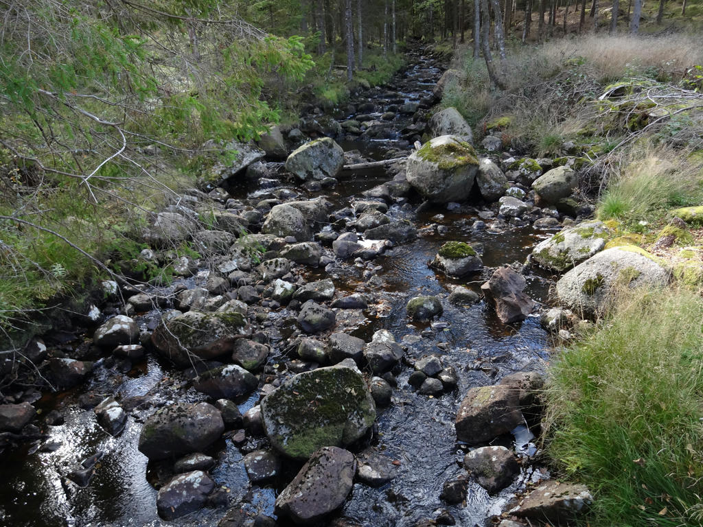
Flankabäcken
20.
Used hue restorer plug-in to get rid of the cyan-ish sky color. Rotated and cropped the photo.
21.
Rotated the photo slightly and cropped it.
22.
Rotated and cropped the photo. Also used the hue restorer plug-in to get rid of the cyan-ish sky color.
23.
Used the hue restorer plug-in to get rid of the cyan-ish sky color. Slightly darkened the sky and the non-sky parts separately (using curves tool).
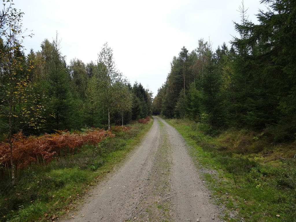
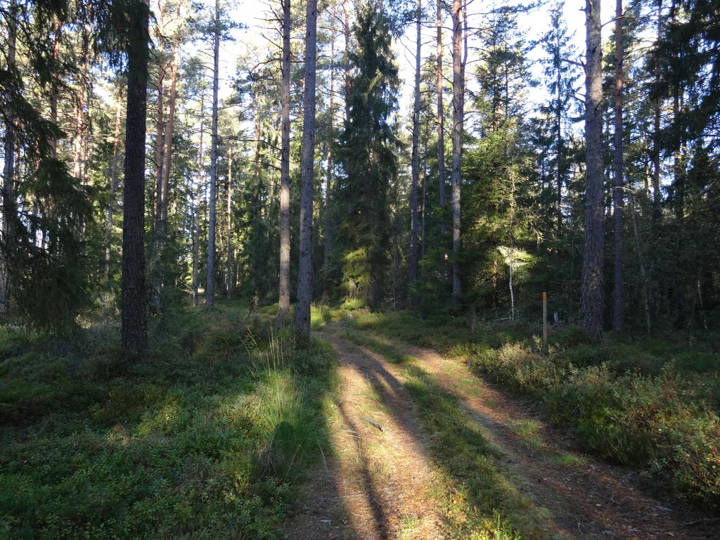
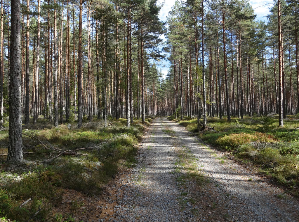
24.
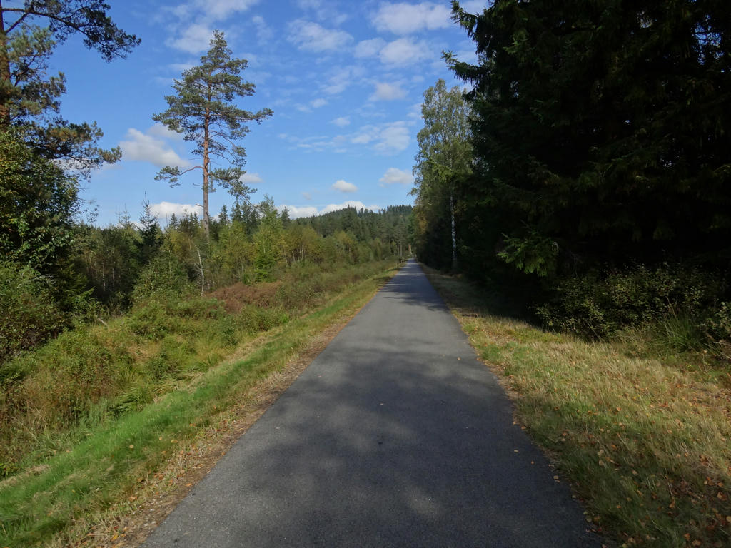
The railway embankment between Hestra and Gislaved. Although this is a cycle path now, it used to be the railroad track. This line was frequented between 1915 and 1962.
25.
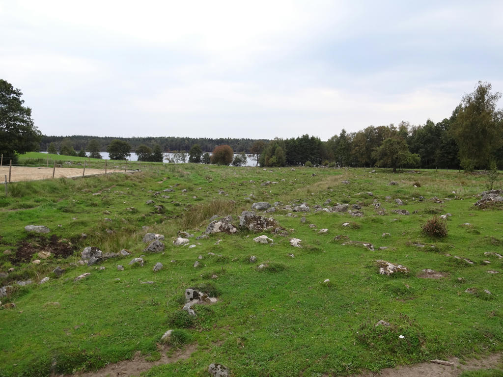
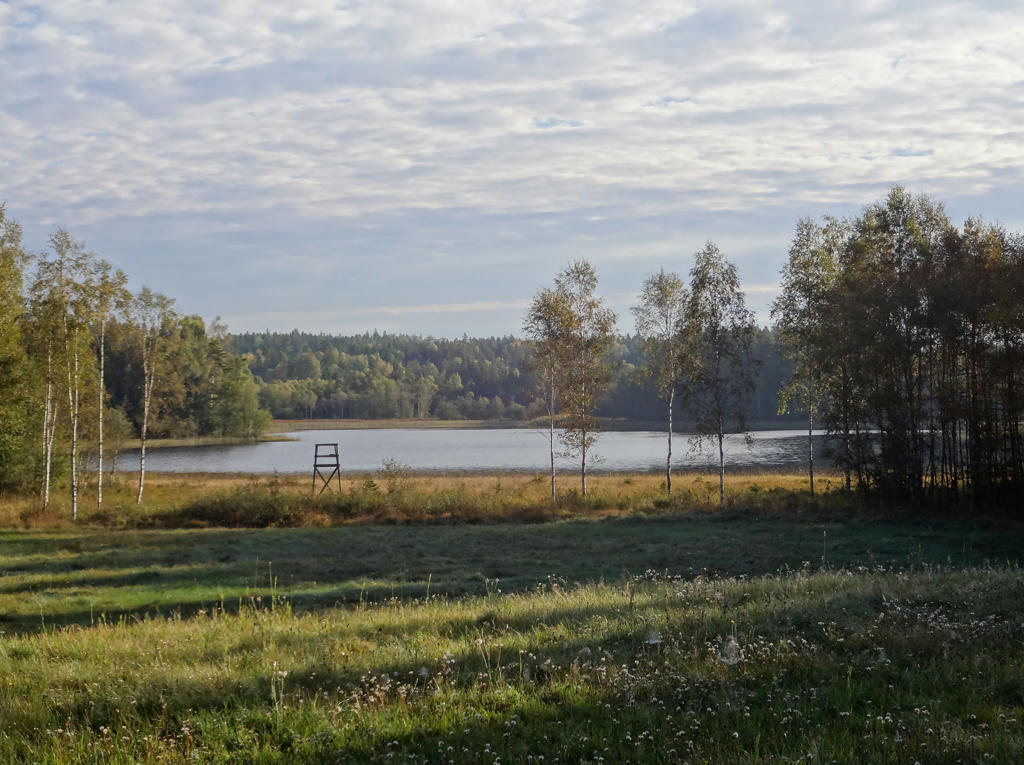
26.
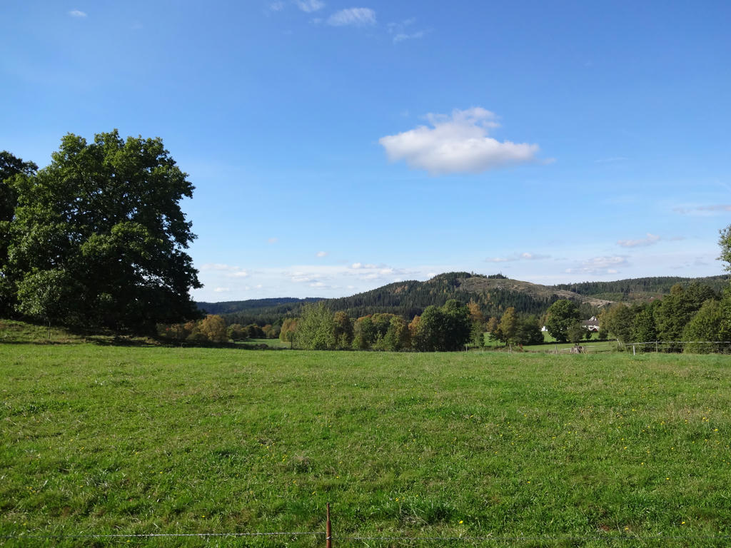
A beautiful meadow with a nice view, near Kyrkobol.
27.
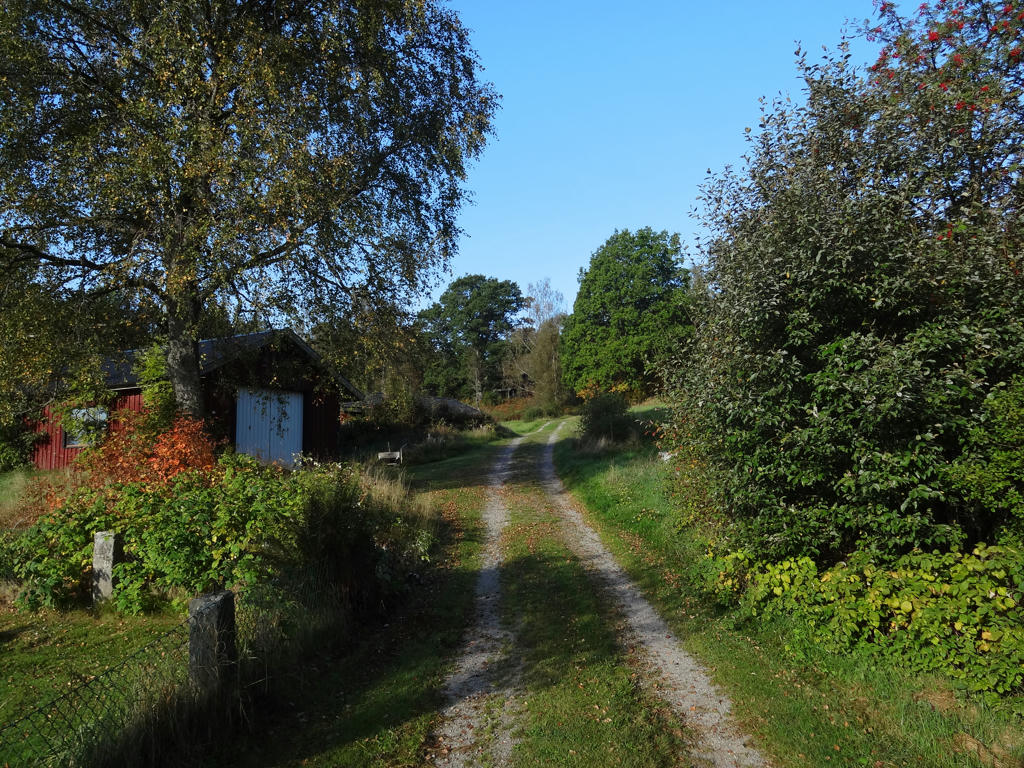
28.
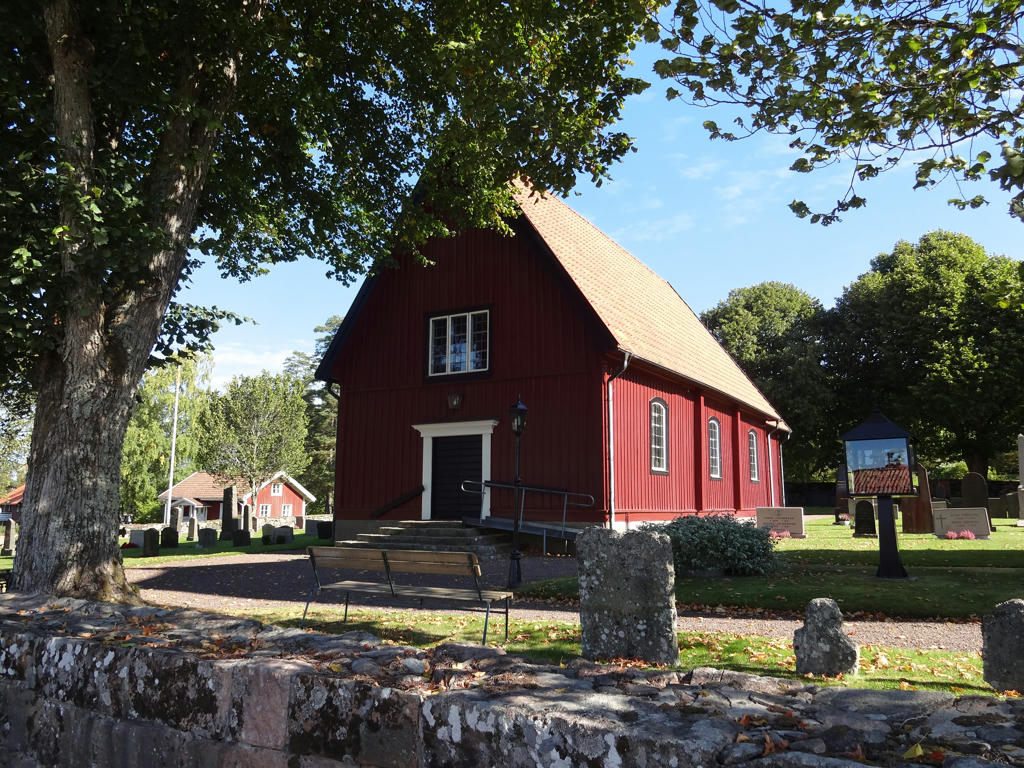
Hestra church. Used hue restorer plug-in to get rid of the cyan-ish sky.
29.
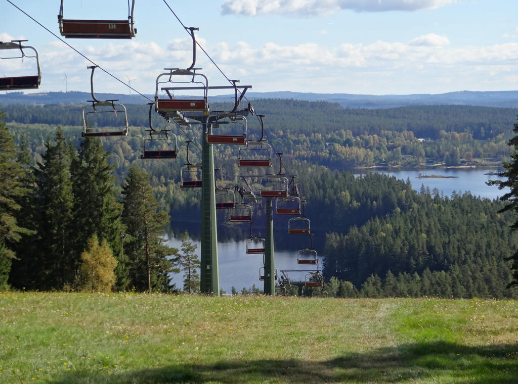
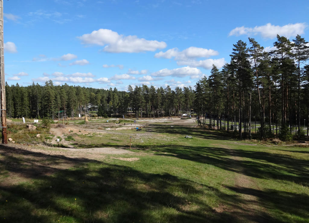
At Isaberg Mountain Resort. The lake in the background is Algustorpasjön. Rotated and cropped the photo.
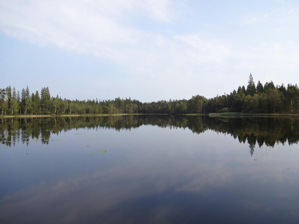
30.

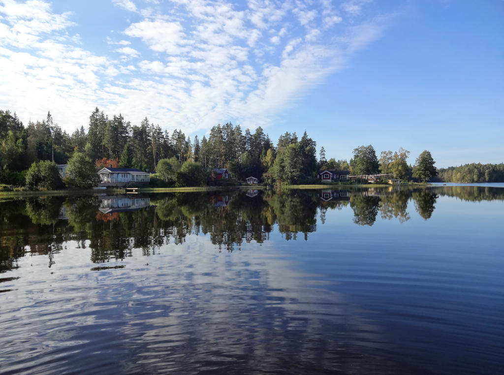
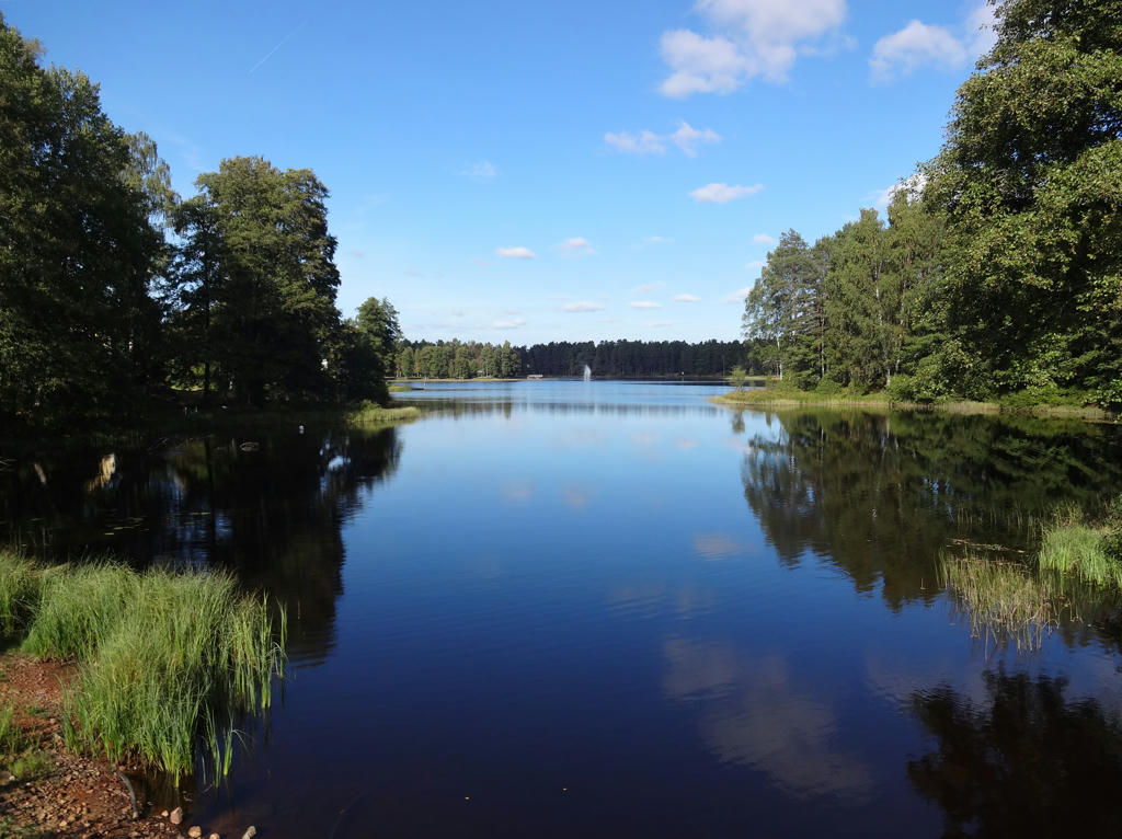
Algustorpasjön. Rotated and cropped the photo.
31.
32.
Isaberg. Rotated and cropped the photo.
33.
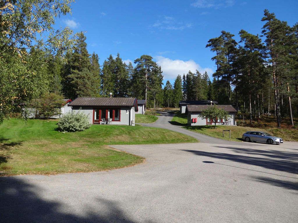
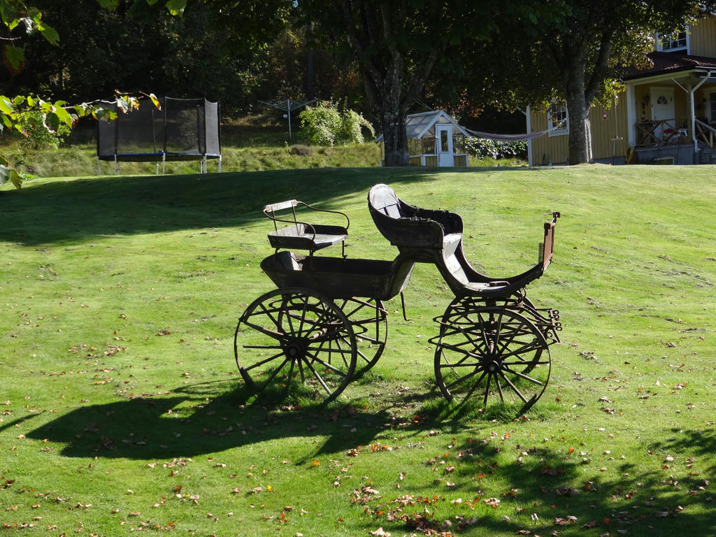
Isaberg cabin village.
34.
Agnsjön. Rotated the photo slightly and then cropped it. Also used the hue restorer plug-in to get rid of the cyan-ish sky parts.
35.
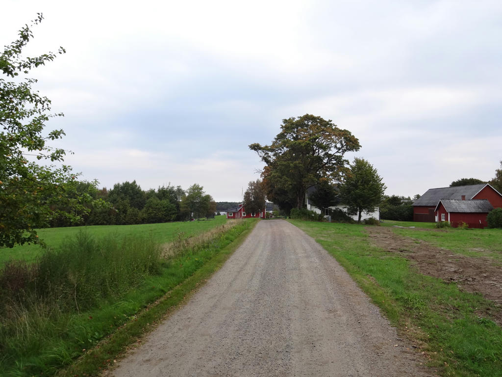
Hestra. Rotated and cropped the photo.