From Södra Kringelvägen in the southern part of Hässleholm I walked about 30.3km of the Skåneleden trail to reach Hågnarp west of Bjärnum. Then I walked 4.8km extra to reach the train stop in Bjärnum. Thus in total the walk was 35.1km, i.e. not much shorter than the previous walk (almost all of the Skåneleden walks ended up being about 30km or above 30km long). The total duration for the walk was 9h44mins. Therefore, the average speed for the walk was approximately 3.61km/h, which was slightly faster than the previous walk (where the average speed was approximately 3.46km/h). As usual I didn't want to rush things since I wanted to take many photos. I walked a bit faster on the asphalt road from Hågnarp to Bjärnum.
To travel back to the hostel I first took train to Hässleholm and in Hässleholm I switched to the train in Malmö. From Malmö Triangeln I then traveled by city buses to the hostel. The duration for the travel back was 1h47mins in total.
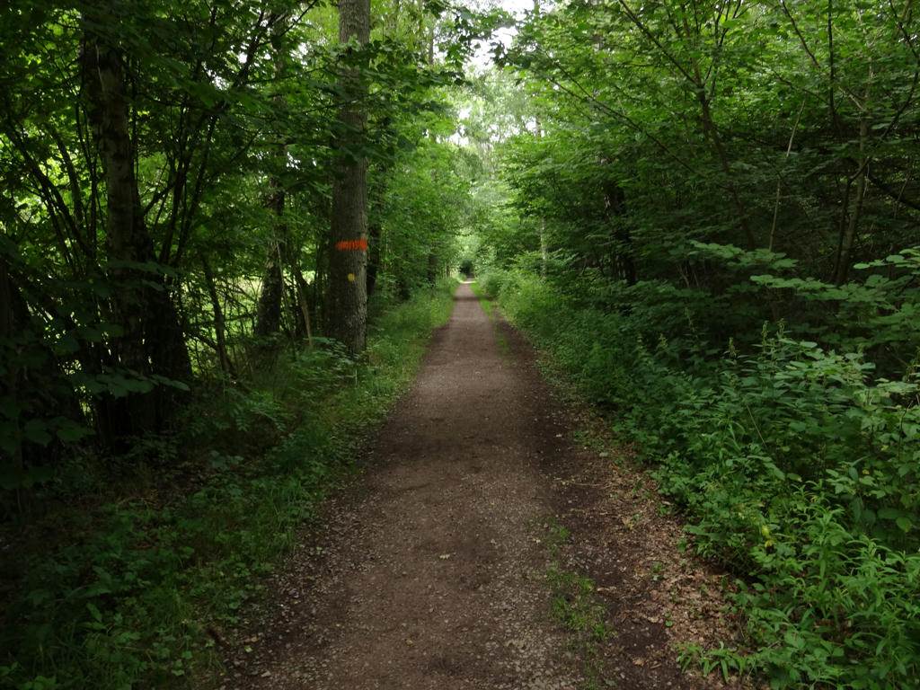
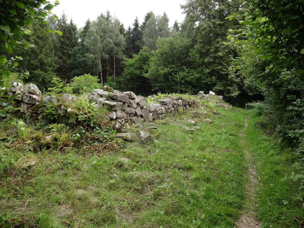
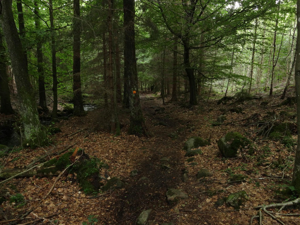
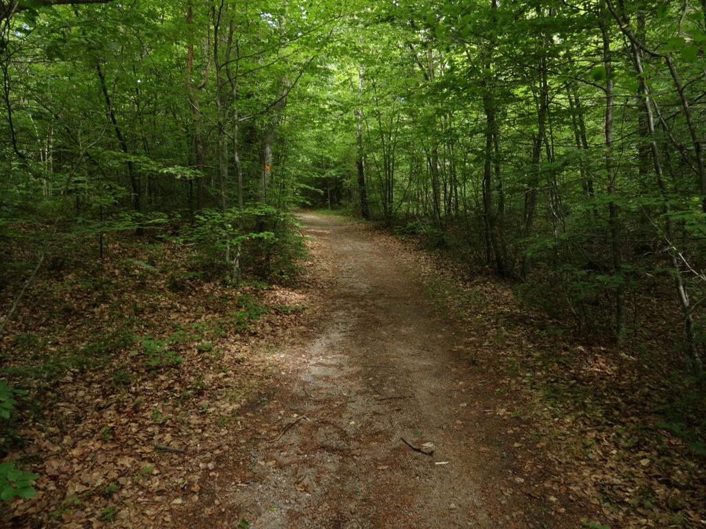
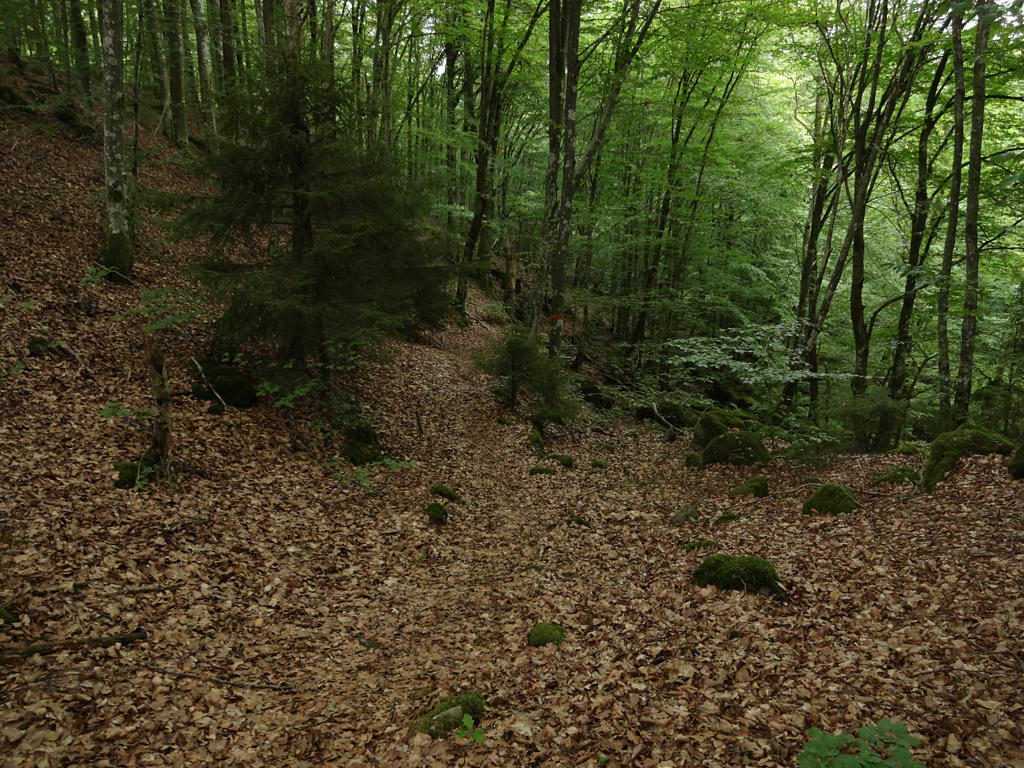
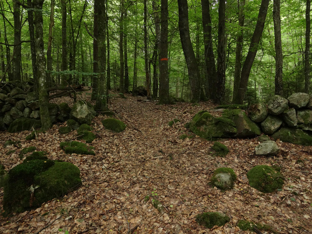
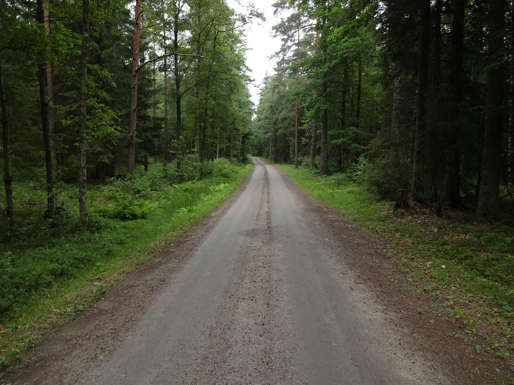
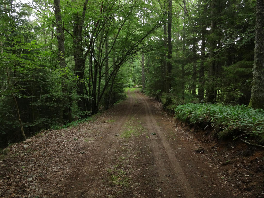
Anyways, it was yet another interesting Skåneleden walk but it had less variety in terms of the terrain; in fact the walk went to a large extent through deciduous forests (and to a lesser extent through coniferous forests) and there was barely any farm land on the path. There were however a couple of towns on the path, more specifically: Hässleholm (although the trail went through an uninteresting part of Hässleholm), Finja (which is a small town located near Hässleholm, it's more of a suburb) and Bjärnum. Between Finja and Bjärnum there are only a number of small villages on the path and some parts feel quite desolated. The trail goes next to only a couple of lakes: Finjasjön, Barsjön and a couple of ponds. The trail went to a large extent on footpaths but there were also some segments going on asphalt, gravel or tractor roads. Rather than trying to describe the general characteristics (which I find difficult to describe well) in more detail I will mention some of the highlights.
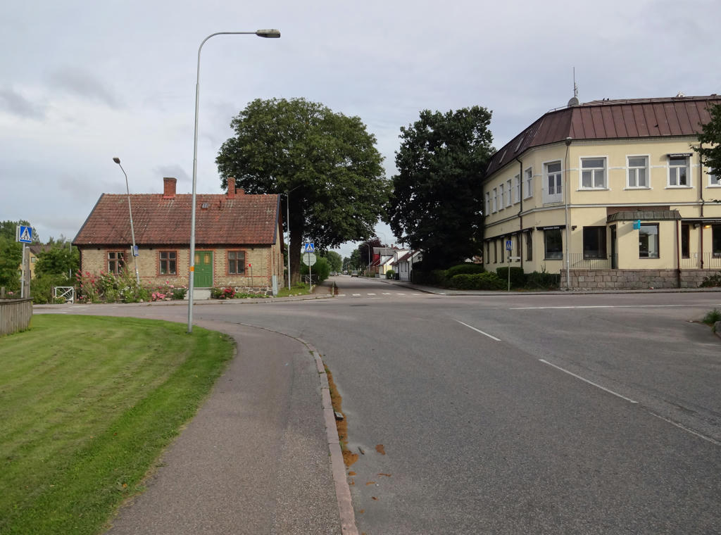
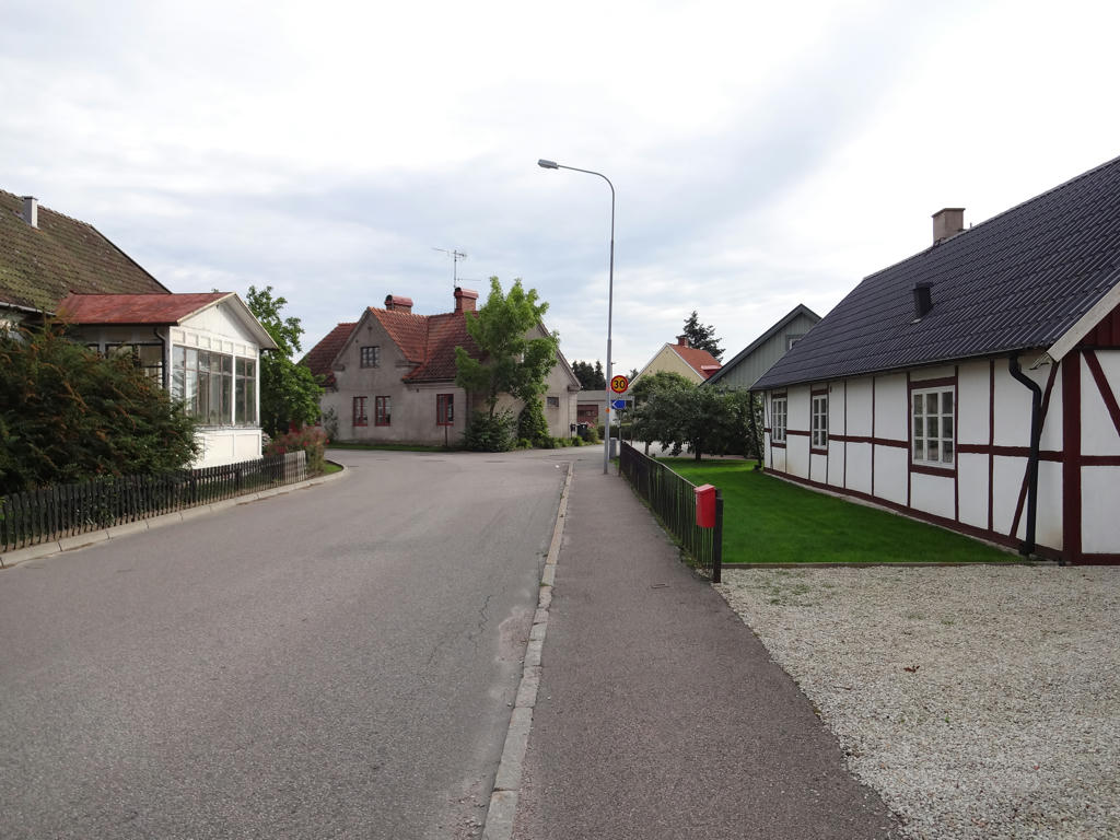
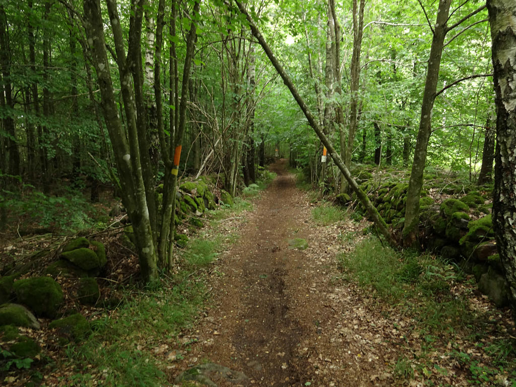
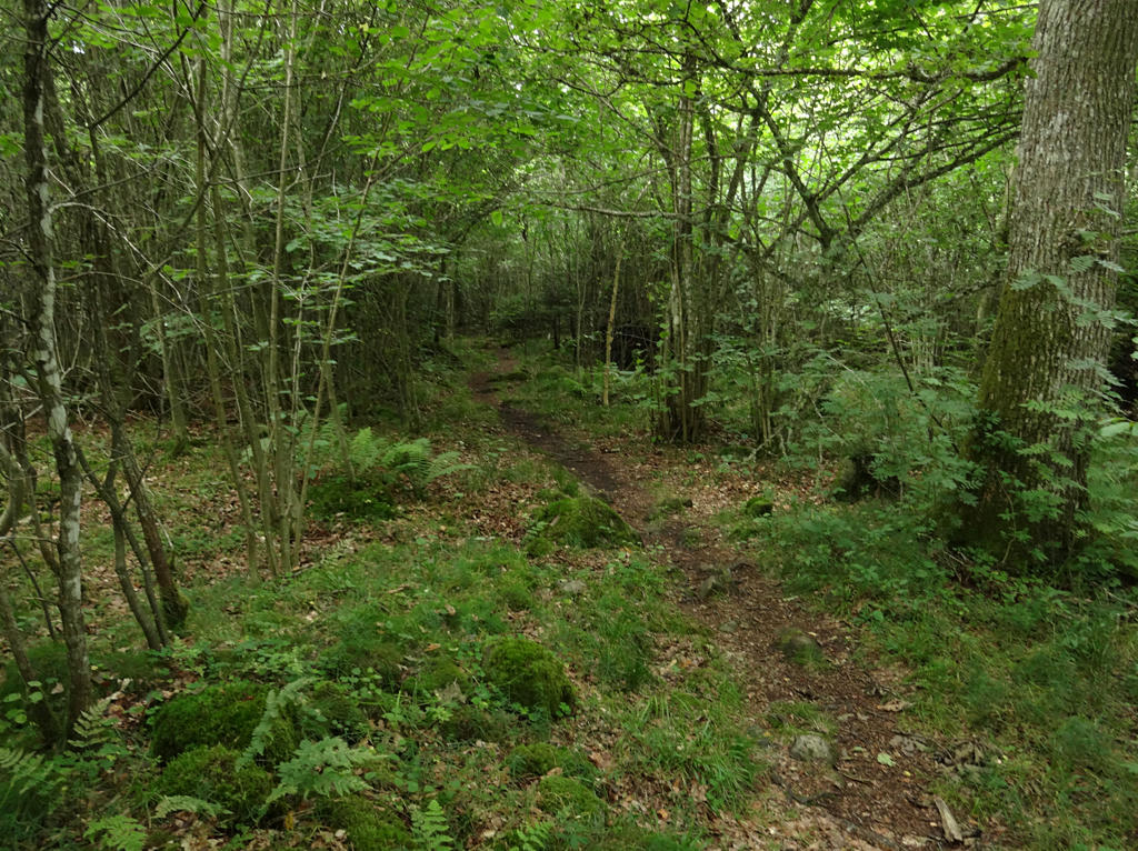
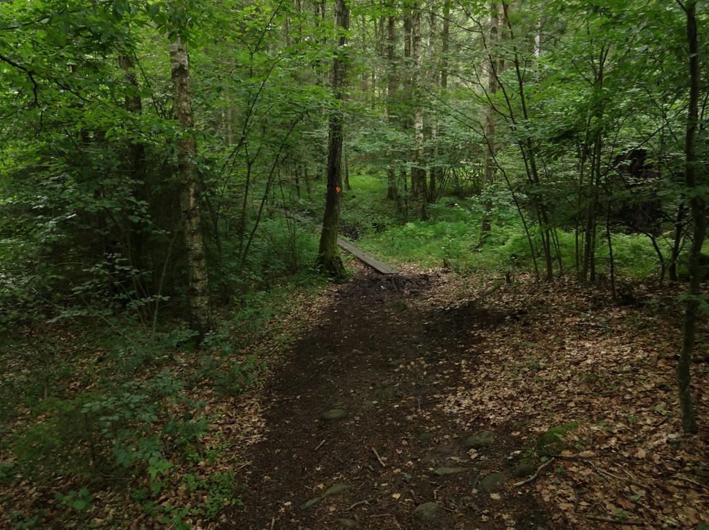
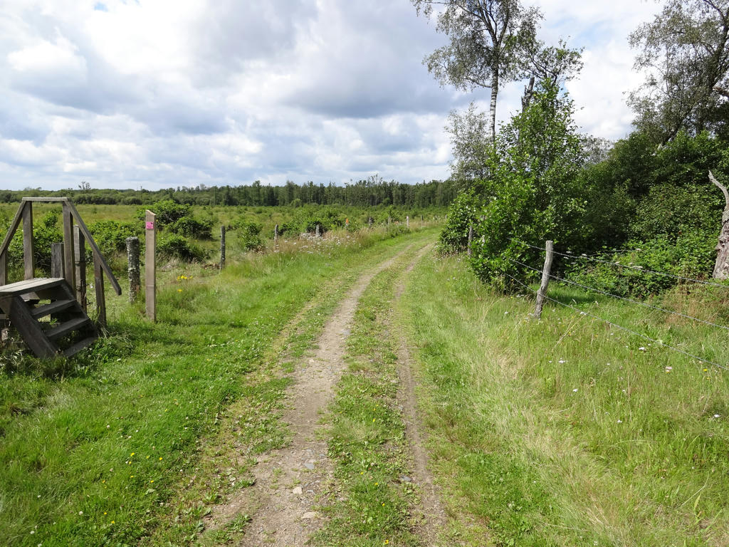
As I've mentioned before the trail goes through an uninteresting part of Hässleholm but it does go next to Hässleholmsgården which is an interesting looking mansion. After Hässleholmsgården the trail continues through the open air region near Finjasjön. Not only are the forests here pretty interesting but the Mölleröd castle ruin can be found here. The trail doesn't go close to Finjasjön but the lake can seen from a distance. After crossing national highway 21 shortly after Finja and until Vedema the trail goes to a significant extent on gravel or tractor roads and through less interesting forests. There are mostly a couple of villages or croft ruins here. In Vedema strövområde (area for country walks) the forests are more interesting and both Hörlingeån and Barsjön can be found here. After Vedema strövområde and until the asphalt road going from Hågnarp to Bjärnum there are several villages and interesting forest segments. This part of the trail has a feeling of desolation to it and the cloudy weather made the atmosphere more interesting. The asphalt road between Hågnarp and Bjärnum isn't that interesting. Bjärnum itself doesn't seem to be very interesting, but then again I only saw a small part of the town.
As for the weather it can be noted that the during the start of the walk it was somewhat cloudy but as the day continued it got cloudier and cloudier. Shortly before I reached Aggarp it started raining but only for a short moment. The real rainfall came when I was in Bjärnum waiting for the train. My rain cape got very wet as a consequence.
Enjoy the photos!
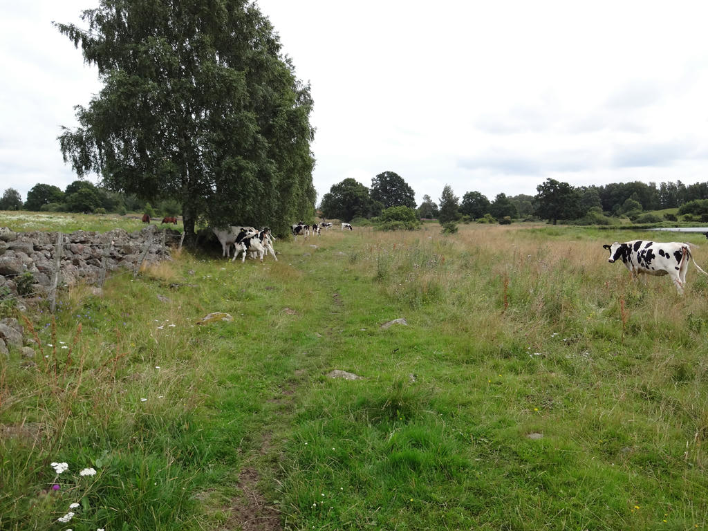
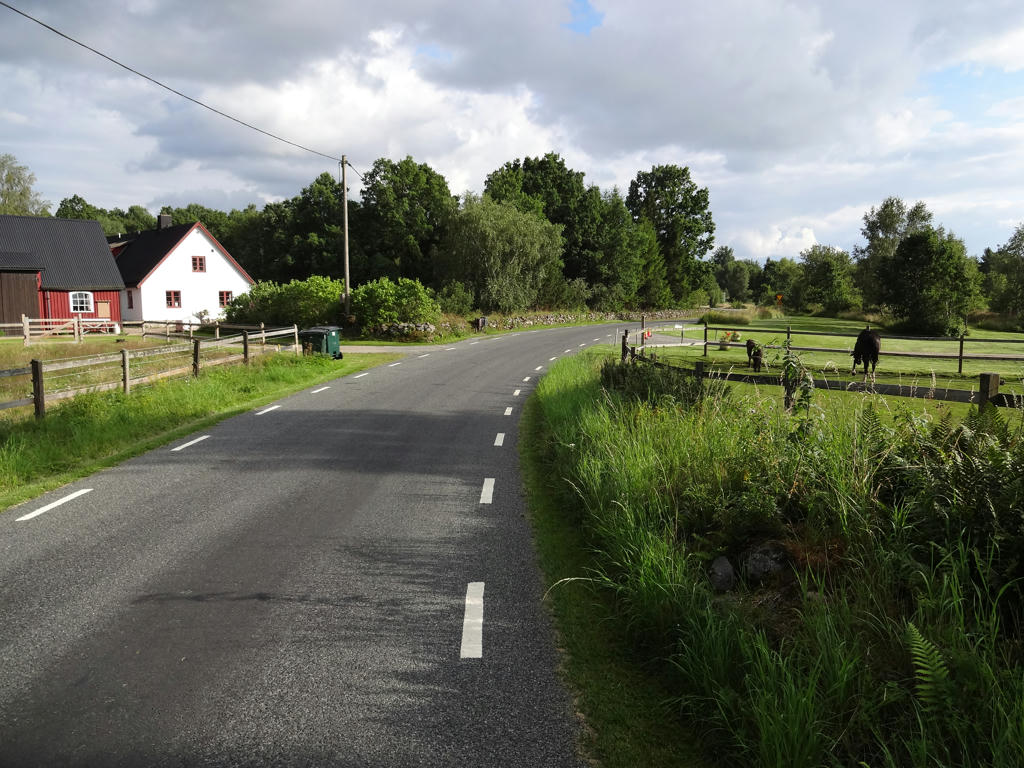
1.
Used the hue restorer plug-in to remove the cyan-ish sky color.
2.
The second location in Skåne where I saw giant hogweed.
3.
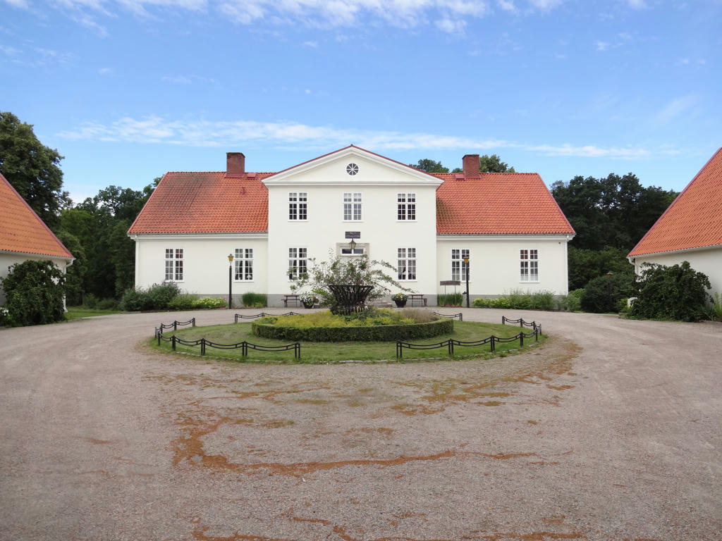
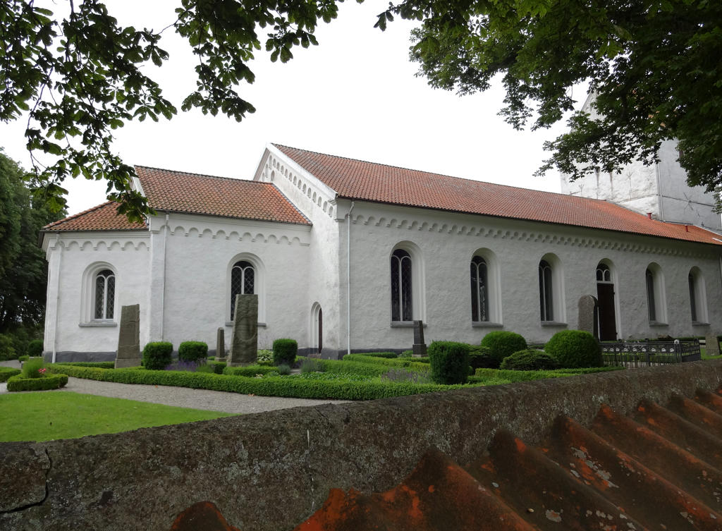
Hässleholmsgården (main building)
4.
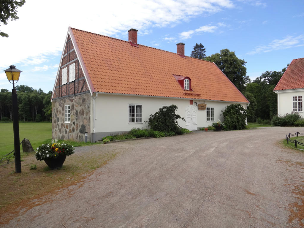
Hässleholmsgården (side building)
5.
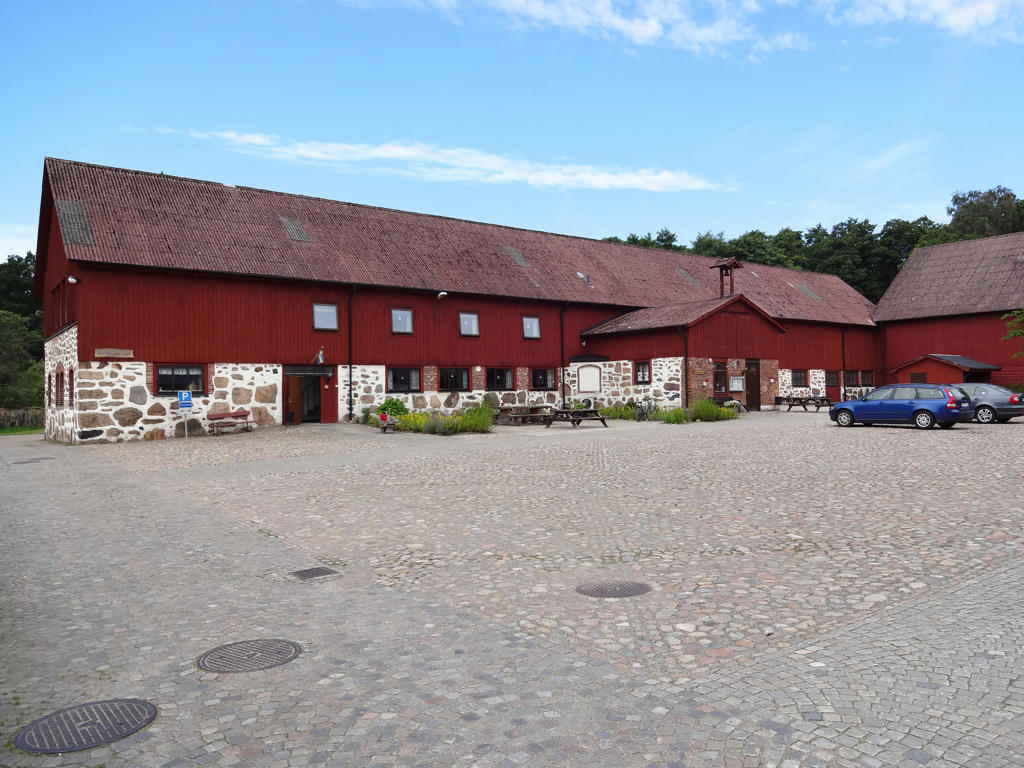
Hässleholmsgården (stable). Used the hue restorer plug-in to reduce the cyan-ish sky color. Brightened the sky slightly using the curves tool.
6.
7.
8.
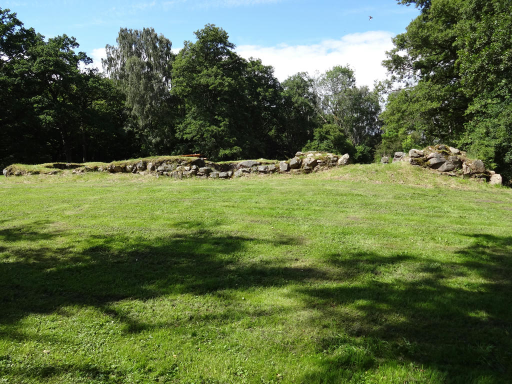
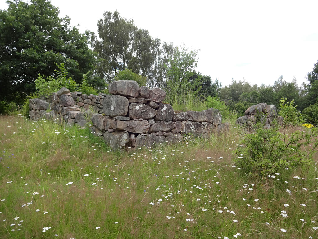
"The ruins of castle Mölleröd
All that remains of Castle Mölleröd today is a ruin. It did not have a long history - less than a hundred years. In 1601, Beate Hultfeldt received what was then a crown estate as a gift from King Christian IV. She caused an entirely new complex to be built on her freshly acquired property. The new house was, however, burnt to the ground in August 1678, during the Scanian Wars (the armed struggle for Skåne between Denmark and Sweden, a short time after the province as ceded to Sweden following the Thirty Years War). The fortress was never rebuilt. It was constructed on a long rise by River Alma. Water was channeled into moats around the square external fortifications, whose corner bastions were made of granite. The stone house had three storeys, with two wings extending southwards. The main entrance was in the octagonal staircase tower on the south side. There were vaulted cellars beneath the entire building, whose walls were made of rough blocks of hewn granite. Brick was put to good use in the staircase tower and gable constructions. The stone house of Mölleröd was an austere variant of a more refined type of Renaissance castle. Its closest counterpart is Castle Lystrup on Zealand. In 1680 Mölleröd was appropriated by the Swedish Crown, becoming a royal estate and the residence of the local cavalry captain. The present main building was erected in 1837. The two barns were probably in existence back in Beate Huldfeldt's time. The ruin was restored in 1964."
All that remains of Castle Mölleröd today is a ruin. It did not have a long history - less than a hundred years. In 1601, Beate Hultfeldt received what was then a crown estate as a gift from King Christian IV. She caused an entirely new complex to be built on her freshly acquired property. The new house was, however, burnt to the ground in August 1678, during the Scanian Wars (the armed struggle for Skåne between Denmark and Sweden, a short time after the province as ceded to Sweden following the Thirty Years War). The fortress was never rebuilt. It was constructed on a long rise by River Alma. Water was channeled into moats around the square external fortifications, whose corner bastions were made of granite. The stone house had three storeys, with two wings extending southwards. The main entrance was in the octagonal staircase tower on the south side. There were vaulted cellars beneath the entire building, whose walls were made of rough blocks of hewn granite. Brick was put to good use in the staircase tower and gable constructions. The stone house of Mölleröd was an austere variant of a more refined type of Renaissance castle. Its closest counterpart is Castle Lystrup on Zealand. In 1680 Mölleröd was appropriated by the Swedish Crown, becoming a royal estate and the residence of the local cavalry captain. The present main building was erected in 1837. The two barns were probably in existence back in Beate Huldfeldt's time. The ruin was restored in 1964."
9.
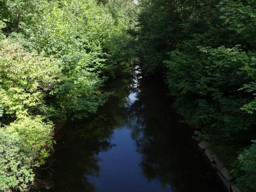
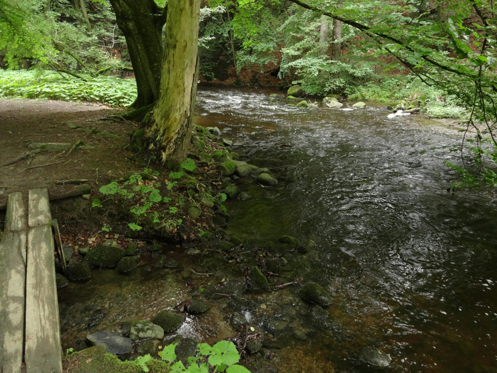
Almaån (Alma Stream)
"One of the prettiest streams in Skåne.
Sourcing at the outflow of Finja Lake it joins the Helge south of Knislinge and debouches in the Bay of Hanö.
The endangered thick-shelled river mussel breeds in the sand and gravel bed of the Alma. A filtrator, it lives on organic particles.
Alma has a very interesting fauna rich in fish species. Downstream at Spånga - one of the best fish sites in Skåne - you find 17 species. Worth protecting is the stone loach, gudgeon, chub and salmon.
Often you can see the rare blue kingfisher sitting on a tree looking for fish.
The Alma has been nominated a SSSI by the Swedish EPA."
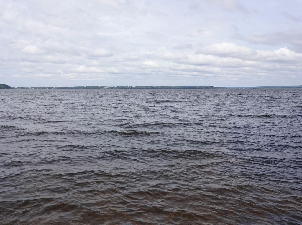
10.
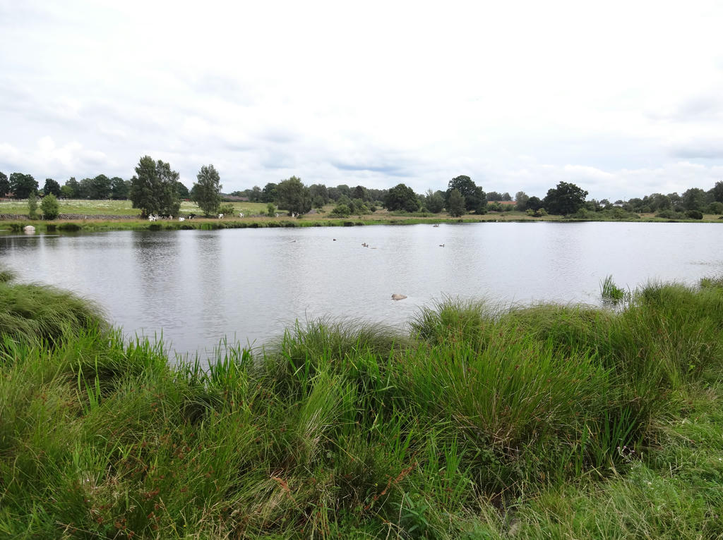
Finjasjön. Rotated the photo slightly and cropped it. Also used the brightness-contrast tool to slightly increase the brightness and contrast.
11.
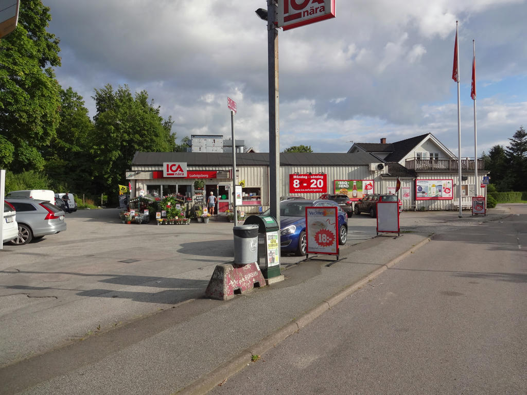
12.
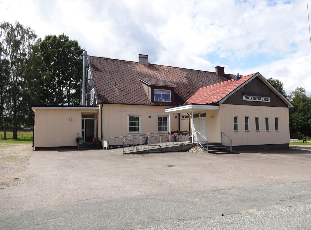
Finja Bygdegård (rustic community center). Rotated the photo slightly and cropped it.
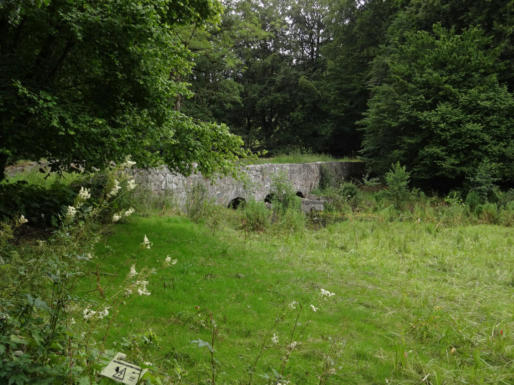
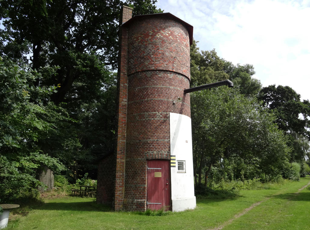
13.
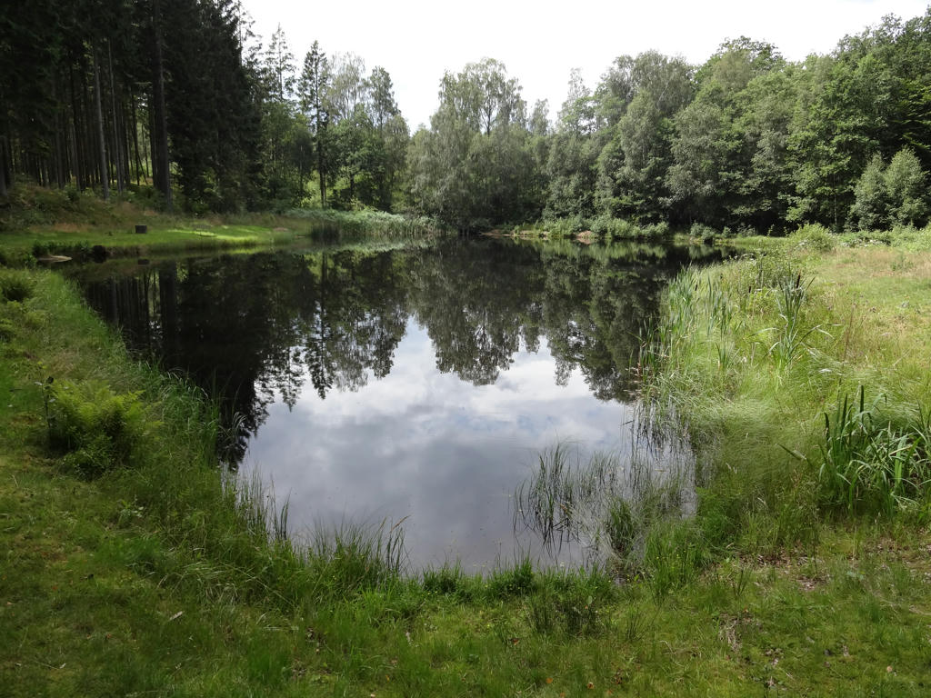
Fish pond
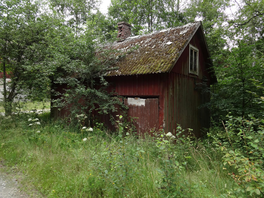
14.
Sharpened the photo slightly using unsharp mask.
15.
16.
17.
Rotated the photo slightly and cropped it. Also used the hue restorer plug-in to remove the cyan-ish sky color. Then I darkened the sky using the levels tool. Finally I used the brightness-contrast tool to slightly increase the contrast for the non-sky parts.
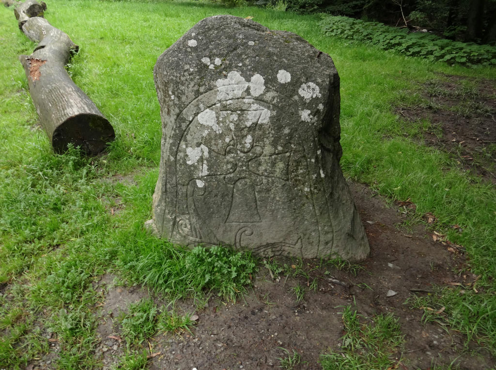
18.
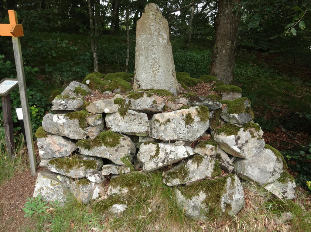
An old milestone. Rotated the photo slightly and cropped it.
19.
20.
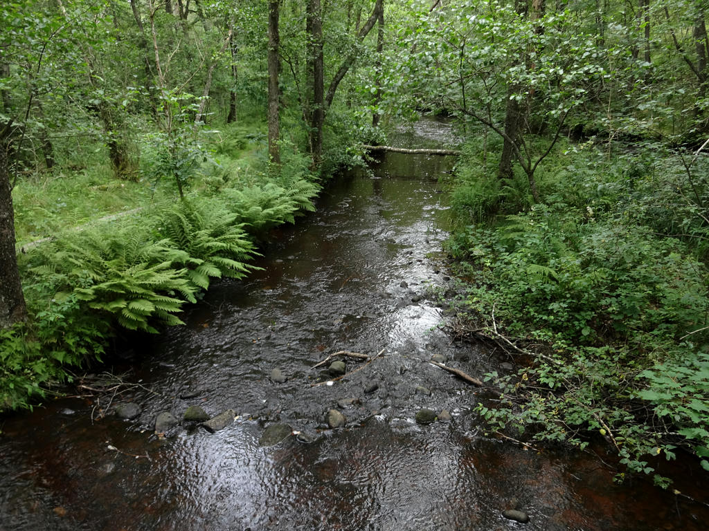
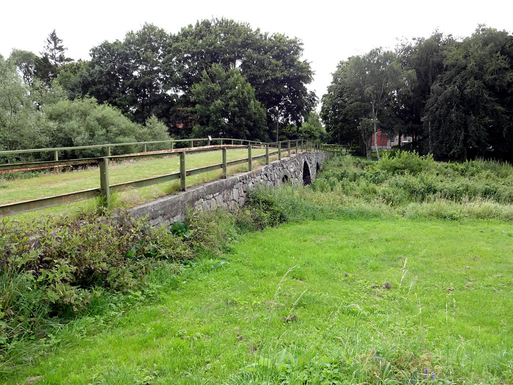
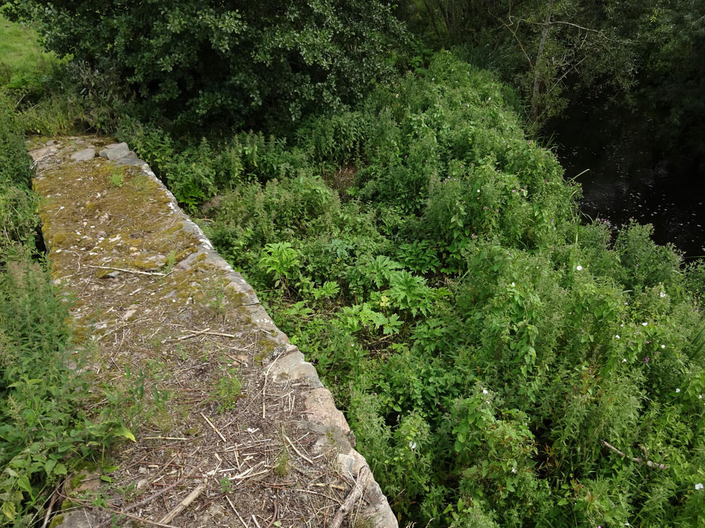
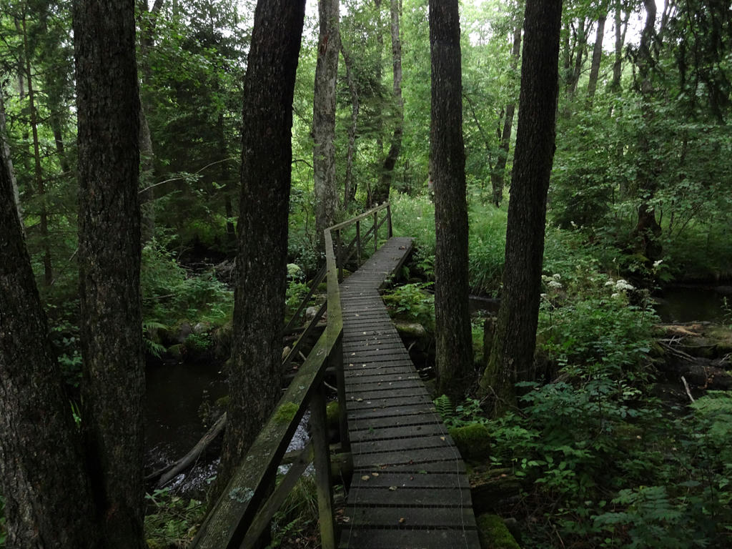
Hörlingeån. Sharpened the photo slightly using unsharp mask. Also increased the contrast slightly using the brightness-contrast tool.
21.
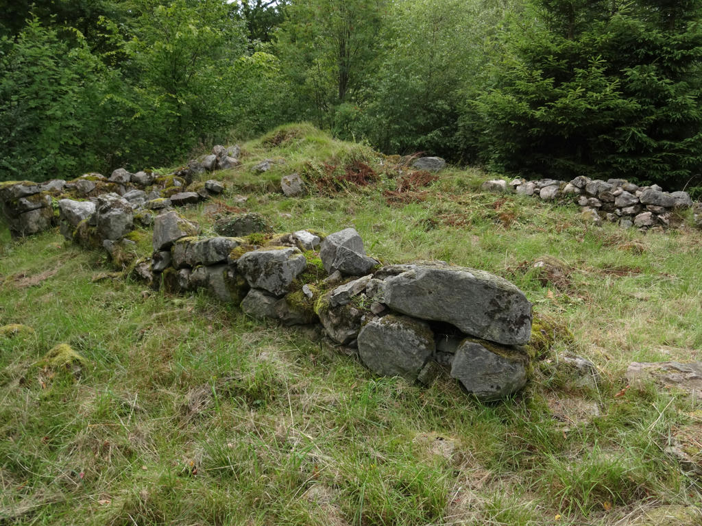
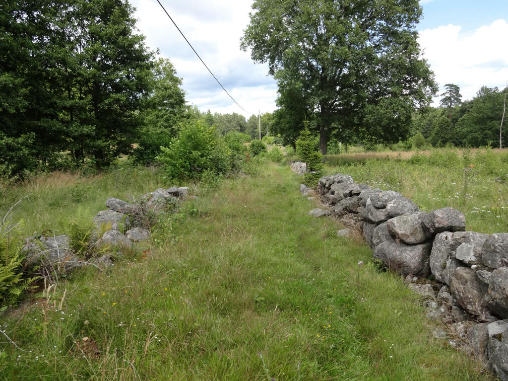
Embankment field (jordvallsgärde). Increased the contrast slightly using the brightness-contrast tool.
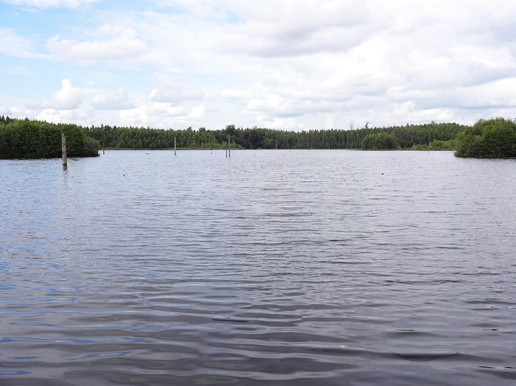
22.
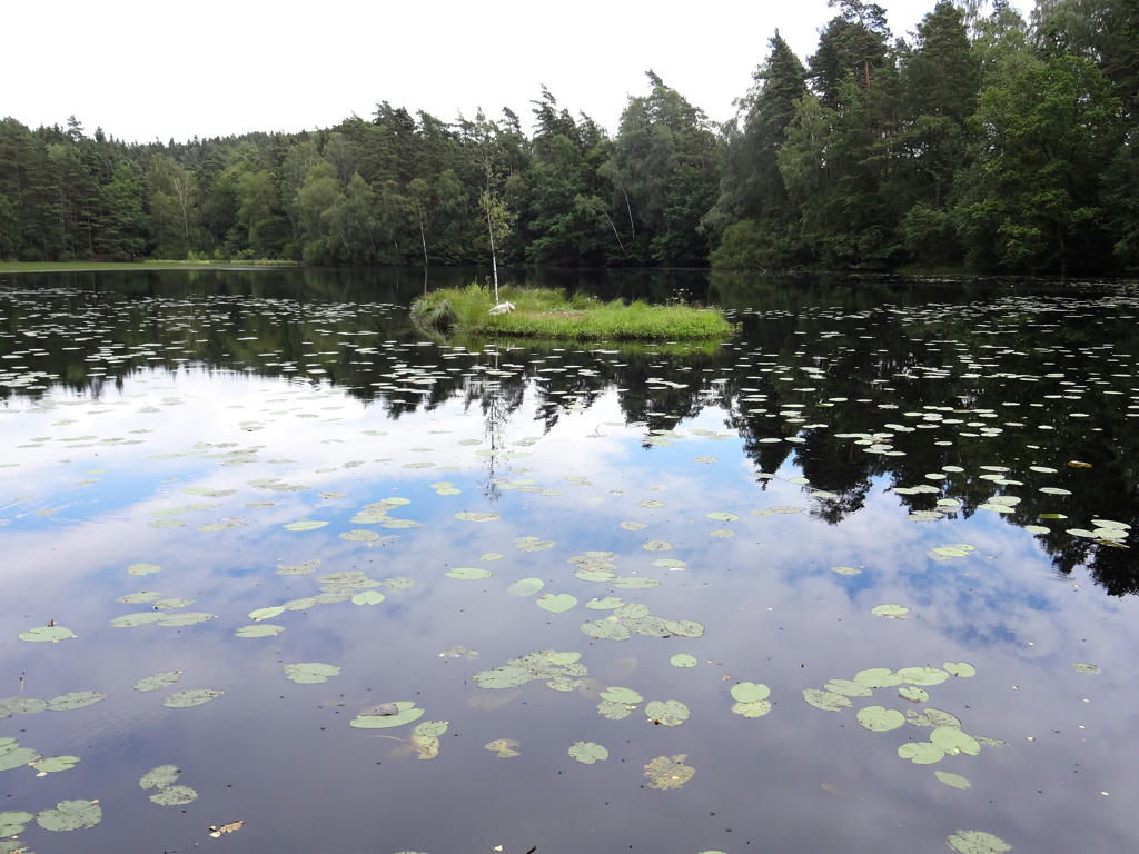
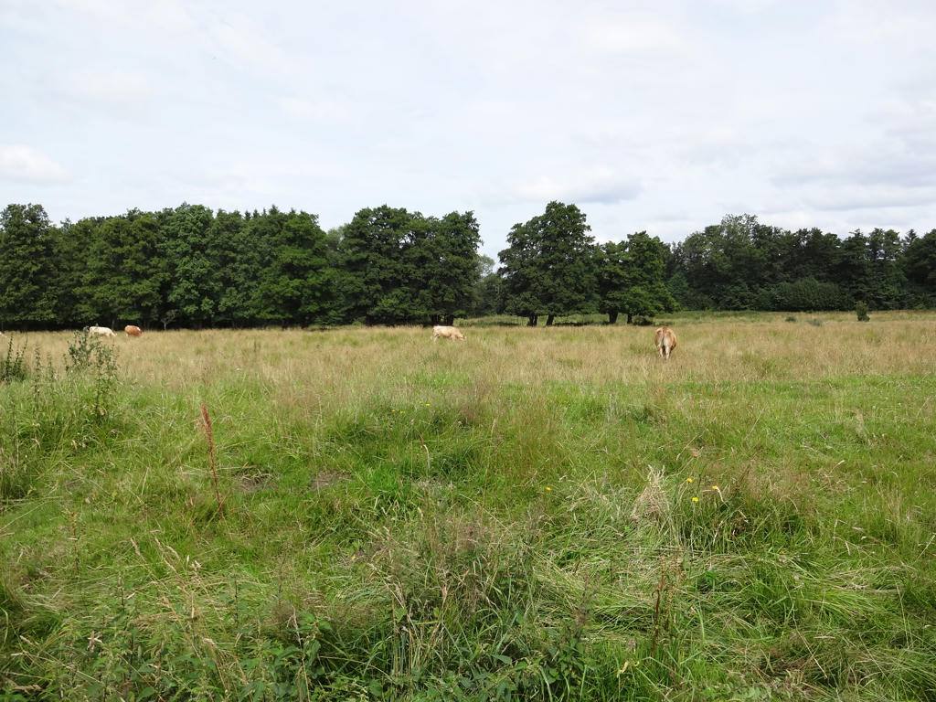
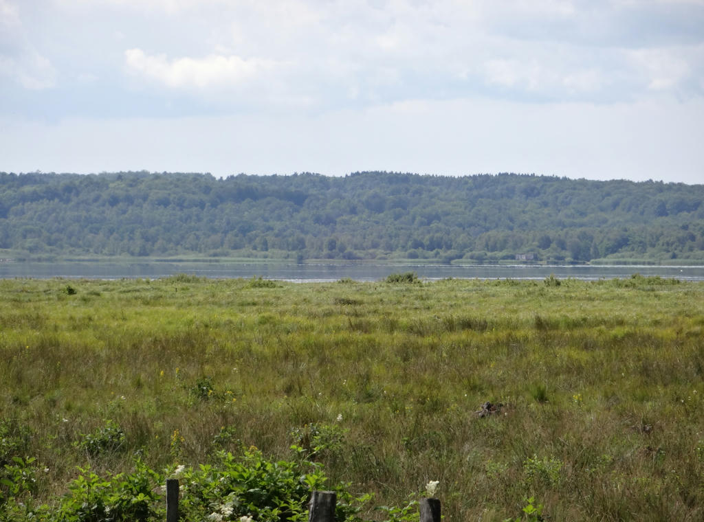
Barsjön. Increased the contrast slightly using the brightness-contrast tool.
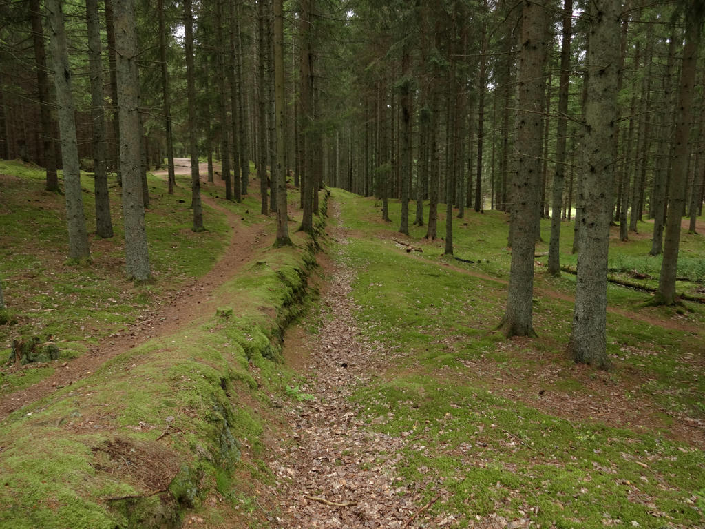
23.
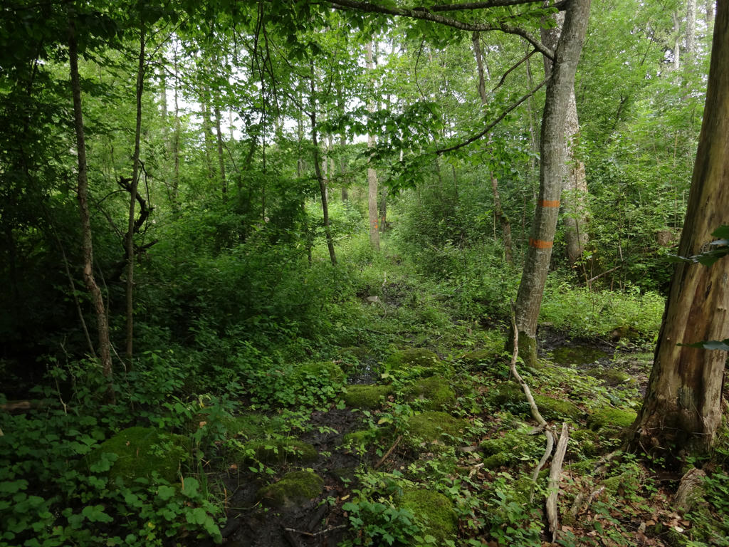
Vedema strövområde (area for country walks). Sharpened the photo slightly using unsharp mask. Also rotated the photo slightly and cropped it.
24.
Sharpened the photo slightly using unsharp mask.
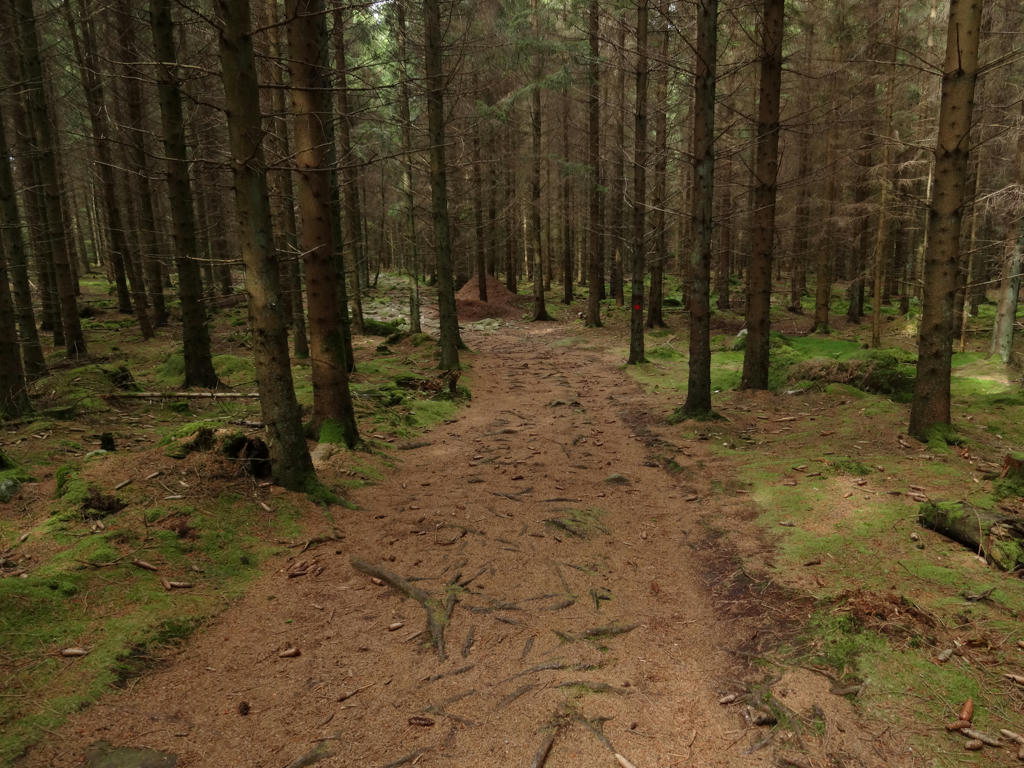
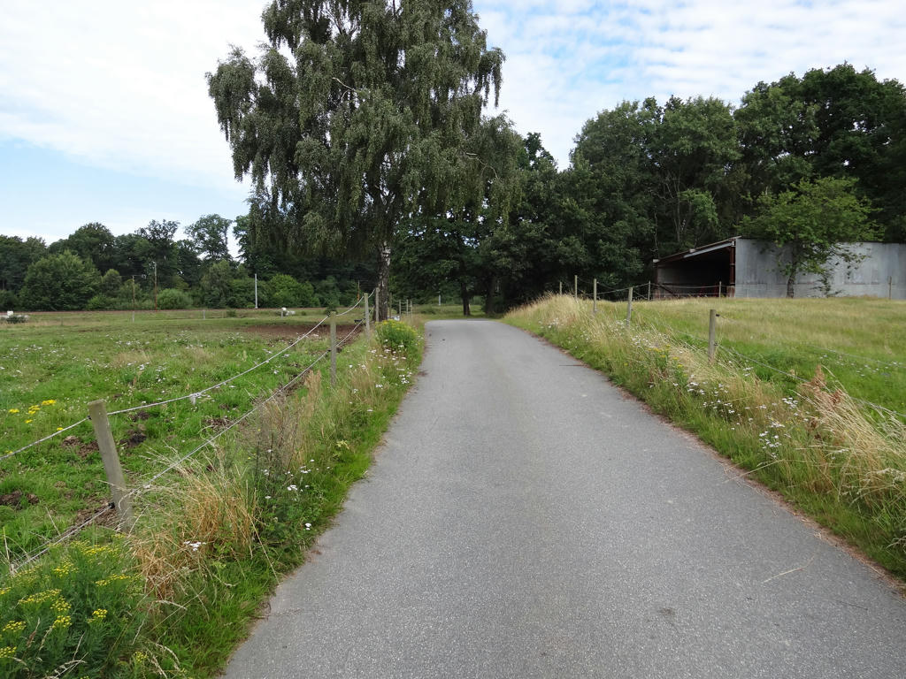
25.
26.
Sharpened the photo slightly using unsharp mask.
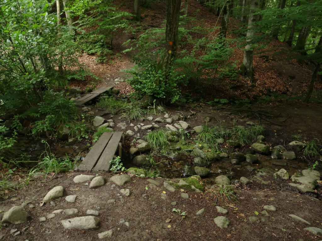
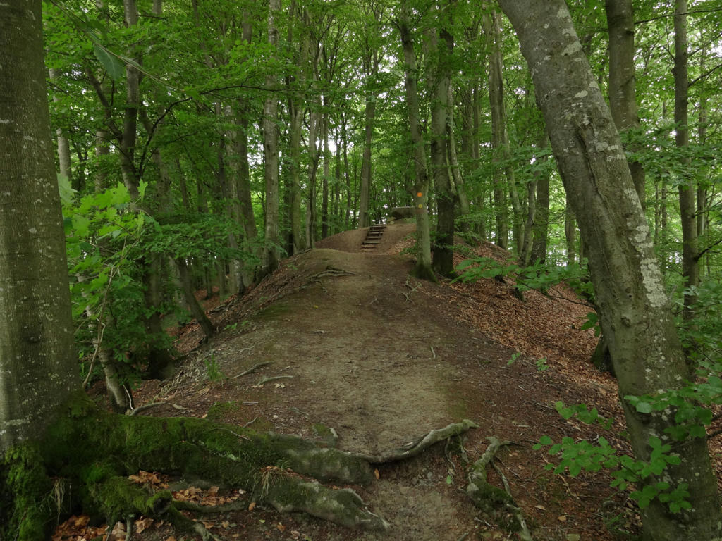
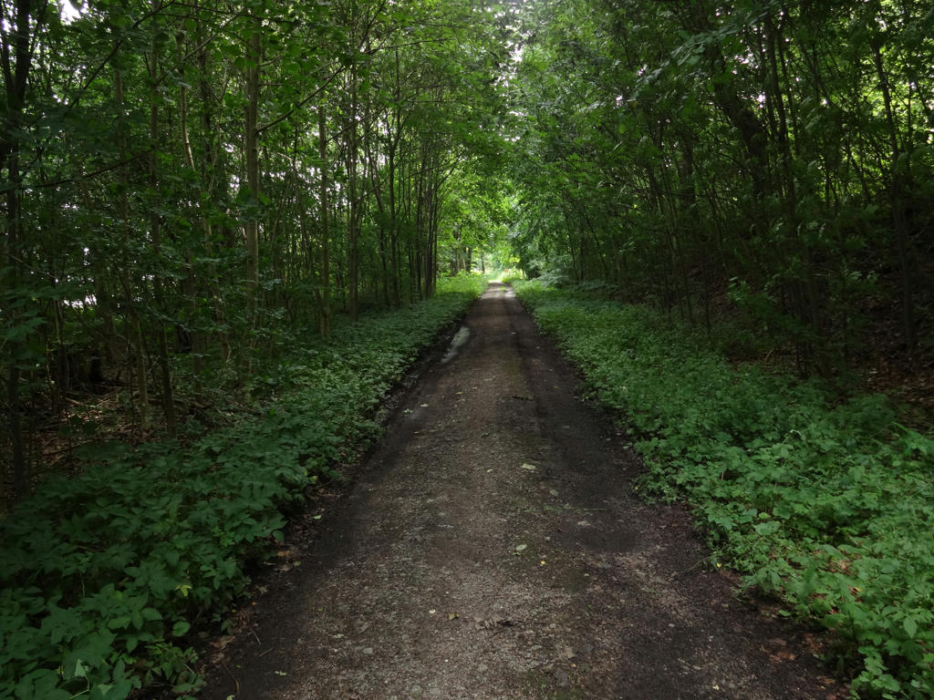
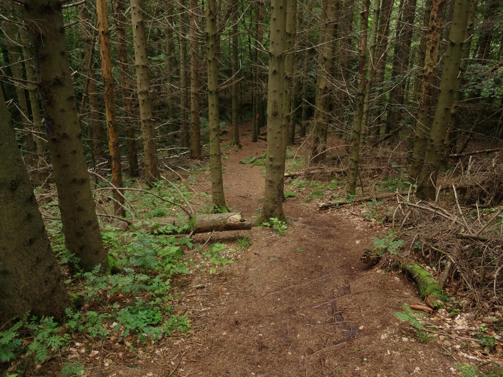
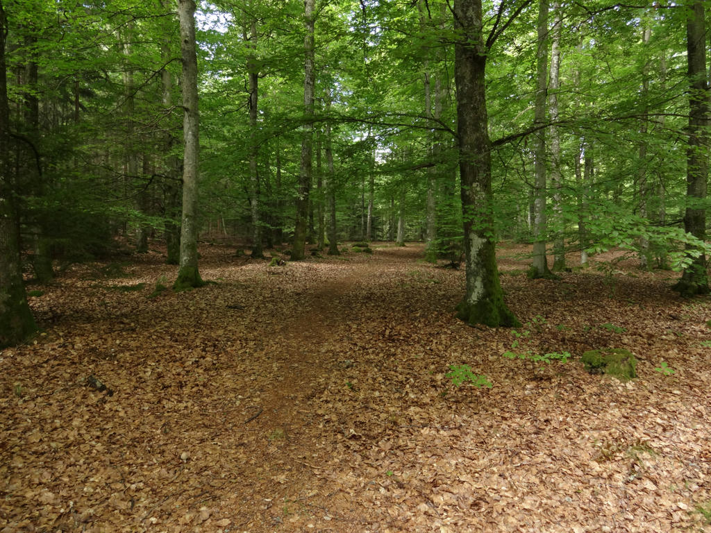
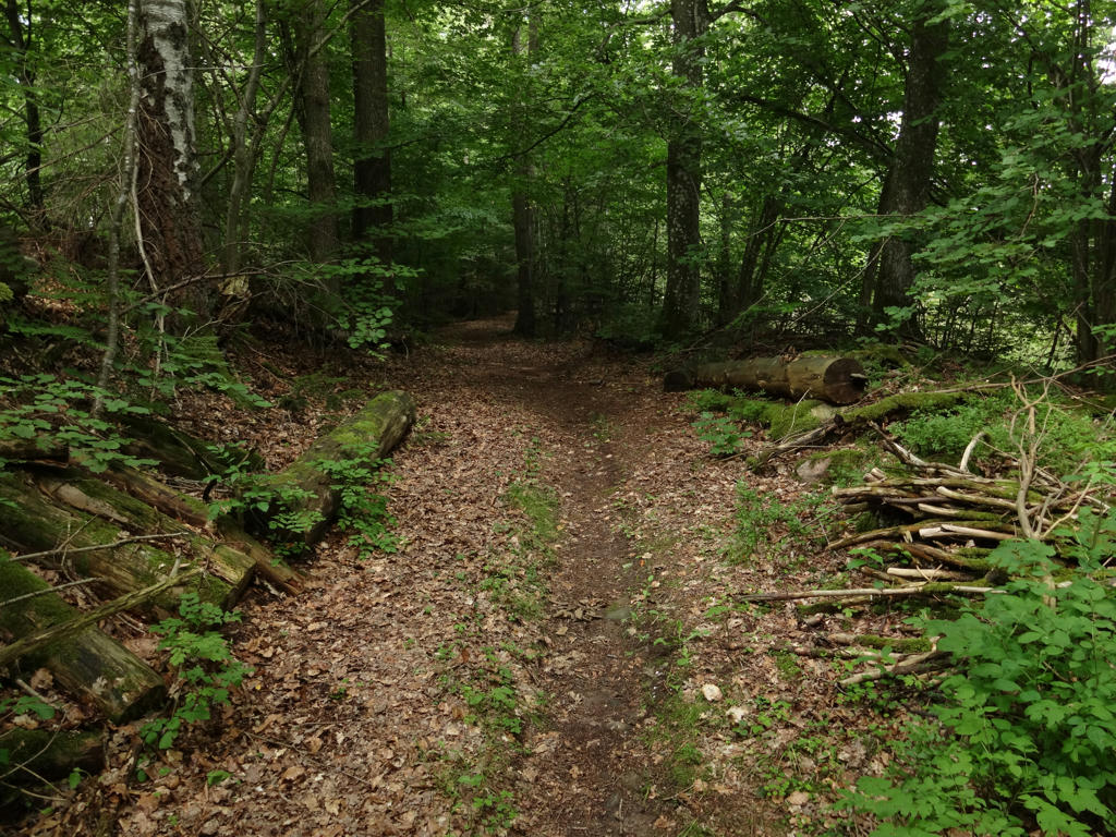
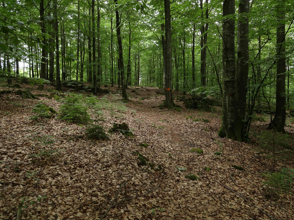
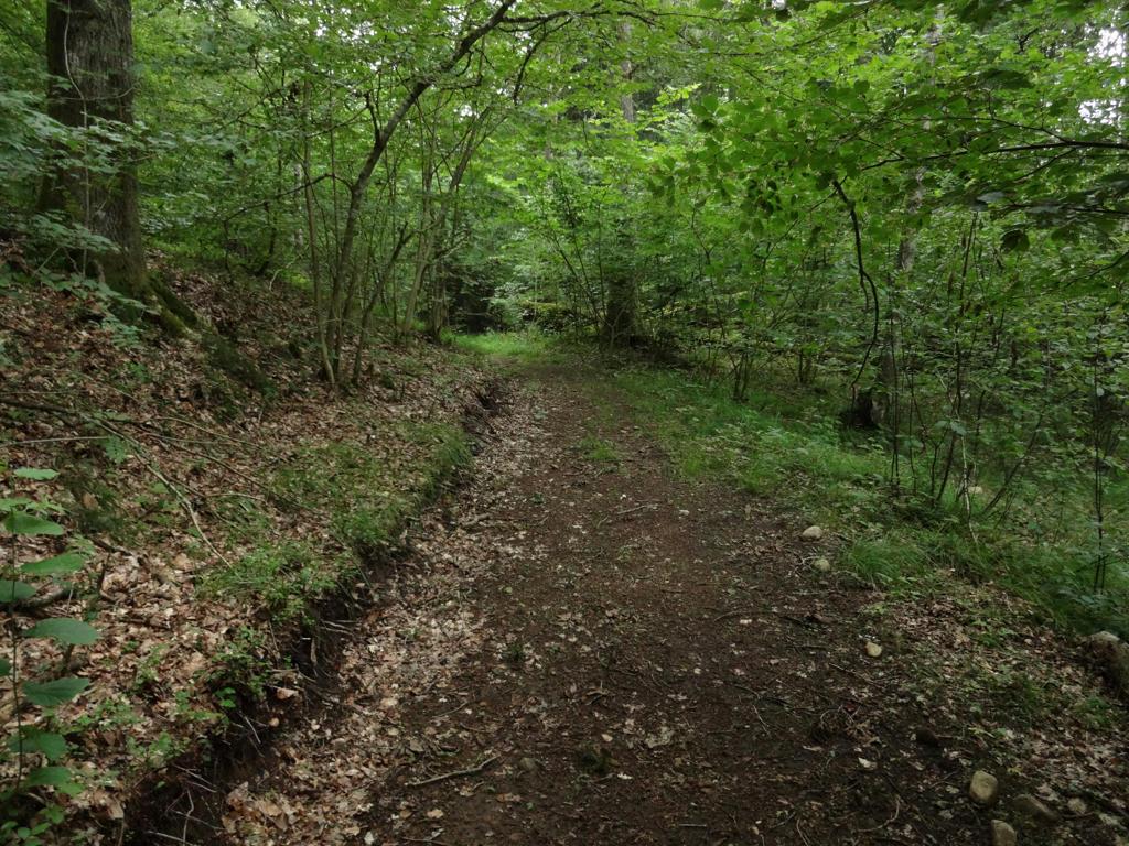
27.
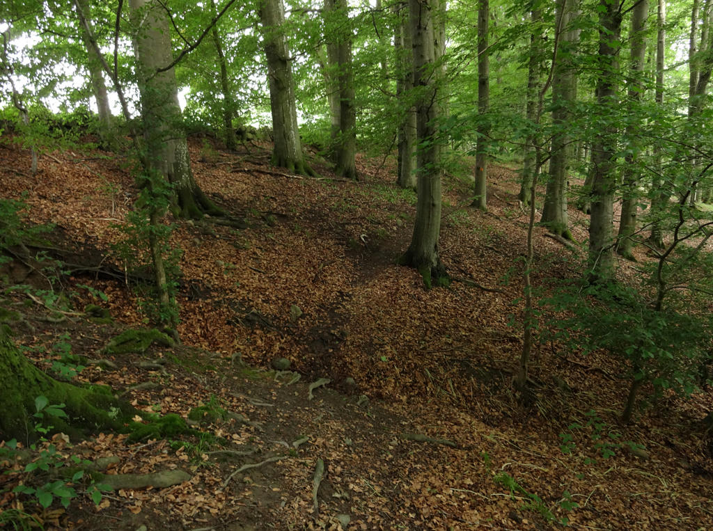
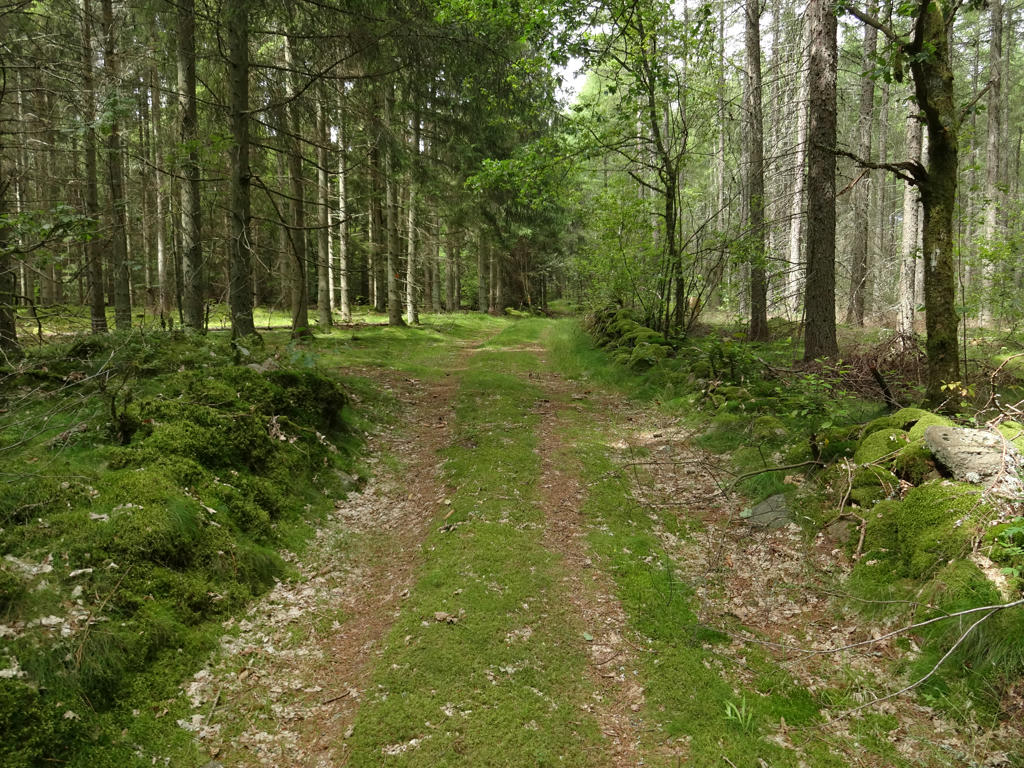
This dark forest near Aggarp was certainly one of my favorite parts of the walk. The cloudy weather certainly added to the atmosphere. Sharpened the photo slightly using unsharp mask.
28.
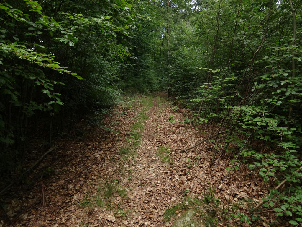
Sharpened the photo slightly using unsharp mask.
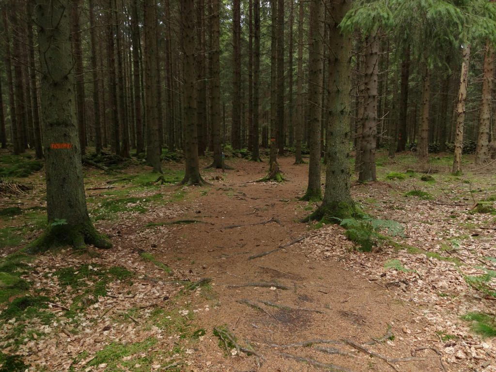
29.
Sharpened the photo slightly using unsharp mask.
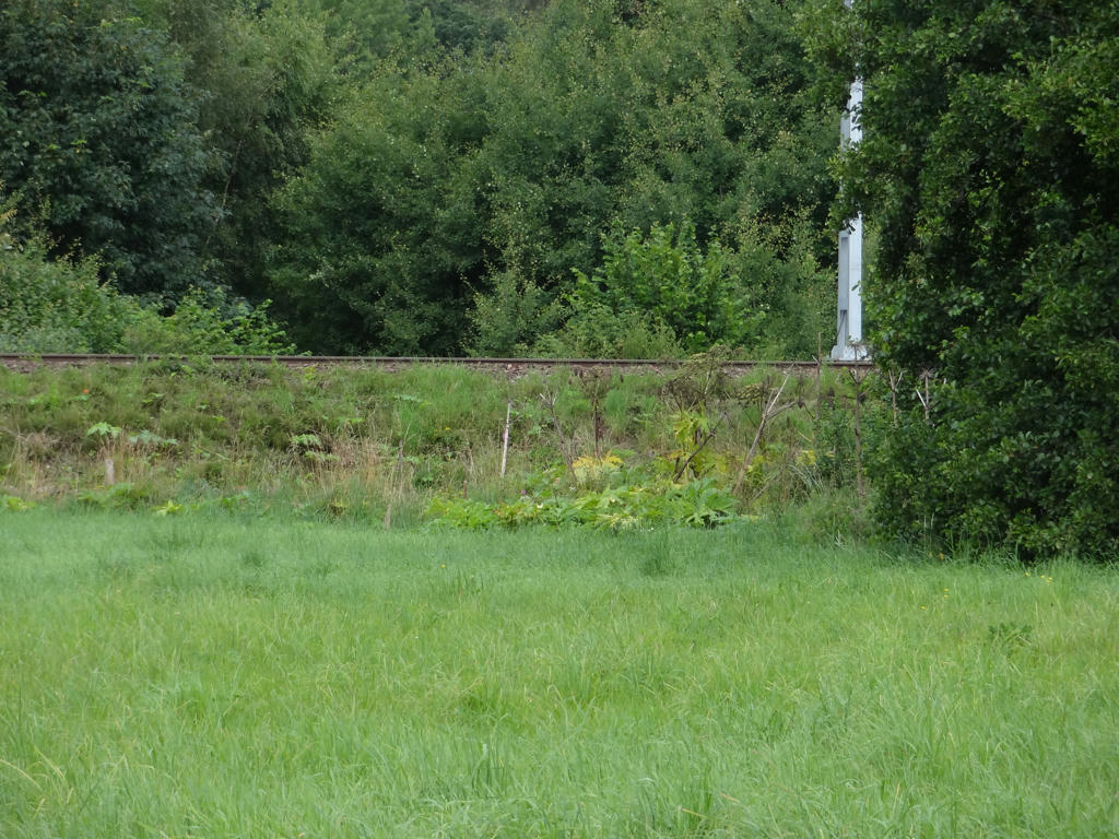
30.
31.
32.
Hörlingeån can be seen in the background. Sharpened the photo slightly using unsharp mask.
33.
Sharpened the photo slightly using unsharp mask.
34.
35.
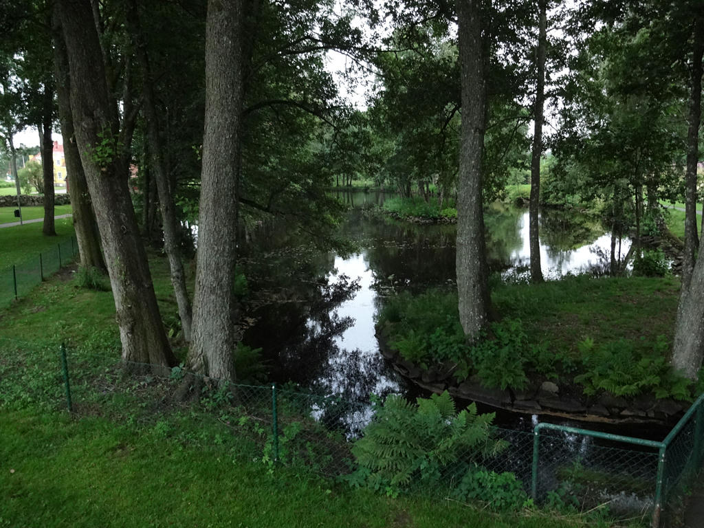
A pond in Bjärnum. Sharpened the photo slightly using unsharp mask.