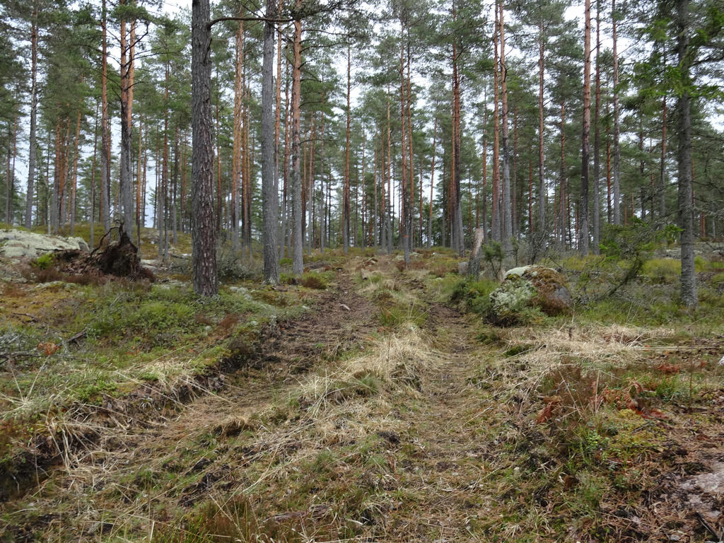
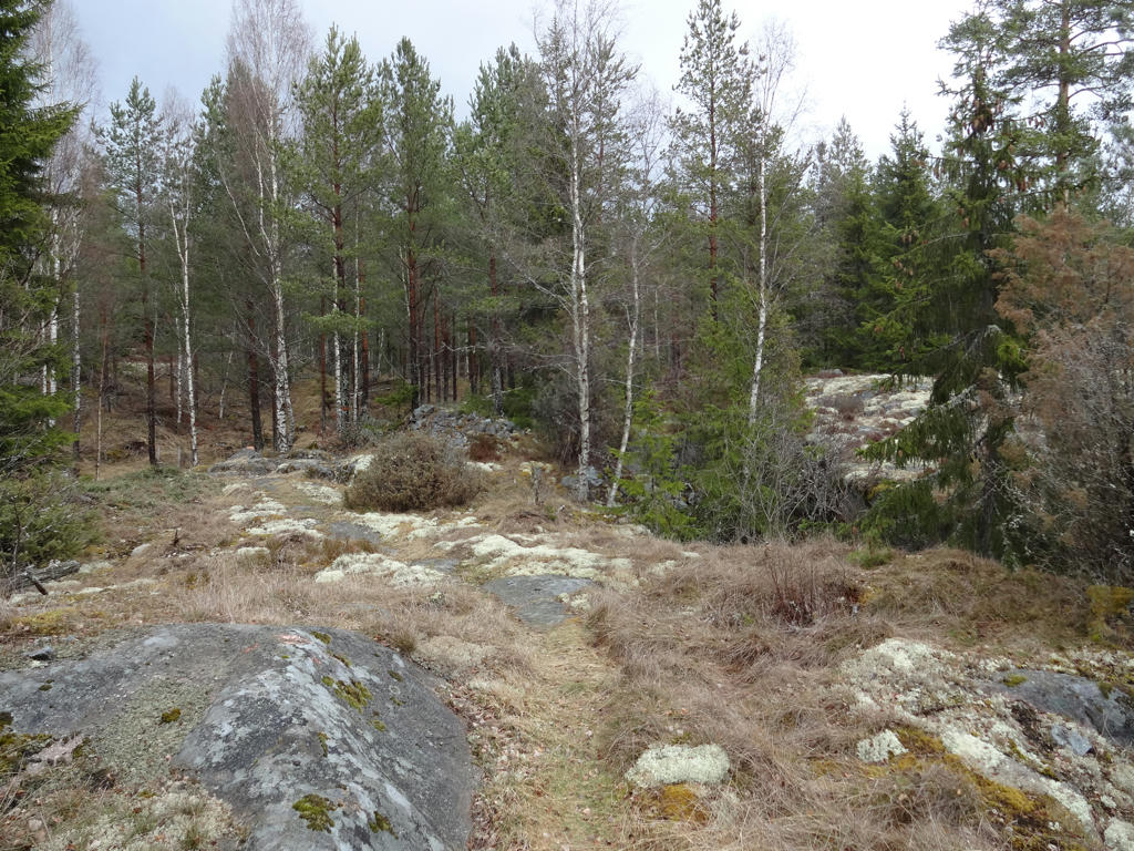
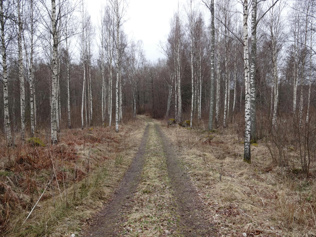
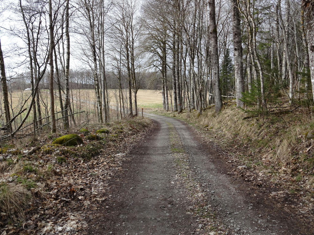
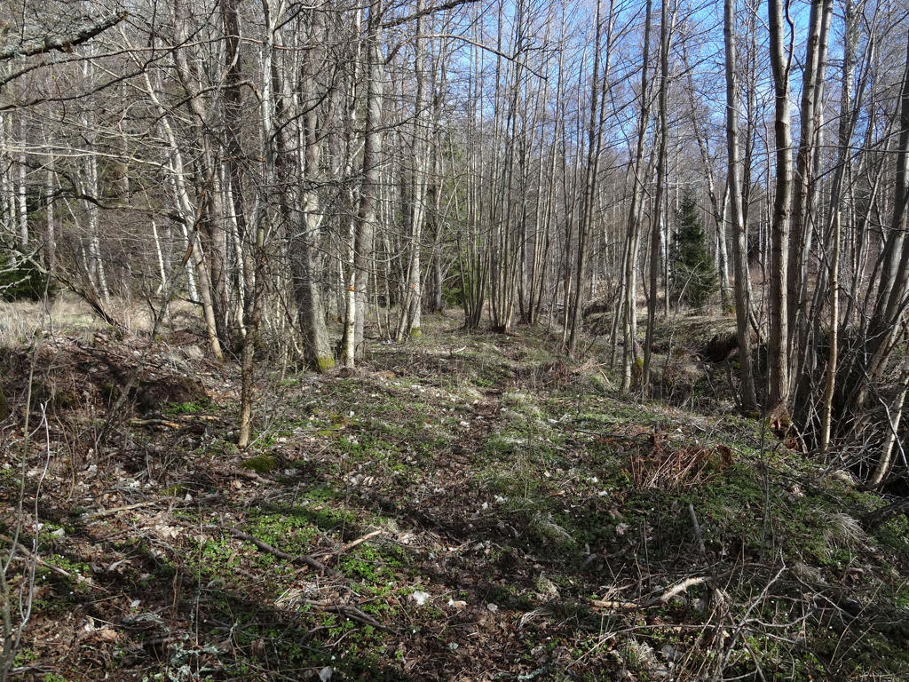
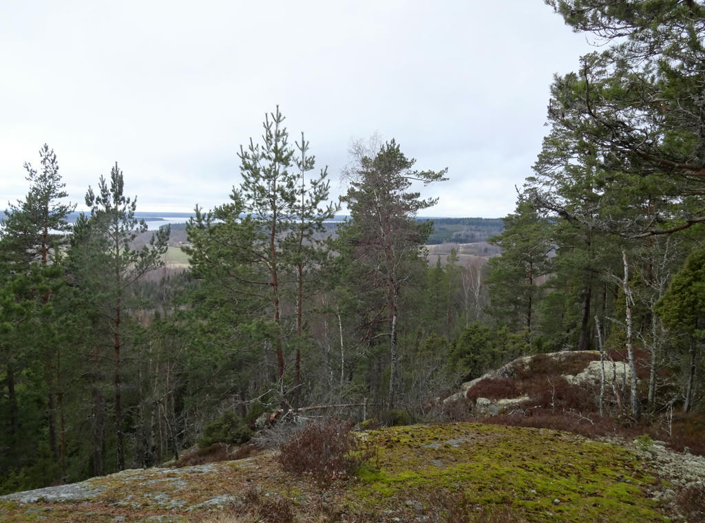
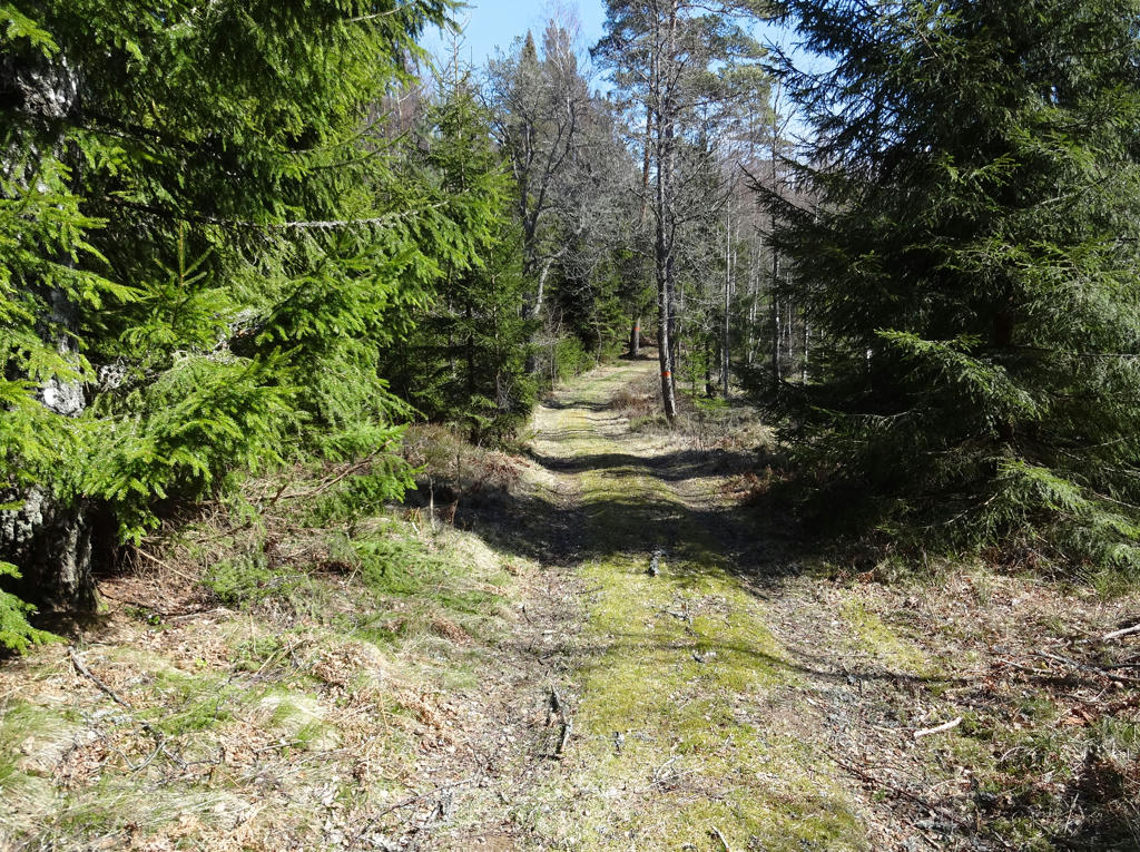
In general this was a quite easy walk since most of it goes on gravel roads (the last 10.3km only on asphalt) and the terrain is quite flat for the most part. The walk went mostly through coniferous forests with instances of other trees such as birches. There were also some places with fine sand forests (moskog/tallmo). Other than the first 4.2km until Mullsjön (which I've already walked once during Västra Vätterleden Walk #2 between Hjo and Baståsen) there is not much interesting happening since the walk goes through mostly desolate regions (between Mullsjön and Mohemmet) and there aren't even any lakes (with the exception of Mullsjön) on the path. It was thus probably the least interesting Västra Vätterleden walk (not necessarily bad, just not as interesting as the others). The temperature was pretty low once again (a few degrees above zero) and in fact it started snowing a bit once I had almost reached Tibro. Either way, there are still plenty of photos to choose from and hopefully the selection below will show some of the more interesting parts. Enjoy!
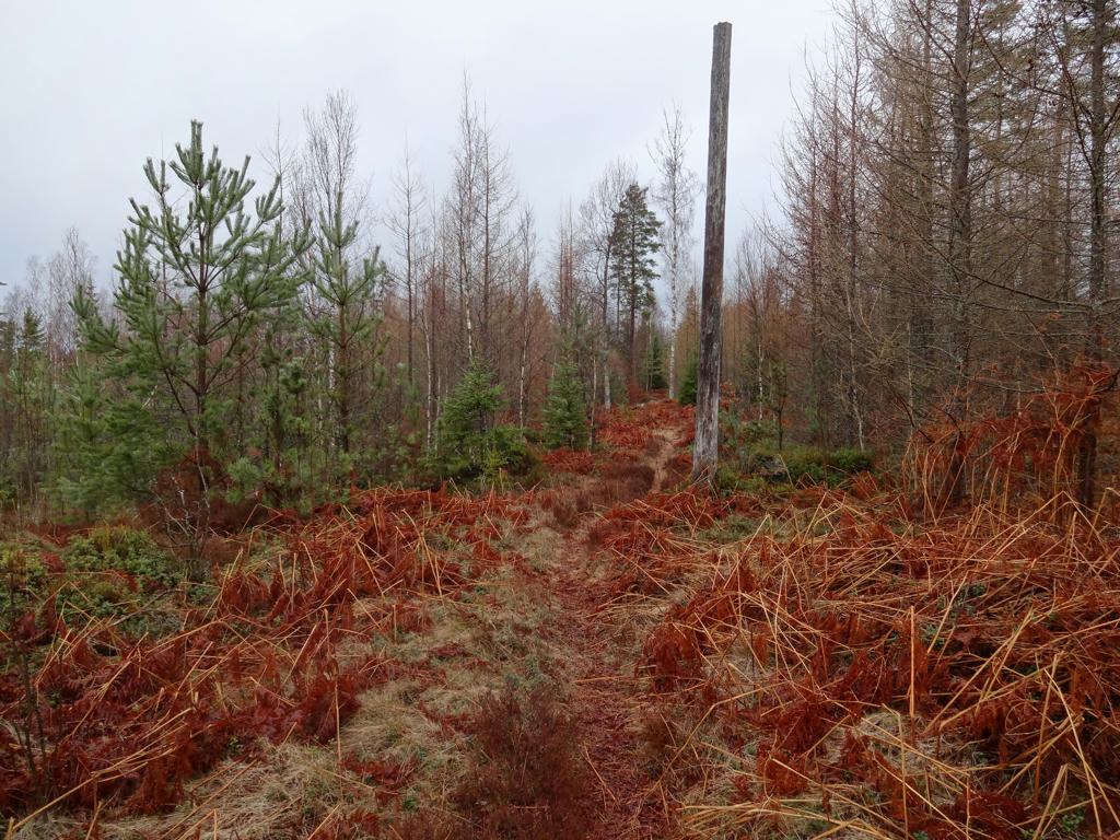
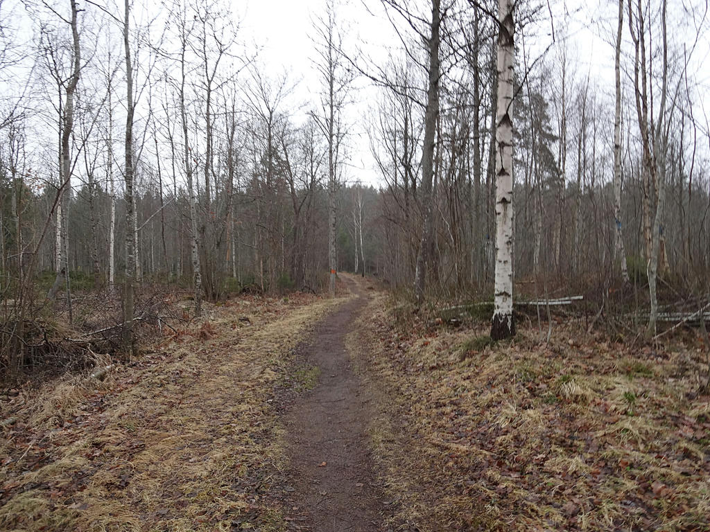
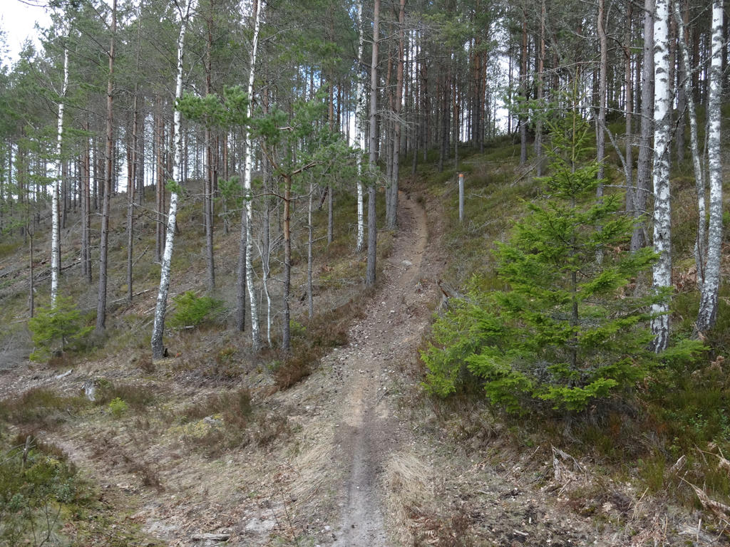
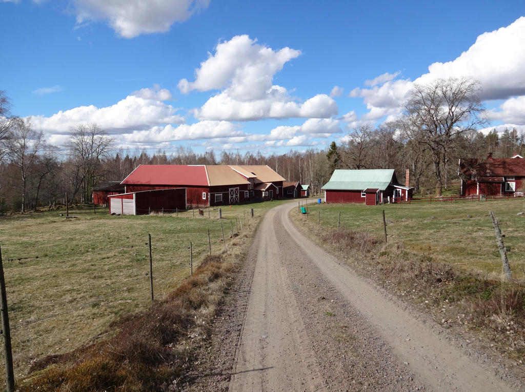
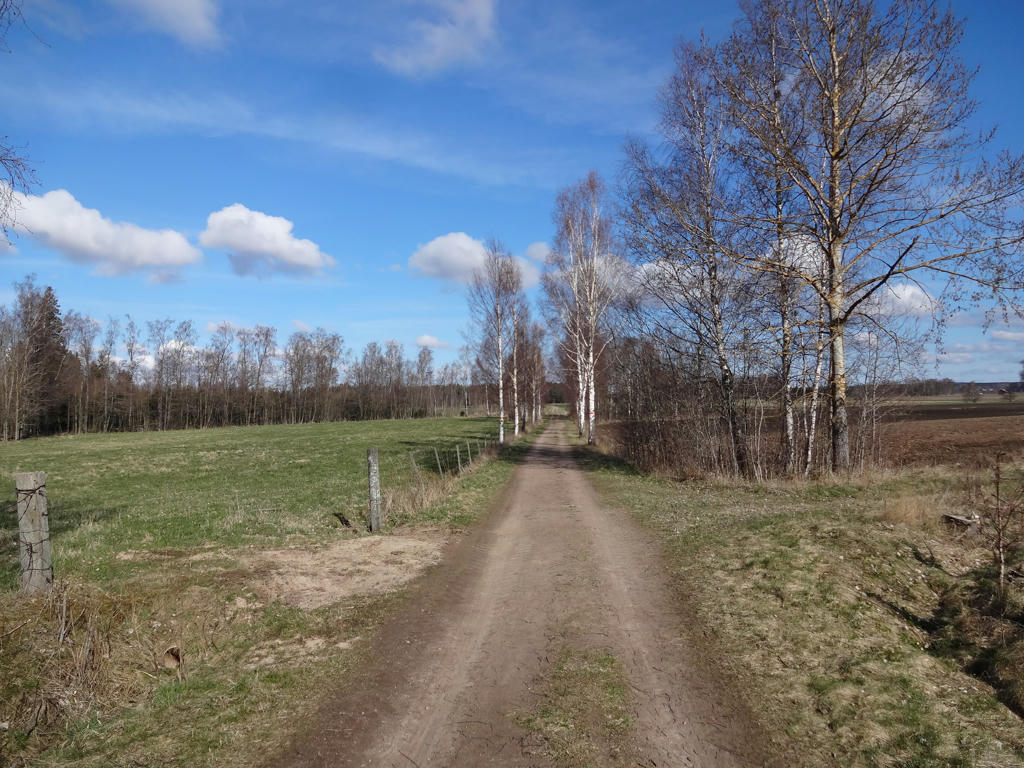
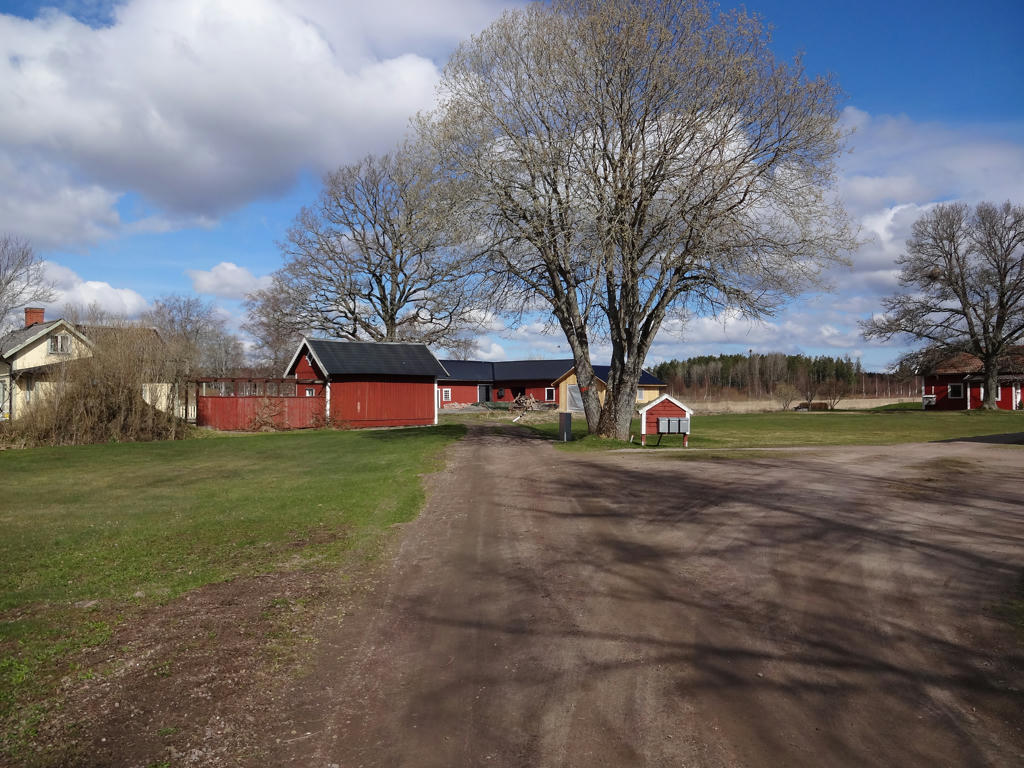
1.
Certainly much greener than during Västra Vätterleden Walk #2 between Hjo and Baståsen. Rotated the photo slightly and cropped it.
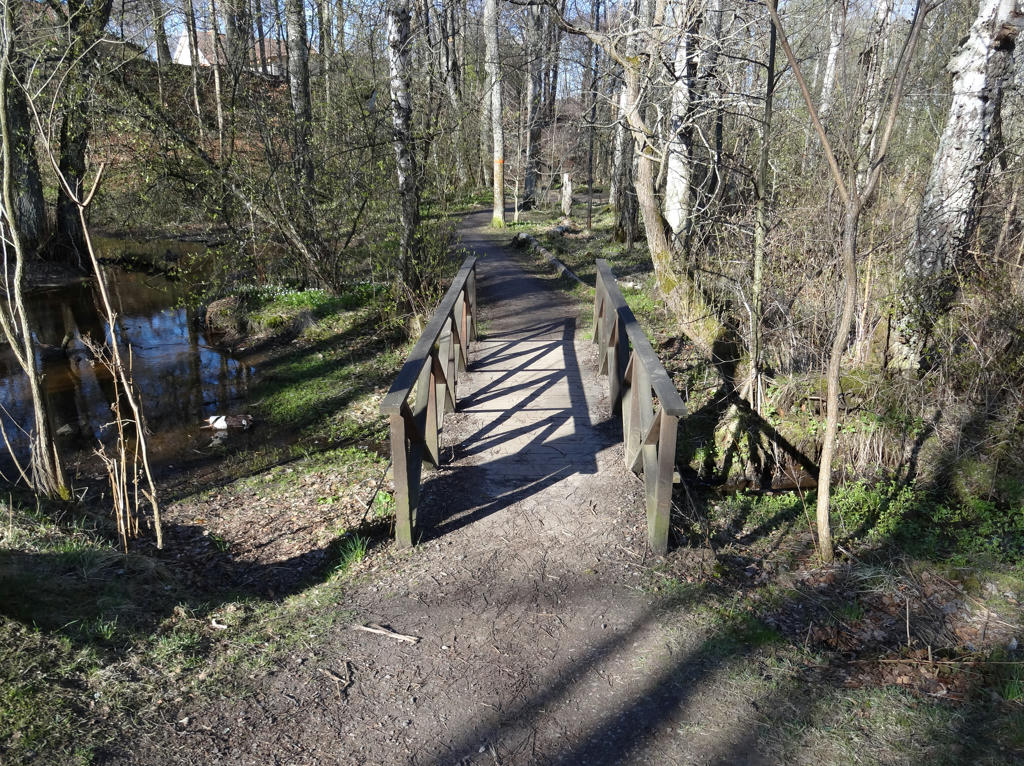
2.
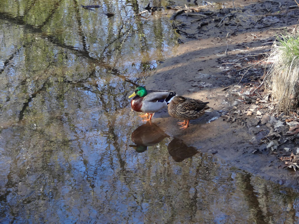
Mallards
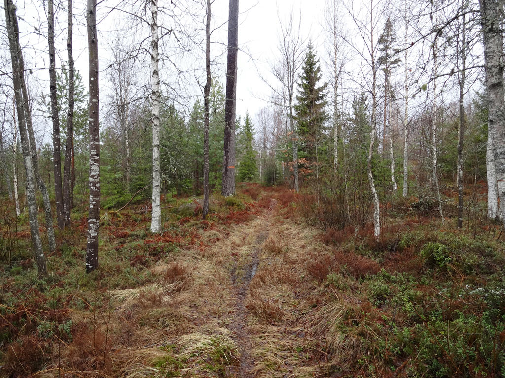
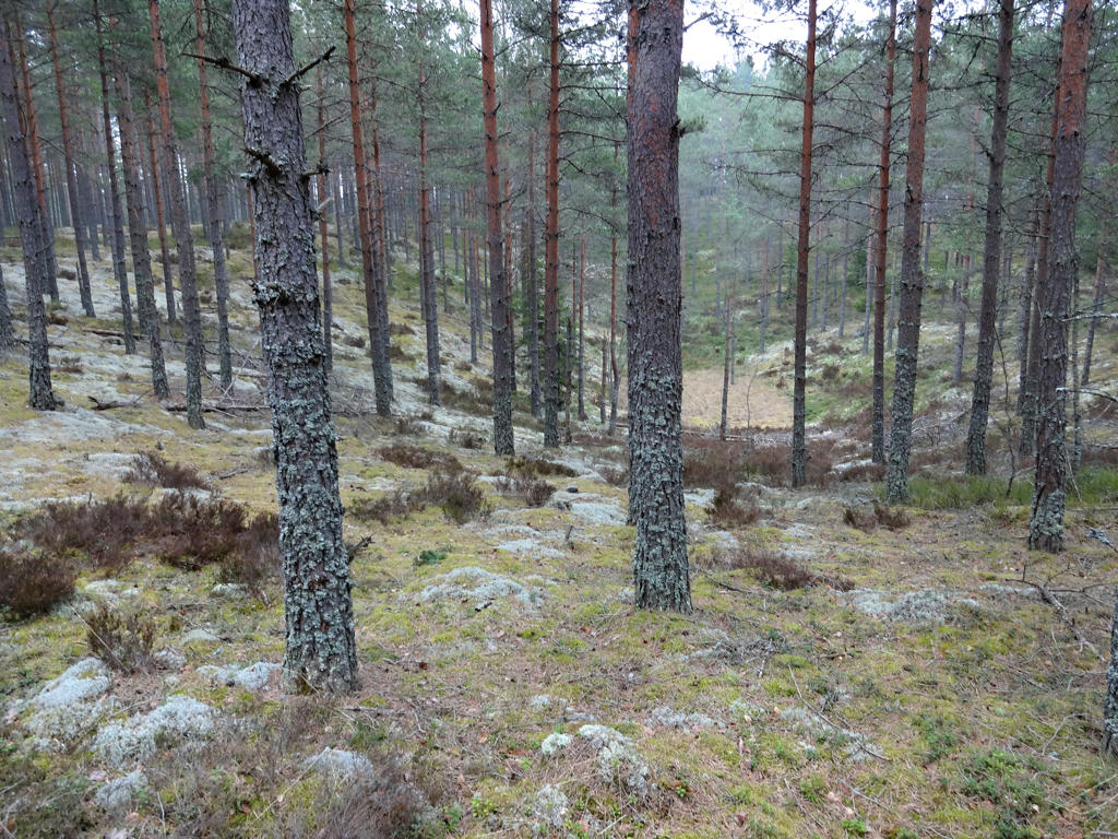
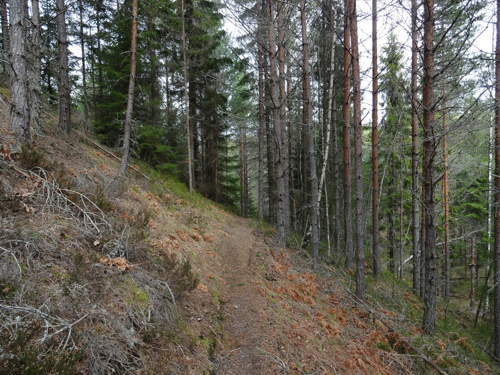
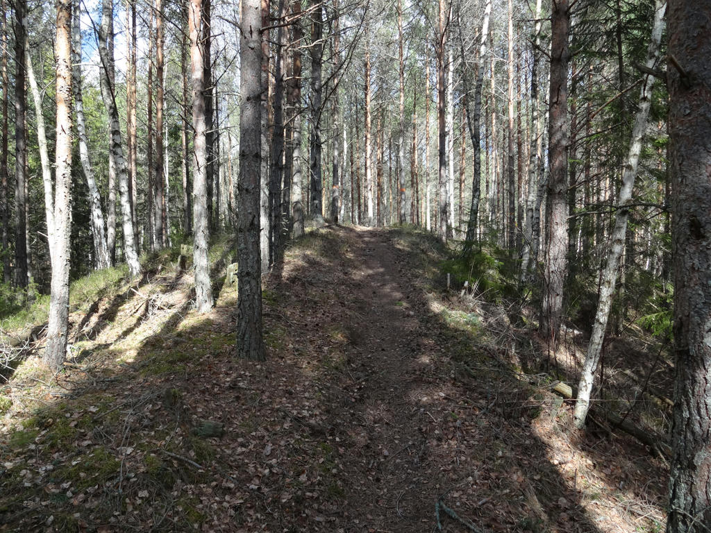
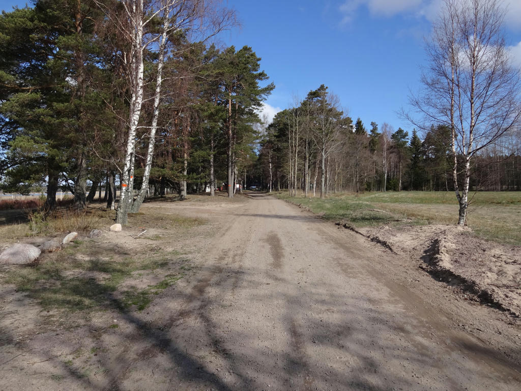
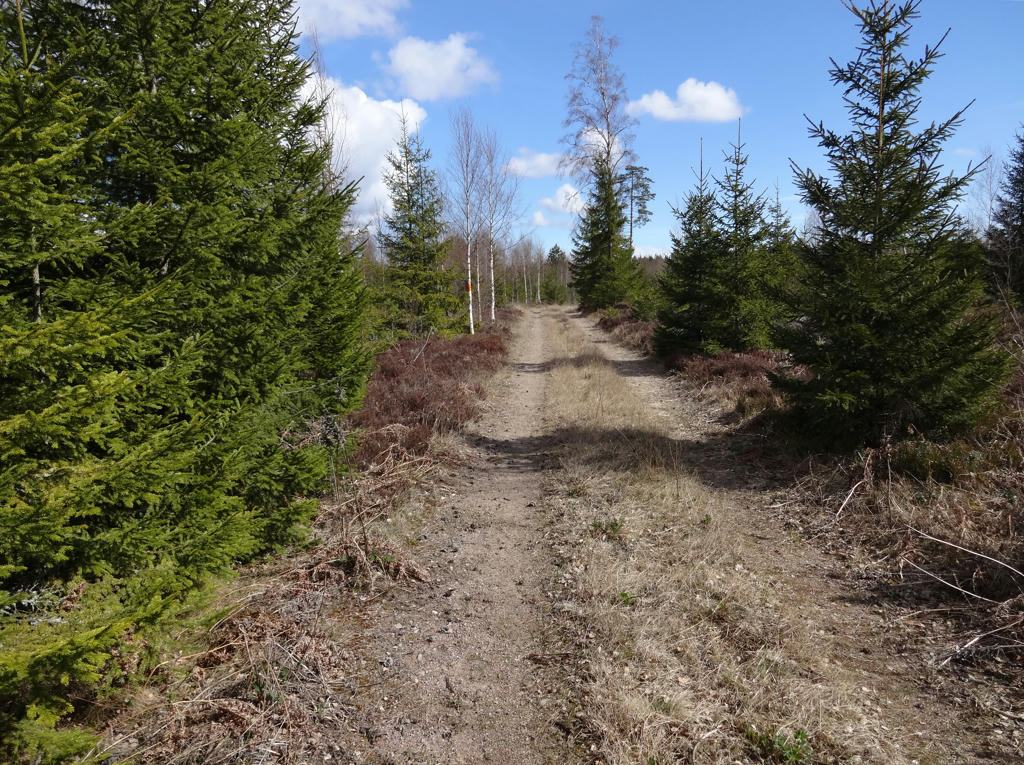
3.
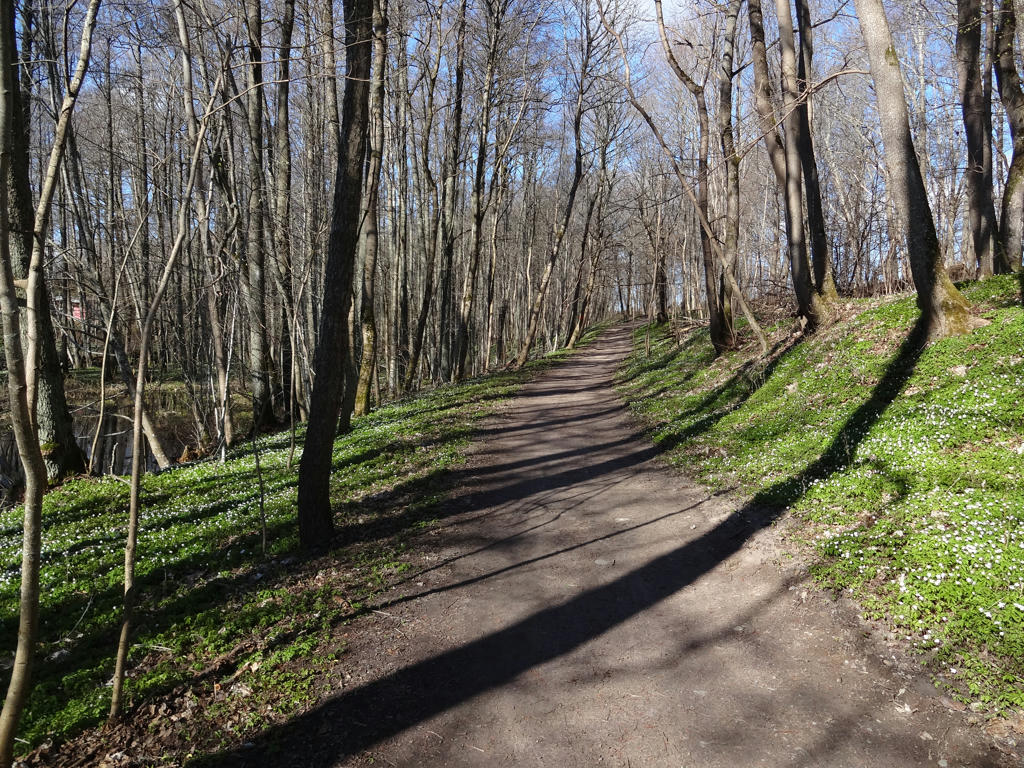
4.
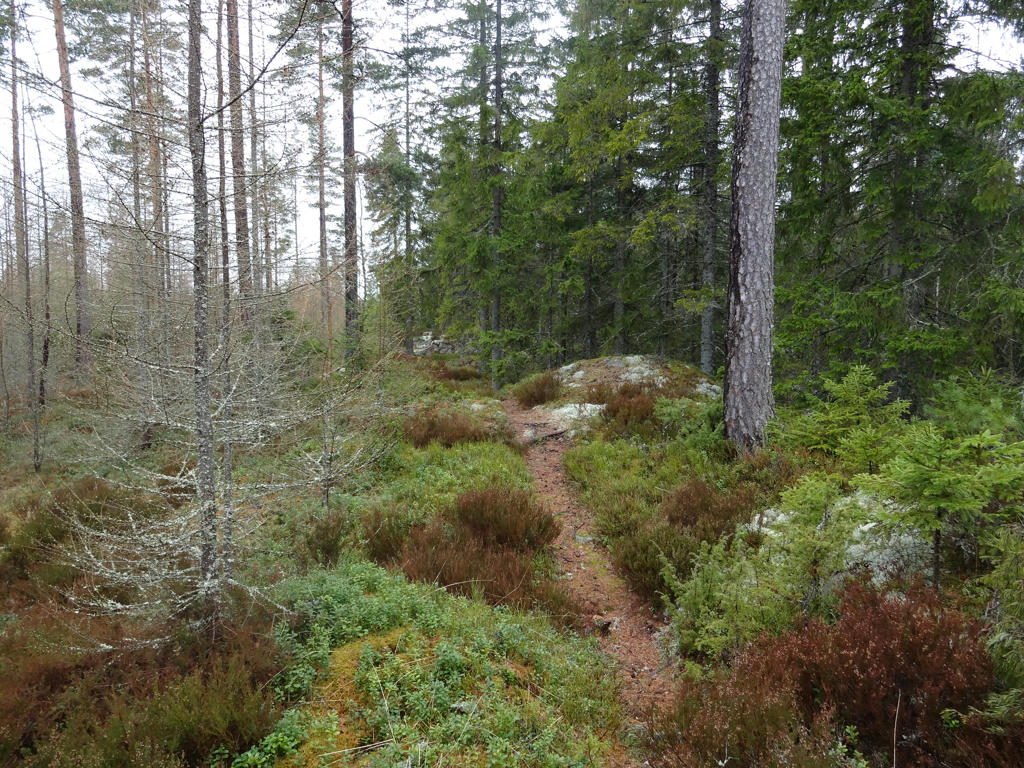
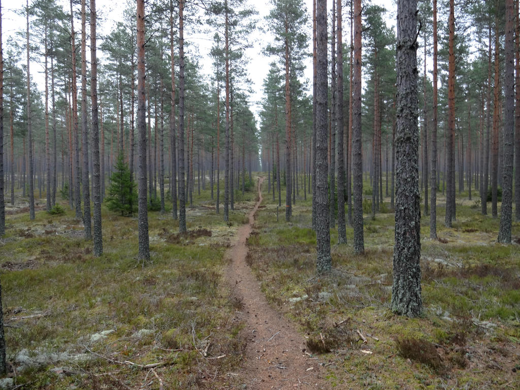
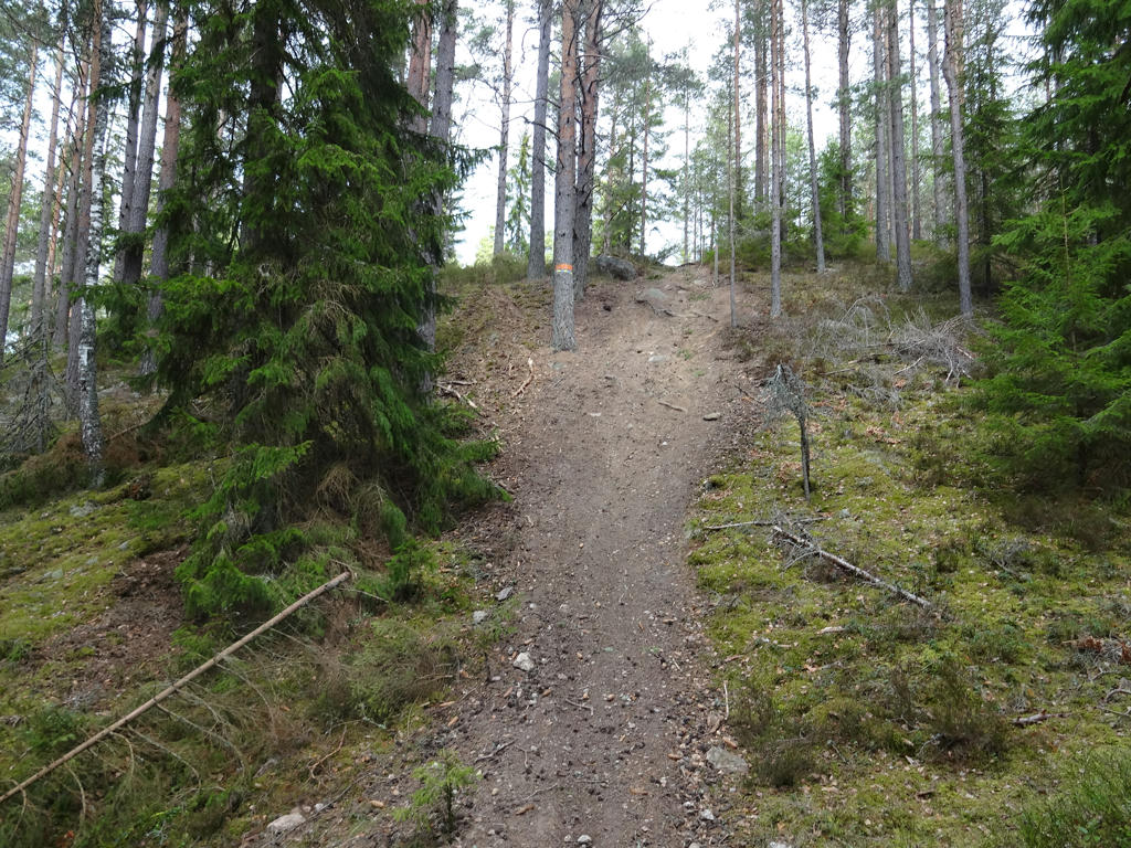
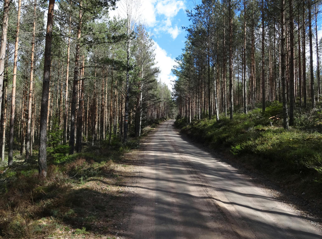
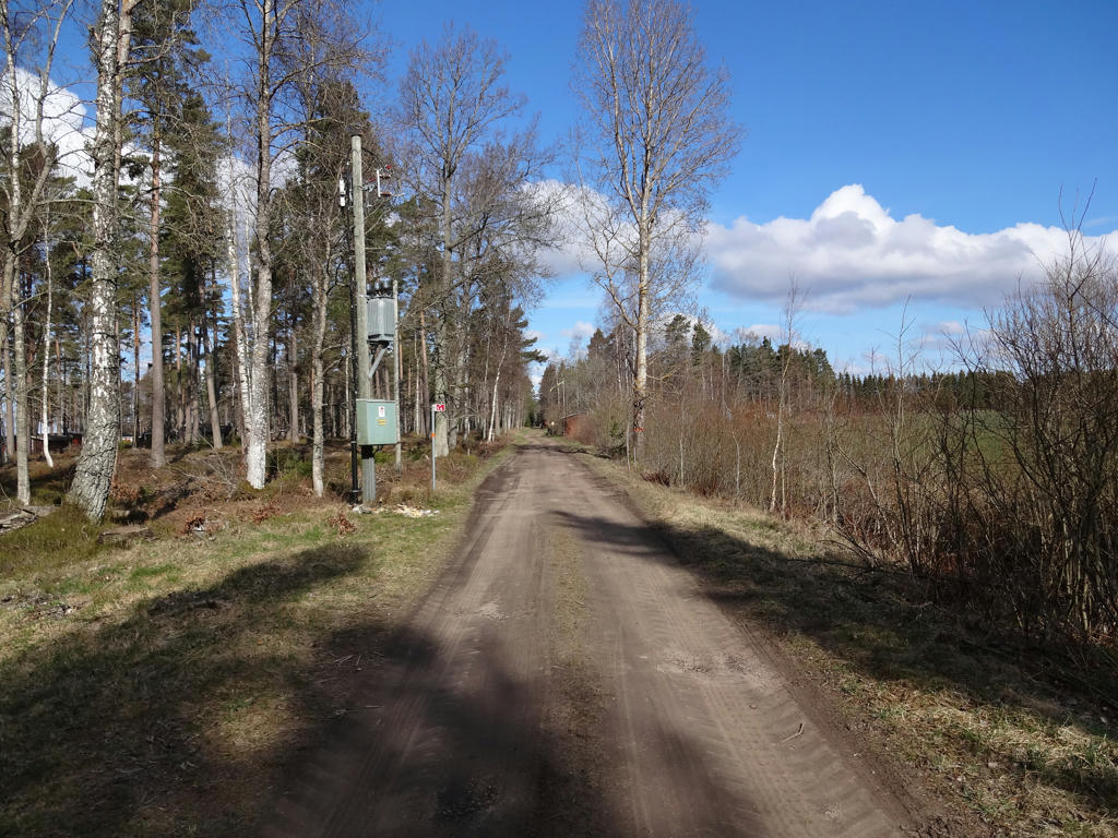
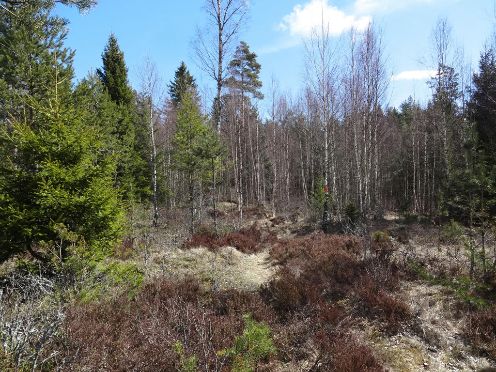
5.
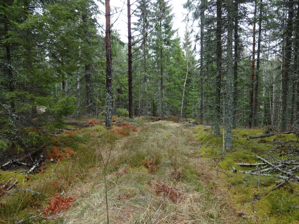
6.
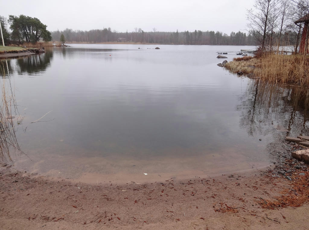
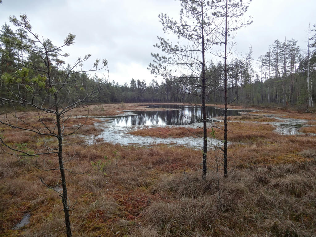
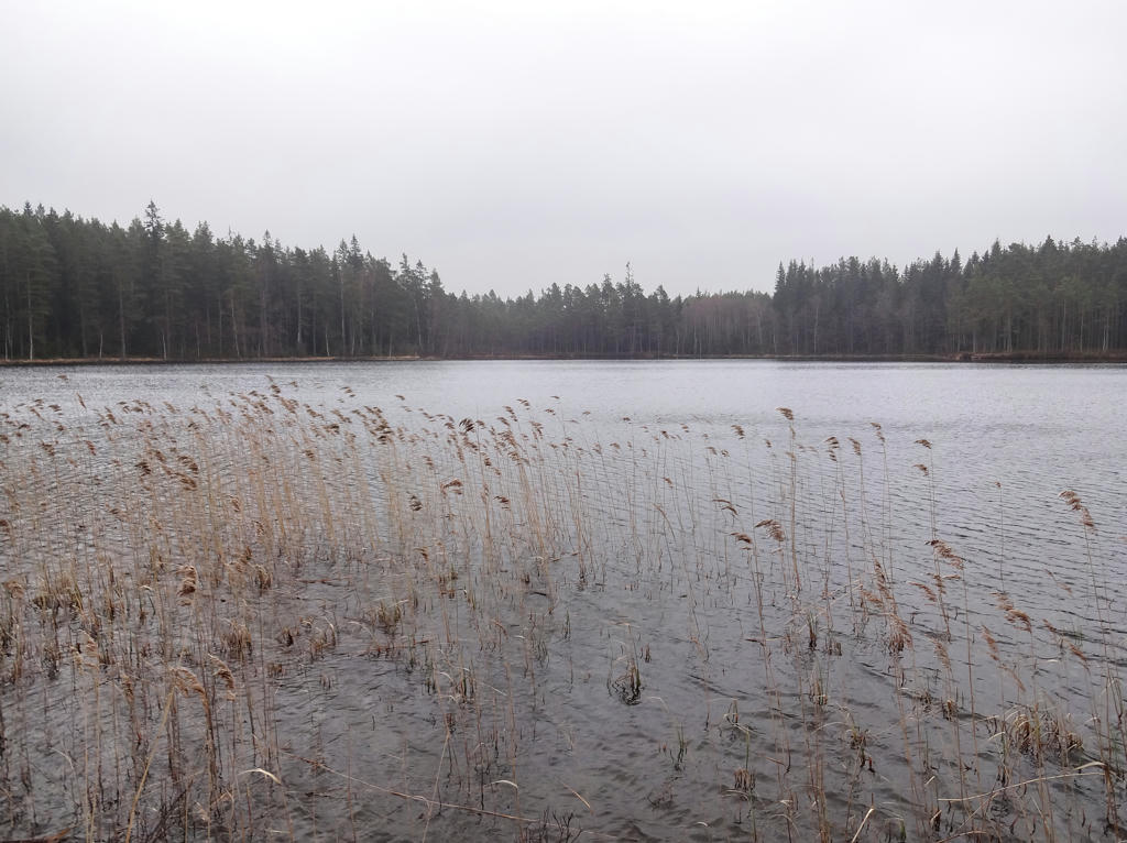
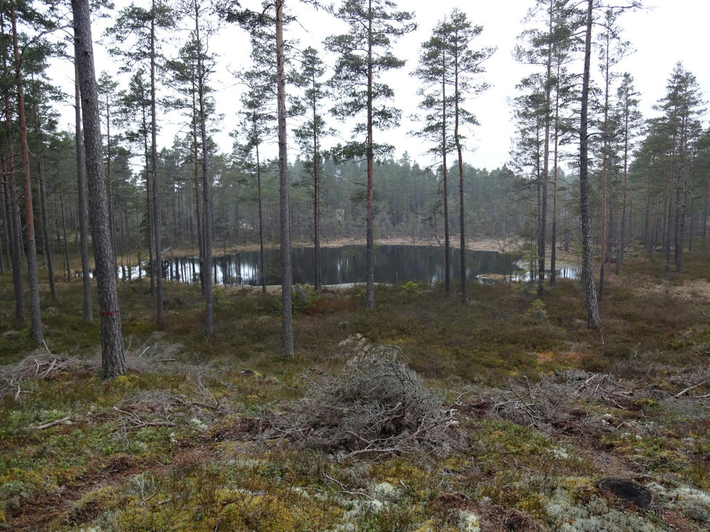
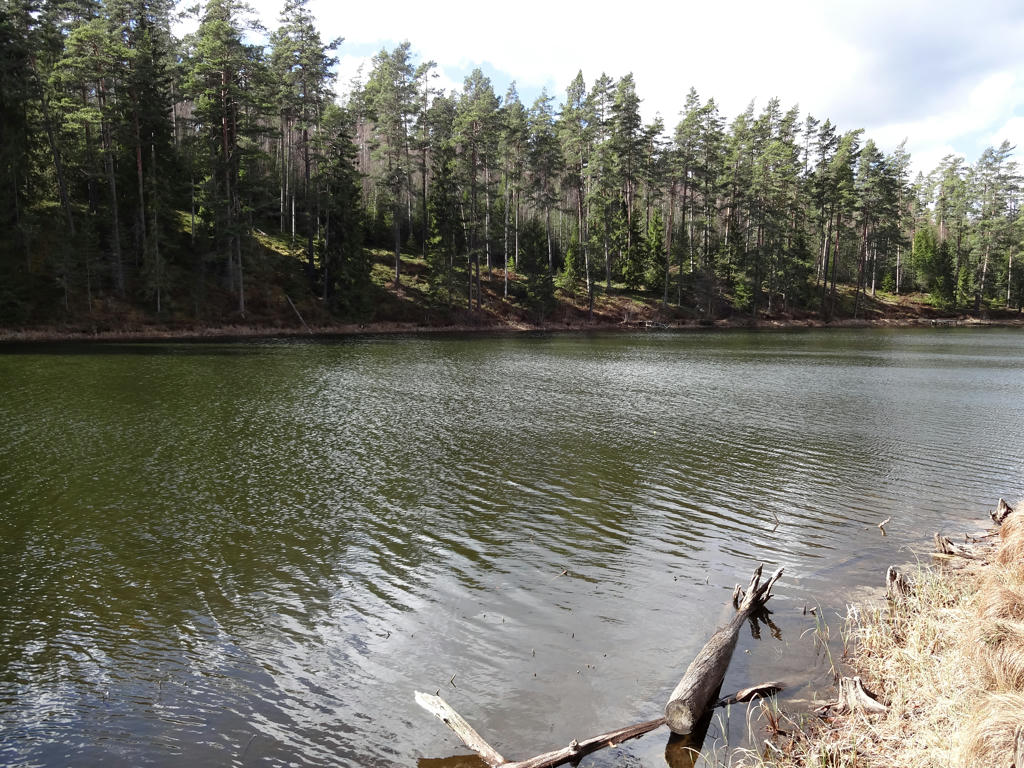
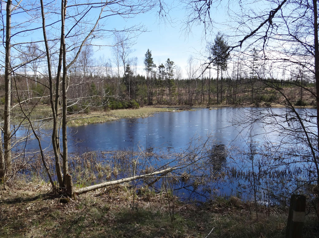
7.
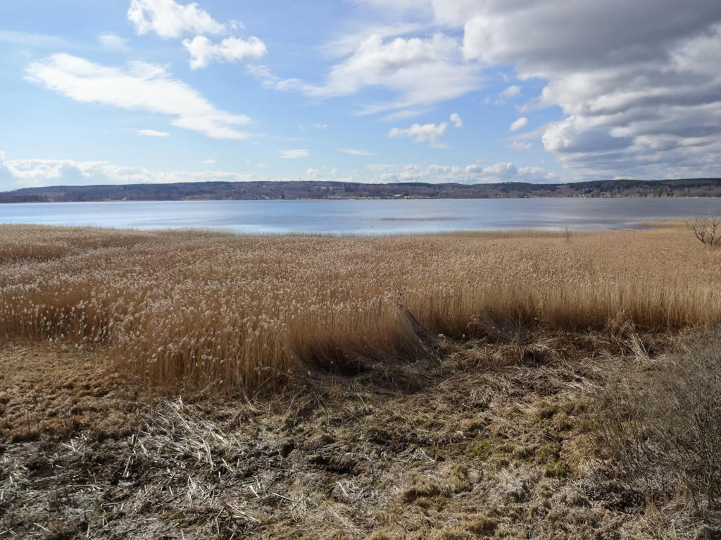
Mullsjön. Used the hue restorer plug-in to get rid of the cyan-ish sky color. Also brightened the non-sky parts slightly using the levels tool. Finally I rotated the photo slightly and cropped it.
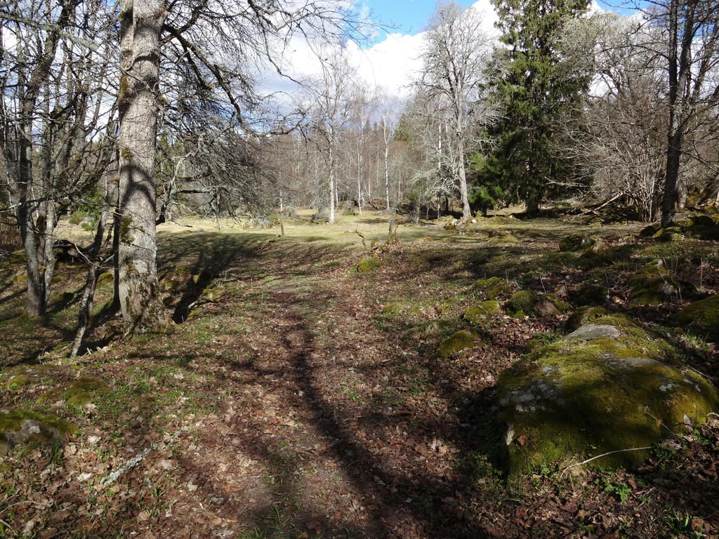
8.
Mullsjödal
9.
Rotated the photo slightly and cropped it.
10.
Used the hue restorer plug-in to get rid of the cyan-ish sky color. Also brightened the non-sky parts slightly using the levels tool.
11.
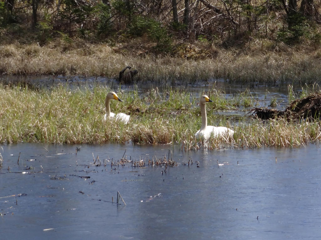
Whooper swans. Rotated the photo slightly and cropped it.
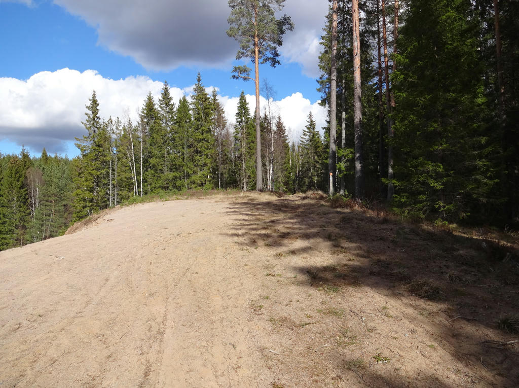
12.
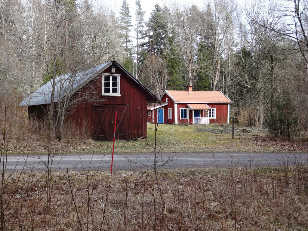
Skarpås
In the 1800s a saw dam was built here. The water reservoir and the flow in the stream turned out to be insufficient to make the business profitable. Next to the dam there was dwelling house built around the 1950s. It was burned down in 1962 in an insurance scam.
Used the hue restorer plug-in to reduce the cyan-ish sky color. Rotated the photo slightly and cropped it.
13.
The farm Lofallet was inhabited until the 1930s. At the remains of the old farm there is a stream and older deciduous trees, which give an oasis character to the area. Grazing ox were used to keep the landscape open at first but later forestry took over.
Darkened the photo slightly using the levels tool. Also rotated the photo slightly and cropped it.
Darkened the photo slightly using the levels tool. Also rotated the photo slightly and cropped it.
14.
15.
16.
Bergamossen
The simplest dwelling in the 1800s was the den. Johannes Jonsson lived here with his wife and four kids around 1838. Anders Petter, who lived in the den 1860-1891, made a living through daywork now and then. He lived on what nature gave him, for instance potatoes and cooked squirrel.
The simplest dwelling in the 1800s was the den. Johannes Jonsson lived here with his wife and four kids around 1838. Anders Petter, who lived in the den 1860-1891, made a living through daywork now and then. He lived on what nature gave him, for instance potatoes and cooked squirrel.
17.
Used the hue restorer plug-in to get rid of the cyan-ish sky color. Also rotated the photo slightly and cropped it.
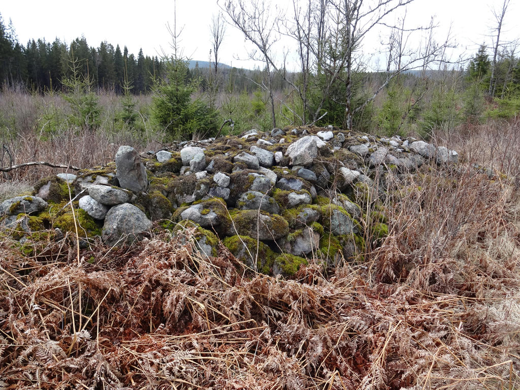
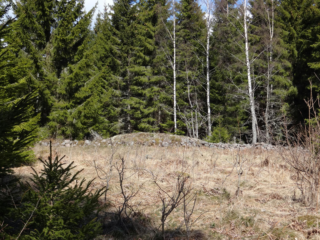
18.
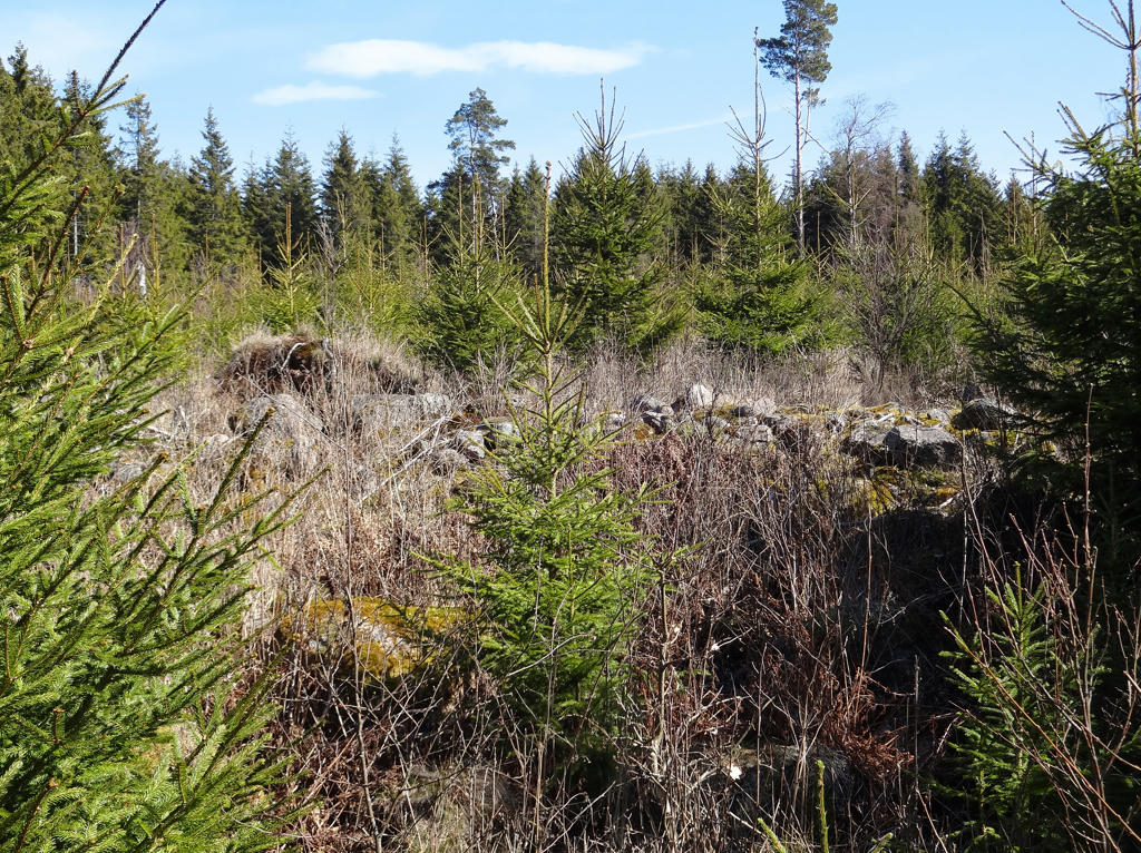
The desolated Bisshult farm was first mentioned in the real estate register of 1611. Despite the rocky terrain the land gave rich harvests. One notices the presence of stones when observing the unusually well-built and long stone fences which go across the pine-clad landscape (see the next photo). The farm was abandoned in the 1950s but the signs of settlement are still clearly visible.
Removed the cyan-ish sky color using the hue restorer plug-in. Then I rotated the photo slightly and cropped it.
Removed the cyan-ish sky color using the hue restorer plug-in. Then I rotated the photo slightly and cropped it.
19.
Rotated the photo slightly and cropped it. Also used the hue restorer plug-in to reduce the cyan-ish sky color.
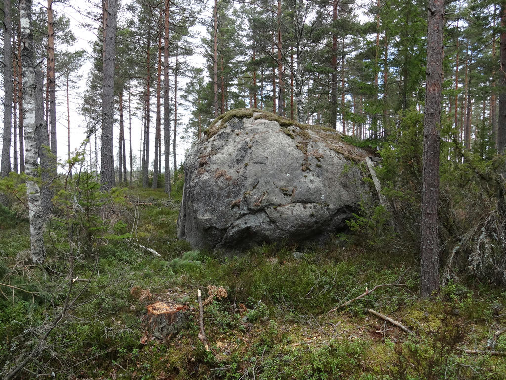
20.
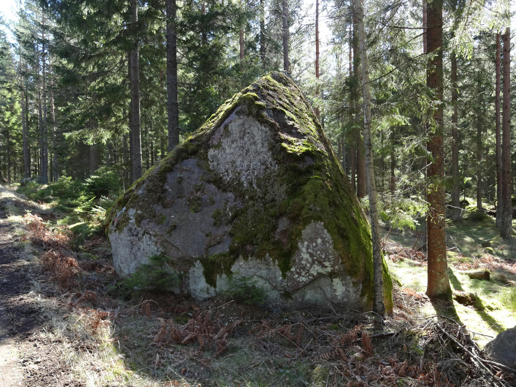
Getastenen (the goat stone) lies close to the road. This large glacial erratic got its' name because the goats would jump up on the stone.
21.
Used the hue restorer plug-in to get rid of the cyan-ish sky color.
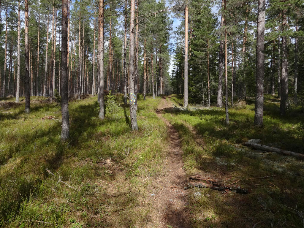
22.
23.
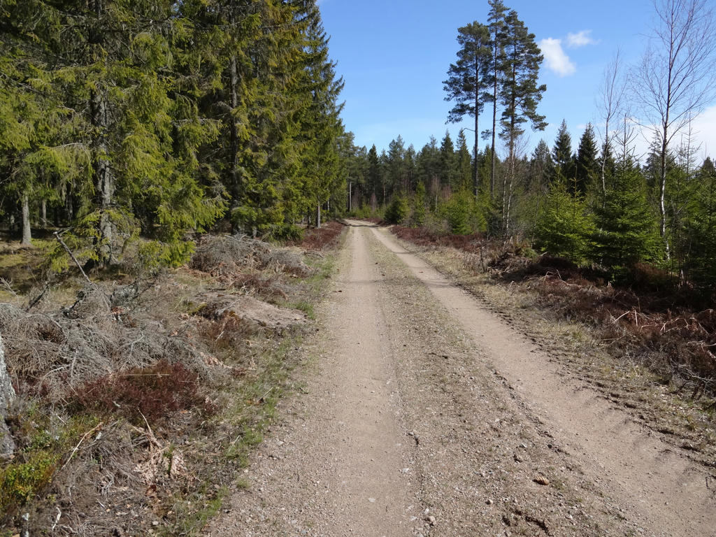
24.
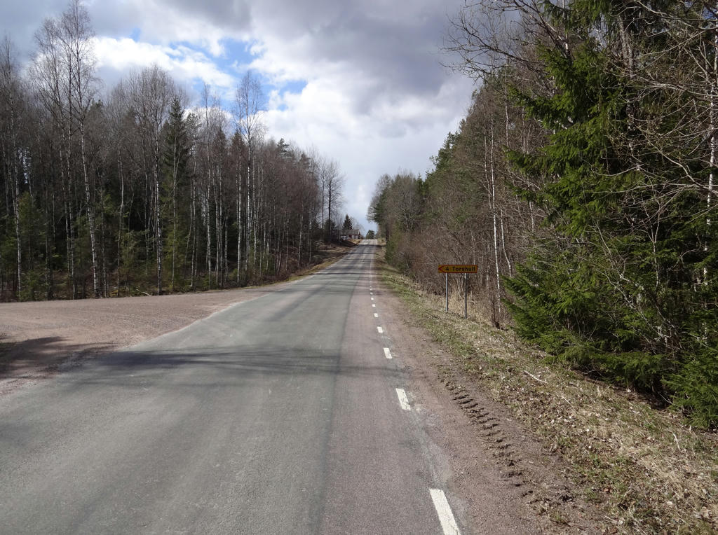
The road between Brevik and Tibro. Rotated the photo slightly and then cropped it.
25.
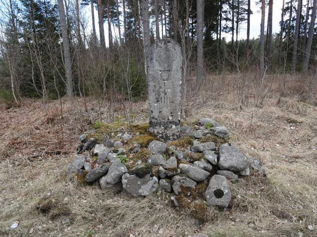
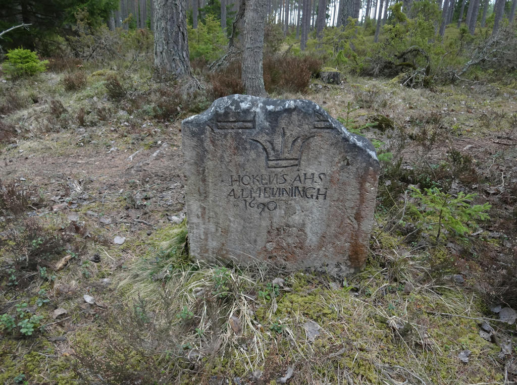
An old milestone. Rotated the photo slightly and cropped it.
26.
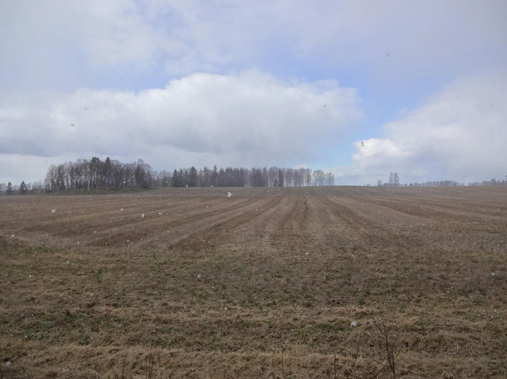
Rotated the photo slightly and cropped it. Also brightened the non-sky parts slightly using the levels tool.