I started off my walk in Bjärnum where I had ended Skåneleden Walk #3 between Hässleholm and Bjärnum. To get to Bjärnum I first I traveled by train from Malmö central station to Hässleholm. From there I switched to another train to get to Bjärnum. The total travel time to Bjärnum (including the travel from the hostel to Malmö central station) was 1h40mins The walk itself was 38km in total but the first 4.8km of the walk were required to get from Bjärnum to the Skåneleden trail in Hågnarp. The total duration for the walk was 10h31mins. This means that my average speed was approximately 3.61km/h. From the Åsljunga Landshövdingevägen bus stop (where I also had begun Skåneleden Walk #1 between Åsljunga and Koarp back in 2016) I traveled to Örkelljunga with bus line 521. From Örkelljunga I traveled to Hässleholm with bus line 511 and from Hässleholm I took the train back to Malmö central station. The total travel time from Åsljunga back to the hostel was 2h20mins.
Before I go into the specific details about the walk I want to mention something unfortunate that happened with my camera settings. Before my trip back to the hostel in Malmö I went through all the photos I had taken during my first trip and I noticed that many of the photos were either blurry or had an entirely white sky despite that it wasn't as cloudy as it would seem from the photos. As I've explained in the blog post for Bohusleden Walk #1 between Kåsjön and Angereds Kyrka, my camera has a great mode called "Superior Auto" which works very well in most cases, except that you can't control the white balance manually, which is maybe the most important setting to control because if it's automatically controlled it is often wrong (especially in forests (photos in forests look too blue when auto white balance is used)). This is especially noticeable in my early blog posts because I ended up with a lot of photos that looked too blue and didn't know how to correct that (well, I still don't really know, which I why I avoid getting into that situation). And so that forces me to use another camera mode called "Program Auto" which is nice because you can control the white balance manually. However, it doesn't have several of the good features that the Superior Auto mode has, for instance it doesn't have automatic noise reduction, automatic blur reduction and the possibility of taking HDR (High Dynamic Range) photos. Therefore, when using Program Auto there's a higher risk of getting noisy or blurry photos or photos with white sky (which seems to be caused by a large brightness range in an scene). So, in either case before my second trip to the hostel in Malmö I went through the instruction manual for the camera to try to get a better understanding of the settings. One of my main (incorrect) realizations was that I should probably manually change the ISO values rather than let it be set automatically. The problem was however that I didn't realize that a high ISO value would give such noisy photos as happened to be the case in this Skåneleden walk (and possibly others, I don't remember, I will need to go through the photos for the other remaining Skåneleden walks to see whether or not they were severely affected by noise due to a high ISO value). In fact, it took until Bohusleden Walk #4 between Angereds Kyrka and Aleklätten (i.e. 3 walks later) before I realized that high ISO values are really terrible and I should probably stick to automatic ISO for the most part. I know a method for removing ISO noise in GIMP but it's not ideal. The reason why high ISO values might be useful is that especially in dark environments (such as forests during cloudy days) a low ISO value has a higher chance of giving a blurry photo. ISO can thus be summarized as a trade-off between blur and noise. If only the Superior Auto mode in the camera had the option for specifying white balance many of these issues could be avoided... I checked the options for a couple of newer Sony cameras and they seem to have the same lack of that option for some reason! And changing the camera brand means having to learn another camera interface and probably do a lot of trial and error. Besides, although I considered buying a new camera, it's something I would rather want to avoid, especially considering how many spare batteries I have for my current camera.
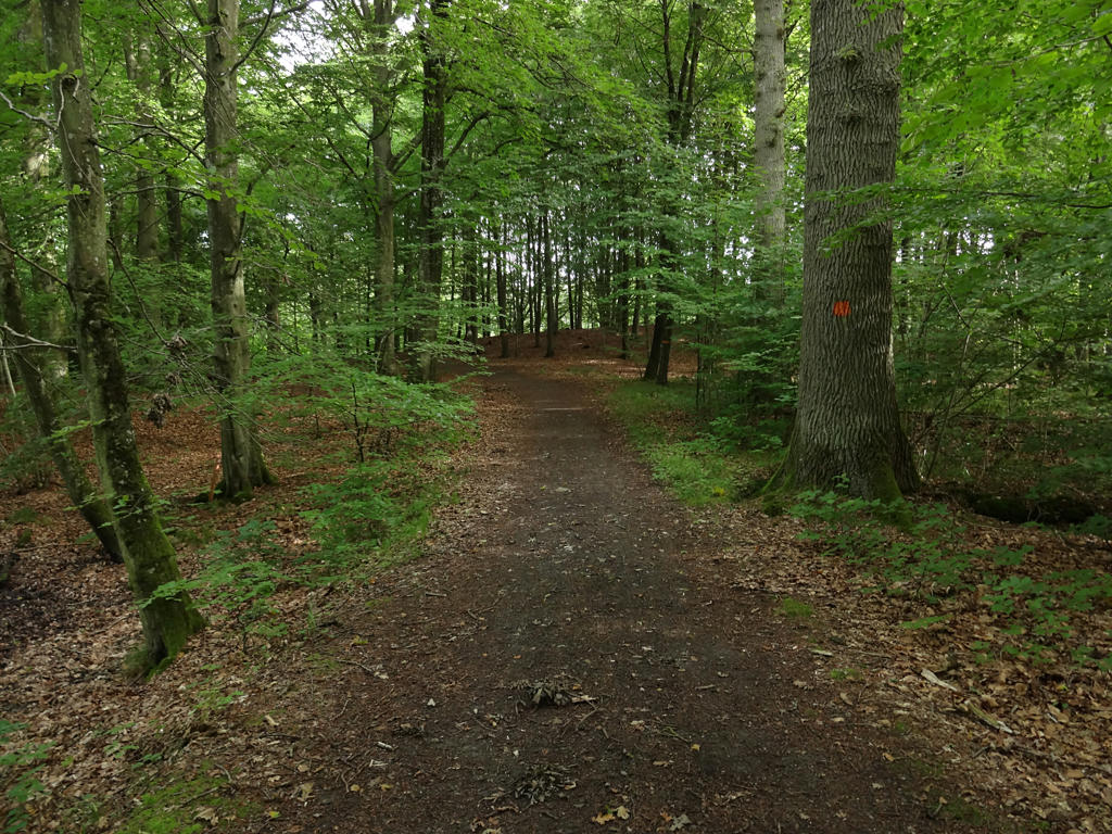
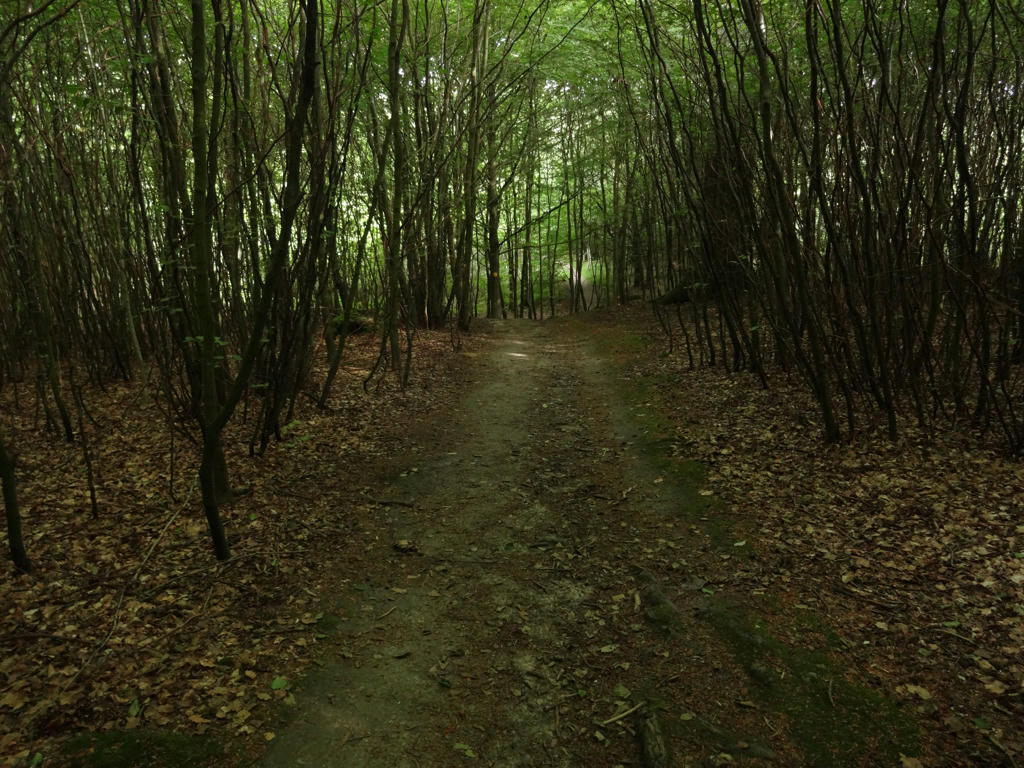
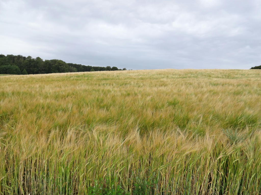
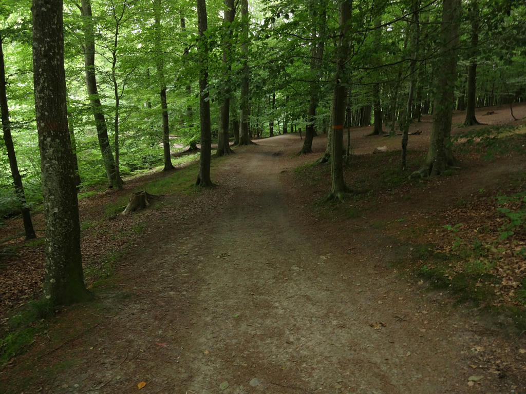
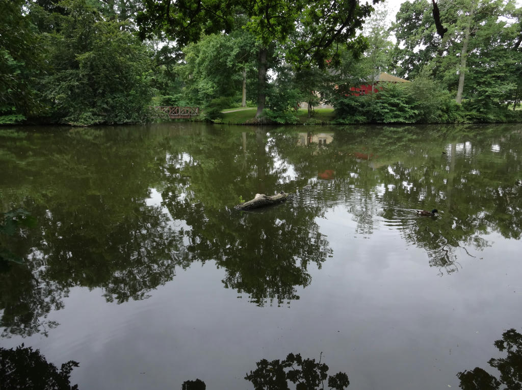
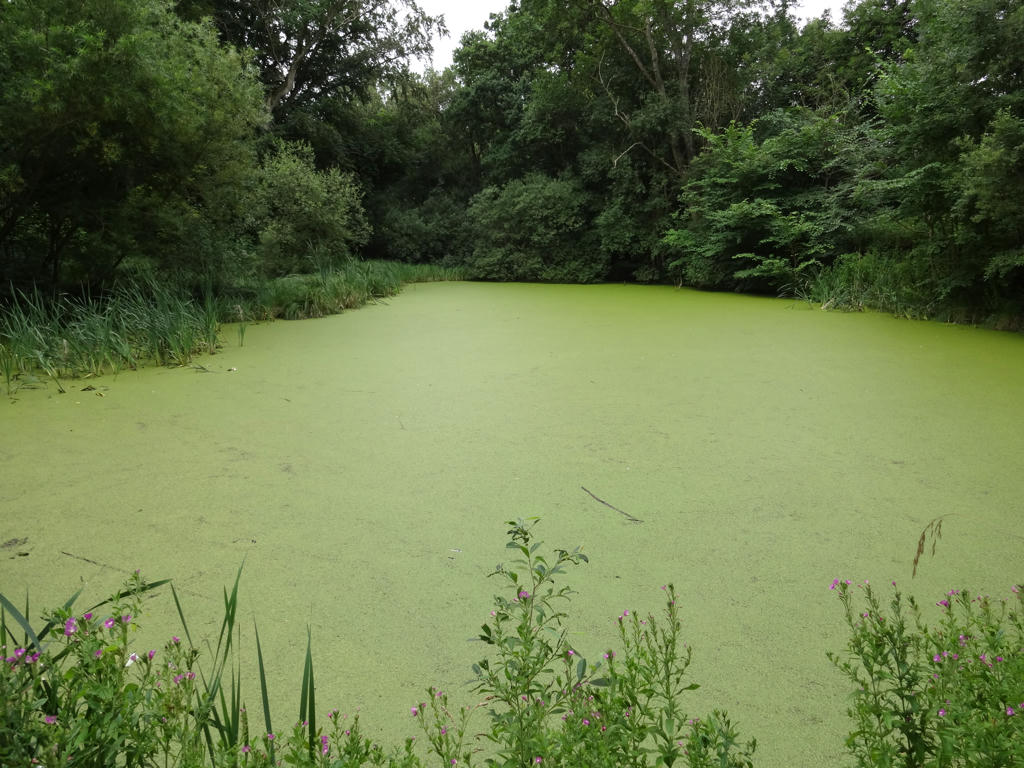
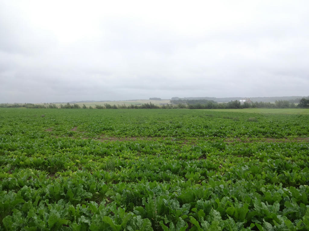
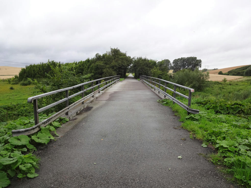
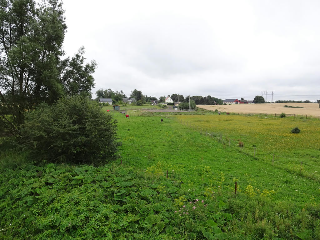
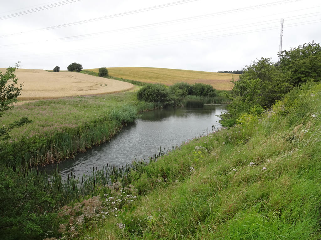
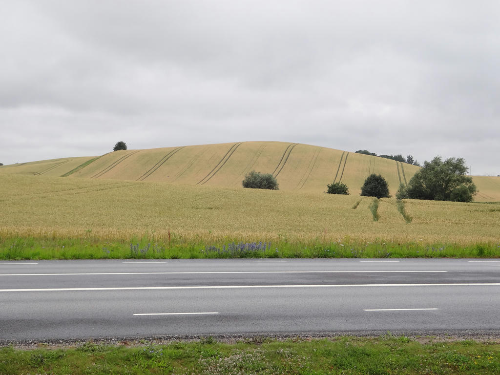
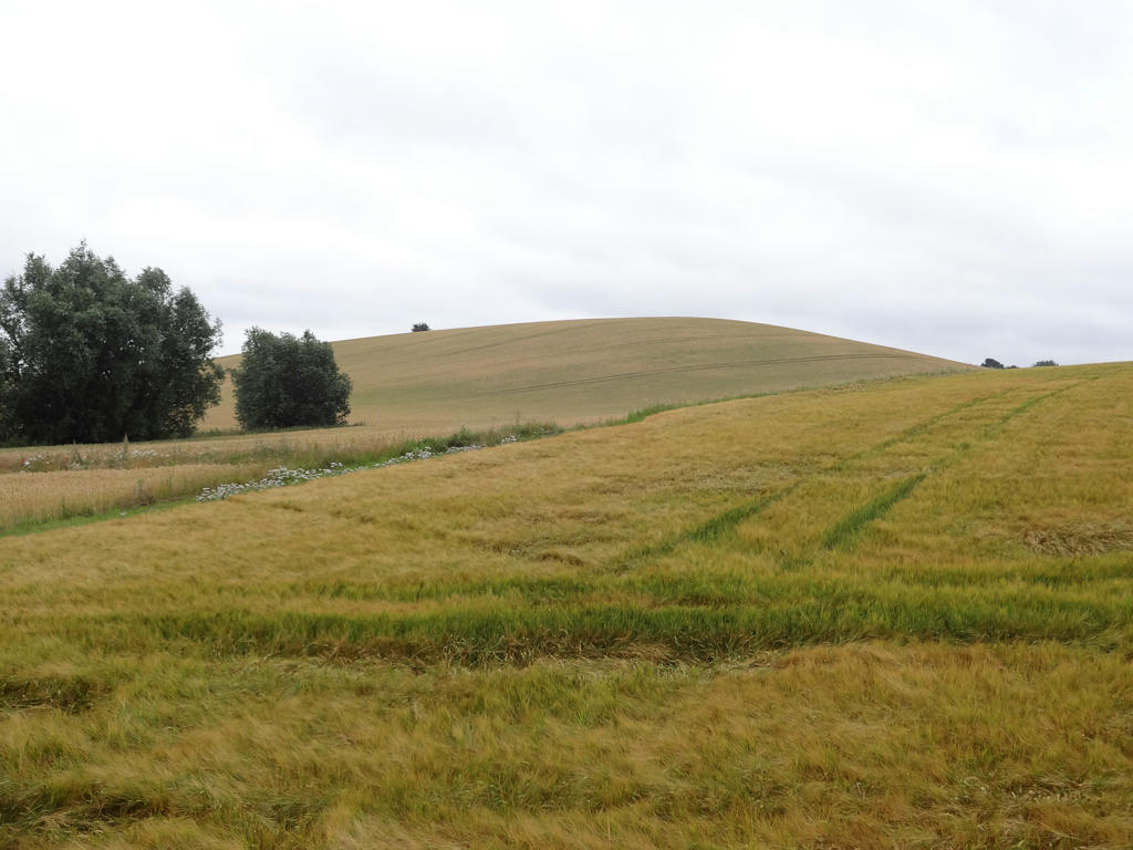
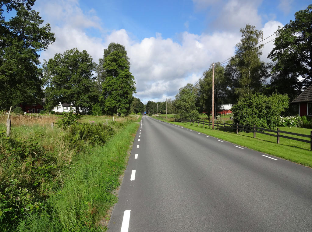
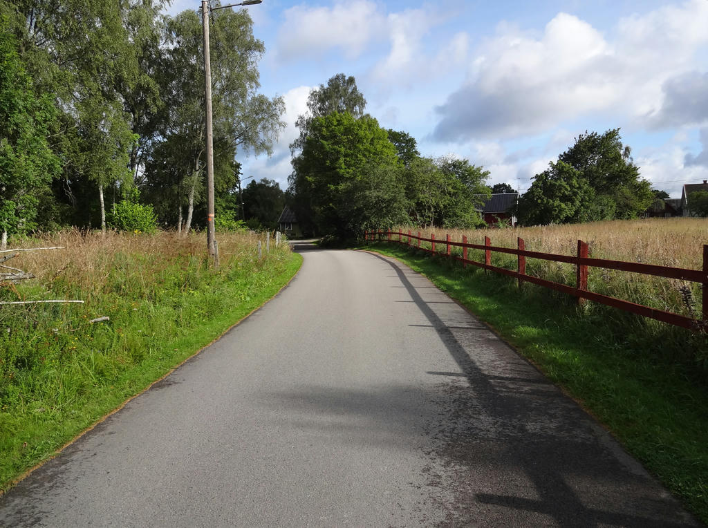
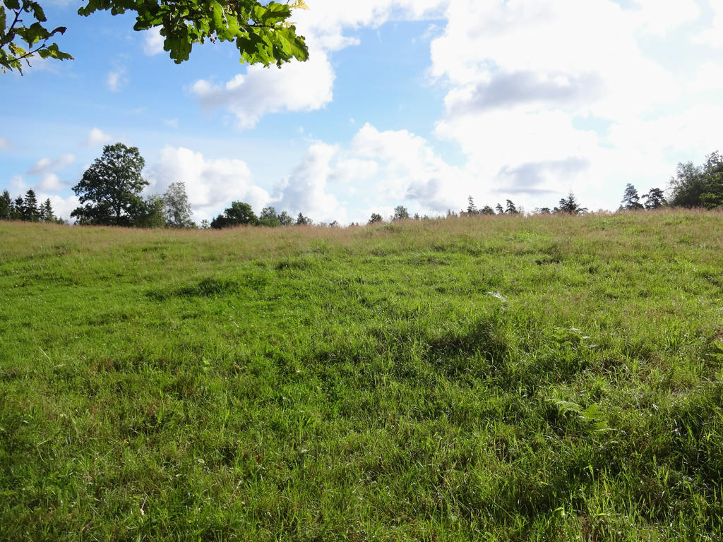
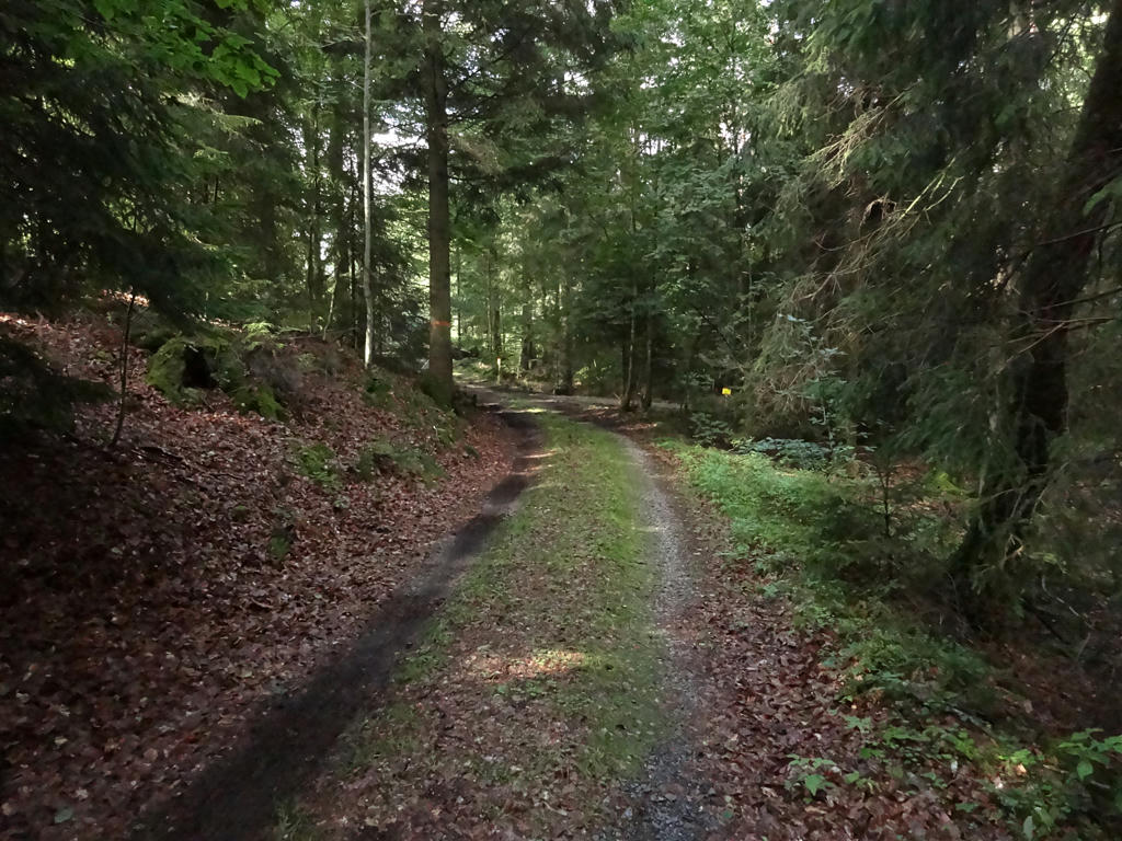
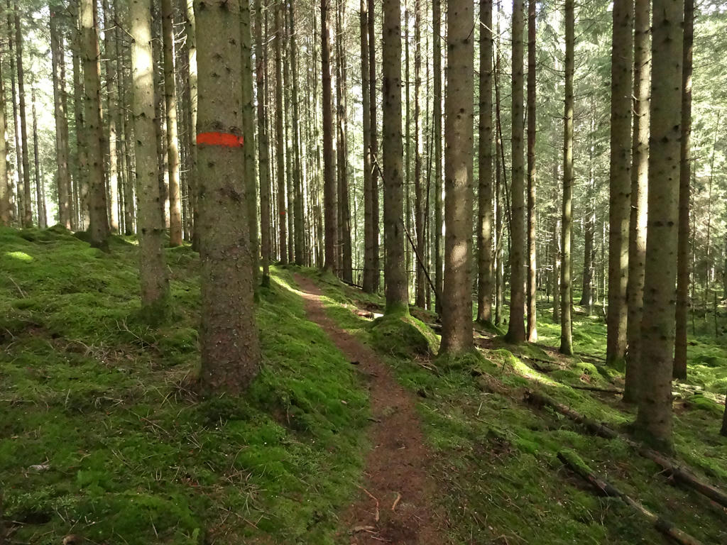
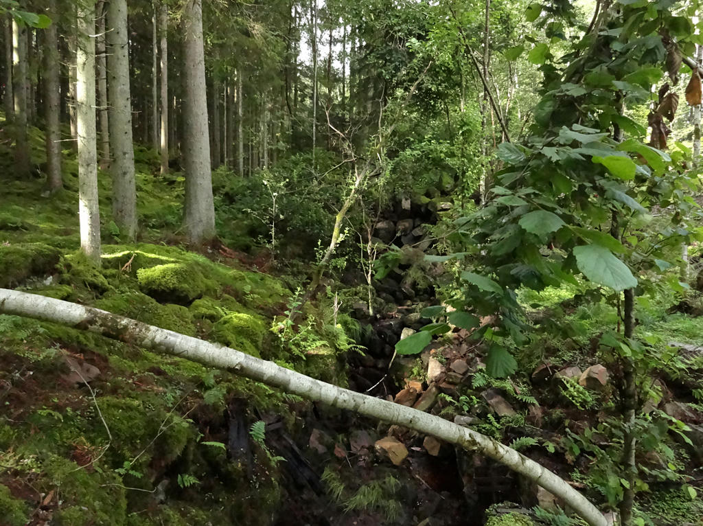
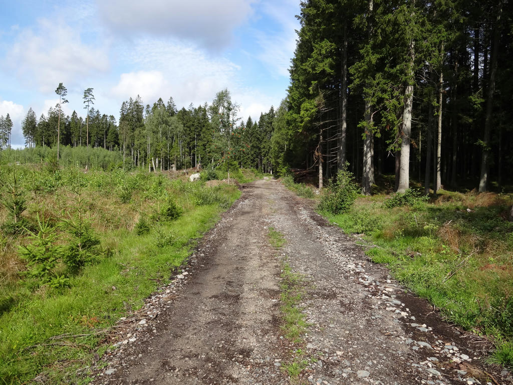
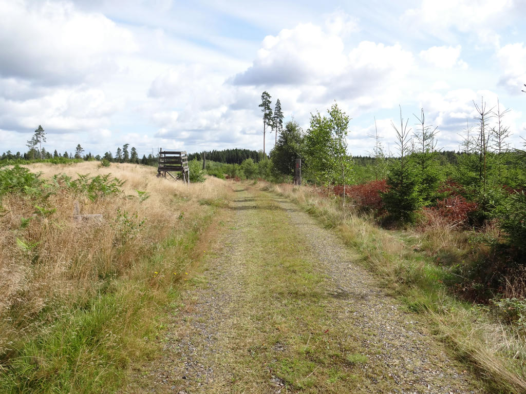
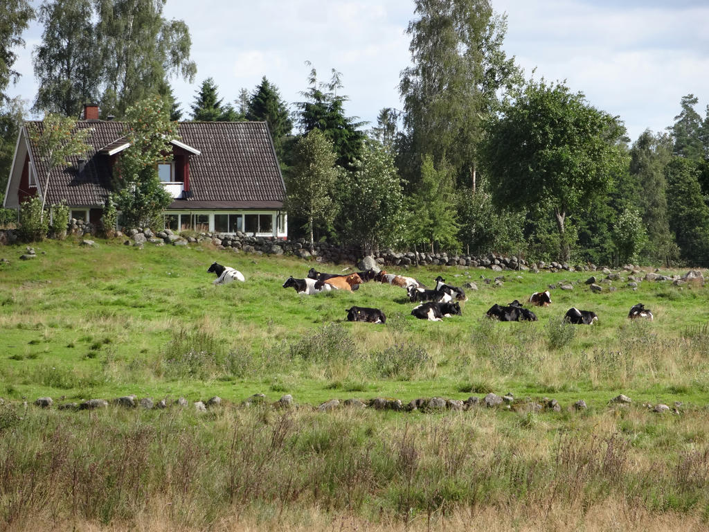
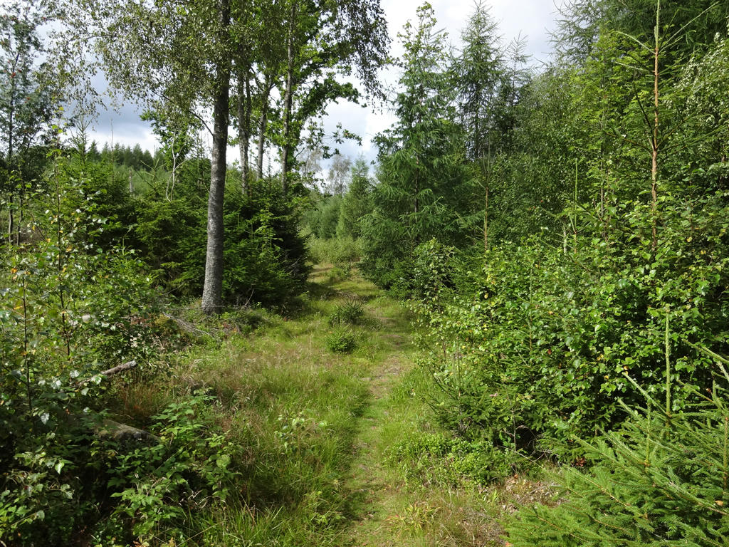
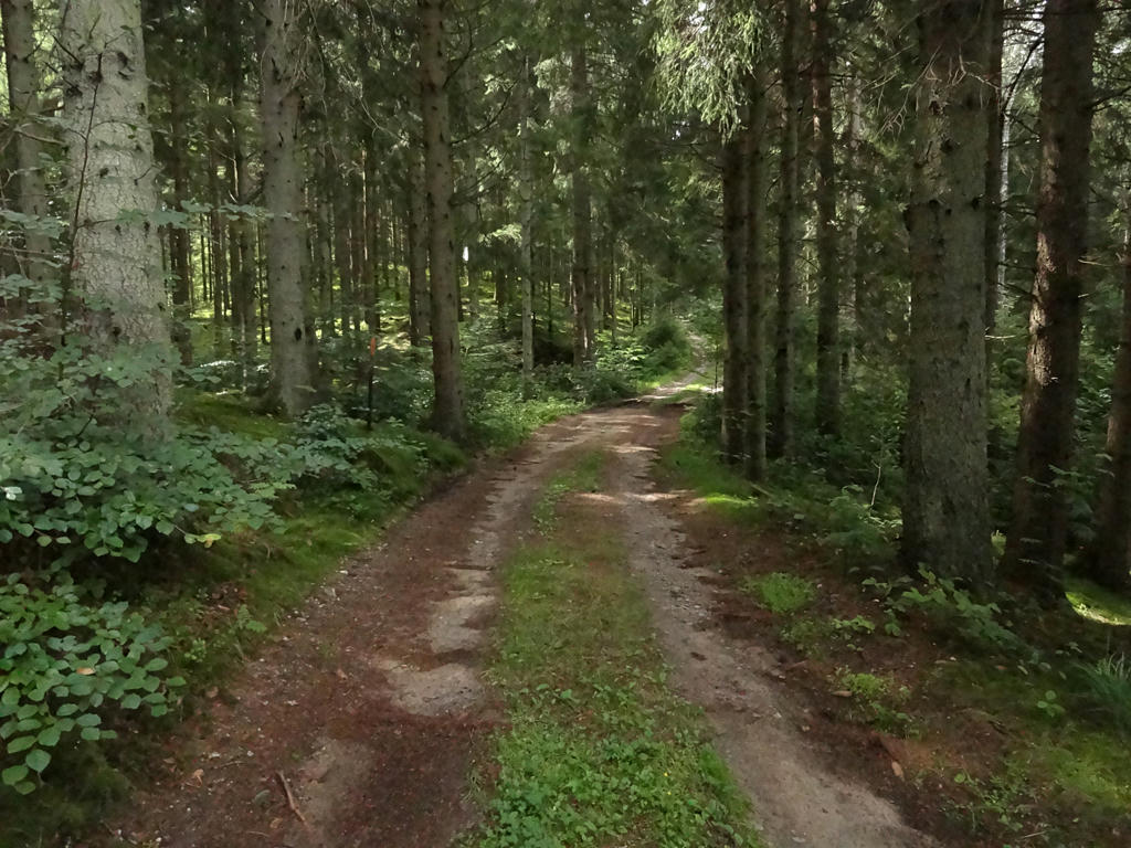
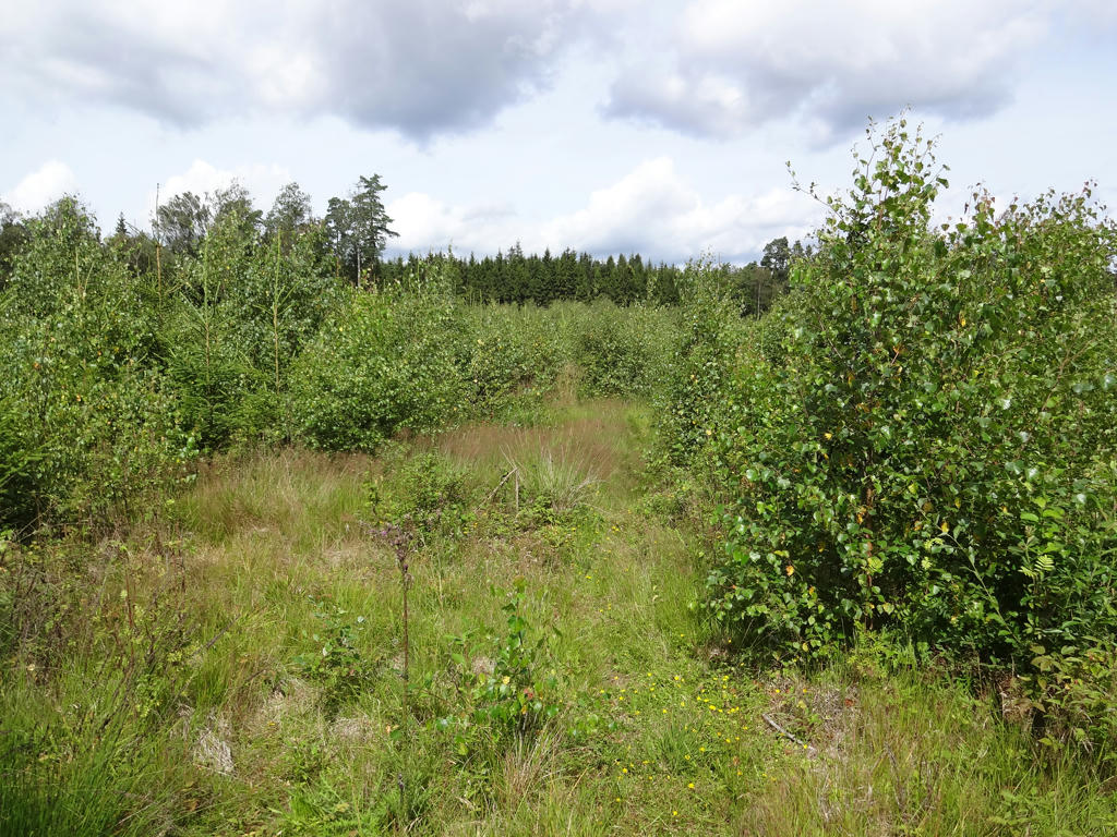
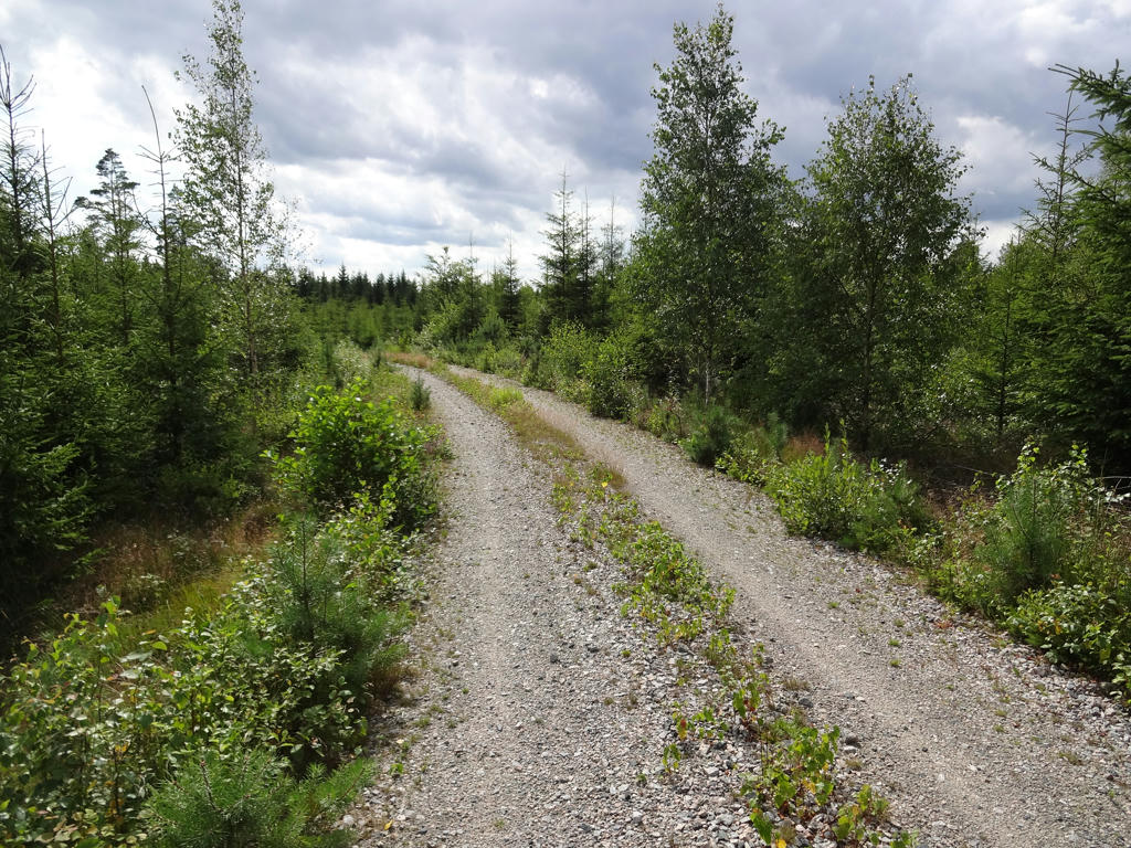
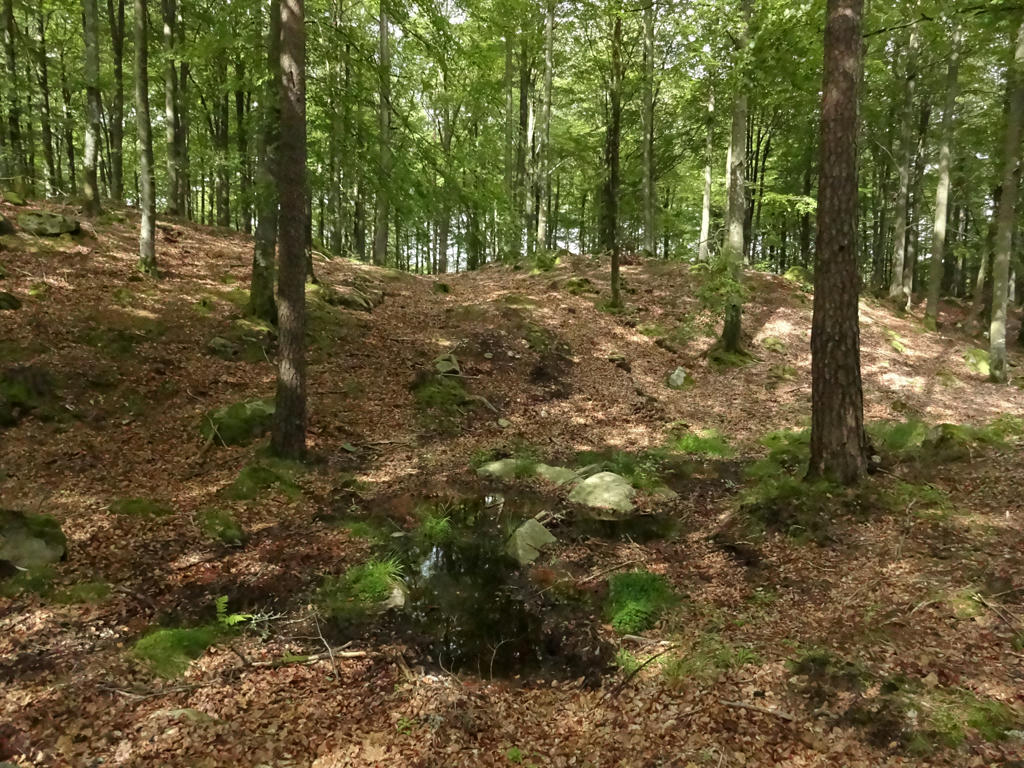
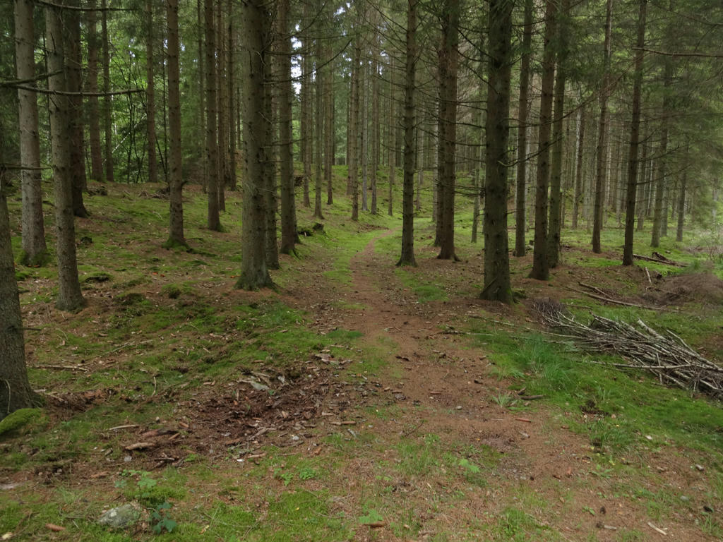
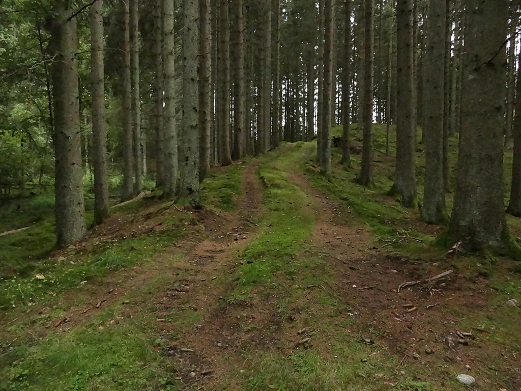
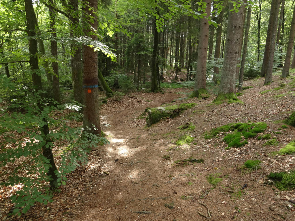
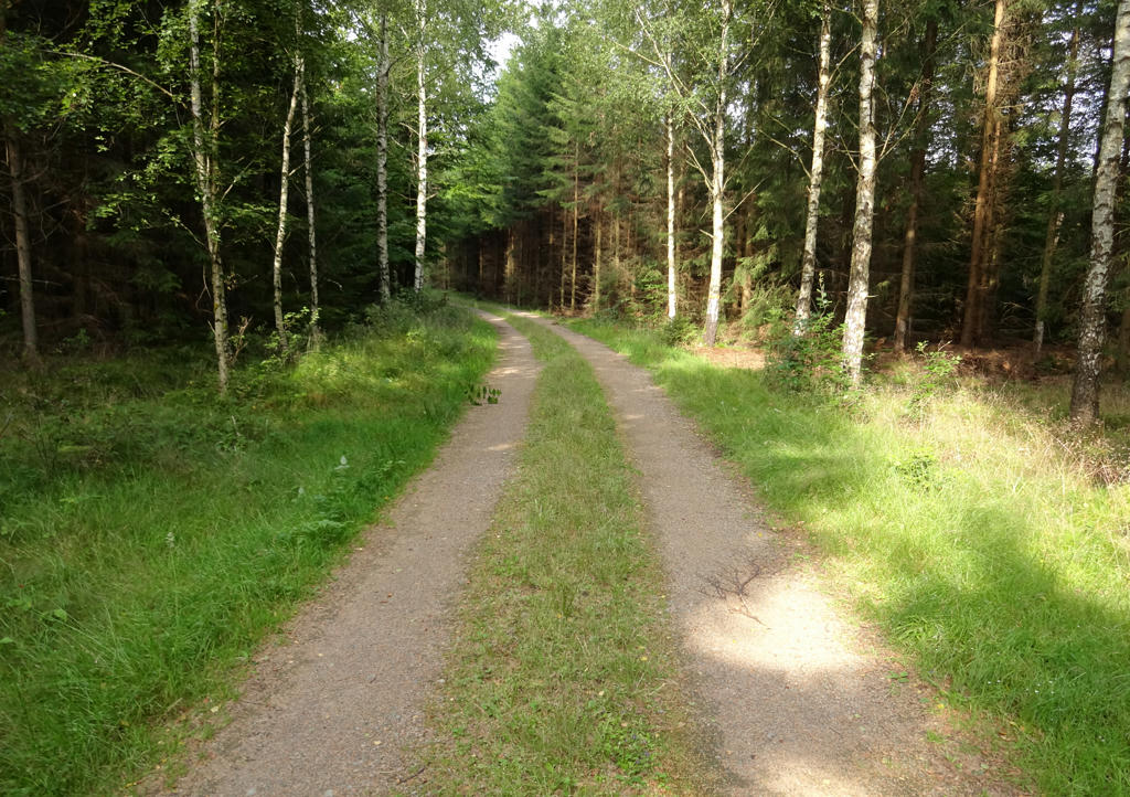
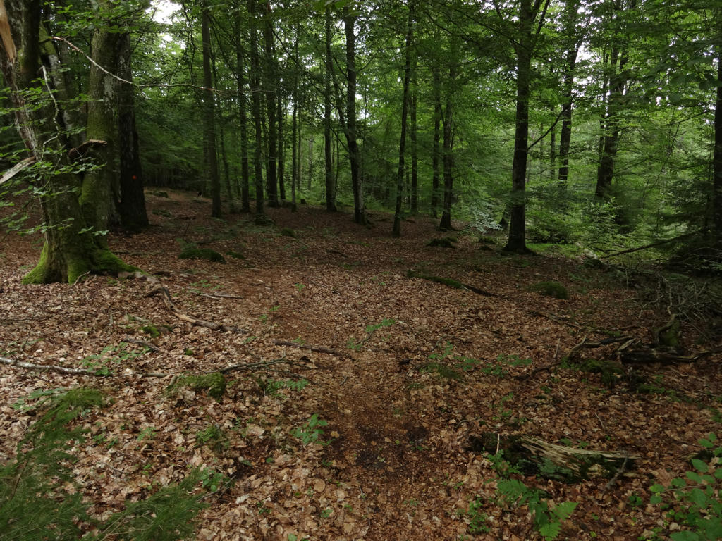
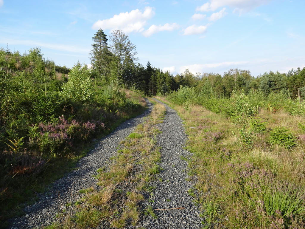
With that digression in mind, lets focus on the characteristics of this Skåneleden walks. To begin with, this is probably the Skåneleden Walk that goes through forests to the largest extent (the exception might be Skåneleden Walk #1 between Åsljunga and Koarp) and as I've previously mentioned the northern parts of Skåneleden tend to go through forests to a much larger extent than the southern parts. There is a good variety of forests types ranging from beech forests to fir or pine forests. There is some small scale farm land on the path and some small villages but most of the trail feels pretty desolated. There are a couple of lakes near to the path including Örkelljungasjön and Åsljungasjön (both of which are quite interesting). Overall I think the walk was only somewhat interesting. While there are interesting parts there are also quite boring segments going through uninteresting forest segments.
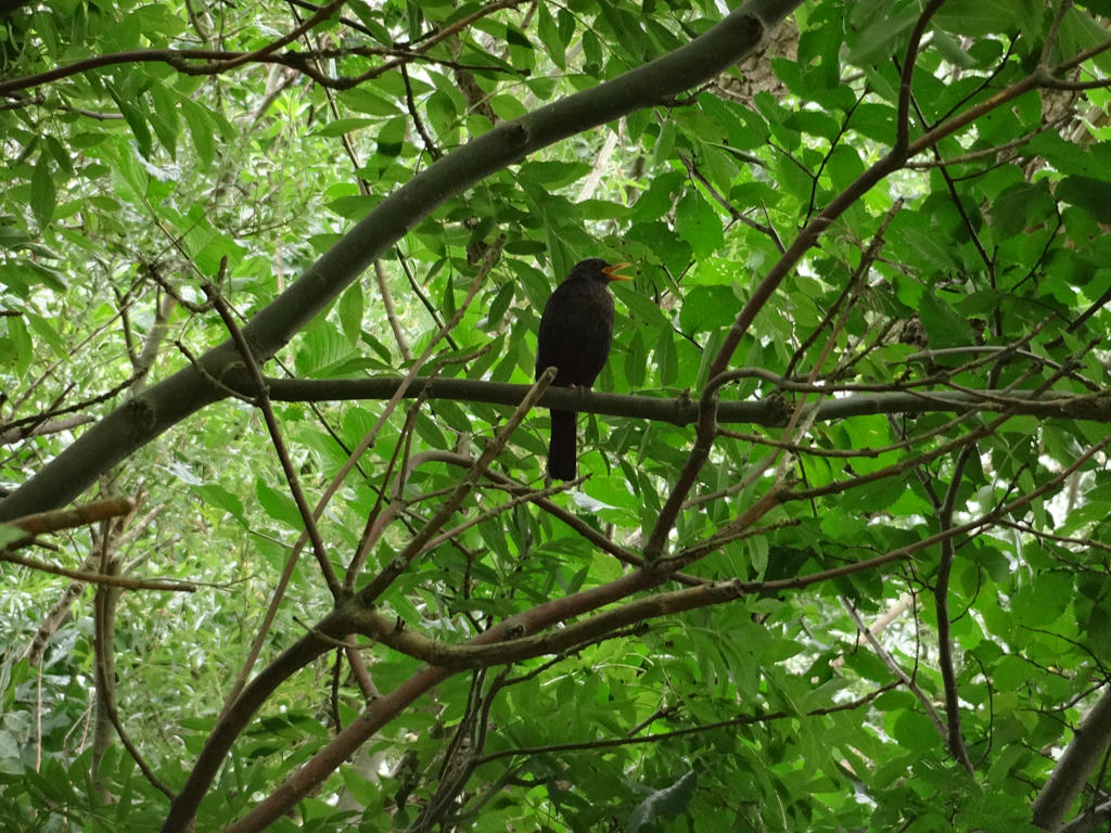
But before I present the photos I want to describe a couple of things of note. Firstly, the weather was only decent, it was around 14 to 20 degrees and pretty cloudy most of the day, but at least it didn't rain. Secondly, I saw one squirrel and two hares. Thirdly, as usual I managed to get wet shoes and thus wet socks because of wet ground and wet grass. I changed my socks twice. Finally, an unusual thing happened: Near Åsljungasjön the promenade road was actually flooded. I guess this was due to the combination of the a lot of rain and the promenade road being located only slightly above the water level in the lake in normal circumstances.
1.
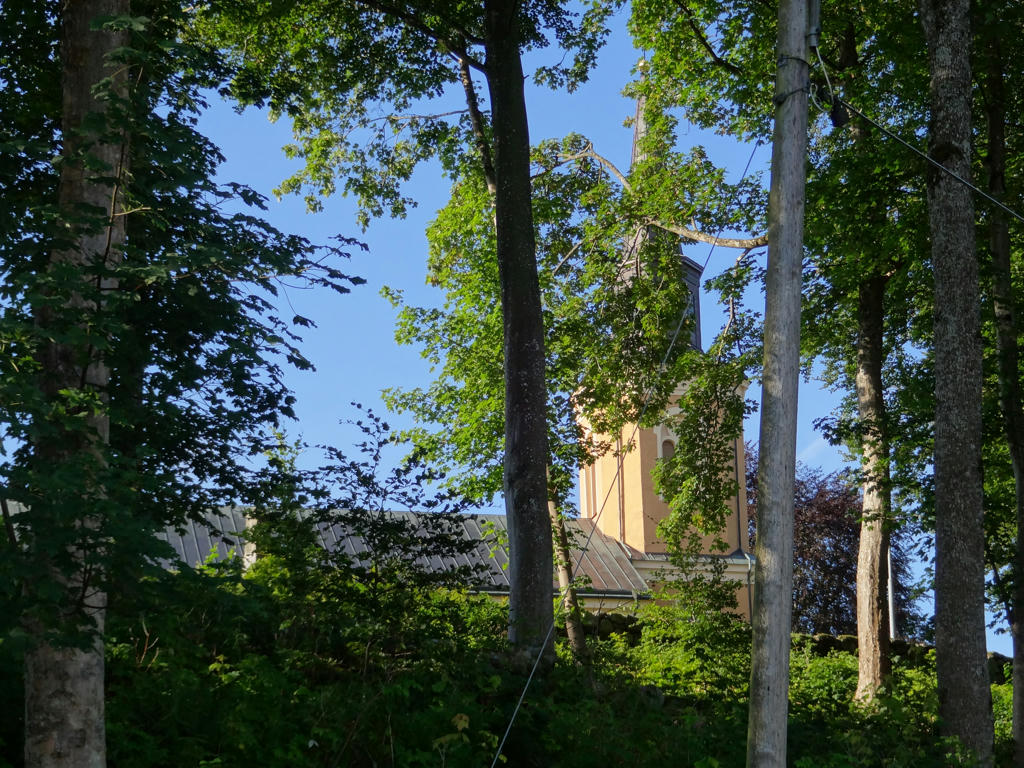
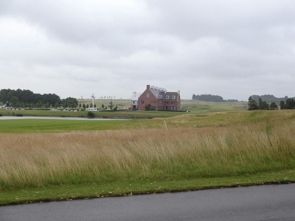
Norra Åkarp's Church
2.
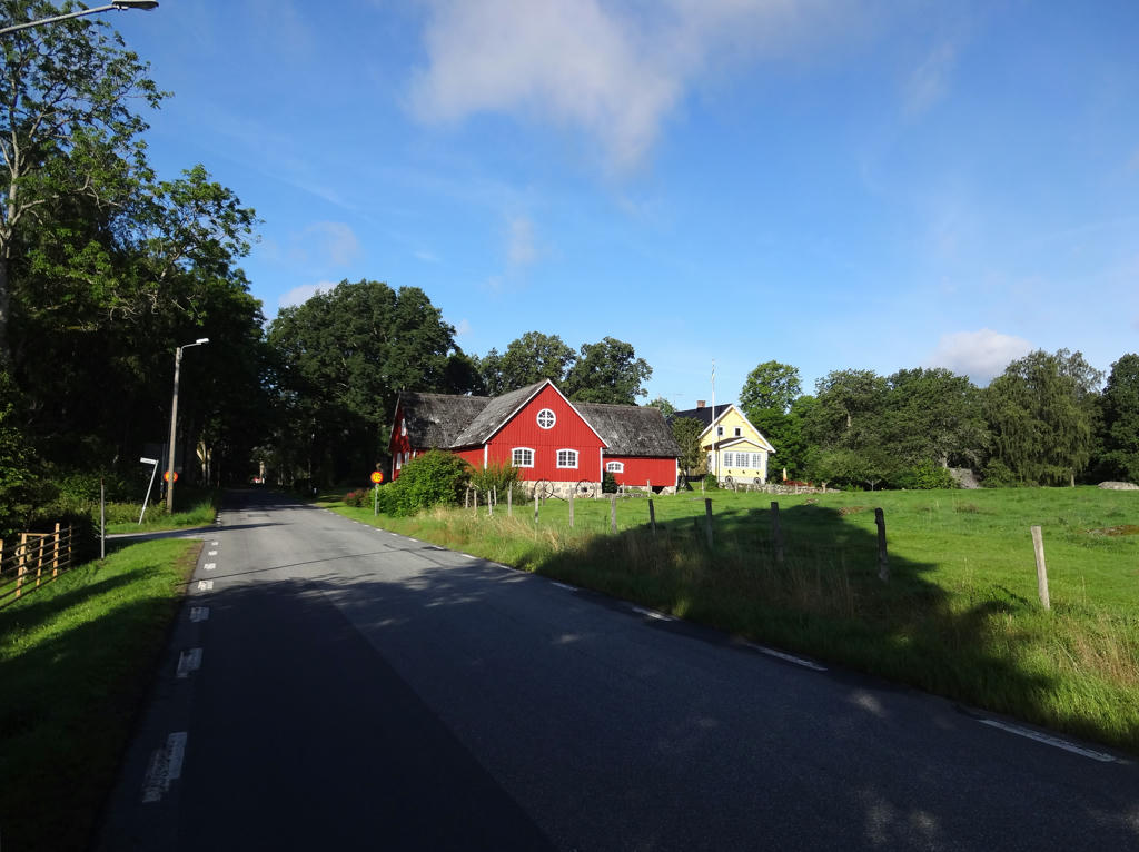
Used the hue restorer plug-in to reduce the cyan-ish sky color. Also used the levels tool to slightly brighten the sky and to slightly brighten the non-sky parts (with the exception of the bright house segments)
. Finally I rotated the photo slightly and cropped it.
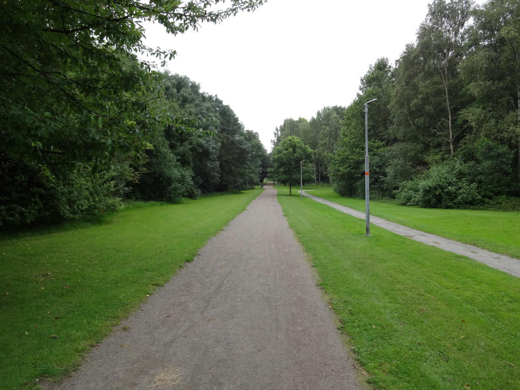
3.
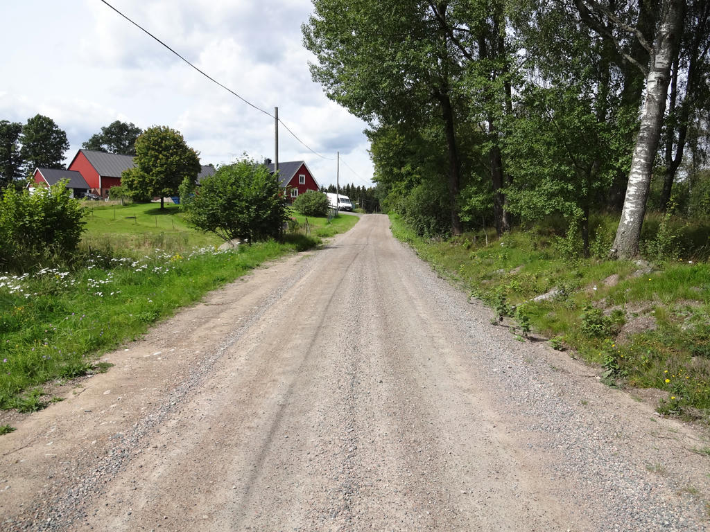
On my way to Hågnarp.
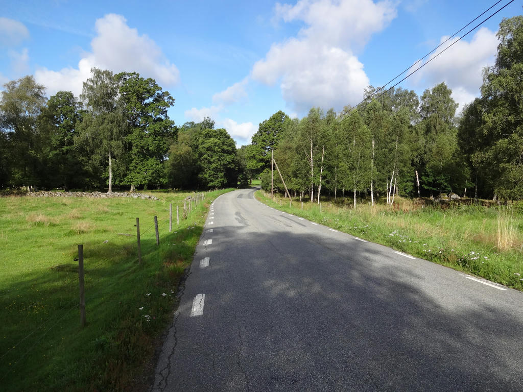
4.
Near Hågnarp. Cropped the photo a bit.
5.
Hågnarp. Rotated photo slightly and cropped it.
6.
Darkened the sky slightly using the levels tool. Also used the levels tool to brighten the non-sky parts slightly.
7.
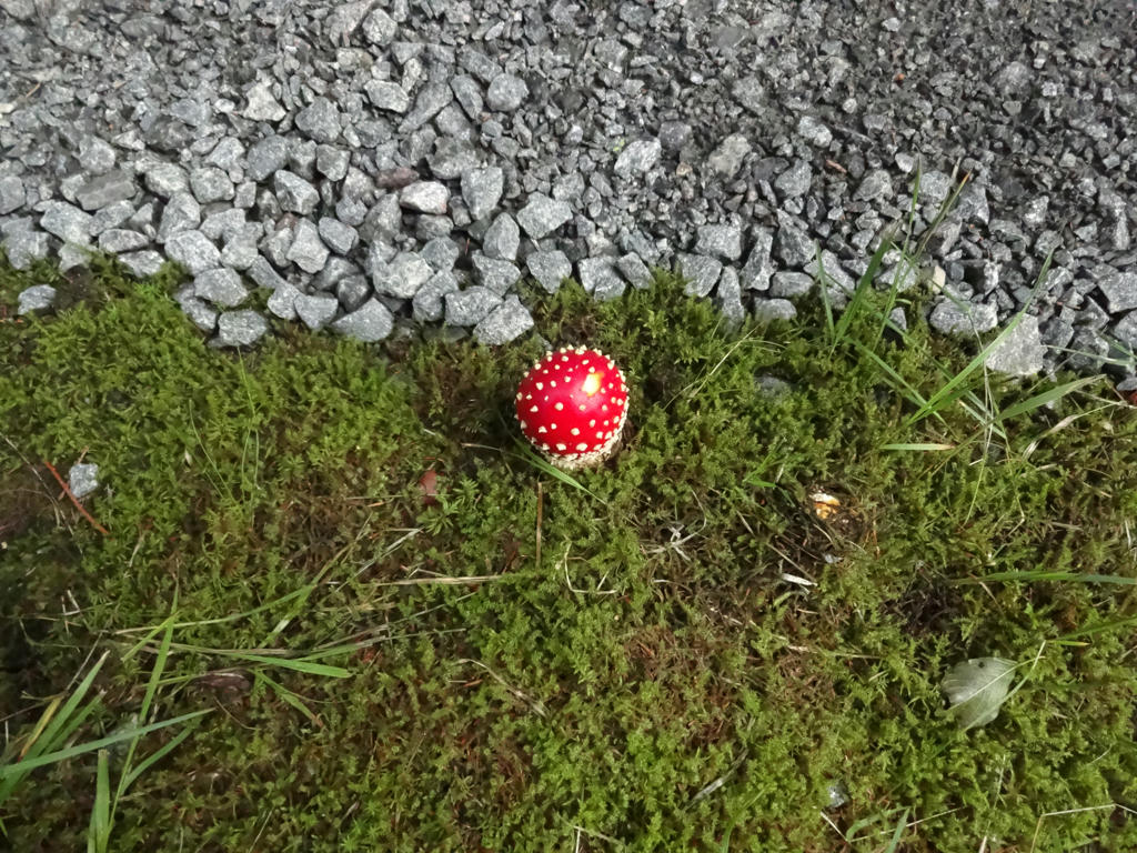
Death cap
8.
Despeckled the photo and sharpened it slightly using unsharp mask.
9.
Despeckled the photo first and then I sharpened the photo slightly using unsharp mask.
10.
Rotated the photo slightly and cropped it. Then I despeckled the photo. Finally, I sharpened the photo slightly using unsharp mask.
11.
12.
13.
14.
15.
Despeckled the photo and sharpened it slightly using unsharp mask.
16.
Despeckled the photo and sharpened it slightly using unsharp mask.
17.
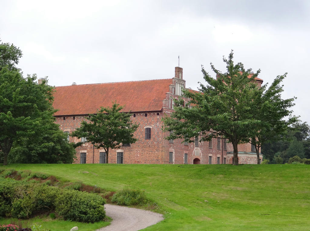
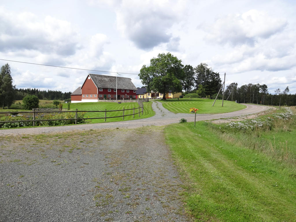
Tidemanstorp
Tidemanstorp was built in 1819 by Långe Najls and was inhabited by the family in three generations. His grandchild Sven, born at the cottage year 1869, was a strongman who enjoyed his austere life. He brought water from the spring, milk in Kvidala and when he was old he bought bread at the crossroad where the bread car stopped.
Despeckled the photo and sharpened it slightly using unsharp mask.
18.
19.
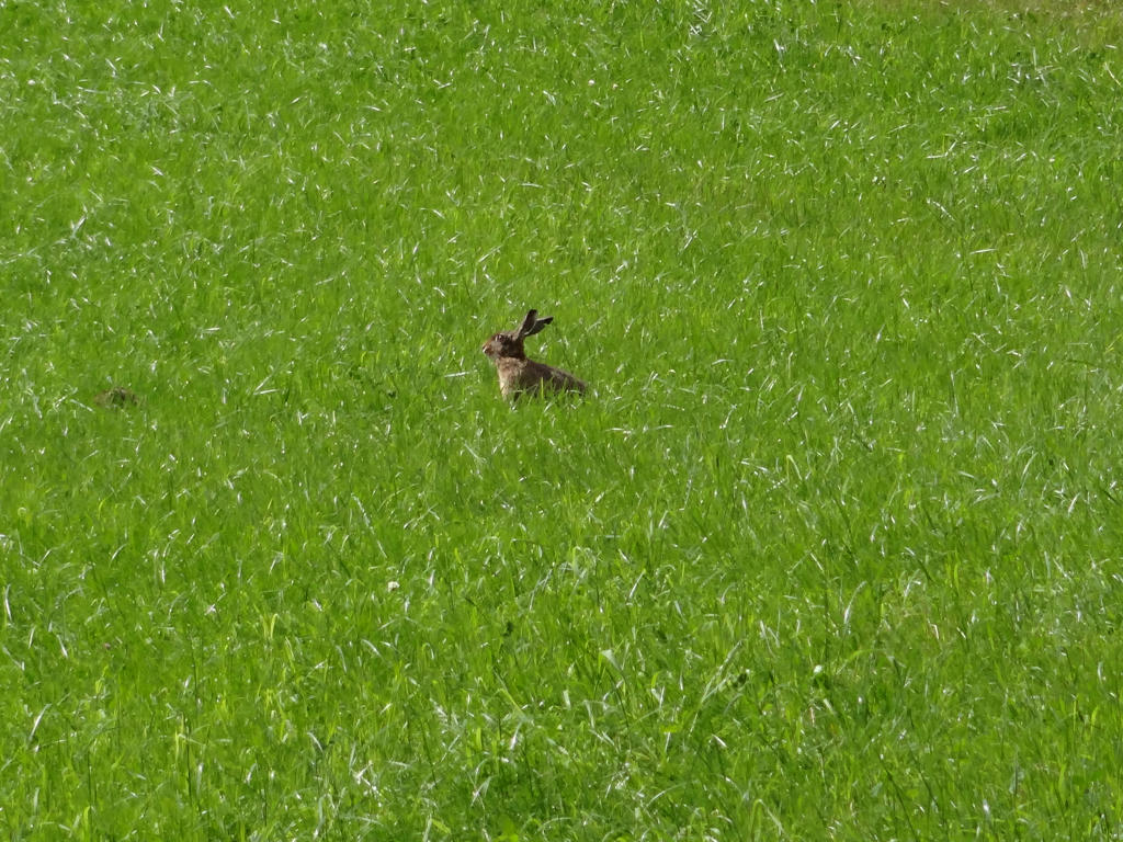
Photo of the two hares. One is clearly visible while the other can be seen only slightly because it's hidden behind the grass. Despeckled the photo and sharpened it slightly using unsharp mask.
20.
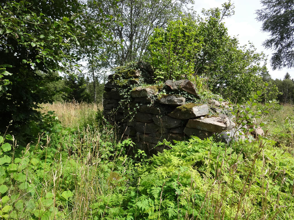
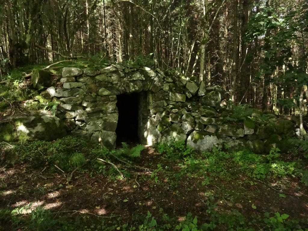
Remains of the croft "Kalles Augustas".
21.
Darkened the sky slightly using the levels tool.
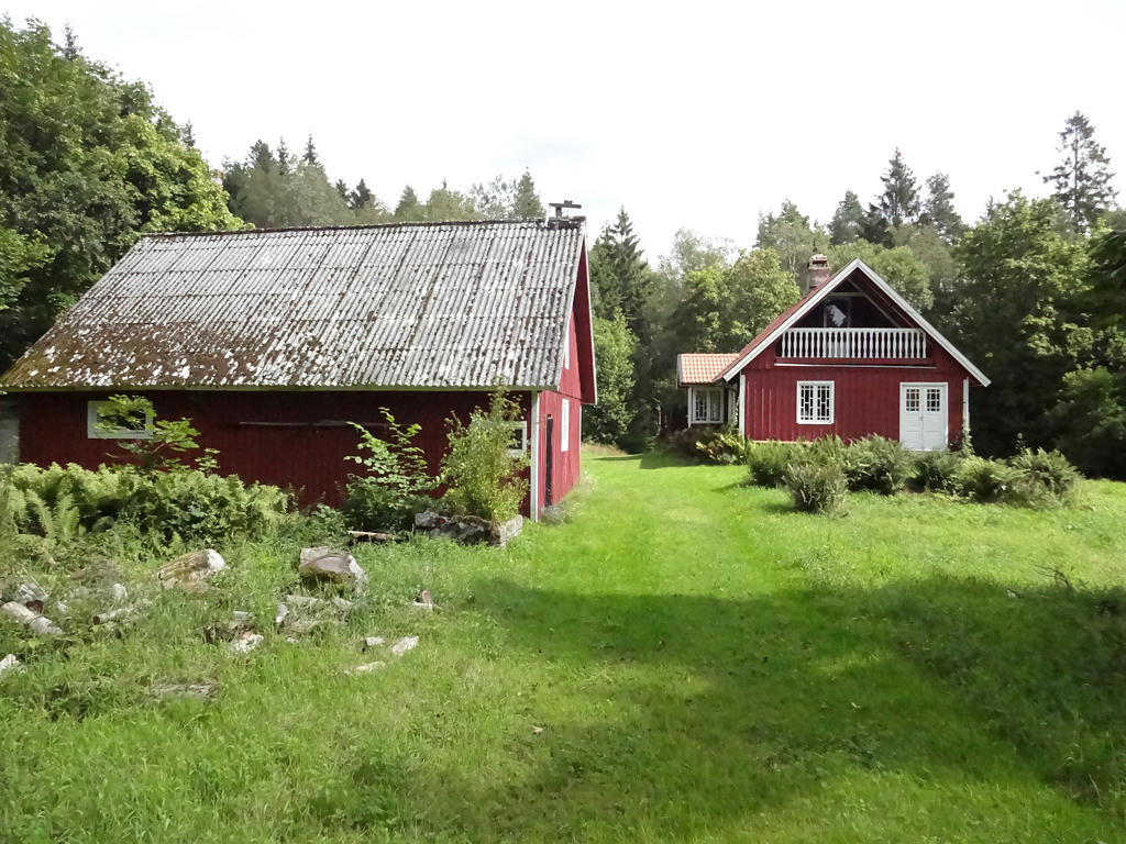
22.
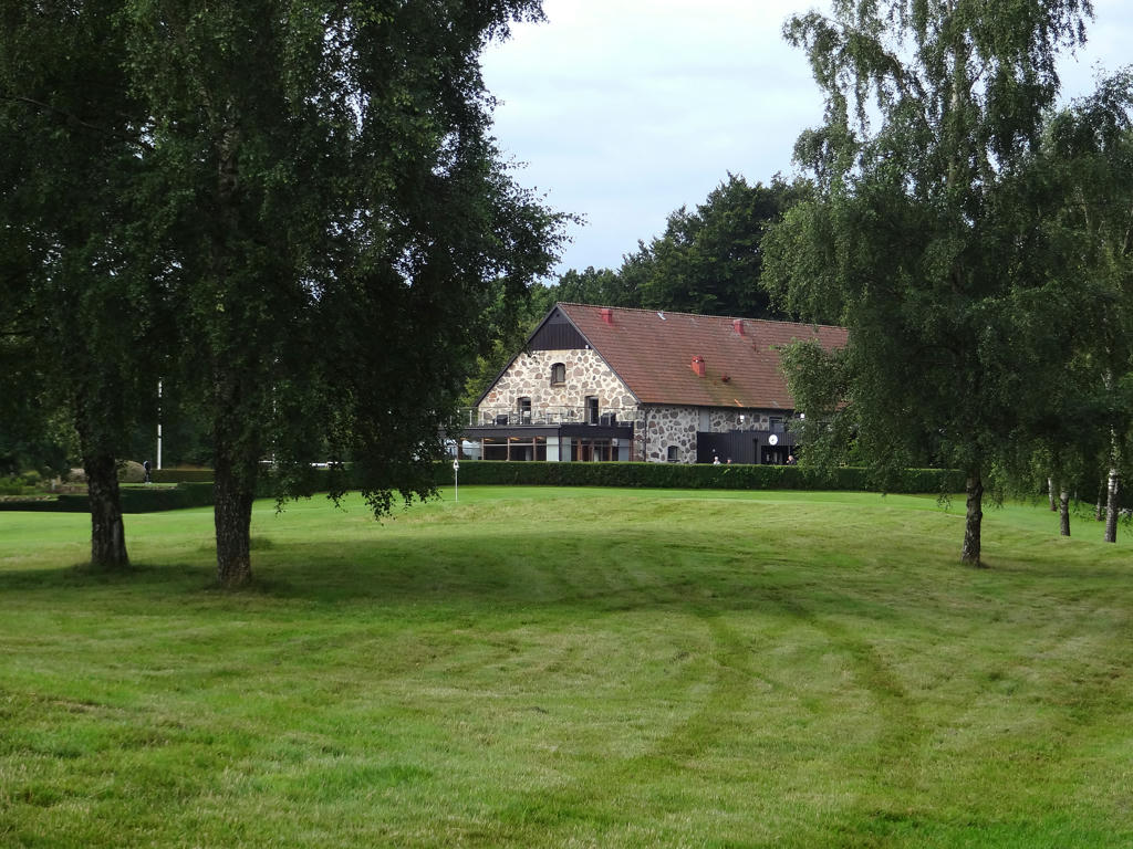
Tuvatorp
23.
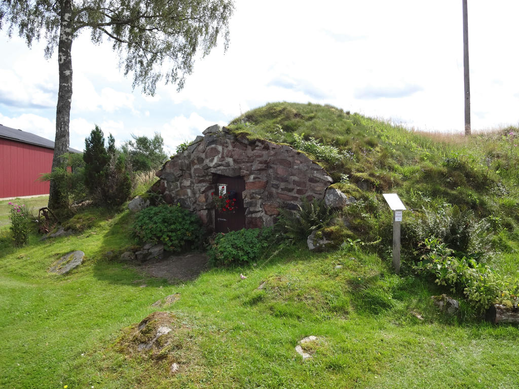
Linen sauna in Tuvatorp. Darkened the sky slightly using the levels tool.
Also used the hue restorer plug-in to get rid of the cyan-ish sky color. Finally I decreased the contrast slightly for the non-sky parts using the brightness-contrast tool.
24.
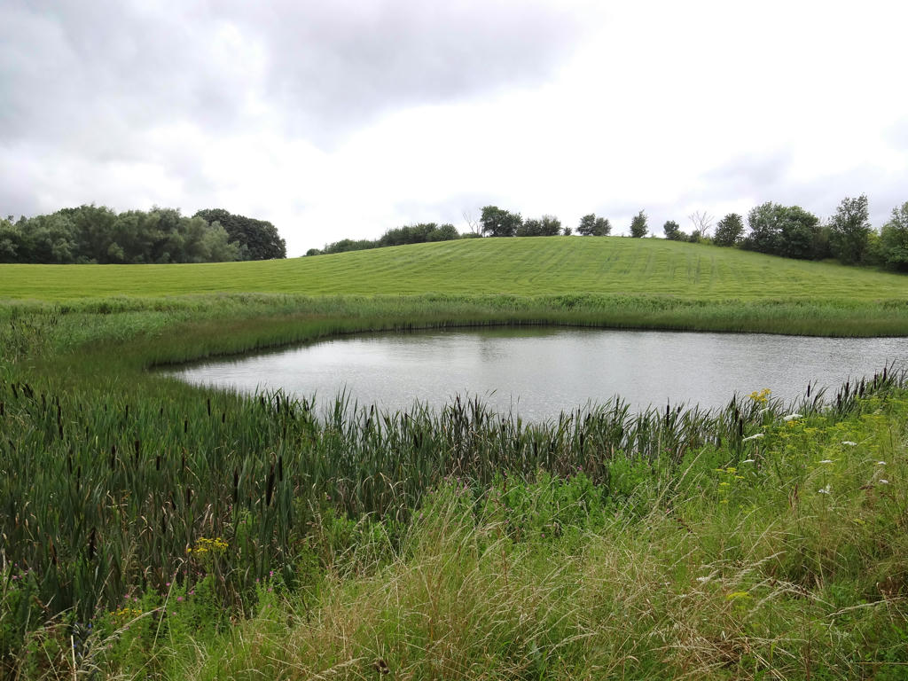
25.
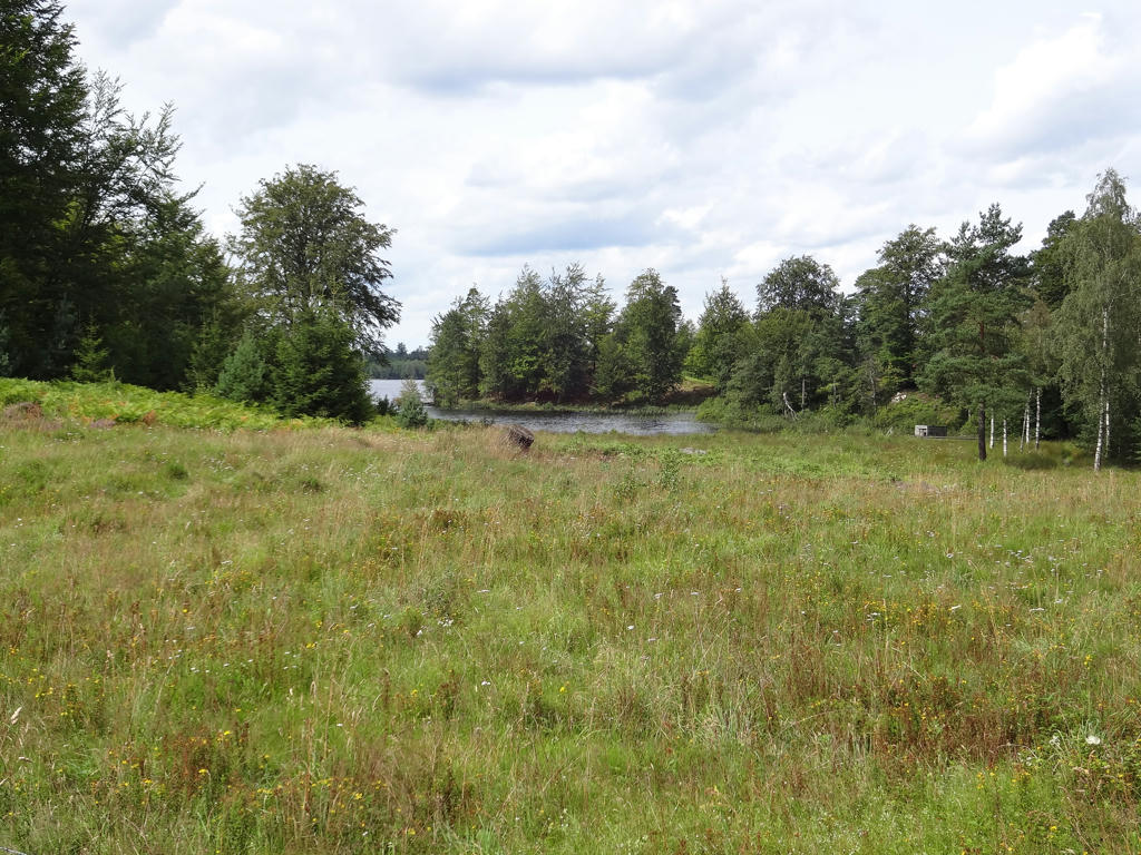
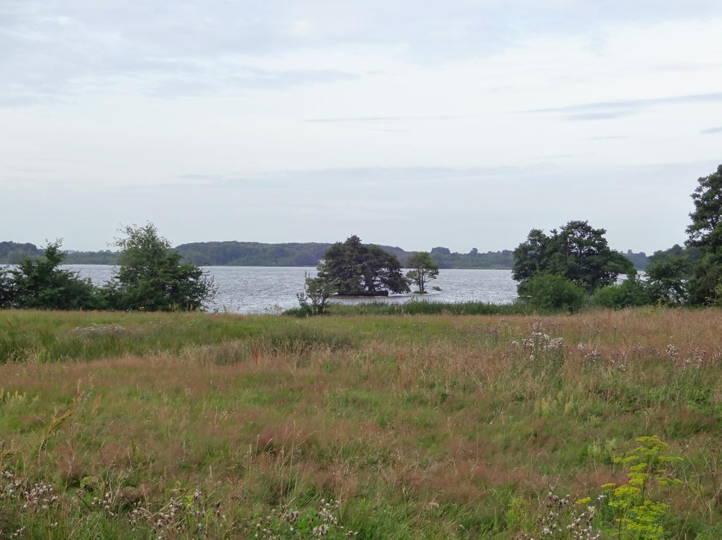
View of Gårdsjön
26.
Darkened the sky slightly using the levels tool.
27.
28.
29.
Despeckled the photo and then I sharpened the photo slightly using unsharp mask.
30.
31.
Despeckled the photo. Also sharpened the photo slightly using unsharp mask.
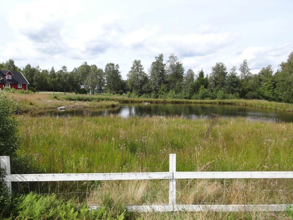
32.
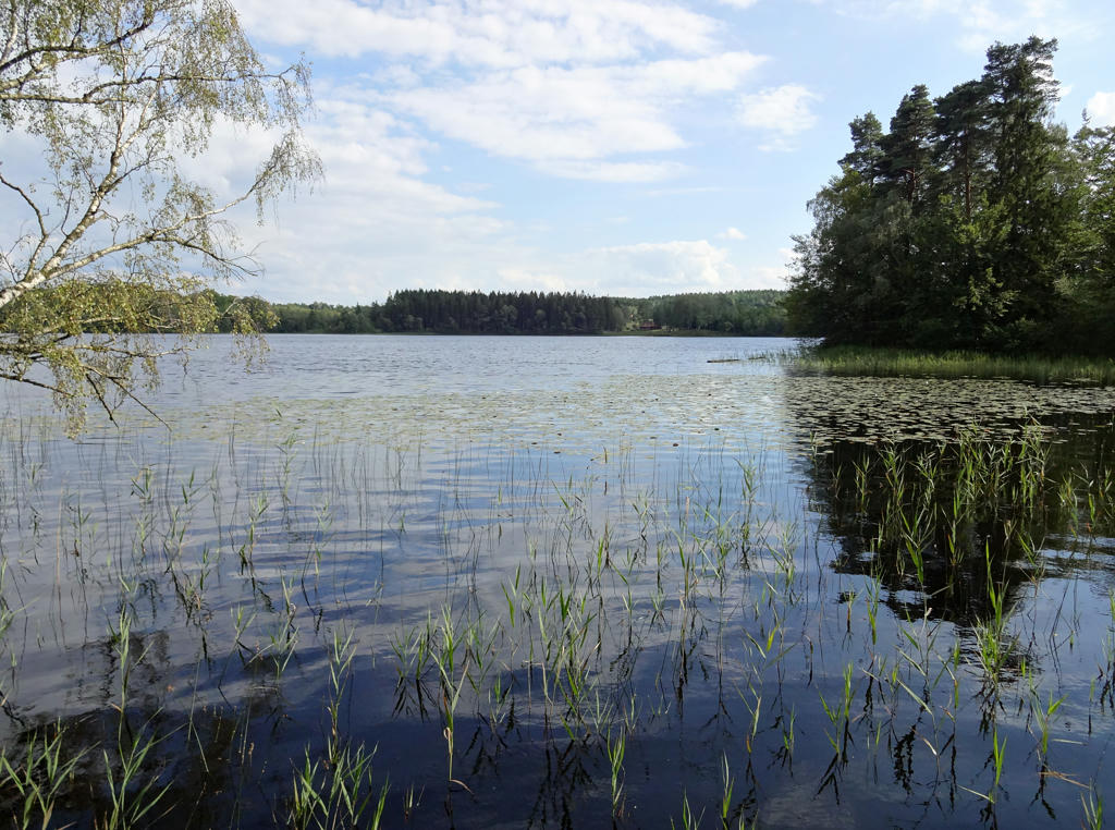
Lärkesholmssjön. Rotated the photo slightly and cropped it. Also sharpend the photo slightly using unsharp mask. Finally, I increased the contrast slightly for the non-sky parts using the brightness-contrast tool.
33.
34.
Cropped the photo slightly. Darkened the photo slightly using the levels tool.
Also despeckled the photo and sharpened the photo slightly using unsharp mask.
35.
36.
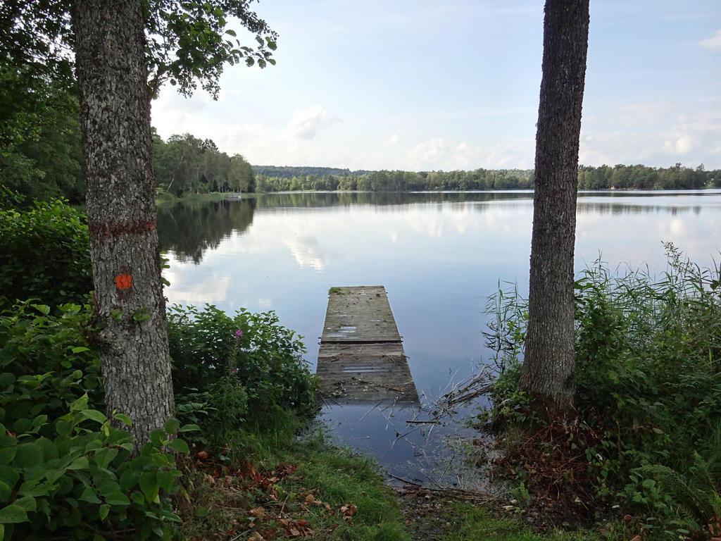
Åsljungasjön. Darkened the sky slightly using the levels tool. I brightened the non-sky parts slightly using the levels tool, the curves tool and the brightness-contrast tool. I also sharpened the photo slightly using unsharp mask.
37.
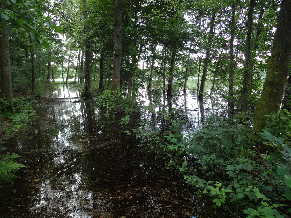
As I've mentioned above the promenade road near Åsljungasjön was flooded and to get past the flooded roads I had to around the flooded parts by walking through the forest on the left side. It certainly slowed down my walking quite a lot. Sharpened the photo slightly using unsharp mask.
38.
Another flooded part.
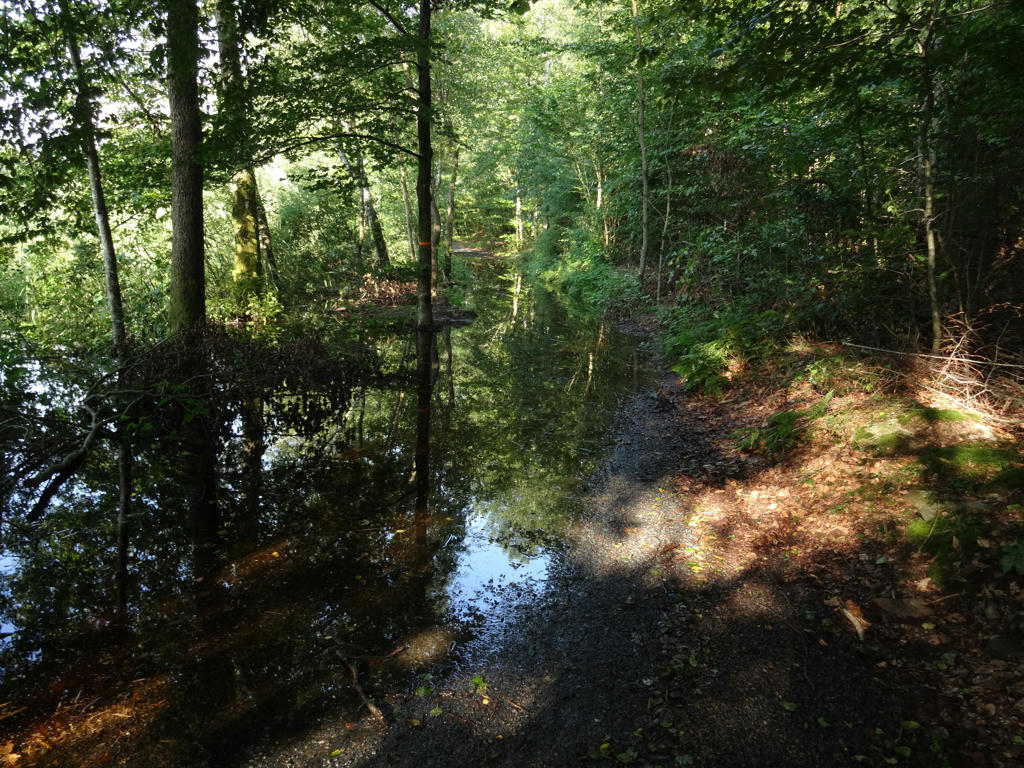
39.
Couldn't get through here. From this point to the end of the walk I was no longer able to go the correct way. Despeckled the photo and sharpened the photo slightly using unsharp mask.
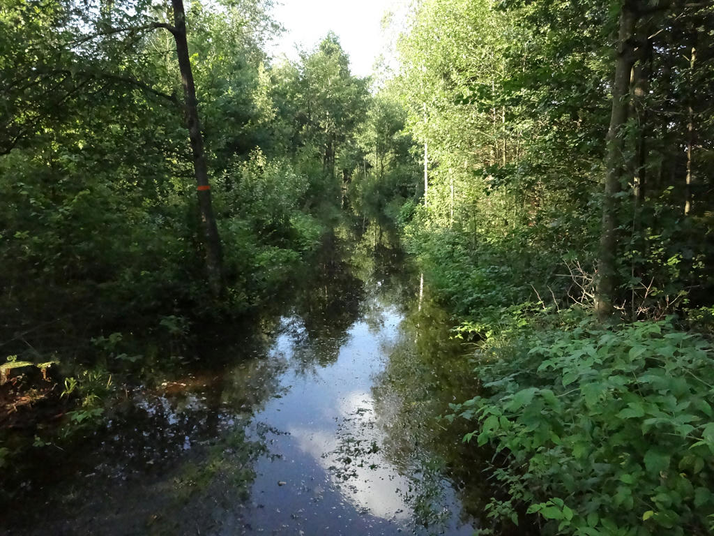
40.
Going around (alternative way).