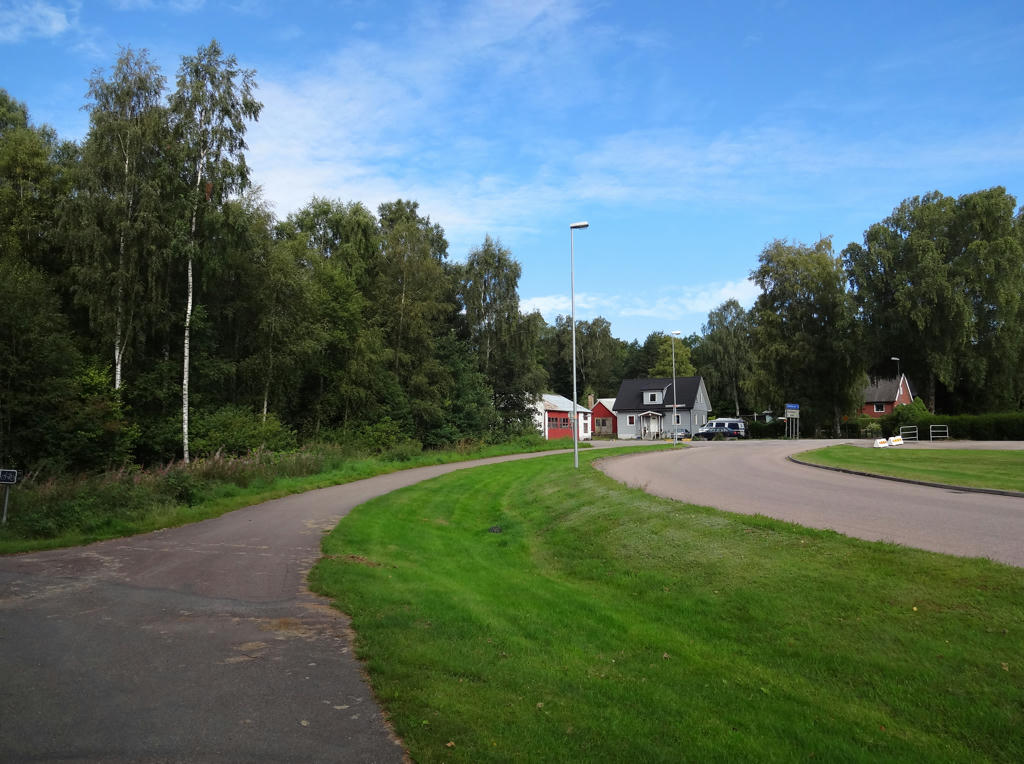
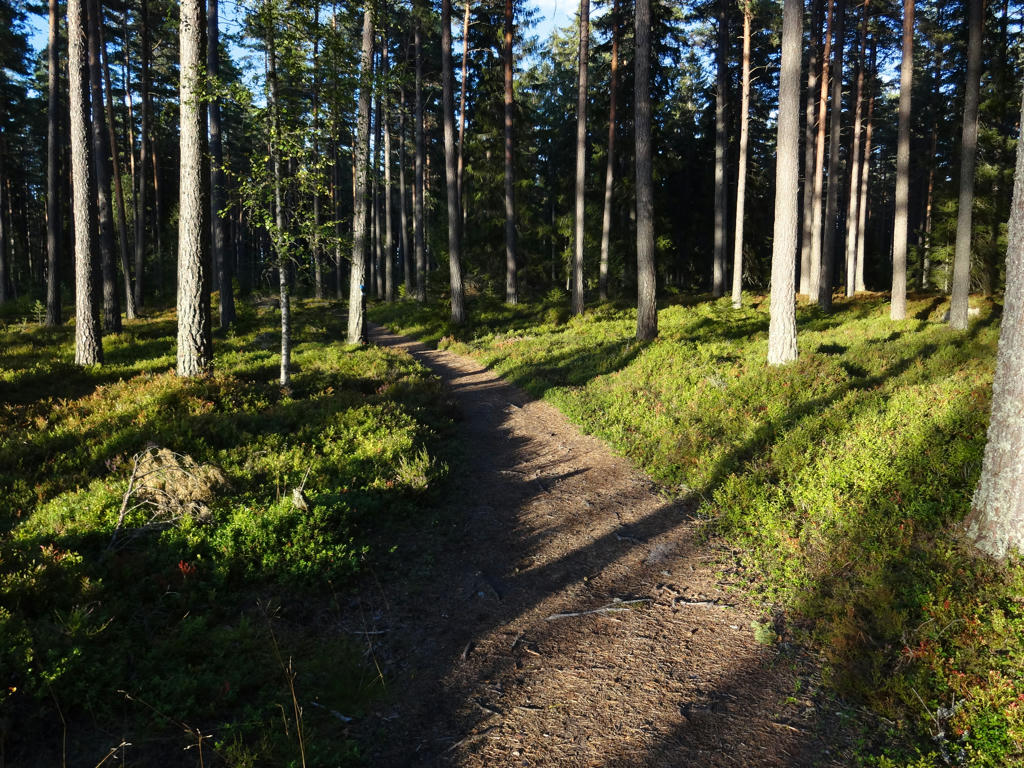
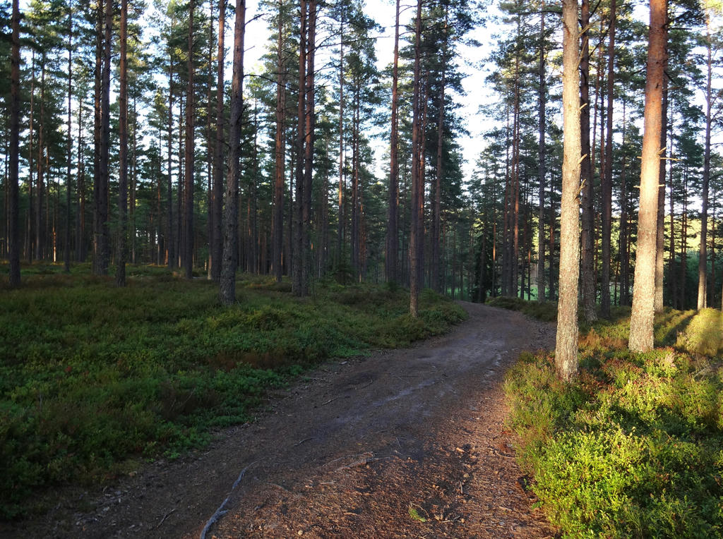
I enjoyed the walk very much (it is one of my favorite walks). The walk goes for the most part on asphalt and gravel roads and passes through many idyllic villages and near several large lakes. Near the end, the trail goes through Mullsjö friluftsområde(resort region), which is also a very interesting part of the walk. Another reason I enjoyed the walk so much was because it was 40km and it felt good to traverse such a long distance, especially since I made sure walk pretty relaxed (not rushing it). Despite walking such a long distance I didn't feel too tired (I've felt more tired during some of my shorter walks). Finally, the weather was almost perfect (sunny and good temperature).
There were a few minor things that were not as perfect. Near the end of the walk (when going through the Mullsjö resort area), the camera battery was running out. However, that did not stop me from still taking many photos (despite the risk that battery would run out). I think that it was after this walk that I started thinking about buying extra batteries for my camera but it ended up taking until a few days before I did the Gislavedsleden walk between Fegen and Burseryd (i.e. roughly 1.5 months later) before I had ordered the extra camera batteries and received them. It feels good to carry around extra batteries (and for that matter using a 128GB memory card (which is also something I ordered and received around that time) instead of a 8GB memory card). For the last part of the walk going through Mullsjö resort area I also had a bit of a hurry to make it on time to the train from Mullsjö train station and I also had to make it on time before it got dark. I arrived at the train station when the sun had almost set down. Furthermore I got a few mosquito bites when walking near the lake Stråken. Either way, I didn't let these things stop me from enjoying the last few kms of the walk and I still didn't rush things.
So, without further ado I present a selection of the photos. Enjoy!
1.
In Dalum.
2.
A milestone in Dalum. Rotated and cropped the photo.
3.
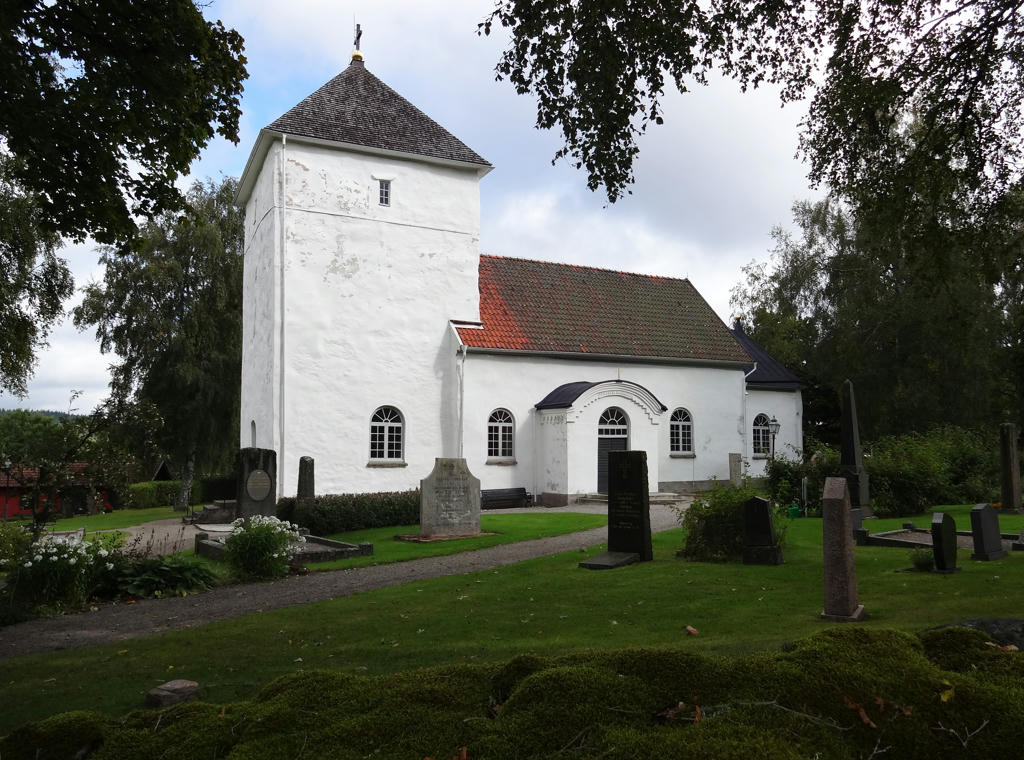
Dalum church. Rotated and cropped the photo.
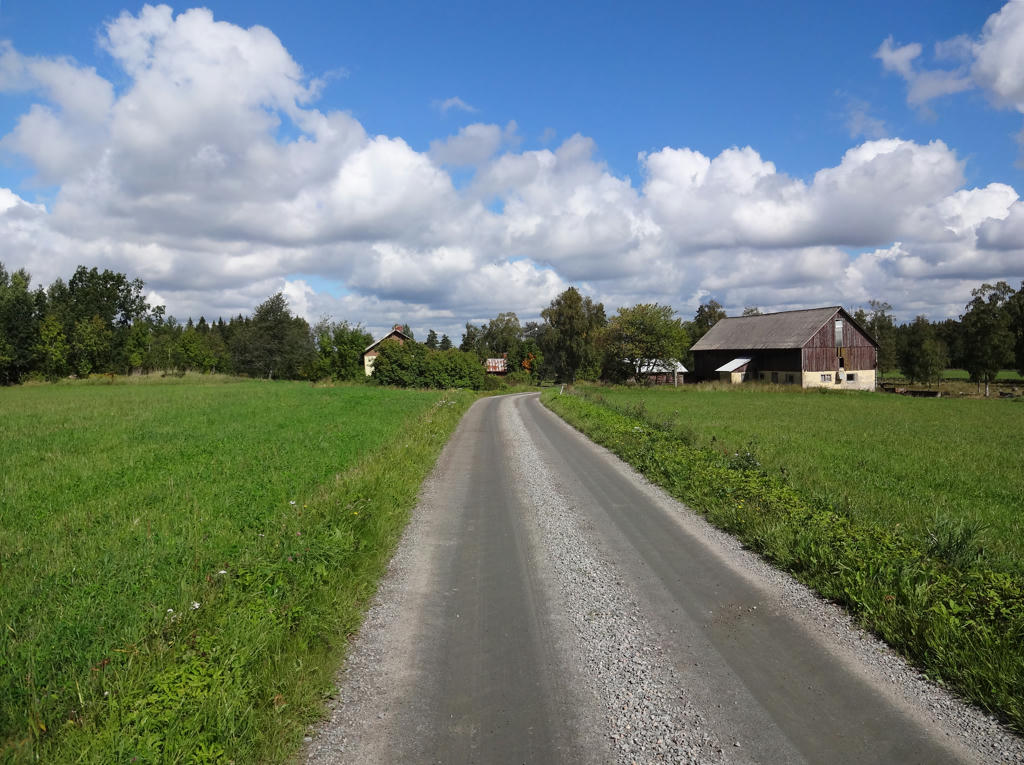
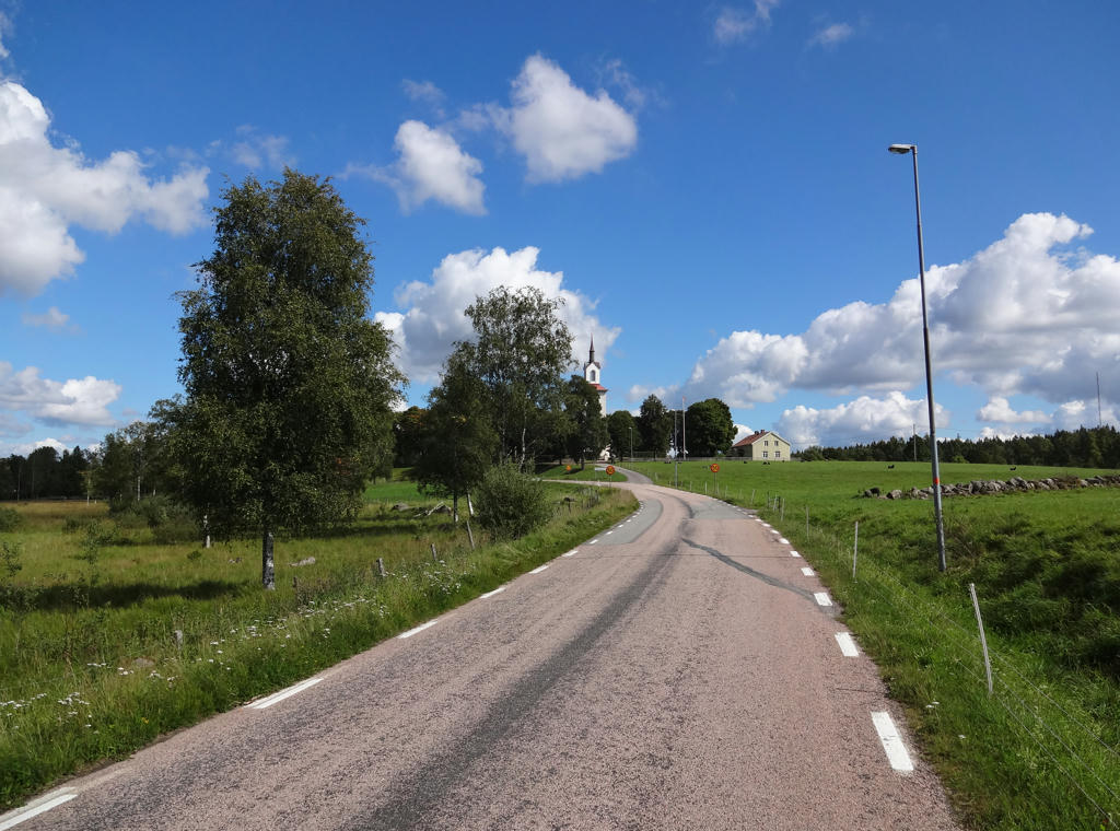
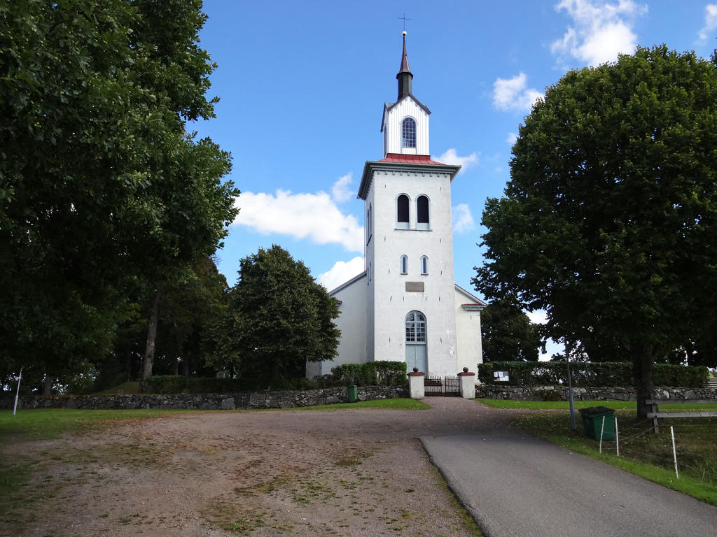
4.
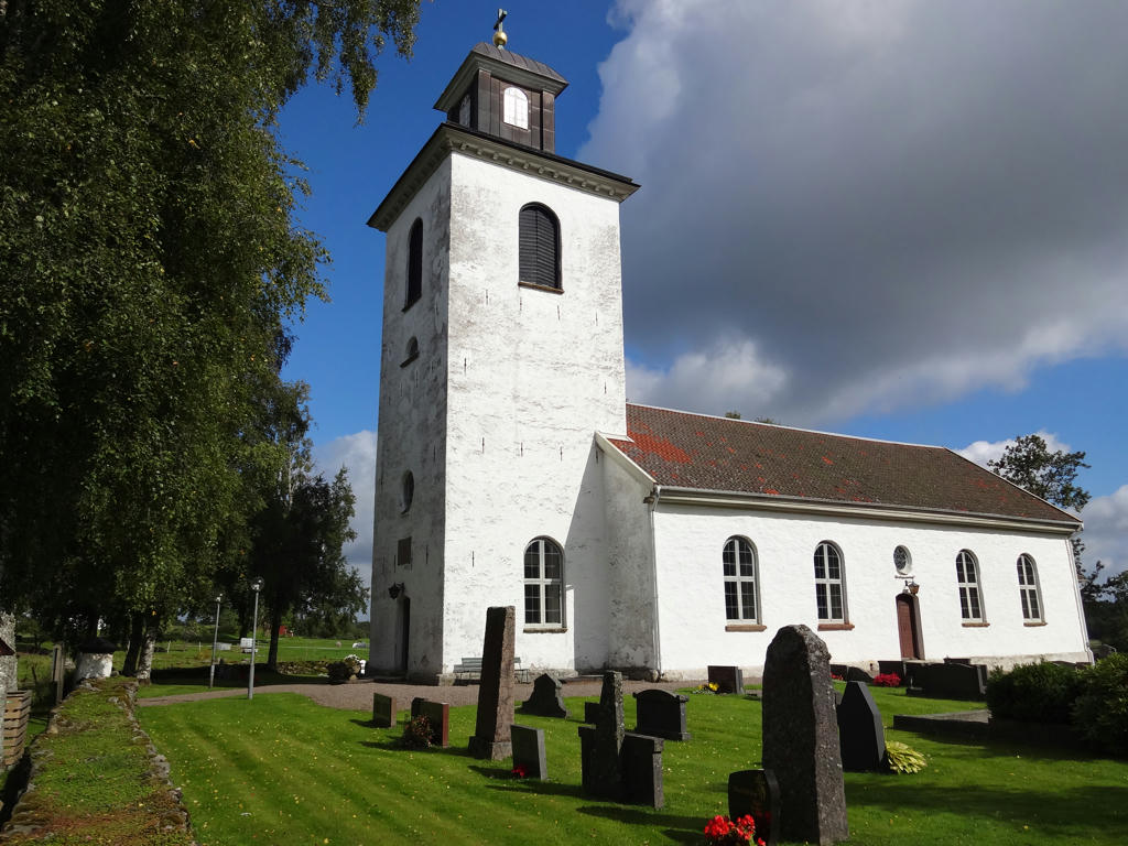
Böne church.
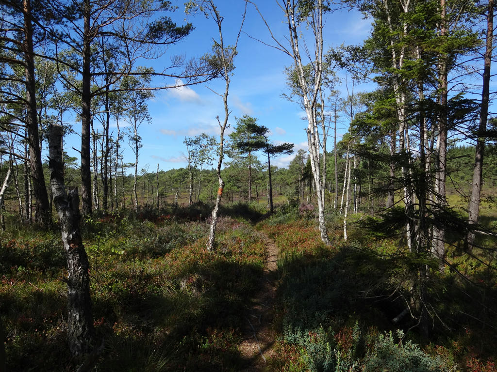
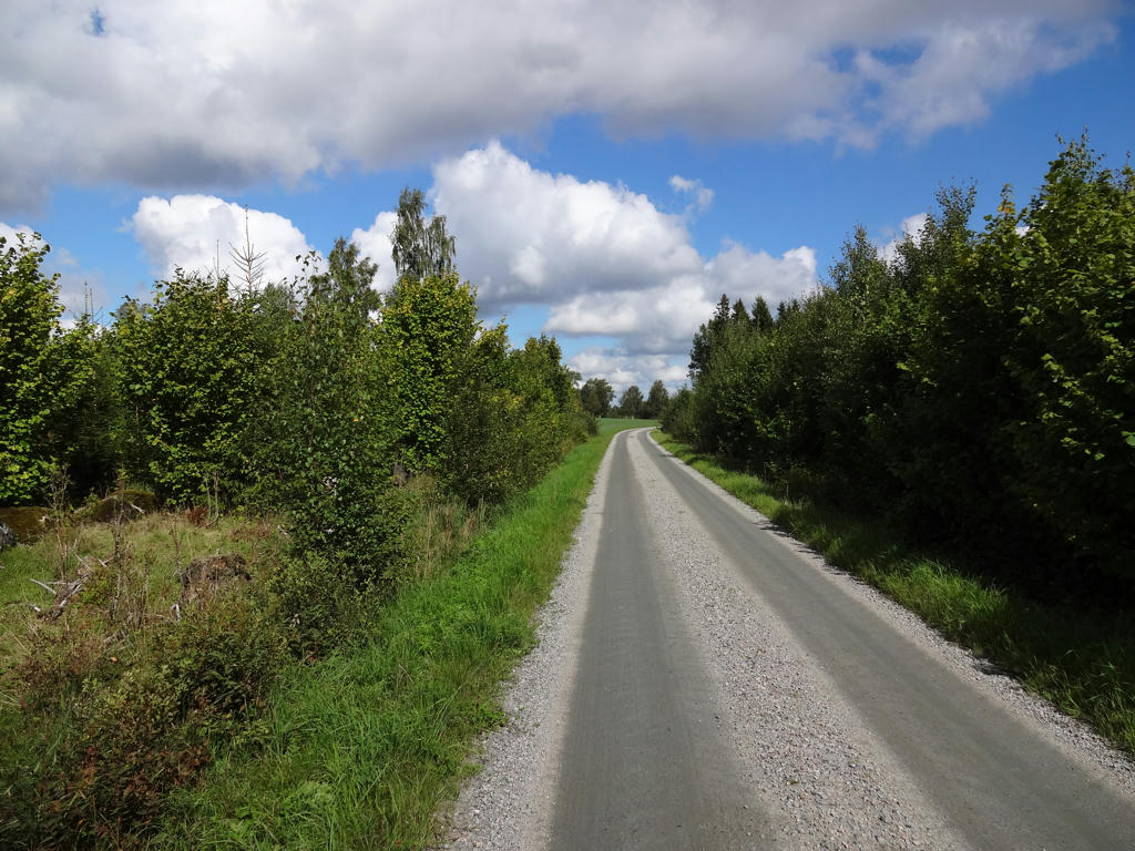
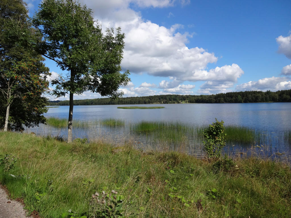
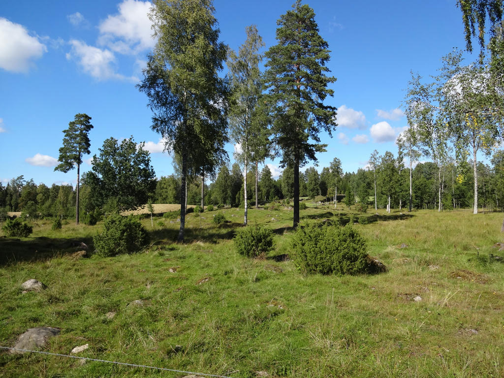
5.
6.
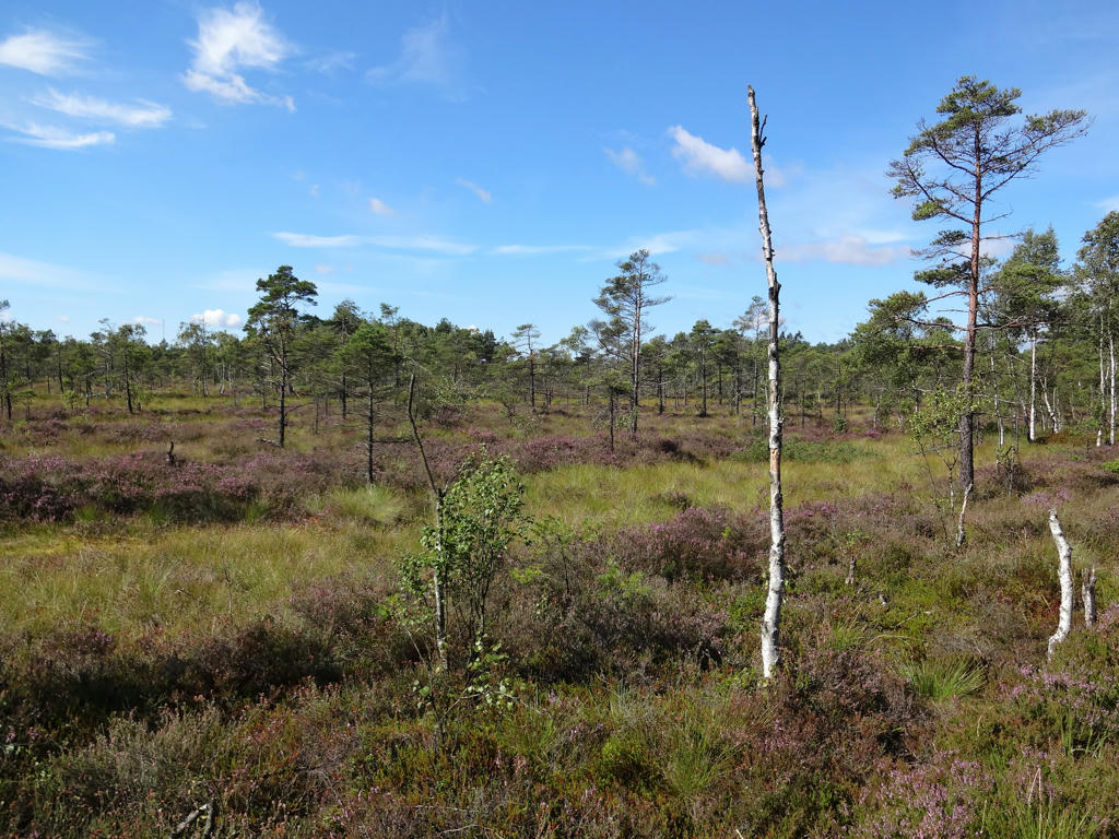
7.
The photo was too bright (overexposed) so I equalized the histogram.
8.
Ätran (in Knätte).
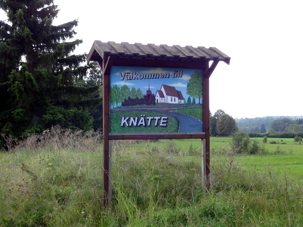
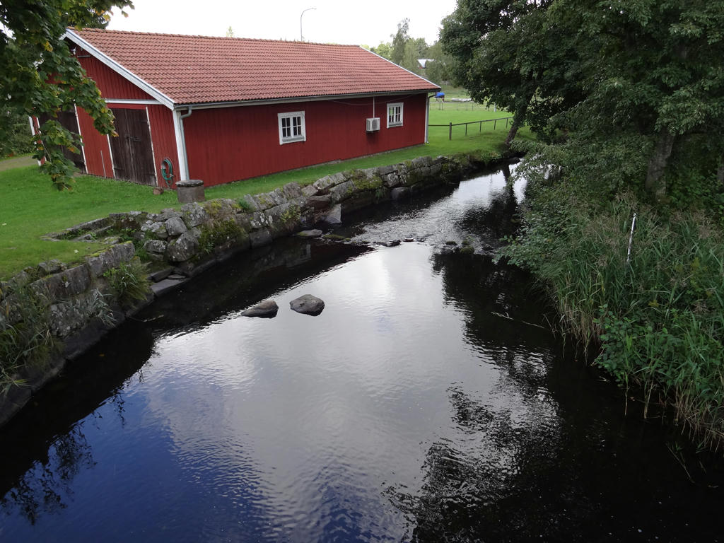
9.
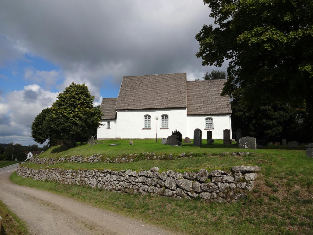
Knätte church.
10.
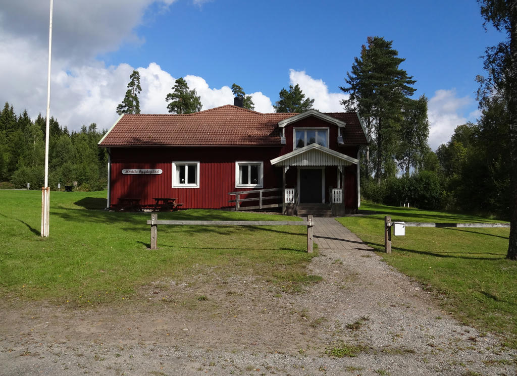
Knätte Bygdegård. Rotated and cropped the photo.
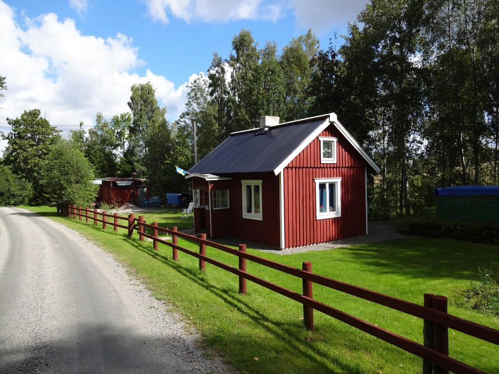
11.
12.
13.
14.
Jogen. For the non-sky parts I increased the brightness first using the curves tool and then the levels tool. Then I rotated and cropped the photo.
15.
Jogen. The cloud formation is nice. Rotated and cropped the photo. Then for the non-sky parts I increased the brightness using the curves tool and levels tool, and also increased the contrast.
16.
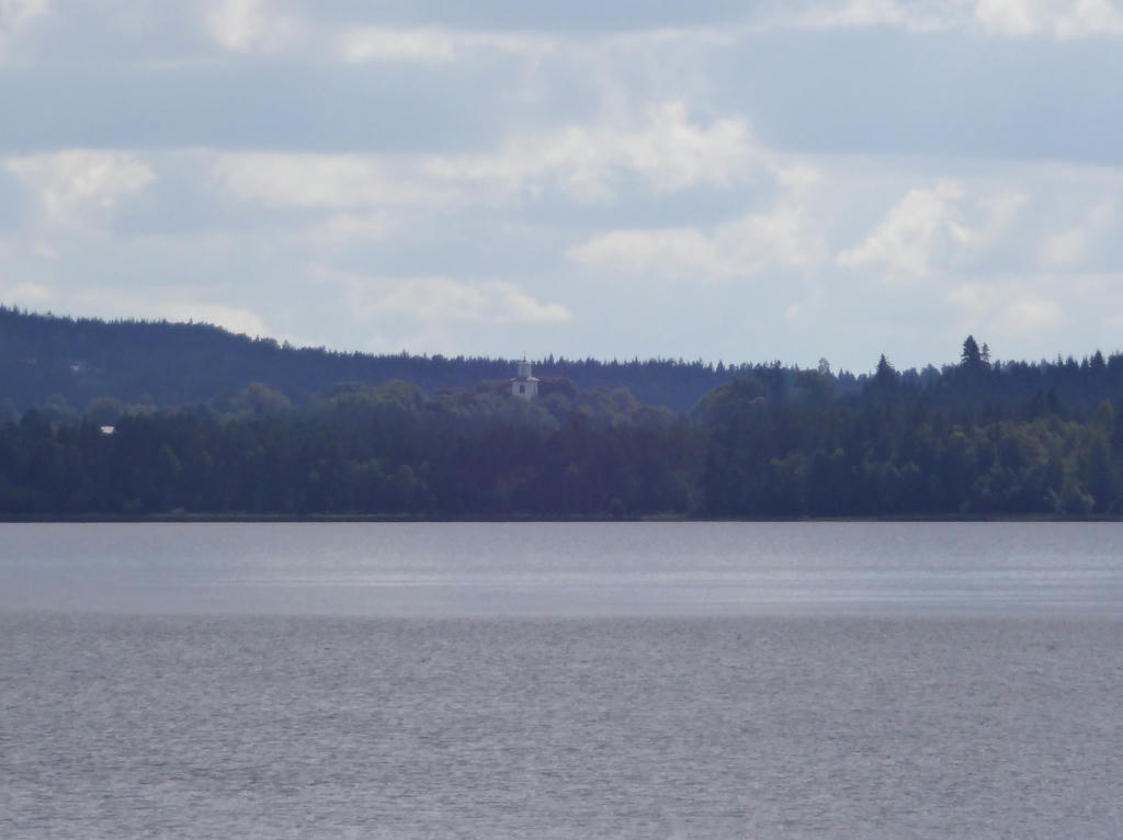
View across the Jogen. Liared church can be seen in the background. Rotated the photo slightly and then cropped it. Then I brightened the photo slightly using the levels tool.
17.
18.
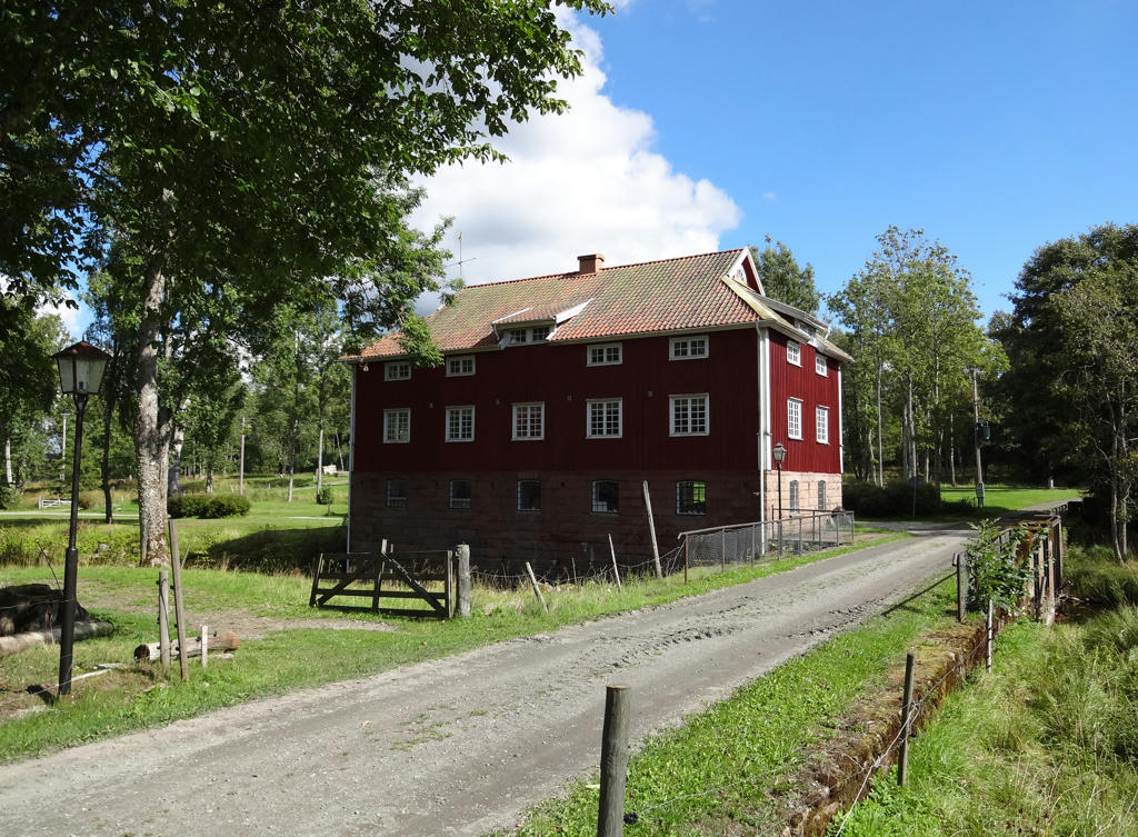
"Årås Mill and STF Youth Hostel
Local heritage museum and youth hostel housed in unique buildings with their own special charm. There is a mill and two annexes in which the youth hostel is located. In summer, a café is open on Sundays, and there is a programme of many other activities."
Rotated and cropped the photo. Also used hue restorer plug-in to make one small part of the sky less cyan-ish.
19.
Vållern
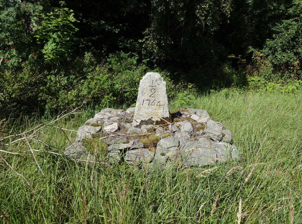
20.
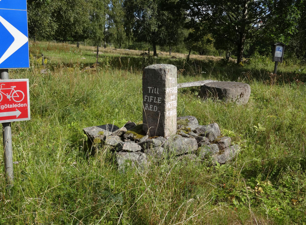
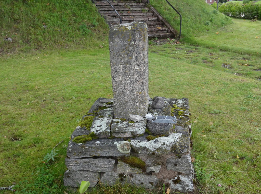
"Stone road markers
There are three types of road markers; mile stones, guide stones and road maintenance stones. These stones are located along roads to show distance, direction and road maintenance. Guide stones were erected at crossroads. These are usually made of granite and cut square. At least a couple of the sides would have arrows and named carved into them."
Rotated and cropped the photo.
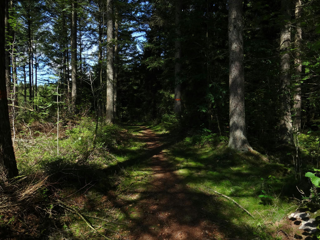
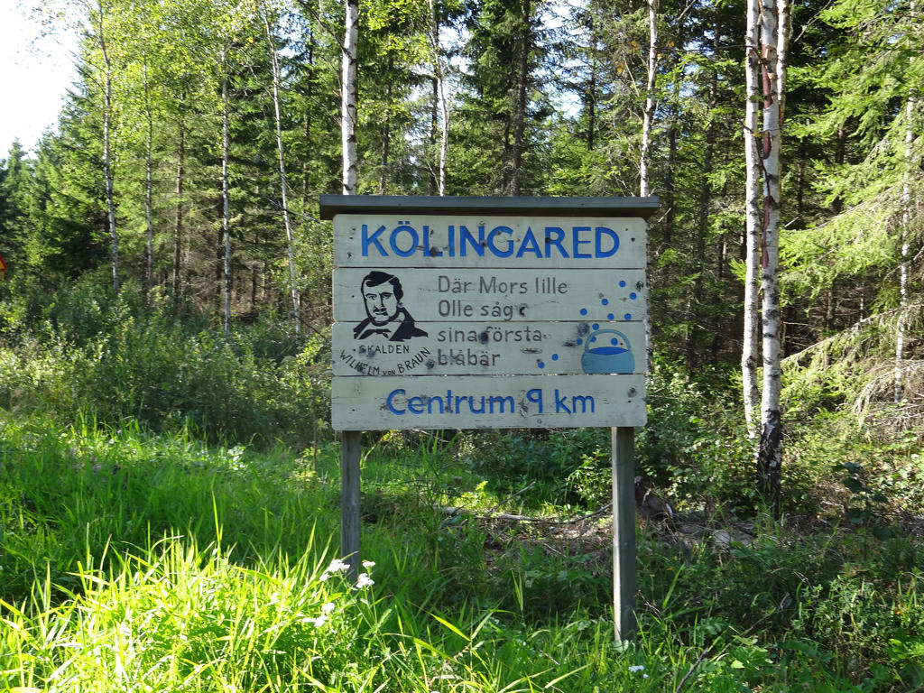
21.
Approaching Kölingared. I really like this photo (the sky is nice and the color combination is nice, in fact when I was looking through the photos from this walk my reaction to this photo was that it's quite epic (maybe a bit silly to think that but nevertheless)). Rotated and cropped the photo.
22.
Kölingared church. Used the hue restorer plug-in to get rid of the slightly cyan-ish parts of the sky. I also brightened the non-sky parts using the levels tool.
23.
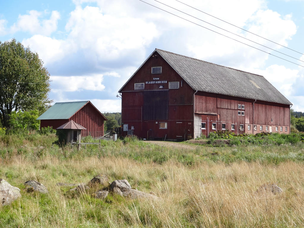
"Ice cream factory
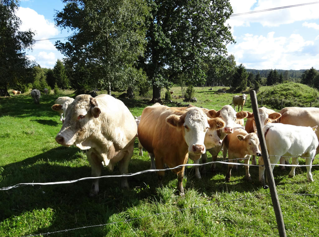
EJ Farm sells homemade ice cream made from milk produced by the neighbour's cows, eggs from the farm's free-range hens and fruit and berries when in season. A small farm shop with ice cream parlour."
Used the hue restorer plug-in to get rid of the cyan-ish sky parts. Also rotated the photo slightly and cropped it.
24.
Used the hue restorer plug-in to get rid of the cyan-ish sky parts. Also rotated and cropped the photo.
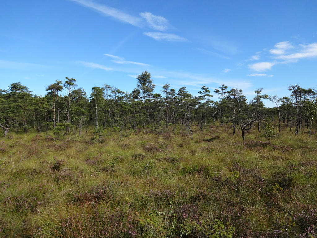
25.
26.
27.
28.
Brängen. Rotated and cropped the photo.
29.
Brängen. Near Brängen I actually got a bit lost. I got distracted and went in the direction of Hiared (south) instead of towards Sandvik (east). When I realized I was going in the wrong direction I ran back to the intersection where I got lost. Rotated and cropped the photo.
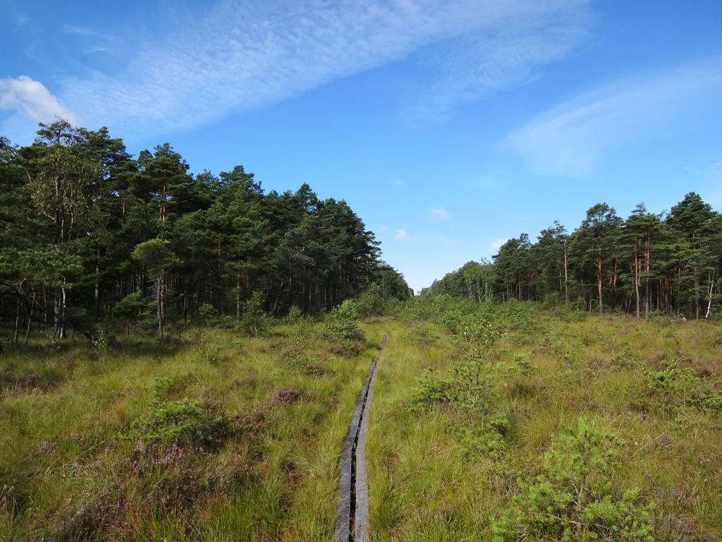
30.
Used the hue restorer plug-in to get rid of the cyan-ish sky parts.
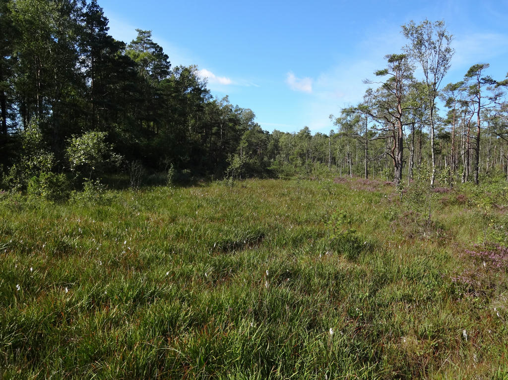
31.
32.
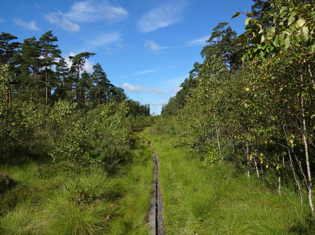
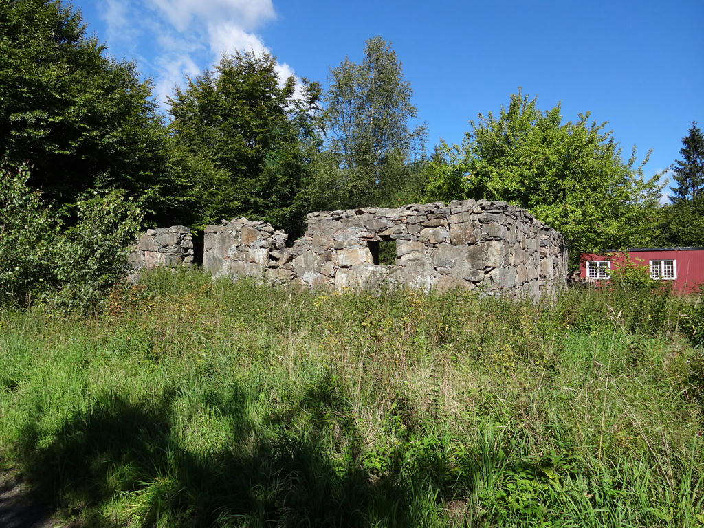
Ersereds Soldattorp (1678-1959). Sharpened the photo using unsharp mask.
33.
"Ryfors
A former iron foundry dating back from 1742, in the ownership of the Sager family for four generations. It has been brought back to life after being mothballed for a long period of time in the 1960s an 1970s. The buildings are again being used. These include the English Villa which is now an excellent hotel, golf and conference facility, a skittle alley which is once again available to players, a dairy which houses the golf course offices, and a power station which has provided the residents of Mullsjö with electricity for almost 100 years."
Used the hue restorer plug-in to get rid of the cyan-ish sky parts.
34.
35.
Sharpened the photo using unsharp mask.
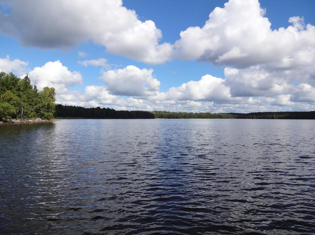
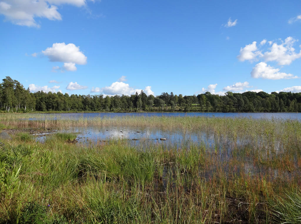
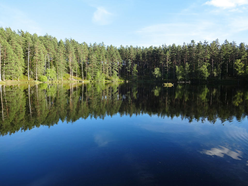
36.
Stråken. Used hue restorer plug-in to get rid of the cyan-ish sky parts.
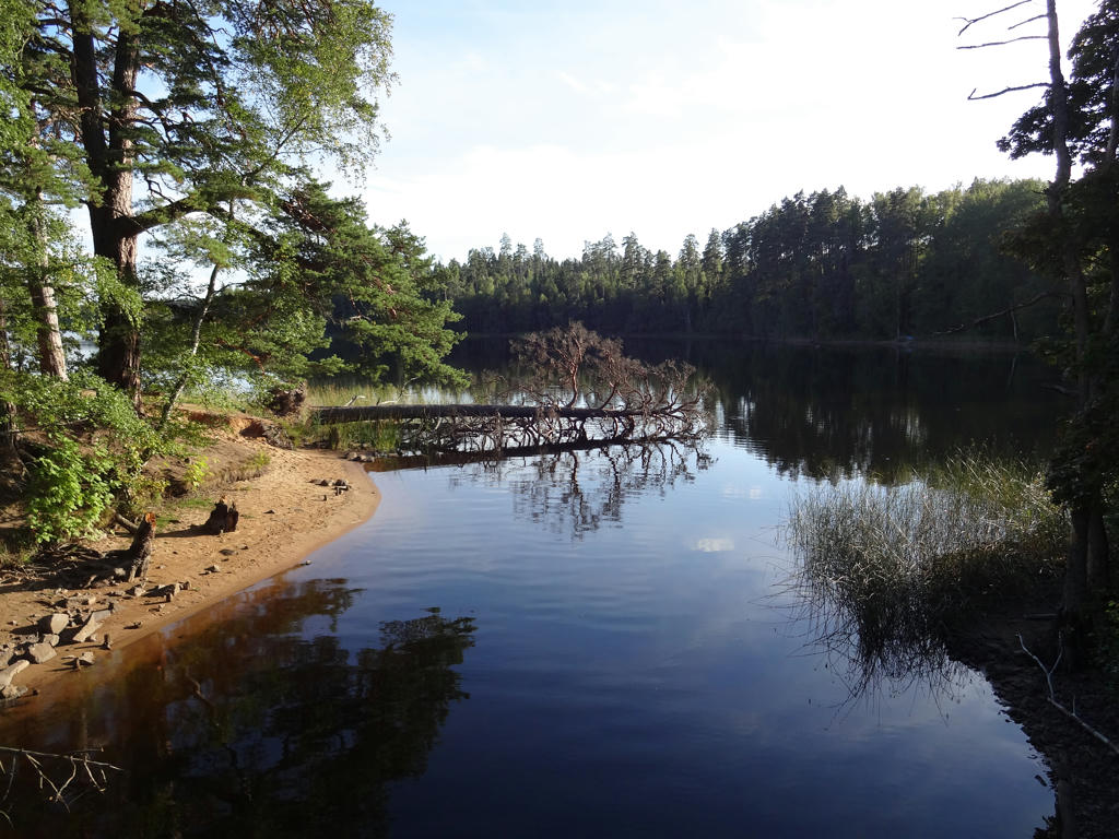
37.
Trollsjön. Used hue restorer to get rid of the cyan-ish sky.
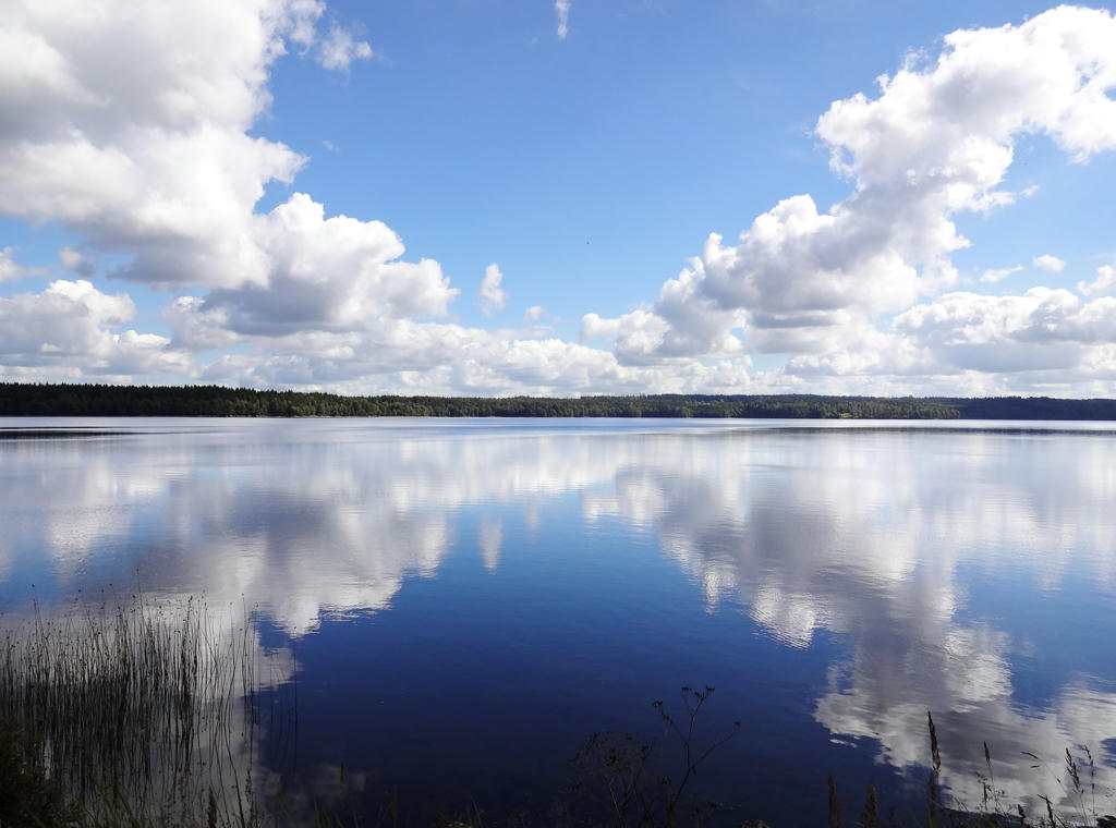
38.
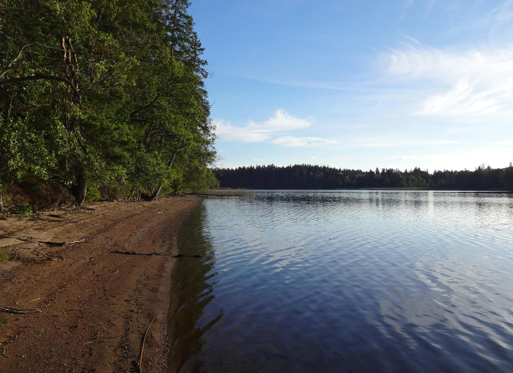
Stråken. Rotated and cropped the photo.
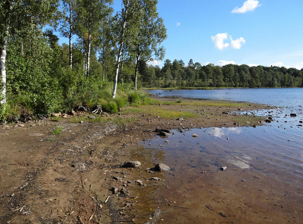
39.
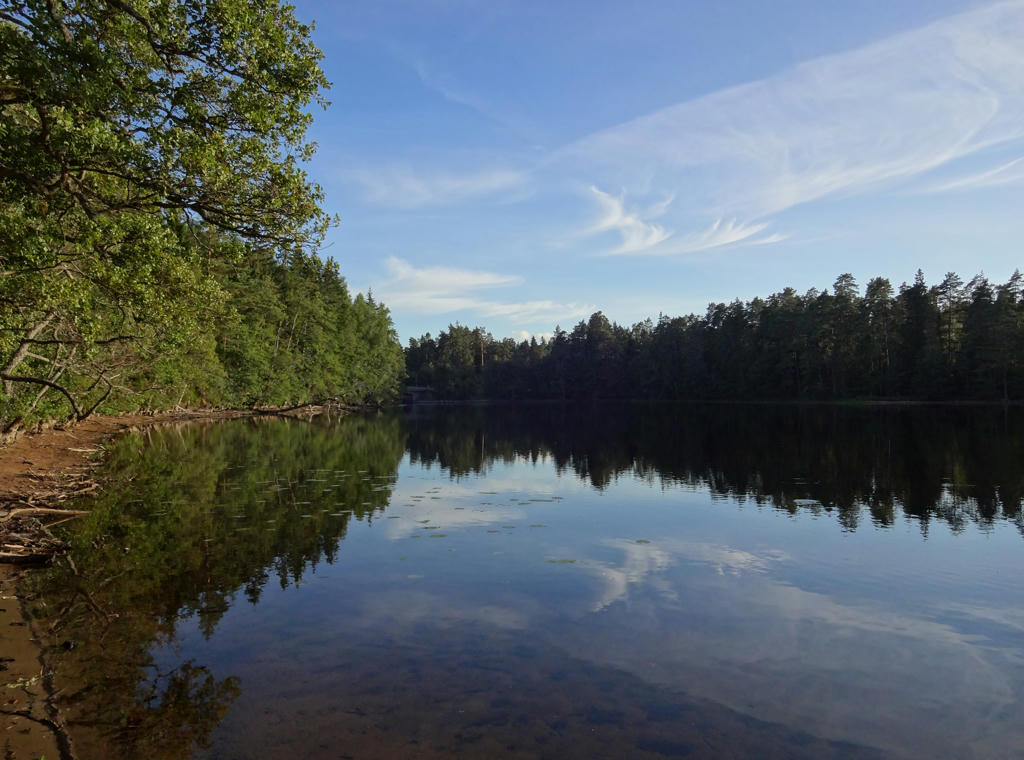
Stråken. Rotated and cropped the photo.
40.
Used hue restorer plug-in to get rid of the cyan-ish sky color.
41.
Rotated and cropped the photo.
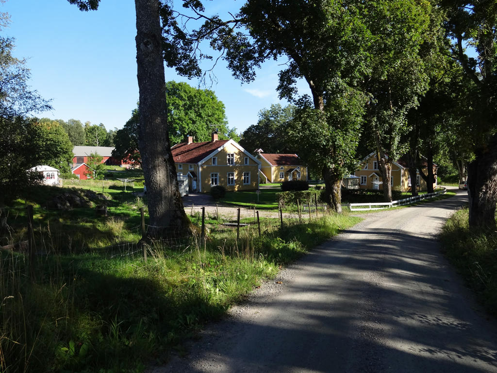
42.
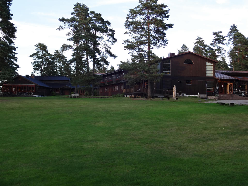
Hotell Mullsjö. Used hue restorer plug-in to get rid of the cyan-ish sky color.
43.
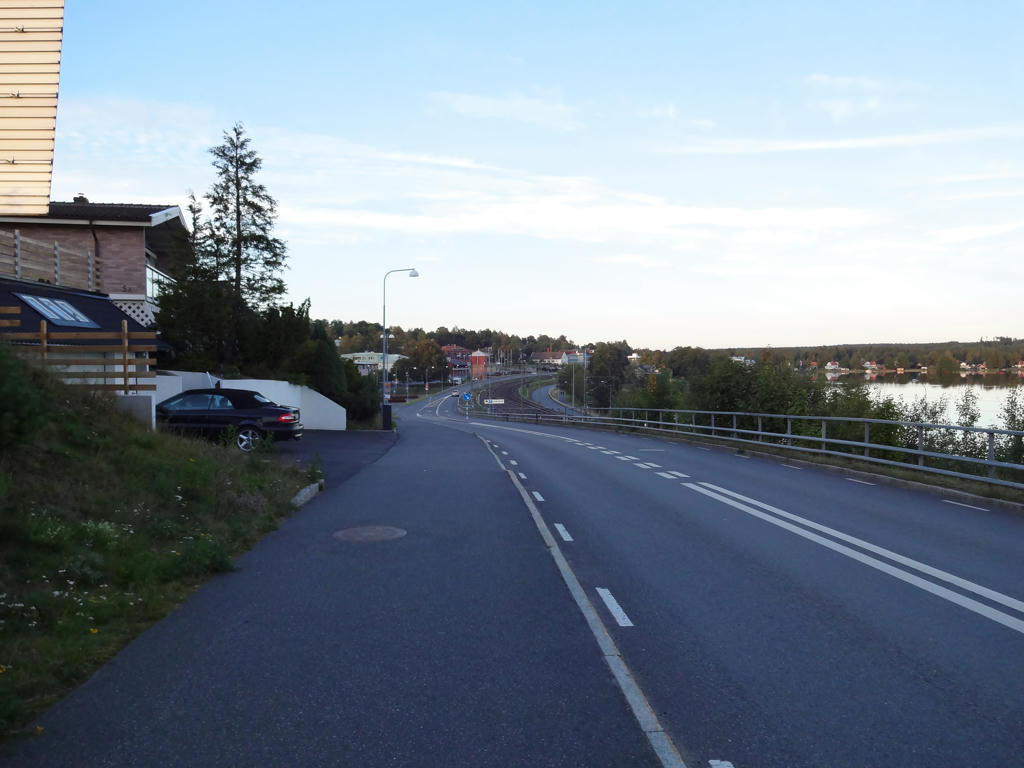
In Mullsjö, not far from the train station. The lake in the background is called Mullsjön. Used hue restorer plug-in to get rid of the cyan-ish sky color.