From Viebäck I walked 4.1km to reach the trail at Nyhagen. Then I walked approximately 21.8km to reach the trail near Lövhult. Finally I walked 0.4km further to reach the Lövhult bus stop. Thus the walk was about 26.3km in total. The duration for the entire walk was 6h24min and therefore my average speed was approximately 4.10km/h (which happens to be almost the same average speed as for Höglandsleden Walk #5 between Åsafors and Skillingaryd). One of the reasons for this relatively high average speed was that I walked fast near the end as I was hoping to make it on time for an earlier bus. However, I was maybe 5 to 10 minutes late for that bus. Instead I ended up waiting for 26 minutes for the next bus.
Speaking of which, the travel back was also quite exhausting. I first took the bus from Lövhult to Nässjö. In Nässjö I was supposed to wait for a train to Göteborg. However, there was some kind of malfunction (in Jönköping if I remember correctly) and buses were used as a substitute for the train but went only to Falköping. In any case, I took the bus but for various reasons the travel took longer time than would be the case when traveling by train and I missed the train I was supposed to switch to in Falköping. Instead I had to wait 41mins for the next train to Göteborg. In total the travel time ended up being 5h12mins, which is only 7mins less than the travel time to Viebäck in the morning. Needless to say this was also exhausting. But what can be said about the walk itself?
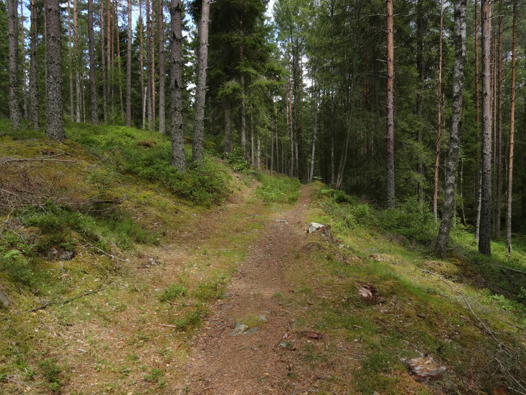
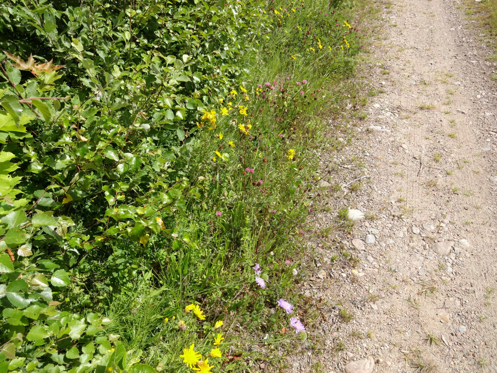
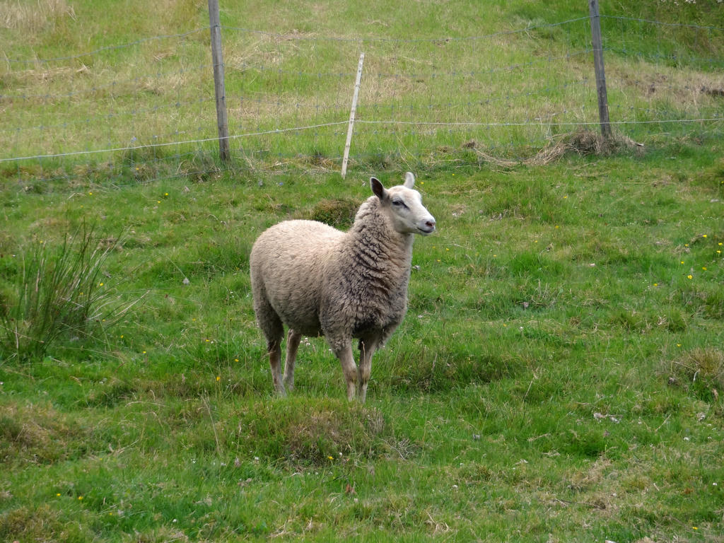
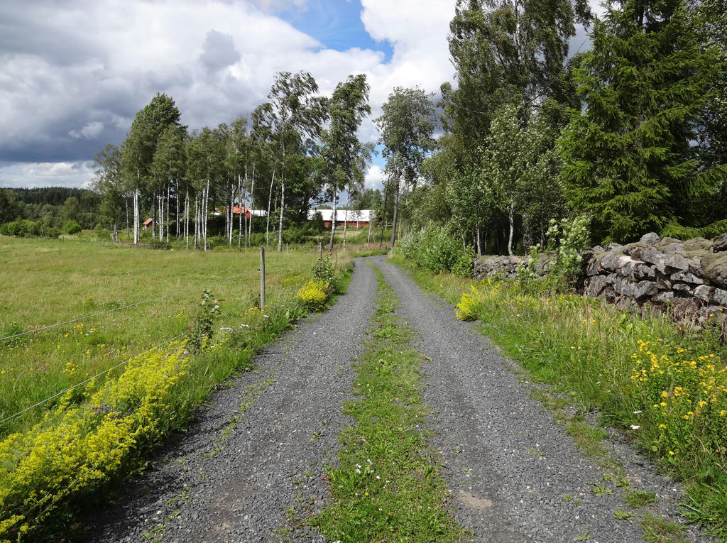
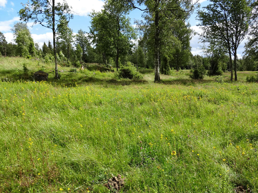
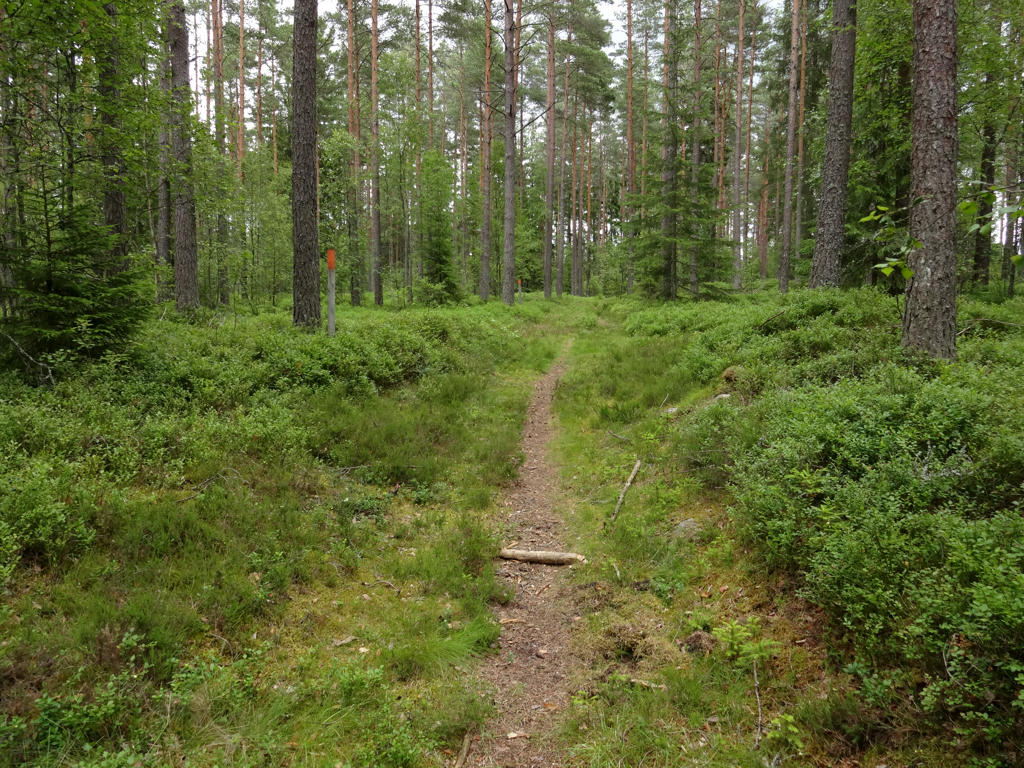
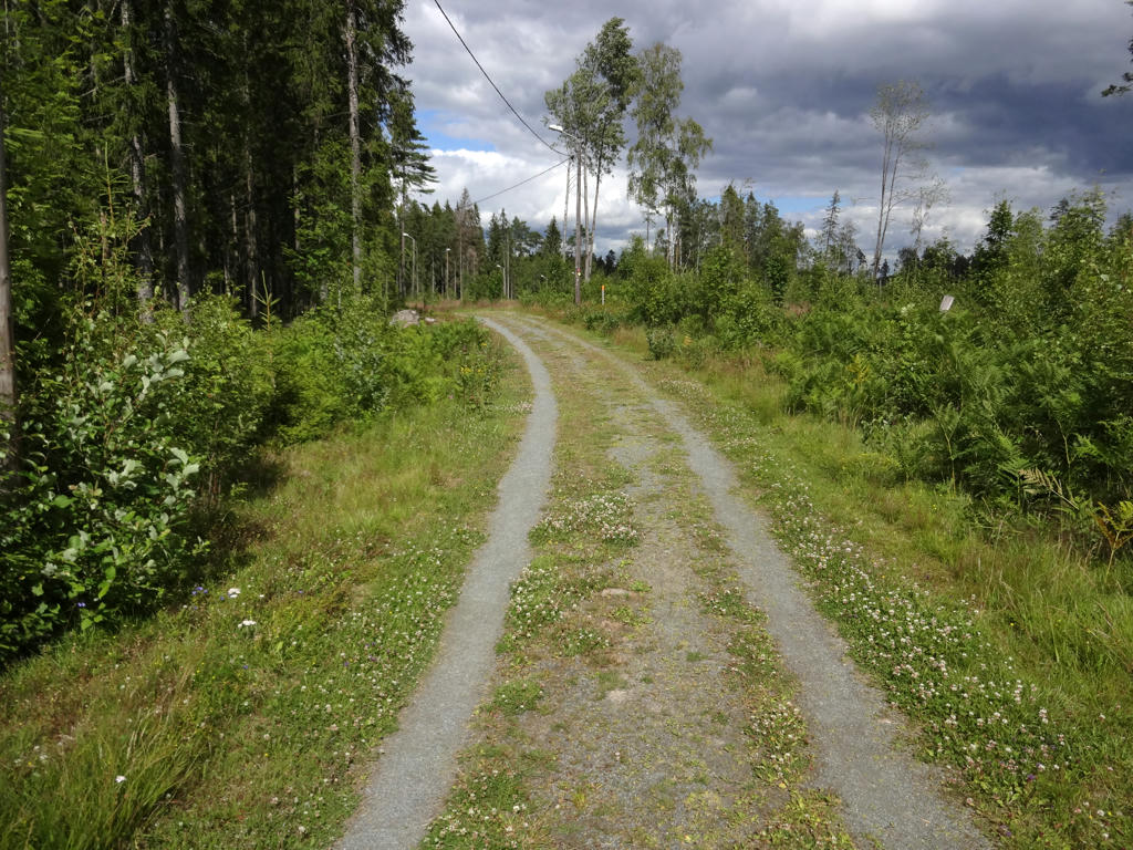
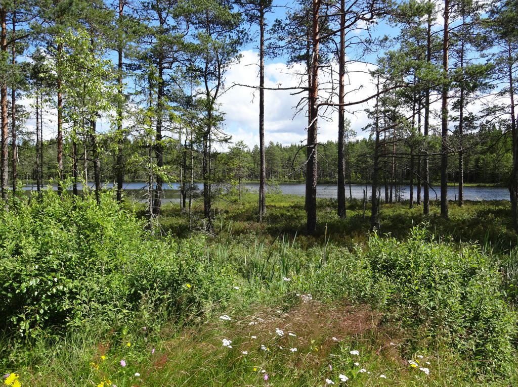
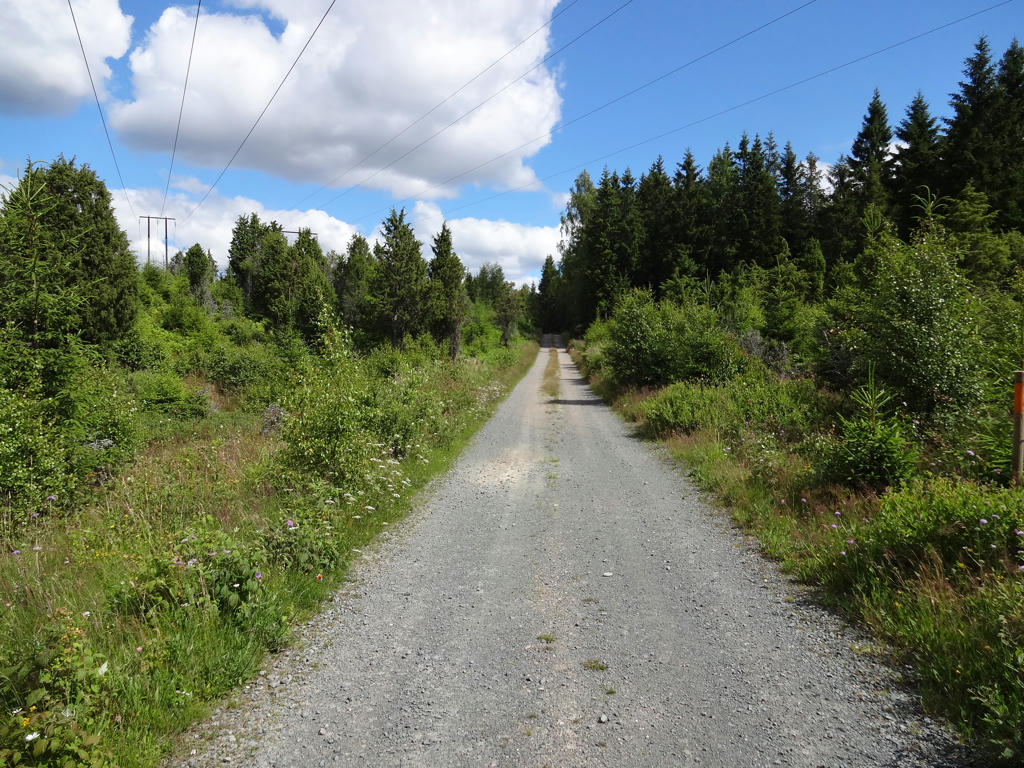
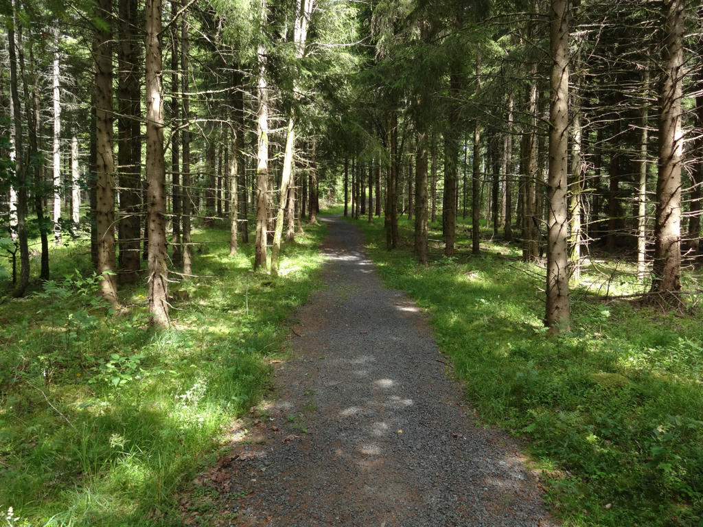
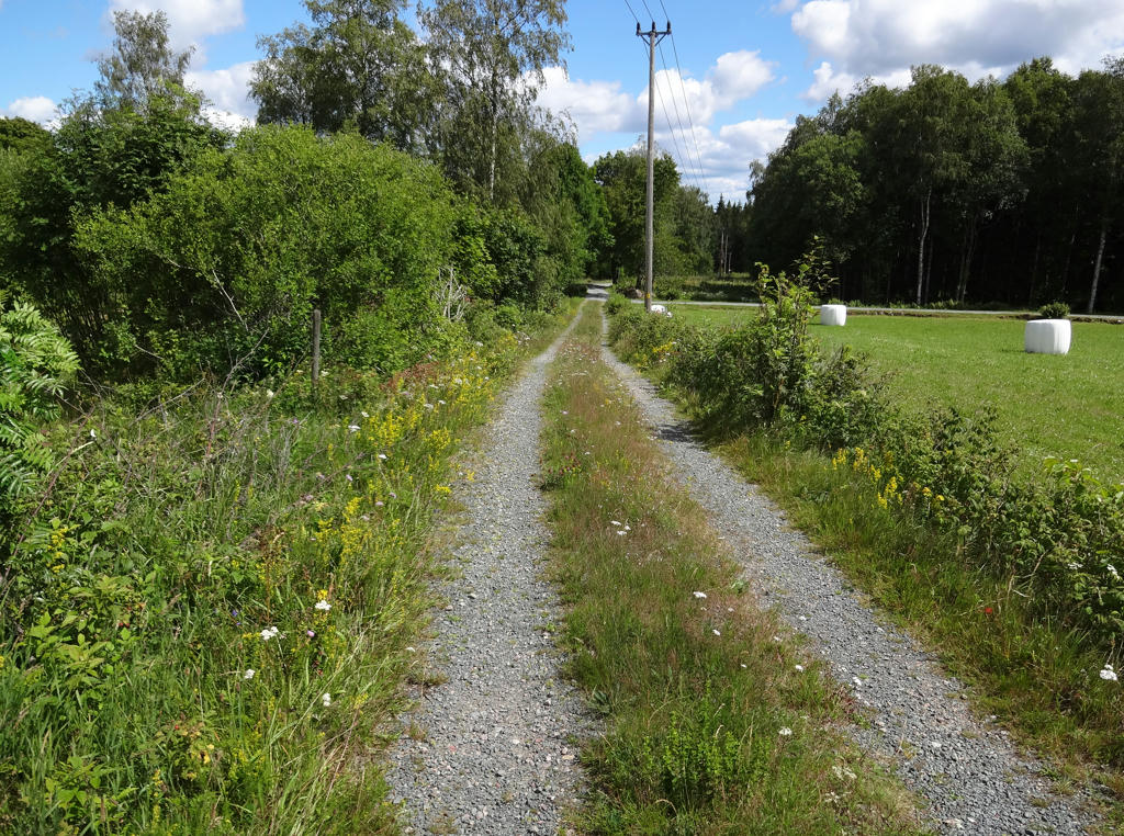
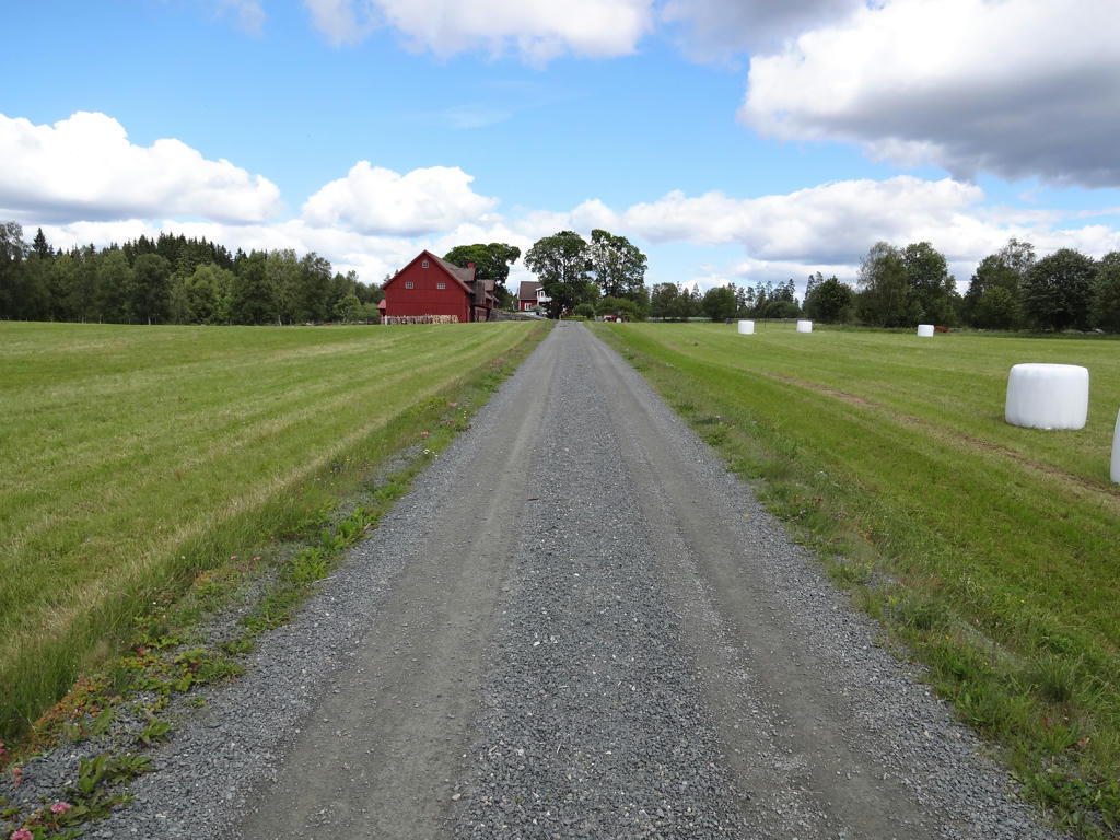
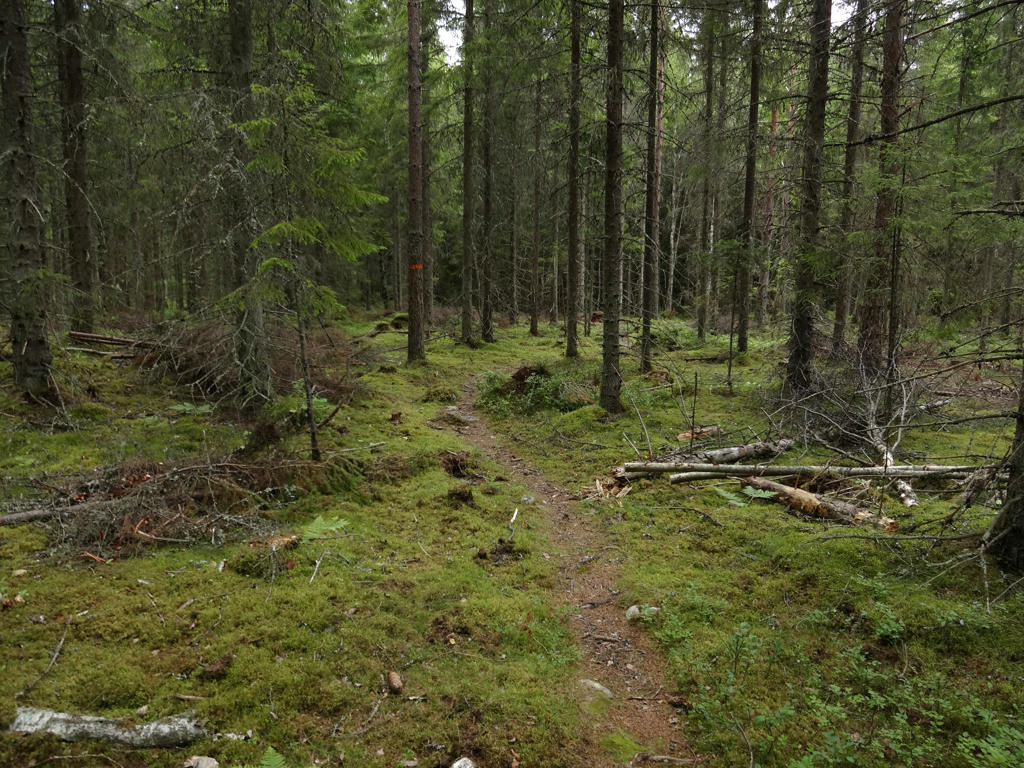
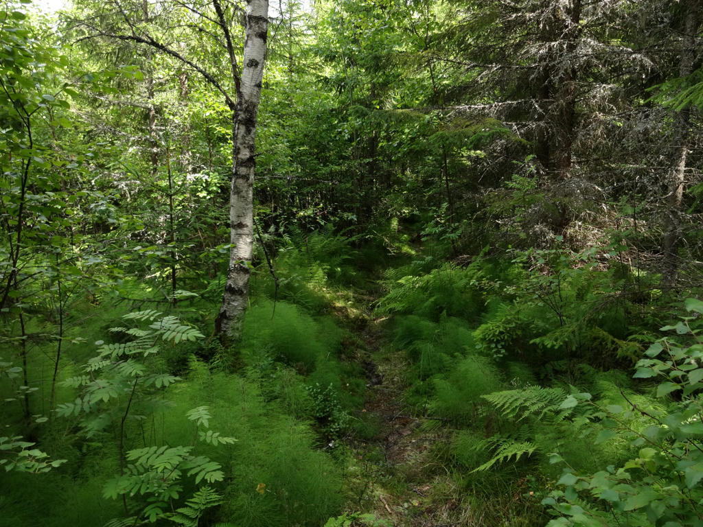
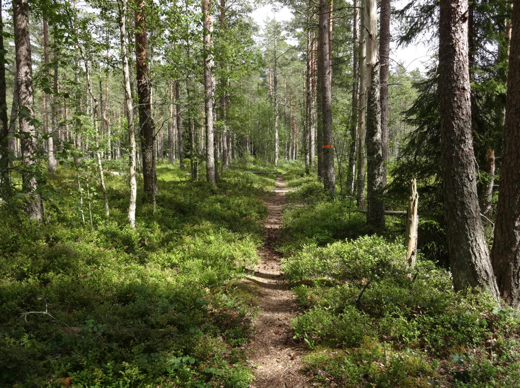
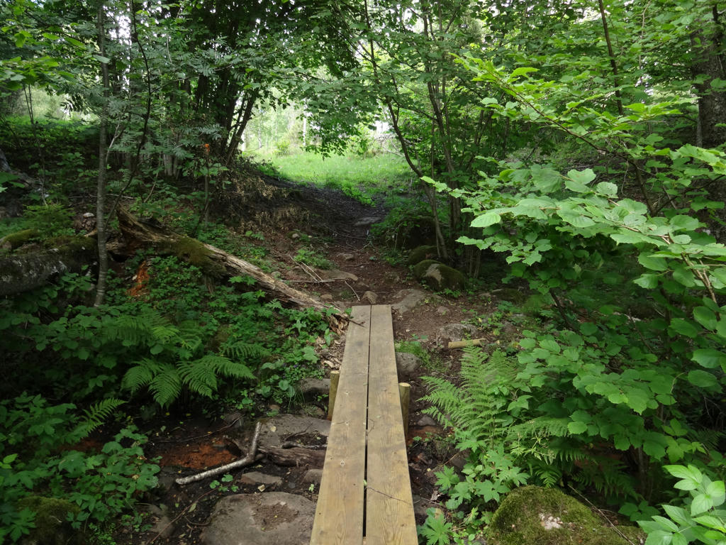
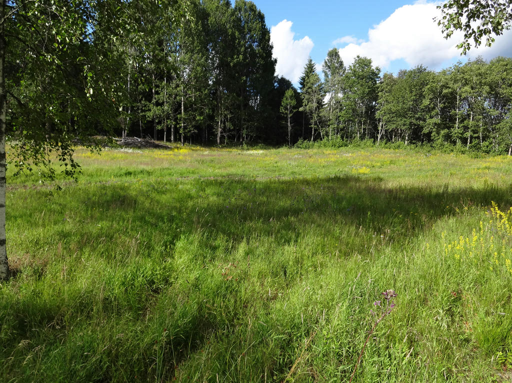
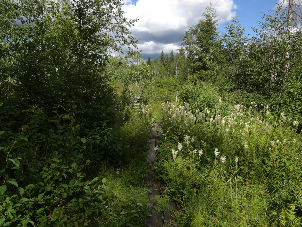
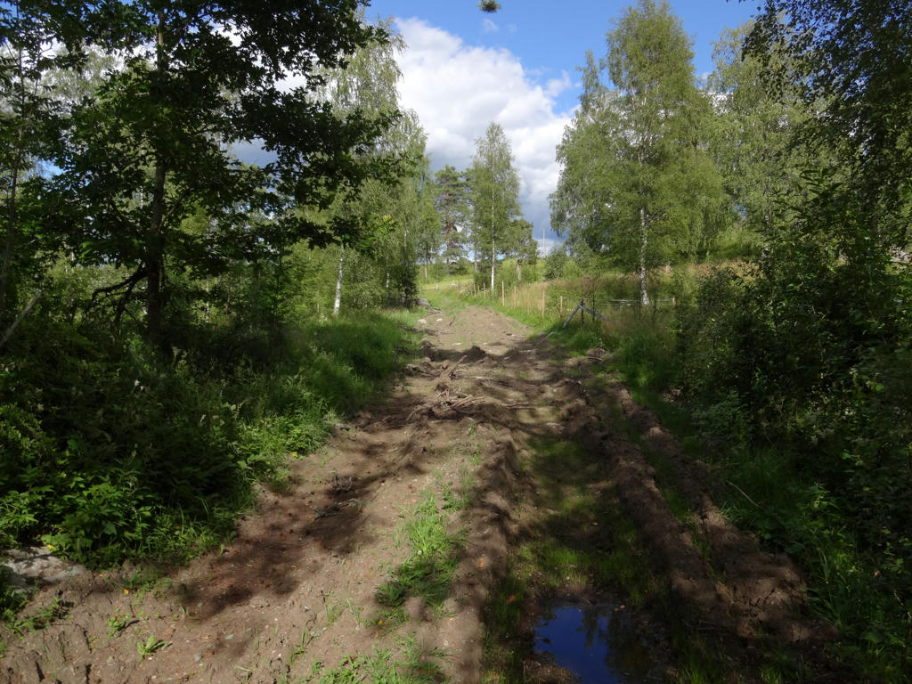
Well, similarly to Höglandsleden Walk #5 between Åsafors and Skillingaryd, the trail goes to a large extent on gravel or tractor roads. Furthermore, the first 4.1km of the walk went on asphalt roads. This is also part of the explanation for my relatively high average speed. The walk goes for the most part through coniferous forests just as was the case with the previous Höglandsleden walk between Åsarfors and Skillingaryd, albeit probably with more mixed forest parts. Similarly to the previous Höglandsleden walk, large parts of the forests are used for forestry but on the other hand some parts of the forests are quite interesting. The trail also goes through some villages, small scale farm land and some meadows. There are only a few lakes or rivers near the trail but there are other points of interest such as Almesåkra church, Huluberget (which has a gazebo tower), Torsa Stenar/Stora Drakaröret and the meadow landscape west of Lövhult.
Overall, the walk had some quite interesting parts but large parts of the trail also goes on gravel or tractor roads through forestry regions (which is somewhat boring). This was possibly the least interesting of the Höglandsleden walks (the exception might be Höglandsleden Walk #5 between Åsafors and Skillingaryd). It's very possible though that the uninteresting quite cloudy weather and the exhaustion from the travel to Viebäck contributed to my somewhat negative view of this walk. However, with that being said, it wasn't that bad, it was still a nice walk.
The photos below mostly show some of the more interesting parts of the walk. Enjoy!
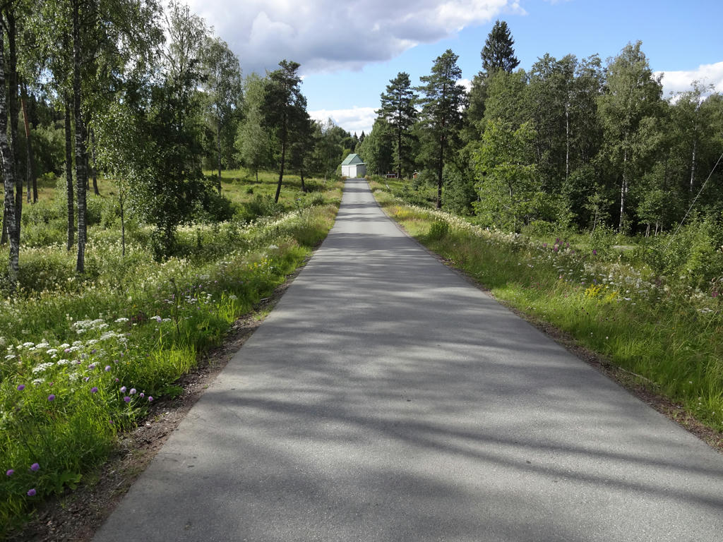
1.
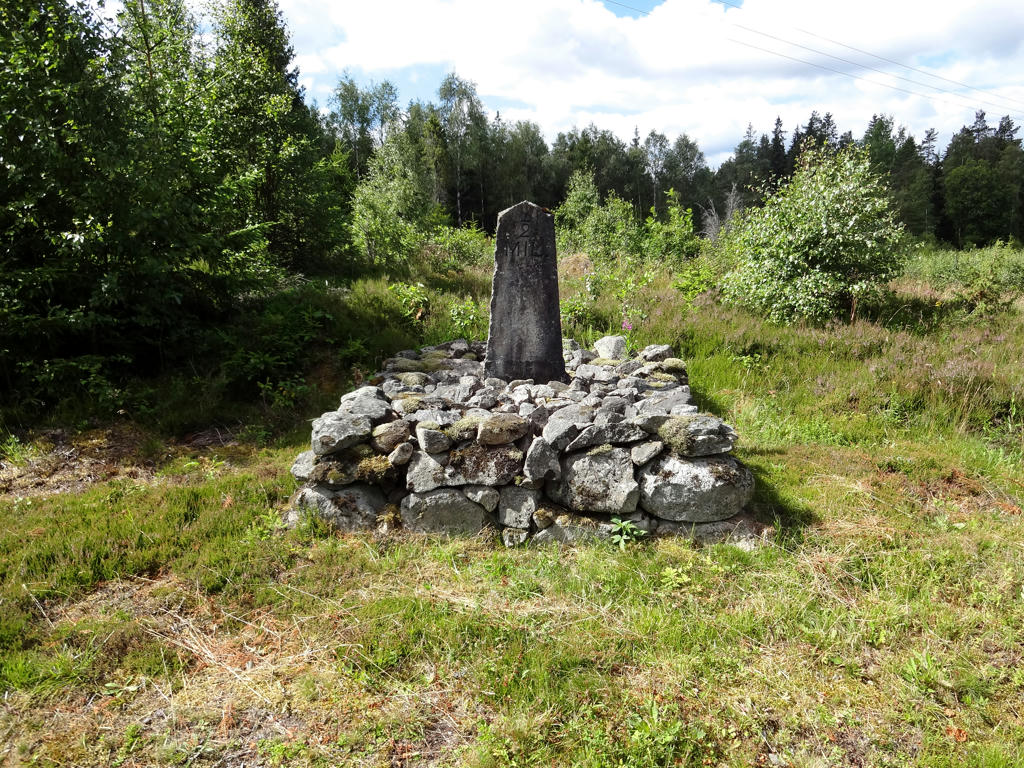
An old milestone. Used the hue restorer plug-in to get rid of the cyan-ish sky color. Also darkened the sky using the levels tool. Also increased the contrast slightly for the non-sky parts using the brightness-contrast tool.
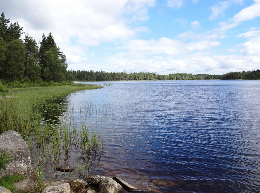
2.
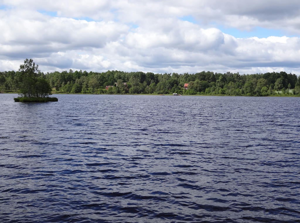
Almesåkrasjön. Rotated the photo slightly and cropped it.
3.
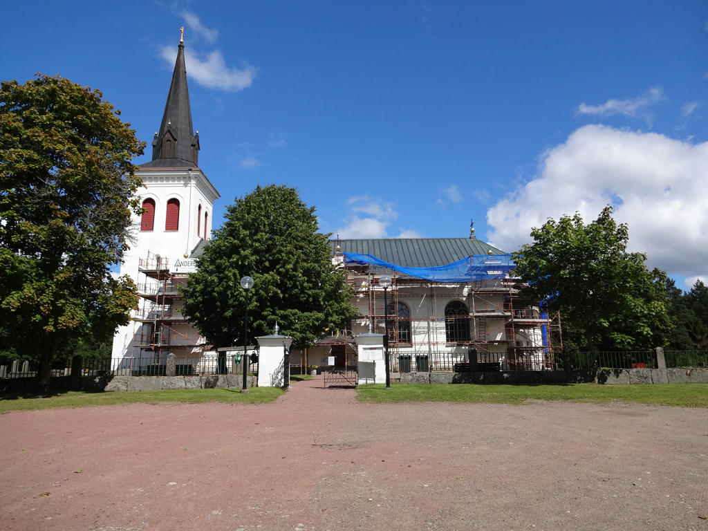
Almesåkra kyrka (Almesåkra church)
4.
Rotated the photo slightly and cropped it.
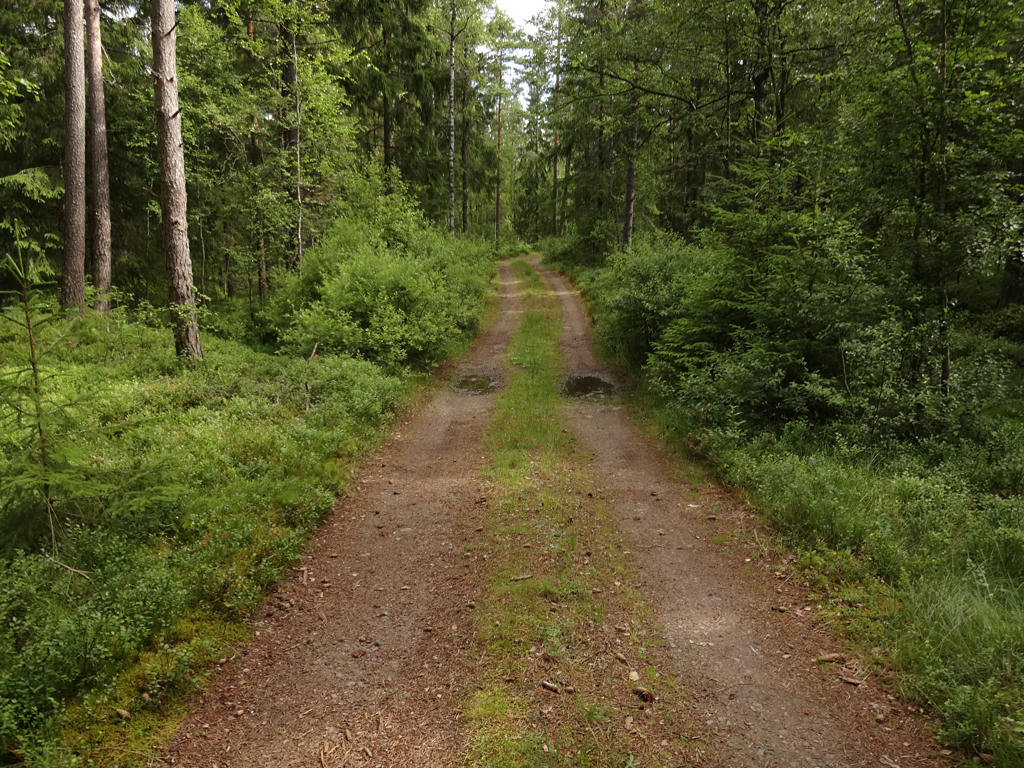
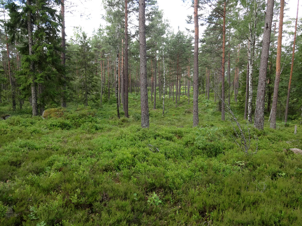
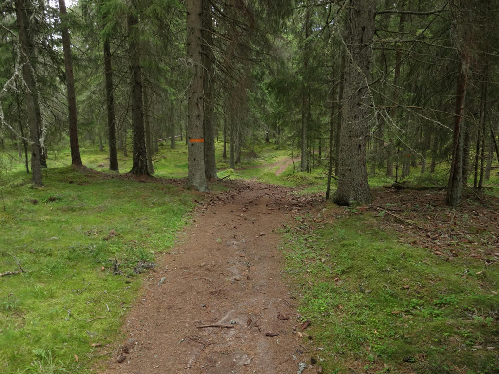
5.
6.
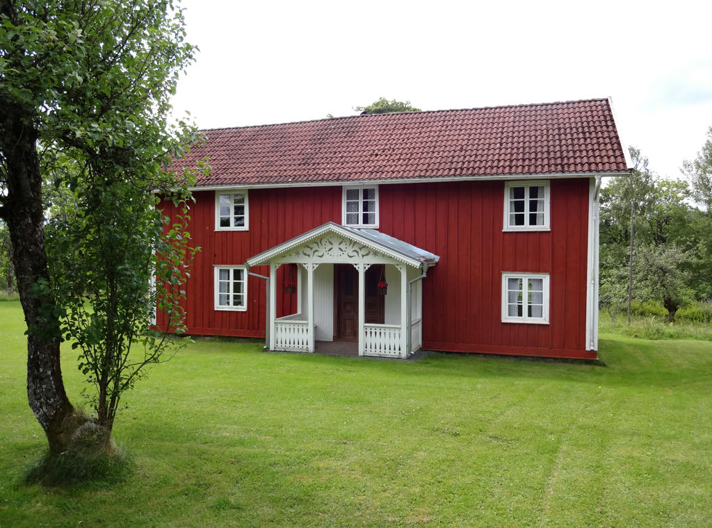
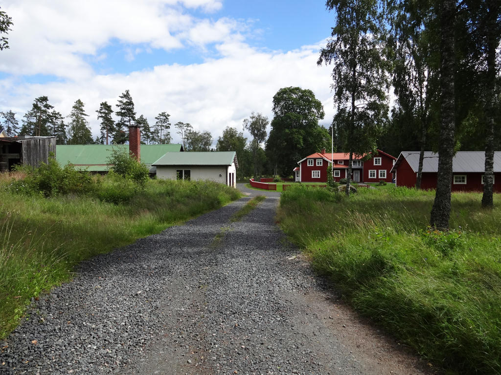
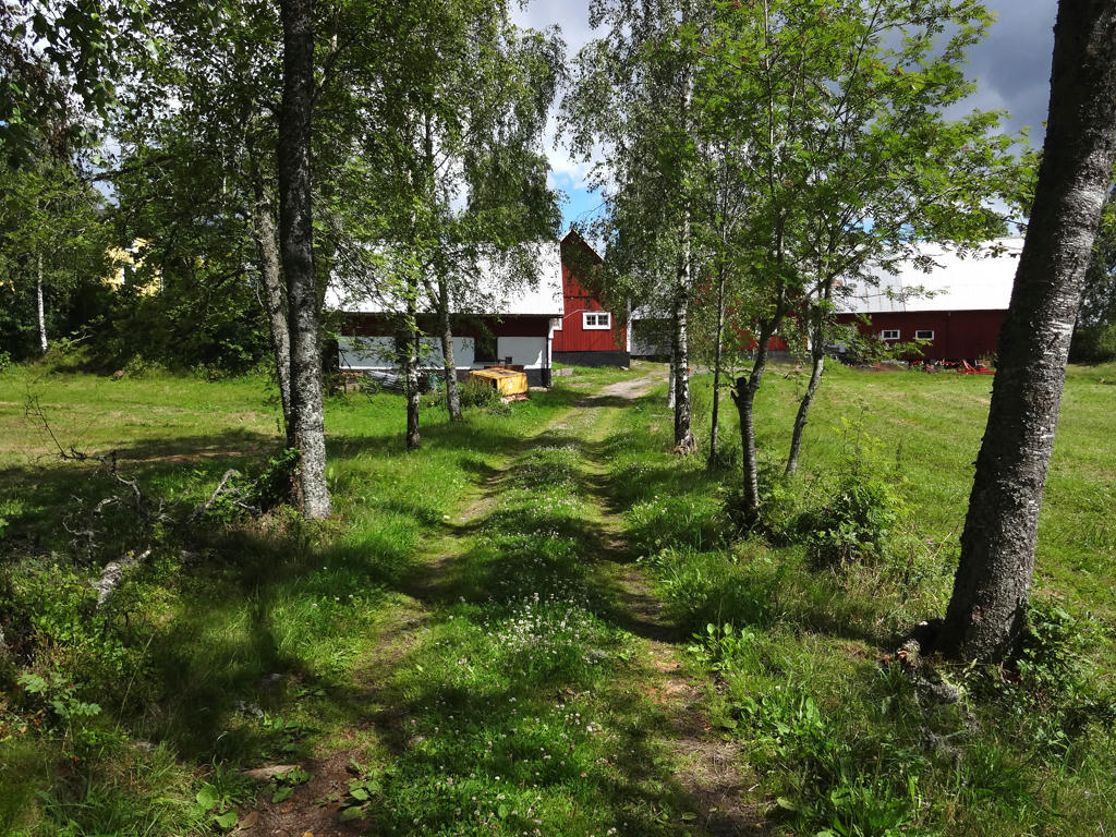
Hembygdsgården (heritage centre) Lilla Gödeberg. Rotated the photo slightly and cropped it. Also increased the contrast slightly using the brightness-contrast tool.
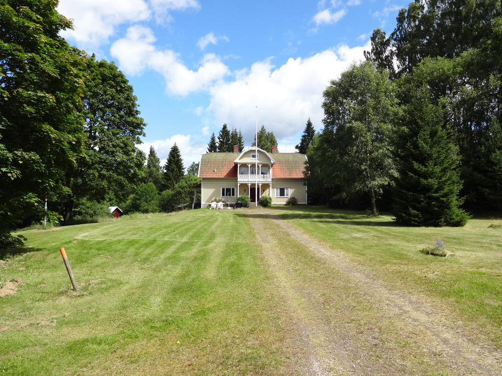
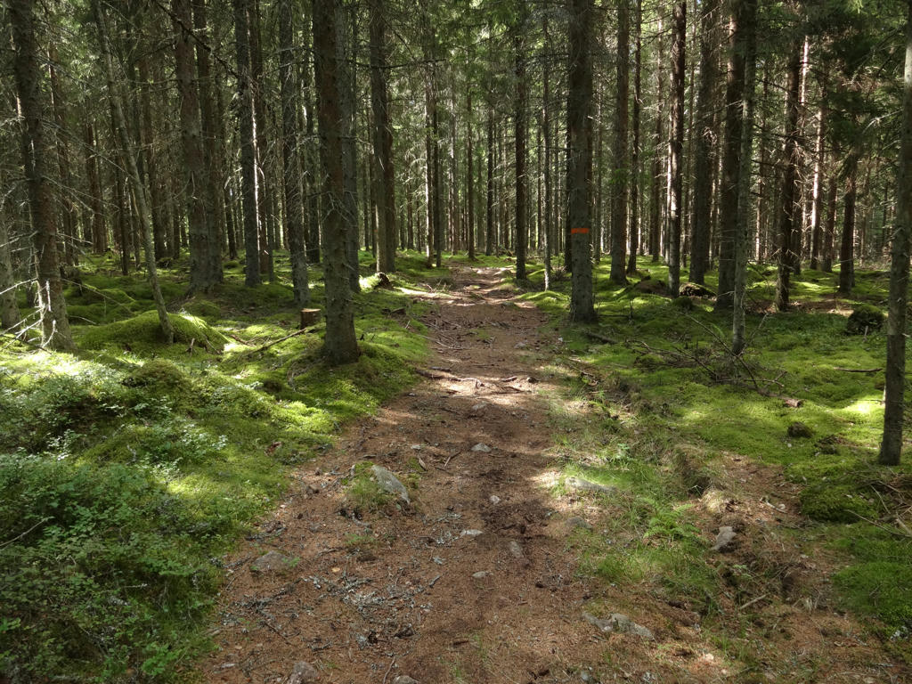
7.
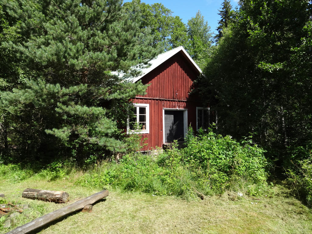
8.
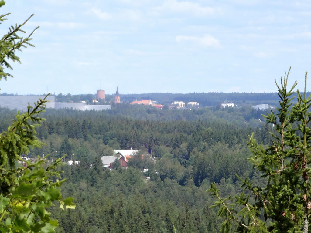
View of Nässjö (including Nässjö stadskyrka (Nässjö town church) and vattentornet (the water tower)) from the gazebo tower at Huluberget. Huluberget is located 364 metres above the sea level and is southern Götaland's second highest location. Increased the contrast slightly using the brightness-contrast tool. Also sharpened the photo slightly using unsharp mask.
9.
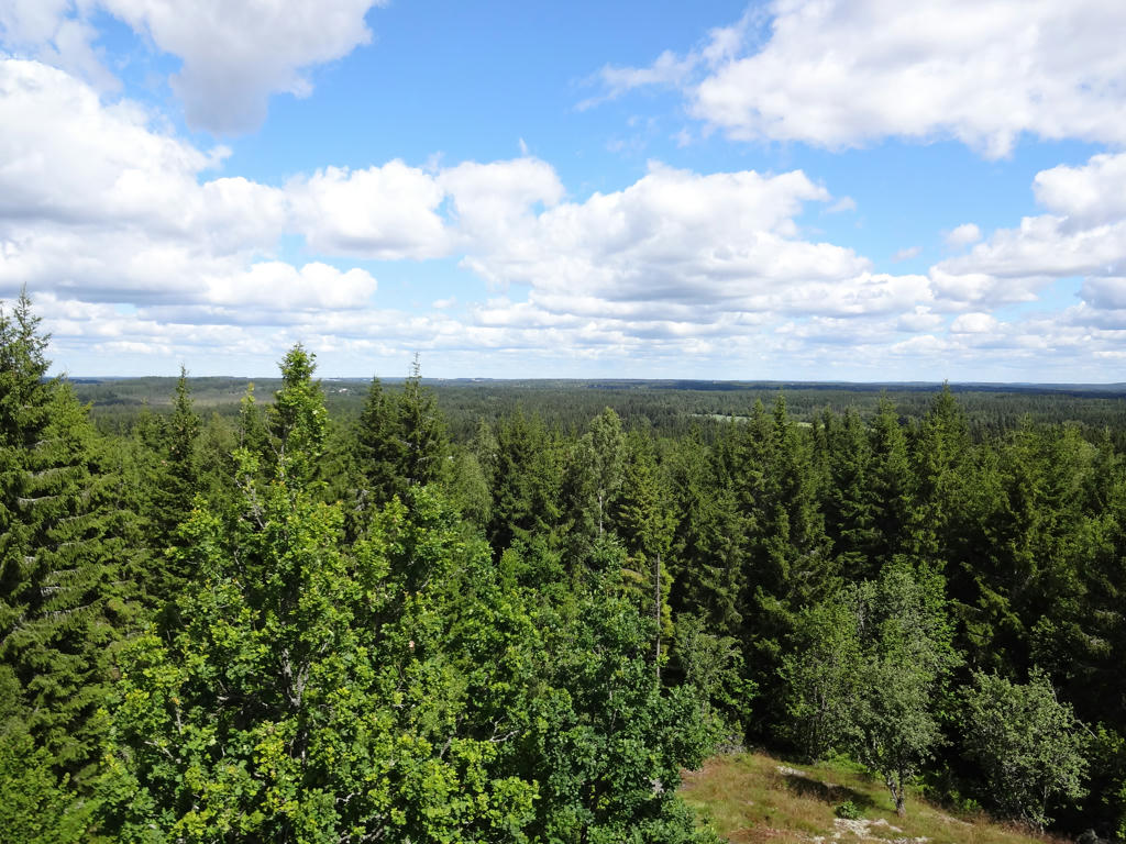
Another view from the gazebo tower at Huluberget. Used the hue restorer plug-in to remove the cyan-ish sky color.
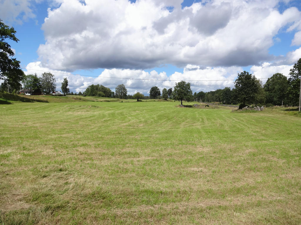
10.
Hulu. Rotated the photo slightly and cropped it.
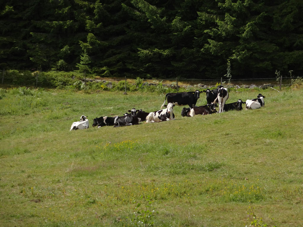
11.
Spjärvälling. Used the hue restorer plug-in to reduce the cyan-ish sky color.
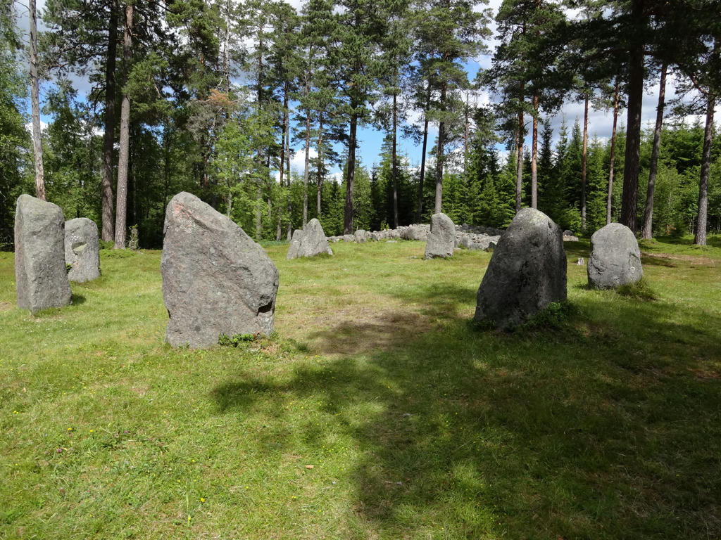
12.
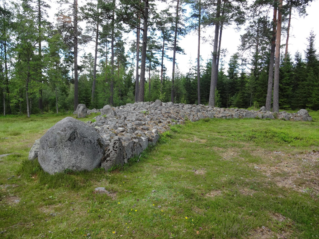
Torsa Stenar/Stora Drakaröret (Big Dragon Cairn)
"On this burial field 12 ancient monuments can be seen, of which most distinct is an uncommon trident. An urn from the 4th century A.D. was found in the large mixed stone circle. The popular name for this burial field was "Big Dragon Cairn"."
"On this burial field 12 ancient monuments can be seen, of which most distinct is an uncommon trident. An urn from the 4th century A.D. was found in the large mixed stone circle. The popular name for this burial field was "Big Dragon Cairn"."
13.
Torsa Stenar/Stora Drakaröret (Big Dragon Cairn). Used the hue restorer plug-in to get rid the cyan-ish sky color. Also darkened the sky using the levels tool. Finally I darkened the non-sky parts slightly using the levels tool.
14.
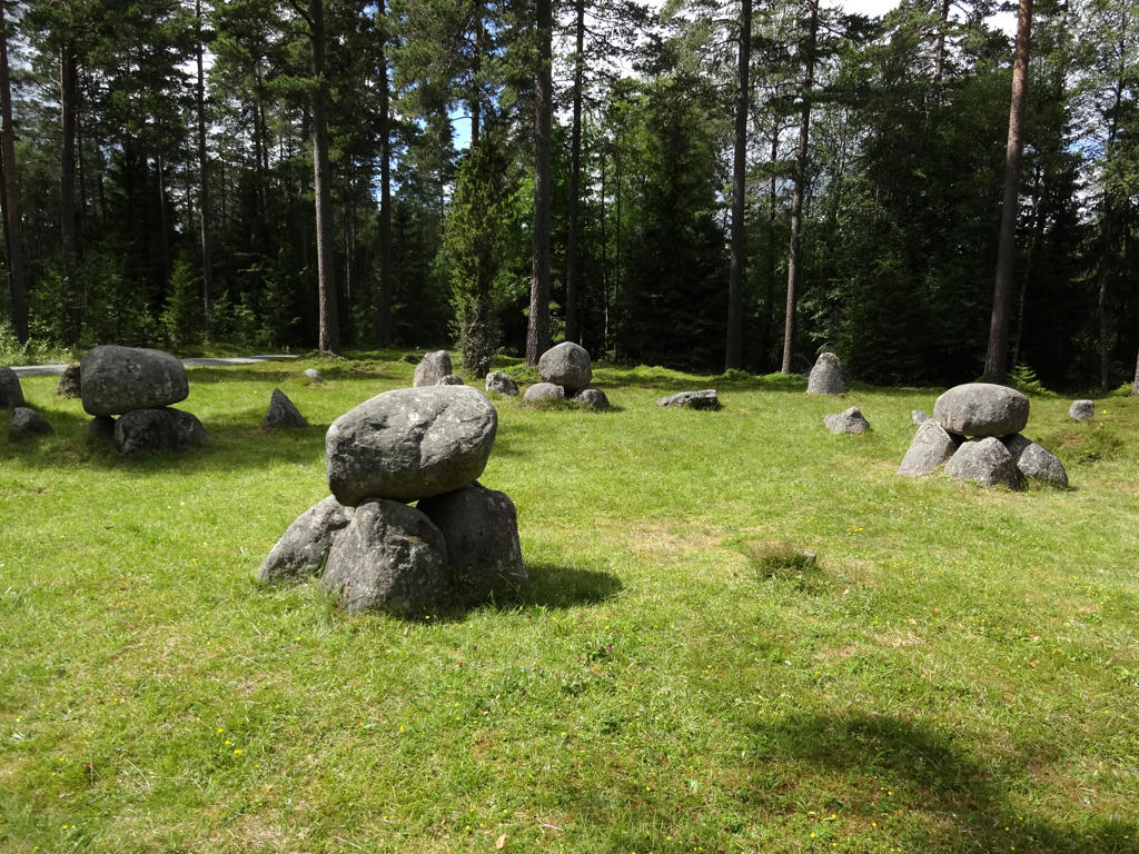
Torsa Stenar/Stora Drakaröret (Big Dragon Cairn). Brightened the photo slightly using the levels tool. Also sharpened the photo slightly using unsharp mask.
15.
Increased the contrast slightly using the brightness-contrast tool. Also brightened the photo slightly using the levels tool. Finally I sharpened the photo slightly using unsharp mask.
16.
Darkened the non-sky parts slightly using the levels tool.
17.
Rotated the photo slightly and cropped it.
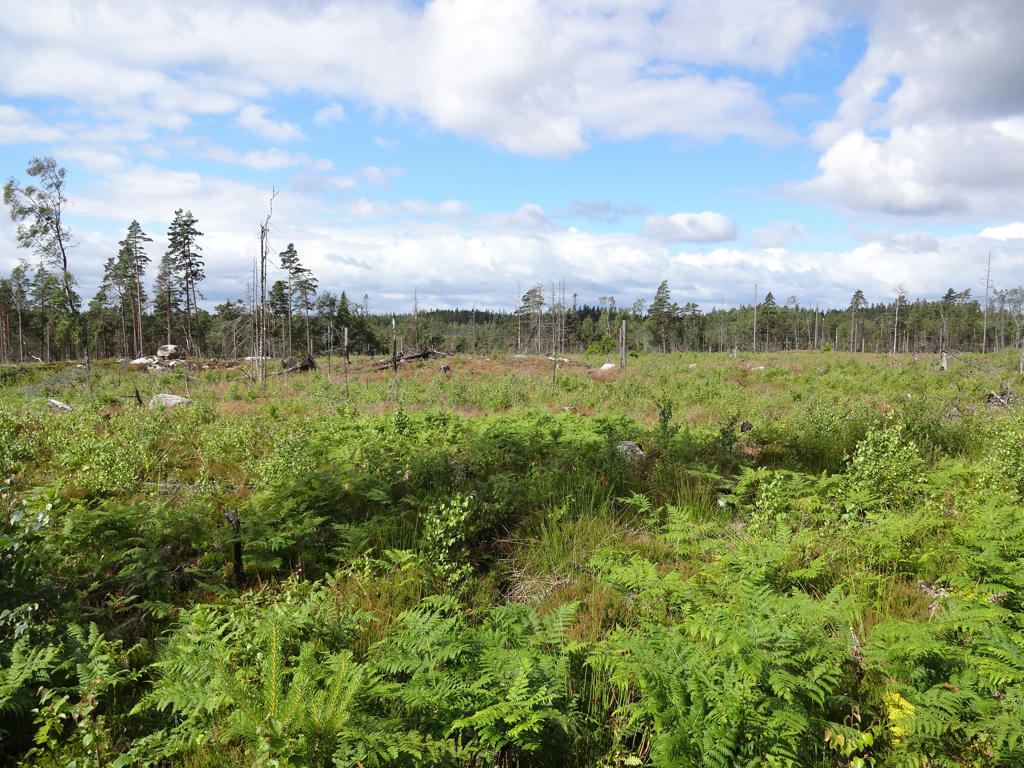
18.
19.
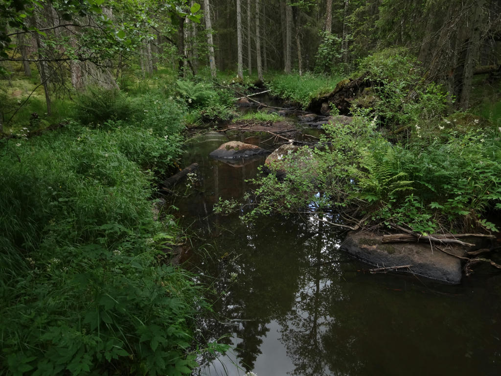
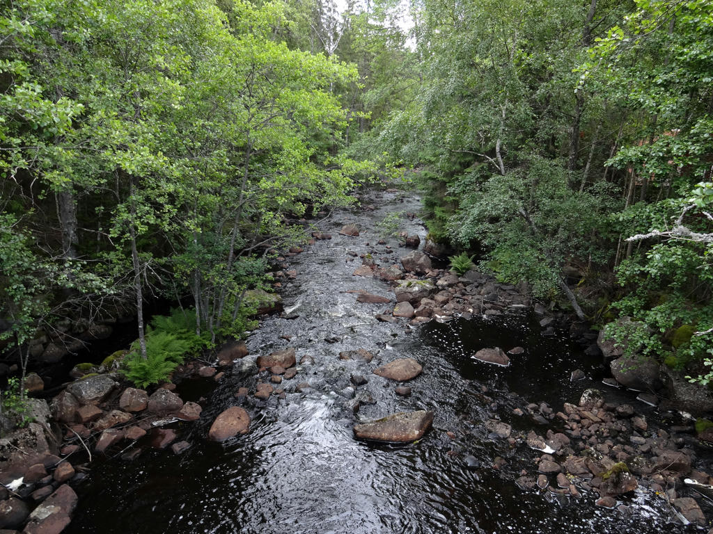
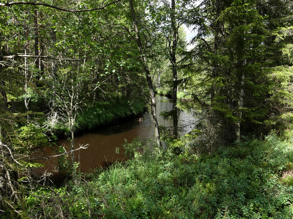
Kvarntorpsån
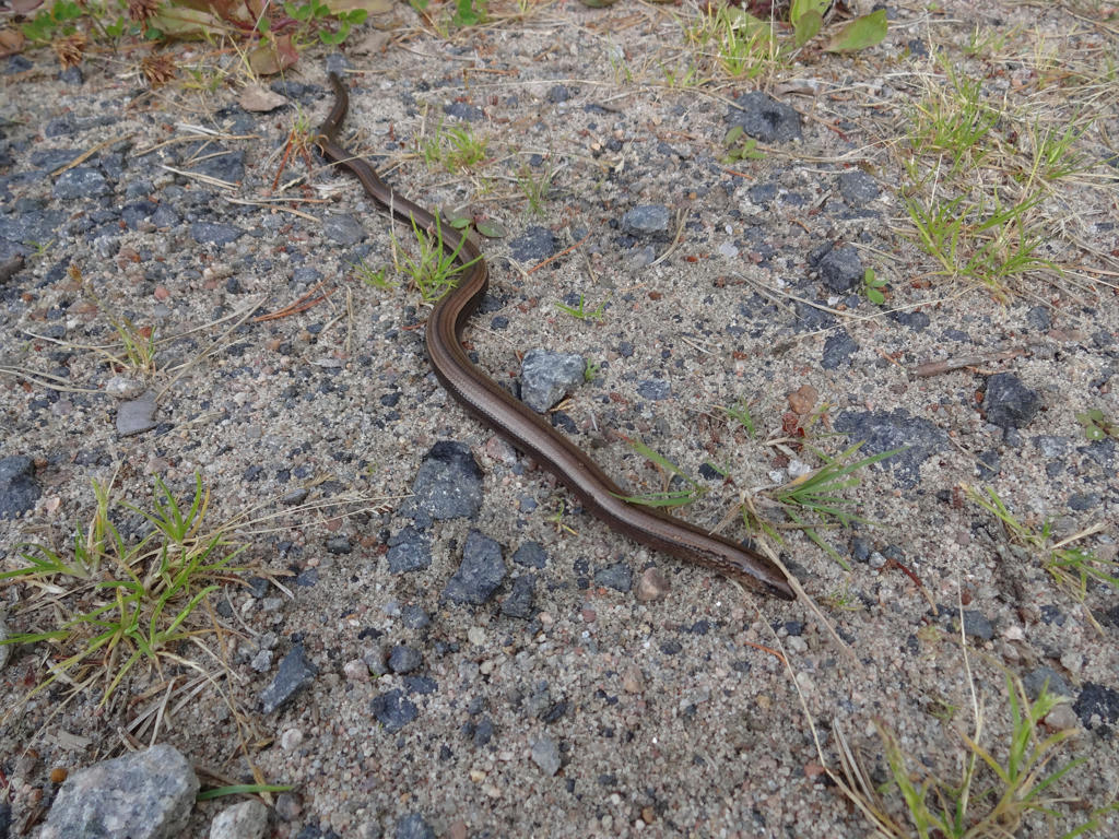
20.
21.
22.
23.
Rotated the photo slightly and cropped it.
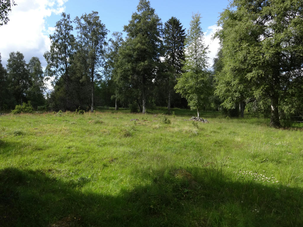
24.
25.
Increased the contrast slightly using the brightness-contrast tool.
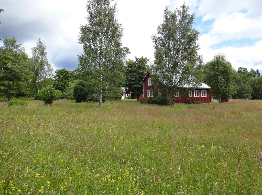
26.
Stackeryd. Used the hue restorer plug-in to get rid of the cyan-ish sky color. Also sharpened the photo slightly using unsharp mask.