It's very likely that I won't go on any more walks this year. I've mentioned in my previous blog post the Bergslagsleden Walk between Ånnaboda and Mogetorp was likely my last walk in 2018 and that it only would be possible to go on more walks if I will be able to borrow my mother's car on Saturdays in October. Well, my mother needed to use her car both Saturday this week and Saturday last week. Now it's still possible that I could go for a walk next Saturday but I think I will skip it even if there will be a possibility. If I skip going on a walk next Saturday it's very likely that I will have to wait until sometime in March before going on new walks. In March there will hopefully not be any snow (it's obviously possible to go on walks when there is snow on the ground but it's more tricky) and the days will be long enough (especially on March 31st 2019 when daylight savings happen and the clock is moved 1 hour forward, meaning that the the sunset will be one hour later).
So, how did the walks in 2018 go? Well, as my statistics show I only went on 7 walks in 2018 (compare that to 34 walks in 2016 and 41 walks in 2017!). Out of the 7 walks, 4 were Bohusleden walks, 2 were Östgötaleden walks and 1 was a Bergslagsleden walk. My total distance in 2018 was only 179km, compared to 1115.4km in 2017 and 808.7km in 2016. I was neither able to complete Bergslagsleden and Östgötaleden but at least I did complete Bohusleden. Actually I completed the 16 Bohusleden walks roughly within a span of 13 months (the first one taking place June 6th 2017 and the last one taking place on July 9th 2018). Other than that I did quite a lot of planning in the beginning of 2018 and I have all the maps required for finishing both European Long-Distance Path E1 through Sweden and European Long-Distance Path E6 through Sweden. Furthermore I have split up the walks into one day tours based on the availability of public transport. In either case, the remaining parts of the European Long-Distance Paths through Sweden can be seen on the map I've posted in my 2017 Summary.
But why did I go on so few walks this year? Well, it's a combination of several factors. From the middle of December 2017 to the end of July 2018 I did my master's thesis (well, it was pretty much completed by the end of June but a few administration issues had to be sorted out before it could get approved). Things got really intense near the end, especially in May and the first half of June. I was really busy with my master's thesis at that point and didn't have time to think about much else (needless to say I'm very glad to be done with university and not have to deal with the irregular schedules and sometimes insane amounts of workload, university can really mess with you). However, that was far from the only issue. In the beginning of the year there was another issue: the weather. The winter was very long this time. In 2017 the snow and ice was almost entirely gone by the middle of March when I went on the Vättefjällsleden walk. In 2018 on the other hand there was still snow in the beginning of April (as you can see in my blog posts for Bohusleden Walk #13: Krokstrand-Strömstad and Bohusleden Walk #14: Vassbotten-Porsås). Because of this I delayed my first walk of the year by almost one month. A much more significant factor that lead to so few walks in 2018 was that I was low on money and simply couldn't afford it. I only started working quite recently and my financial situation will improve greatly but at this point the days are too short in general for walks, especially if there's a significant amount of travel involved in getting to the start point of the walk. Speaking of travel: The remaining parts of European Long-Distance Paths E1 and E6 through Sweden are located quite far from Göteborg (for instance there's roughly 278km to Örebro and roughly 271km to Kisa). This means both that the travel is quite time-consuming and relatively expensive. Public transport in this situation too time-consuming and limiting as I've discussed in my previous blog post and so the only good option is to go by car. The ideal scenario would be to travel by car to a useful location (for instance Örebro or Linköping) and stay at a hostel for a couple of days. This obviously requires having a car available (but I don't have my own car yet) and taking enough time off (but the amount of time off you can take is limited). Anyway, now that I've explained the most of the reasons for going on so few walks in 2018, I will discuss the plans for the future.
As I've previously mentioned, the next walk will probably take place in March 2019 when the days are long enough and the snow is gone. I'm not sure yet what trail I will focus on finishing then but Östgötaleden is the more likely choice since the remaining Östgötaleden segments are for the most part shorter than the remaining Bergslagsleden segments (which are more suited for dealing with during summer). At this point I don't have much of a plan to be honest. I will see what the future will bring.
söndag 14 oktober 2018
söndag 30 september 2018
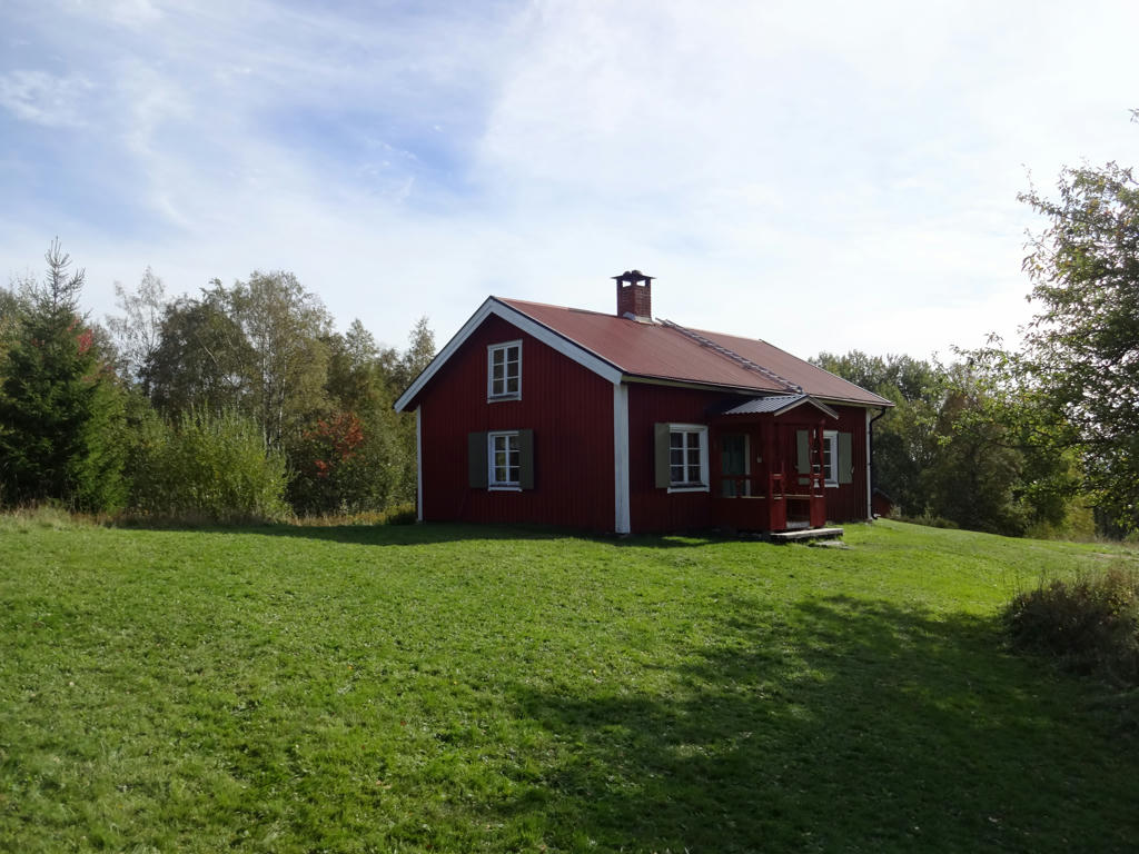
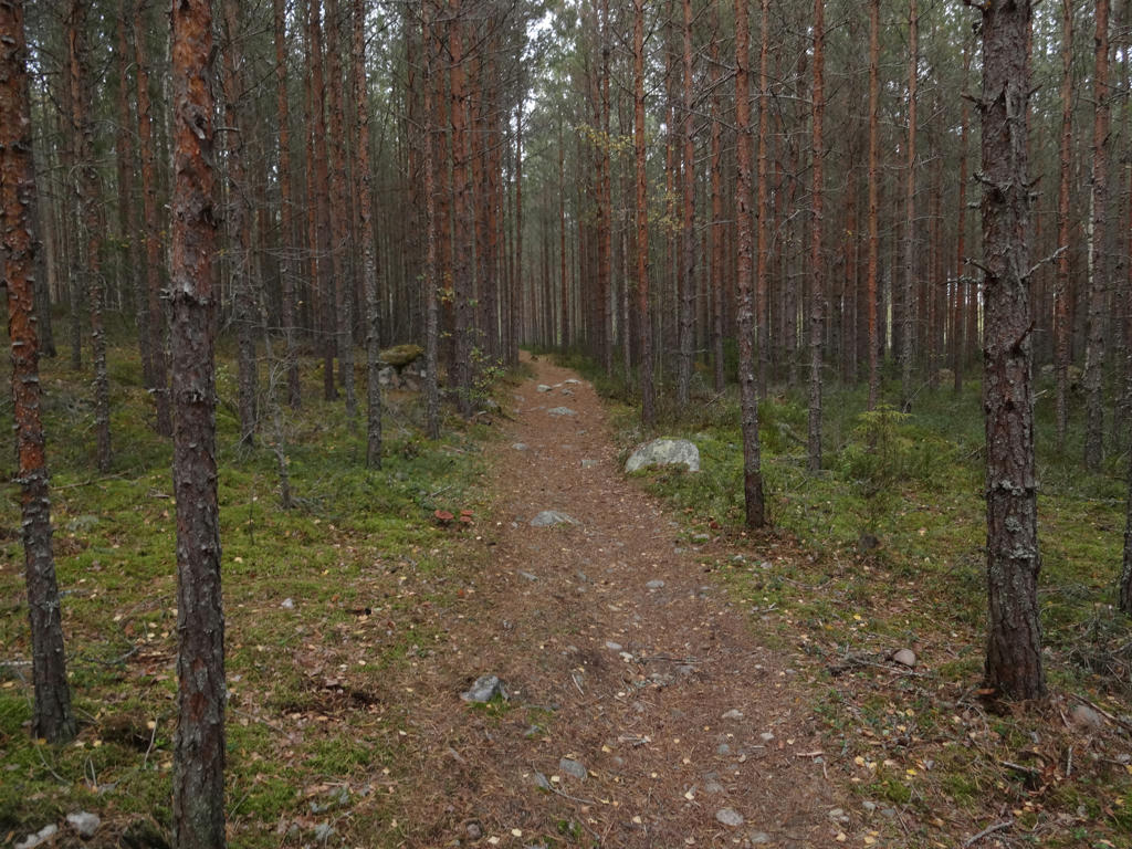
Bergslagsleden Walk #6: Ånnaboda-Mogetorp (Monday 24/09-18)
I'm finally back. I didn't write a blog post in almost two months simply because I had nothing interesting to write about. In fact there was a break of over two months between my most recent walk (Bergslagsleden Walk #6 between Ånnaboda and Mogetorp) and my previous walk (Östgötaleden Walk #2 between Njärvehult and Österbymo).
Why did I take such a long break? There are several reasons for this but the main reason is that the car I use broke down and needed to be repaired. However, it was not worth to repair the car because it also had a rust issue. Instead, the car got scrapped around three weeks ago. Thus the only remaining option was to borrow my mother's car but I didn't get permission to use her car to drive the types of distances I need to go (250km or more in one direction). Another option would be to use public transport (trains, buses etc.) but the problem with that is that travelling long distances with public transport often takes more time than travelling by car (sometimes several hours more). Furthermore, there is a lot more flexibility when travelling by car. When using public transport you have to make sure you don't miss the last train or bus home. A good example is that the last train from Örebro to Göteborg on weekdays leaves at 19:25. If you miss that one there's no way of getting back to Göteborg the same day using public transport and you probably won't have much luck hitchhiking so the only remaining option is to find a hostel and stay for the night (although theoretically there are some exceptions: on some days there is a bus to Karlstad and a train from there and in some cases there is a night train (but it is expensive since it requires changing the train four times or something similar)). On the other hand if you would park in Örebro you just have to make sure you don't miss the last bus from the place where the walk ends back to Örebro and you can drive home even if you return to Örebro for instance at 21:00. Another issue is that at some point the public transport option becomes significantly more expensive compared to driving by car (for instance if you need to change the train several times).
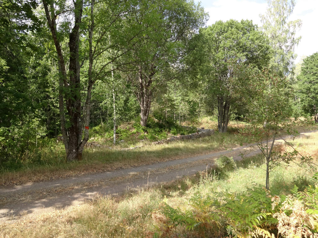
Either way, because of the limitation of not having a car easily available it's very possible that the walk I write about in this blog post will be the last one in 2018. However if I would be able to borrow my mother's car for longer distances I would possibly be able to go on three more walks this year: on Saturday October 6th, on Saturday October 13th and on Saturday October 20th. In that case I would probably continue Östgötaleden (continuing Bergslagsleden requires longer days). I won't have time to go on walks on weekdays any more and Sunday is generally out of the question. I will summarize the 2018 walks and give some future plans in a later blog post but needless to say 2018 didn't turn out as expected when it came to the walks. Hopefully 2019 will be more interesting in that regard. Anyway, I will now write about the specifics of Bergslagsleden Walk #6 between Ånnaboda and Mogetorp.
As I've mentioned above my mother didn't let me borrow her car to go far distances but she did lend me her car in this specific case because I only went to Alingsås (around 37km from home) and parked my car there. Then I took the 05:30 train in the direction of Stockholm. That train doesn't stop in Örebro so I had to get off the train in Hallsberg and then take a local train to Örebro. Once I arrived in Örebro at 07:48 I waited for almost 50 minutes for bus 523 to Ånnaboda. I arrived in Ånnaboda at 09:10 and started my walk there. As you may already know, I've previously walked between Ånnaboda and Leken. That time I went in the south direction from Ånnaboda. This time I continued north from Ånnaboda.
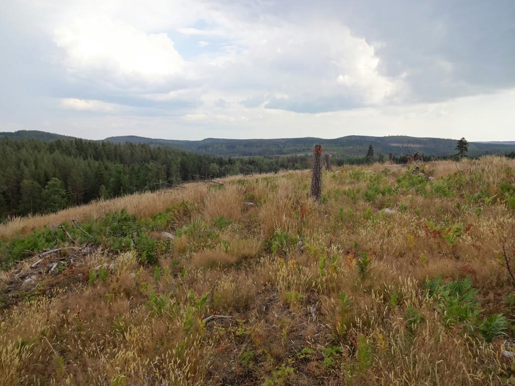
The walk consists of Bergslagsleden stage 9 between Ånnaboda and Blankhult (10km) and Bergslagsleden stage 8 between Blankhult and Mogetorp (14km). Normally the walk would have been 24km in total but I also went to check out Rusakulan (0.3km*2=0.6km) which is considered to be the best gazebo in Kilsbergen (which is a somewhat mountainous region that the walk goes through). The walk was thus in total 24.6km. The total duration for the walk was 8h30mins. At first I walked slower but later (during the last 8km) I realized that I probably need to walk faster to make it on time for the 18:31 bus from Mogetorp (well, I ended up waiting 51 minutes for the bus so clearly I didn't need to walk as fast as I did but on the other hand the last 8km weren't too interesting anyway). My overall average speed for the walk was thus 2.89km/h.
I took the bus back to Örebro at 18:31 and arrived in Örebro shortly before 19:00. From Örebro I took the 19:25 train and arrived in Alingsås at around 21:36. I started driving around 21:41 and came back home around 22:21.
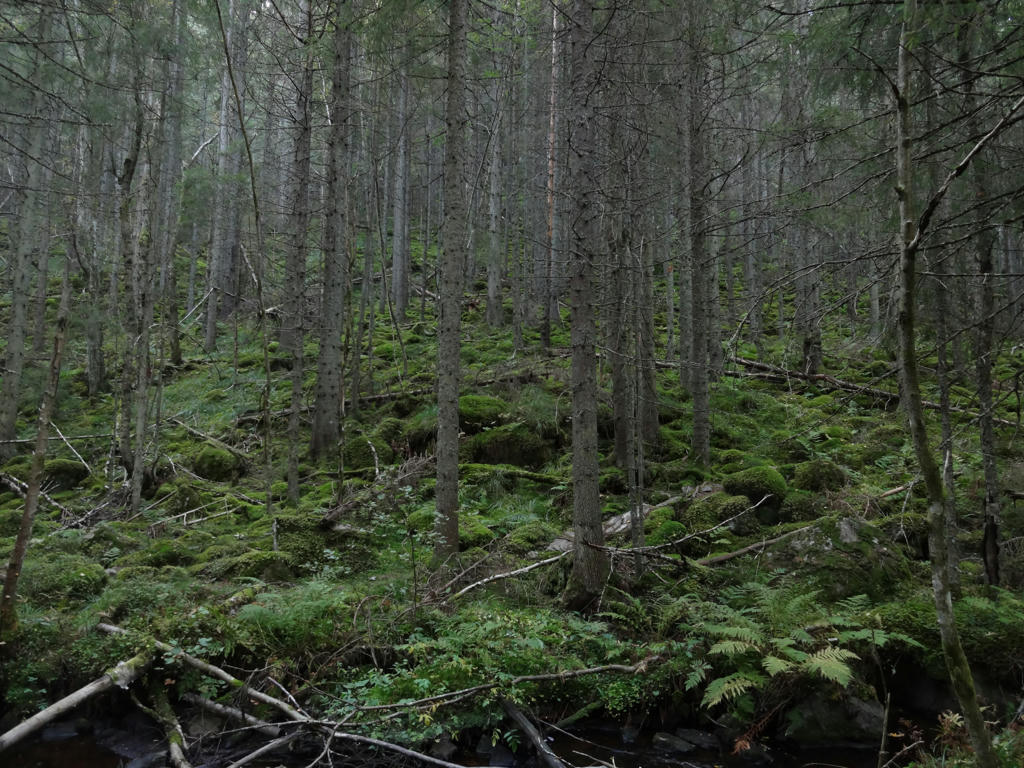
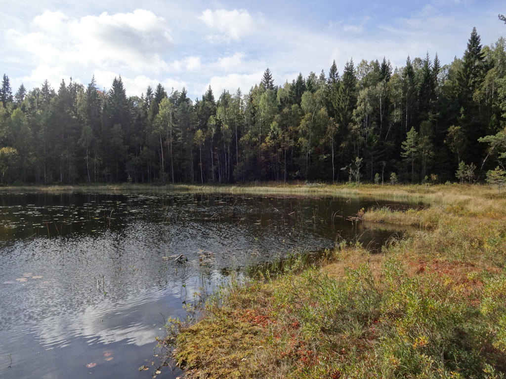
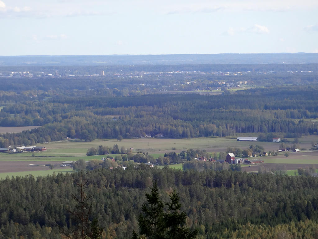
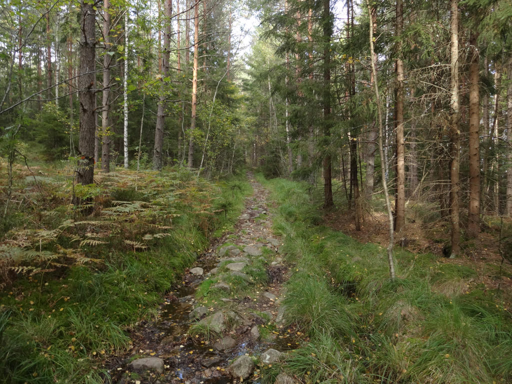
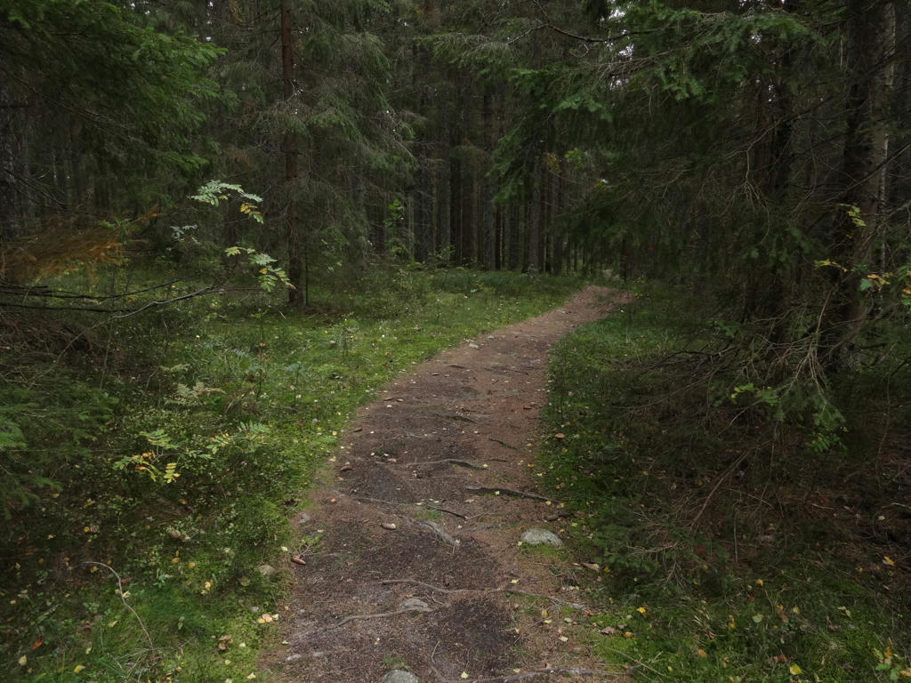
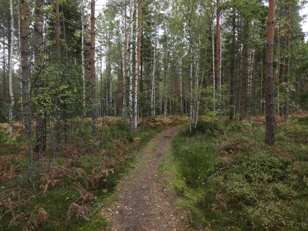
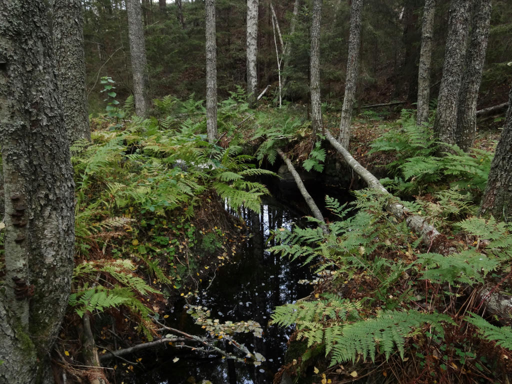
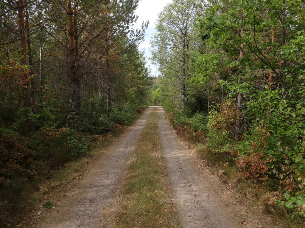
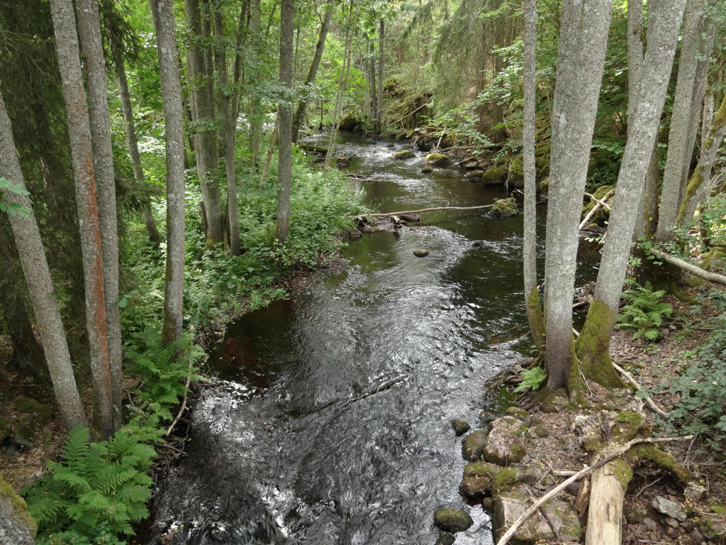
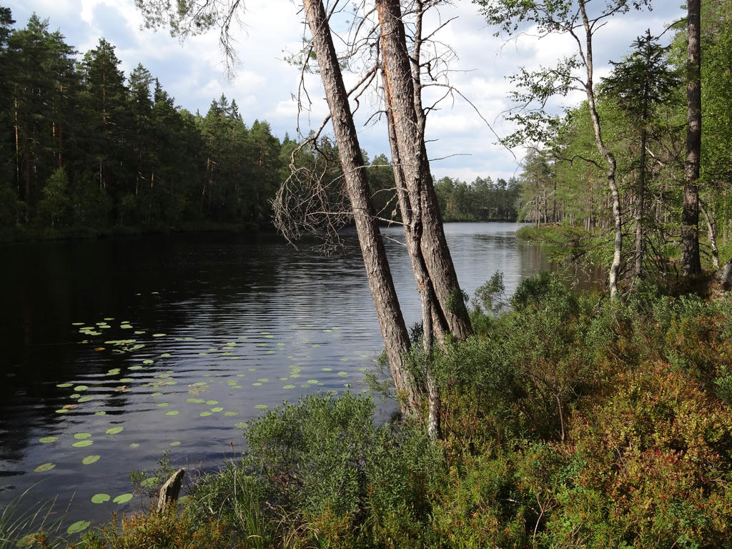
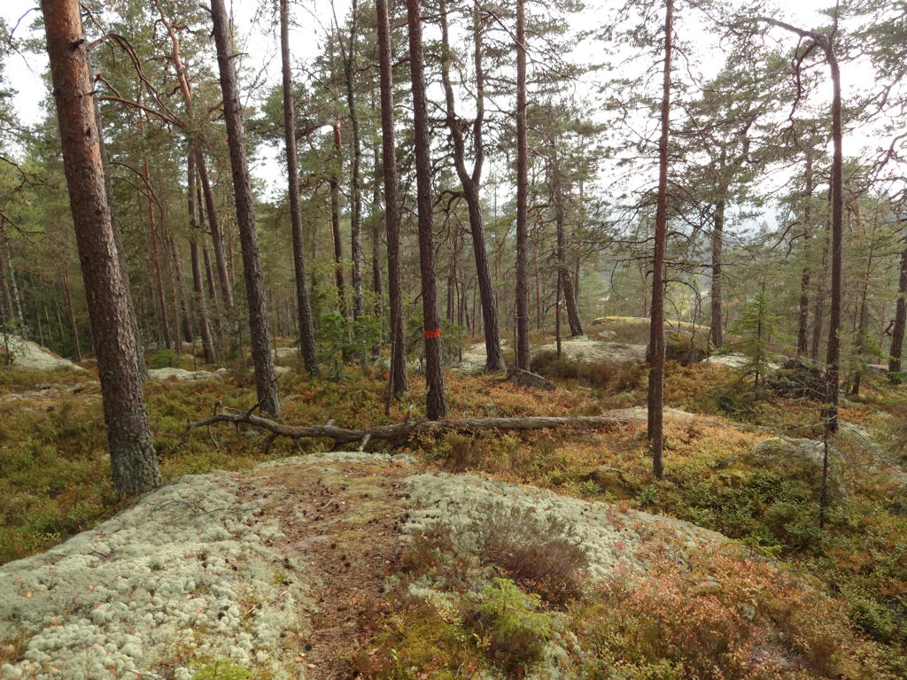
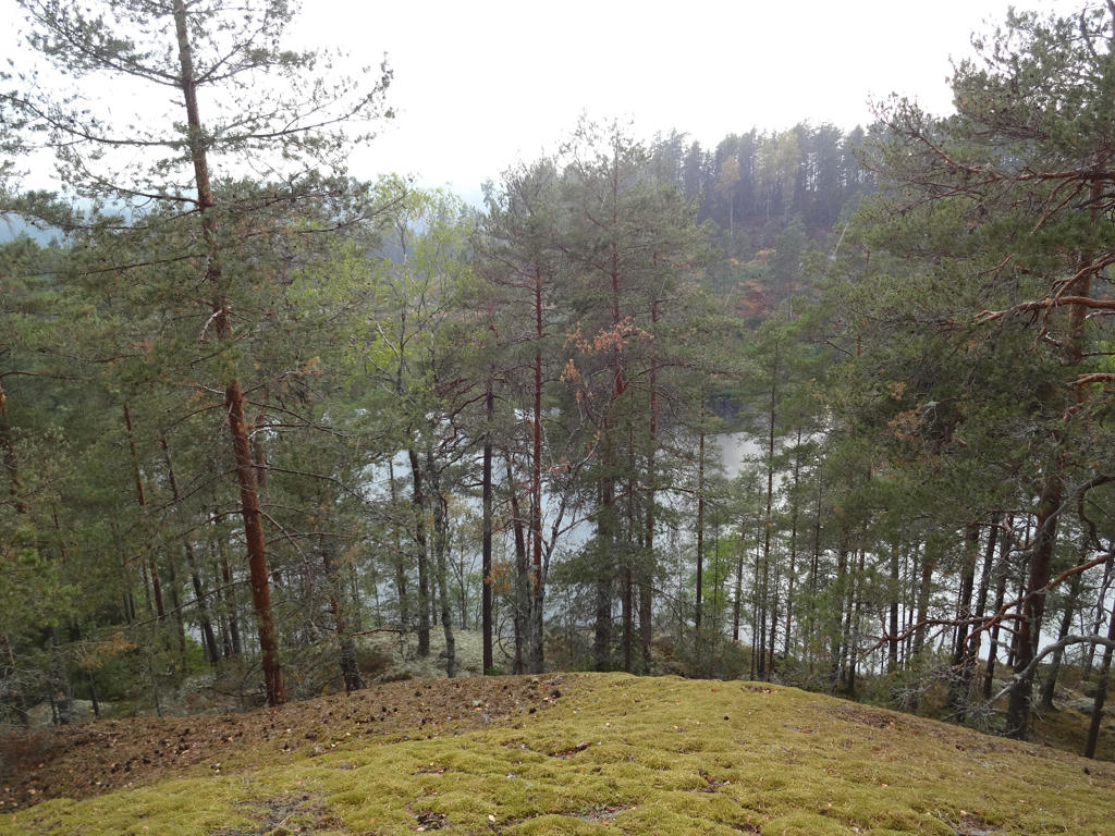
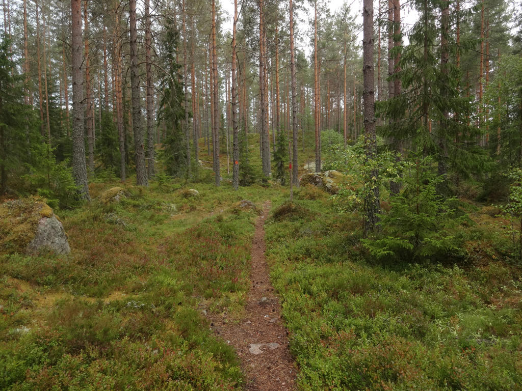
So, how did I enjoy the walk? I enjoyed it quite much. Sure, it was a bit cold (a couple of degrees in the morning and maybe up to 15 degrees during the day) but that's no hindrance (in fact sometimes a cold weather can make walks more enjoyable). Sure, it was a bit cloudy the last 2 hours or so. And sure, there were deer flies (I've got attacked by 7 deer flies in total in 6 different places). But these are not things I can really complain about. The walk has plenty of interesting parts and goes through very nice terrains. One of the most interesting parts of the walk is Norra Trolldalen "The North Troll Valley" which is a quite deep valley going through a dark old forest. Another interesting part is the Rusakulan gazebo which gives a great view of Örebro and Närkeslätten ("The Närke Plains"). Other than that there were also several small lakes on the path and also several cultural remnants (including croft ruins and Tomasboda). The photos are presented below. Enjoy!
Why did I take such a long break? There are several reasons for this but the main reason is that the car I use broke down and needed to be repaired. However, it was not worth to repair the car because it also had a rust issue. Instead, the car got scrapped around three weeks ago. Thus the only remaining option was to borrow my mother's car but I didn't get permission to use her car to drive the types of distances I need to go (250km or more in one direction). Another option would be to use public transport (trains, buses etc.) but the problem with that is that travelling long distances with public transport often takes more time than travelling by car (sometimes several hours more). Furthermore, there is a lot more flexibility when travelling by car. When using public transport you have to make sure you don't miss the last train or bus home. A good example is that the last train from Örebro to Göteborg on weekdays leaves at 19:25. If you miss that one there's no way of getting back to Göteborg the same day using public transport and you probably won't have much luck hitchhiking so the only remaining option is to find a hostel and stay for the night (although theoretically there are some exceptions: on some days there is a bus to Karlstad and a train from there and in some cases there is a night train (but it is expensive since it requires changing the train four times or something similar)). On the other hand if you would park in Örebro you just have to make sure you don't miss the last bus from the place where the walk ends back to Örebro and you can drive home even if you return to Örebro for instance at 21:00. Another issue is that at some point the public transport option becomes significantly more expensive compared to driving by car (for instance if you need to change the train several times).
Either way, because of the limitation of not having a car easily available it's very possible that the walk I write about in this blog post will be the last one in 2018. However if I would be able to borrow my mother's car for longer distances I would possibly be able to go on three more walks this year: on Saturday October 6th, on Saturday October 13th and on Saturday October 20th. In that case I would probably continue Östgötaleden (continuing Bergslagsleden requires longer days). I won't have time to go on walks on weekdays any more and Sunday is generally out of the question. I will summarize the 2018 walks and give some future plans in a later blog post but needless to say 2018 didn't turn out as expected when it came to the walks. Hopefully 2019 will be more interesting in that regard. Anyway, I will now write about the specifics of Bergslagsleden Walk #6 between Ånnaboda and Mogetorp.
As I've mentioned above my mother didn't let me borrow her car to go far distances but she did lend me her car in this specific case because I only went to Alingsås (around 37km from home) and parked my car there. Then I took the 05:30 train in the direction of Stockholm. That train doesn't stop in Örebro so I had to get off the train in Hallsberg and then take a local train to Örebro. Once I arrived in Örebro at 07:48 I waited for almost 50 minutes for bus 523 to Ånnaboda. I arrived in Ånnaboda at 09:10 and started my walk there. As you may already know, I've previously walked between Ånnaboda and Leken. That time I went in the south direction from Ånnaboda. This time I continued north from Ånnaboda.
The walk consists of Bergslagsleden stage 9 between Ånnaboda and Blankhult (10km) and Bergslagsleden stage 8 between Blankhult and Mogetorp (14km). Normally the walk would have been 24km in total but I also went to check out Rusakulan (0.3km*2=0.6km) which is considered to be the best gazebo in Kilsbergen (which is a somewhat mountainous region that the walk goes through). The walk was thus in total 24.6km. The total duration for the walk was 8h30mins. At first I walked slower but later (during the last 8km) I realized that I probably need to walk faster to make it on time for the 18:31 bus from Mogetorp (well, I ended up waiting 51 minutes for the bus so clearly I didn't need to walk as fast as I did but on the other hand the last 8km weren't too interesting anyway). My overall average speed for the walk was thus 2.89km/h.
I took the bus back to Örebro at 18:31 and arrived in Örebro shortly before 19:00. From Örebro I took the 19:25 train and arrived in Alingsås at around 21:36. I started driving around 21:41 and came back home around 22:21.
So, how did I enjoy the walk? I enjoyed it quite much. Sure, it was a bit cold (a couple of degrees in the morning and maybe up to 15 degrees during the day) but that's no hindrance (in fact sometimes a cold weather can make walks more enjoyable). Sure, it was a bit cloudy the last 2 hours or so. And sure, there were deer flies (I've got attacked by 7 deer flies in total in 6 different places). But these are not things I can really complain about. The walk has plenty of interesting parts and goes through very nice terrains. One of the most interesting parts of the walk is Norra Trolldalen "The North Troll Valley" which is a quite deep valley going through a dark old forest. Another interesting part is the Rusakulan gazebo which gives a great view of Örebro and Närkeslätten ("The Närke Plains"). Other than that there were also several small lakes on the path and also several cultural remnants (including croft ruins and Tomasboda). The photos are presented below. Enjoy!
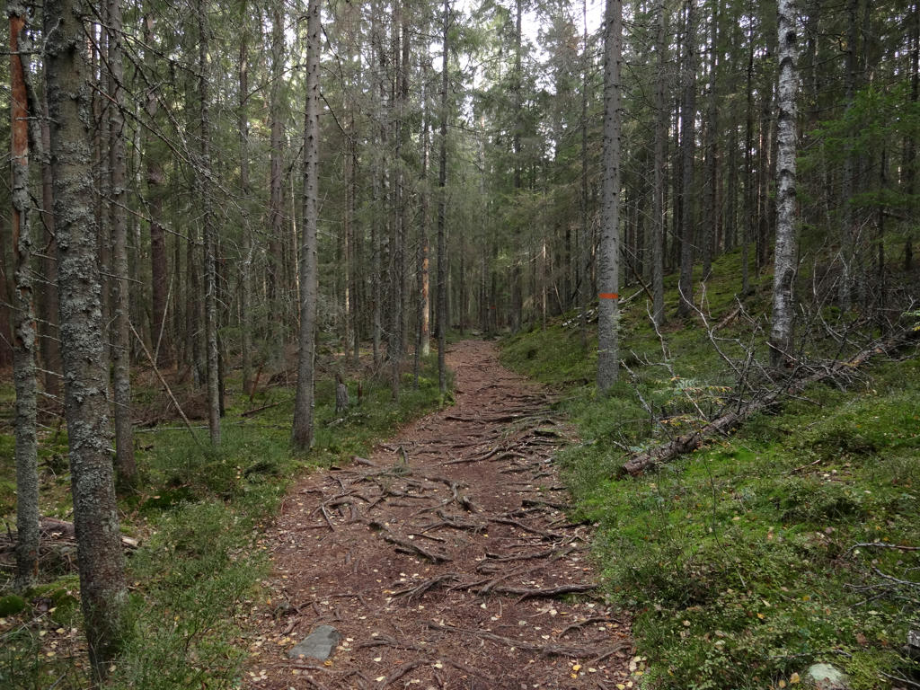
1.
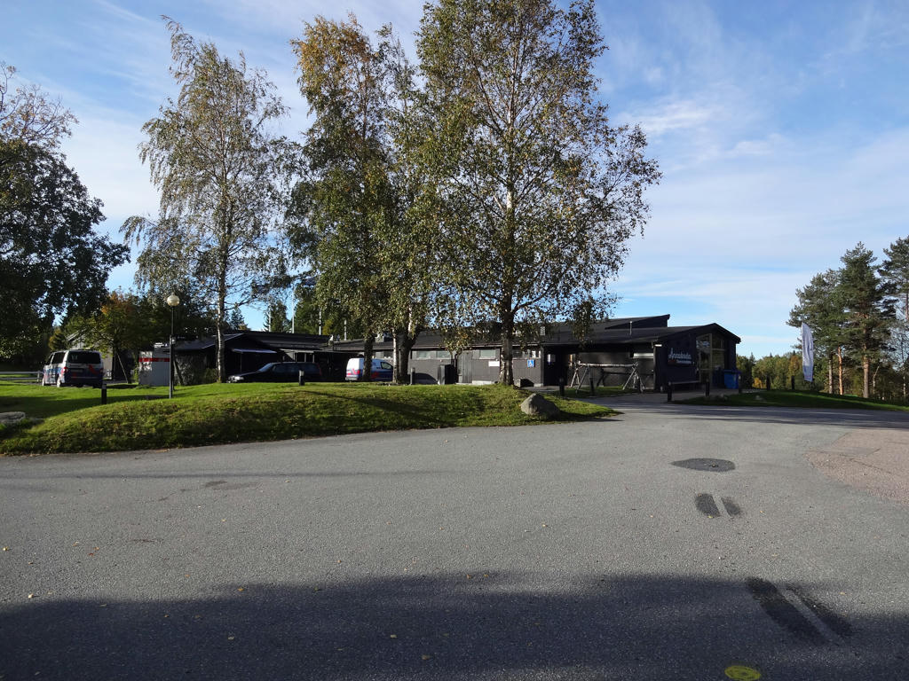
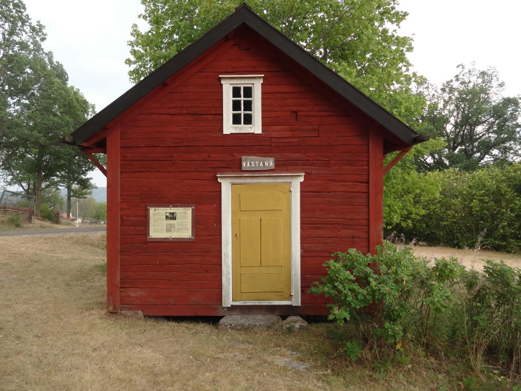
Ånnaboda
2.
Östra Ånnabosjön. Used the levels tool to increase the brightness and contrast slightly for the non-sky parts. Also sharpened the photo slightly using unsharp mask.
3.
Lövåsen croft ruins
4.
Göljan. Rotated the photo slightly and cropped it. Also used the curves tool to brighten the photo in and then brighten the sky and the non-sky parts separately.
5.
Increased the contrast slightly using the brightness-contrast tool.
6.
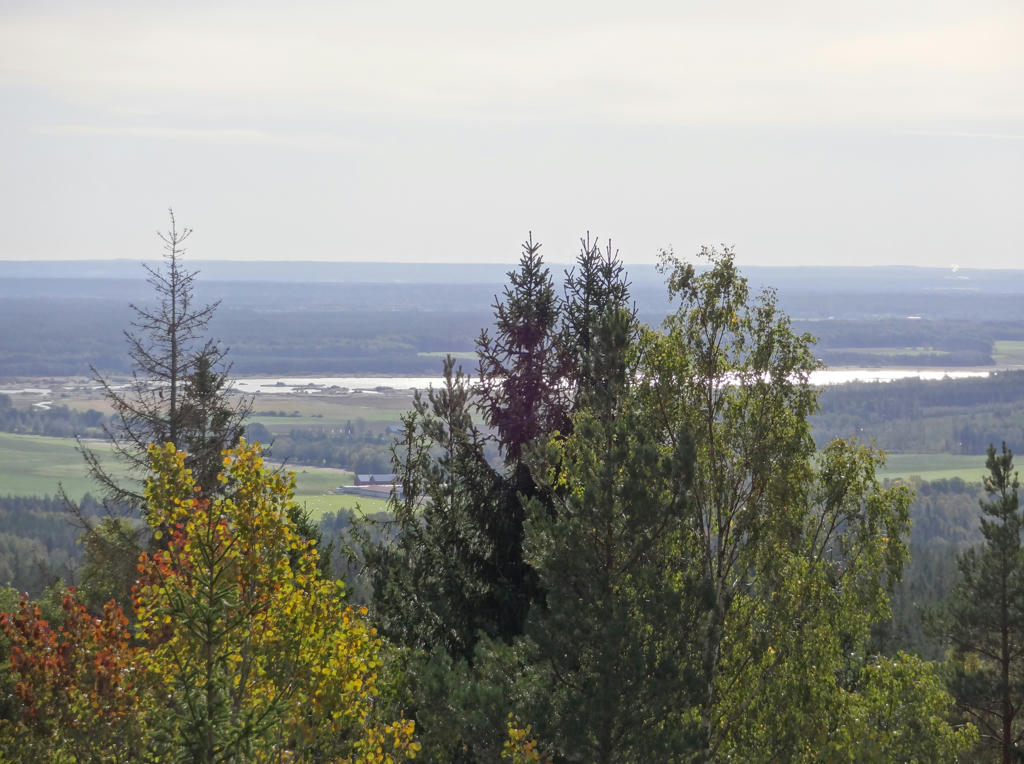
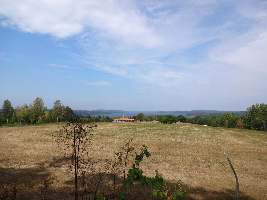
View from the Lövnäsberget gazebo. The lake Tysslingen can be seen in the background.
7.
Near Trolldalen.
8.
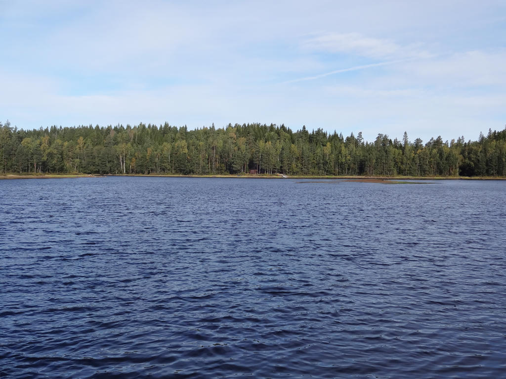
Stora Dammsjön. Rotated the photo slightly and cropped it.
9.
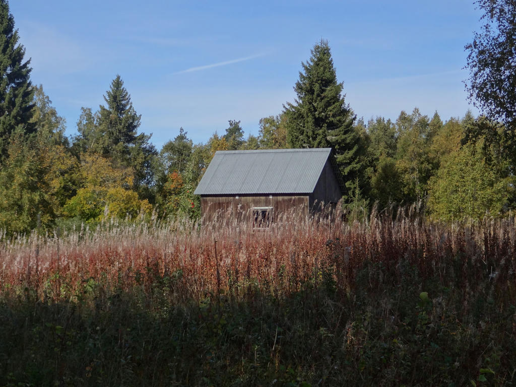
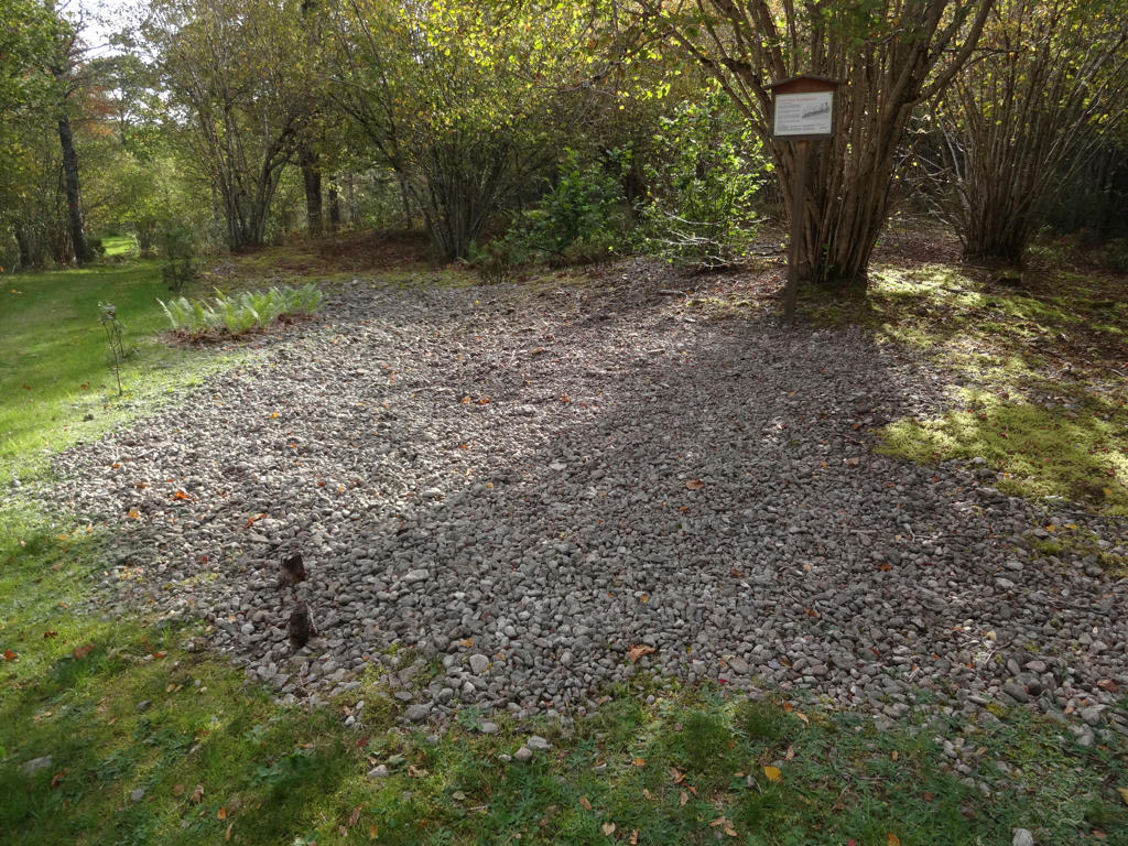
There used to be three crofts in this part of Kilsbergen (between Stora Dammsjön and Blankhult) but only Tomasboda remains. Tomasboda has been disposed by the association Kilsbergsstugan since the 1920s.
Brightened the non-sky parts slightly using the curves tool.
Brightened the non-sky parts slightly using the curves tool.
10.
Building belonging to the Tomasboda croft.
11.
12.
13.
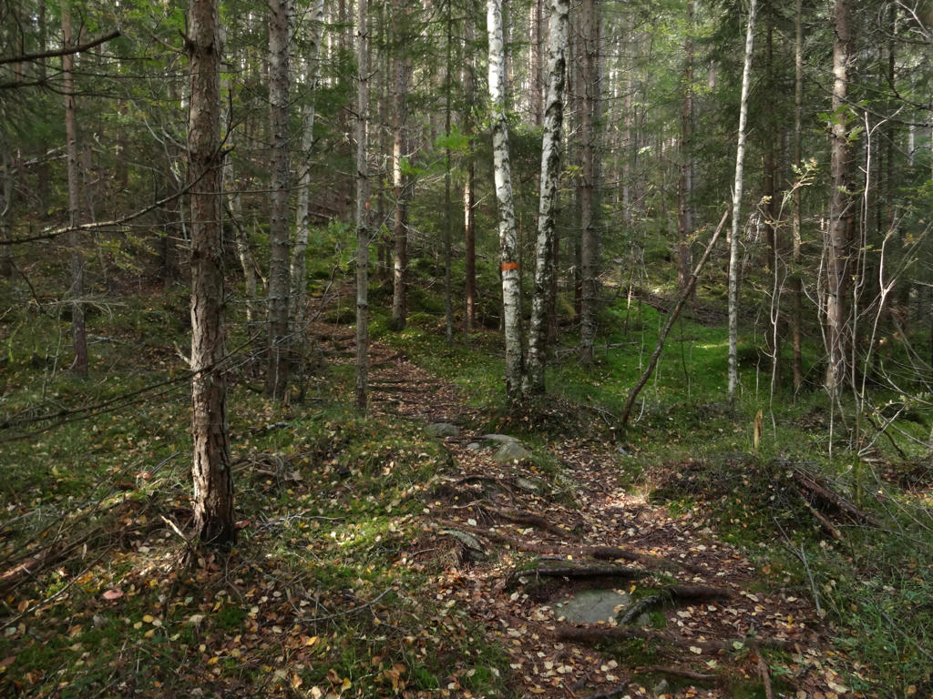
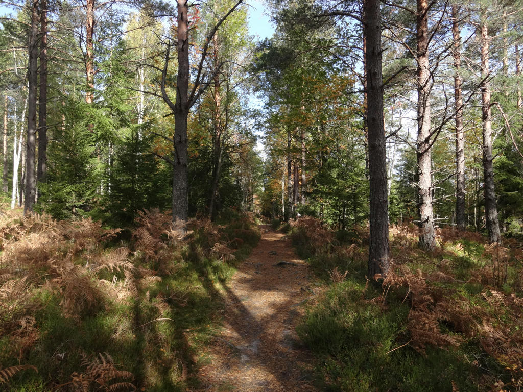
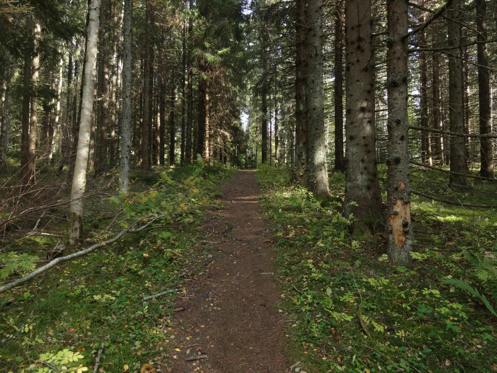
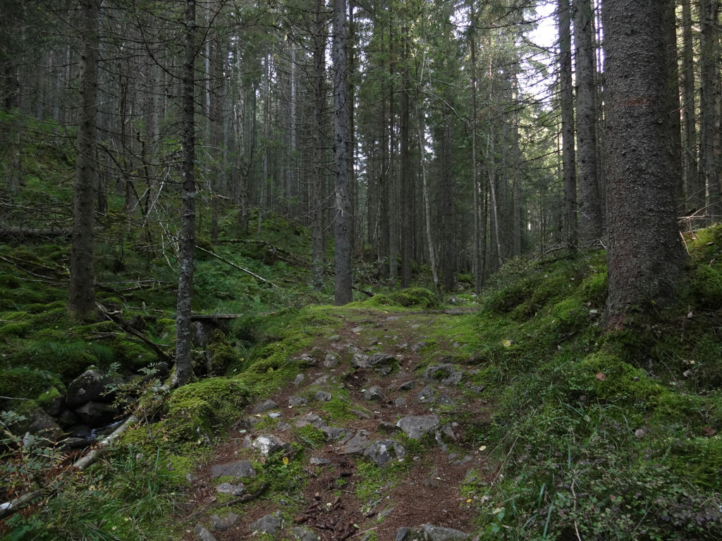
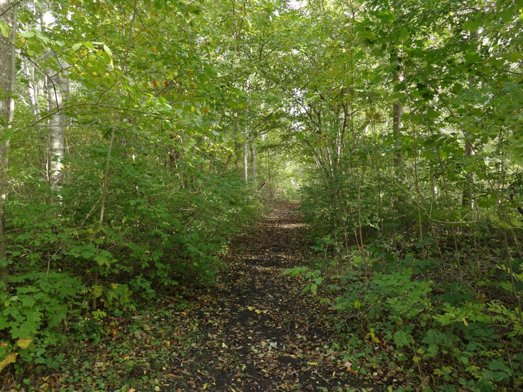
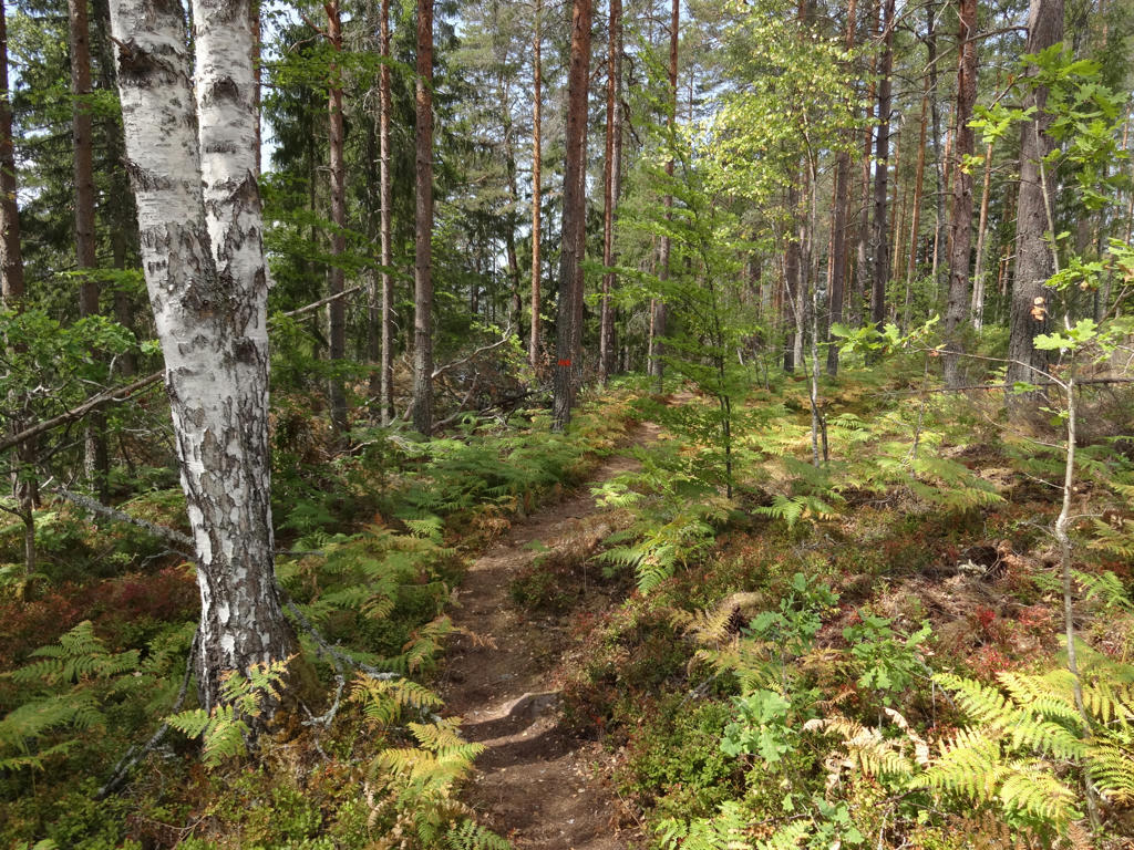
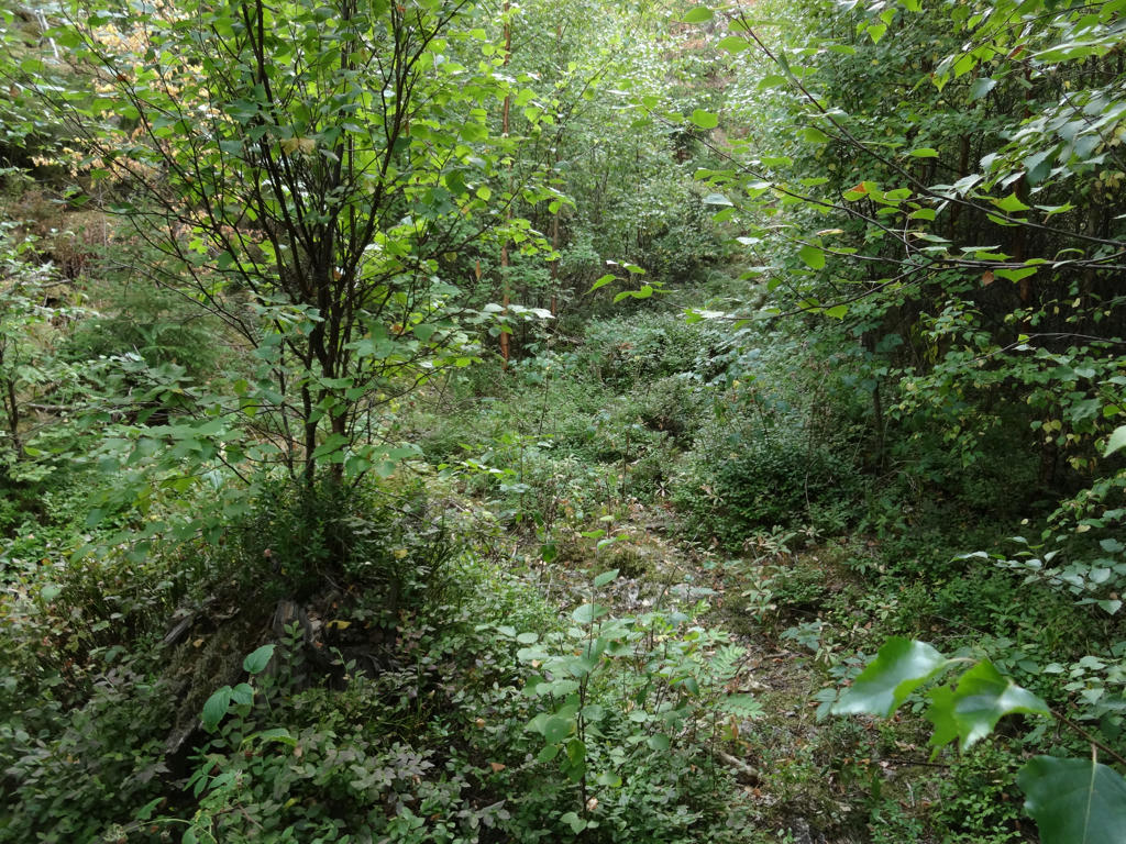
Norra Trolldalen ("The Northern Troll Valley"). This was one of my favorite parts of the walk.
14.
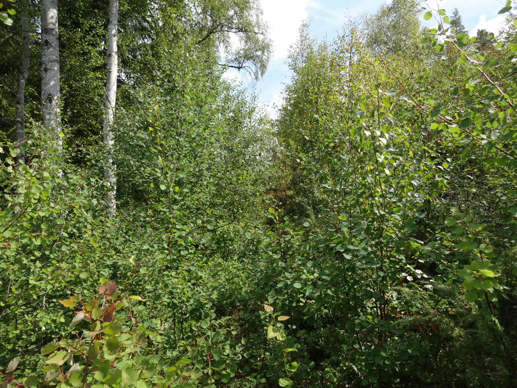
Norra Trolldalen
15.
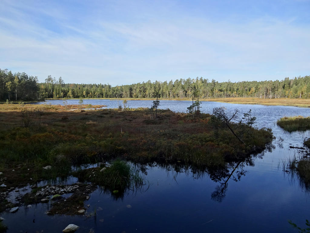
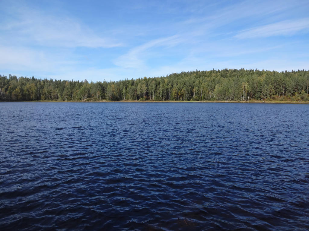
Stora Klockarhyttesjön
16.
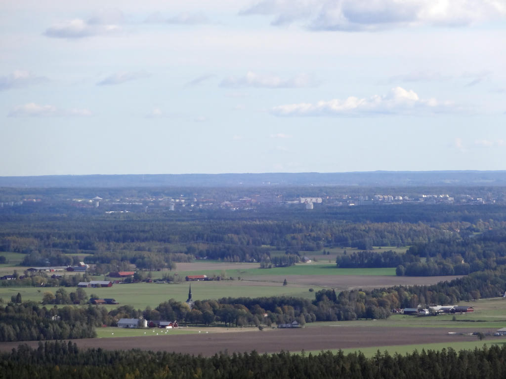
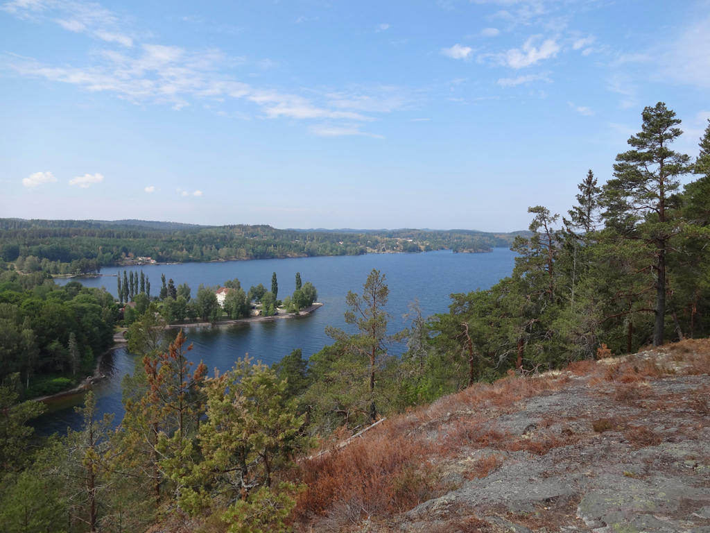
View from the Rusakulan gazebo (the best gazebo in Kilsbergen). Used the levels tool to increase the brightness and contrast for the photo. Also sharpened the photo slightly using unsharp mask.
17.
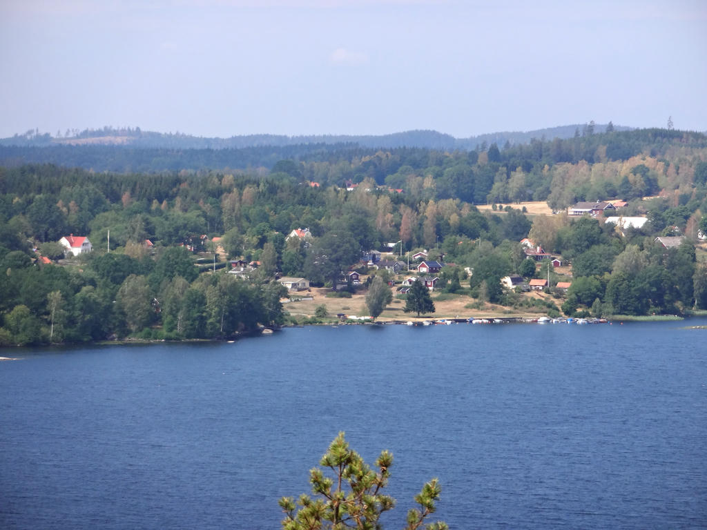
View of Örebro from Rusakulan. Used the levels tool to increase the brightness and contrast slightly.
18.
19.
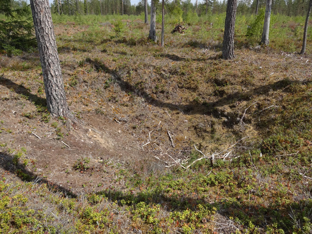
"Yoldia sea banks
The inland ice melted in this part of Närke approximately 10000 years ago. Because the kilometre thick ice had depressed, the sea covered large parts of this area. This stage in the history of the Baltic is called the 'Yoldia Sea'. The sea covered all of Mälardalen, Hjälmarsänkan and Närkeslätten and reached the edge of Kilsbergen where it had its shore. When the ice disappeared, the compressed earth rose up like a cork that had been forced down under the water, firstly at the rate of 10 m per 100 years. Närke is still rising today but now at the more modest rate of 4 mm per year. Land elevation resulted in the shore being moved further down the edge of Kilsbergen.
The eight terraces which can clearly be seen on the slope between the wind break and the road show how the Yoldia sea's shore has sunk during a period of approximately eight hundred years. The edge of the shore was whipped by strong winds. Sand and shingle were washed away by the waves to the lower parts of Närke. Larger stones which formed these banks and shingle fields remained. In Lövbrickan's nature reserve some kilometres away, there are further examples of beautiful shingle fields.
The windbreak is at a height of 165 metres above the sea. Here lies the high coastline which is the limit above which the ground was not covered by water after the Ice Age. If we had been standing here 10000 years ago, we would have had a clear view over a sea the opposite shore of which was situated well into Russia."
20.
21.
22.
23.
24.
Rangelbäcken. Brightened the photo slightly using the curves tool.
25.
tisdag 31 juli 2018
Östgötaleden Walk #2: Njärvehult-Österbymo (Tuesday 19/07-18)
After finishing Bohusleden as described in Bohusleden Walk #16 between Porsås and Kasebo I could either continue E1 European long-distance path (more specifically Bergslagsleden) or E6 European long-distance path (Östgötaleden). I decided to continue on E6 and return to Östgötaleden. More specifically I walked from Njärvehult to Österbymo.
In the morning I travelled to Österbymo by car. I then travelled to a place by road 134 near Njärvehult using local traffic (närtrafik). I started the walk at 10:28 and finished it as late as 20:15 (a total duration of 9h29mins). This is despite that the total distance for the walk was only 22.2km. In fact my average speed was only 2.34km/h. This is the slowest average speed so far. The reason for this incredibly slow walking speed was that the this was the walk with the most difficult parts. The first 7km or so were pretty regular and in fact contained some very beautiful segments. However it went downhill from there. The next 11-12km were very difficult to traverse in some places. There were several reasons for this, including: parts of the trail were overgrown and covered by bushes, the trail went through deforested segments with no clear footpaths and in some places it was easy to get lost due to missing or misplaced signs. Basically this 11-12km segment is probably my worst walking experience, possibly only comparable to Hallandsleden Walk #11 between Brännögården and Rydöbruk but at least that was shorter. As for the weather it was very dry and warm. In fact it was so warm that I didn't have any water left when it was 7km left. Luckily (or unluckily depending on how you see it) it started raining. It meant that I could get cooled down and didn't feel as thirsty. However, it rained longer than I hoped to and I did get my pants and shoes wet. For that reason I had to change my socks and put plastic bags on my socks. Despite all the issues I had much luck in seeing animals (although not as much luck in photographing them); I first saw one deer, then later I saw another deer, then I saw a moose/elk and finally I saw two young deer. However, what I wasn't so happy to encounter were at least three deer flies. As I've previously mentioned deer flies are like flying ticks except that they want to crawl into your skin and lay eggs rather than suck blood. However, usually they show up in the end of August (that was at least the case in 2016 and 2017). Deer flies showing up this early (middle of July) is weird. I suppose it's caused by the warm and dry weather. Anyway, it's time to show it all, the good, the bad and the ugly. Enjoy!
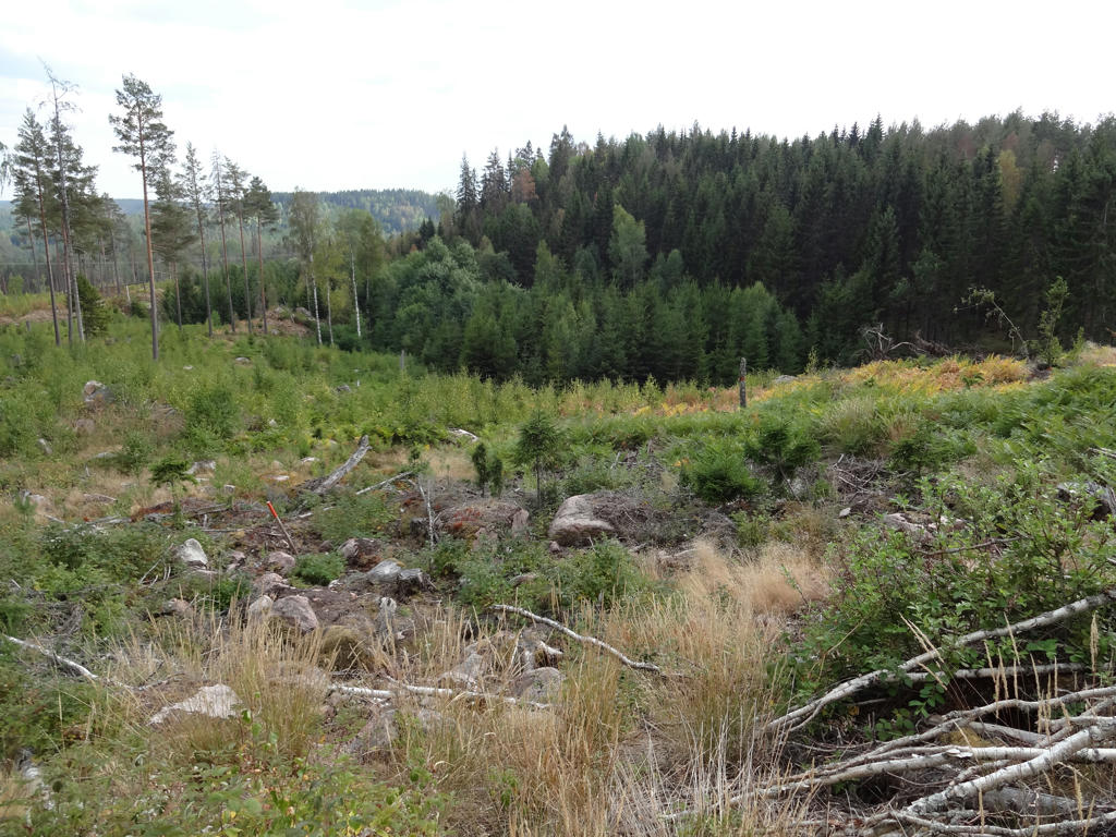
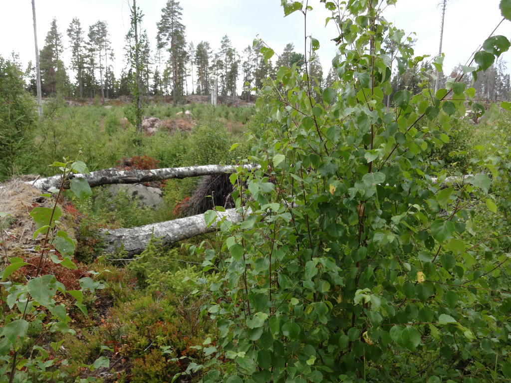
In the morning I travelled to Österbymo by car. I then travelled to a place by road 134 near Njärvehult using local traffic (närtrafik). I started the walk at 10:28 and finished it as late as 20:15 (a total duration of 9h29mins). This is despite that the total distance for the walk was only 22.2km. In fact my average speed was only 2.34km/h. This is the slowest average speed so far. The reason for this incredibly slow walking speed was that the this was the walk with the most difficult parts. The first 7km or so were pretty regular and in fact contained some very beautiful segments. However it went downhill from there. The next 11-12km were very difficult to traverse in some places. There were several reasons for this, including: parts of the trail were overgrown and covered by bushes, the trail went through deforested segments with no clear footpaths and in some places it was easy to get lost due to missing or misplaced signs. Basically this 11-12km segment is probably my worst walking experience, possibly only comparable to Hallandsleden Walk #11 between Brännögården and Rydöbruk but at least that was shorter. As for the weather it was very dry and warm. In fact it was so warm that I didn't have any water left when it was 7km left. Luckily (or unluckily depending on how you see it) it started raining. It meant that I could get cooled down and didn't feel as thirsty. However, it rained longer than I hoped to and I did get my pants and shoes wet. For that reason I had to change my socks and put plastic bags on my socks. Despite all the issues I had much luck in seeing animals (although not as much luck in photographing them); I first saw one deer, then later I saw another deer, then I saw a moose/elk and finally I saw two young deer. However, what I wasn't so happy to encounter were at least three deer flies. As I've previously mentioned deer flies are like flying ticks except that they want to crawl into your skin and lay eggs rather than suck blood. However, usually they show up in the end of August (that was at least the case in 2016 and 2017). Deer flies showing up this early (middle of July) is weird. I suppose it's caused by the warm and dry weather. Anyway, it's time to show it all, the good, the bad and the ugly. Enjoy!
1.
Used the hue restorer plug-in to remove the cyan-ish sky color. Darkened the sky slightly using the levels tool.
2.
Visskvarn
3.
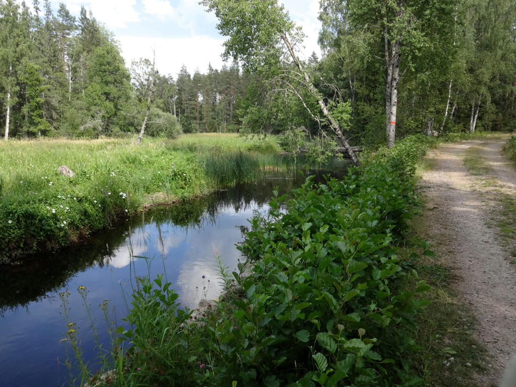
"River" connecting the lake Östersjön and Sommen.
4.
Fantastic view of Sommen from Kungabordet (the King's table). The place got its' name because king Gustav VI Adolf visited this place in 1953 and denoted the view as kingly (kunglig). Used the levels tool to brighten the sky and the non-sky parts separately.
5.
No, it's not autumn. It's simply so dry that the leaves have turned yellow.
6.
Another fantastic view of Sommen (from the gazebo at Vassviksberget).
7.
Used the levels tool to slightly increase the brightness and contrast.
8.
9.
And so it begins. It could be worse and it certainly got worse later. Used the hue restorer plug-in to remove the cyan-ish sky color. Also darkened the sky using the levels tool.
10.
Trapping pit for wolves.
11.
Bulsjöån. Used the levels tool to darken the sky and the non-sky parts separately. Used the hue restorer plug-in to remove the cyan-ish sky color.
12.
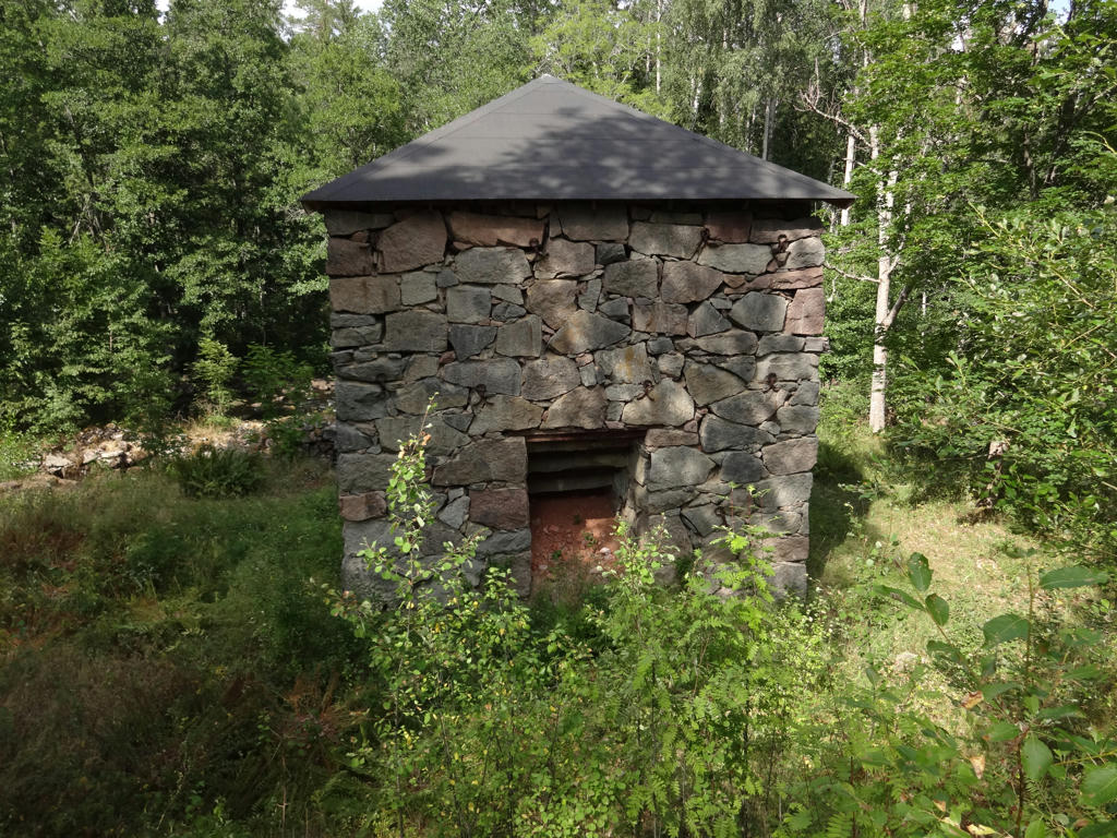
Foundry at Sund's Bruk (Sund's Works).
13.
Ruins of one of the buildings at Sund's Bruk (Sund's Works). Used the levels tool to darken the sky and the non-sky parts separately. Also used the hue restorer plug-in to remove the cyan-ish sky color.
14.
15.
16.
This place... In this overgrown valley I got attacked by at least two deer flies.
17.
Just great...
18.
Alsjön
19.
A complicated part.
20.
21.
22.
Skottnagölen
23.
24.
Shoemaking museum near Ydregården.
25.
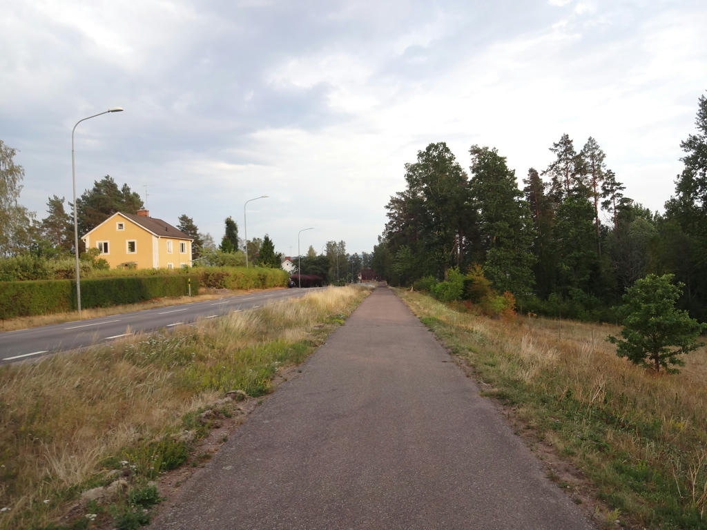
Österbymo
Prenumerera på:
Inlägg (Atom)