Vättlefjällsleden is a 25km long trail going through Vättlefjäll nature reserve. It ends at the same point it starts (meaning it goes around rather than going from one point to another). I started the walk by going the west direction near Toleredssjön and thus first walked in the direction of Jennylund. In total I walked 26.4km since there is an extra 0.7km to get to/from the bus station. The walk took me 8h1min in total and thus my average speed was about 3.29km/h. The main reason I walked so slow (especially compared to the previous time I've walked Vättlefjällsleden where I had an average speed of approximately 4.65km/h) is because I took many photos and also because I wanted to take it easy. I might have also been in somewhat bad shape after such a long break and Vättlefjällsleden can be quite demanding in many places (the terrain tends to vary a lot).
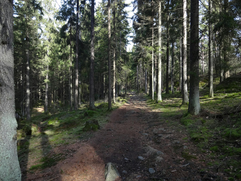
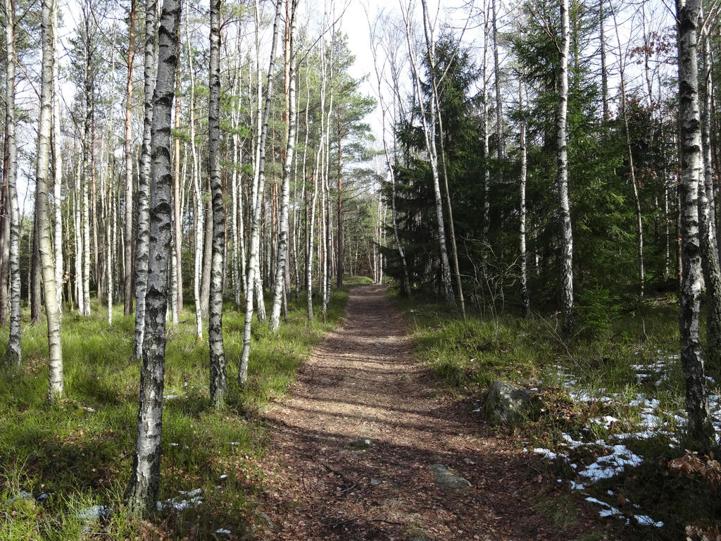
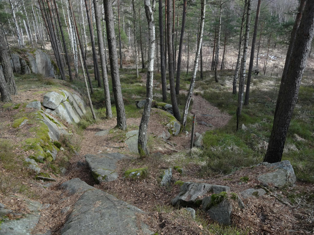
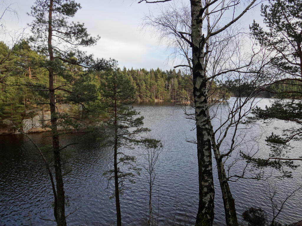
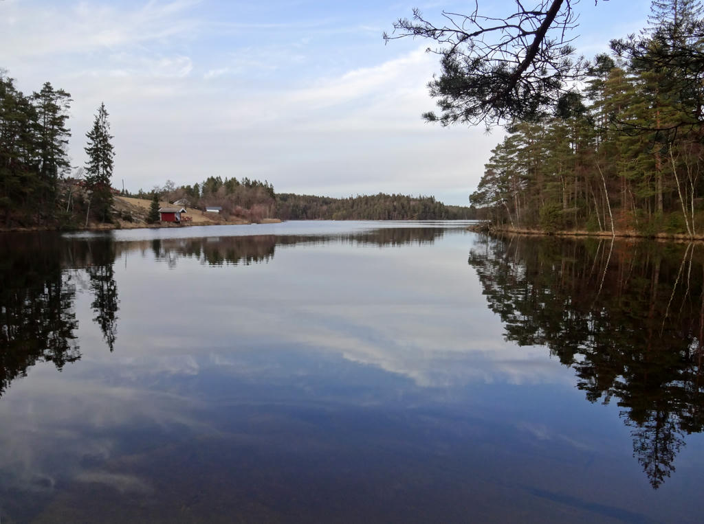
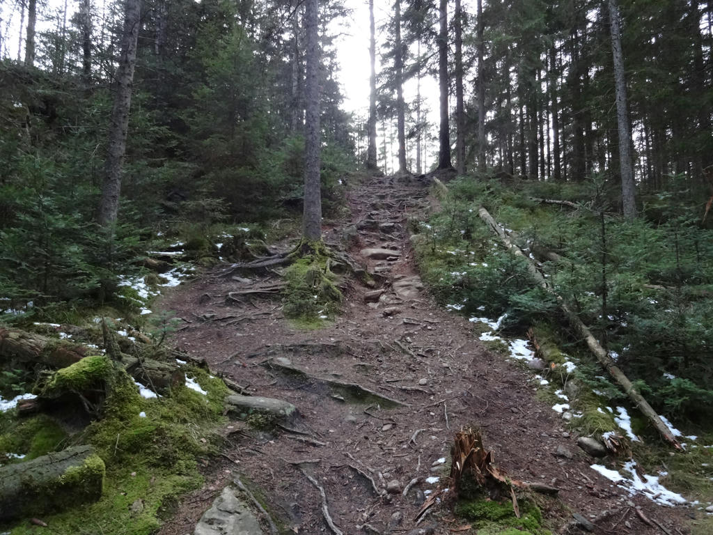
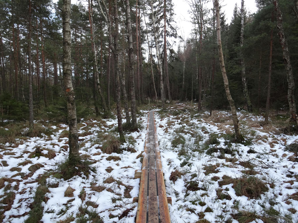
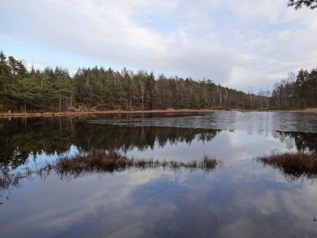
Vättlefjällsleden goes almost entirely through the woods and there are plenty of lakes and bogs on the way. It goes through some very beautiful and interesting parts of Vättlefjäll nature reserve. The walk goes for the most part on trails in the wood and also to some extent on gravel roads. As mentioned above the terrain can at times be quite demanding (much variation in height).
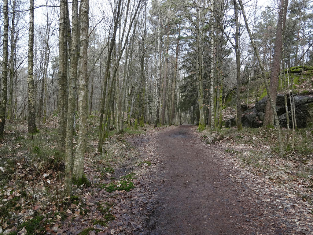
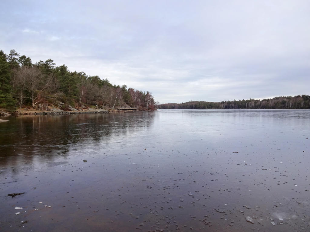
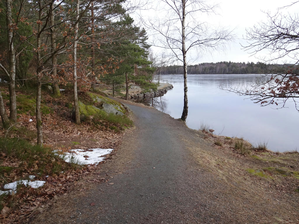
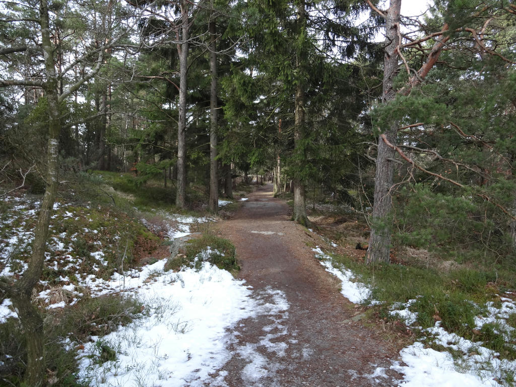
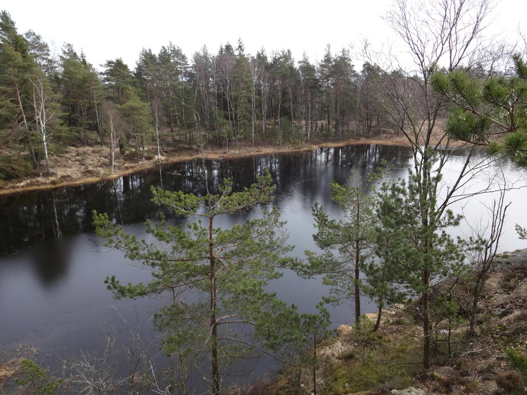
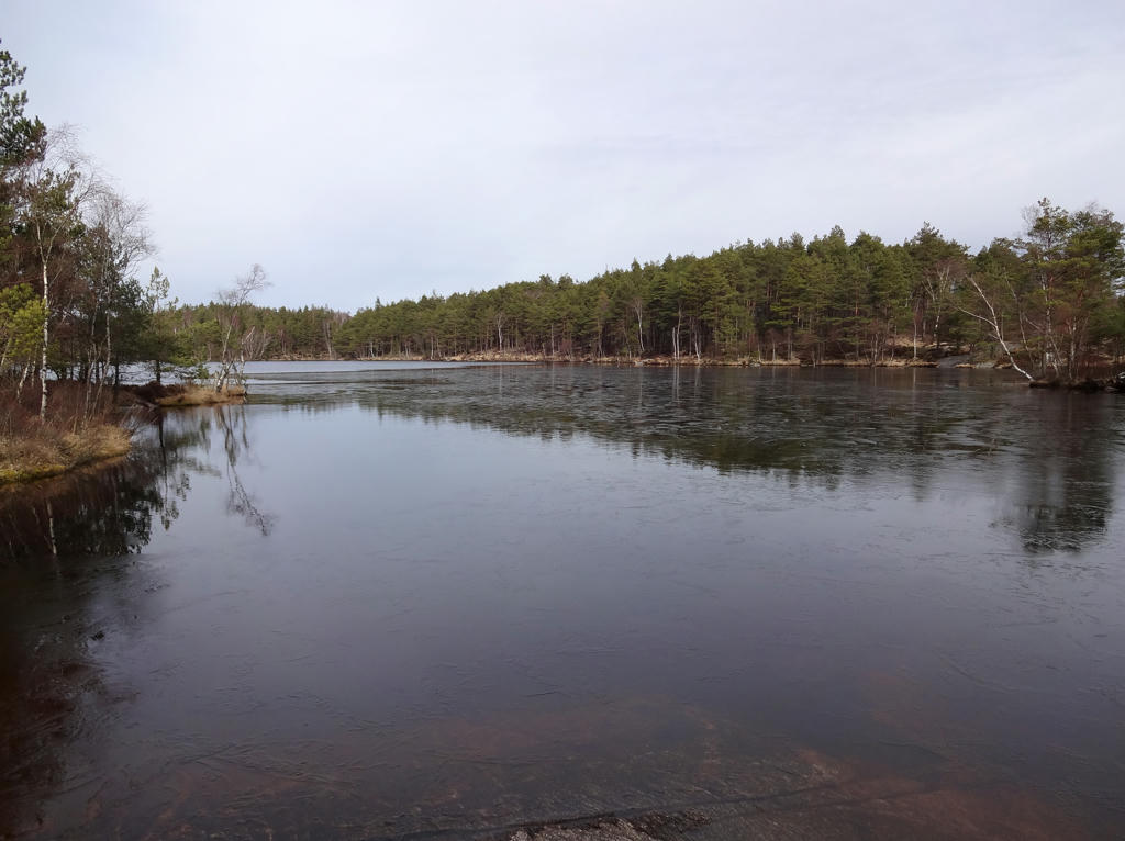
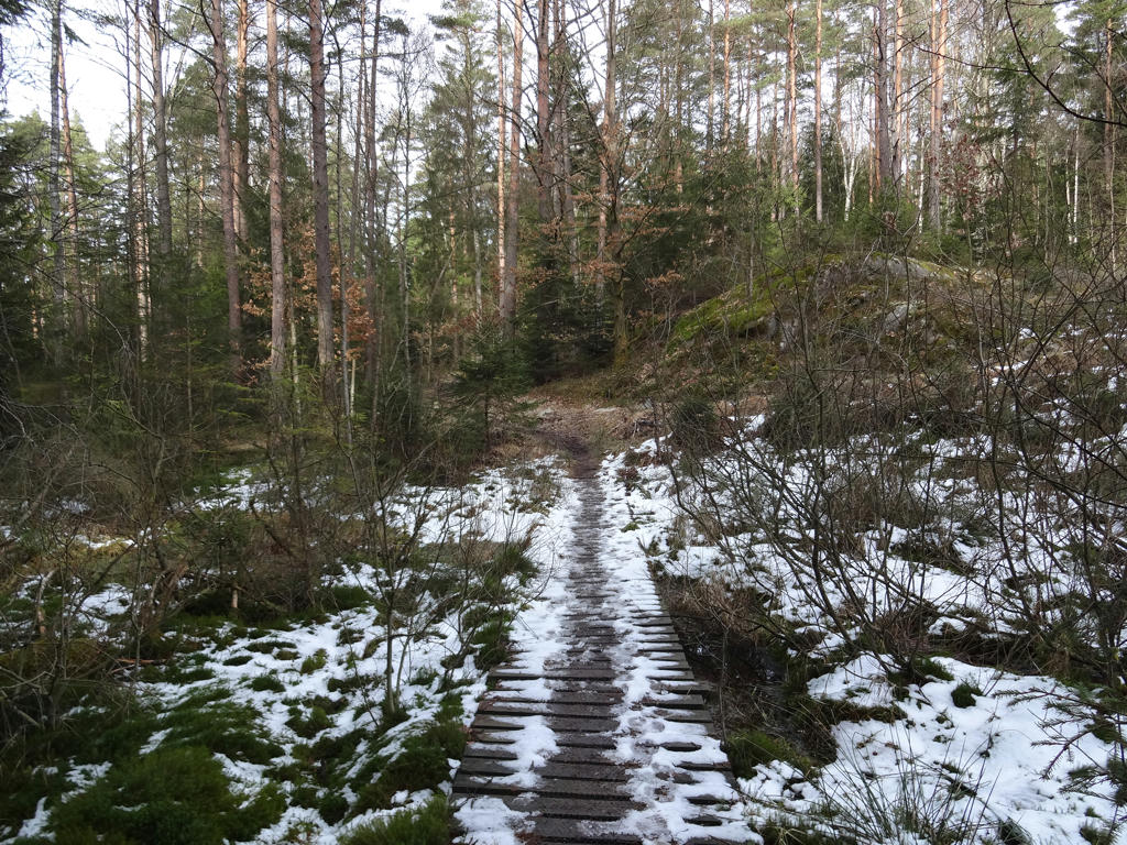
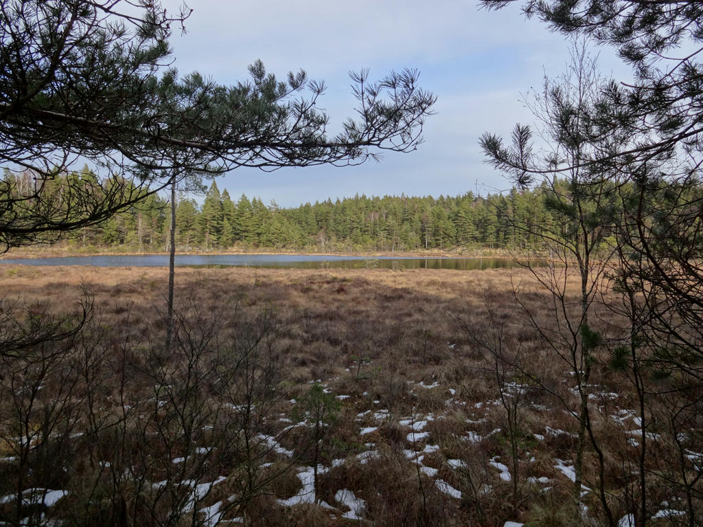
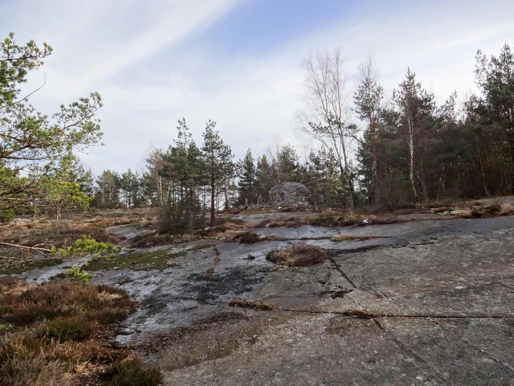
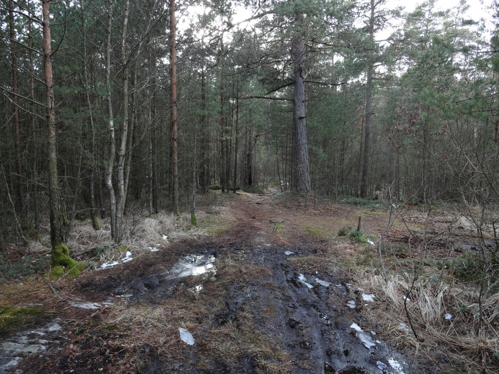
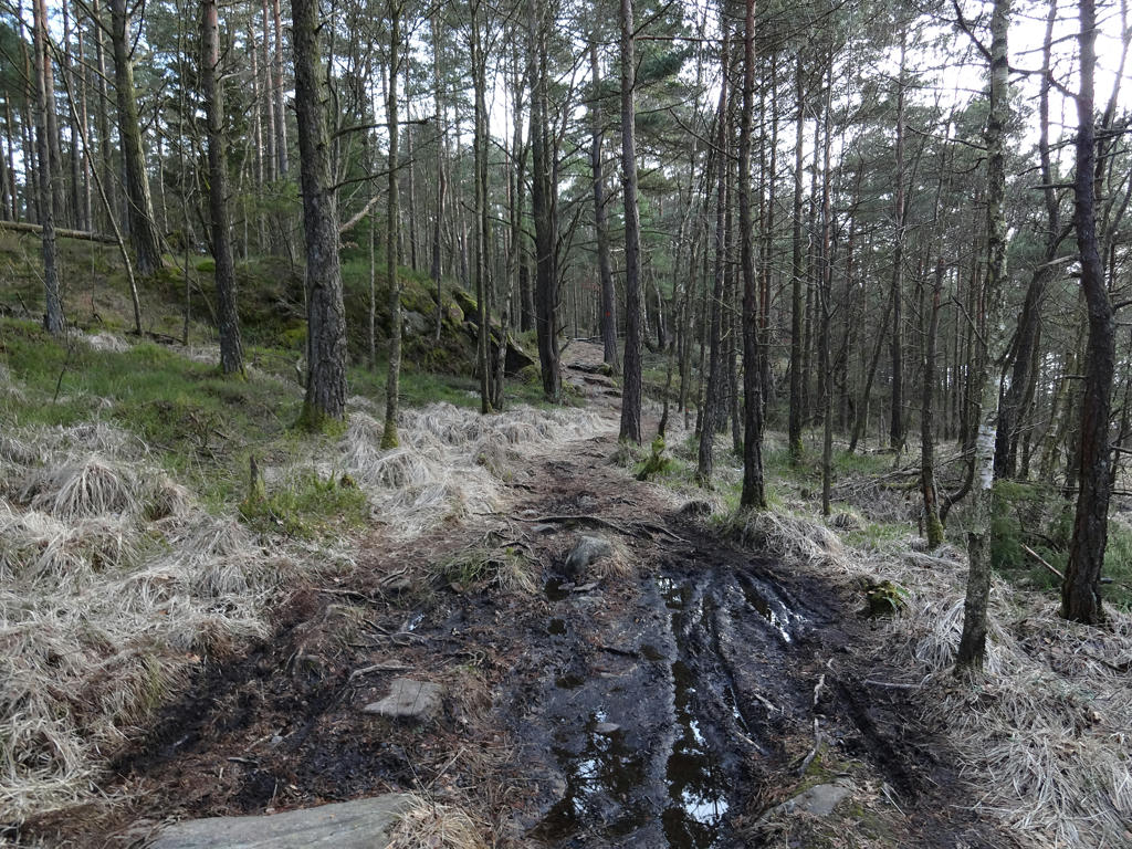
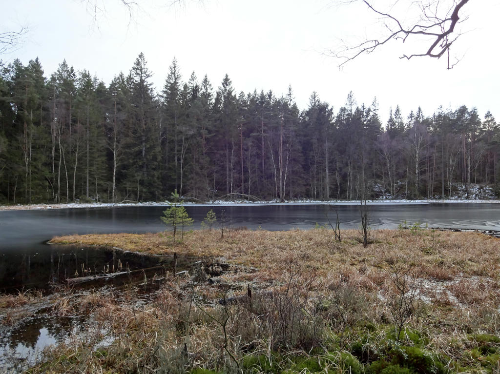
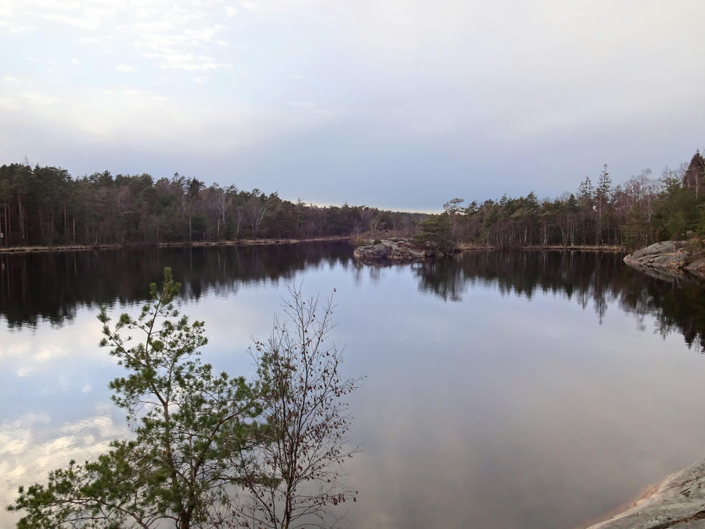
During this specific Vättlefjällsleden walk it was cloudy most of the day (with sun appearing here and there) and the temperature was about 5 to 10 degrees (in the evening especially it got quite cold). There was still some snow on the ground actually (in the weeks that followed it actually snowed a couple of more times). Sure, there were no leaves on the trees but it still looked beautiful. In a couple of places there was plenty of mud but still less than I expected. Some of the rocks were wet and slippery though.
In any case the photos from this walk are shown below. Enjoy!
1.
2.
Surtesjön. Increased the brightness using the levels tool for the photo overall. Also increased the brightness and contrast for the non-sky parts using the levels tool.
3.
Next to Surtesjön.
4.
5.
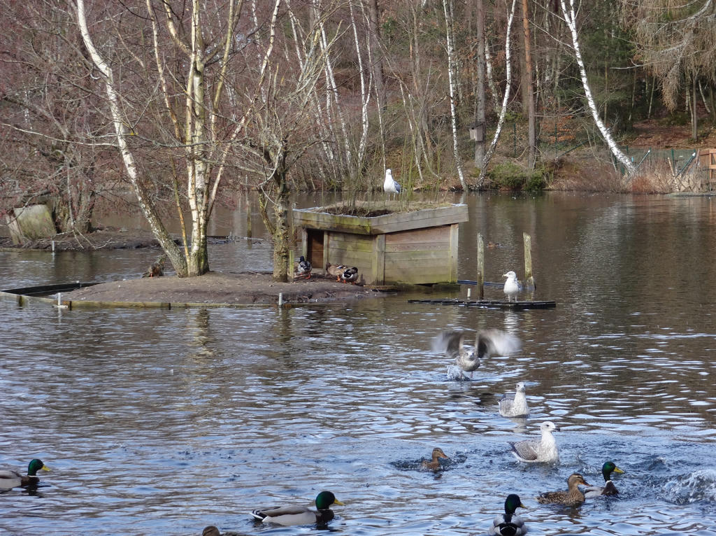
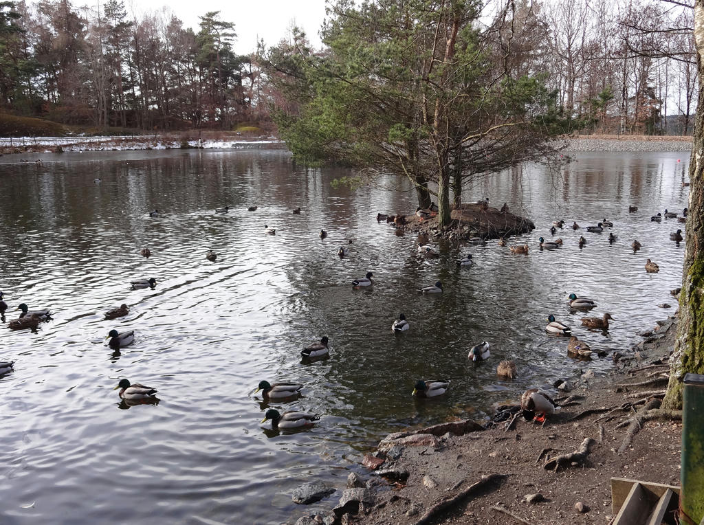
Fågeldammarna
Fågeldammarna is a set of ponds which were used in the past as a water reservoir for mill activity and for the power plant powering the glassworks in Surte. Since the end of the 1950's they instead serve as bird ponds for many colorful birds.
I happened to take a photo of a flying sea mew, which is pretty interesting.
Rotated the photo slightly and cropped it.
6.
Fågeldammarna. Rotated and cropped the photo.
7.
8.
9.
Snäckemossen. Rotated the photo slightly and cropped it.
10.
11.
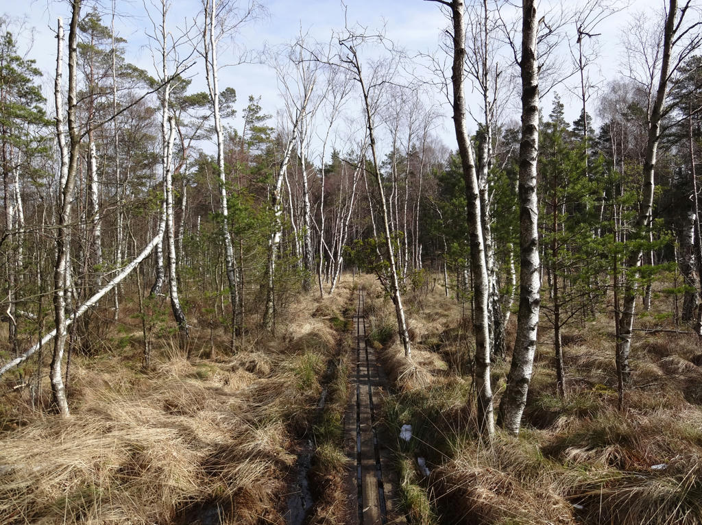
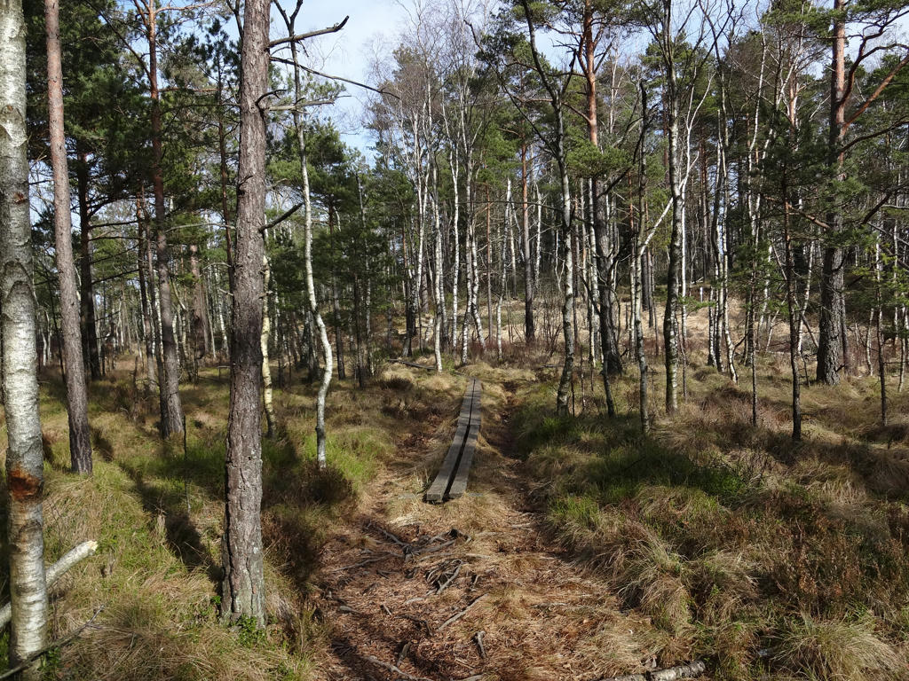
Nordmossen. Vättlefjällsleden used to go across this bog. I remember going through here at least the first time I walked Vättlefjällsleden.
Rotated and cropped the photo. Also brightened the non-sky parts slightly.
Rotated and cropped the photo. Also brightened the non-sky parts slightly.
12.
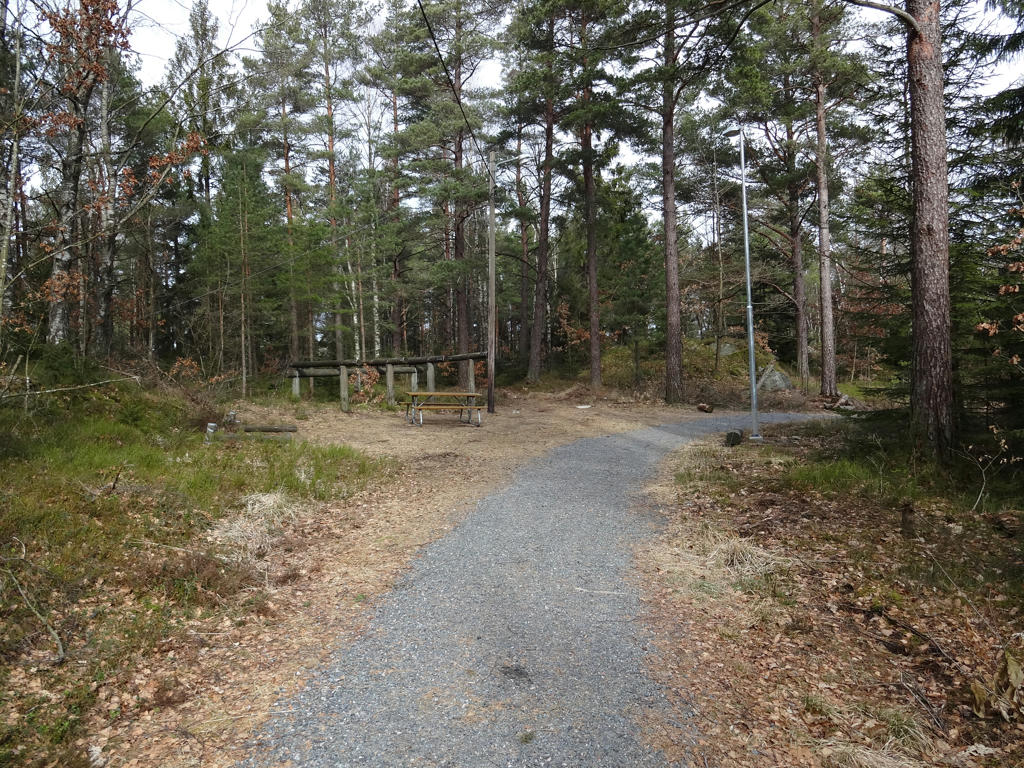
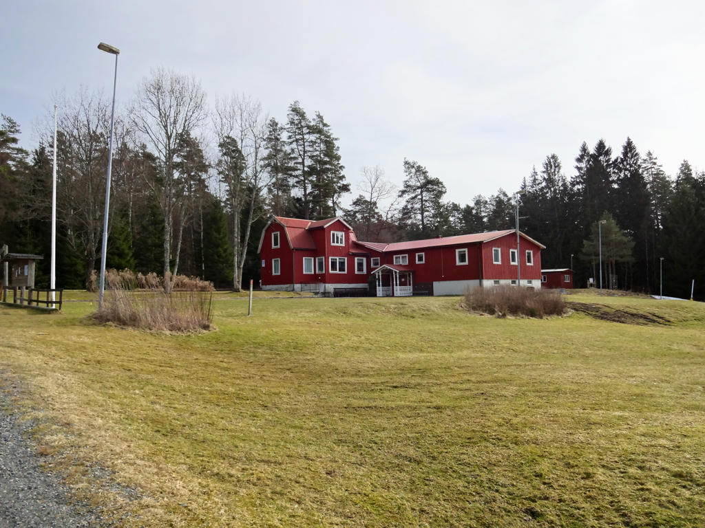
Nowadays this part of Vättlefjällsleden goes at the gravel road/jogging track near Jennylund.
13.
Lillebrunn
14.
Stora Mettjärnen. Increased the contrast slightly using the levels tool. Also rotated the photo slightly and cropped it.
15.
16.
17.
Dammekärr. Brightened the non-sky parts using the levels tool.
18.
19.
Used the levels tool to first increase the brightness for the photo overall and then increase the brightness for the non-sky parts.
20.
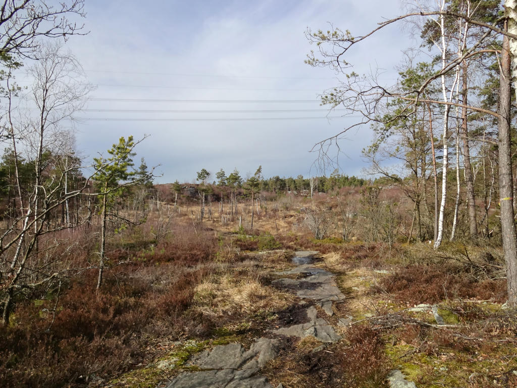
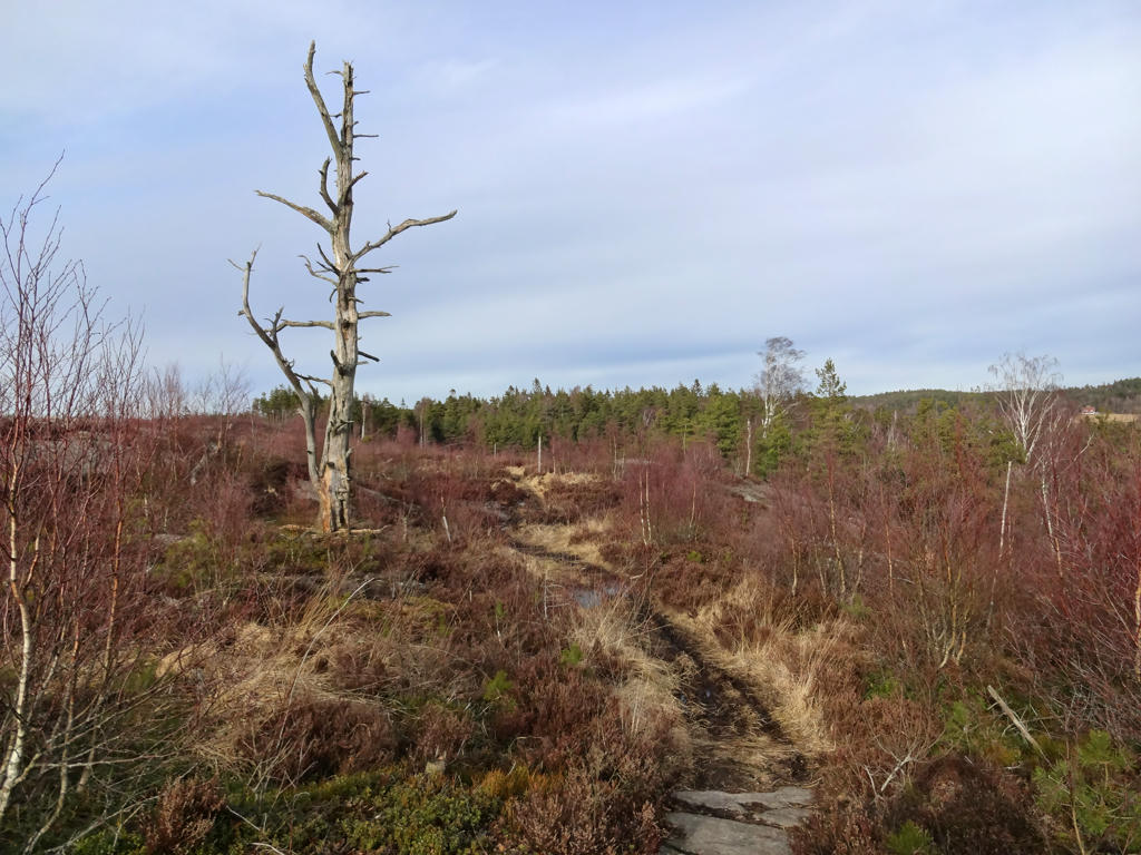
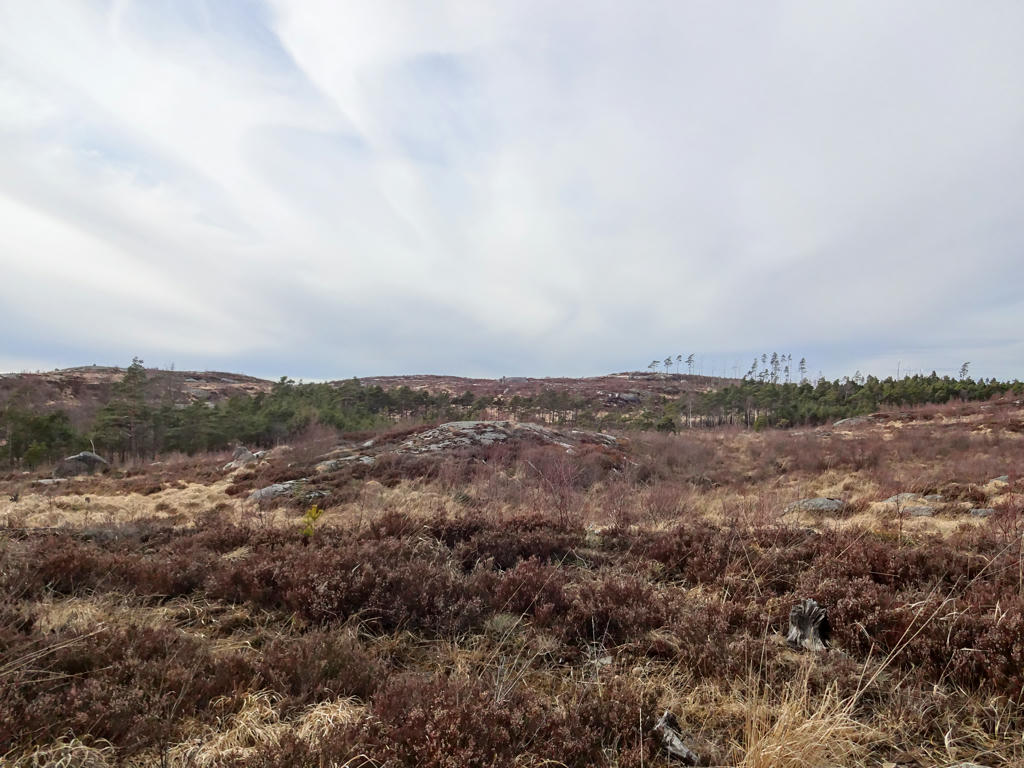
In this and the following 3 photos one of the most interesting parts of Vättlefjällsleden is shown. It's probably at least one of the places which give the nature reserve its' name (fjäll means mountain but in Western Sweden it generally refers to either a mountain or a flat landscape which is more high-lying than the surroundings (the latter meaning applies here for the most part)).
Increased the brightness using the levels tool.
Increased the brightness using the levels tool.
21.
Increased the brightness and contrast for the non-sky parts using the levels tool. Also sharpened the photo slightly using unsharp mask. Finally for the sky part I increased the brightness slightly using the levels tool.
22.
Orrekärr. Rotated and cropped the photo.
23.
Brightened the photo using the levels tool.
24.
Svaltekärr. Increased the contrast slightly for the non-sky parts. Also rotated the photo slightly and cropped it.
25.
Increased the brightness for the non-sky parts.
26.
Lysevattnet. For the non-sky parts I first increased the brightness using the levels tool and then using the curves tool. I also increased the contrast slightly for the non-sky parts.
27.
28.
Stora Kroksjön. Increased the contrast for the non-sky parts.
29.
Sharpened the photo slightly using unsharp mask. Then for the non-sky parts I slightly increased the brightness using the levels tool.
30.
Skyrsjön. Rotated and cropped the photo. Also increased the brightness and contrast using the levels tool.
31.
32.
Sharpened the photo slightly using unsharp mask.
33.
Abborrtjärnet. Rotated the photo slightly and cropped it. Also sharpened the photo slightly using unsharp mask. Finally I brightened the non-sky parts using the levels tool.
34.
Tjuvtjärnet. Rotated the photo slightly and cropped it. Also increased the contrast for the non-sky parts using the levels tool. Finally I sharpened the non-sky parts slightly using unsharp mask.
35.
Toleredssjön. Brightened the non-sky parts using the levels tool. Also sharpened the non-sky parts slightly using unsharp mask.

Inga kommentarer:
Skicka en kommentar