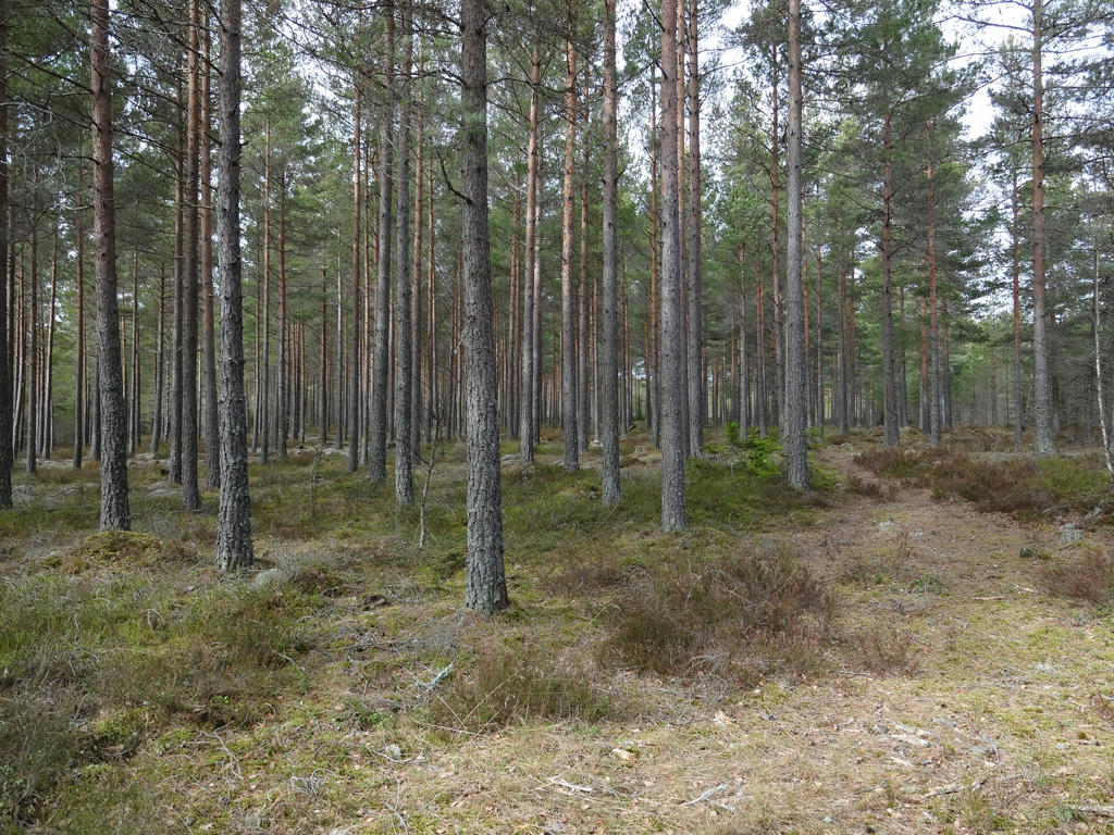
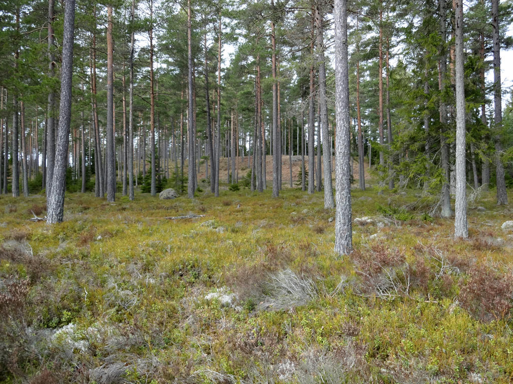
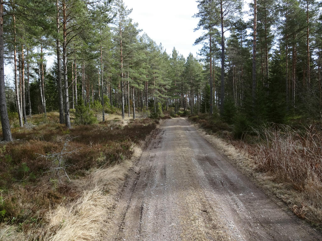
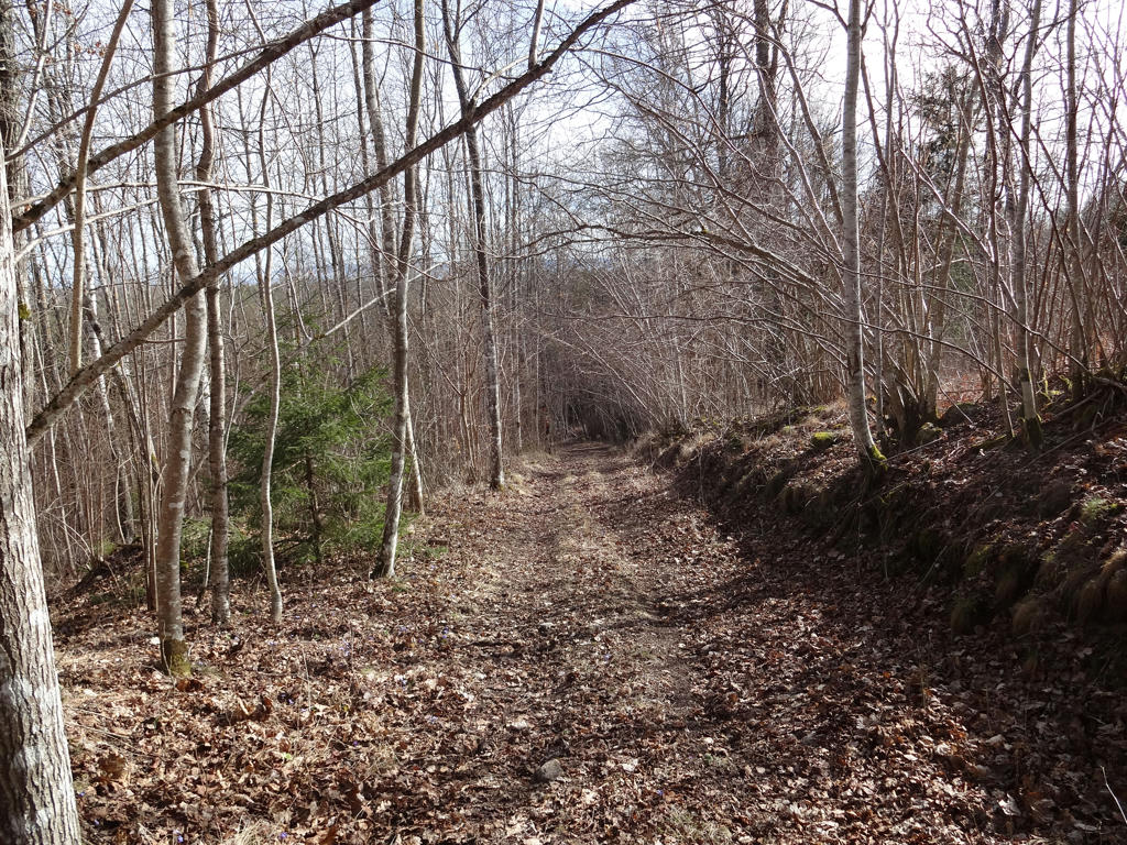
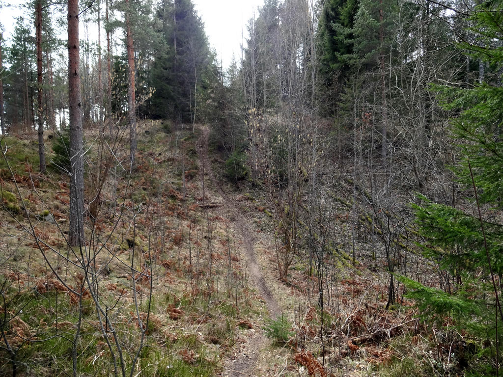
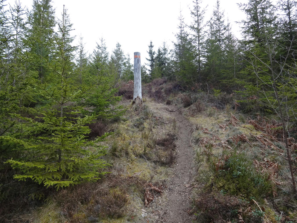
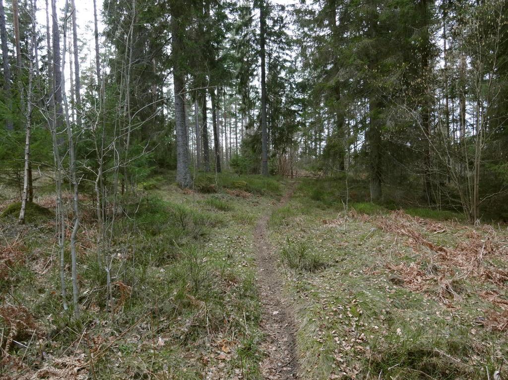
In any case the walk was quite interesting. The most noticeable characteristic of the walk is that most of it went through fine sand forests (moskog or tallmo) which are characterized by being very open and having low vegetation with the exception of scots pines and other coniferous trees. This type of forest is very beautiful and can also be found for instance when walking some of the other parts of Västra Vätterleden. Another characteristic of the walk is that it is slightly more demanding than usual (more variations in height). Finally it can be noted that the walk goes for the most part on trails in the woods rather than tractor or gravel roads.
Just as during the previous walk it was pretty cold but it was also cloudy for the most part. Either way, I hope you enjoy the photos presented below!
1.
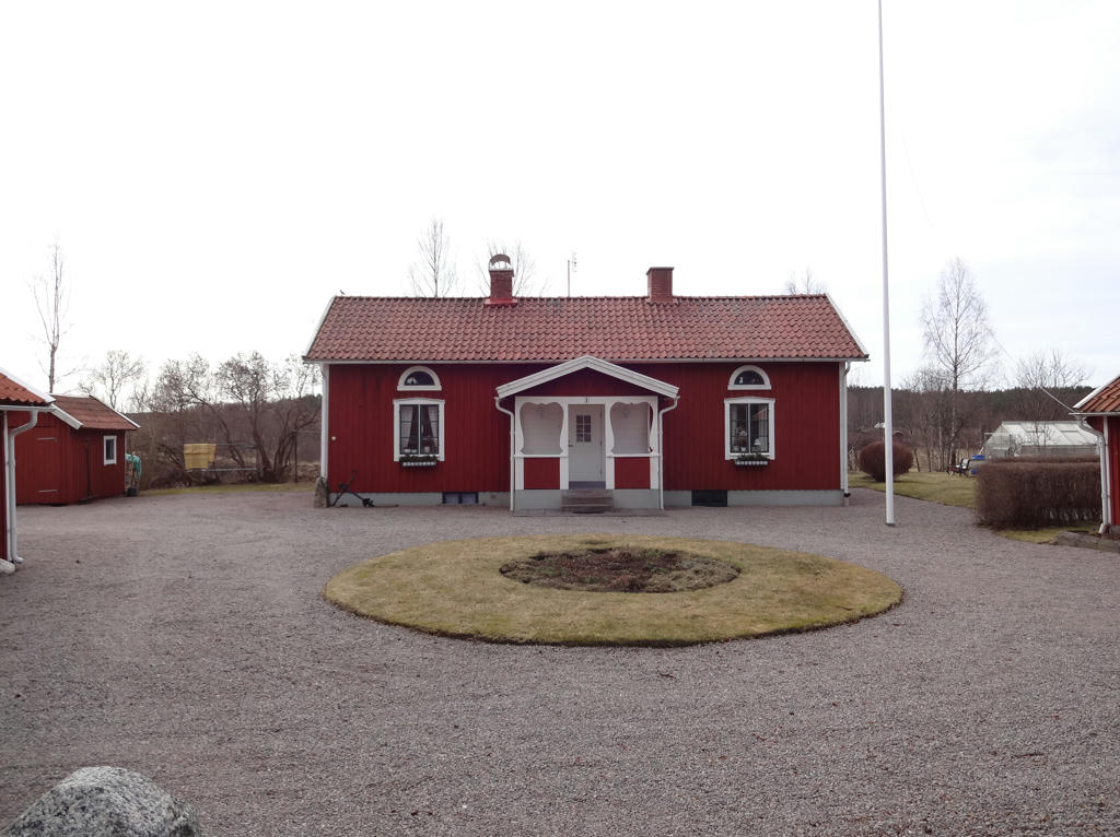
Rattaregården. Rotated the photo slightly and cropped it.
2.
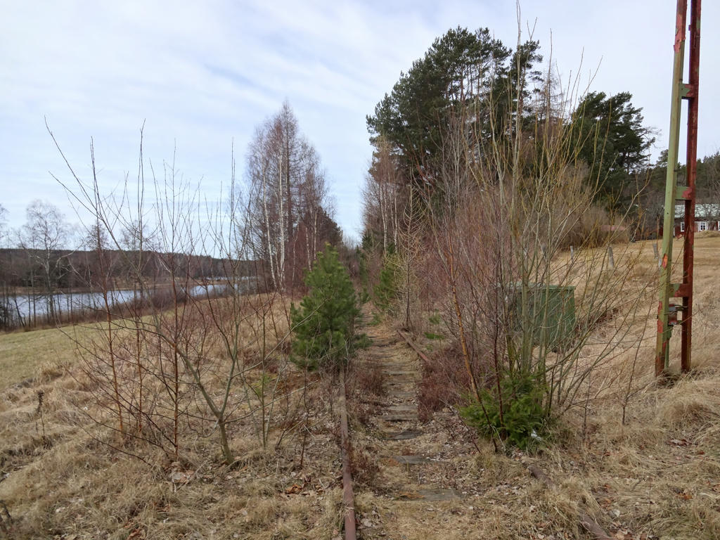
Old railway to Karlsborg
In 1876 the railway to Karlsborg was opened, which contributed to the large expansion of Mölltorp. The passenger transportation was discontinued in 1986, but the rails still remain. The lake Kopparsjön can be seen in the background.
Used the levels tool to increase the brightness and contrast for the photo overall. Then I further increased the brightness for the non-sky parts using the levels tool.
3.
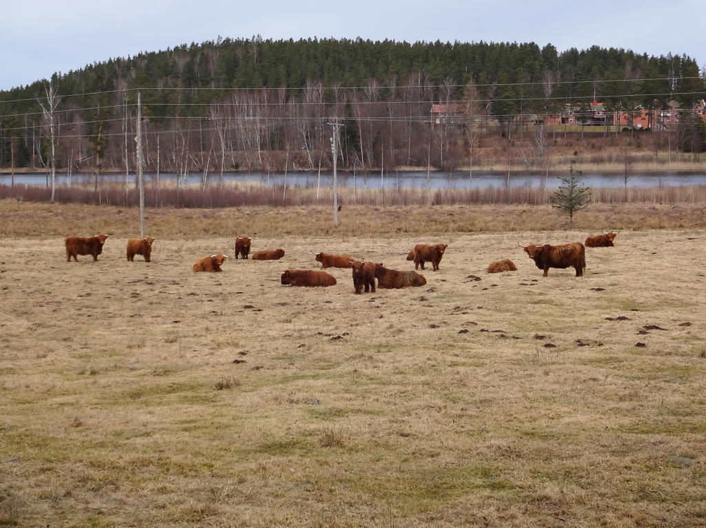
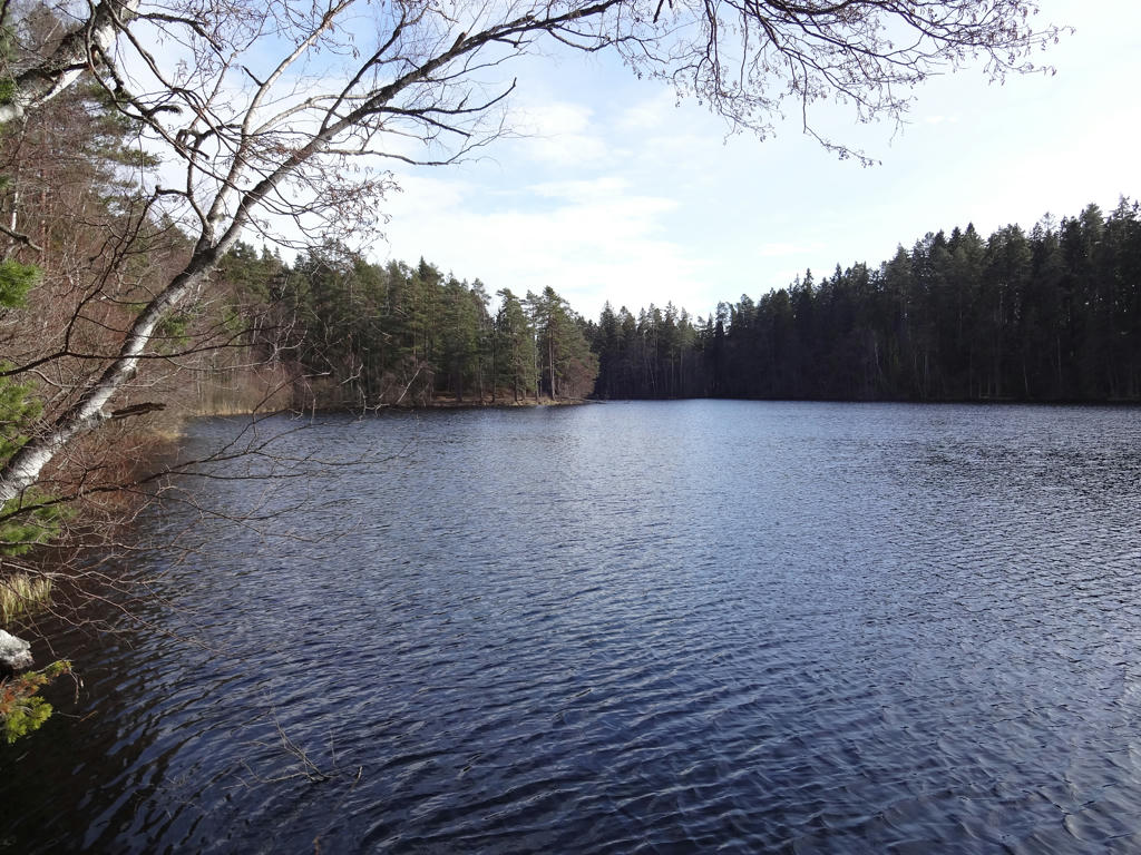
Kopparsjön
Kopparsjön was originally a glacial kettle. 100 years ago the name was Björsjön. It is unknown why the name was changed but maybe Kopparsjön (copper lake) makes more sense considering that the stream/creek nearby was called Kopparbäcken (copper creek) even back then and the bridge you cross is called Kopparbron (copper bridge) according to the economic map from 1877-82.
Brightened the non-sky parts using the levels tool. Also rotated the photo slightly and cropped it.
4.
5.
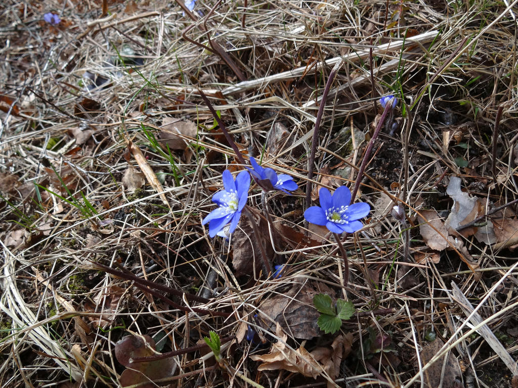
Common hepaticas/liverworts
6.
7.
Increased the contrast for the non-sky parts using the levels tool.
8.
Used the levels tool to reduce the effect of the blue channel (reduce blue cast) for the non-sky parts.
9.
10.
11.
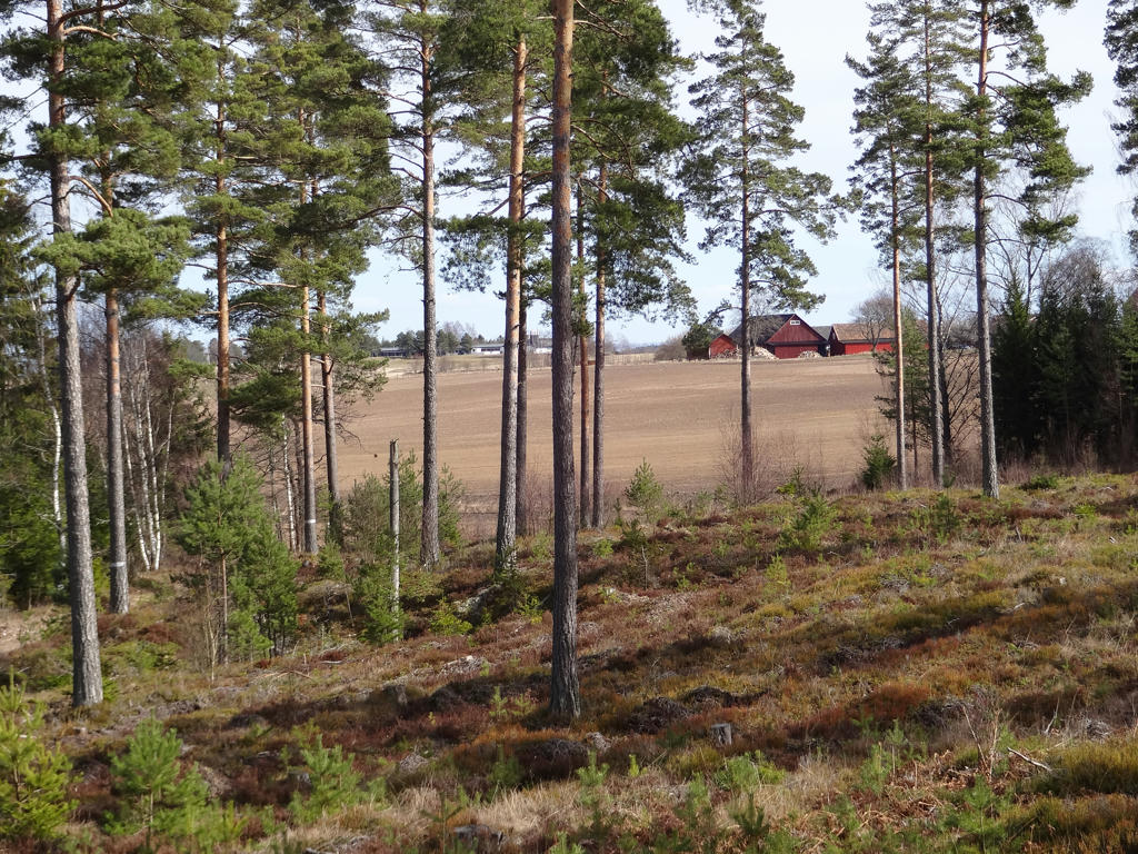
Interesting contrast between the forest and the farm land.
12.
Used the hue restorer plug-in to get rid of the cyan-ish sky color. Also increased the contrast slightly for the non-sky parts.
13.
For the non-sky parts I first equalized the histogram and then I slightly reduced the effect of the blue channel (reduced the blue cast) using the levels tool. Then I brightened the non-sky parts slightly using the levels tool.
14.

Brightened the non-sky parts slightly using the levels tool and then I also slightly increased the contrast for the non-sky parts.
15.
16.
In the Stora Röå nature reserve.
At Stora Röå, a delta-like area formed when the inland ice melted. This delta was created when the ice rivers transported large quantities of material - sand, gravel and stones - which became the building blocks in a new landscape.
Needless to say, Stora Röå is just a small part of what used to be a large delta, but it is still an incredibly valuable area in scientific terms. It contains keys and tools for interpreting the complicated process associated with the melting of the inland ice.
As a result of the melting of the inland ice, Stora Röå is a broken landscape with a large number of ridges and hills.
For the non-sky parts I used the levels tool to reduce the effect of the blue channel (reduced blue cast) and to increase the brightness.
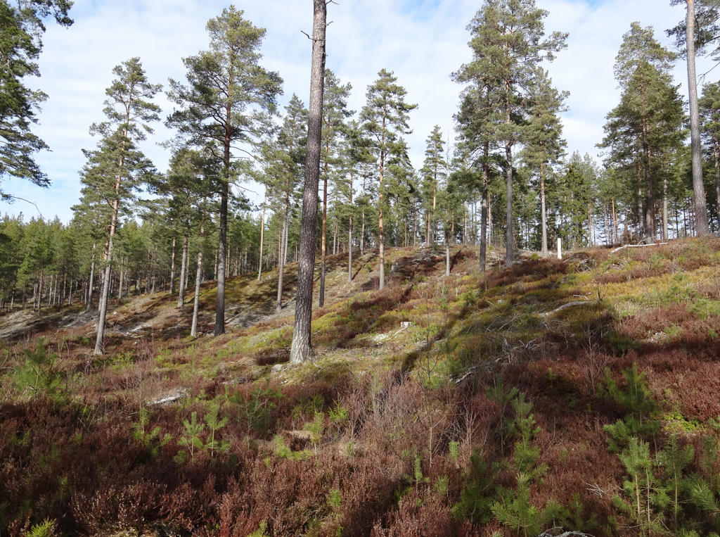
17.
Röåsjön
Röåsjön lacks any inflows or run-offs. Only early in the spring is there some water in the ditch which leads water away from the nutrient-poor lake. This is the type of lakes which is hit hardest by the ongoing acidification. The surrounding lands are meager and covered with coniferous forests and therefore have difficulty in absorbing the acid rainfall. The lake is 8 meters deep and has implanted fish. In 1936 the 10-year old son was bathing in the lake together with his nursemaid and stomped in one of the holes at the bottom of the lake and was close to drowning. The nursemaid or handmaid was not able to swim but still tried to rescue the boy. She succeeded in doing so but lost her life as the result.
Röåsjön lacks any inflows or run-offs. Only early in the spring is there some water in the ditch which leads water away from the nutrient-poor lake. This is the type of lakes which is hit hardest by the ongoing acidification. The surrounding lands are meager and covered with coniferous forests and therefore have difficulty in absorbing the acid rainfall. The lake is 8 meters deep and has implanted fish. In 1936 the 10-year old son was bathing in the lake together with his nursemaid and stomped in one of the holes at the bottom of the lake and was close to drowning. The nursemaid or handmaid was not able to swim but still tried to rescue the boy. She succeeded in doing so but lost her life as the result.
18.
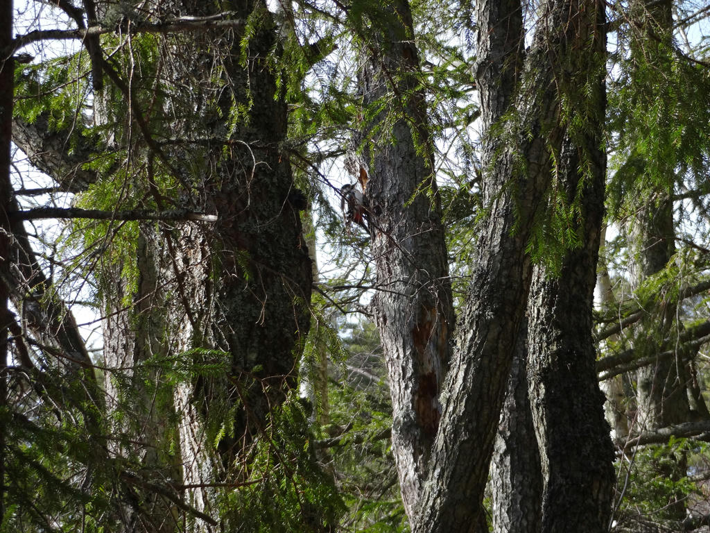
A great spotted woodpecker
19.
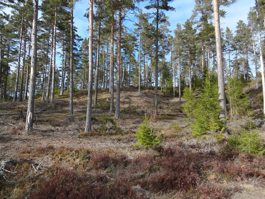
Skallhultsplatån
Skallhultsplatån is a large alluvium with a triangular shape and a plane top area.
Rotated and cropped the photo.
Skallhultsplatån is a large alluvium with a triangular shape and a plane top area.
Rotated and cropped the photo.
20.
Inga kommentarer:
Skicka en kommentar