In either case the journey back home was more complicated, mostly due to my own fault. The local traffic only is available at certain hours, in the evening between 18:00 and 19:00 and between 21:00 and 22:00. I wasn't able to end the walk at 18:00 so that option failed. Well, when I arrived at the end of the walk I was at road 164 near Övre Buane. I thought it wouldn't be too hard to hitchhike. Well, I was wrong, very wrong. Firstly, the road didn't have as much traffic as expected and secondly Swedes aren't exactly fans of hitchhikers (on one hand that's understandable because of the issues in Sweden but on the other hand I don't really look foreign or dangerous, so yeah). So my second option (other than hitchhiking) was to order local traffic between 21:00 and 22:00. To do that you need to call one hour earlier. However when ordering you need to have the exact address where you should be picked up. I thought Brandbäck 1 is the correct address but it turned out that Övre Buane Brandbäck 1 is the correct address. For some reason I thought the local place wasn't part of the address. In either case that effort failed because I wasn't able to give them the correct address. Alright, so I kept trying hitchhiking, the problem however was that it was getting dark and by the time I actually managed to hitchhike it was already almost entirely dark. I had a small but weak flash light but no reflex vest. So I learned my lesson. I should have brought a good flash light and a reflex vest. Another option I had was to walk in the direction of Östad but even to get to an intersection where there might be more car would require 10.8km of walking and to get to Östad I would need to walk in total 13.1km. Anyway, like I said I managed to hitchhike eventually (at around 20:50). The man who picked me up was a stonemason/stonecutter working and living somewhere around this region. I arrived in Östad at 21:10 and started driving home at 21:25. Finally I was home at 23:20. It was quite a journey back to say the least.
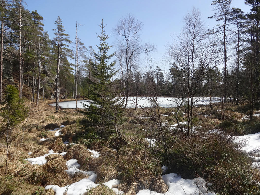
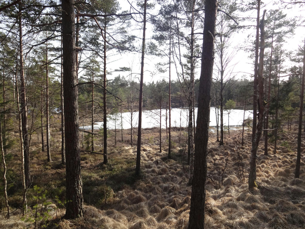
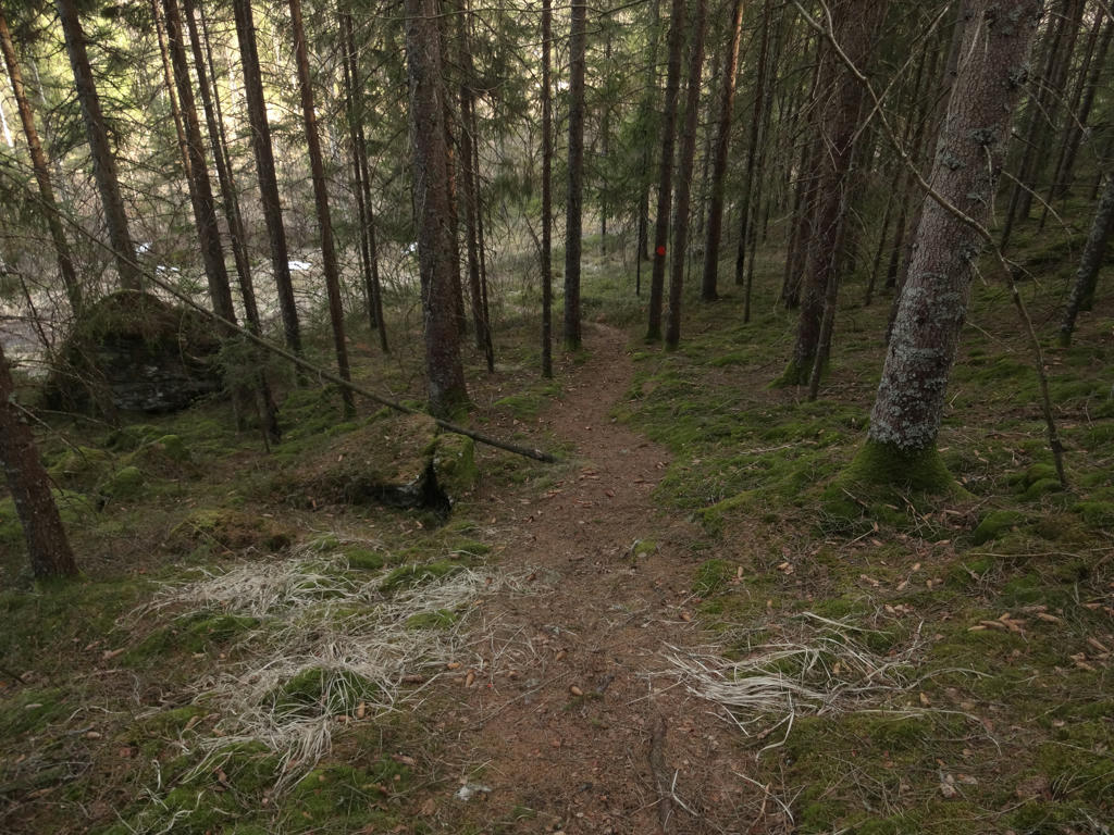
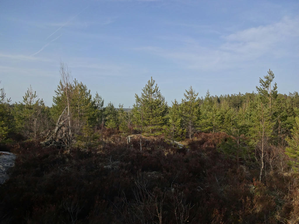
Now I've talked about the journey to the start and the journey back but what made the walk itself so slow and complicated? Well, I believe this is the walk I've been on that is furthest away from civilization. The terrains are pretty wild. Basically once you go a few kilometers after Vassbotten you pretty much won't see any building (or any people for that matter) until you reach road 136 at the end of the walk. It is not only wild but the terrains are very complicated to walk through. The fact that almost all snow had melted didn't make things easier as the ground was very wet as you might expect and that made things even harder. For obvious reasons I had to change my socks several times. I put plastic bags on my socks as it tends to help quite a bit. One of the main characteristics of the walk until Nornäs is that the trail goes near several small lakes and it also goes through an open terrain with low vegetation where it's easy to get lost (and lost I did get, several times). After Nornäs the trail goes through a more regular forest but some of the segments still feel quite wild and complicated. But regardless of the complicated nature of this walk it was very beautiful. It's a kind of beauty this wild terrain gives. On the topic of wilderness I did see a moose/elk but it ran away before I was able to take photograph it. I also saw a fox and two deer when I was driving to Östad. Anyway, the photos will probably give you a much better idea of the character of this walk. Enjoy!
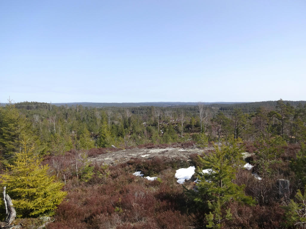
1.
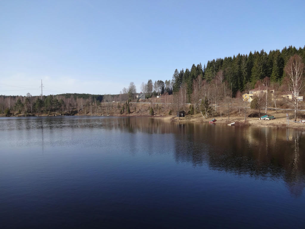
Norra Bullaresjön and view of Vassbotten.
2.
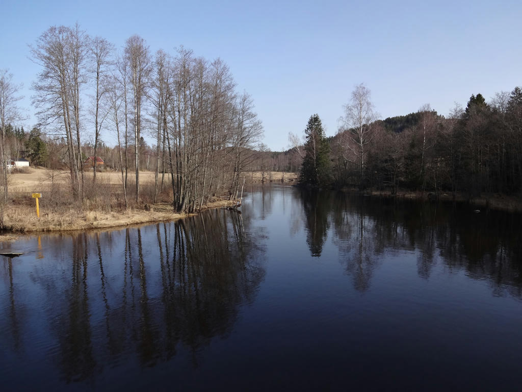
"River" connecting Norra Bullaresjön and Gatetjernet (in Norway).
3.
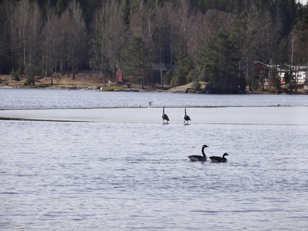
Canada Geese (at Norra Bullaresjön).
4.
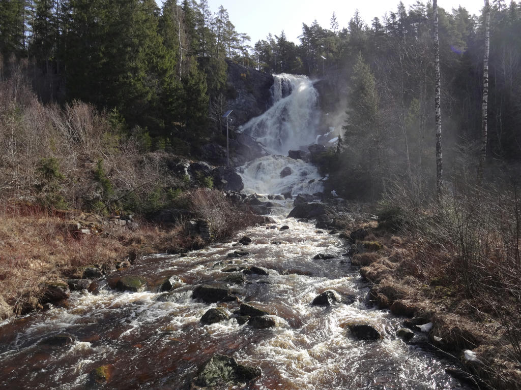
Älgfallet (Elgfallet in Norwegian). This is Bohuslän's highest waterfall (46 metres height). Technically it is in Norway but there's no one watching the border and besides Swedish (or EU) citizens can go to Norway without problems. It was a bit of a detour (which explains the 2*0.4km part I mentioned in the introduction) but it's still part of Bohusleden.
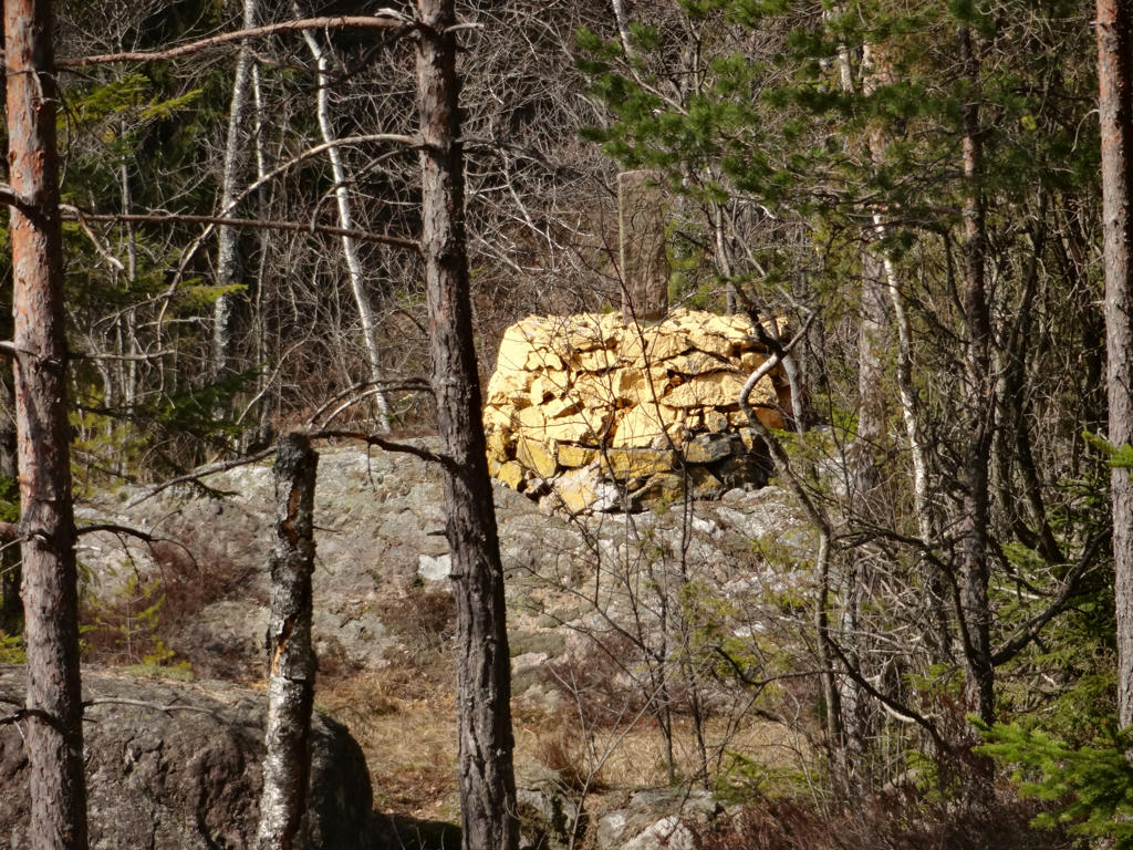
5.
Ruins after the croft Fjället.
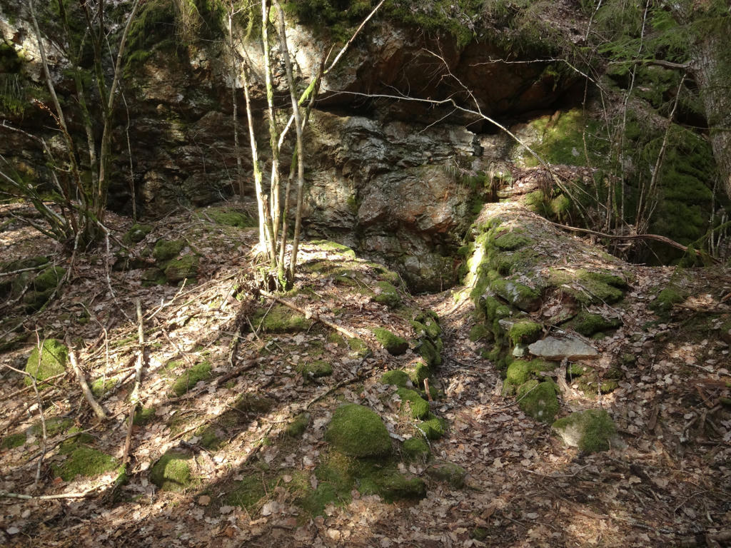
6.
7.
Bockögat
8.
Stutögat
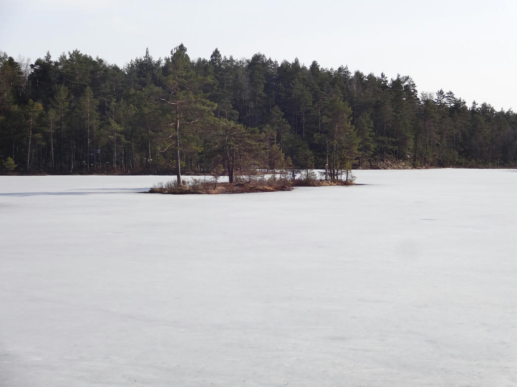
9.
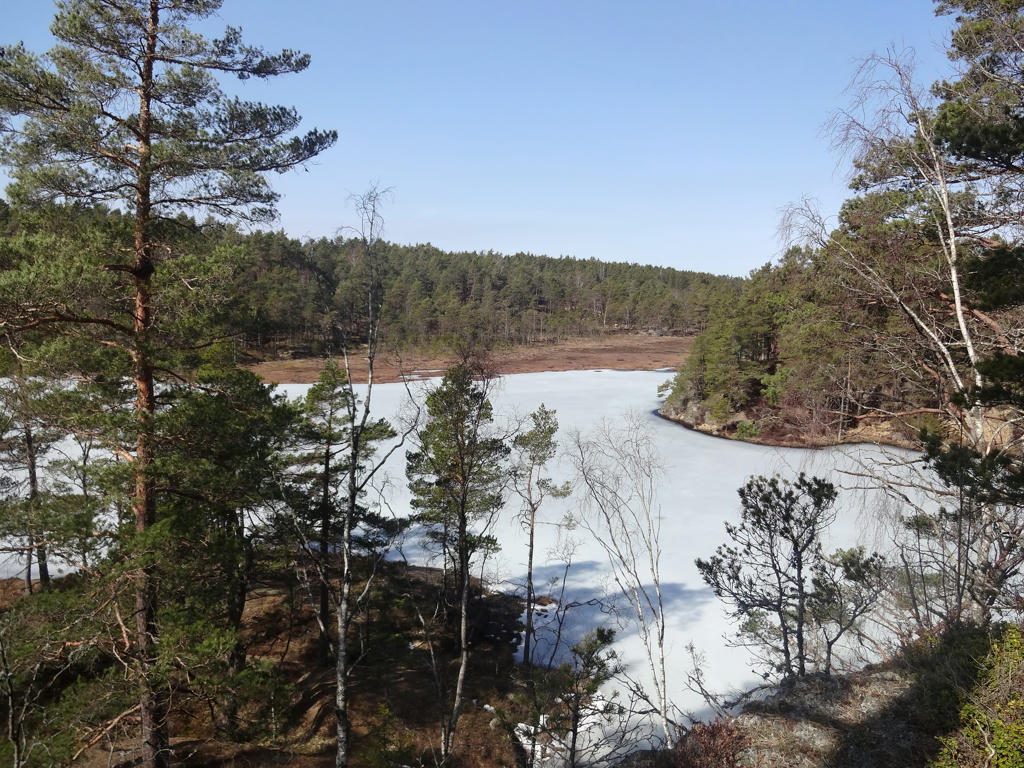
Branntjern. Increased the contrast slightly using the brightness-contrast tool.
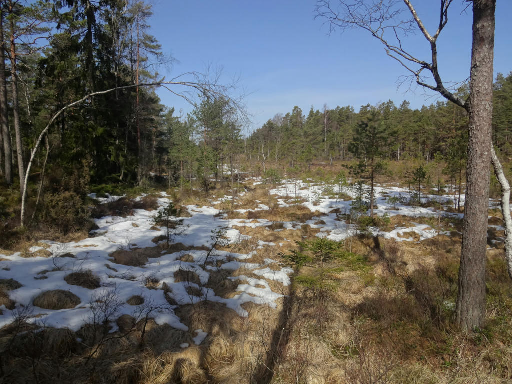
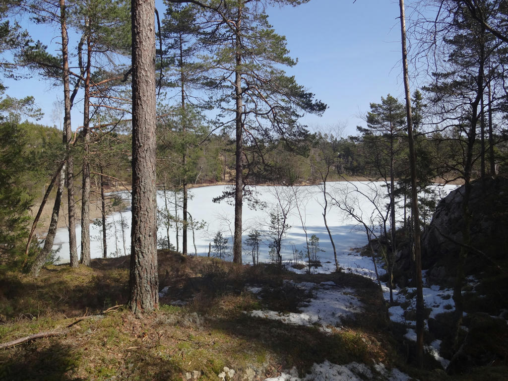
10.
Abborrtjärnen
11.
Sladtjärnen
12.
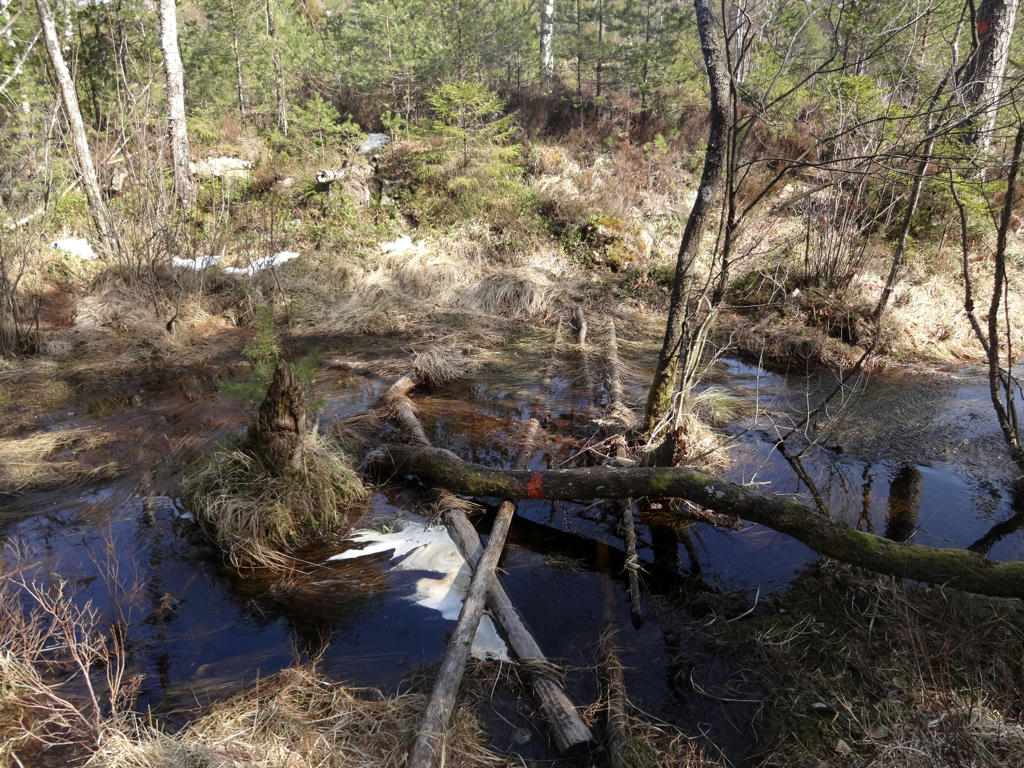
One of the difficult parts of the walk, near Sladtjärnen. I had to go around on the left side to get to the other side, it wasn't easy to say the least. I did stomp in the water by mistake.
Increased the brightness and contrast slightly using the levels tool.
Increased the brightness and contrast slightly using the levels tool.
13.
The walk went through this type of low vegetation open terrain to some extent and as I've mentioned above it was easy to get lost here. Increased the brightness and contrast slightly using the levels tool. Also brightened the photo further using the curves tool.
14.
National carin/landmark marking the border between Sweden and Norway.
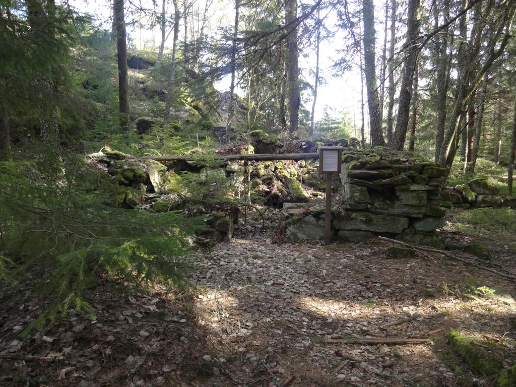
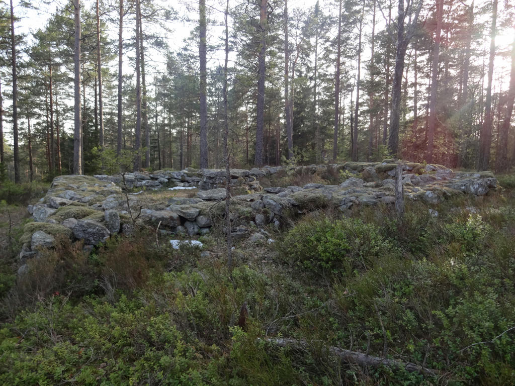
15.
Ruins of a dwelling which used to belong to a lonely outlaw. It turned out that the outlaw was one of the people who conspired to assassinate Gustav III of Sweden.
16.
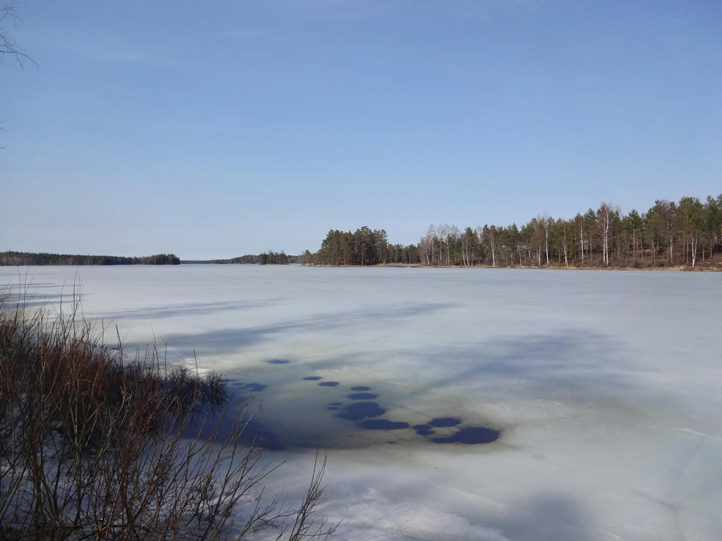
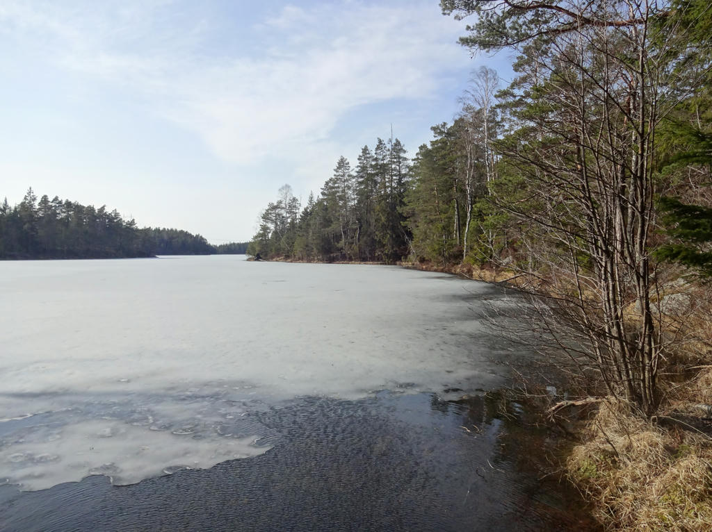
Norra Kornsjön
17.
Mellan-Kornsjön
18.
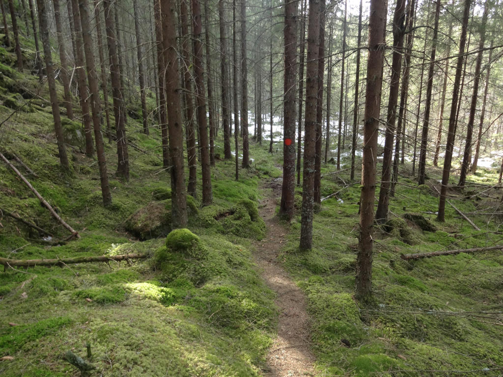
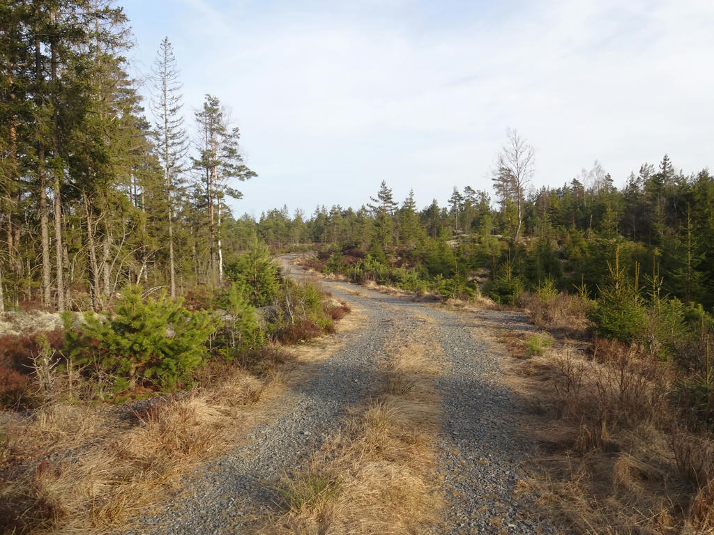
Short but nice segment going through a coniferous forest.
19.
Tresticketjärnen. Rotated the photo slightly and cropped it. Also increased the brightness and contrast slightly for the sky using the levels tool. Finally I increased the contrast slightly for the non-sky parts using the brightness-contrast tool.
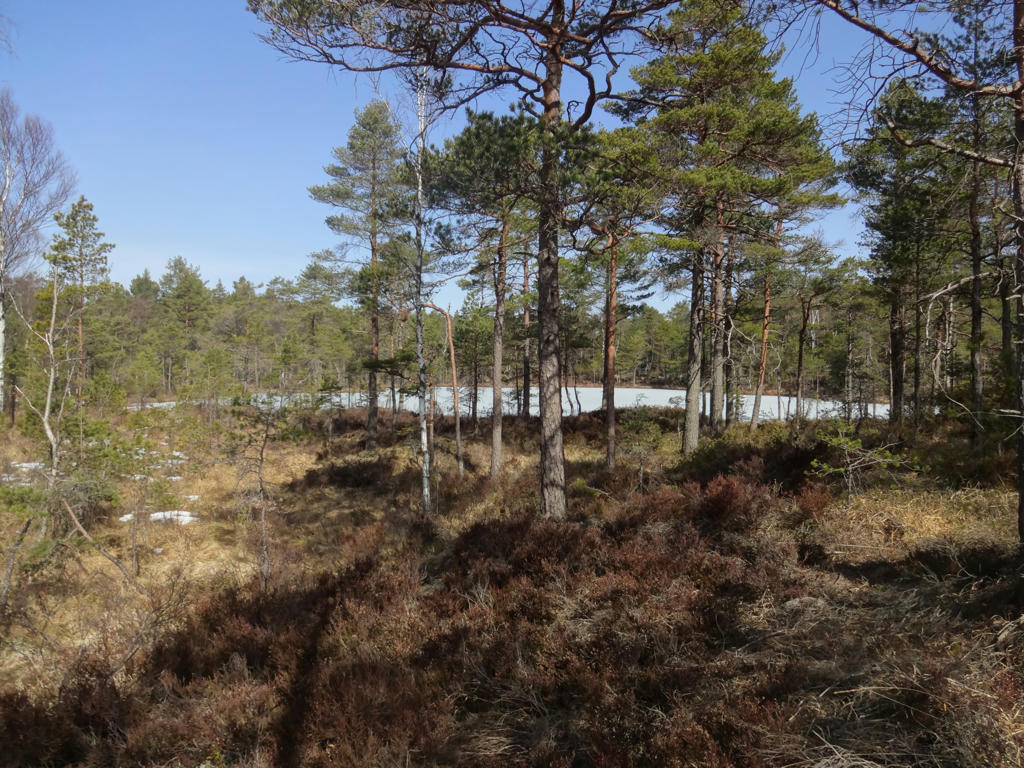
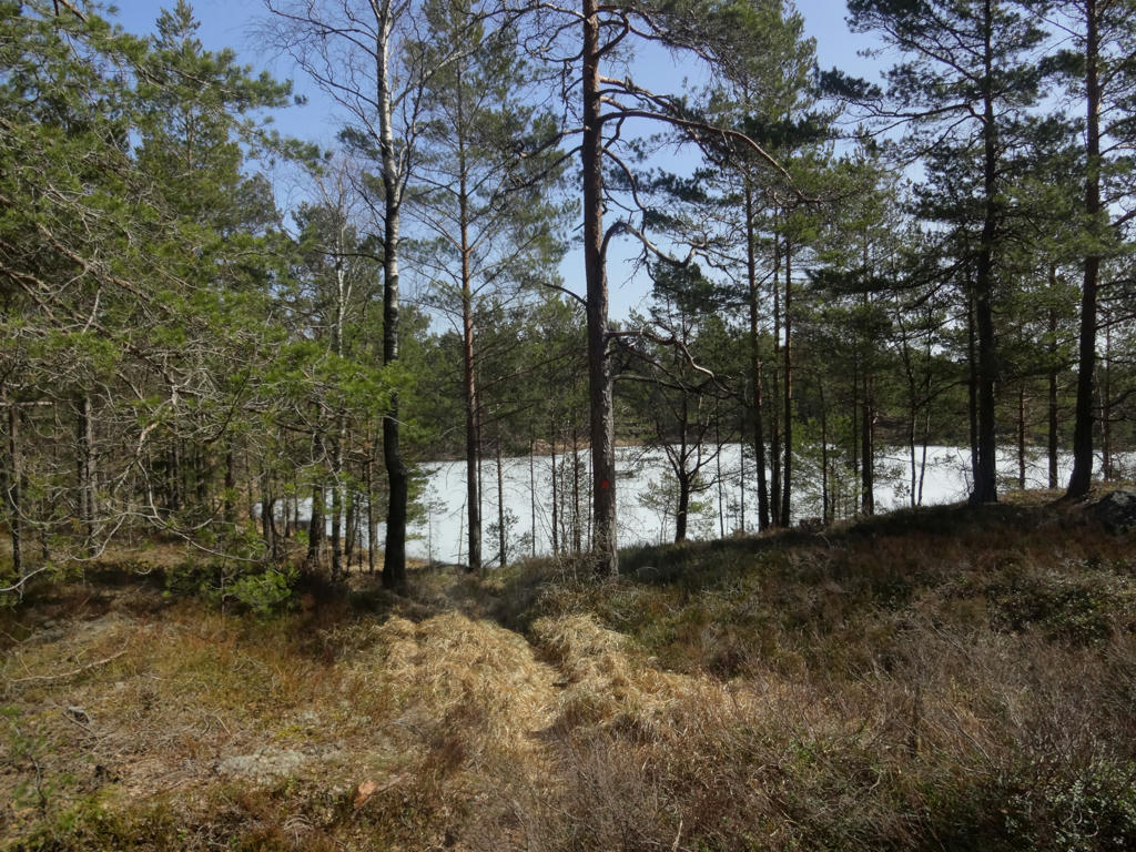
20.
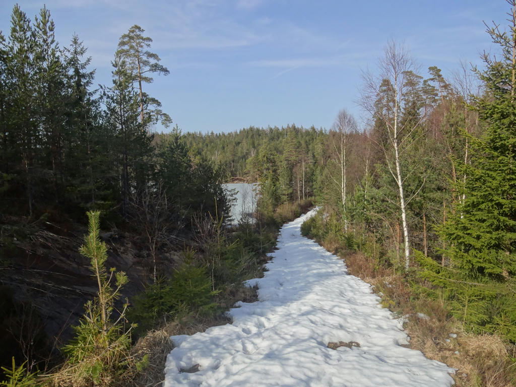
Snowy path and view of Tresticketjärnen (in the background).
21.
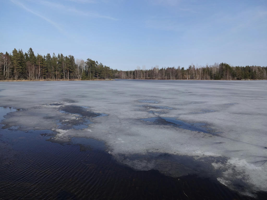
Svantjärnen
22.
Hjälmtjärnen
23.
24.
25.
Church village (kyrkby) ruins near Porsås.
26.
Inga kommentarer:
Skicka en kommentar