In the morning I travelled to Österbymo by car in the morning. I started the journey at 06:49 and arrived at 10:01, which means the car travel took 3h12mins. This isn't strange considering that Österbymo is roughly 241km away from home. Anyway, I parked my car in Österbymo and I used the local traffic (närtrafik) at 10:52 to get to the start of Östgötaleden at the county border between Småland and Östergötland. Note that local traffic (närtrafik) has to be booked at least 2 hours before the journey.
Anyway, I started the walk at 11:10 and I walked in total 19.8km (out of which 0.2km at the end was required to go from the trail in Österbymo to the car). The walk took in total only 4h51mins which means that my average speed was 4.08km/h. The reason for this fast speed is that the walk goes almost entirely on gravel roads or asphalt roads and doesn't have any complicated segments.
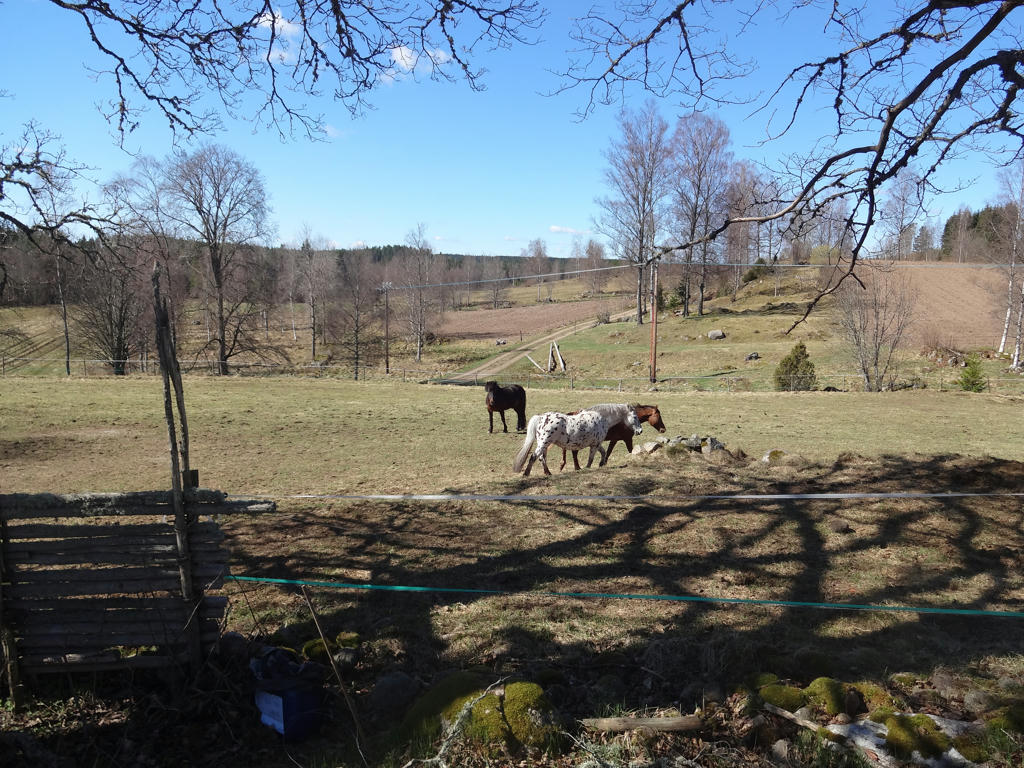
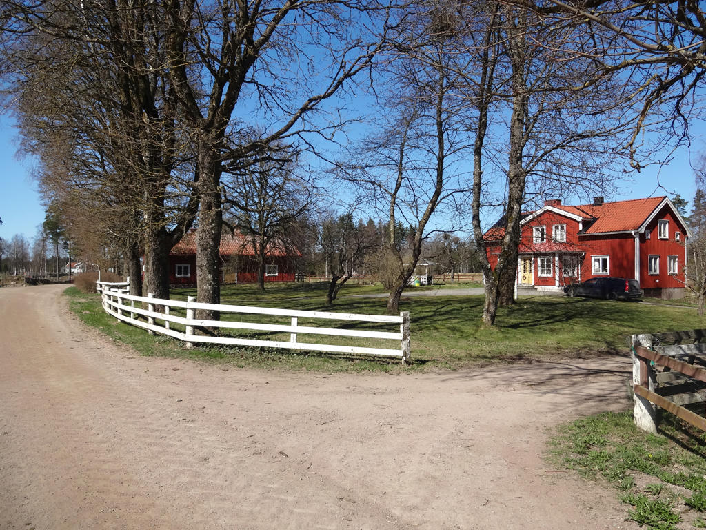
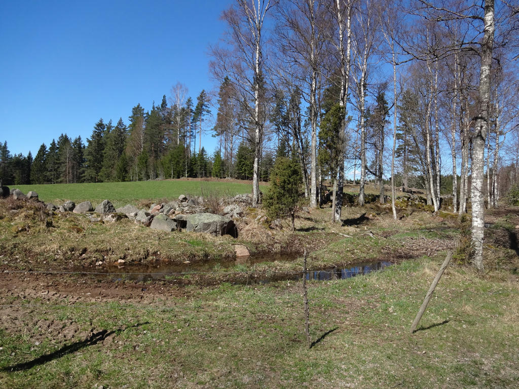
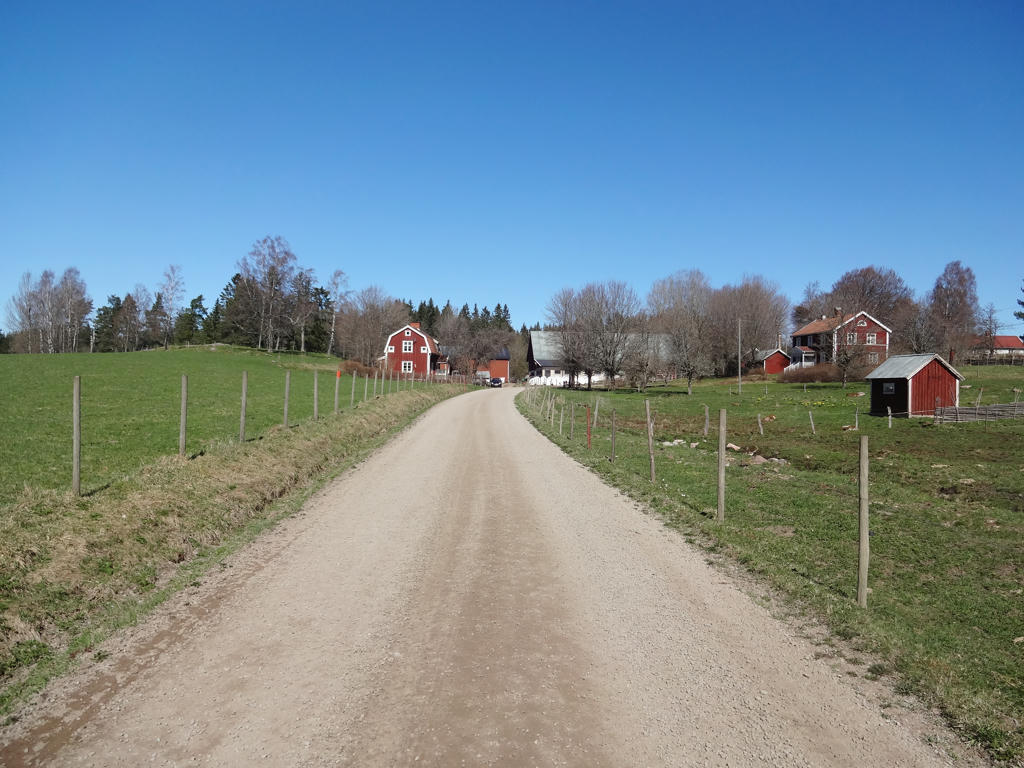
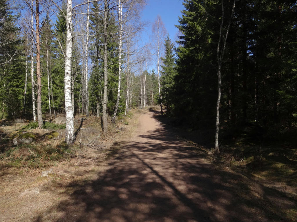
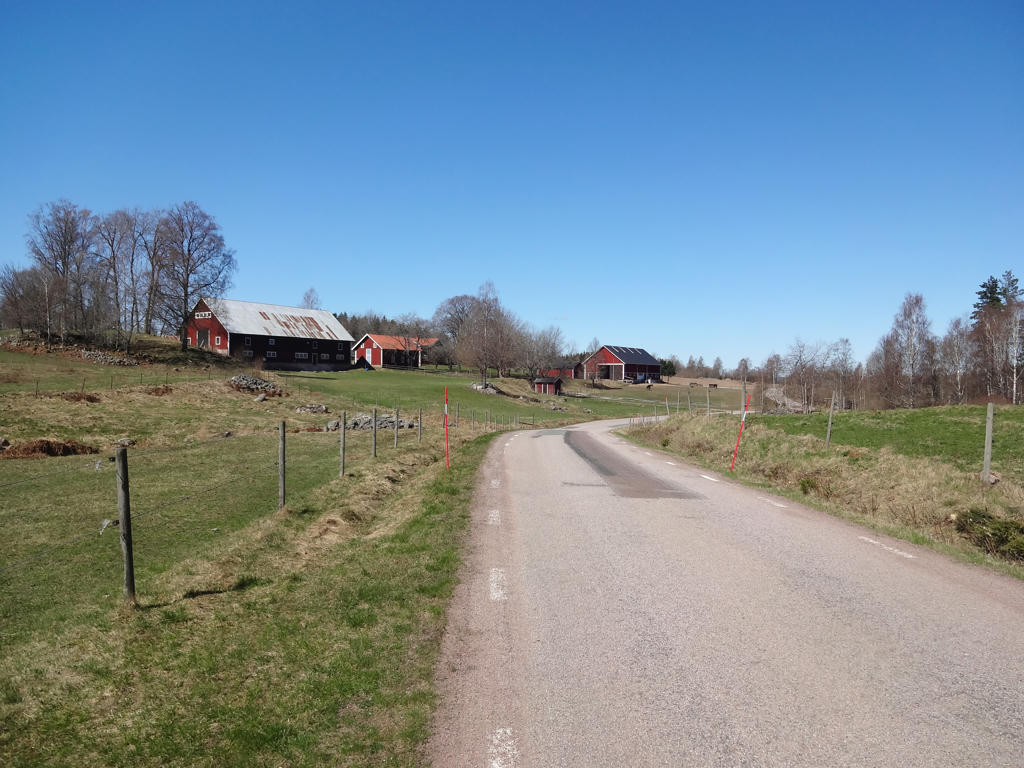
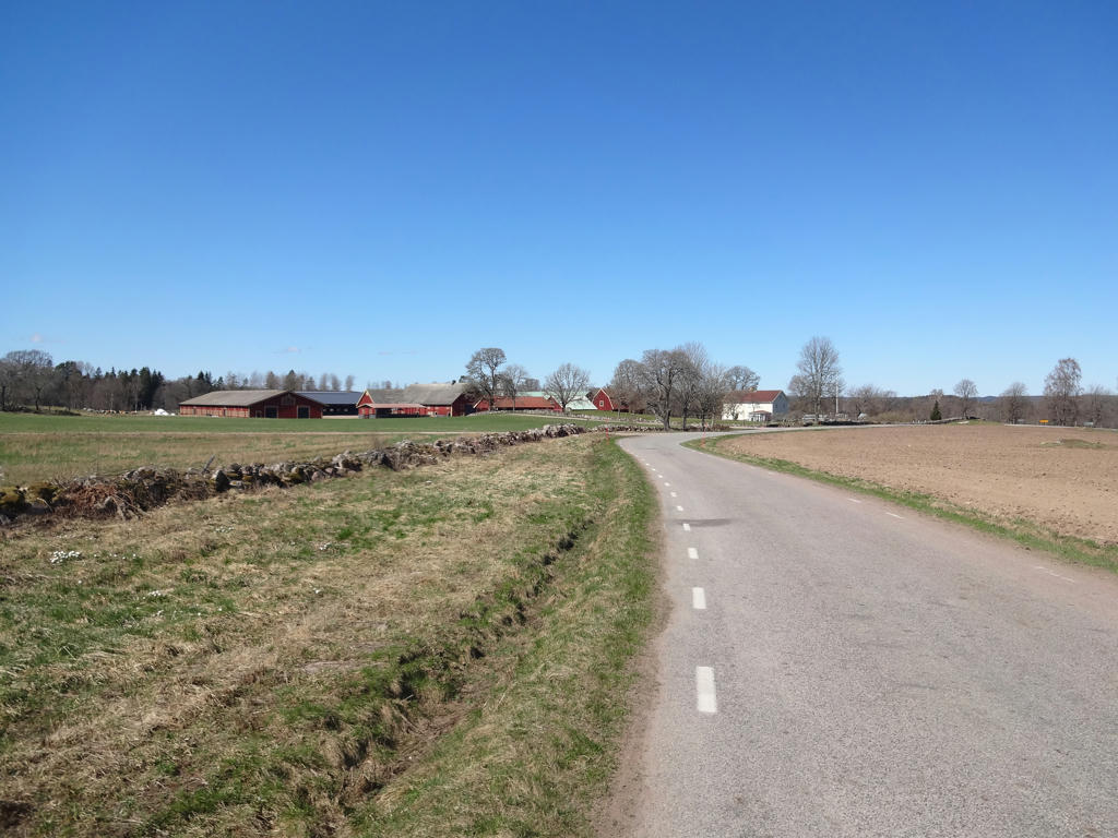
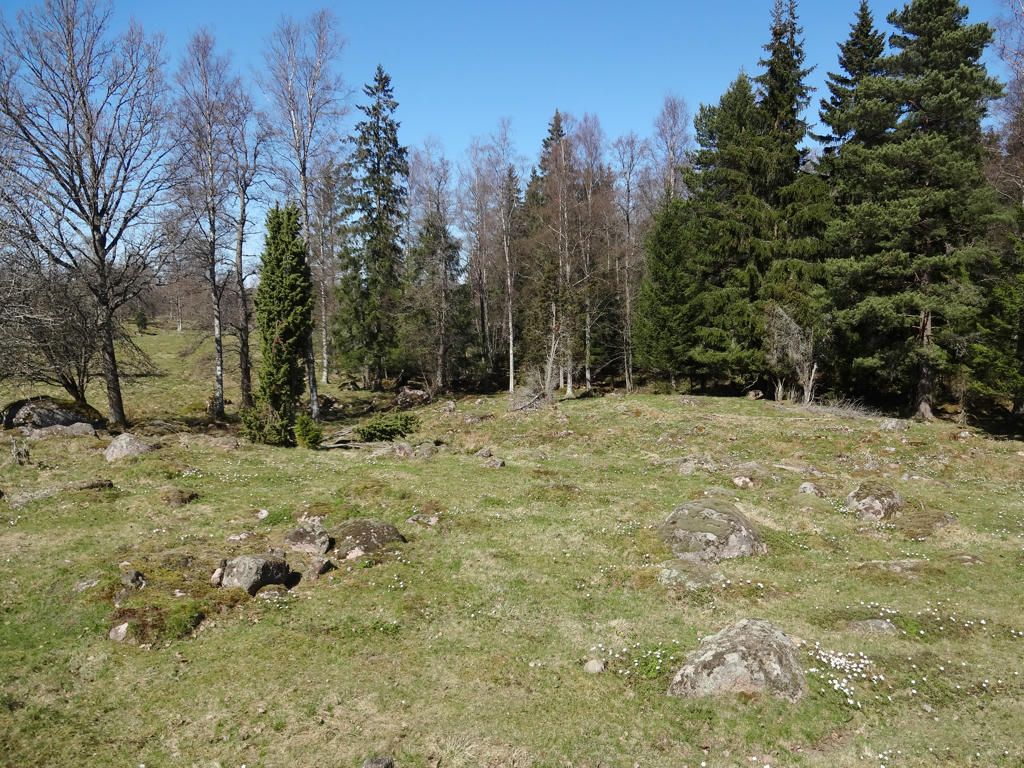
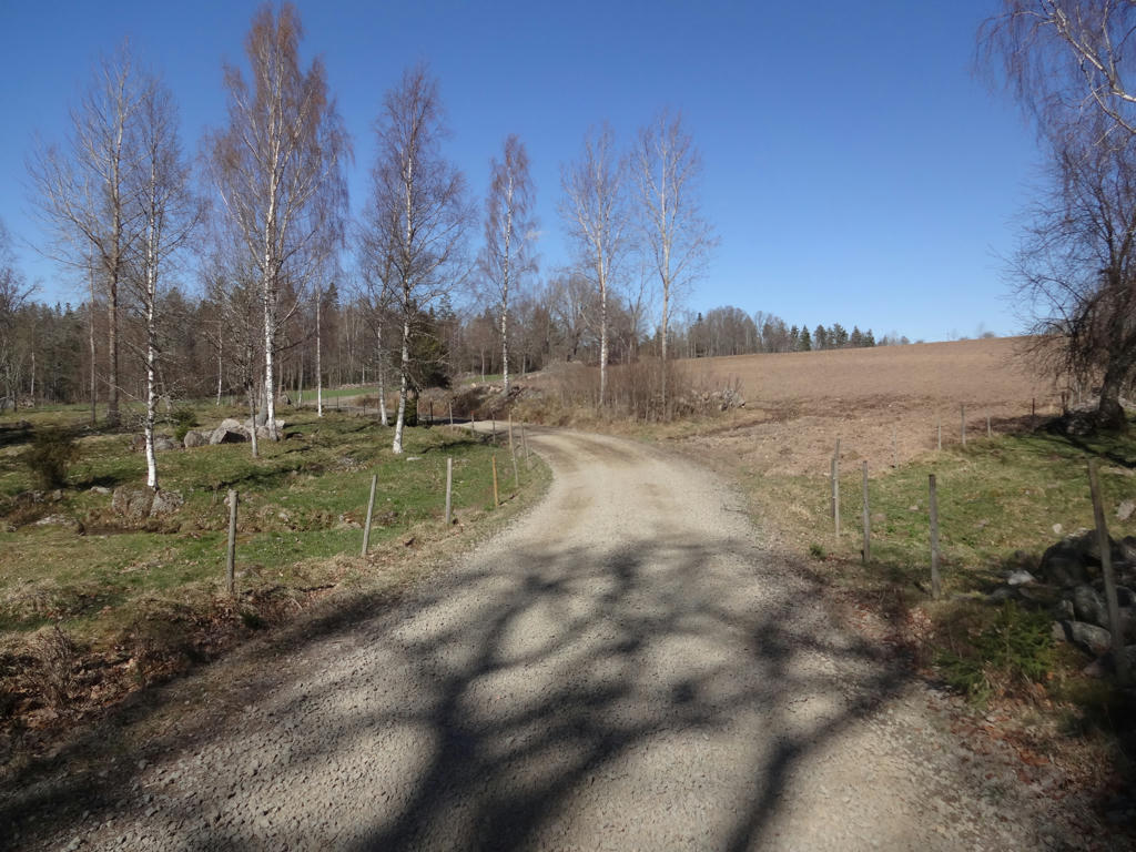
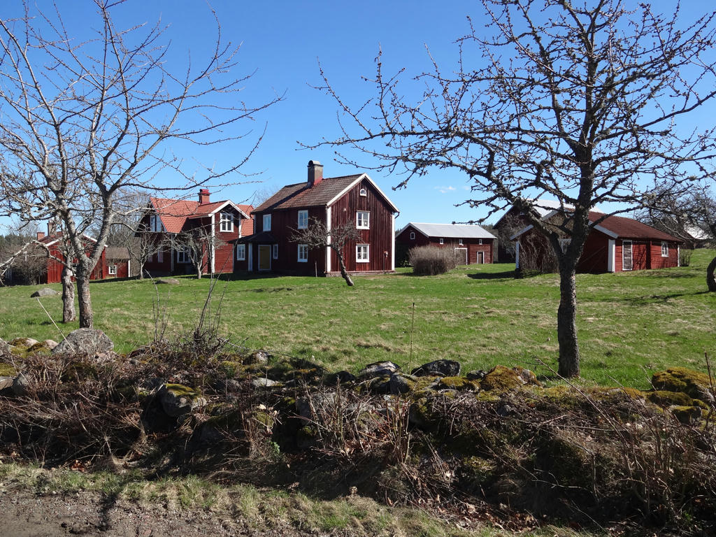
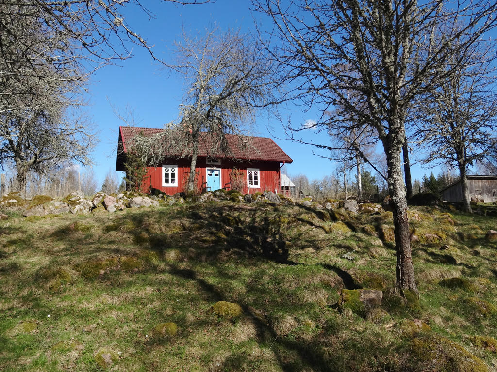
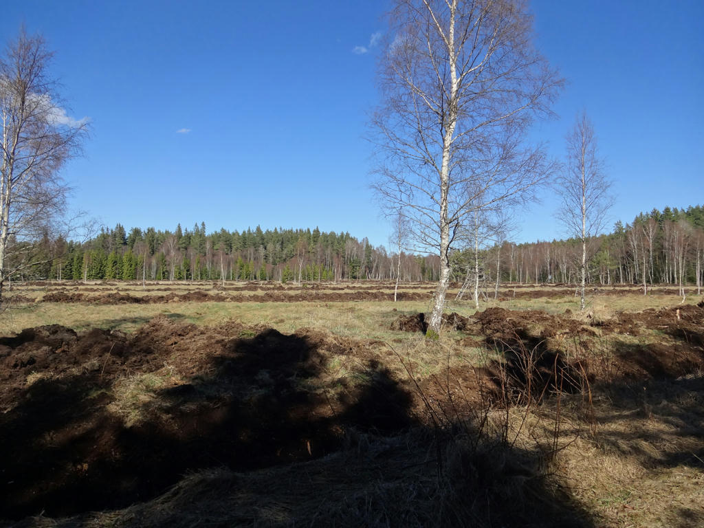
The trail goes mostly through beautiful rural terrains and the walk was very enjoyable. In some ways it reminded me of Gislavedsleden Walk #2 between Gislaved and Hestra. The weather was sunny and the temperature was just right (around 10-16 degrees). I didn't see any animals except for a squirrel. It's a pretty short description but the photos will give you a much better idea of the character of the walk. Enjoy!
1.
2.
Katebo. I brightened the sky slightly using the curves tool. Then I brightened the non-sky parts slightly using the levels tool.
3.
4.
Storäng. I used the curves tool to brighten the sky and non-sky parts separately.
5.
6.
Arnarp. I brightened the sky slightly using the curves tool and I then brightened the non-sky parts slightly using the levels tool.
7.
Malma
8.
Used the curves tool to brighten the sky and the non-sky parts separately.
9.
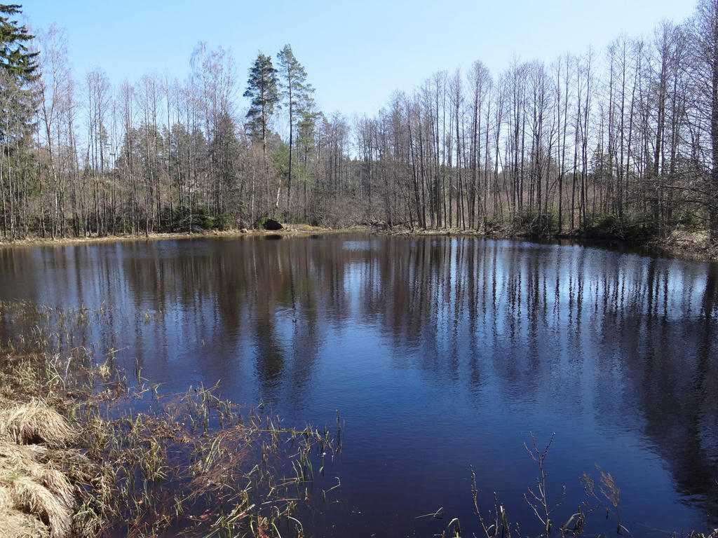
Lake near Brantafall. Used the hue restorer plug-in to get rid of the cyan-ish sky color.
10.
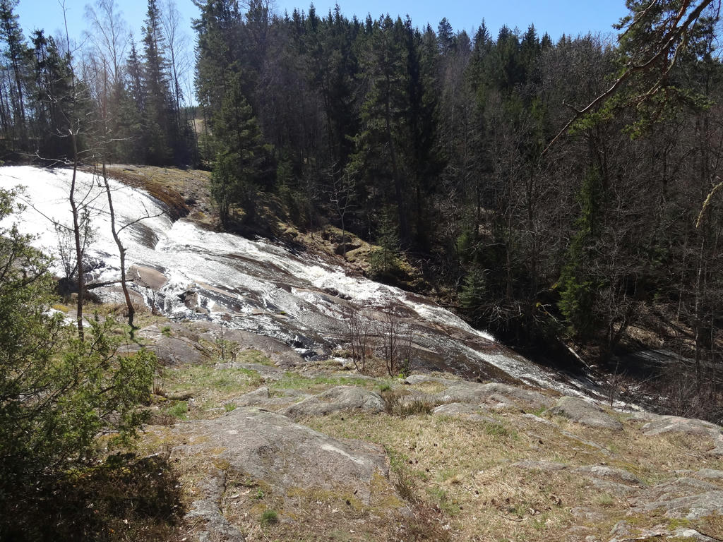
Brantafall. Used the hue restorer plug-in to get rid of the cyan-ish sky color. Also brightened the non-sky parts slightly using the levels tool.
11.
12.
Helgesfall
13.
14.
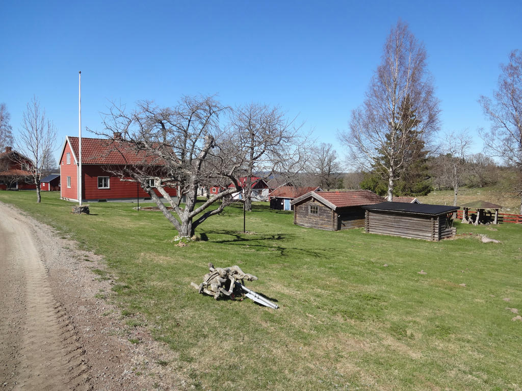
Stubbarp's unshifted (oskiftad) village.
15.
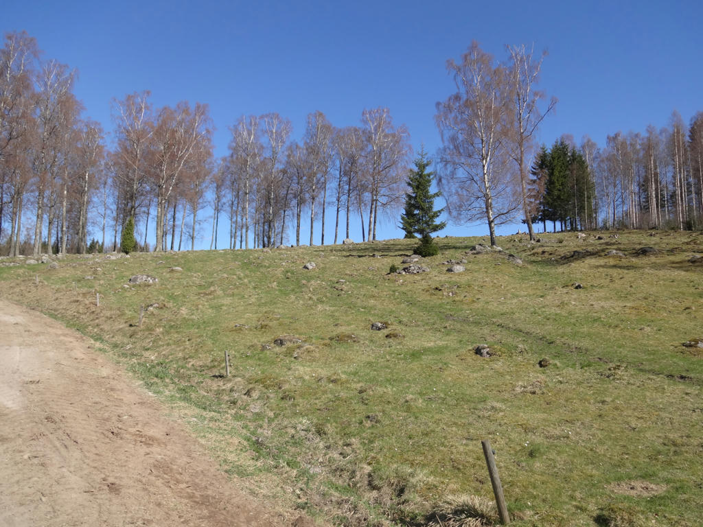
Klämstorp. Brightened the photo slightly using the curves tool.
16.
17.
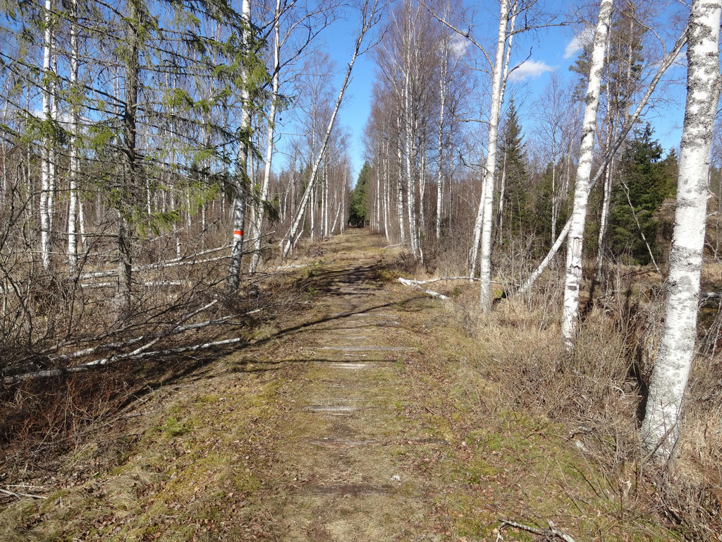
The railway between Eksjö and Österbymo used to go here. The remains of the railway can still be seen (and felt).
18.
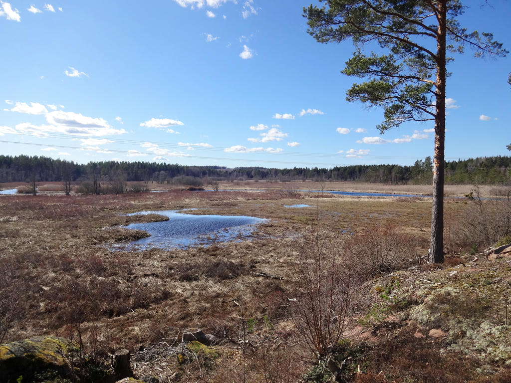
View of Bulsjöån and the surrounding bog/swamp. Used the levels tool to slightly increase the brightness and contrast for the non-sky parts.
19.
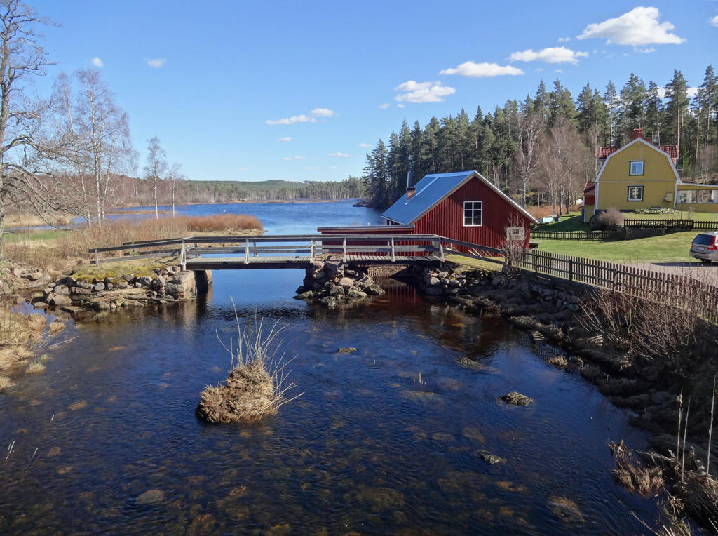
Österbysjön. I think this photo looks really interesting (strangely artistic). Rotated the photo slightly and cropped it.
20.
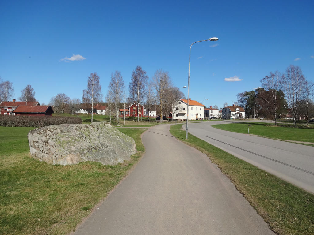
Österbymo. Brightened the photo slightly using the curves tool.
Inga kommentarer:
Skicka en kommentar