So the main walking goal in the beginning of 2018 was to finish Bohusleden and there were just four walks remaining. In either case I started working on this goal by going to Krokstrand and walking to Strömstad, a total of 33.1km (out of which 33km was on the Bohusleden trail). In the morning I went by car to Strömstad. Then I took the 06:55 bus to Krokstrand. I arrived in Krokstrand (and thus started the walk) at 07:29. The walk included the last 1km of stage 25 between Håvedalen and Krokstrand, stage 26 between Krokstrand and Högstad (17km), stage 27 between Krokstrand and Strömstad (15km) and finally 0.1km to reach the place where I parked the car. In total the walk took 11h8mins, which means that my average speed was 2.97km/h.
As I've previously mentioned there was still snow and ice on the ground. The snow and ice certainly made it difficult to go through some places. It was around 0 degrees Celcius at the start of the walk but it got warmer as the day progressed and I think (if I remember correctly) it got colder towards the evening. Regardless it was sunny all day. I didn't see any animals except for a hare but I managed to take pretty poor photos. I did get lost twice during the walk, once because the path had been changed and there weren't new signs showing the new way and the second time I got lost near the end in Strömstad. Regardless it was a very good but very long walk and like is the case with very long walks it felt like quite an adventure.
1.

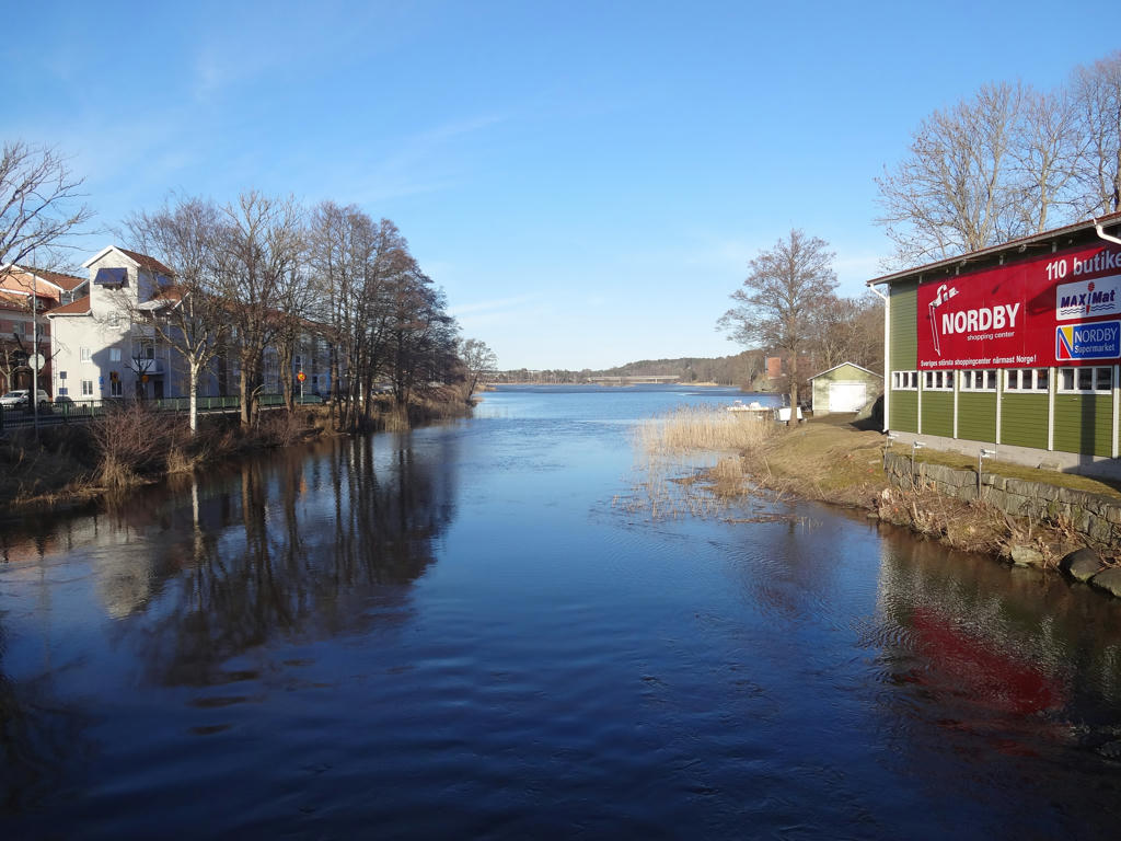
Iddefjorden. Used the hue restorer plug-in to remove the cyan-ish sky color.
2.

One of the quarries in Krokstrand. The stone here was used in creating paving stone. When the demand for paving stone fell the quarrying stopped and the town became less populous as the people moved elsewhere.
3.

View near Krokstrand. The lake in the view is Krokstjärnet. Used the hue restorer plug-in to remove the cyan-ish sky color. Also brightened the non-sky parts slightly using the levels tool.
4.

5.
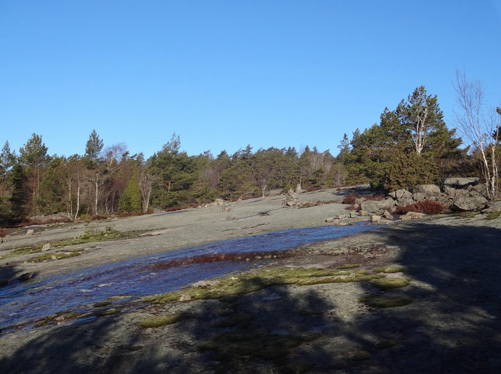
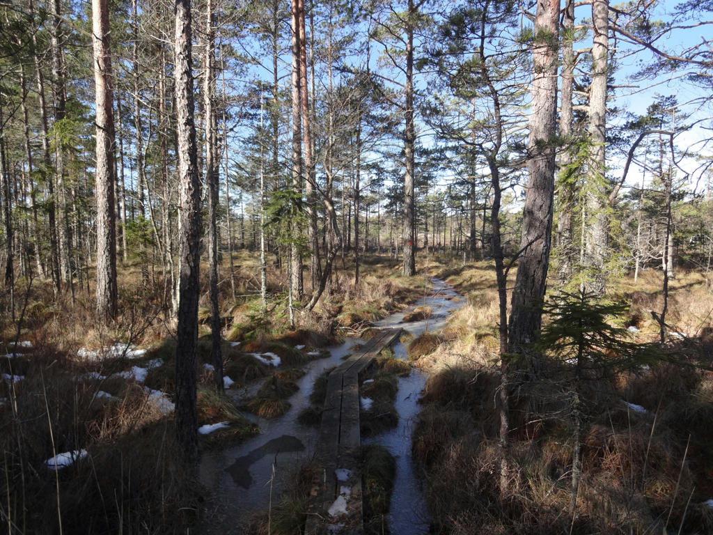
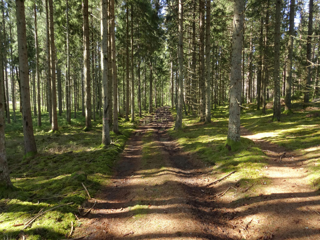
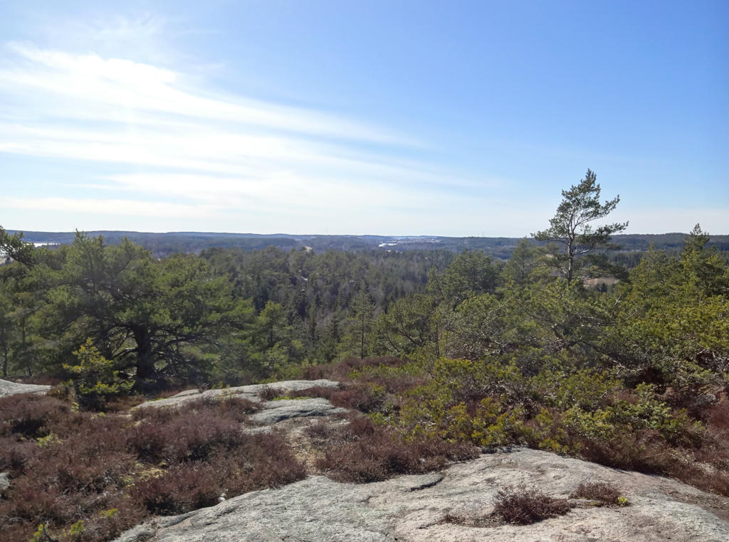
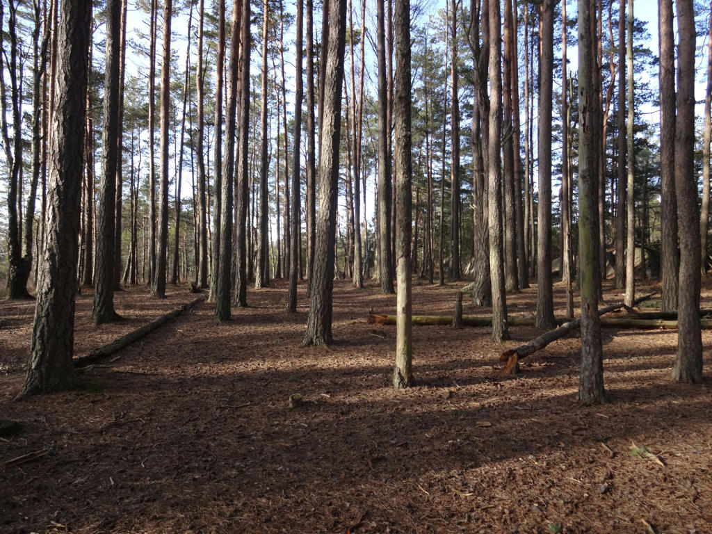
One of the defining characteristics of this walk are rocky terrains such as this. Rotated the photo slightly and cropped it.
6.
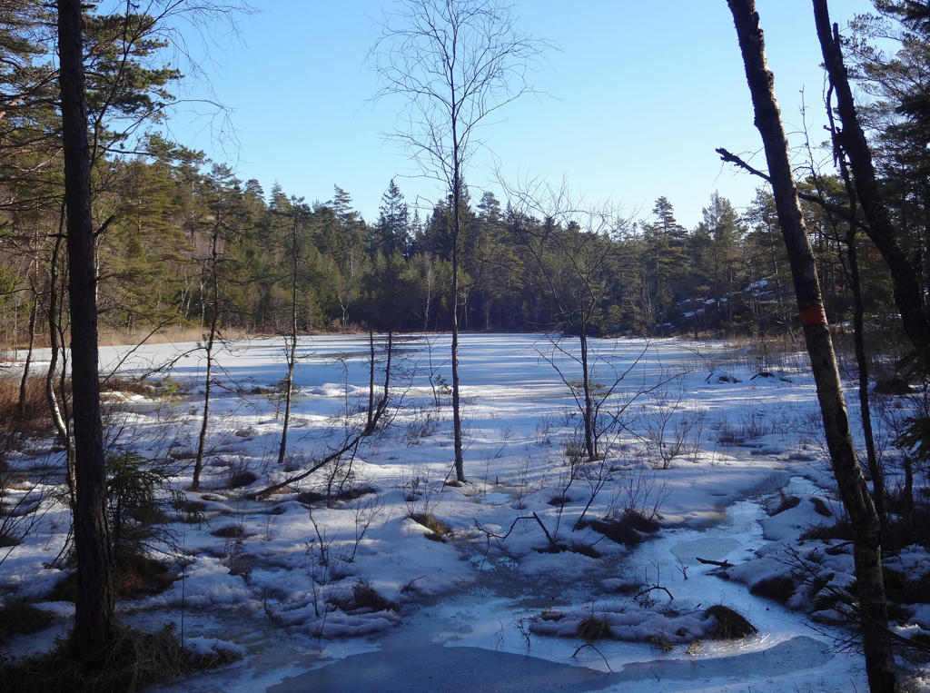
Södra Småtjärnen. Rotated the photo slightly and cropped it.
7.
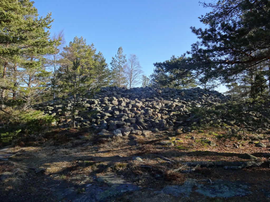
Bronze age carin on top of Björnerödspiggen (Bohuslän's highest mountain, 222 meters above the sea).
8.
9.
Used the hue restorer plug-in to remove the cyan-ish sky color. Also darkened the sky slightly using the levels tool.
10.
I brightened the photo slightly using the levels tool. Then I brightened the sky using the curves tool and the non-sky parts using the levels tool. Finally I sharpened the photo slightly using unsharp mask.
11.

Used the levels tool to brighten the sky and the non-sky parts separately. Also sharpened the photo slightly using unsharp mask.
12.
Used the levels tool to brighten the sky and the non-sky parts separately.
13.
14.
Sharpened the photo slightly using unsharp mask.
15.
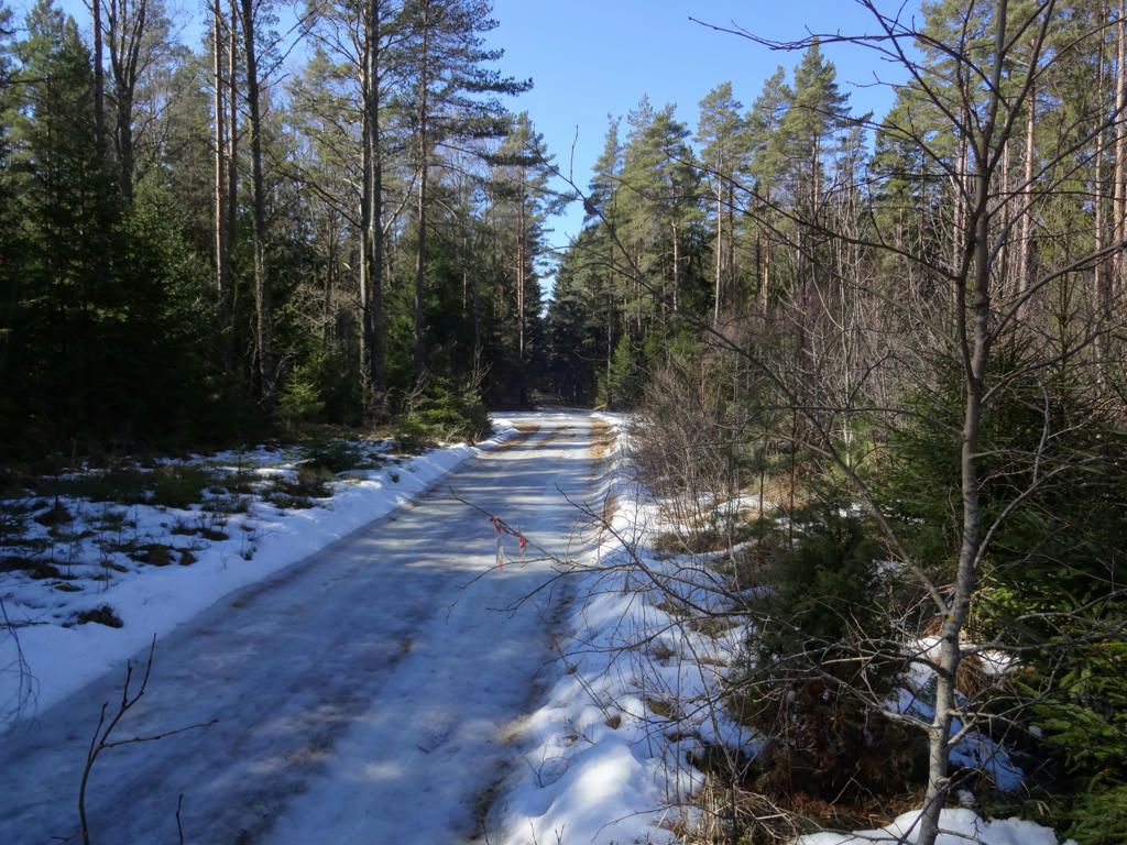
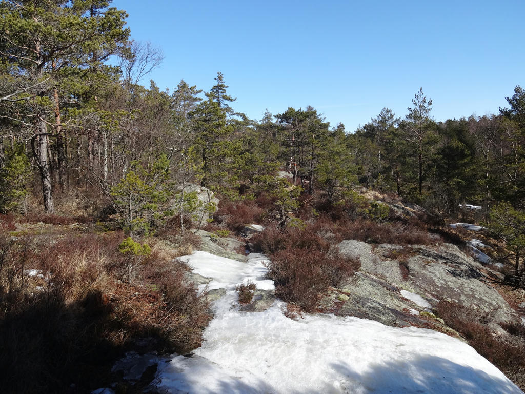
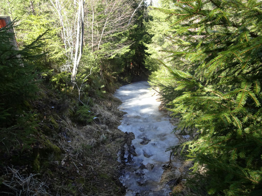
One of the tricky parts during this walk. The gravel road was entirely covered by ice so I went around on the right side.
16.

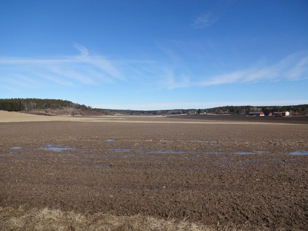
Terrains around Grönbacken. Brightened the sky slightly using the levels tool. Also used the levels tool to increase the brightness and contrast for the non-sky parts. Finally I increased the contrast further for the non-sky parts using the brightness-contrast tool.
17.
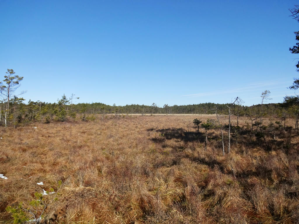
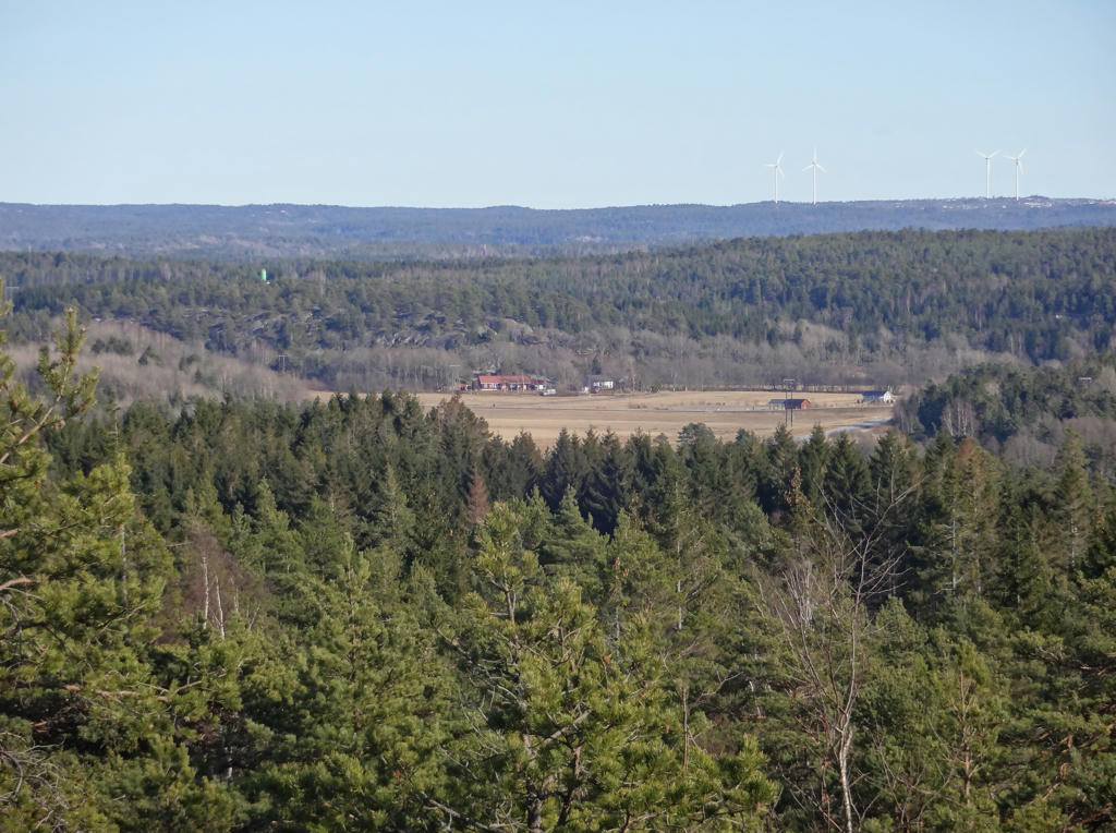
Terrains around Massleberg.
18.
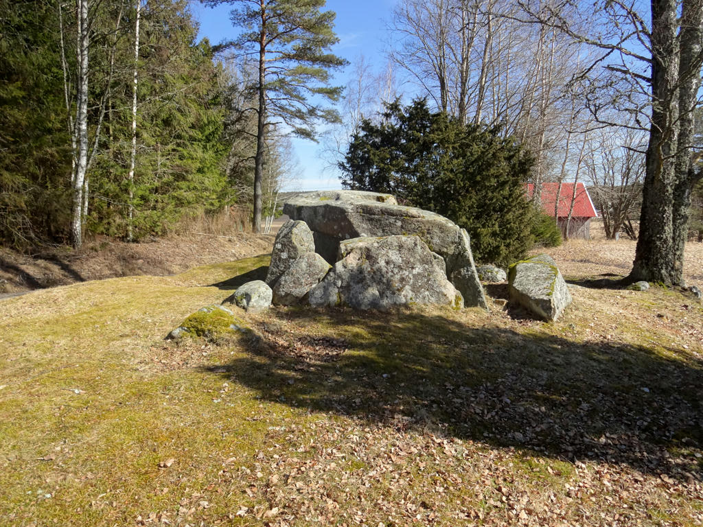
"The Stone House
During the early Neolithic period, approximately 5000 years ago, a group of people lived here. At that time the valley was a protected inlet and the grave in front of us was turned out towards this inlet. The passage grave is not excavated but probably contains the remains of many people."
Increased the contrast for the non-sky parts slightly using the levels tool. Also sharpened the photo slightly using unsharp mask.
19.
This was one of the trickiest segments of this walk. The trail was covered by ice and I had to go around on the left side. There was a barbed wire fence there and I actually got a small cut on my leg.
20.

Used the hue restorer plug-in to remove the cyan-ish sky color. Also increased the contrast slightly for the non-sky parts using the brightness-contrast tool. Finally I darkened the sky slightly using the levels tool.
21.

22.
View from the Hillern gazebo. Rotated the photo slightly and cropped it.I also brightened the non-sky parts slightly using the levels tool.
23.

Interesting "cave".
24.

25.
26.

One of the six tumulus from the iron age at Grönehög.
27.

28.
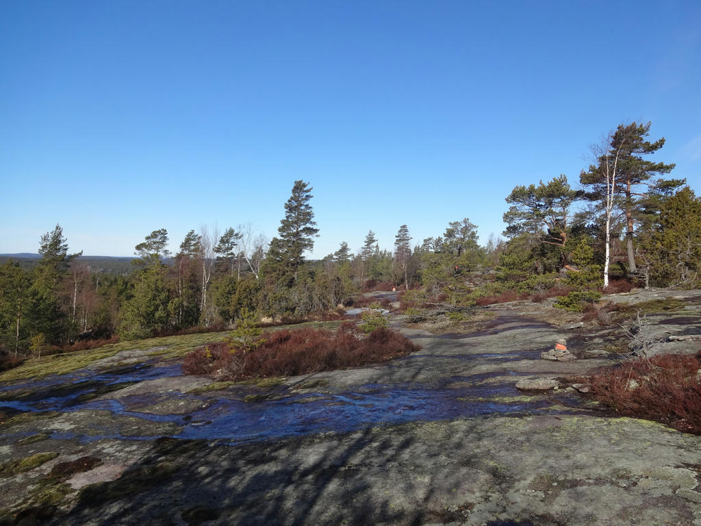
View from the rocky terrain near Strömstad. Rotated the photo slightly and cropped it.
29.

Sharpened the photo slightly using unsharp mask. I also brightened the photo slightly using the levels tool.
30.
31.
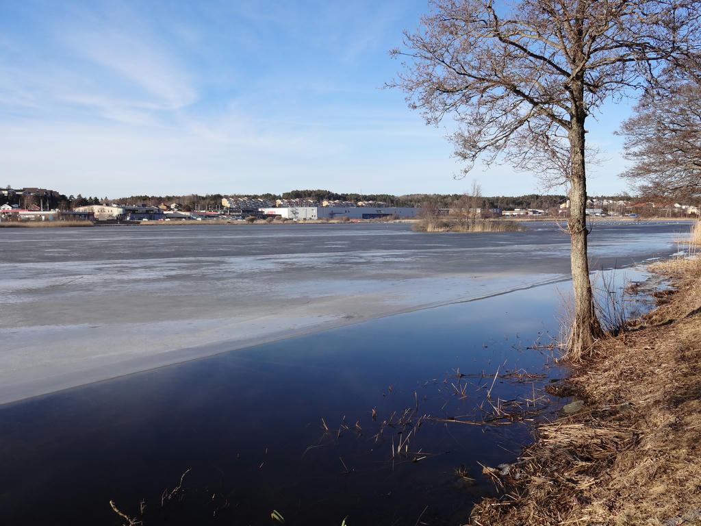
Strömsvattnet
32.
Strömsvattnet. Used the hue restorer plug-in to remove the cyan-ish sky color.
33.
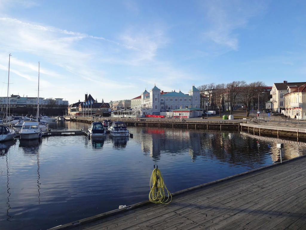
Strömstad
Inga kommentarer:
Skicka en kommentar