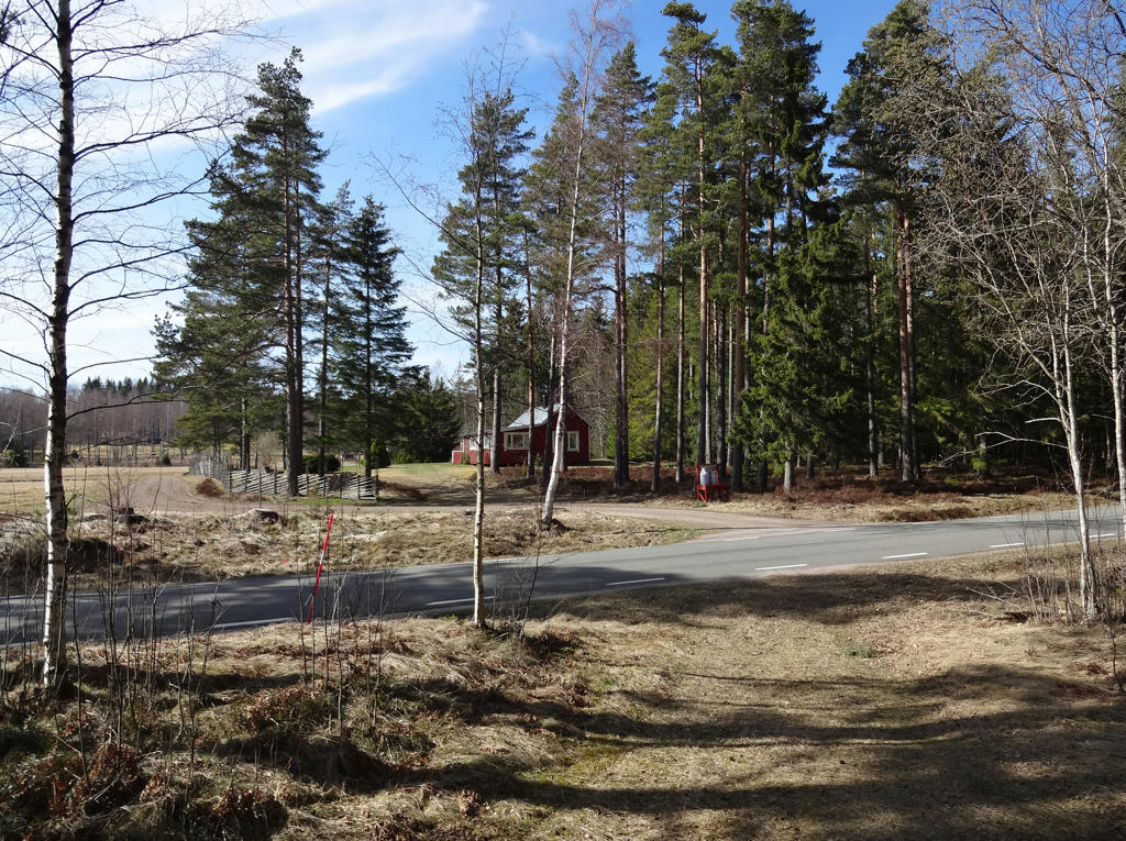
The walk itself was 17.2km (out of which the first 0.4km were required to get from the bus station in Fagerhult to the trail) and took me 4h3mins. Thus my average speed was approximately 4.25km/h. This is a bit faster than average and the reason for this is because I sped up my walking maybe 1h-1h30min before finishing the walk to make sure I make it on time to Hökensås Semesterby for the local traffic trip I booked (I also didn't know that I didn't need to walk anywhere extra at the end, I wasn't entirely sure where the taxi would pick me up). However, I didn't let the faster walking deter from my enjoyment of the walk.
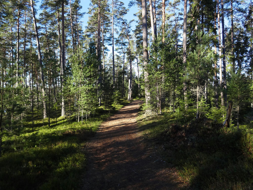
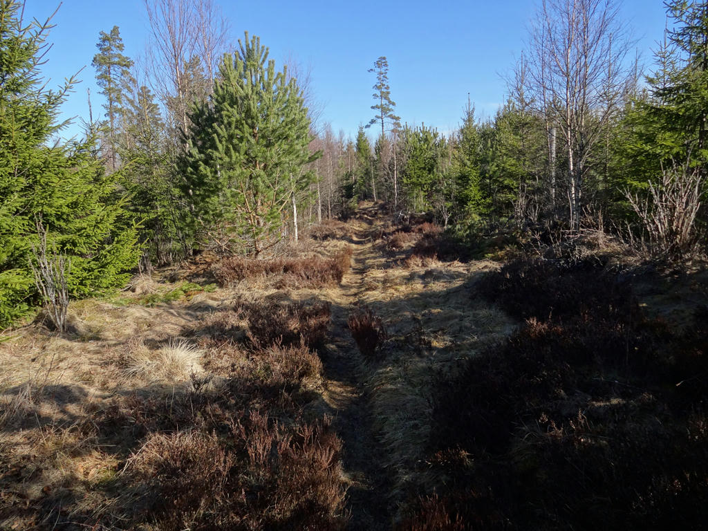
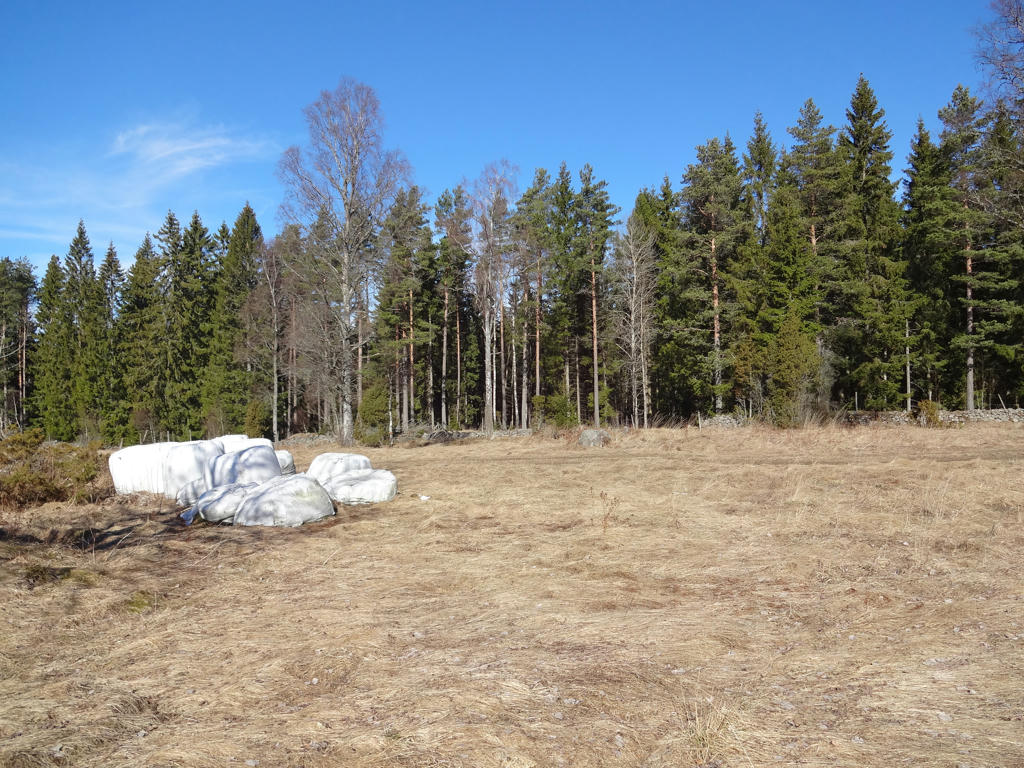
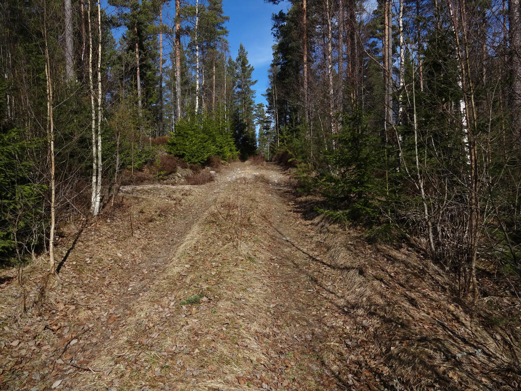
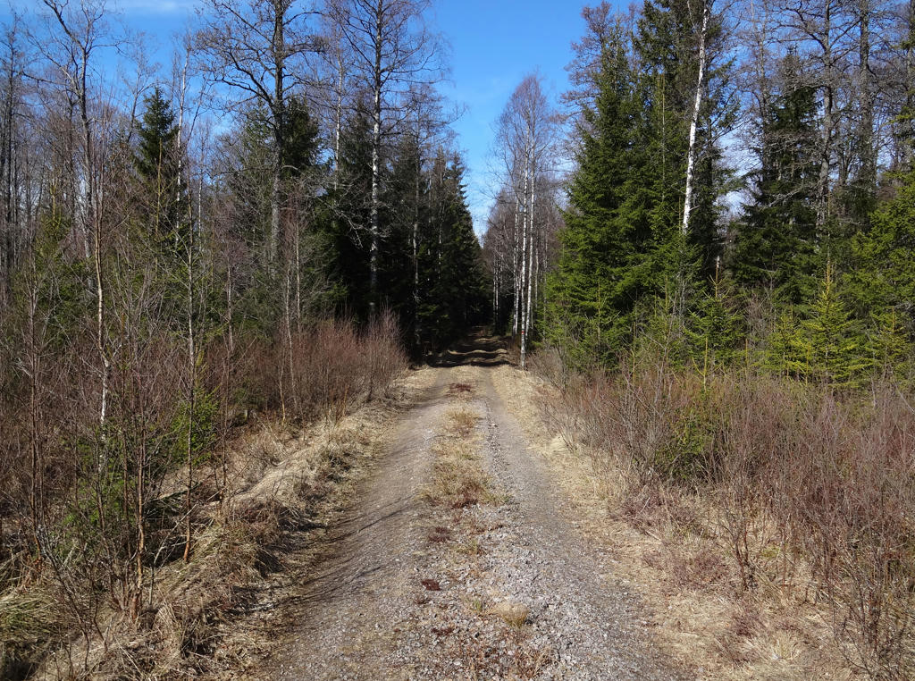
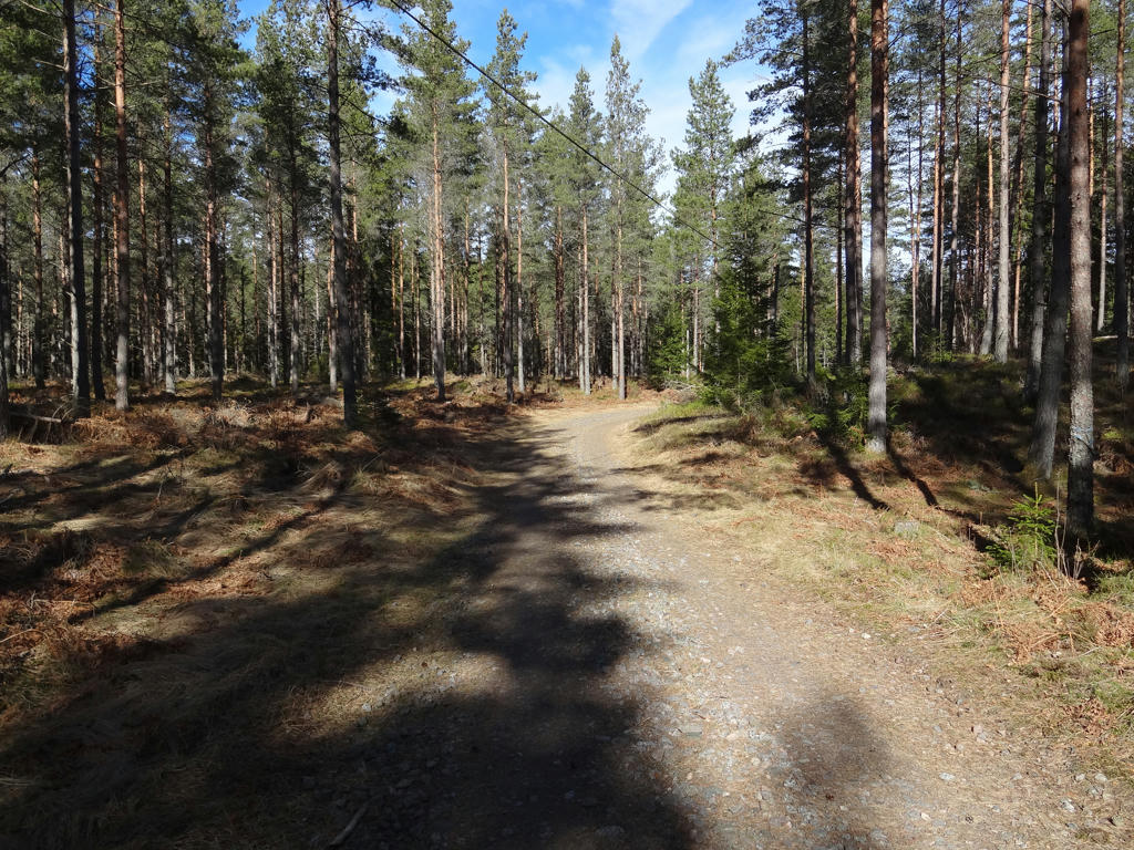
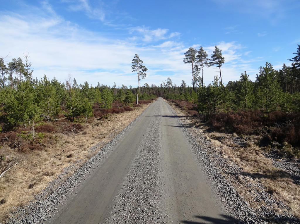
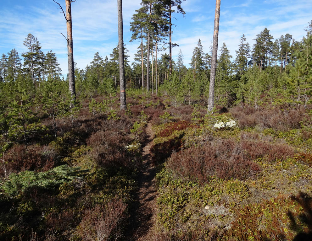
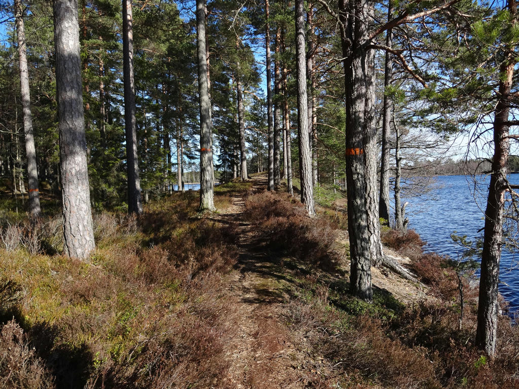
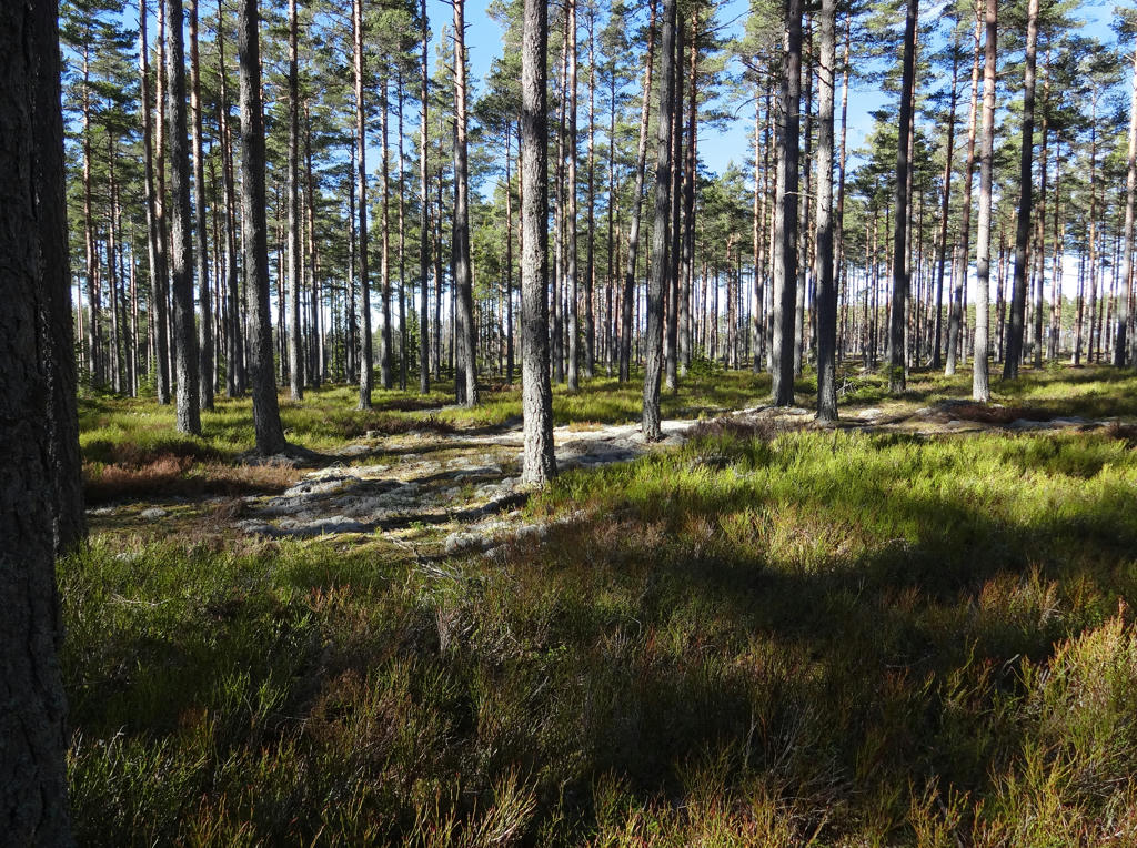
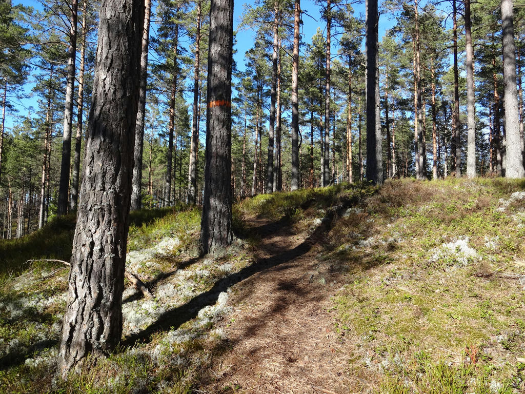
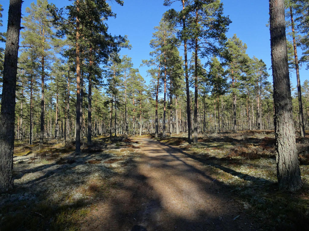
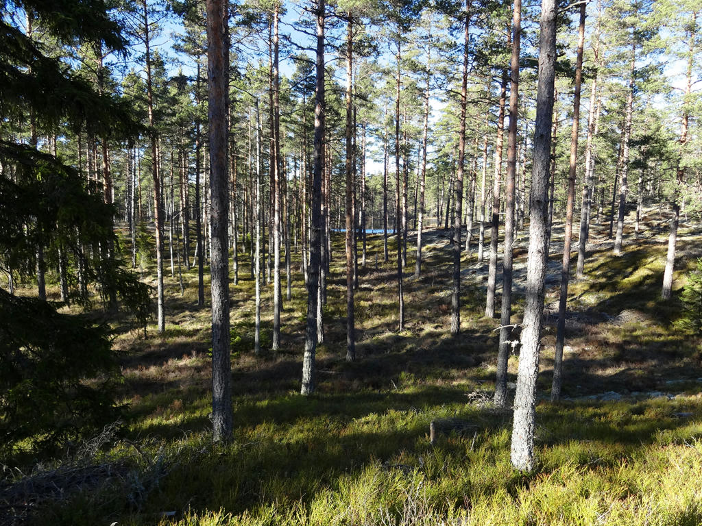
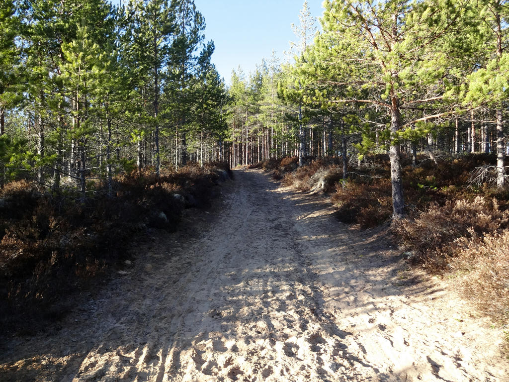
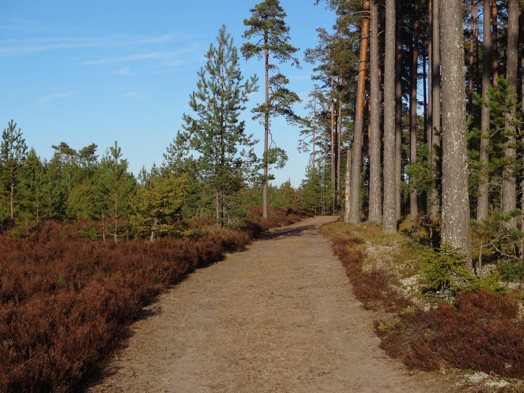
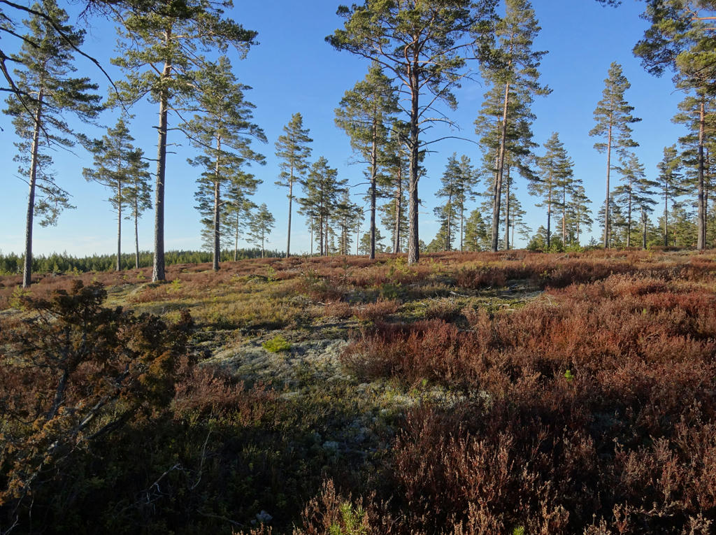
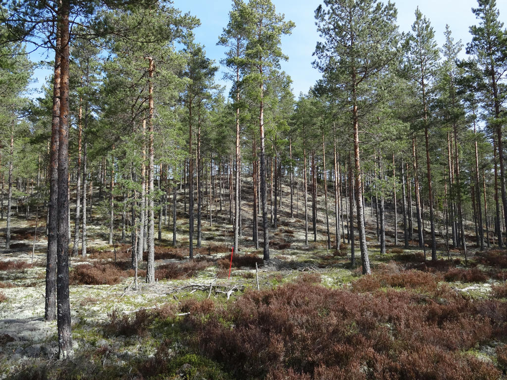
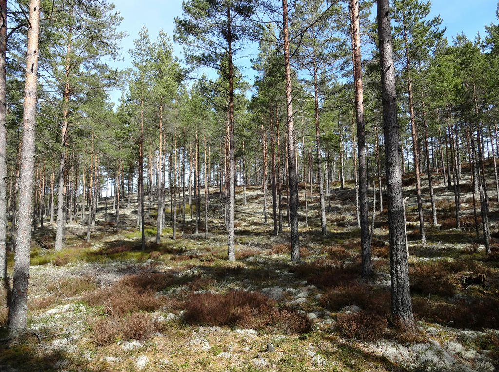
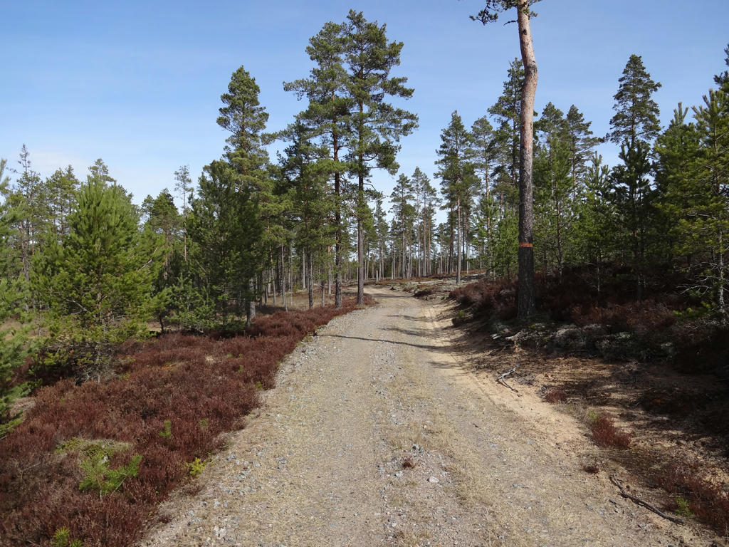
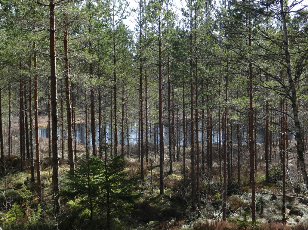
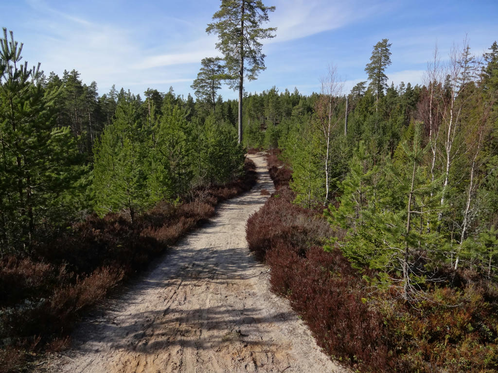
Either way, the walk went through the Hökensås forest region (including Hökensås nature reserve). The forest type here is fine sand forests (moskog/tallmo) and as mentioned previously I find this type of forests to be very beautiful. In fact I found this to be one of the walks with the most beautiful terrain and it is probably my 2nd favorite Västra Vätterleden walk. Another thing which contributed to this walk being so beautiful and interesting was that it went by many lakes. In general it was a relatively easy walk since most of it went on tractor roads or gravel roads and some of it went on trails which were in good condition. The terrain was quite flat for the most part. Finally it can be noted that the weather was good; it was cold but the sky was clear and the sun was shining. Anyways, enjoy the photos!
1.
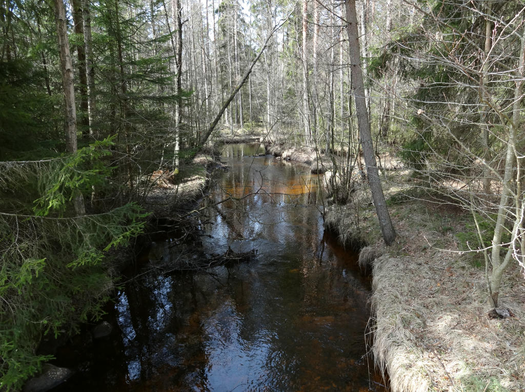
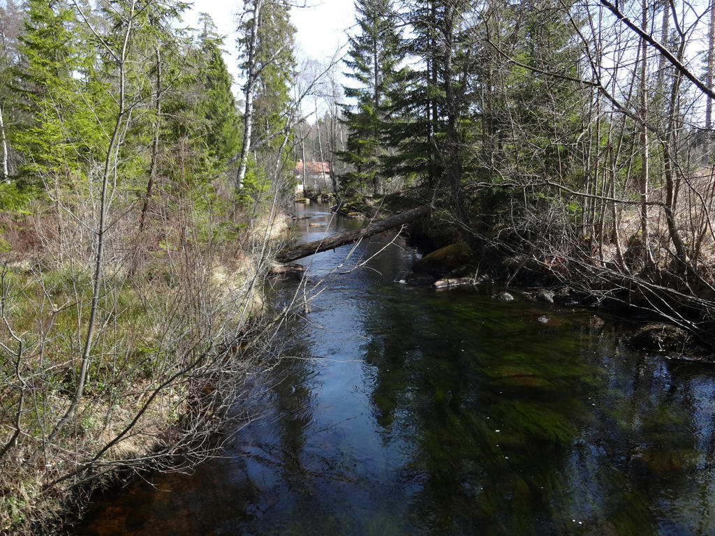
Gagnån (part of Gangnån nature reserve)
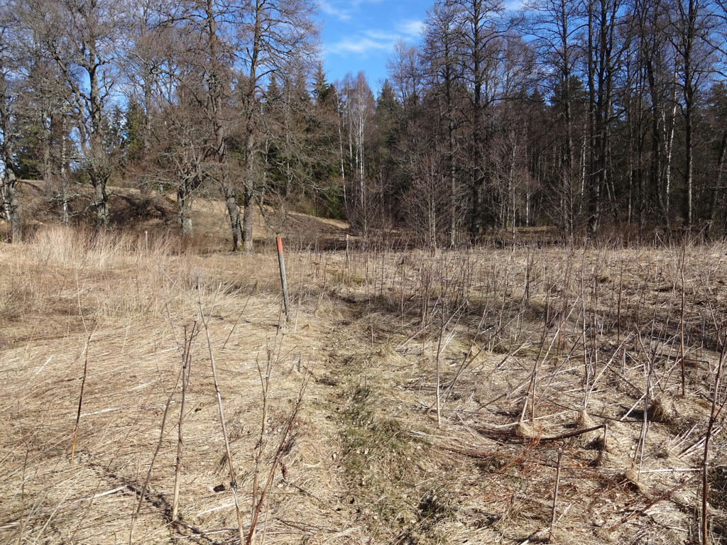
Gangån's nature reserve follows the river from Tidaholmsvägen in the west to Fagerhult's community in the east. Large parts of Stenamossen are also included in the 320 hectare area. The upper parts of the river are divided into several segments with different names: Barnebäcken, Gjutabrobäcken and Stenabäcken. In the river there are interesting northern species of dragon-flies and crustaceans and also two types of brown trouts: bäcköring and insjööring. Next to the river there are several very wet wetlands with small marshes and headwaters. At Stenamossen there are dwarf birches and in the marshes next to the river there is cotton deergrass, marsh arrowgrass and dioecious sedge. Large parts of the nature reserve are difficult to access and relatively undisturbed.
Rotated the photo slightly and cropped it. Also slightly reduced the effect of the blue channel (reduced blue cast) using the levels tool.
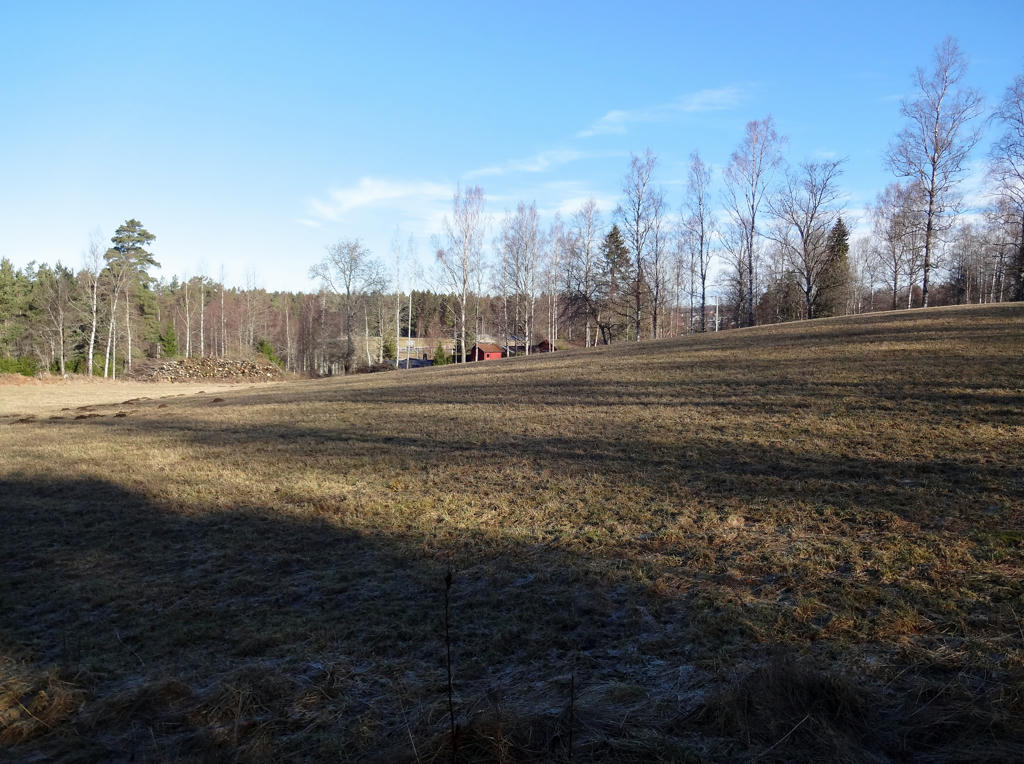
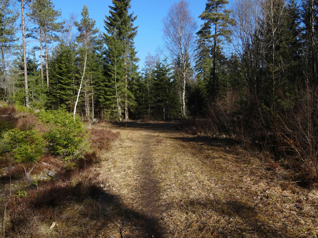
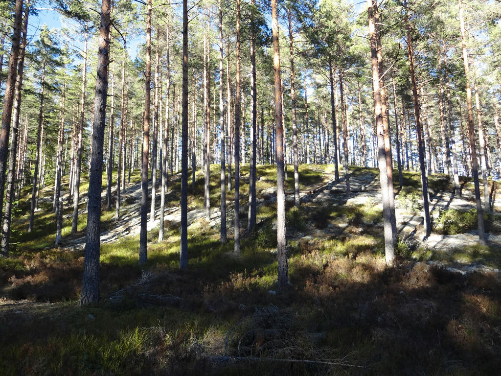
2.
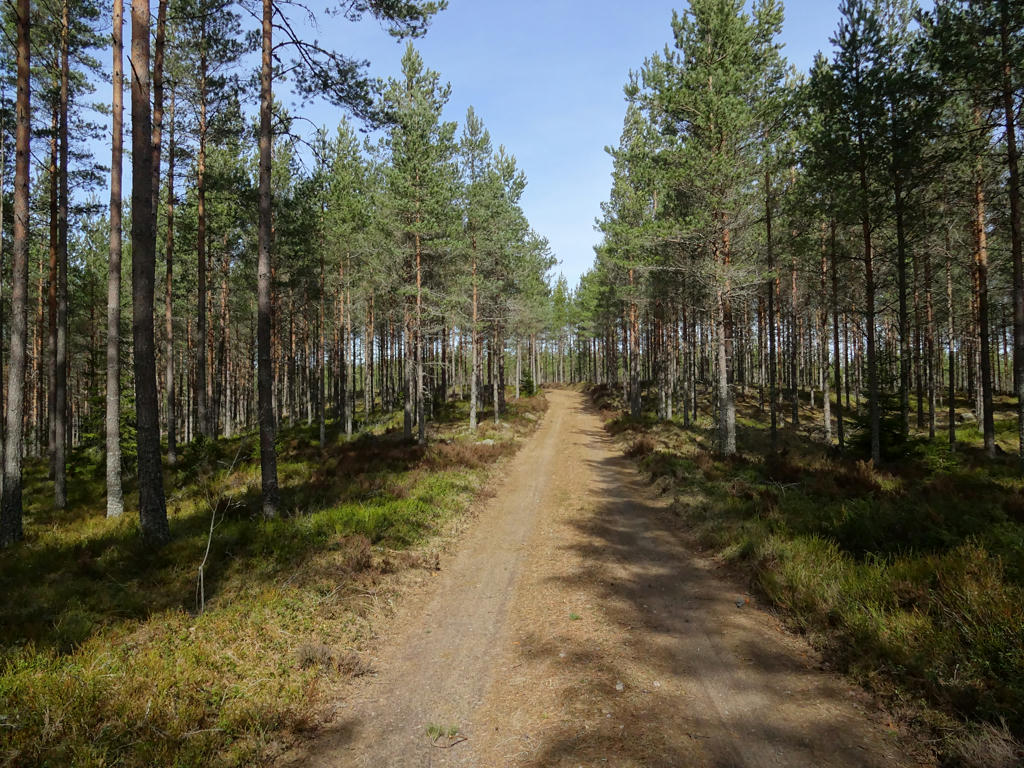
Used the hue restorer plug-in to get rid of the cyan-ish sky color. Also rotated the photo slightly and cropped it. Finally I darkened the sky and the non-sky parts separately using the levels tool.
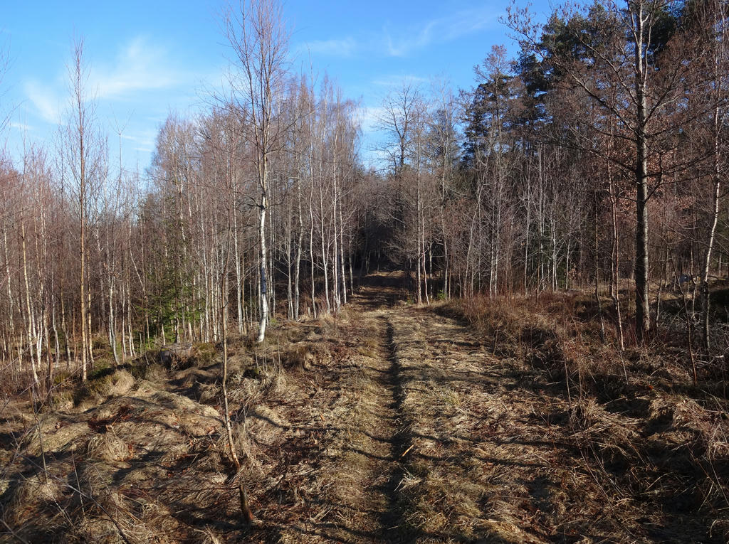
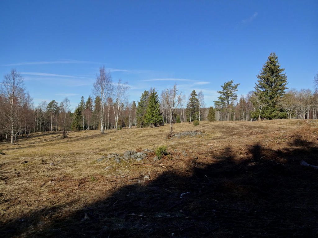
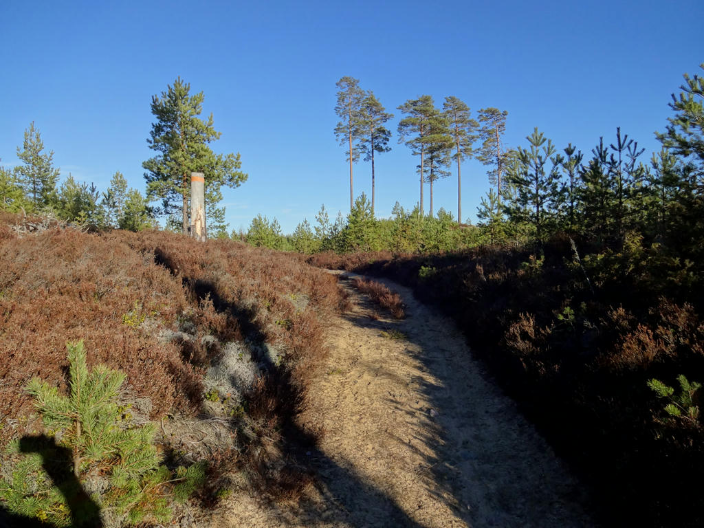
3.
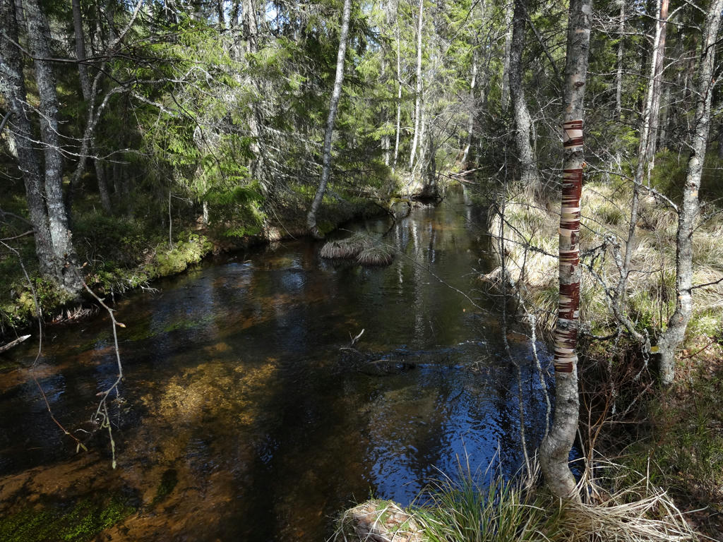
Used the hue restorer plug-in to get rid of the cyan-ish sky color.
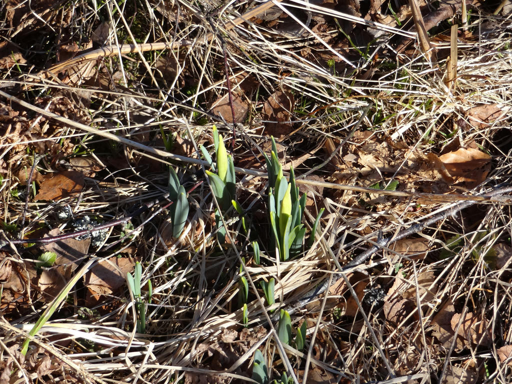
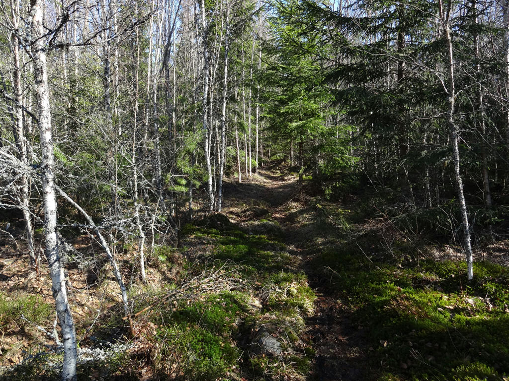
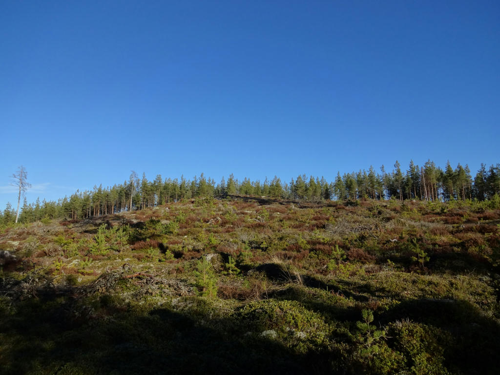
4.
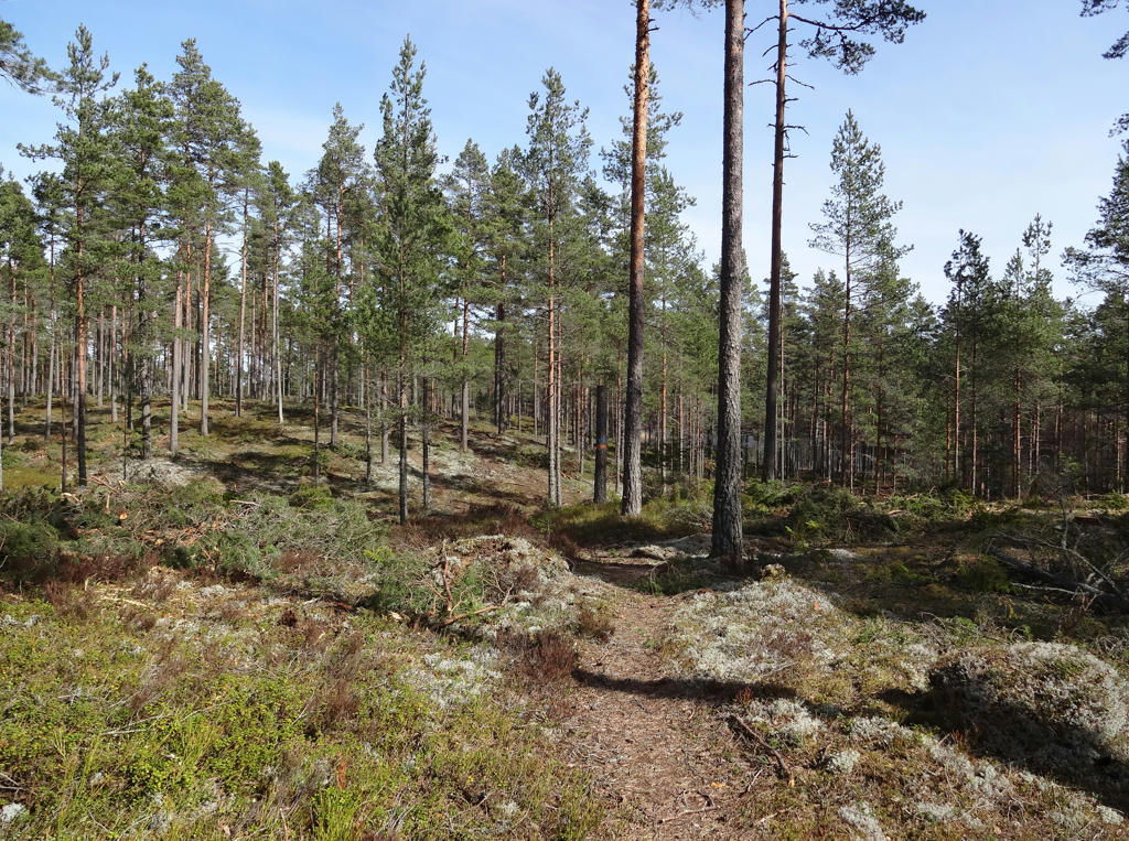
Rotated the photo slightly and then cropped it. Also increased the contrast slightly.
5.
6.
Svedån
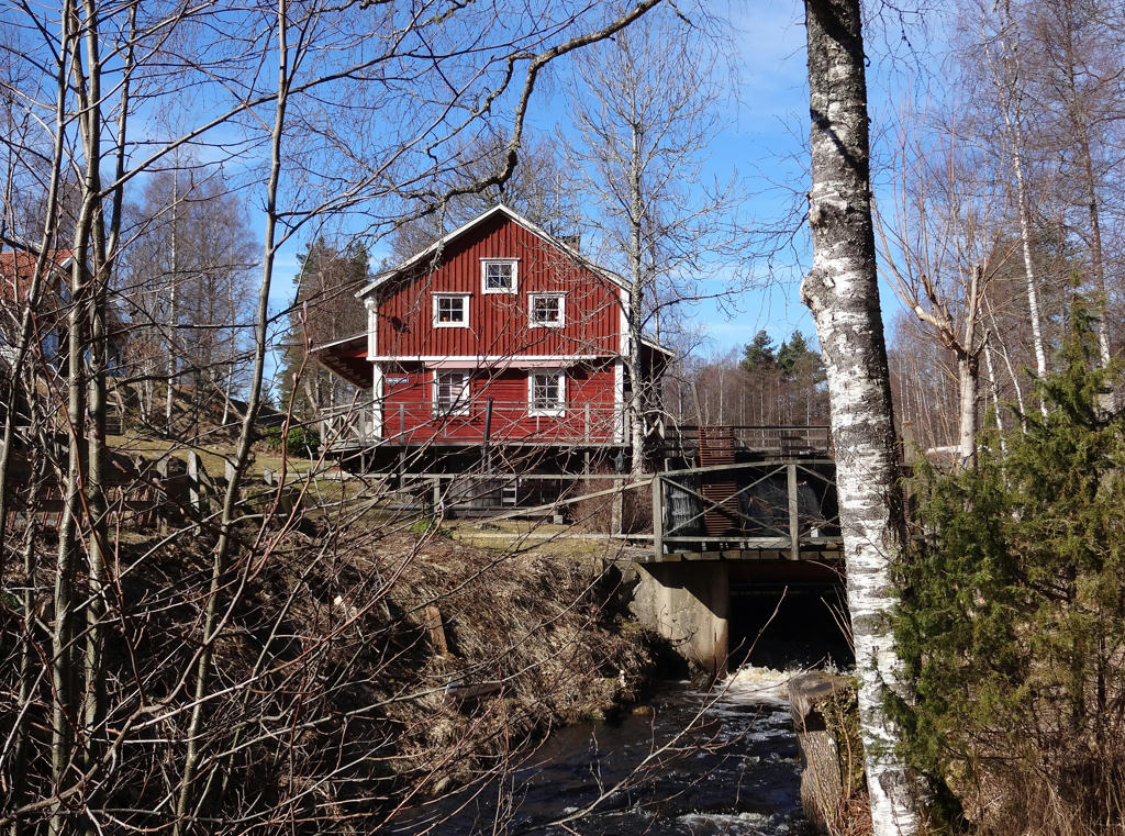
The trail goes across Svedån. The river is a spawning-ground for Vättern trouts and down the stream there are beavers. A stone's throw east of the trail lies Svedbrotorp. "Tjyv-Olle" (Olle the thief) used to live here together with his son Ola Jon who both featured in odd trials. A further short distance away downstream, near Svedbrokvarn, the slope and flow was high enough to build two dams and a mill. There is also both a frame saw and a circular saw, a plane for shingle and a smaller power plant. The mill activity started in the 1800s, ended in 1939, and the remaining traces of it are dams and mill foundations.
The trail goes across Svedån. The river is a spawning-ground for Vättern trouts and down the stream there are beavers. A stone's throw east of the trail lies Svedbrotorp. "Tjyv-Olle" (Olle the thief) used to live here together with his son Ola Jon who both featured in odd trials. A further short distance away downstream, near Svedbrokvarn, the slope and flow was high enough to build two dams and a mill. There is also both a frame saw and a circular saw, a plane for shingle and a smaller power plant. The mill activity started in the 1800s, ended in 1939, and the remaining traces of it are dams and mill foundations.
7.
Sharpened the photo slightly using unsharp mask.
8.
Hållsdammsbäcken. Brightened the non-sky parts slightly using the levels tool.
9.
Rotated the photo slightly and cropped it.
10.
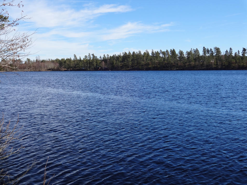
Sydvattnet can be seen in the background. Darkened the sky using the levels tool.
11.
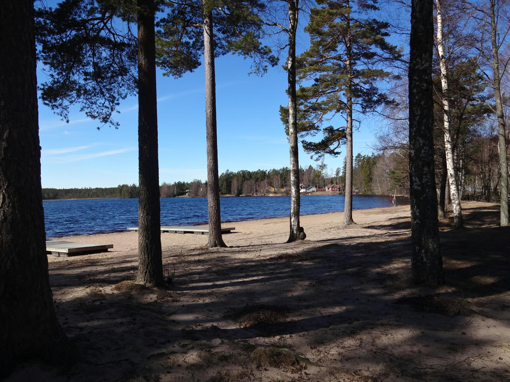
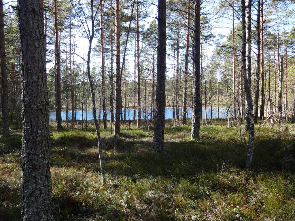
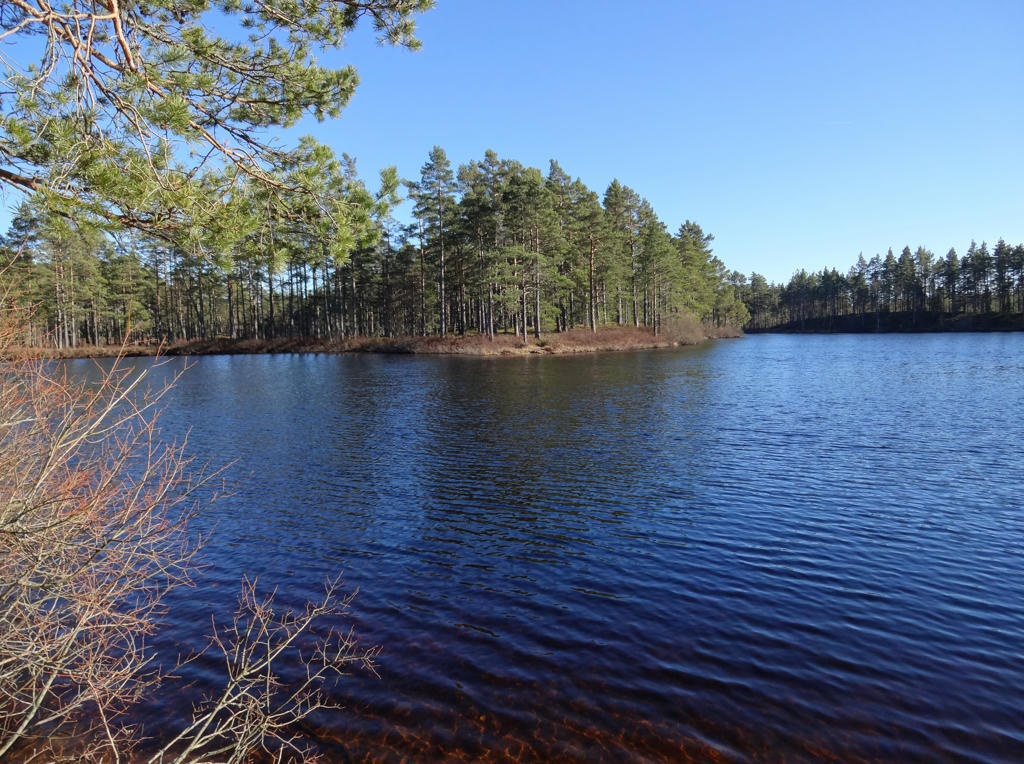
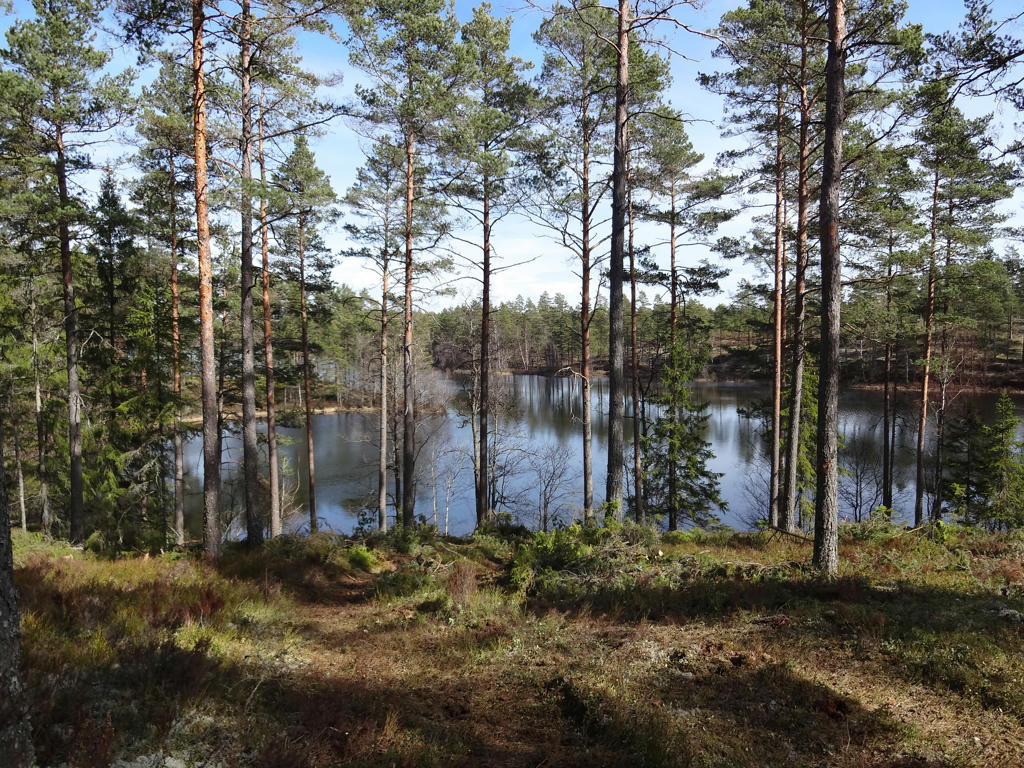
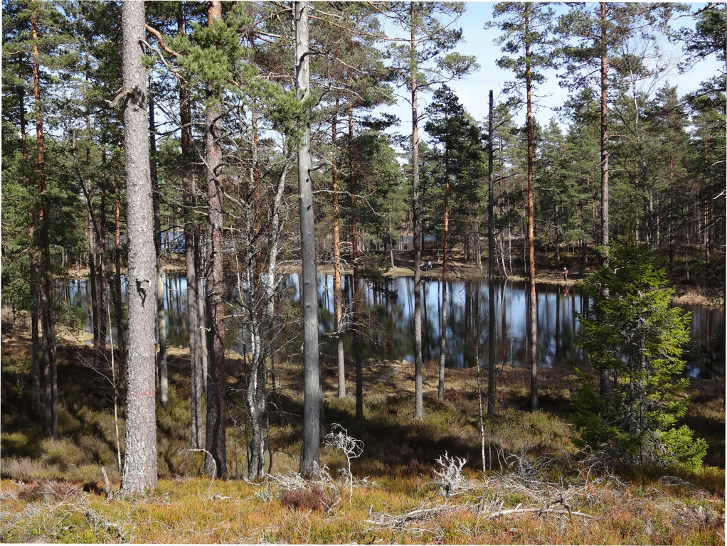
Sydvattnet
Sydvattnet is the first in the strand of beautiful forest lakes on this stage (between Fagerhult and Hökensås). It used to be called Sörvattnet and Sudhervättne respectively. In the 1900s it was planned to dam up Sydvattnet for hydro power, a project which maybe luckily didn't come about. The stream which drains Sydvattnet to the south is still called Hållsdammsbäcken (damm= dam, bäcken= the stream) as a reminder of the plans.
Rotated the photo slightly and cropped it.
12.
13.
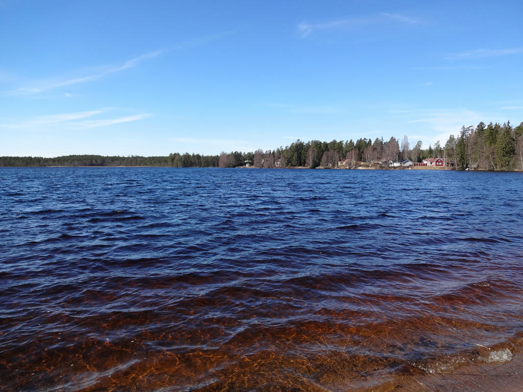
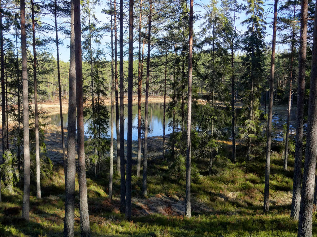
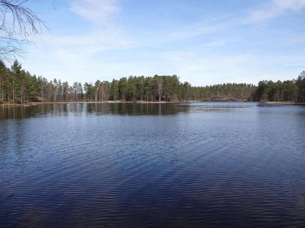
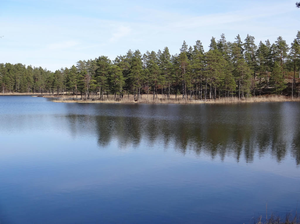
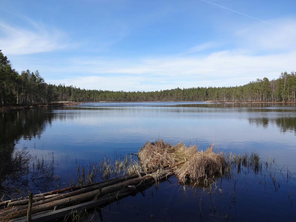
Nordvattnet
Nordvattnet is a beautiful forest lake which used to be called Nordvättnen. The oldest known spelling is Nordhvätne. The word "vatn" literally means "water" but in practice it means "lake".
Used the hue restorer plug-in to reduce the cyan-ish sky color. Also rotated and cropped the photo.
Nordvattnet is a beautiful forest lake which used to be called Nordvättnen. The oldest known spelling is Nordhvätne. The word "vatn" literally means "water" but in practice it means "lake".
Used the hue restorer plug-in to reduce the cyan-ish sky color. Also rotated and cropped the photo.
14.
Used the hue restorer plug-in to reduce the cyan-ish sky color. Also rotated the photo slightly and cropped it.
15.
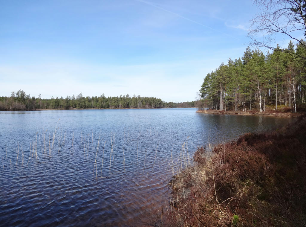
Store Öjasjön
The name of the lake refers to the island which is located on the beautiful lake. During calm summer nights one can hear real "wilderness music" (vildmarksmusik) consisting of the diver's lamentation and the nightjar's exciting sounds. The birds here are sensitive to outside influences. The black-throated divers for instance have difficulty in succeeding with the nesting. The lake's relatively protected location makes it an appropriate resting place even during windy days.
Rotated the photo slightly and cropped it.
16.
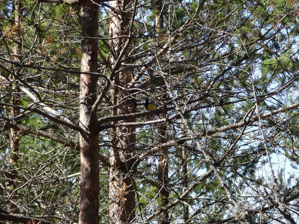
Great tit (Parus major)
17.
Used the hue restorer plug-in to get rid of the cyan-ish sky color.
18.
Rotated the photo slightly and cropped it.
19.
Ibbesjön
20.
21.
Håkängen. Rotated the photo slightly and cropped it.