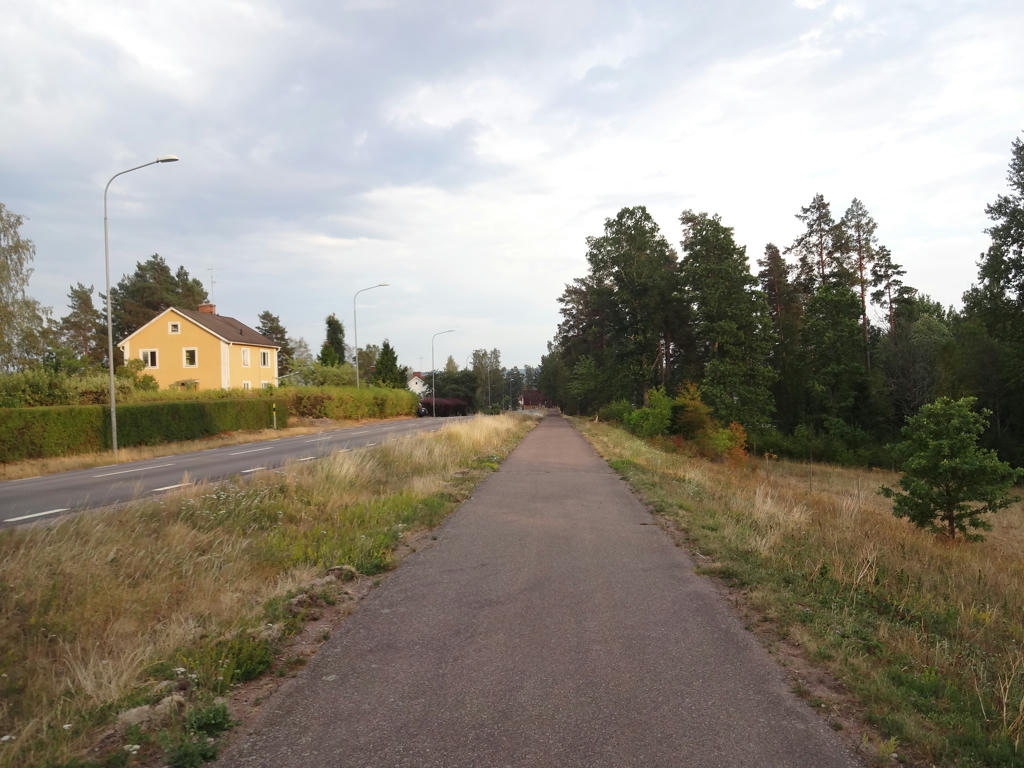
And now time for the final Bohusleden walk! The description of this walk requires quite a lot of backstory. There are two main components to this: The change of path for the trail and the fact that this walk required two attempts despite that it was intended only for one attempt. So the first thing to note is that a lot have changed on what is now Bohusleden stage 23 between Porsås and Flötesmarksön. In fact even stage 22 has changed, it used to end at Daletjärnen and not at Porsås where I ended Bohusleden Walk #14 between Vassbotten and Porsås. Basically what happened was that a landowner didn't want to have the trail go through his land (forests) and so what he did was to remove the signs. You're technically still allowed to walk on the old path because Allemansrätten (the Right of Public Access) applies. However, since there are no signs it could be easy to get lost so I didn't want to go the old path. The municipality is supposedly still working on finding the new path but for now there is no official way between Porsås and Holmen. So what I did was to simply walk on the gravel road from Porsås to Holmen. The rest of the trail is fine. This is the only segment that deviated from the normal Bohusleden trail.
Now, the reason why I wasn't able to finish the walk on my first attempt was because I ran out of space on my camera memory card. Technically the memory card was almost empty but the problem was that according to the camera the memory card was full. I later learned that what you need to do is to format the memory card. So if it says on the camera display that you have for instance that you have space for only 300 photos you should trust it. Simply save the photos elsewhere and format the memory card and the problem is solved. Now the long story was that I drove to Hällevadsholm in the morning and from there I took the bus to Östad. On the bus I ordered local traffic (närtrafik) to the location where I ended Bohusleden Walk #14 between Vassbotten and Porsås. I started walking at 09:37 and reached Holmen at 11:14. Thus I walked the first 6.9km in 1h37mins and my average speed was thus 4.27km/h. Then I continued walking on the Bohusleden trail as planned but after maybe 1.5km-2km (at 12:31) I noticed the issue of not having any more space on my camera. The next 45 minutes I tried to fix the problem in various ways but to no avail. So what I did was to go back to Holmen. I tried calling Västtrafik to order local traffic (närtrafik) but there was no reception. In either case the local traffic (närtrafik) would arrive between 15:00 and 16:00 and I would only be able to get to Östad and not to Hällevadsholm where I needed to go. It's possible I would be able to take the last bus from Östad to Hällevadsholm at 15:20. Regardless it didn't happen that way. At 14:00 I started walking in the direction of the road that goes between Östad and Hällevadsholm. I walked about 15.2km in 2h40mins and reached Tingvall. At the time I didn't know that the bus from Östad only goes twice a day and that it was already far too late so I waited there for a while. I called my mother and found out that the last bus for the day had already gone. So what I did was that at 17:20 I started walking in the direction of Hällevadsholm. The problem however was that it is 18.9km from the place I was to Hällevadsholm. Both when standing at the bus stop in Tingvall and when walking I was trying to hitchhike. Luckily I soon managed to hitchhike. It turned out that it was the bus driver I had met the same morning. He was driving home and he recognized me. He said that when he was driving from Östad to Hällevadsholm he was speaking with an older lady and that she distracted him and that he might have missed someone standing on a bus stop. I told him that he didn't miss me and explained the weird situation. Regardless he agreed to drive me to Hällevadsholm. In Hällevadsholm I went to my car and drove back. So that was that. It was a somewhat hurtful and different experience but what can I say. I was not willing to continue the walk without my camera since taking photographs is one of the fundamental parts of my walks.
After that day I took a significant break from the walks. It was both due to this failure and because I was short on money. Anyway, I returned after almost three weeks to finish what remained. But before I go into that you might be asking: Why did it take until the middle of June for me to go on this walk the first time? Well, the reason is simply because I got very busy with my master's thesis, first programming and then writing the report. Finally I also prepared an opposition and a presentation. I was done with all those things on June 15th. However, after that I still needed to make some changes in the report. Anyway, lets return to the topic of my second attempt. So, just as the first time I went to Hällevadsholm by car and took the bus to Östad. From there I used the local traffic service (närtrafik) but this time I travelled to Holmen directly and started by second attempt there. The reason for this was because I had already taken photographs for the first 6.9km of the walk the first time around. Anyway, I started the walk at 09:47 and finished it at 17:55. The walk included the last 5km of stage 21 between Porsås and Flötesmarksön, stage 20 between Flötesmarksön and Vaktarekullen and 2km to reach Kasebo from Vaktarekullen. In total this part of the walk is 20.5km and it took me 9h45mins. My average speed for this part was 2.52km/h. In total both parts of the walk were 27.4km and took me 9h45mins (note that from the first walk I only include the part between Porsås and Holmen). My total average speed was 2.81km/h. To get back to Hällevadsholm I ordered local traffic from Kasebo.
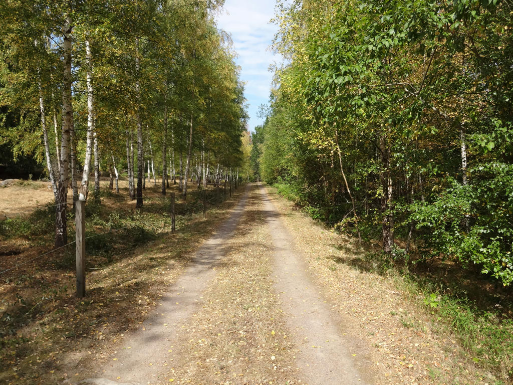
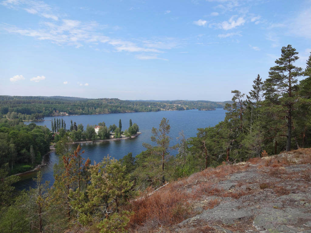
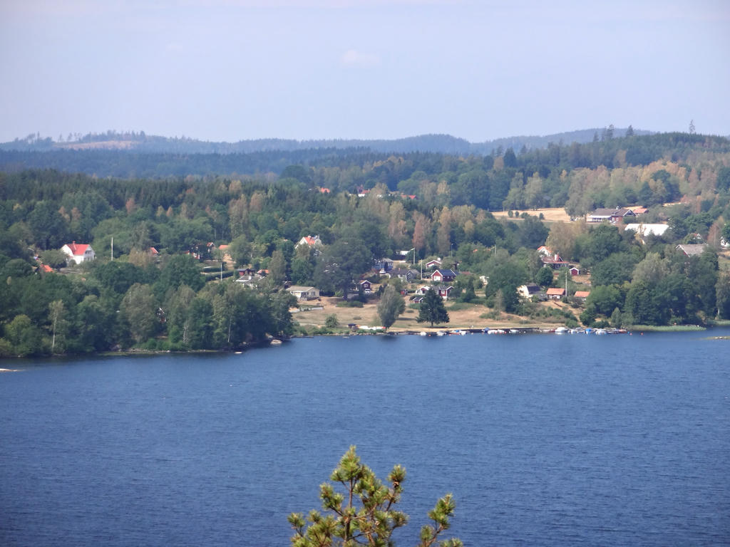
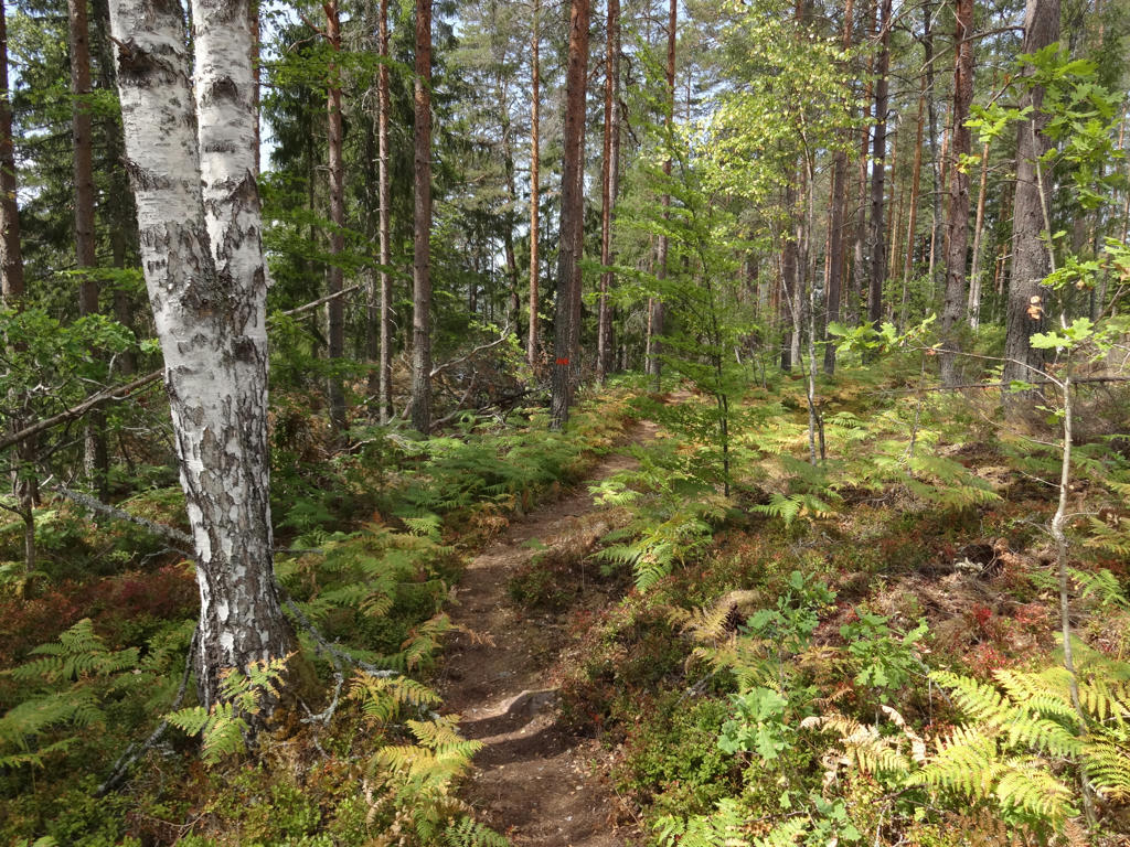
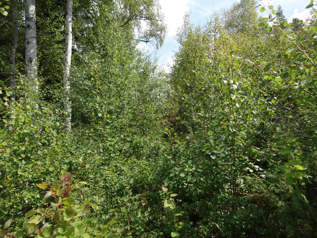
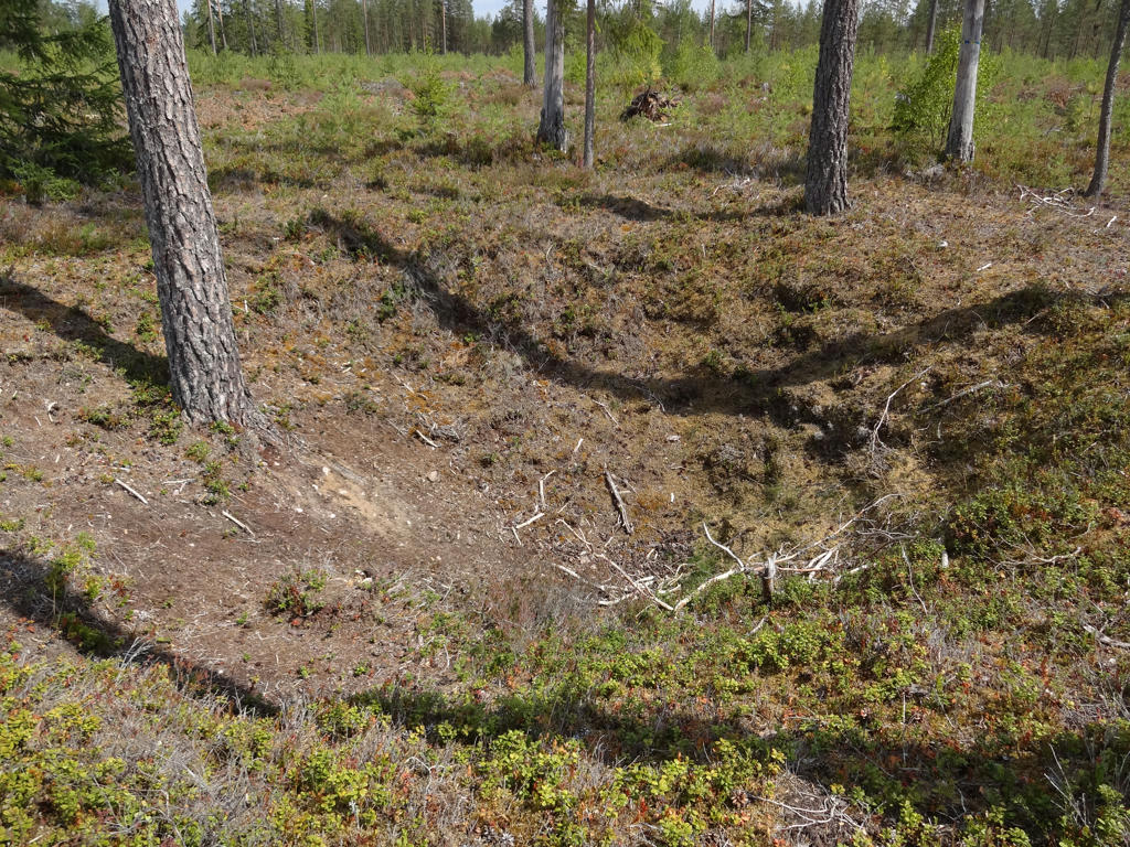
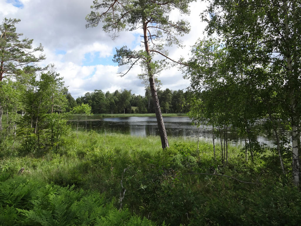
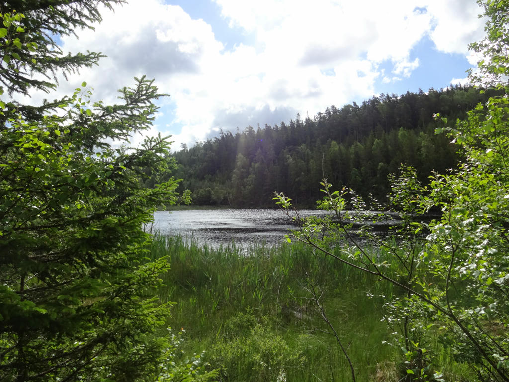
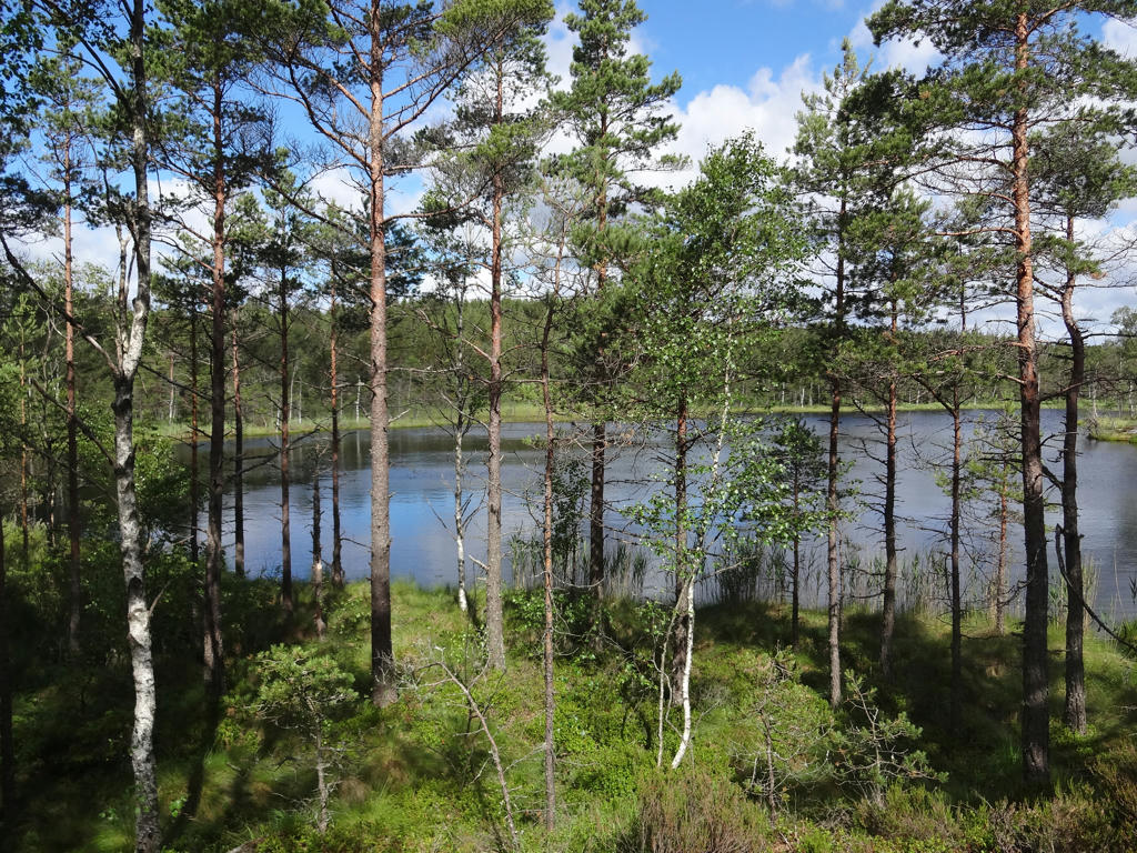
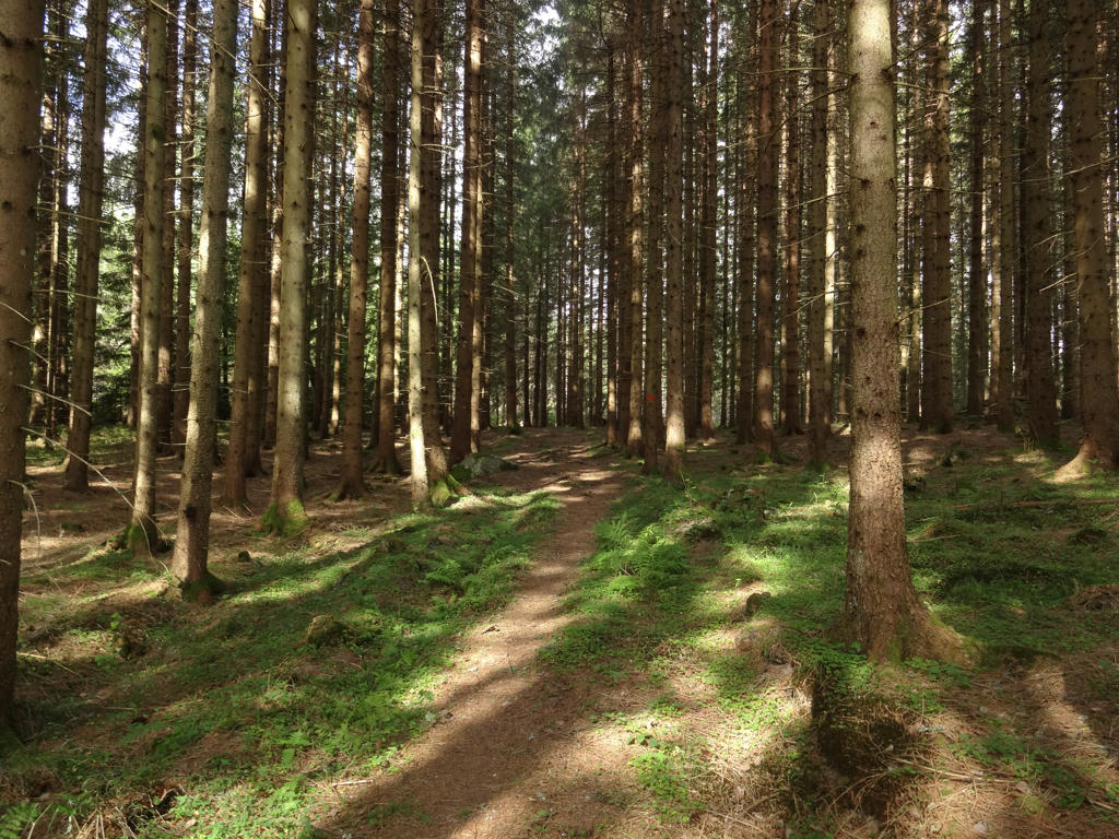
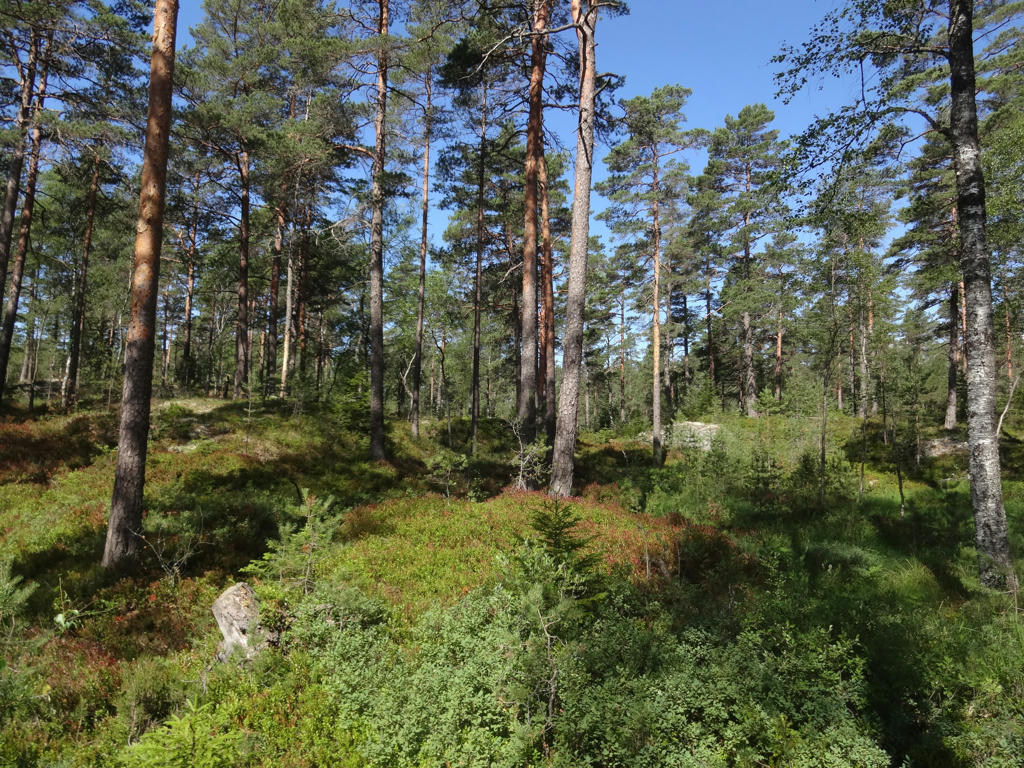
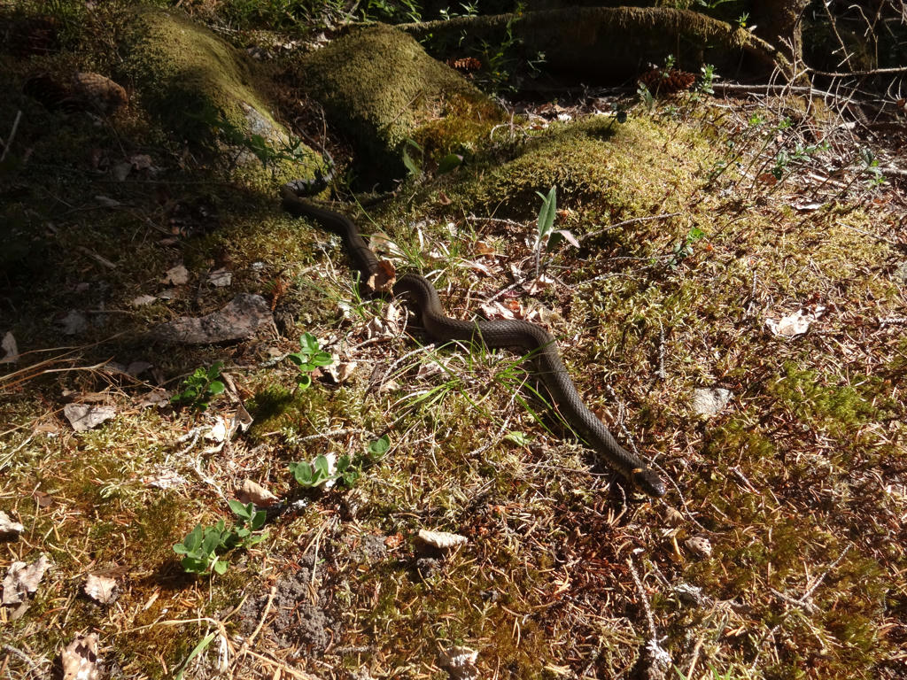
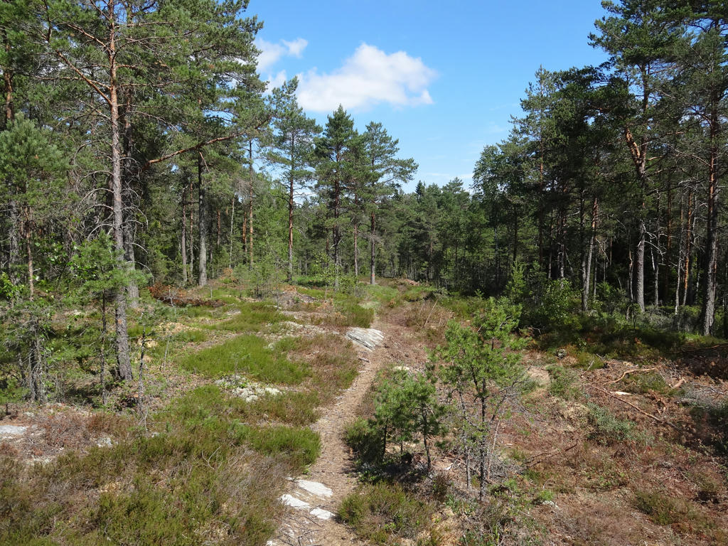
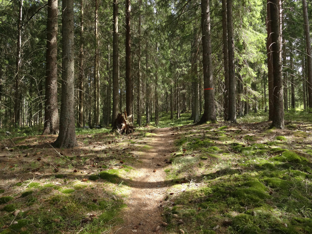
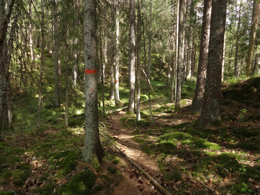
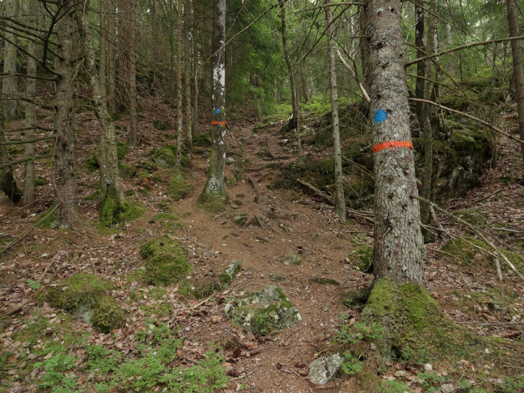
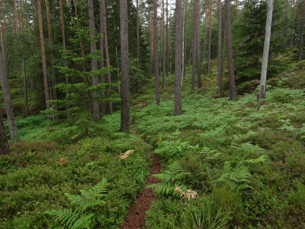
Anyway, that's enough of a general introduction. Lets go the specific characteristics of the walk. The trail goes almost entirely through forests and it goes by many lakes. I would say it has most similarities with Bohusleden Walk #7 from Söbbön to Svarteborg as in both cases the trail goes through Kynnefjäll to some extent. I think the photos will give you a much better idea of the characteristics of the walk. Anyway, I did see a grass snake, a squirrel and a vole. As for the weather it can be noted that it was very dry and it was partially sunny and partially cloudy. Later, at around 16:20 it started to rain and it rained until around 18:00. There was also some thunder. I had not yet experienced this kind of weather during a walking trip. I wore a raincoat but the pants and shoes got very wet. As usual I changed my socks and put plastic bags on the socks. Also note that I did get lost in one place and that was because the path was overgrown and that some of the signs were missing. Anyhow, I've already written way too much. Enjoy the photos!
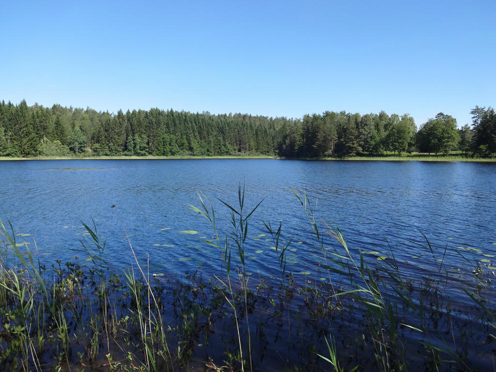
1.
Pinetjärnet
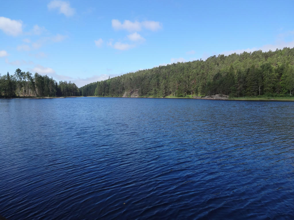
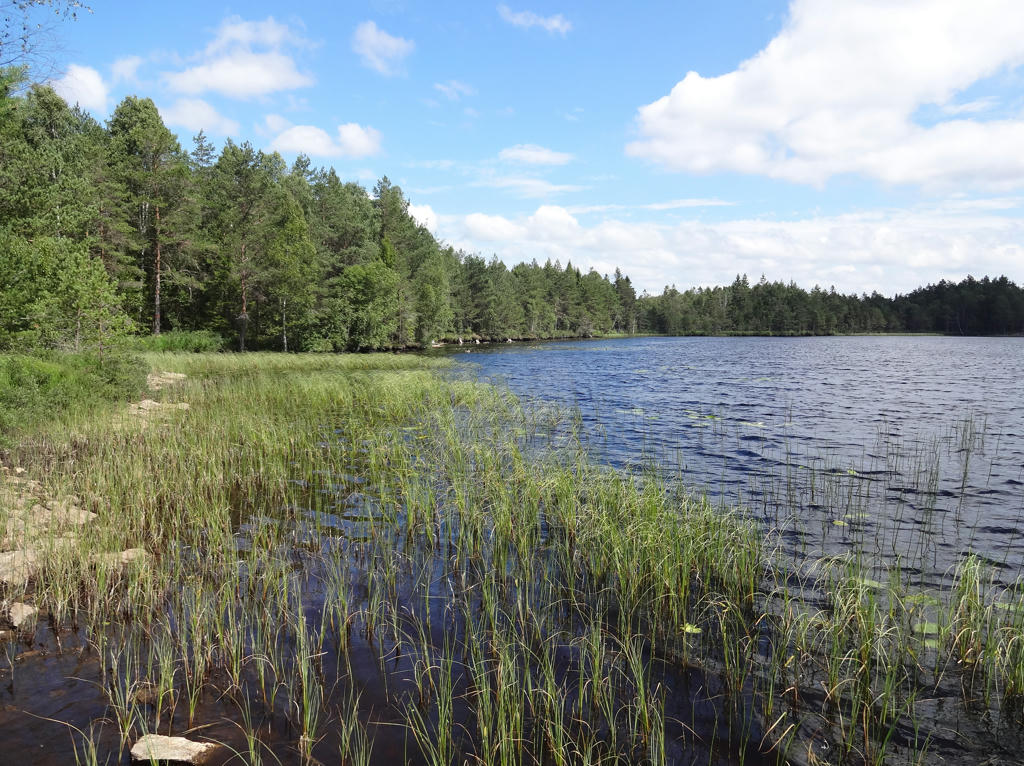
2.
Ulvevattnet. Darkened the sky slightly using the levels tool. Also brightened the non-sky parts using the levels and the curves tools.
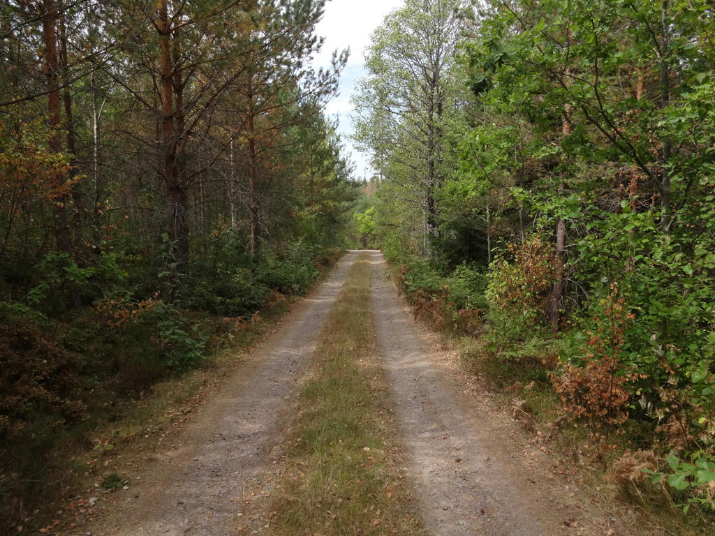
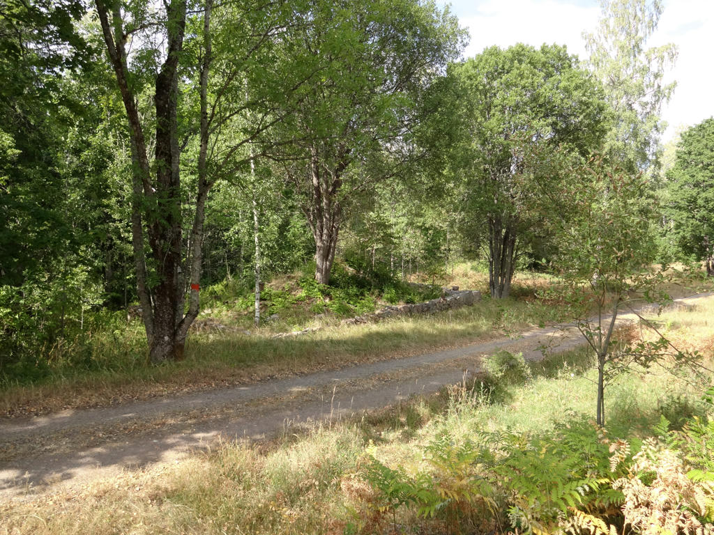
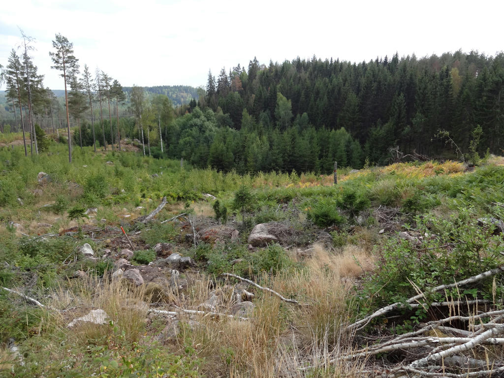
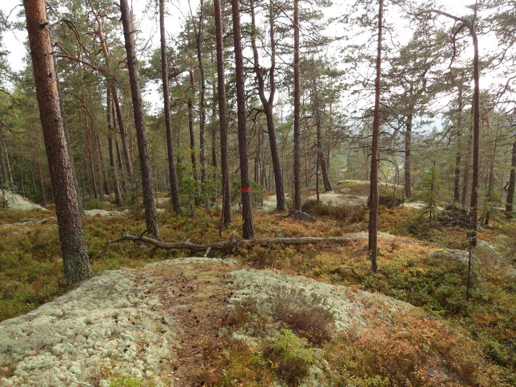
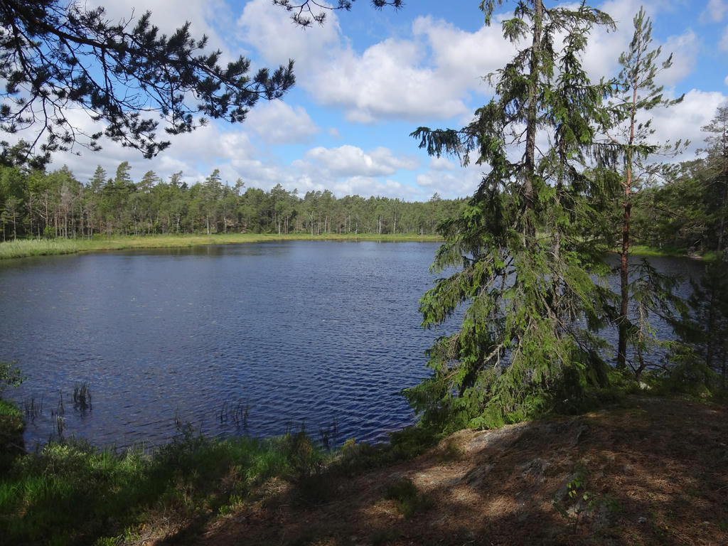
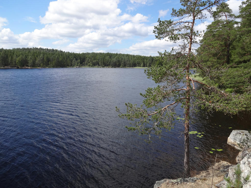
3.
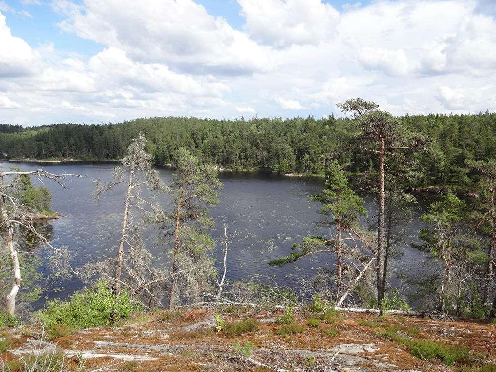
4.
Tretjärnen
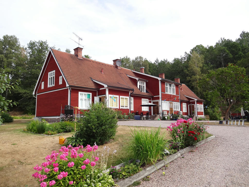
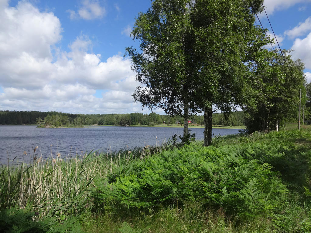
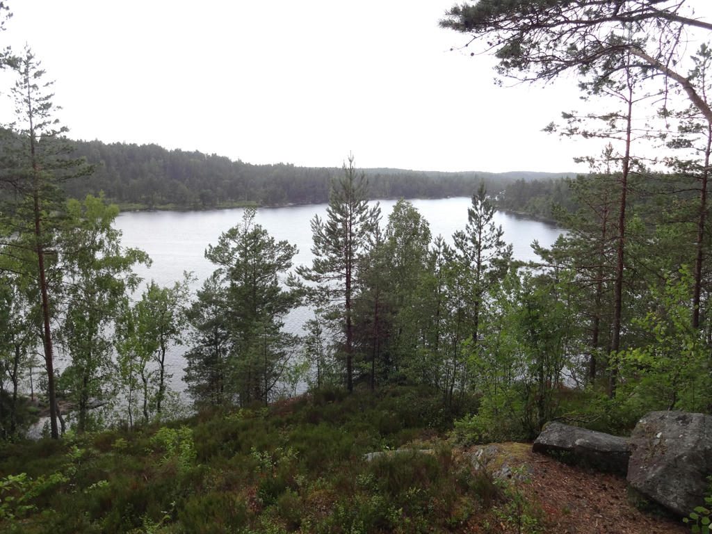
5.
Holmen. Rotated the photo slightly and cropped it. Also brightened the photo slightly using the levels tool.
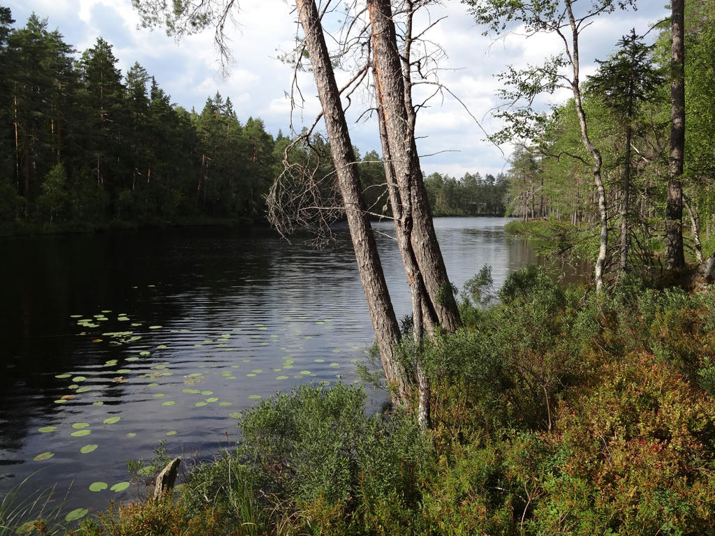
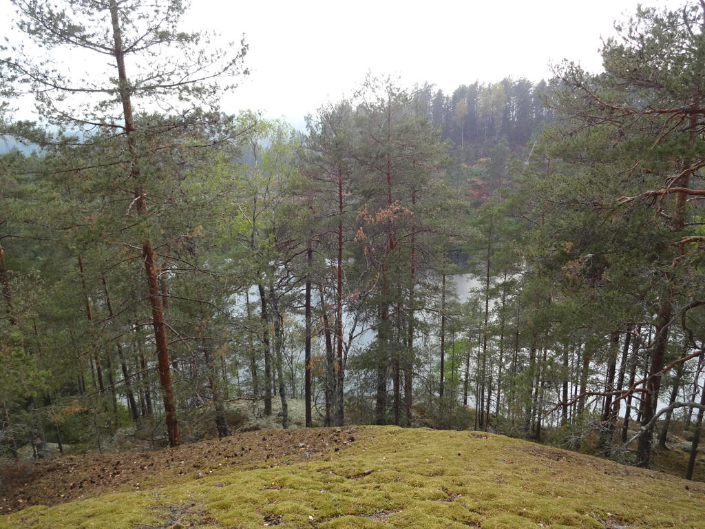
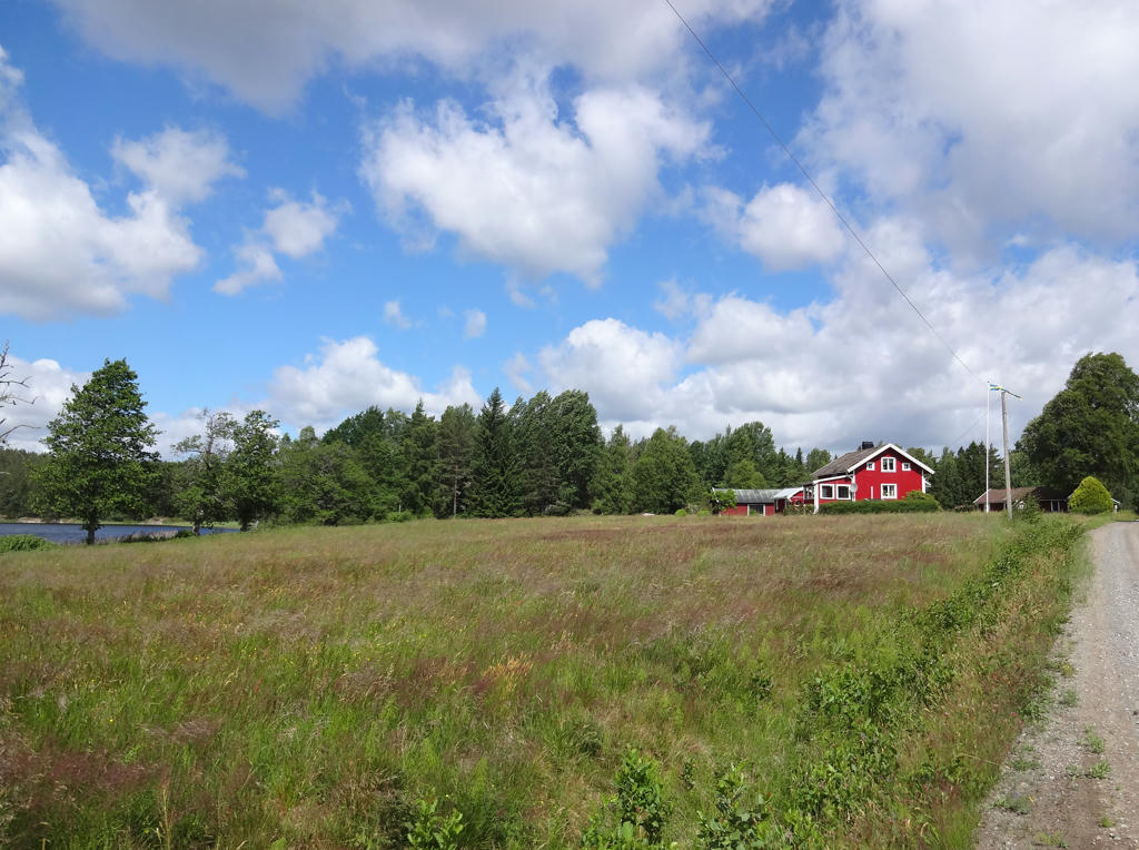
6.
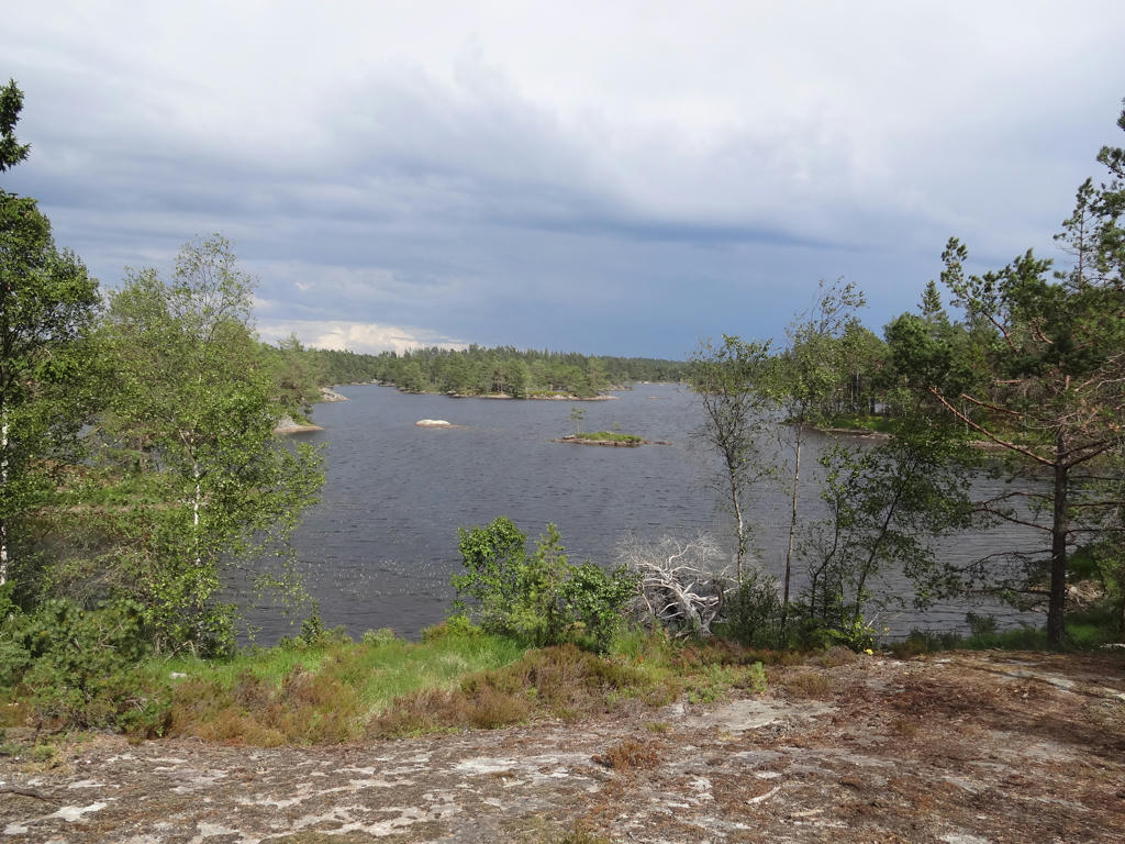
Södra Kornsjön
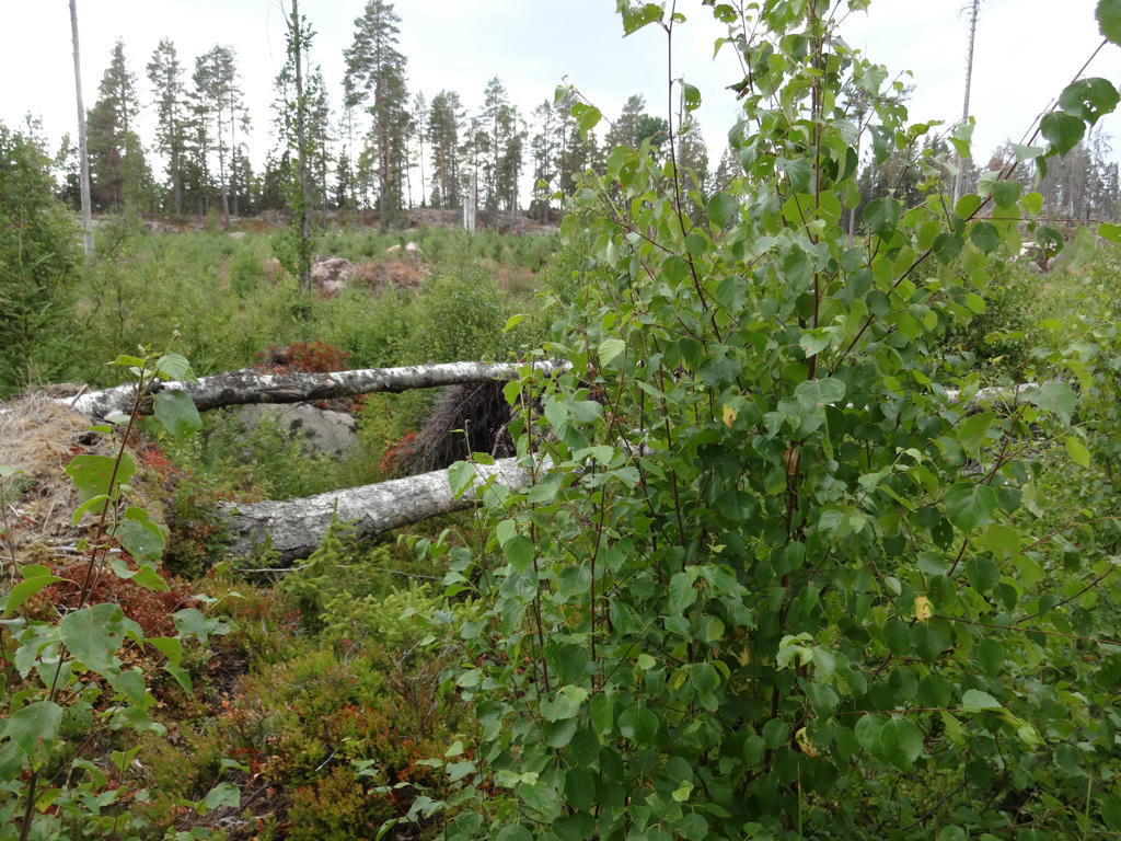
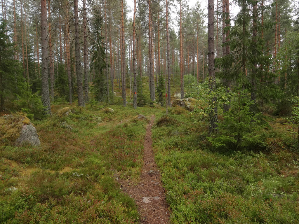
7.
8.
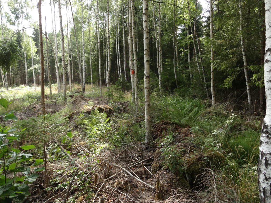
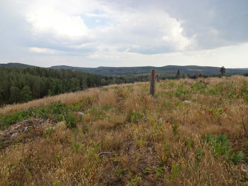
Rotated the photo slightly and cropped it.
9.
10.
Grass snake. Brightened the photo slightly using the levels tool.
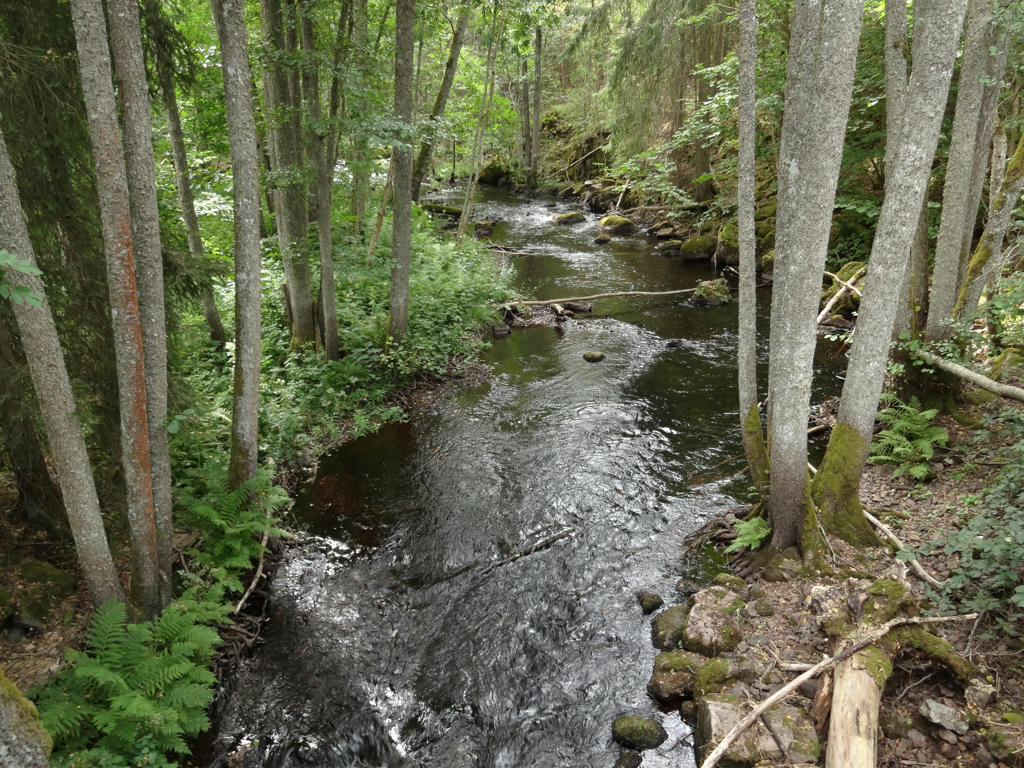
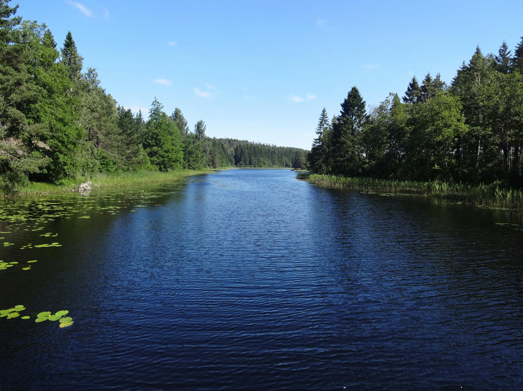
11.
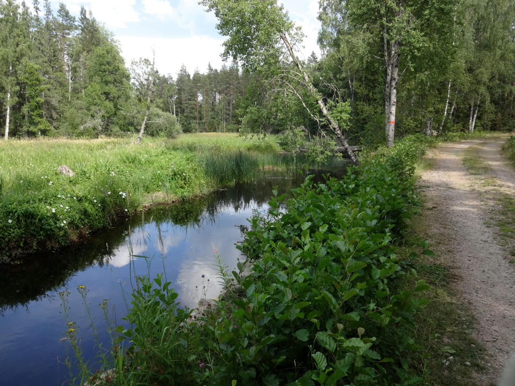
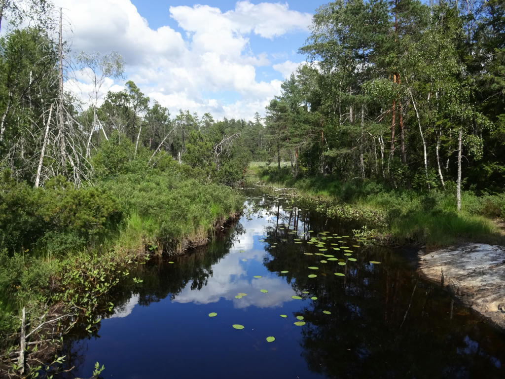
Kynne Älv. Used the hue restorer plug-in to remove the cyan-ish sky color. Also rotated the photo slightly and cropped it.
12.
Kynne Älv. Used the hue restorer plug-in to remove the cyan-ish sky color. Also brightened the non-sky parts slightly using the levels tool.
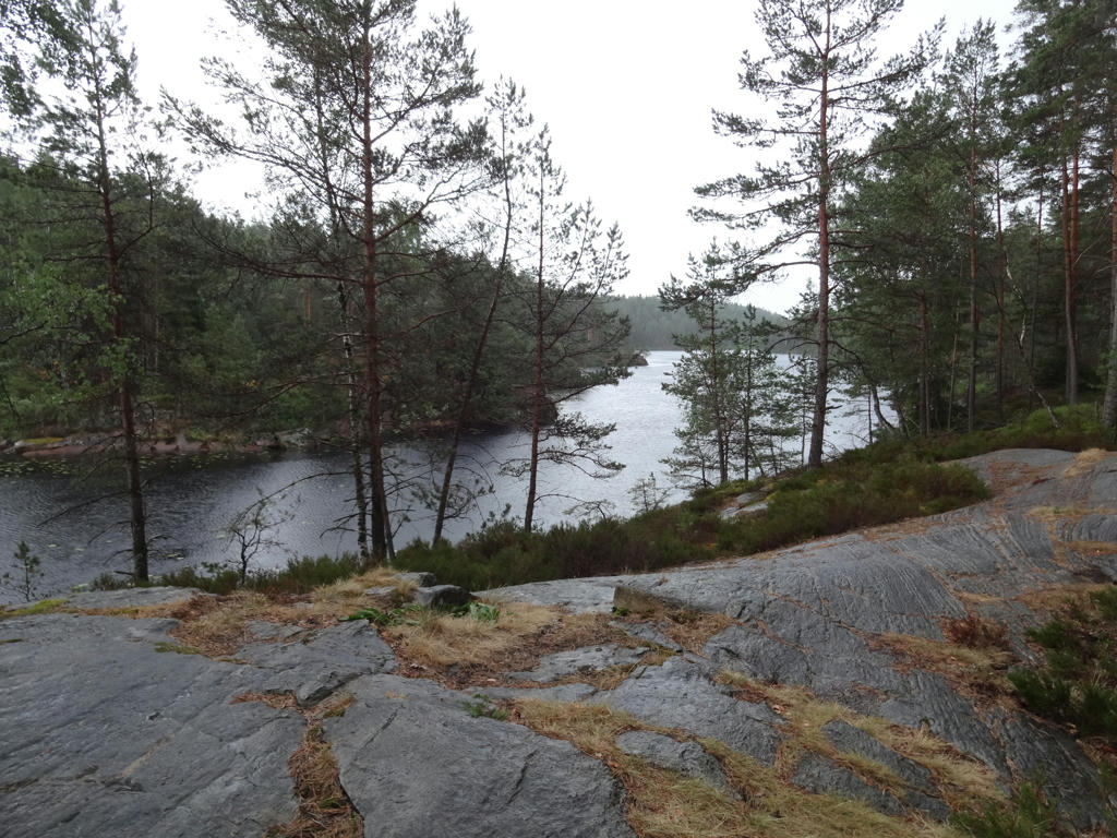
13.
Used the hue restorer plug-in to remove the cyan-ish sky color. .
14.
Trantjärnen. Rotated the photo slightly and cropped it. Also used the hue restorer plug-in to remove the cyan-ish sky color.
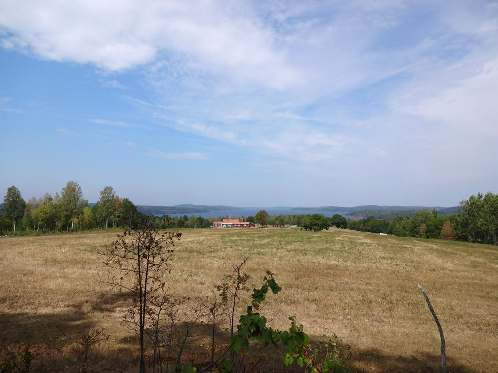
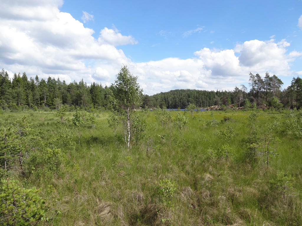
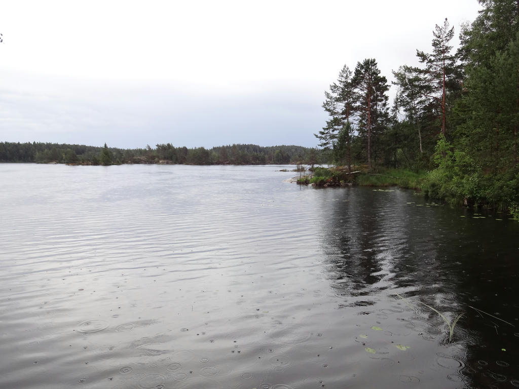
15.
Sjökärrssjön
16.
17.
Brightened the non-sky parts slightly using the levels tool.
18.
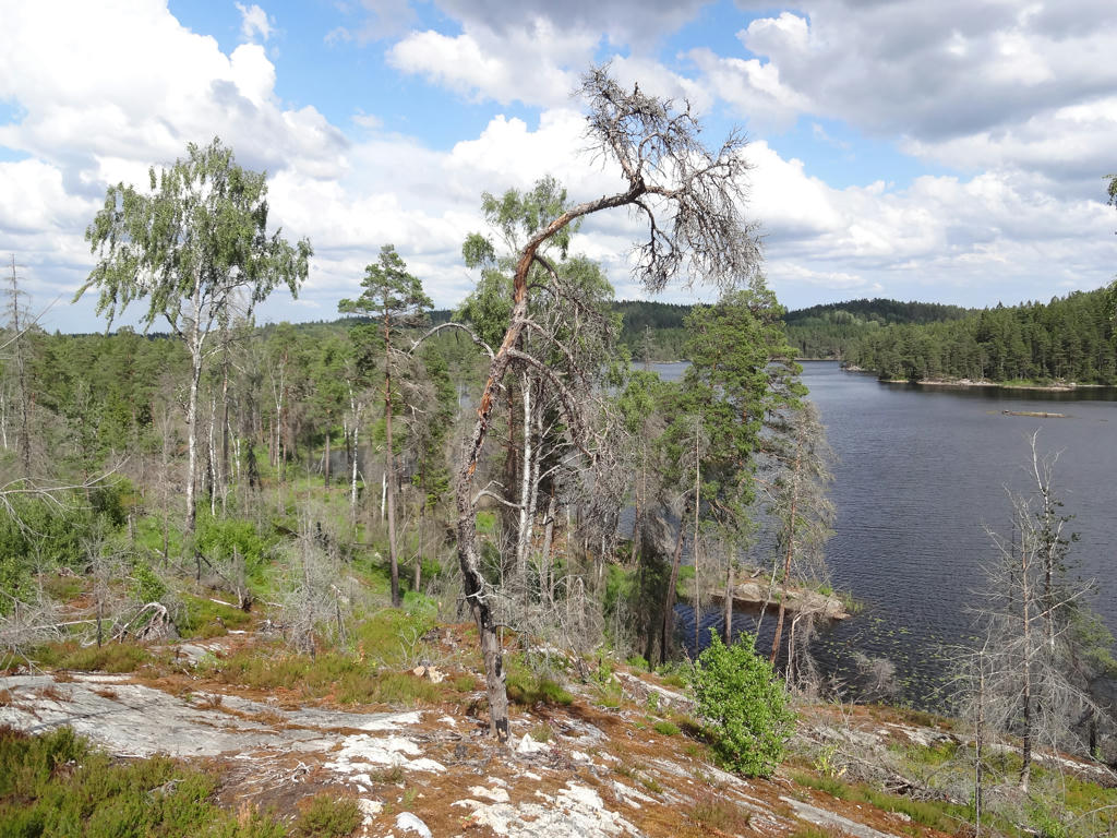
19.
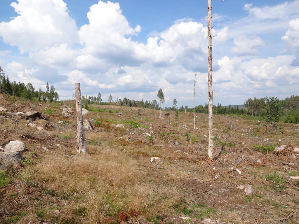
View of Sälesjön. I really enjoyed combination of the burned forest and lake. Very nice views.
20.
Sälesjön
21.
22.
Stora Holmevatten
23.
24.
Stora Holmevatten
25.
26.
Kvarnesjön. Brightened the non-sky parts slightly using the levels tool.
27.
Lilla Holmevatten. Brightened the non-sky parts slightly using the curves tool.