Anyways, to travel to Söbbön (where the walk began) I first traveled from Göteborg to Torp Terminalen with bus 841 which goes in the direction of Lysekil. At Torp Terminalen I switched to bus 860 going in the direction of Kungshamn. I took the bus to Munkedal station where I finally changed to bus 835 to reach the Söbbön bus stop. The travel time from the bus stop near home was 2h57mins. I started the journey at 06:41 and thus arrived at 09:38.
The walk itself can be divided into several parts. The first 5.1km from Söbbön to Kasebo go on asphalt and later gravel roads. From Kasebo to Vaktarekullen (where Bohusleden stage 19 ends and stage 20 begins) there's a further distance of 2km going on footpaths. Thus a distance of about 7.1km was required to reach the Bohusleden trail. Then the walk continued by walking Bohusleden stage 19 from Vakturekullen to Lunden, a distance of 15km. The stage goes first on footpaths, then between Hastetjärnen and Trehörnesjön it goes on a gravel road, then until shortly before Sågen it goes almost entirely on footpaths and finally until Lunden it goes on a gravel road. The walk then continued by walking stage 18 between Lunden and Svarteborg, this stage goes first on gravel roads until shortly after Stallhytt and then goes on an asphalt road. Once stage 18 is complete the only remaining part of the walk was a further 0.4km on the asphalt road required to reach the Svarteborg bus stop. As I've mentioned above the walk was in total 33.5km. The total duration for the walk was 9h45mins and thus my average speed was approximately 3.44km/h. The walk could clearly have been much faster as the majority of the trail goes on gravel or asphalt roads but as usual I spent much time on taking photos and also because of my injury I couldn't walk too fast.
I finished the walk at 19:23 and had to wait for 1h33mins for bus 870 from Svarteborg to Uddevalla. In Uddevalla I switched to the train to Göteborg. The total travel time back was 2h42mins and I thus arrived at the bus stop near home at 23:48.
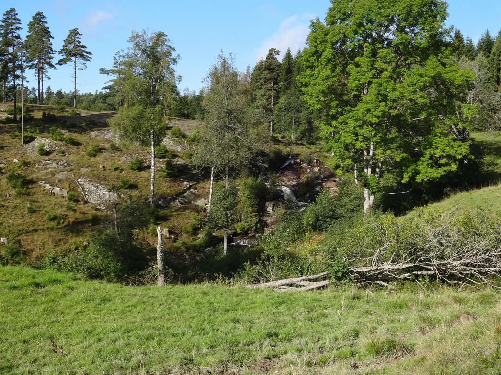
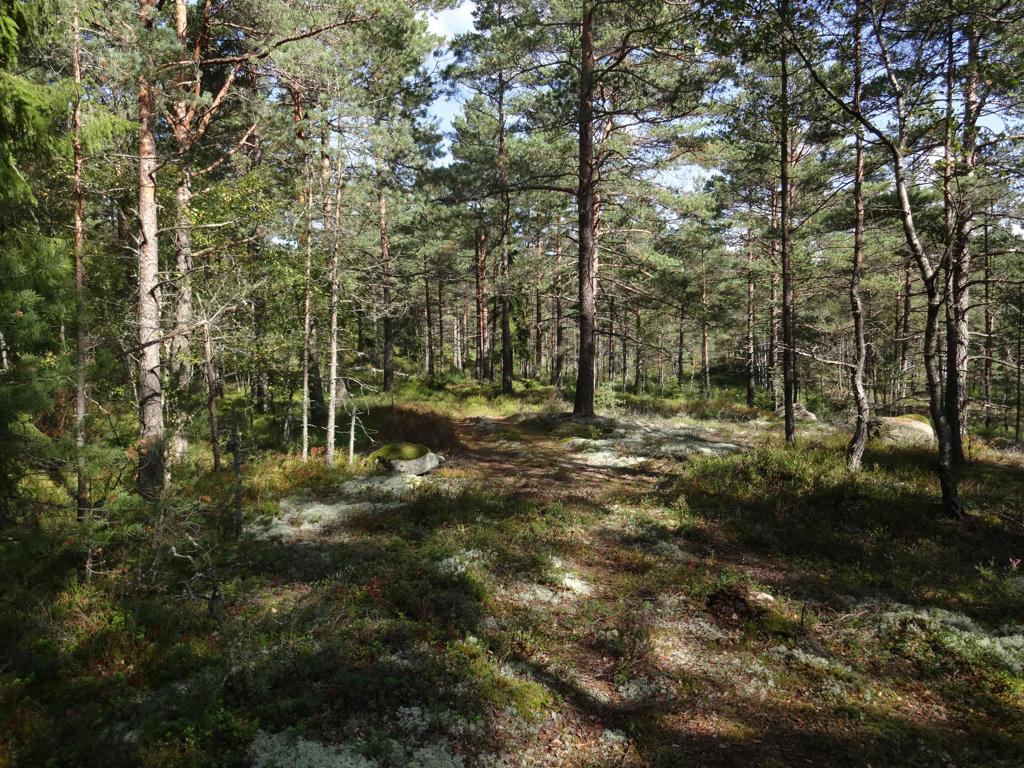
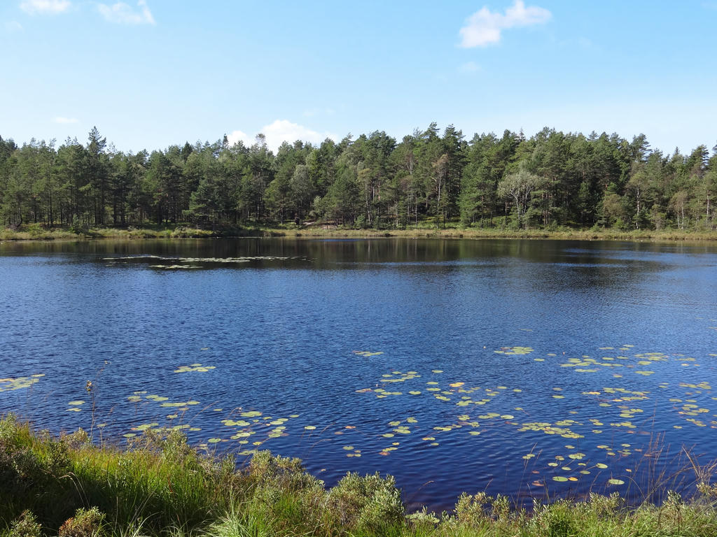
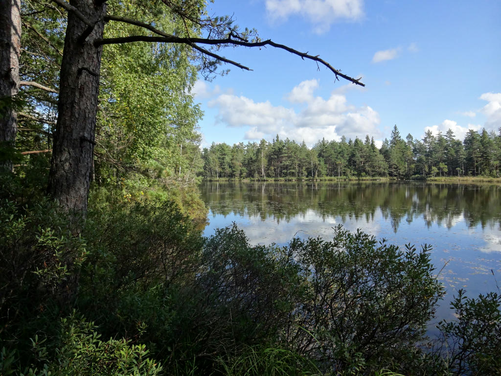
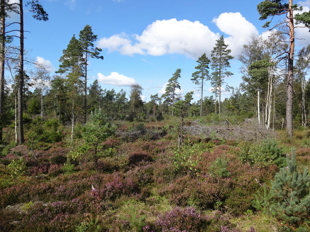
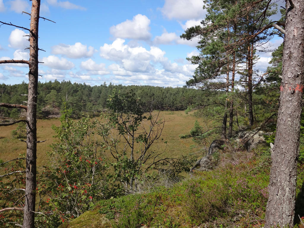
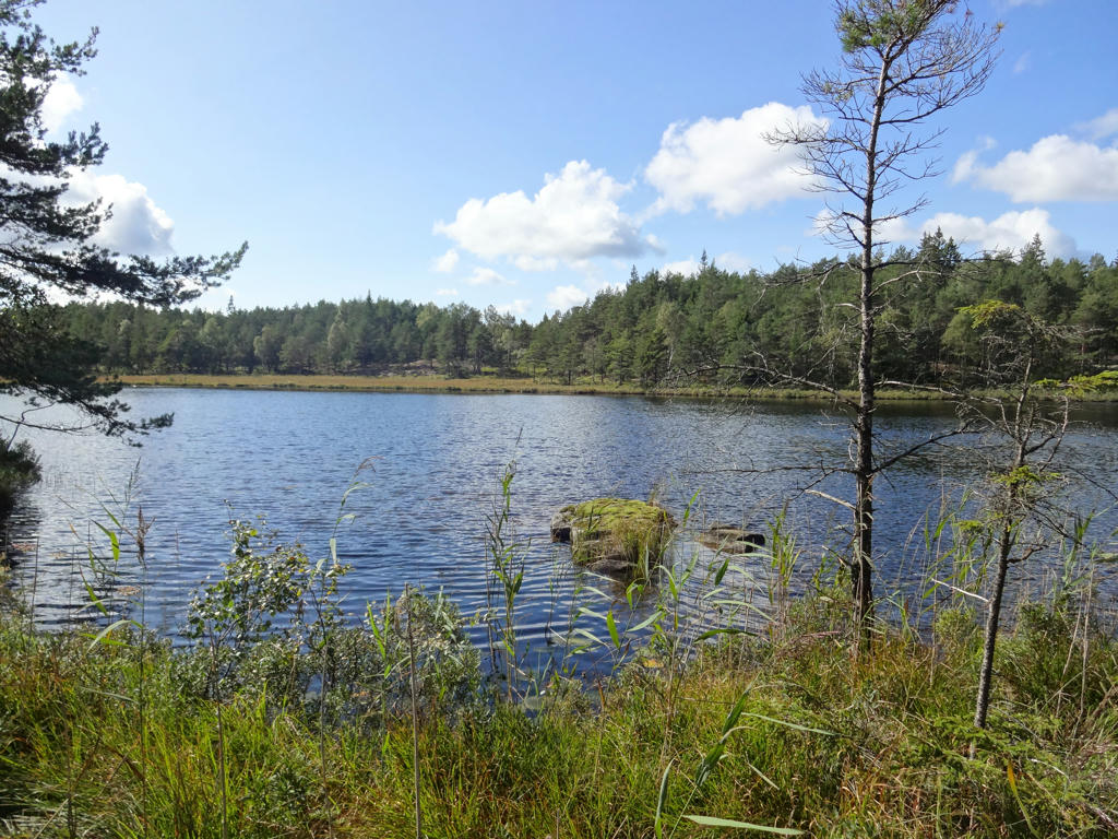
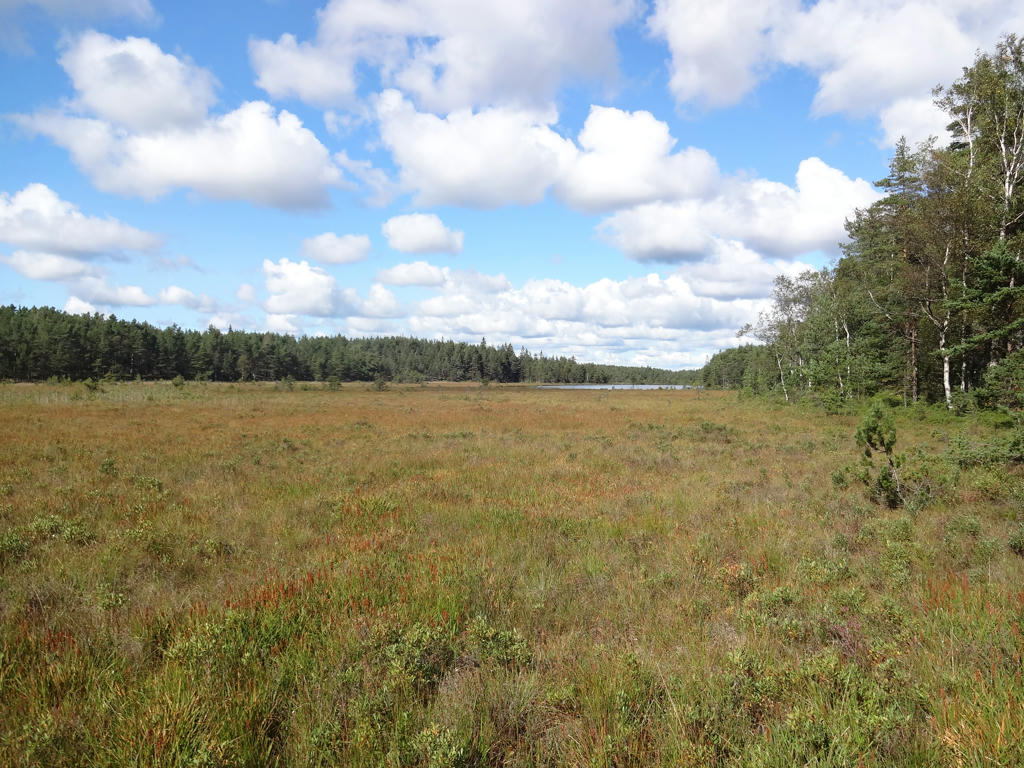
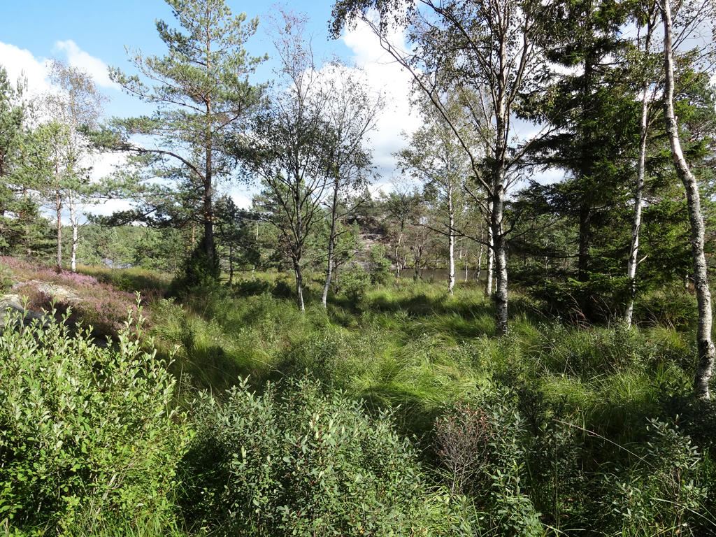
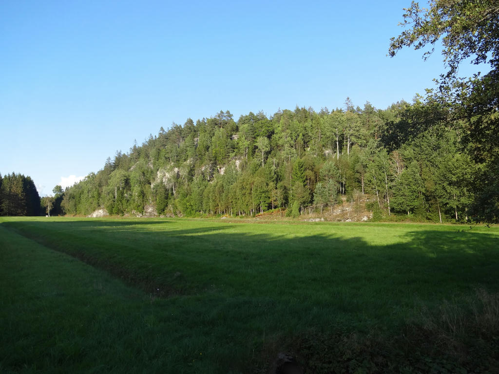
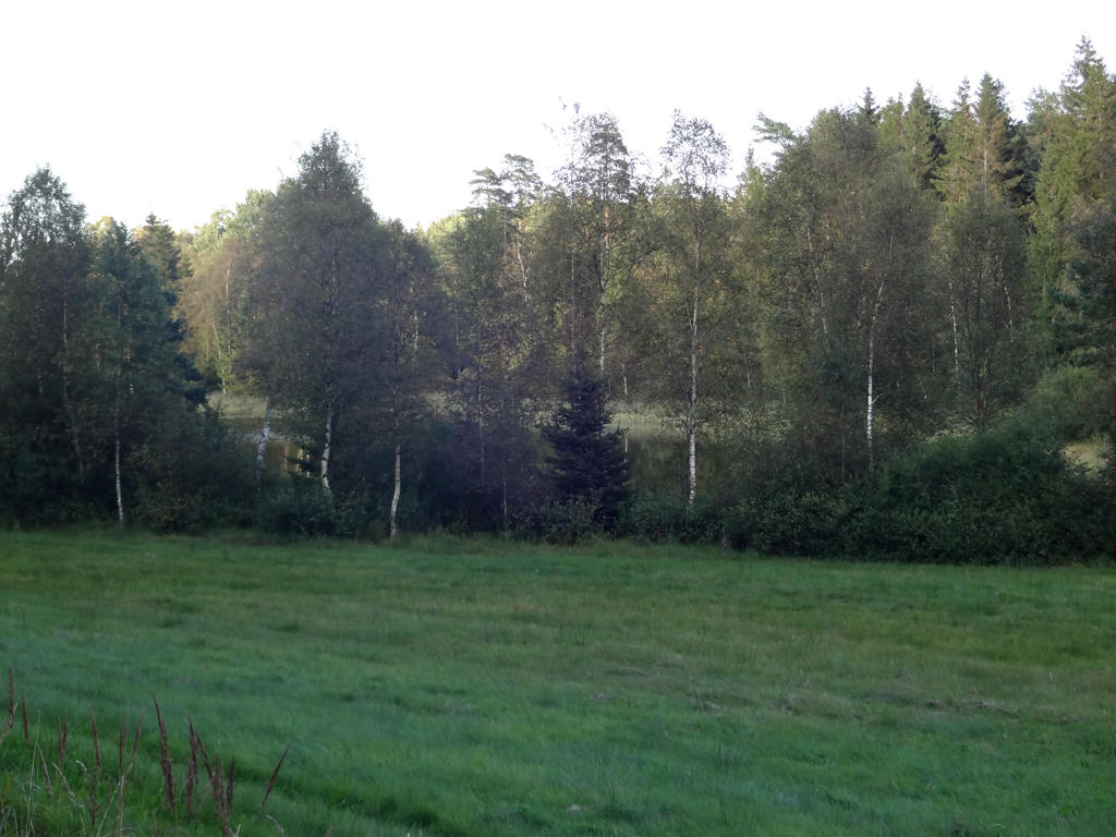
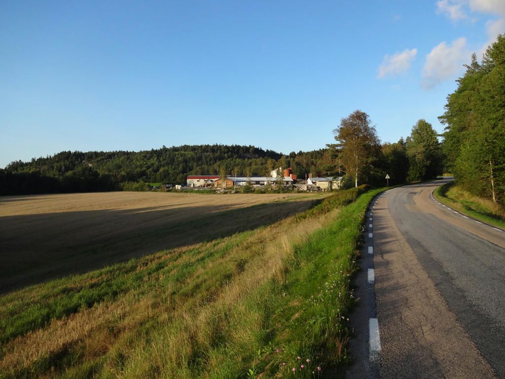
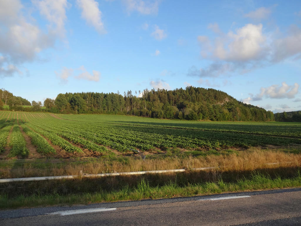
Now with that out of the way it's time to describe the characteristics of the walk. Parts of the walk (at least between Kasebo and shortly before Sågen) go through Bohusläns largest connected wilderness: Kynnefjäll. The forests here are very beautiful. There are also several beautiful bogs/swamps and several beautiful lakes (including Kvarnesjön, Säveleken, Glittervattnet and Äntevattnet) by the trail. Stage 18 between Lunden and Svarteborg doesn't go through as wild parts and is more characterized by small scale farm land but nonetheless there are some beautiful parts here too. The first part of the walk between Söbbön and Kasebo does go through some beautiful terrain and small scale farm land. Finally, Svarteborg itself is a small town but has some interesting buildings.
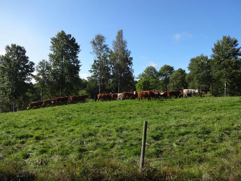
Before I present the photos there are a few other things to note. Firstly, deer flies continued to be an annoyance during this walk. I was attacked by deer flies in three separate locations during this walk. Secondly, this time I saw two squirrels and heard two other squirrels and I also saw a grass snake. Although I could have in theory seen animals such as deers, moose/elks, beavers or even a lynx or a wolf, I didn't have so much luck. Finally, as usual I got wet shoes and I changed my socks a couple of times.
Enjoy the photos!
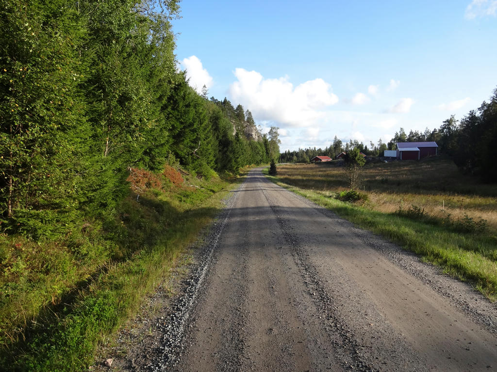
1.
Used the hue restorer plug-in to remove the cyan-ish sky color. Also rotated the photo slightly and cropped it.
2.
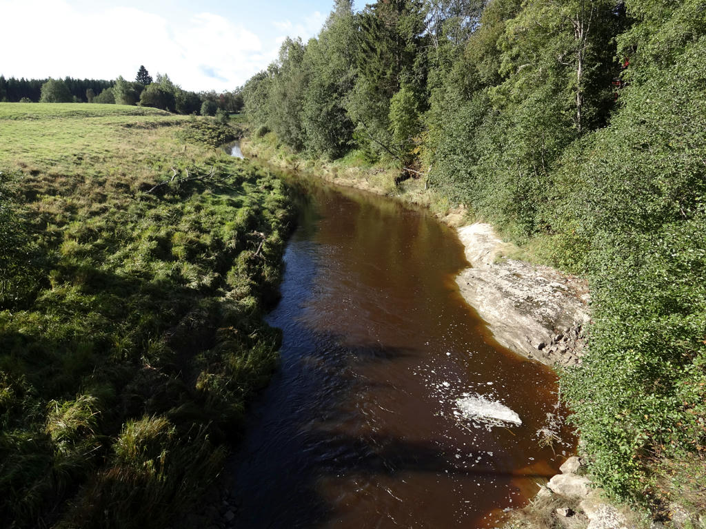
Örekilsälven. Used the hue restorer plug-in to remove the cyan-ish sky color.
Also darkened the sky slightly using the levels tool. Then I increased the contrast slightly using the brightness-contrast tool.
Finally I sharpened the non-sky parts slightly using unsharp mask.
3.
4.
Used the hue restorer plug-in to remove the cyan-ish sky color.
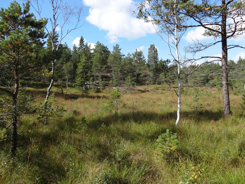
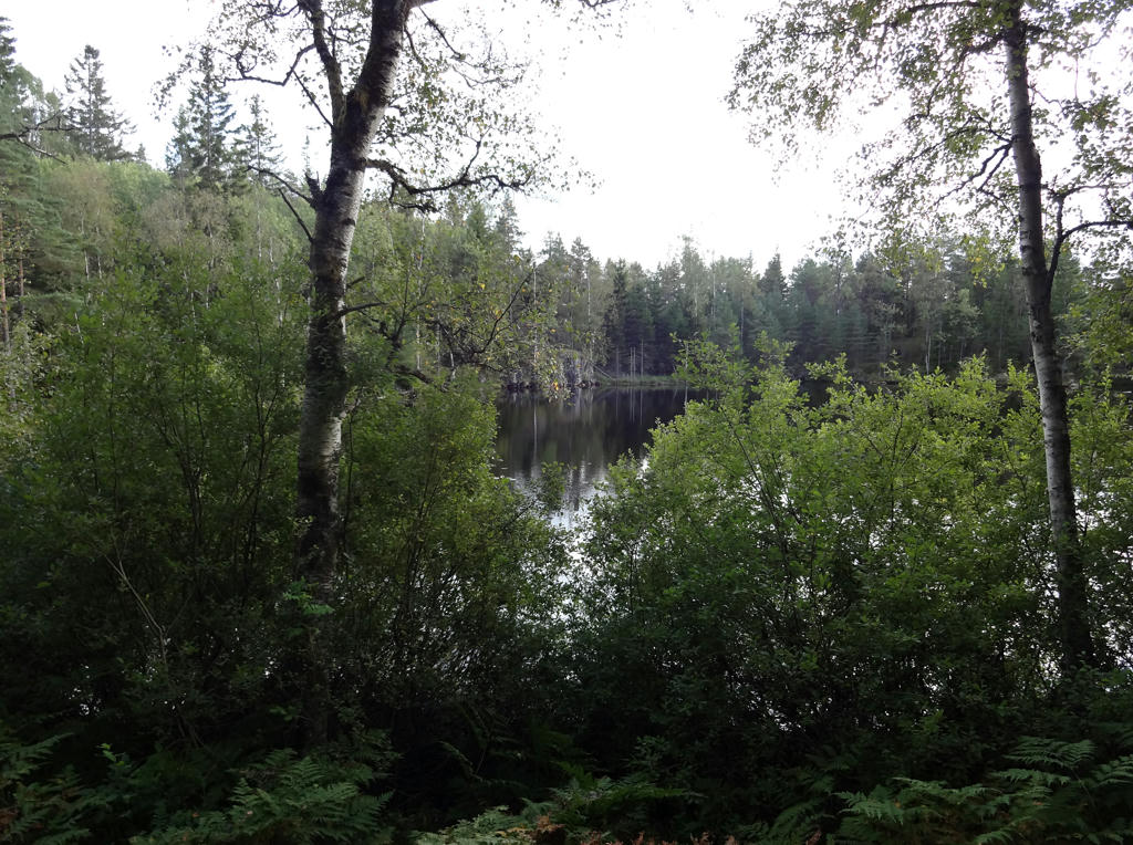
5.
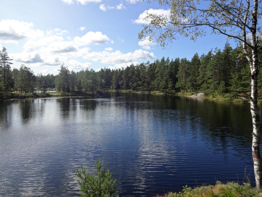
Lilla Holmevattnet
6.
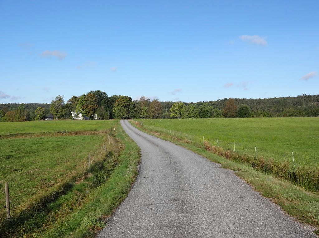
Kasebo. Rotated the photo slightly and cropped it.
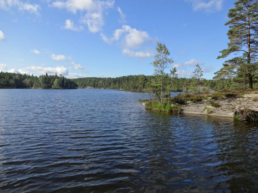
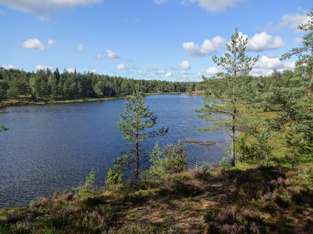
7.
Kvarnesjön. Rotated the photo slightly and cropped it. Darkened the sky slightly using the levels tool.
8.
Used the hue restorer plug-in to reduce the cyan-ish sky color.
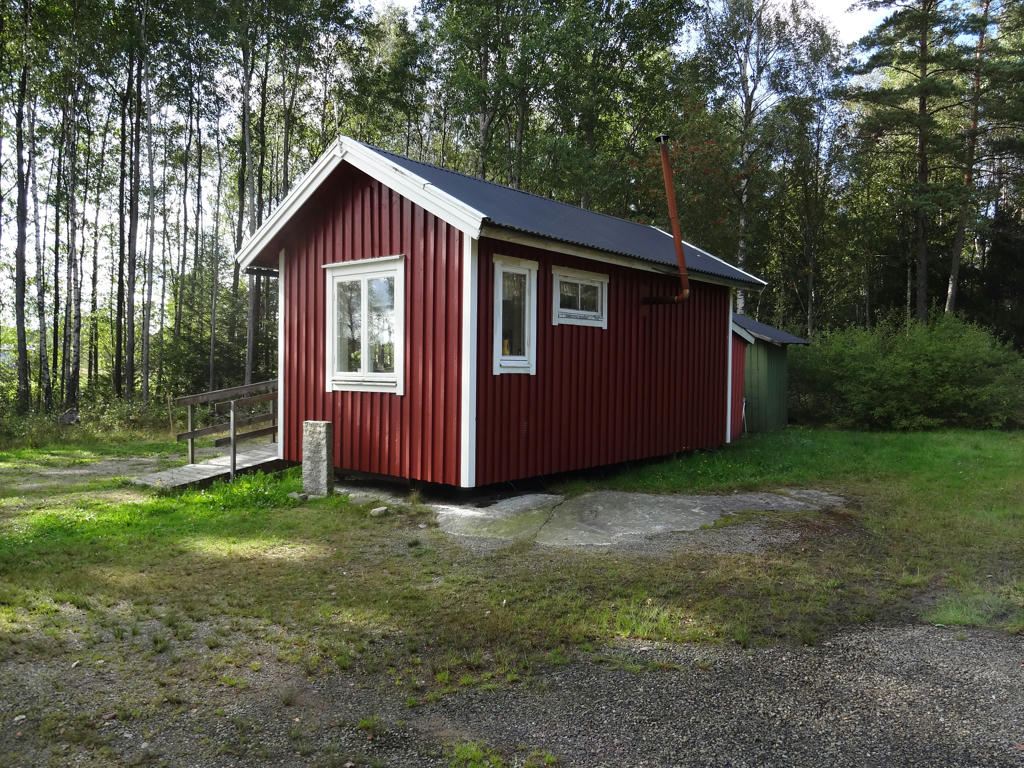
9.
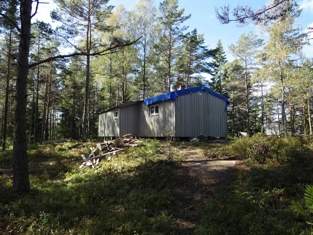
Overnight cottage at Vaktarekullen. Used the hue restorer plug-in to remove the cyan-ish sky color. Also darkened the sky slightly using the levels tool.
10.
Used the hue restorer plug-in to remove the cyan-ish sky color.
11.
Backetjärnen. Used the hue restorer plug-in to remove the cyan-ish sky color.
Also darkened the sky slightly using the levels tool.
12.
Sätersjön. Increased the contrast slightly using the levels tool.
13.
Säveleken. Used the hue restorer plug-in to remove the cyan-ish sky color.
Also darkened the sky slightly using the curves tool.
14.
Used the hue restorer plug-in to remove the cyan-ish sky color. Also rotated the photo slightly and cropped it.
15.
Rotated the photo slightly and cropped it. I also darkened the non-sky parts slightly using the levels tool.
16.
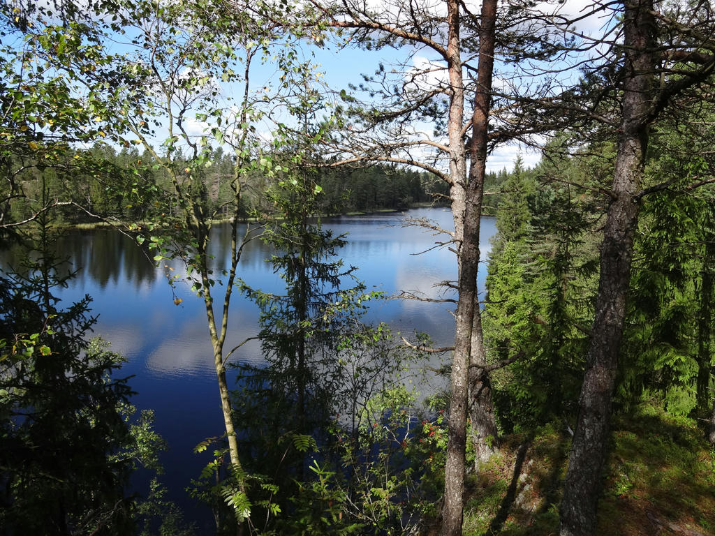
Trehörnesjön. Used the hue restorer plug-in to remove the cyan-ish sky color.
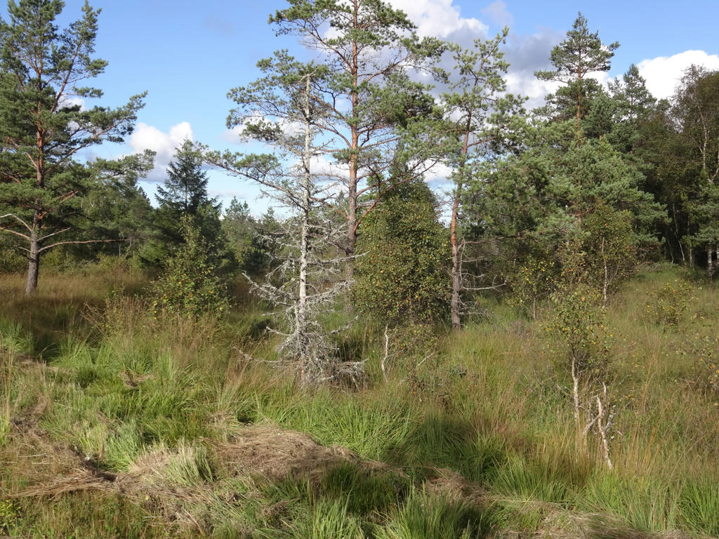
17.
18.
Glittervattnet
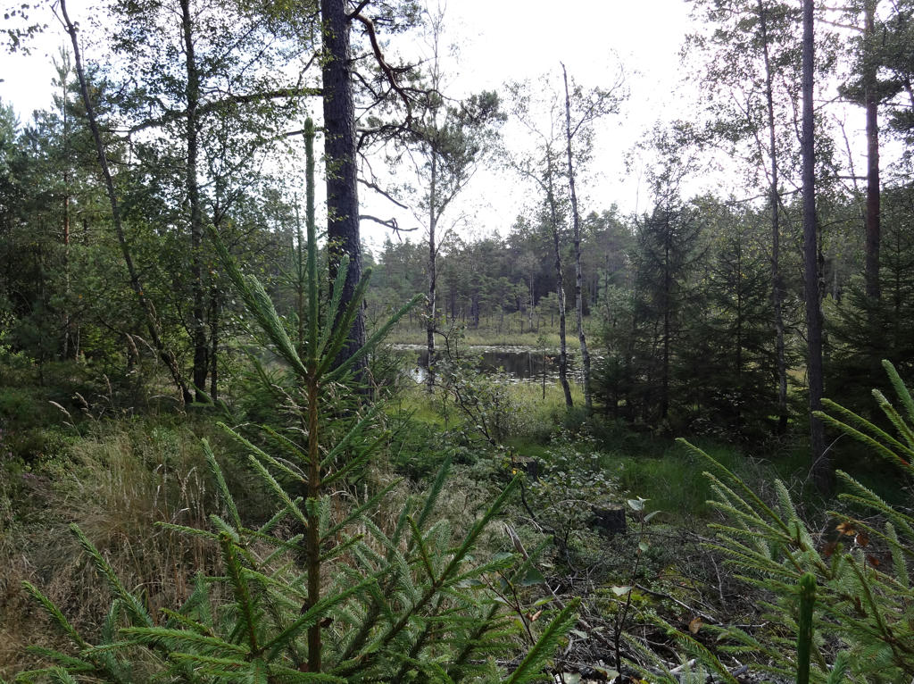
19.
View of bog/swamp and of Glittervattnet.
20.
View of Karlevattnet. Used the hue restorer plug-in to remove the cyan-ish sky color. Also darkened the sky slightly using the levels tool. Finally I increased the contrast for the non-sky parts slightly using the brightness-contrast tool.
21.
Used the hue restorer plug-in to remove the cyan-ish sky color.
22.
Äntervattnet. Used the levels tool to increase the brightness and contrast slightly. Also increased the brightness slightly using the curves tool.
23.
Used the hue restorer plug-in to reduce the cyan-ish sky color. Also darkened the sky slightly using the curves tool. Finally I rotated the photo slightly and cropped it.
24.
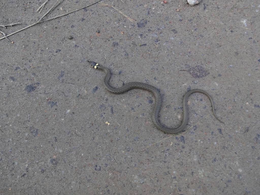
Grass snake
25.
Rotated the photo slightly and cropped it. Then I increased the contrast slightly for the non-sky parts using the levels tool. Finally I sharpened the photo slightly using unsharp mask.
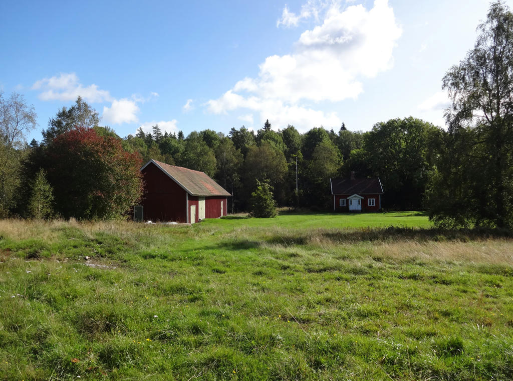
26.
Lunden (guardian cabin). During a period of 20 years(between 1980 and 2000), the group Rädda Kynnefjäll guarded against Kynnefjäll becoming a place to store nuclear waste.
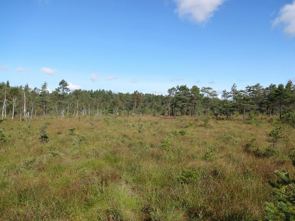
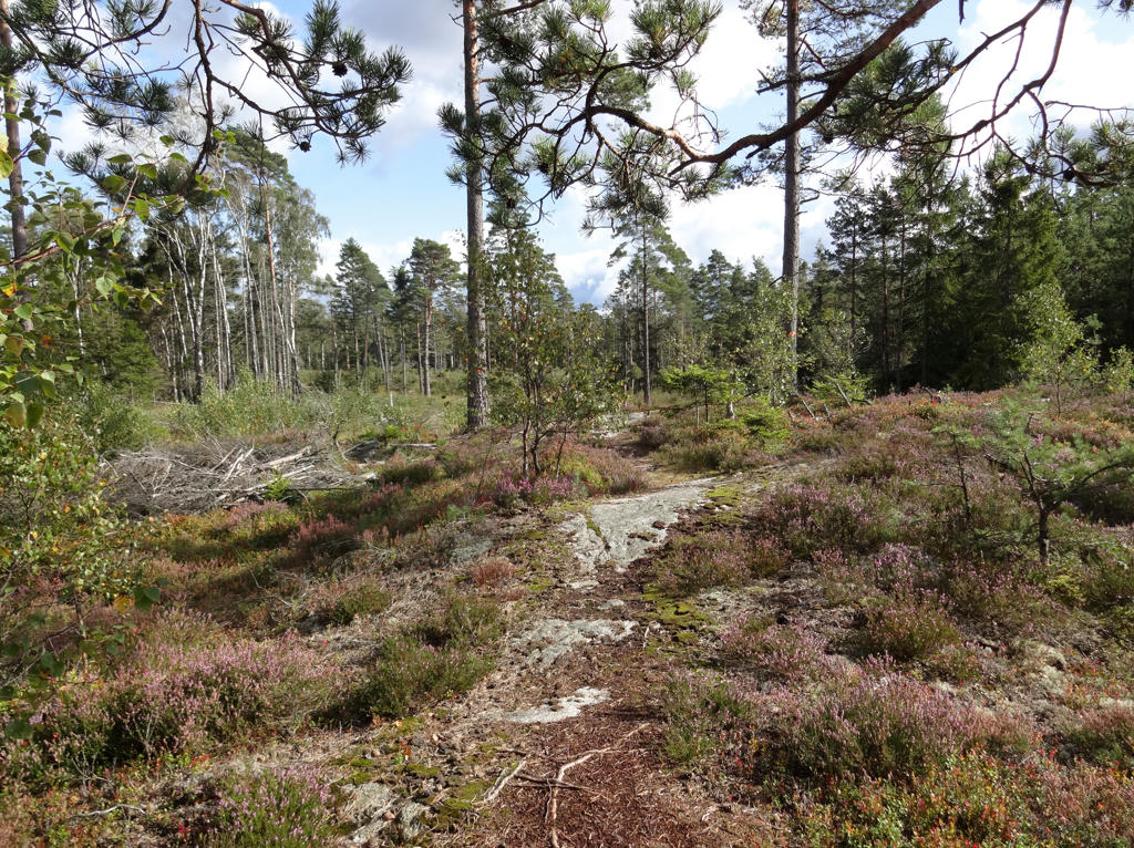
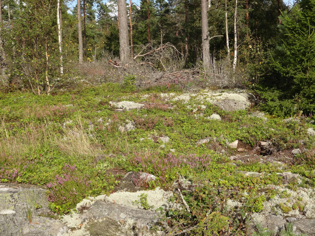
27.
Part of the Bredmossen nature reserve.
28.
29.
Used the hue restorer plug-in to reduce the cyan-ish sky color. Also darkened the sky slightly using the levels and curves tools.
30.
Used the hue restorer plug-in to reduce the cyan-ish sky color.
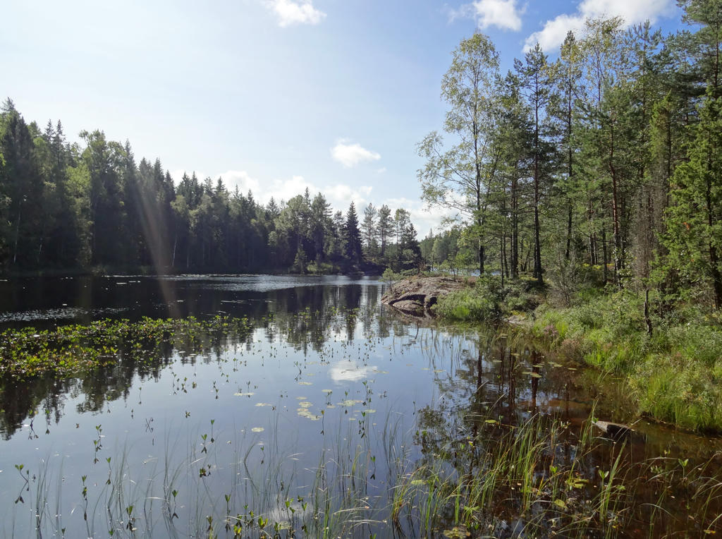
31.
Lintjärnen. Increased the contrast slightly for the non-sky parts using the brightness-contrast tool.
32.
33.
34.
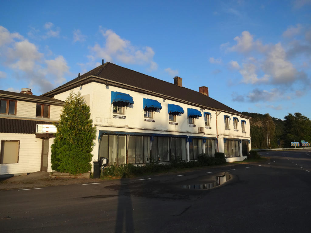
Kung Rame. There used to be a restaurant in this building. I don't know what the building is used for now. Used the levels tool to separately brighten the sky slightly and brighten the non-sky parts slightly.
35.
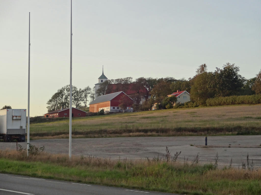
Svarteborg church
Inga kommentarer:
Skicka en kommentar