Unlike the previous two Bohusleden walks this one was not close to home. In the morning I traveled to the Sälghugget bus stop in Uddevalla. I arrived at the bus stop at 7:36 which is the earliest possible public transport connection from where I live. In total the travel time was 2h12mins. The walk itself can be divided into several parts. The first 1.6km of the walk was required to reach the trail from the bus stop. The next part of the walk was Bohusleden stage 14 between Bovik and Metsjö, a distance of 12km. Next follows Bohusleden stage 15 between Metsjö and Kaserna. Although this stage is officially 17.5km, near the end of the stage there are two alternative routes, each going on one side of the river Munkedalsälven. The northern alternative route is approximately 1.7km and the southern alternative route is approximately 2.1km. What I did was to walk first the northern alternative route, then the southern alternative route and then the northern alternative route again in order to cover all the possibilities. Once I finished the northern alternative route the first time the time was 18:44 but after walking around (taking the southern and then northern route) the time was 20:11. By this point it was almost entirely dark, at least in the forest (officially the sunset in Munkedal at August 28th is at 20:23 but it was dark earlier than that). I ended up walking in the dark in the forest until reaching the end of the stage. Walking in the dark in the forest, especially without a flashlight, is not something I want to do again. It was hard to see (obviously), easy to trip (especially when it's slippery as was the case) and very hard to take decent photos. There is a relatively short distance (slightly more than 1km) required to reach the end of the stage after taking either the northern or southern route. And the distance to the closest bus stop Pumpbron is then 1.6km. If I wouldn't have also taken the southern route and then the northern route I would have easily made it on time for the last bus from the Pumpbron bus stop at 19:40. However, I ended up at the Pumpbron bus stop at 20:57, so clearly it was far too late. The only alternative was then to walk to one of the bus stops near the center of Munkedal. However, it was dark and it was hard to know where I needed to go to find the center of Munkedal. That's why I got a bit lost. I also ran some, hoping I would find a relevant bus stop earlier but it didn't help much. Eventually at 21:45 I found the Bruksvägen bus stop. In total I needed to add at least 4.3km of walking from the Pumpbron bus stop. Thus in total the walk was approximately 40.6km, which became my longest walk unintentionally. It also unintentionally became my walk with the longest duration, namely 14h9mins! In any case, after I reached the Bruksvägen bus stop I waited until 22:13 for the bus to arrive. After 2h31mins, i.e. at 00:44, I arrived at the bus stop close to my house.
The issues didn't end after the walk. Somehow I managed to get an injury, in the form of a swelling above my left foot, during the walk. I think this occurred either when I was walking in the dark in the forest and tripped a bit a couple of times or when I ran trying to reach the center of Munkedal. Strangely enough I didn't feel the injury at first. I think it became noticeable first in the morning. The effect of the injury was that it hurt when I was walking. It hurt especially much when walking on uneven terrain or downhill. The injury lasted for almost 3 weeks and certainly affected my ability to finish the Bohusleden walks in 2017. However, despite this I went on Bohusleden Walk #7 between Söbbön and Svarteborg already Friday September 1st. Although it was a painful experience, the weather was very nice (it couldn't be much better) and I don't regret going on the walk that day. I will go into more details about that in the next Bohusleden blog post but for now lets focus on the Bohusleden walk between Bovik and Munkedal.
As noted above this was the longest walk and the walk with the longest duration. But what was the average speed? Well, it was approximately 2.76km/h. This slow walking speed was a consequence of several things: The walk goes for the most part on footpaths, the terrain is pretty demanding (there's much height variation), there are many highlights and the walk goes through wild and beautiful terrains and finally because of these things I ended up taking even more photos than usual. 1586 to be precise! It can be noted that even without taking photos it can be a pretty slow walk as you can see from the 2015 Bohusleden walks in the summary (see the walk #6 on the list). Back in 2015 it was the walk with the longest duration and the second slowest average speed.
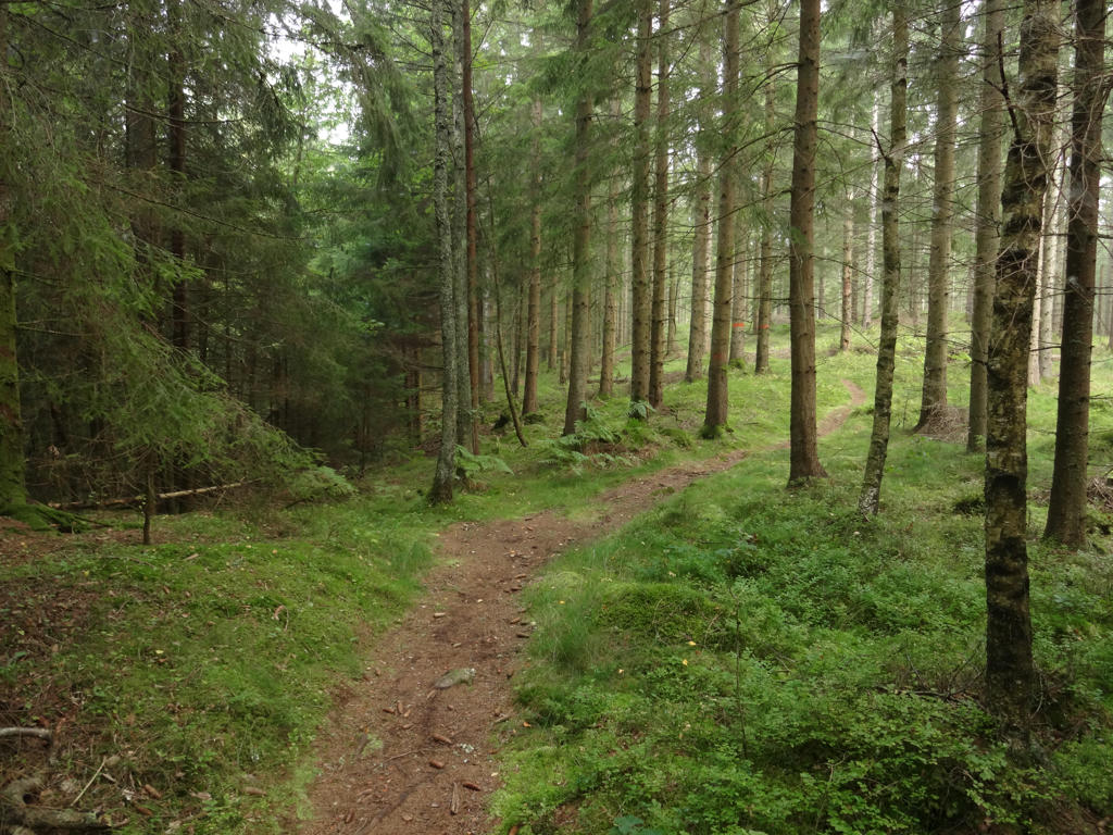
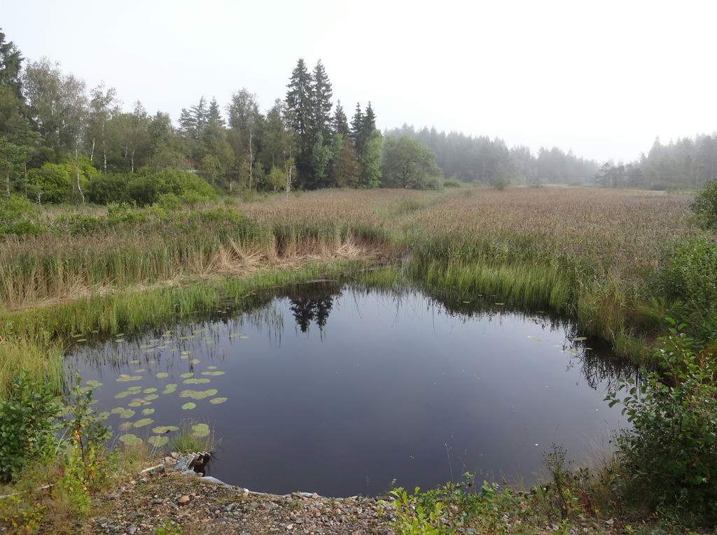
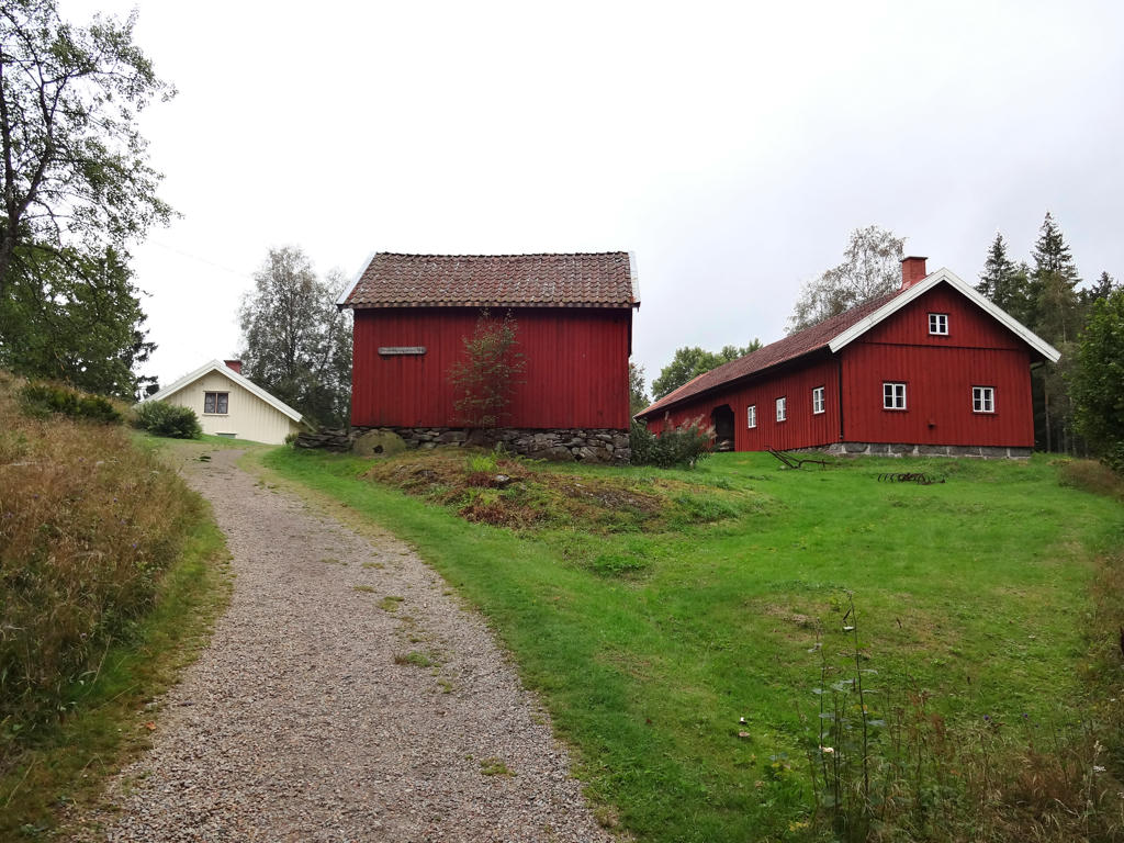
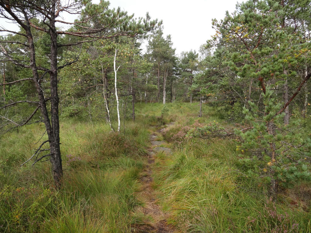
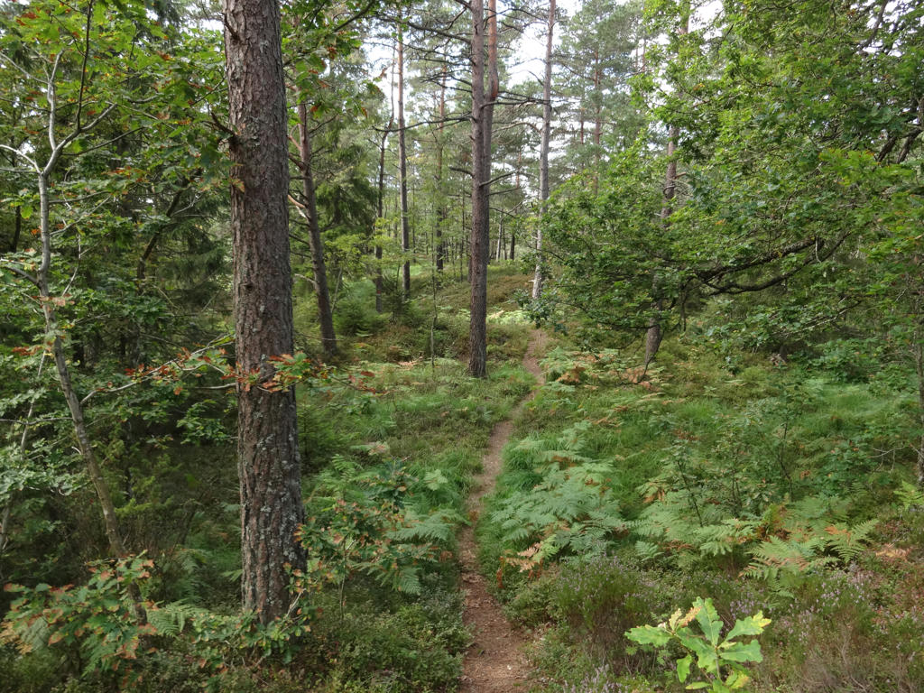
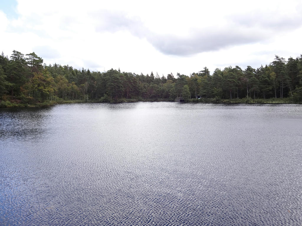
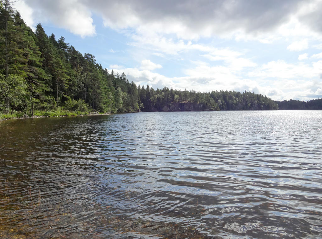
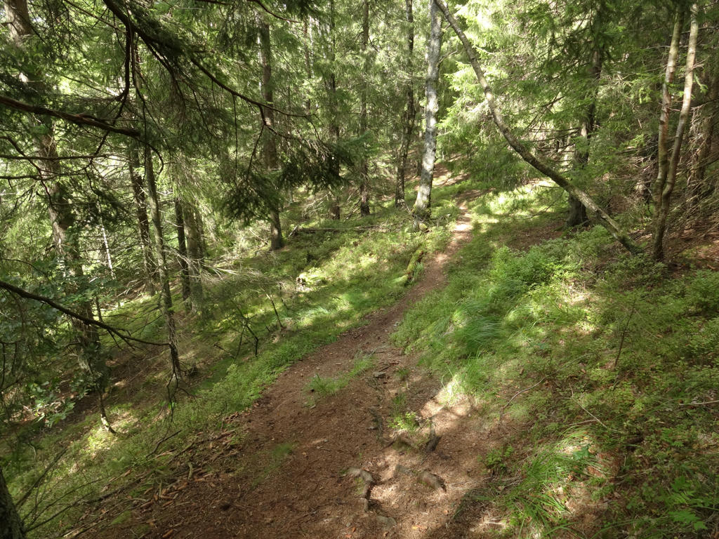
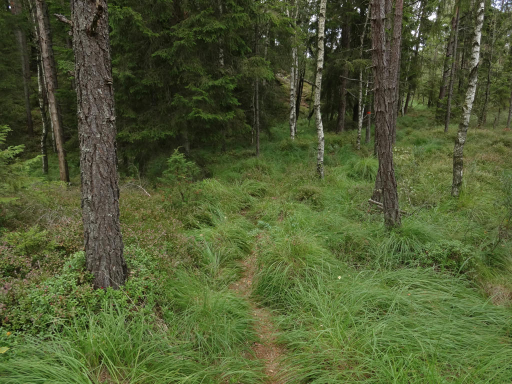
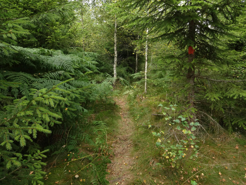
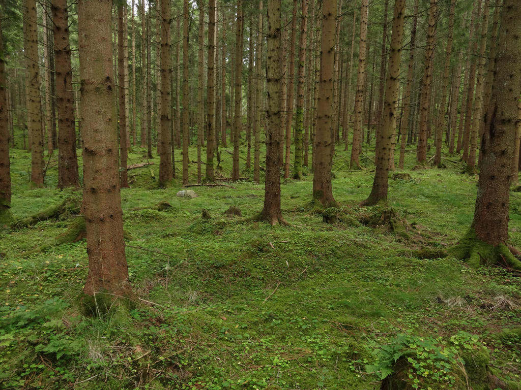
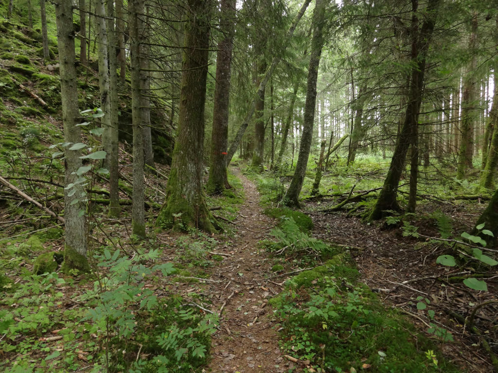
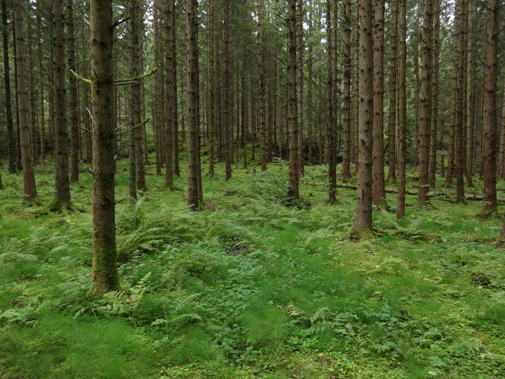
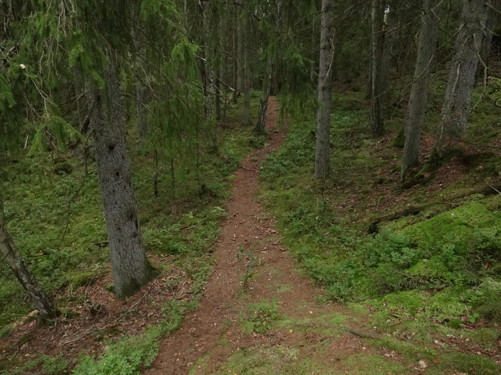
What are the main characteristics of this walk? In general the walk can be described as pretty wild and with some pretty dramatic terrains. The trail goes through several nature reserves: Herrestadsfjället, Vågsäter and Strömmarna. There are also several smaller and larger lakes near the trail, including Stora Hällesvattnet, Tvitjuvan, Västra Krokevattnet, Övre Trästickeln and Viksjön. The trail goes through a variety of forest types but the forests can generally be summarized as mostly coniferous and beautiful. The only large bog/swamp is Havskuren near Bovik. Well, I think the photos will give a much better overview of the walk's characteristics but before I present the photos there are a few other things to note.
Firstly, it was the first time in 2017 that I encountered deer flies. In 2016 I started to encounter deer flies about the same time of year (during Sjuhäradsleden Walk #2 between Brunns Kyrka and Brämhult (Borås)). As I've mentioned in previous blog posts: Deer flies can be described as flying ticks. Unlike ticks however they don't attach to your skin to suck blood, instead they want to get into your skin to lay eggs. Deer flies are highly aggressive and even though they can't fly very far, they can be a real annoyance. They appear during the end of August and until late autumn/early winter. Deer flies can make walking in the forest in the autumn quite annoying. Anyways, during this walk I had to remove maybe 5 deer flies from my clothes or skin. Speaking of fauna in the forest: I saw three squirrels during this walk, although I only managed to get proper photos of one of the squirrels. It can also be noted that the weather was decent; it was somewhat cloudy but it didn't rain (well, except for three times but it was a small amount of rain). Finally, as usual I got wet shoes, for the most part due to wet grass. I changed my socks two times.
Enjoy the photos!
1.
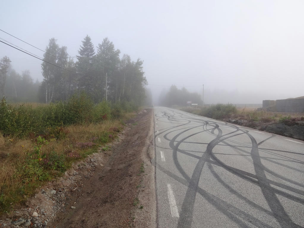
On my way to the Bohusleden trail at Bovik.
2.
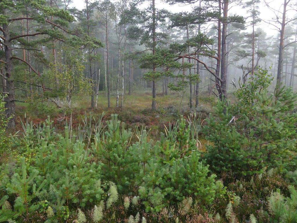
Part of the Havskuren bog/swamp.
3.
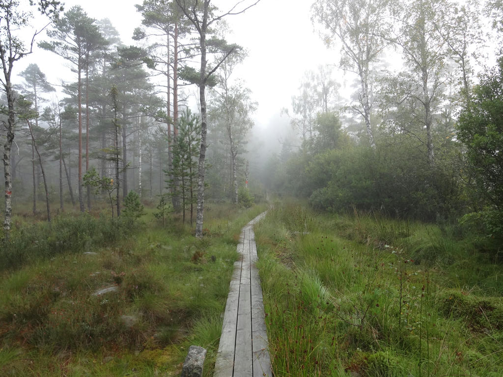
Walking through the Havskuren bog/swamp.
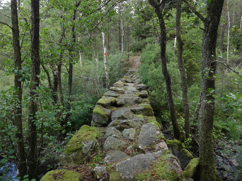
4.
5.
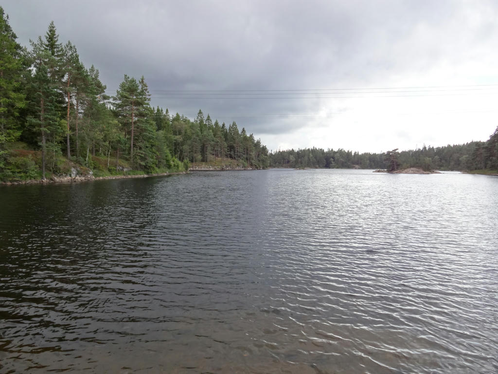
6.
Bäveån. Rotated the photo slightly and cropped it.
7.
Åleslån. Darkened the sky slightly using the levels tool. Also brightened the non-sky parts using the levels and curves tools.
8.
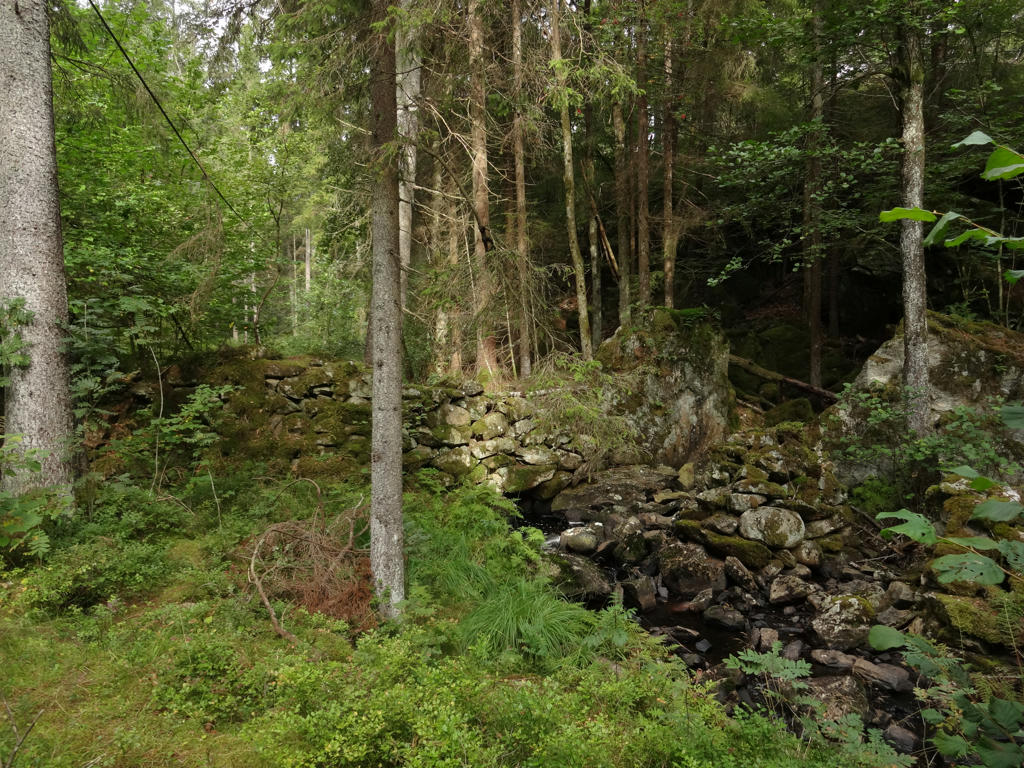
"The Small Watermill
150 years ago, perhaps even earlier, a small watermill and mill house stood here, straddling the stream, standing on large rocks. The farms and homesteads close by probably shared the use of this mill to grind their grain into flour."
150 years ago, perhaps even earlier, a small watermill and mill house stood here, straddling the stream, standing on large rocks. The farms and homesteads close by probably shared the use of this mill to grind their grain into flour."
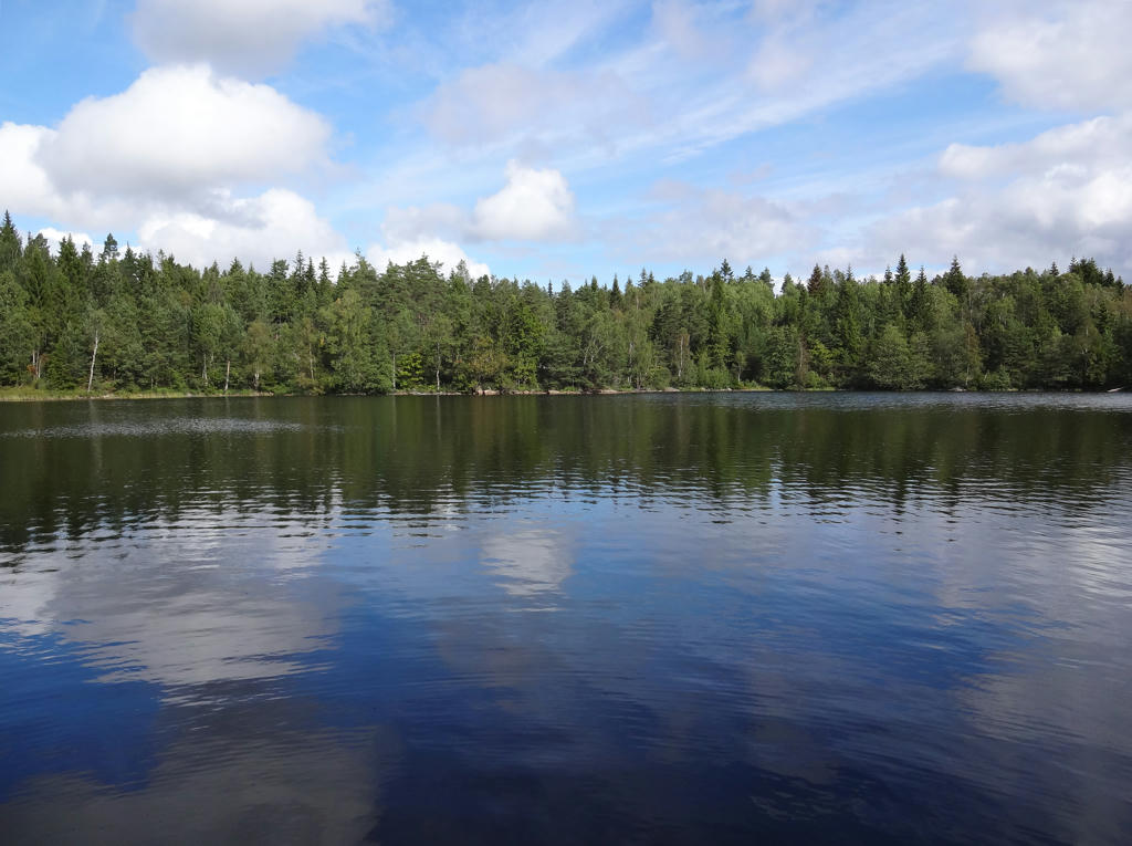
9.
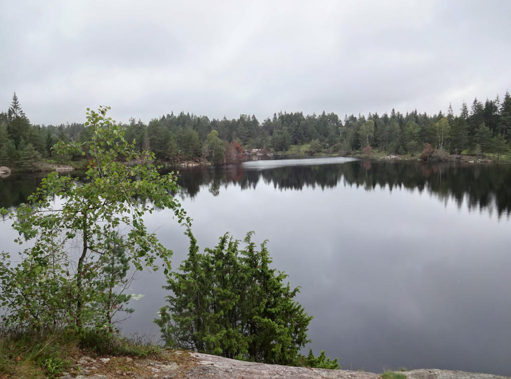
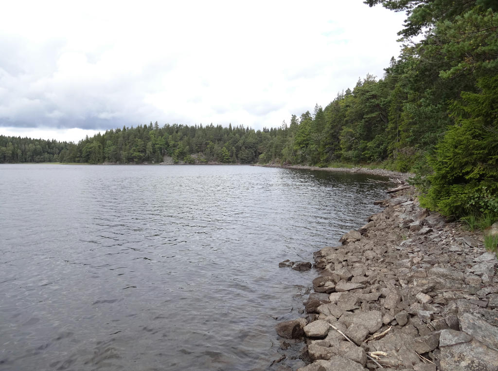
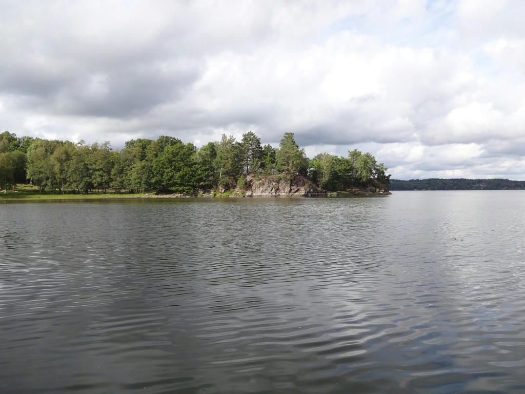
Stora Hällesvattnet. Rotated the photo slightly and cropped it. Also used the levels tool to darken the sky slightly and to increase the contrast and brightness for the non-sky parts.
10.
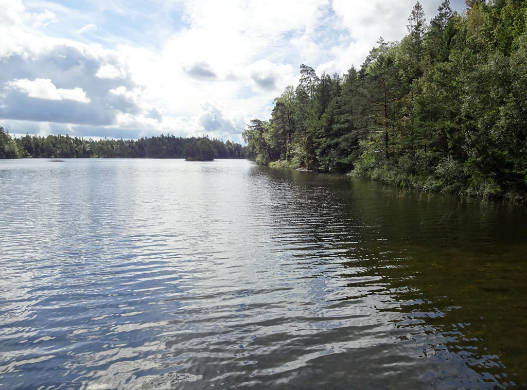
11.
Tvitjuvan. Rotated the photo slightly and cropped it. Also brightened the photo using the levels tool.
12.
13.
14.
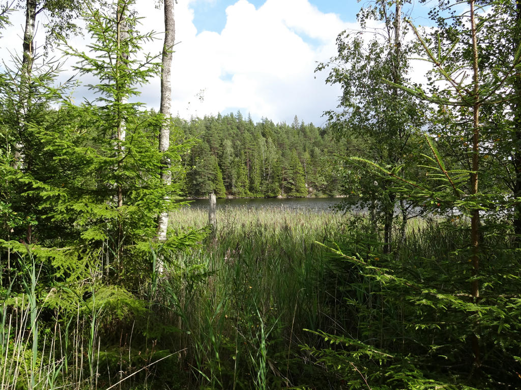
Västra Krokevattnet. Brightened the non-sky parts slightly using the curves tool.
15.
Västra Krokevattnet. Rotated the photo slightly and cropped it.
16.
Metsjö. Rotated the photo slightly and cropped it. Also sharpened the photo slightly using unsharp mask. Then I darkened the sky slightly using the levels tool. Finally I increased the contrast slightly using the brightness-contrast tool.
17.
18.
Used the hue restorer plug-in to remove the cyan-ish sky color. Also darkened the sky slightly using the levels tool. Finally I brightened the non-sky parts slightly using the levels tool and sharpened the non-sky parts slightly using unsharp mask.
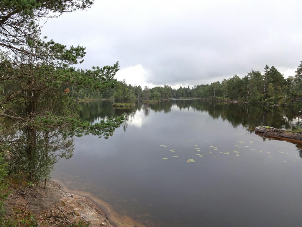
19.
Kärrevattnet. Rotated the photo slightly and cropped it. Also used the hue restorer plug-in to reduce the cyan-ish sky color. Then I darkened the sky slightly using the curves tool. Finally I increased the contrast slightly for the non-sky parts using the brightness-contrast tool.
20.
21.
Abborrasjön. Rotated the photo slightly and cropped it. Also darkened the sky slightly using the levels tool.
22.
23.
24.
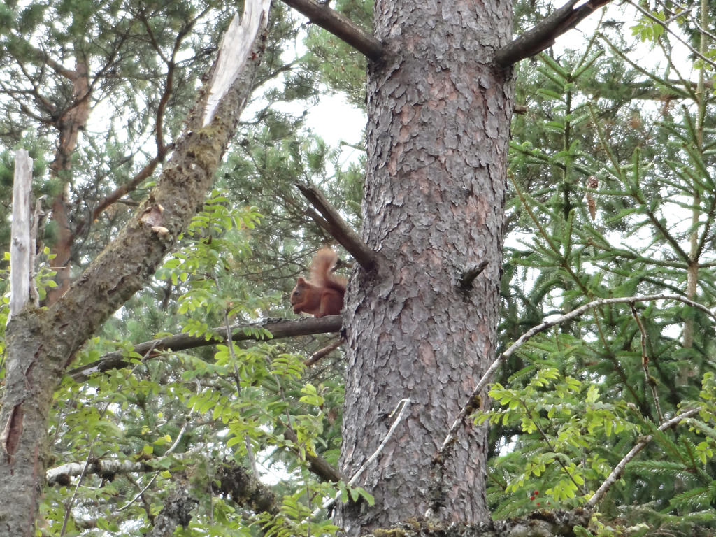
Squirrel. Despeckled the photo and sharpened it slightly using unsharp mask.
25.
Övre Trästickeln. Rotated the photo slightly and cropped it. Also darkened the sky slightly using the levels tool. Finally I sharpened the photo slightly using unsharp mask.
26.
Mjövattenssjön. Used the hue restorer plug-in to remove the cyan-ish sky color. Also used the curves tool to darken the sky slightly. Finally I used the levels tool to darken the non-sky parts slightly.
27.
28.
29.
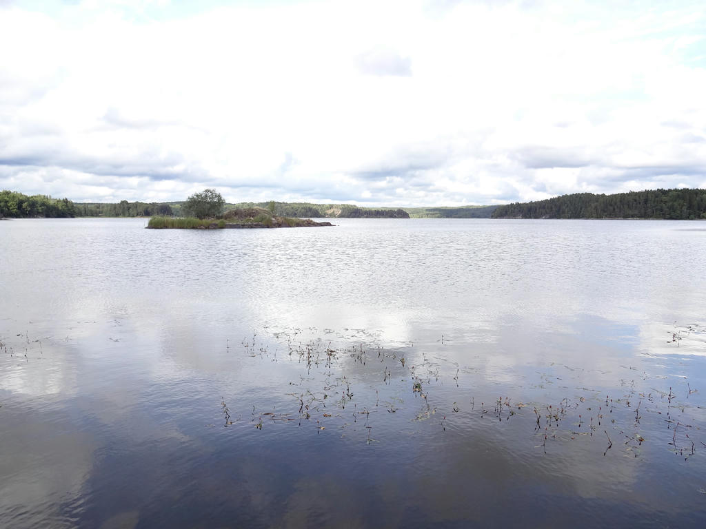
Viksjön and view of a part of the Vågsäter nature reserve.
30.
Viksjön. Used the levels tool to darken the sky slightly and to slightly increase the contrast for the non-sky parts. Also sharpened the non-sky parts slightly using unsharp mask.
31.
32.
33.
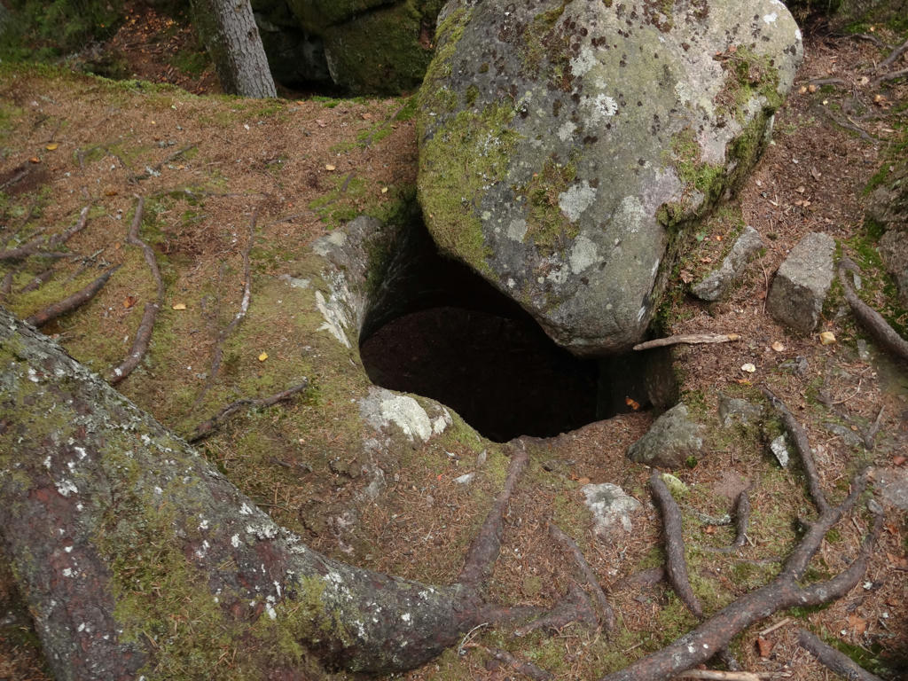
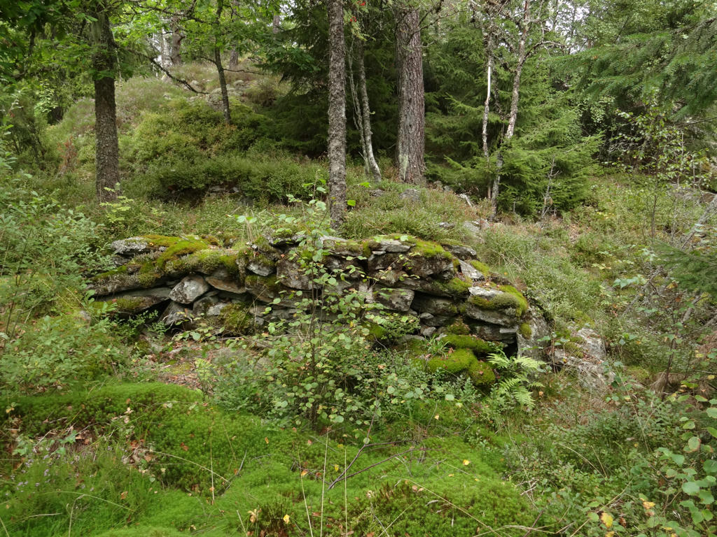
Fingal's Cave. This is not only a small cave but also a giant's kettle.
34.
35.
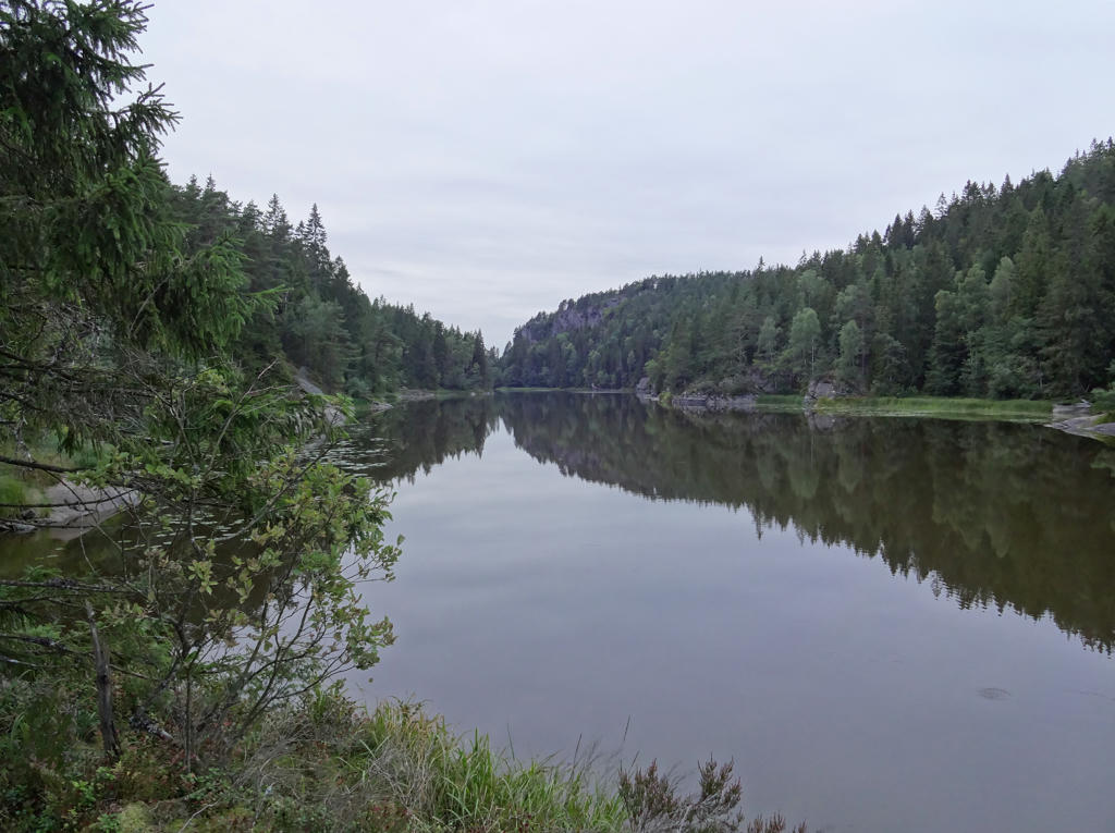
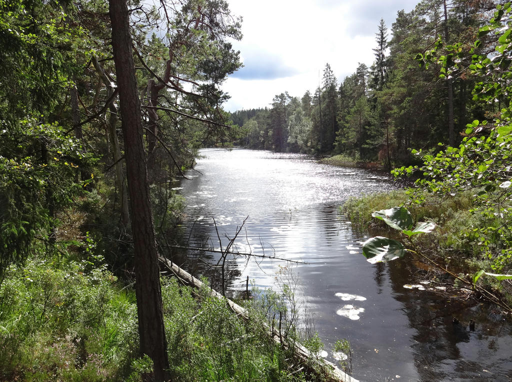
Munkedalsälven. Rotated the photo slightly and cropped it. I also increased the contrast slightly using the brightness-contrast tool.
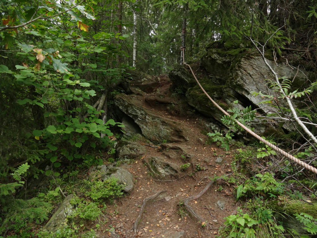
36.
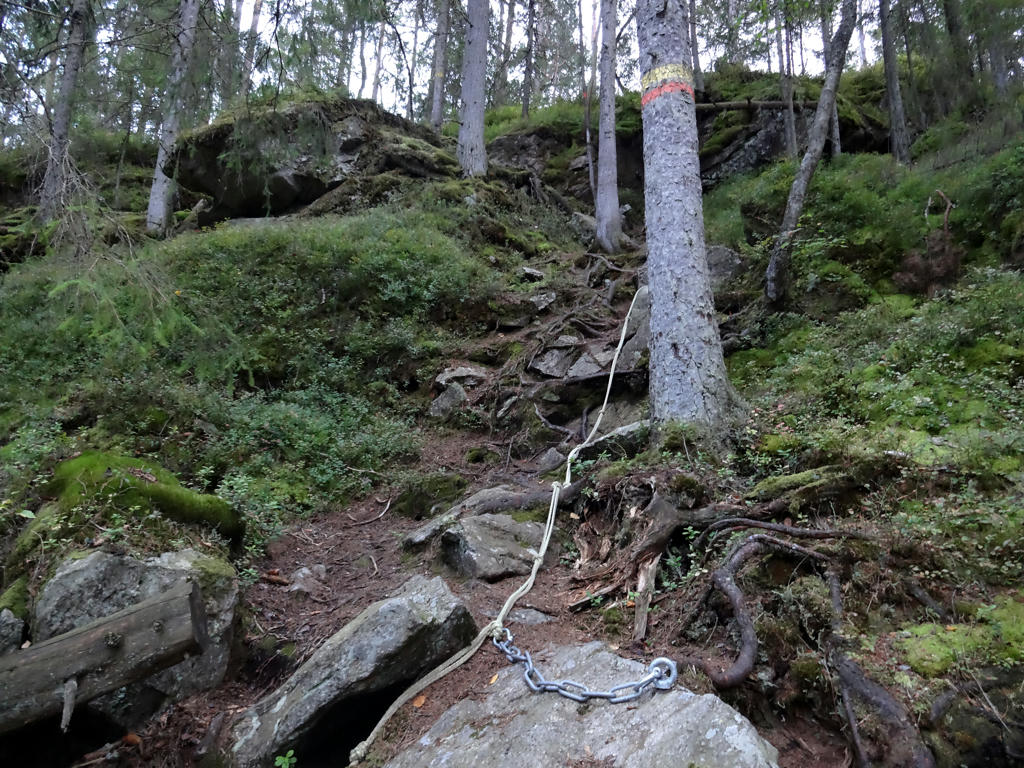
Steep ascent. Increased the contrast slightly using the brightness-contrast tool. I also sharpened the photo slightly using unsharp mask.
37.
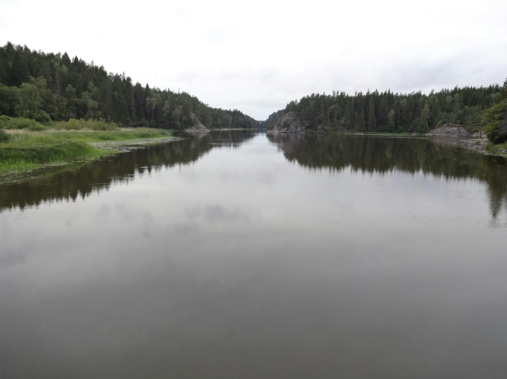
Munkedalsälven. Rotated the photo slightly and cropped it. Also sharpened the photo slightly using unsharp mask.
38.
39.
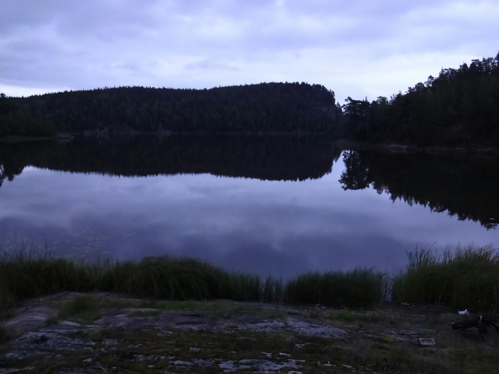
Vassbotten. I think it was darker than this but I think I used some camera setting (maybe flash) to make the photo brighter.
40.
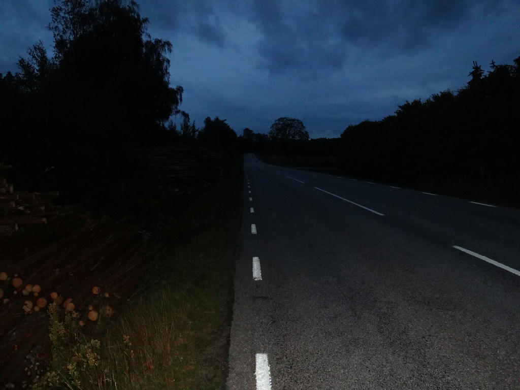
On my way to Munkedal. Used flash for this photo.
Inga kommentarer:
Skicka en kommentar