Why did I take such a long break? There are several reasons for this but the main reason is that the car I use broke down and needed to be repaired. However, it was not worth to repair the car because it also had a rust issue. Instead, the car got scrapped around three weeks ago. Thus the only remaining option was to borrow my mother's car but I didn't get permission to use her car to drive the types of distances I need to go (250km or more in one direction). Another option would be to use public transport (trains, buses etc.) but the problem with that is that travelling long distances with public transport often takes more time than travelling by car (sometimes several hours more). Furthermore, there is a lot more flexibility when travelling by car. When using public transport you have to make sure you don't miss the last train or bus home. A good example is that the last train from Örebro to Göteborg on weekdays leaves at 19:25. If you miss that one there's no way of getting back to Göteborg the same day using public transport and you probably won't have much luck hitchhiking so the only remaining option is to find a hostel and stay for the night (although theoretically there are some exceptions: on some days there is a bus to Karlstad and a train from there and in some cases there is a night train (but it is expensive since it requires changing the train four times or something similar)). On the other hand if you would park in Örebro you just have to make sure you don't miss the last bus from the place where the walk ends back to Örebro and you can drive home even if you return to Örebro for instance at 21:00. Another issue is that at some point the public transport option becomes significantly more expensive compared to driving by car (for instance if you need to change the train several times).
Either way, because of the limitation of not having a car easily available it's very possible that the walk I write about in this blog post will be the last one in 2018. However if I would be able to borrow my mother's car for longer distances I would possibly be able to go on three more walks this year: on Saturday October 6th, on Saturday October 13th and on Saturday October 20th. In that case I would probably continue Östgötaleden (continuing Bergslagsleden requires longer days). I won't have time to go on walks on weekdays any more and Sunday is generally out of the question. I will summarize the 2018 walks and give some future plans in a later blog post but needless to say 2018 didn't turn out as expected when it came to the walks. Hopefully 2019 will be more interesting in that regard. Anyway, I will now write about the specifics of Bergslagsleden Walk #6 between Ånnaboda and Mogetorp.
As I've mentioned above my mother didn't let me borrow her car to go far distances but she did lend me her car in this specific case because I only went to Alingsås (around 37km from home) and parked my car there. Then I took the 05:30 train in the direction of Stockholm. That train doesn't stop in Örebro so I had to get off the train in Hallsberg and then take a local train to Örebro. Once I arrived in Örebro at 07:48 I waited for almost 50 minutes for bus 523 to Ånnaboda. I arrived in Ånnaboda at 09:10 and started my walk there. As you may already know, I've previously walked between Ånnaboda and Leken. That time I went in the south direction from Ånnaboda. This time I continued north from Ånnaboda.
The walk consists of Bergslagsleden stage 9 between Ånnaboda and Blankhult (10km) and Bergslagsleden stage 8 between Blankhult and Mogetorp (14km). Normally the walk would have been 24km in total but I also went to check out Rusakulan (0.3km*2=0.6km) which is considered to be the best gazebo in Kilsbergen (which is a somewhat mountainous region that the walk goes through). The walk was thus in total 24.6km. The total duration for the walk was 8h30mins. At first I walked slower but later (during the last 8km) I realized that I probably need to walk faster to make it on time for the 18:31 bus from Mogetorp (well, I ended up waiting 51 minutes for the bus so clearly I didn't need to walk as fast as I did but on the other hand the last 8km weren't too interesting anyway). My overall average speed for the walk was thus 2.89km/h.
I took the bus back to Örebro at 18:31 and arrived in Örebro shortly before 19:00. From Örebro I took the 19:25 train and arrived in Alingsås at around 21:36. I started driving around 21:41 and came back home around 22:21.
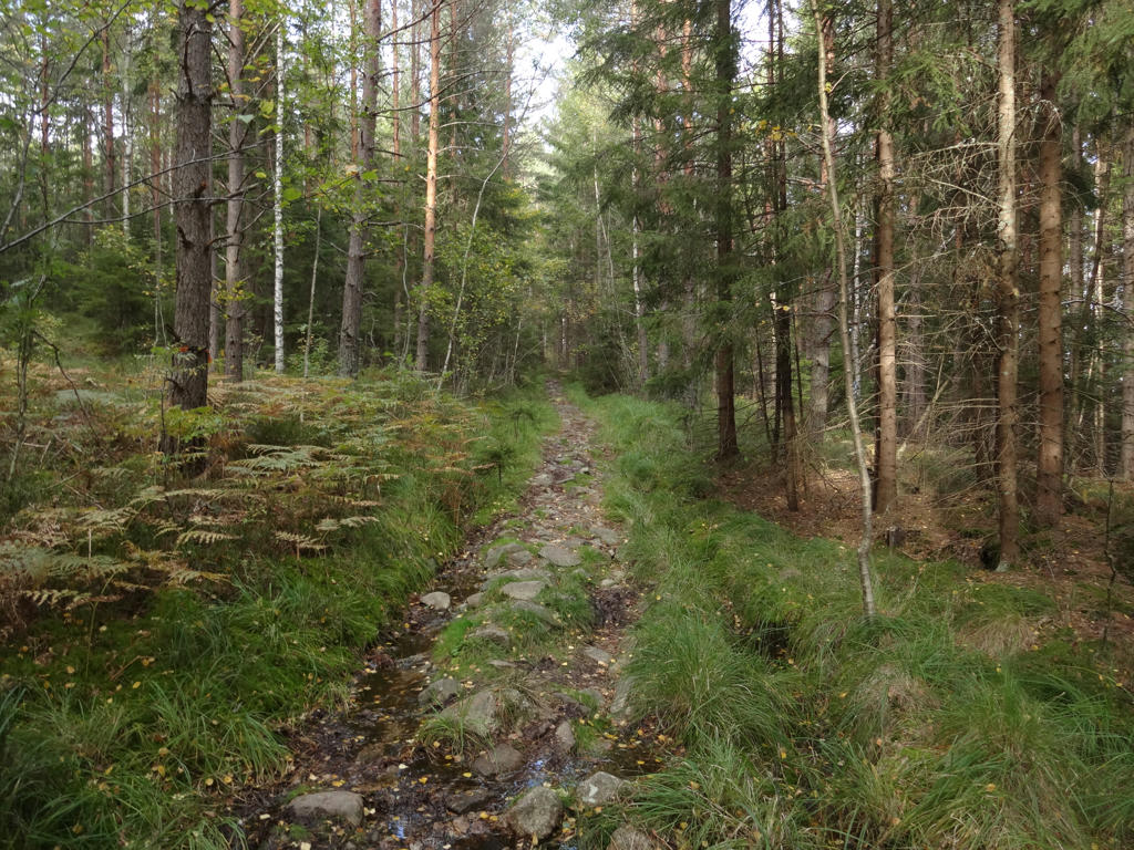
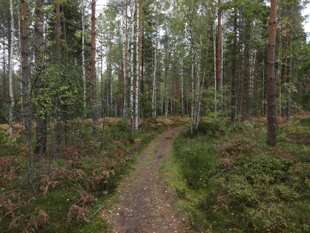
So, how did I enjoy the walk? I enjoyed it quite much. Sure, it was a bit cold (a couple of degrees in the morning and maybe up to 15 degrees during the day) but that's no hindrance (in fact sometimes a cold weather can make walks more enjoyable). Sure, it was a bit cloudy the last 2 hours or so. And sure, there were deer flies (I've got attacked by 7 deer flies in total in 6 different places). But these are not things I can really complain about. The walk has plenty of interesting parts and goes through very nice terrains. One of the most interesting parts of the walk is Norra Trolldalen "The North Troll Valley" which is a quite deep valley going through a dark old forest. Another interesting part is the Rusakulan gazebo which gives a great view of Örebro and Närkeslätten ("The Närke Plains"). Other than that there were also several small lakes on the path and also several cultural remnants (including croft ruins and Tomasboda). The photos are presented below. Enjoy!
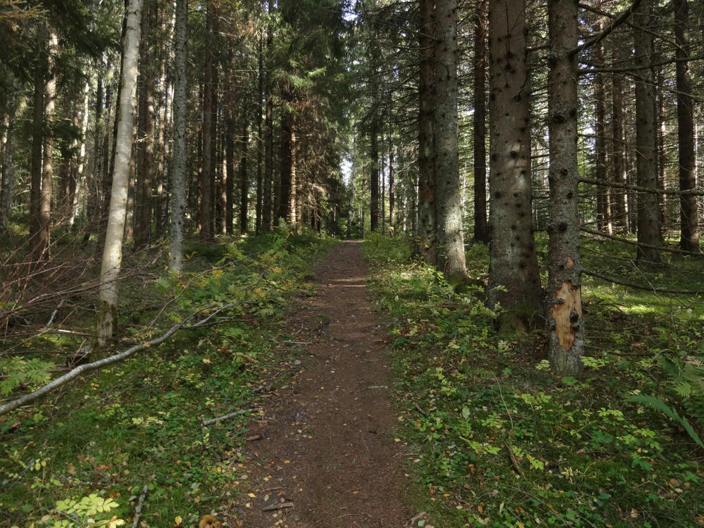
1.
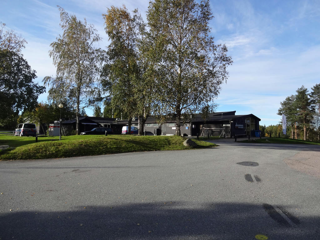
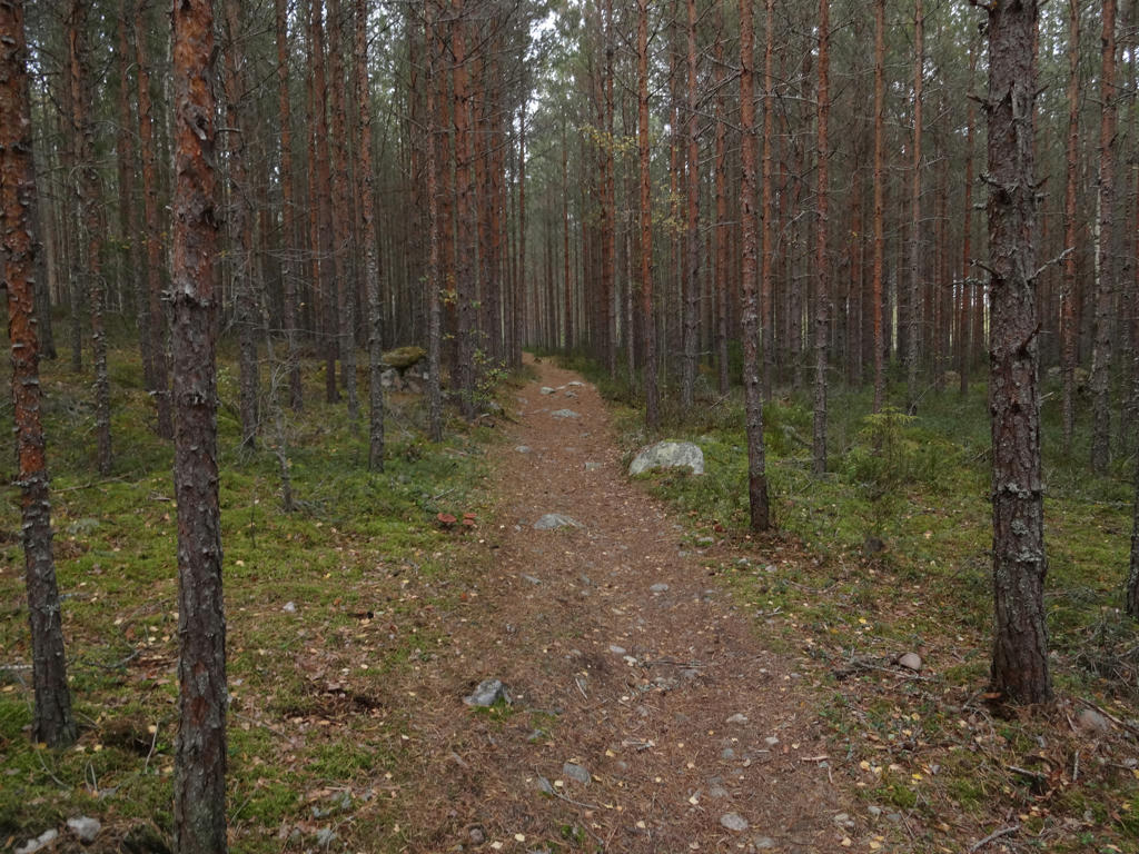
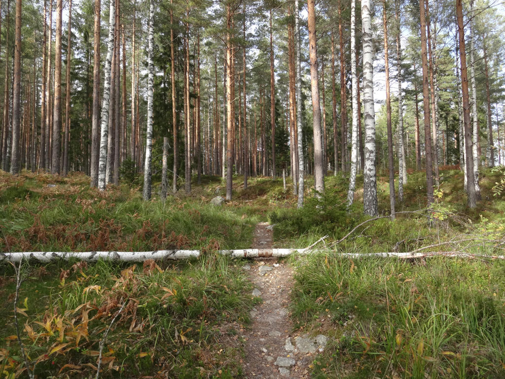
Ånnaboda
2.
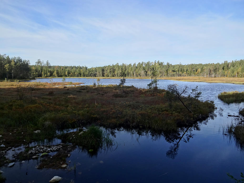
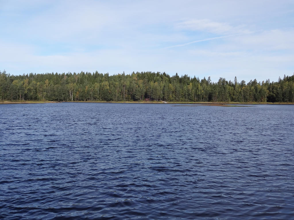
Östra Ånnabosjön. Used the levels tool to increase the brightness and contrast slightly for the non-sky parts. Also sharpened the photo slightly using unsharp mask.
3.
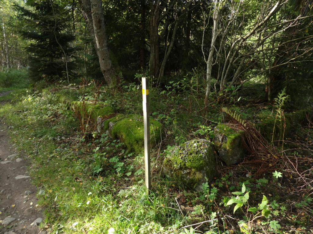
Lövåsen croft ruins
4.
Göljan. Rotated the photo slightly and cropped it. Also used the curves tool to brighten the photo in and then brighten the sky and the non-sky parts separately.
5.
Increased the contrast slightly using the brightness-contrast tool.
6.
View from the Lövnäsberget gazebo. The lake Tysslingen can be seen in the background.
7.
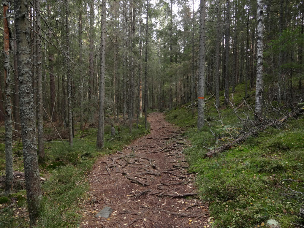
Near Trolldalen.
8.
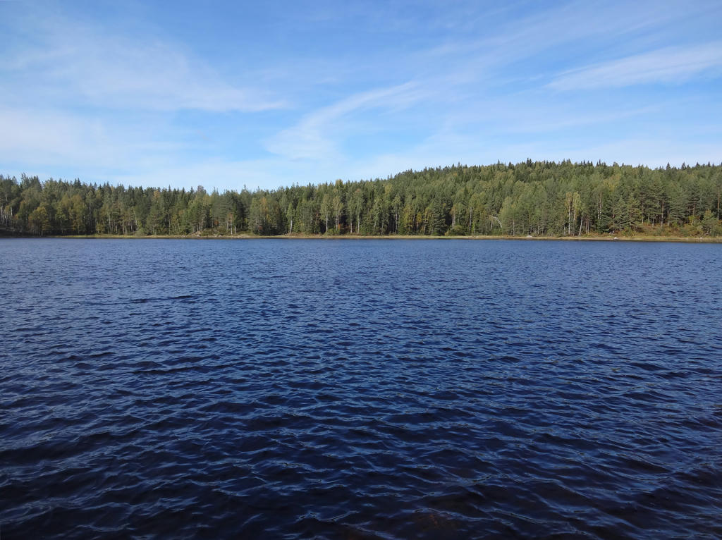
Stora Dammsjön. Rotated the photo slightly and cropped it.
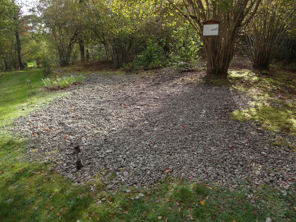
9.
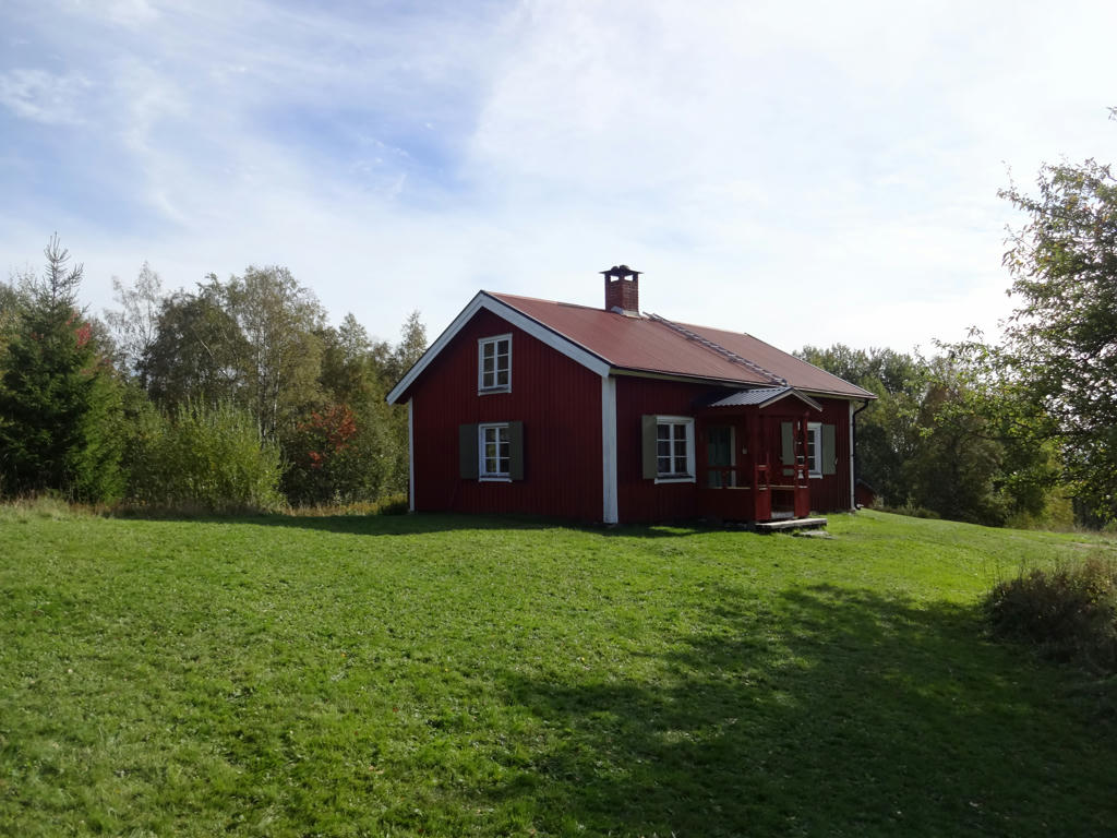
There used to be three crofts in this part of Kilsbergen (between Stora Dammsjön and Blankhult) but only Tomasboda remains. Tomasboda has been disposed by the association Kilsbergsstugan since the 1920s.
Brightened the non-sky parts slightly using the curves tool.
Brightened the non-sky parts slightly using the curves tool.
10.
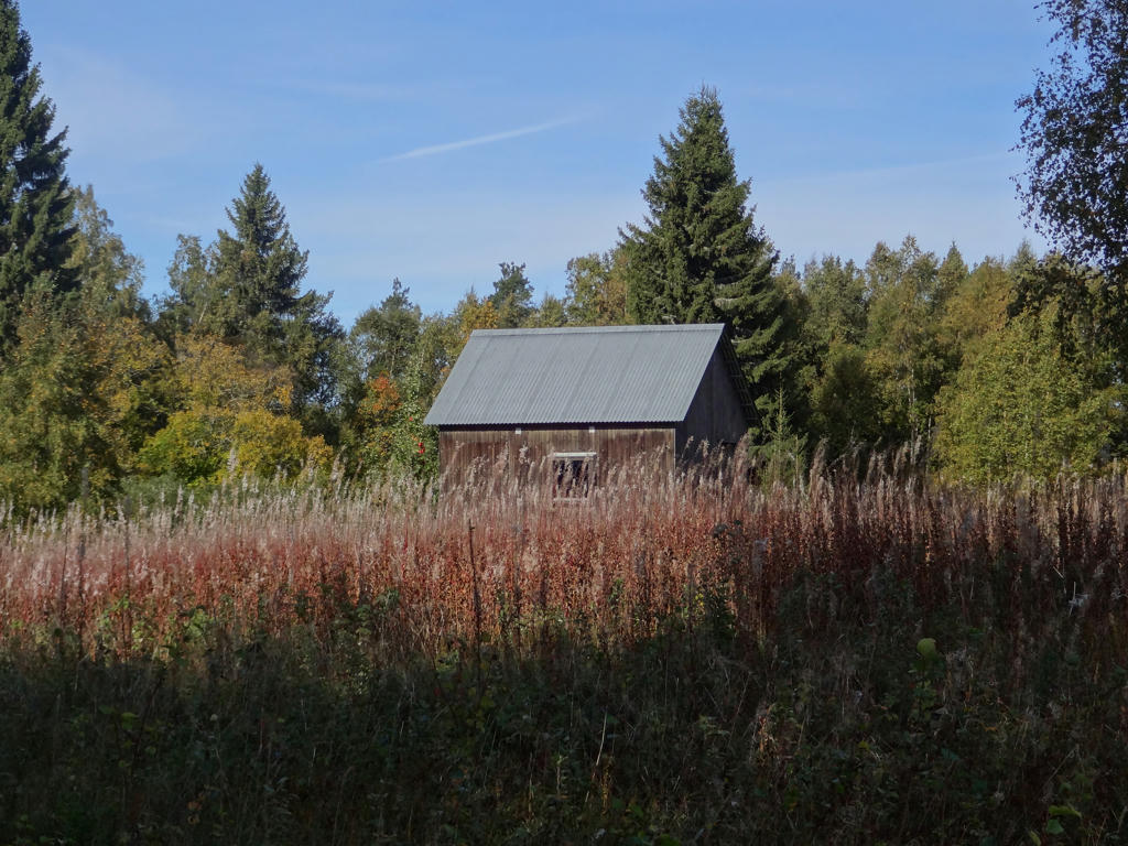
Building belonging to the Tomasboda croft.
11.
12.
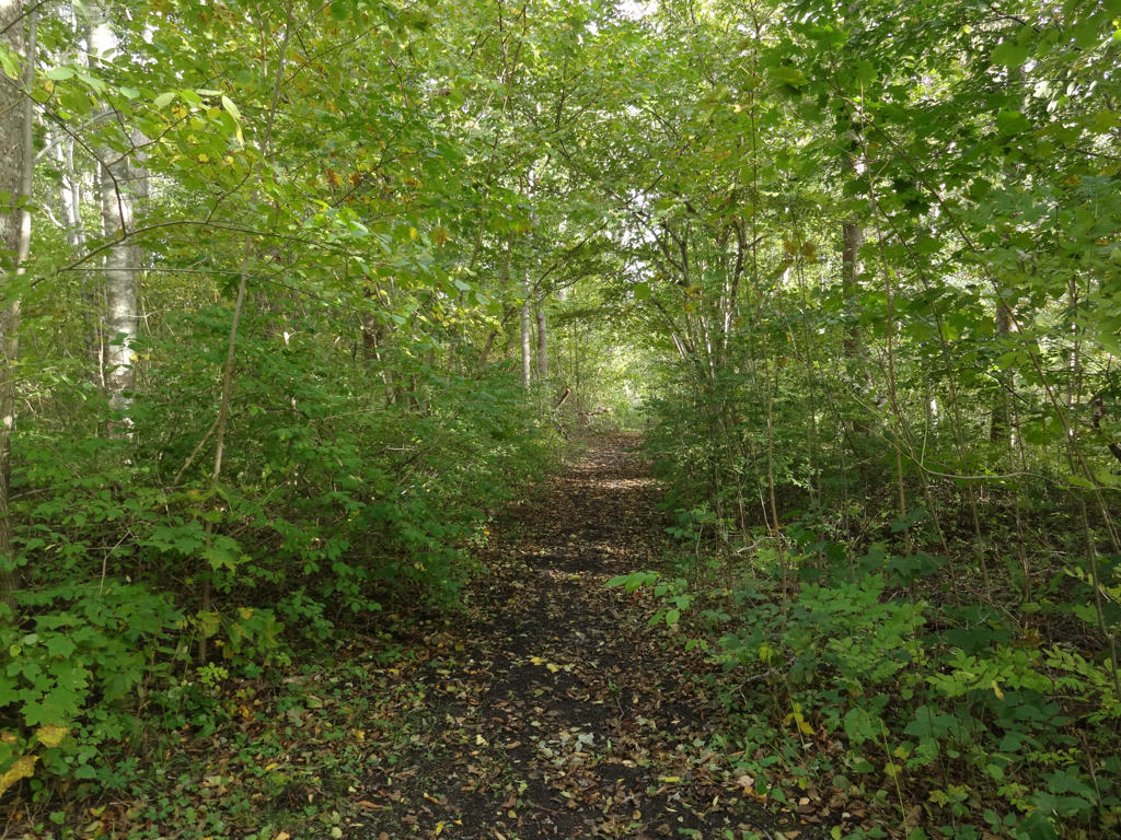
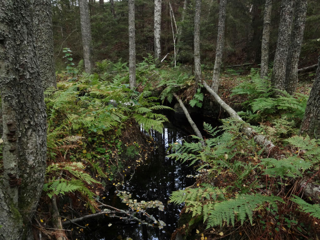
13.
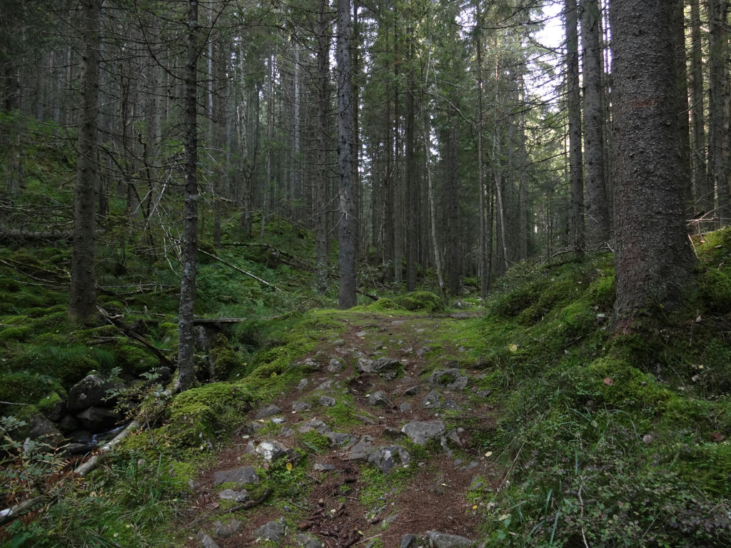
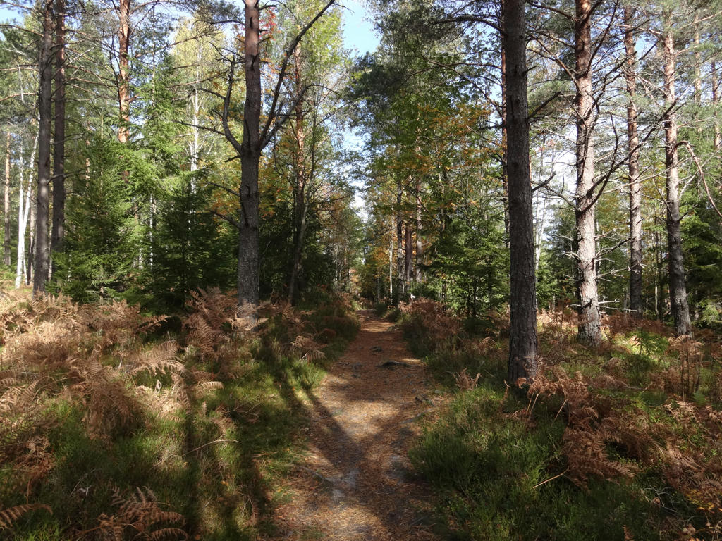
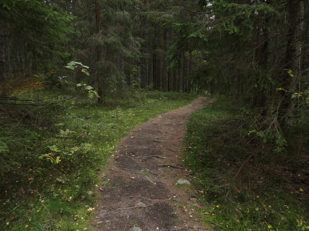
Norra Trolldalen ("The Northern Troll Valley"). This was one of my favorite parts of the walk.
14.
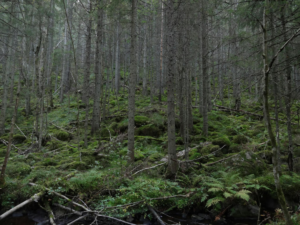
Norra Trolldalen
15.
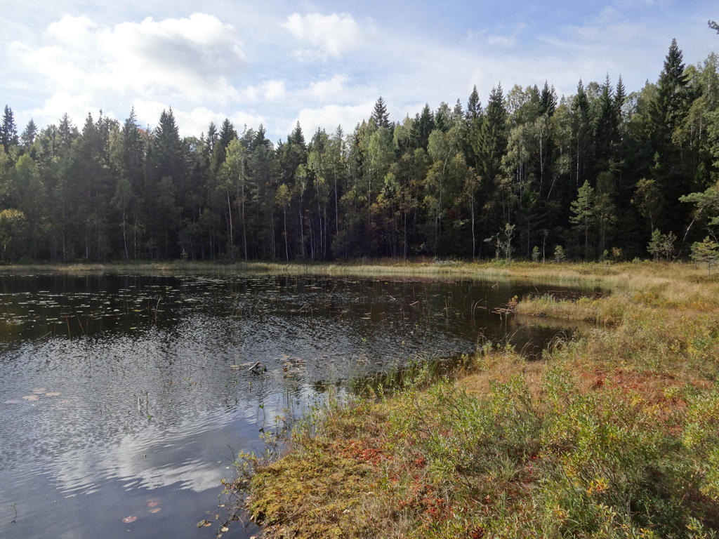
Stora Klockarhyttesjön
16.
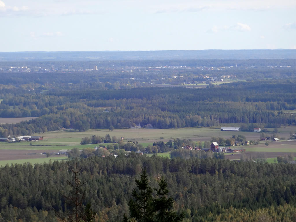
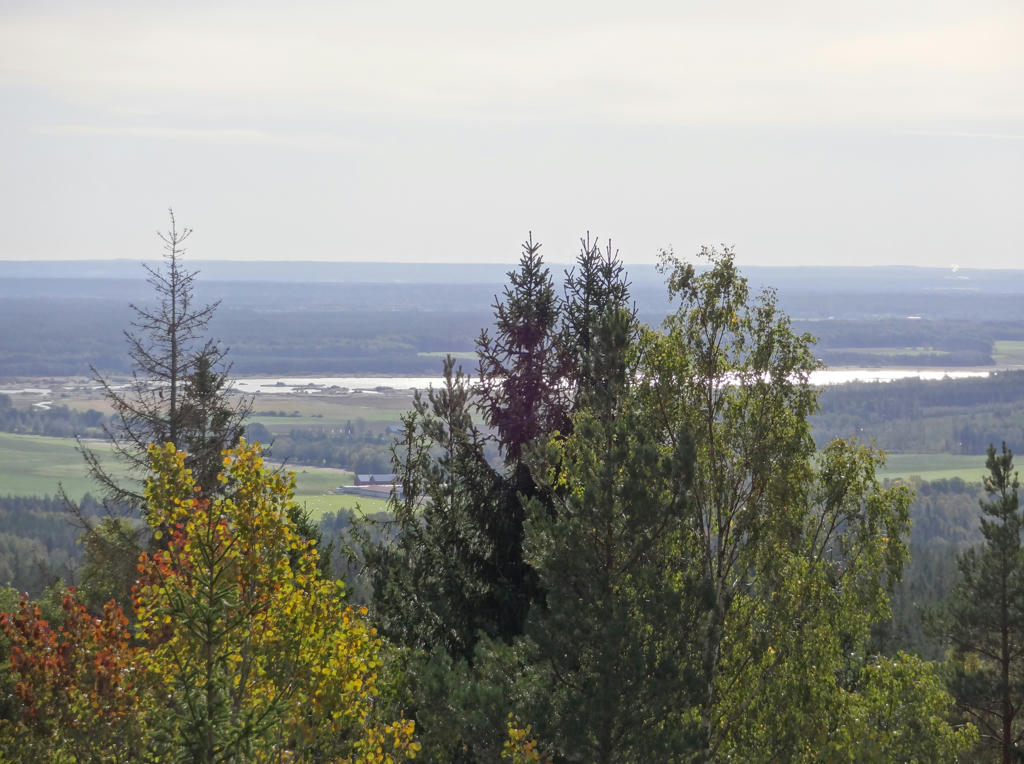
View from the Rusakulan gazebo (the best gazebo in Kilsbergen). Used the levels tool to increase the brightness and contrast for the photo. Also sharpened the photo slightly using unsharp mask.
17.
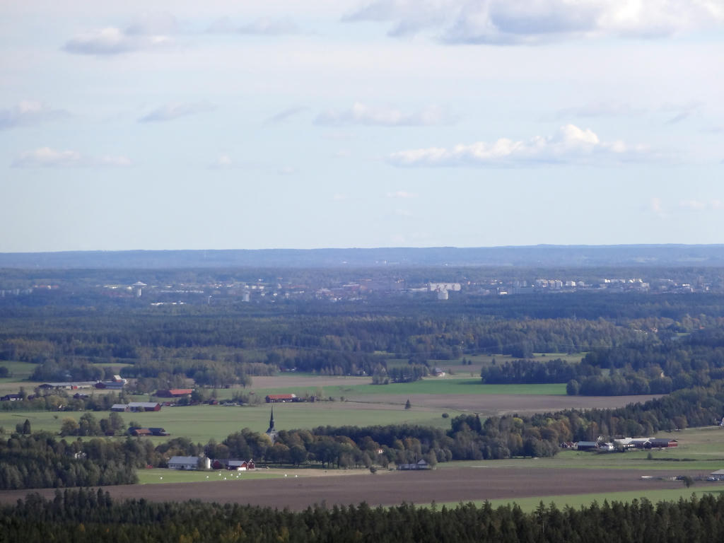
View of Örebro from Rusakulan. Used the levels tool to increase the brightness and contrast slightly.
18.
19.
"Yoldia sea banks
The inland ice melted in this part of Närke approximately 10000 years ago. Because the kilometre thick ice had depressed, the sea covered large parts of this area. This stage in the history of the Baltic is called the 'Yoldia Sea'. The sea covered all of Mälardalen, Hjälmarsänkan and Närkeslätten and reached the edge of Kilsbergen where it had its shore. When the ice disappeared, the compressed earth rose up like a cork that had been forced down under the water, firstly at the rate of 10 m per 100 years. Närke is still rising today but now at the more modest rate of 4 mm per year. Land elevation resulted in the shore being moved further down the edge of Kilsbergen.
The eight terraces which can clearly be seen on the slope between the wind break and the road show how the Yoldia sea's shore has sunk during a period of approximately eight hundred years. The edge of the shore was whipped by strong winds. Sand and shingle were washed away by the waves to the lower parts of Närke. Larger stones which formed these banks and shingle fields remained. In Lövbrickan's nature reserve some kilometres away, there are further examples of beautiful shingle fields.
The windbreak is at a height of 165 metres above the sea. Here lies the high coastline which is the limit above which the ground was not covered by water after the Ice Age. If we had been standing here 10000 years ago, we would have had a clear view over a sea the opposite shore of which was situated well into Russia."
20.
21.
22.
23.
24.
Rangelbäcken. Brightened the photo slightly using the curves tool.
25.