1.
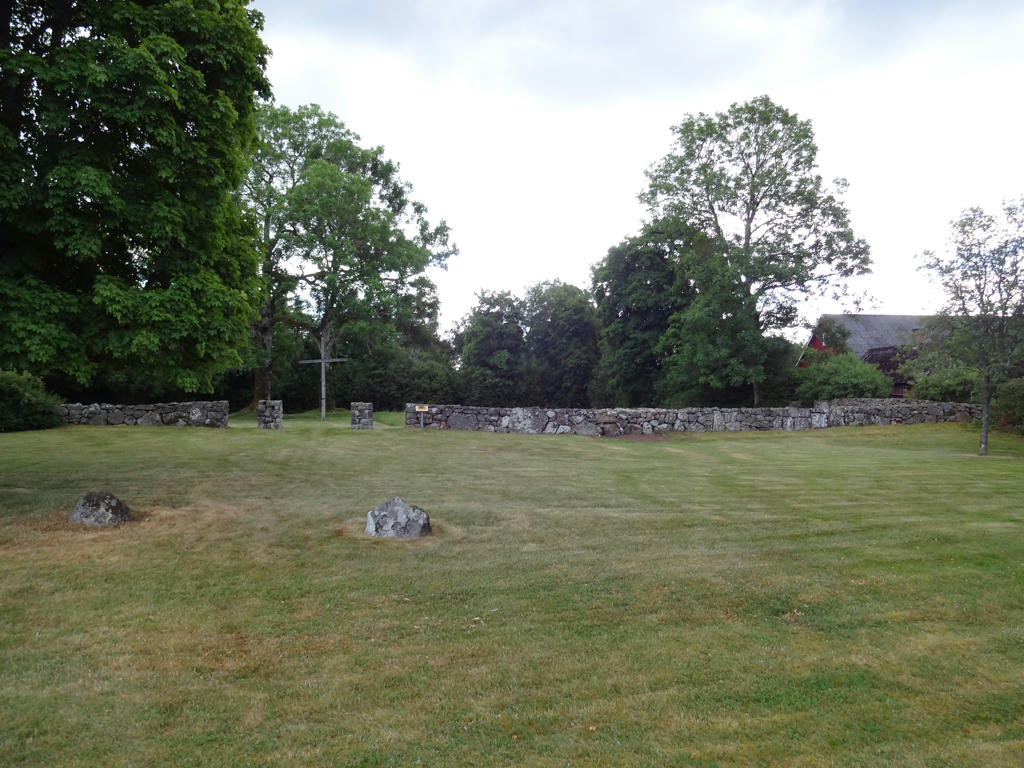
Knäred Church ruin. The old church from the 1200s used to be located 300m from where the current church is today. The only remaining part of the old church is the foundation wall shown in the photo. It was excavated during the summer of 1930. At this place there are also three memorials of buried priests: parson Montan (dead 1785), vicar Lidbeck (dead 1817) and vicar Larsson (dead 1828). Increased saturation for the grass to make it look a bit greener (it seemed to look too bleak).
2.
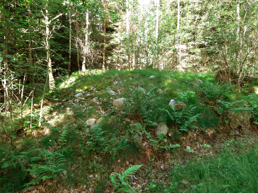
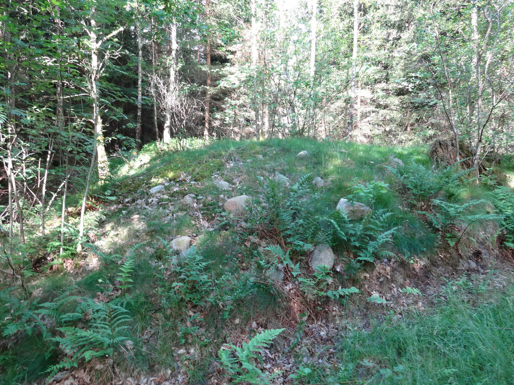
"Death Cairn. This is where the old road between Knäred and Mästocka ran. In the middle of the 19th century it is said that a pregnant woman was killed here by a pack of wolves when she was on her way home from the church. In her honor passers-by threw stones on to the spot and after many years this large stone cairn was formed." The photo had a severe blue cast (too much blue color). So what I did was to use the Curves tool in GIMP to reduce the effect of the blue channel but it ended up looking too green so I also decreased the green channel. Further I made it slightly darker and increased the contrast slightly. It certainly looks much better (here's the initial photo for comparison) but more work might be required.
3.
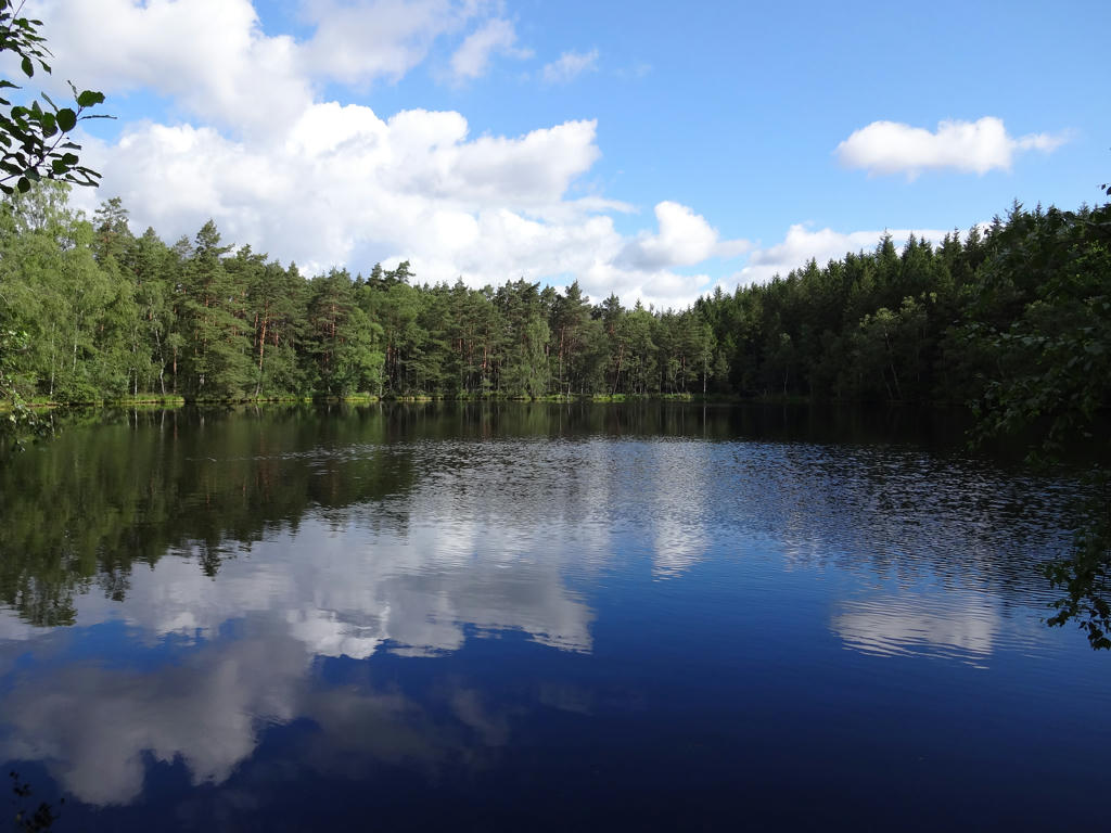
Abborasjön
4.
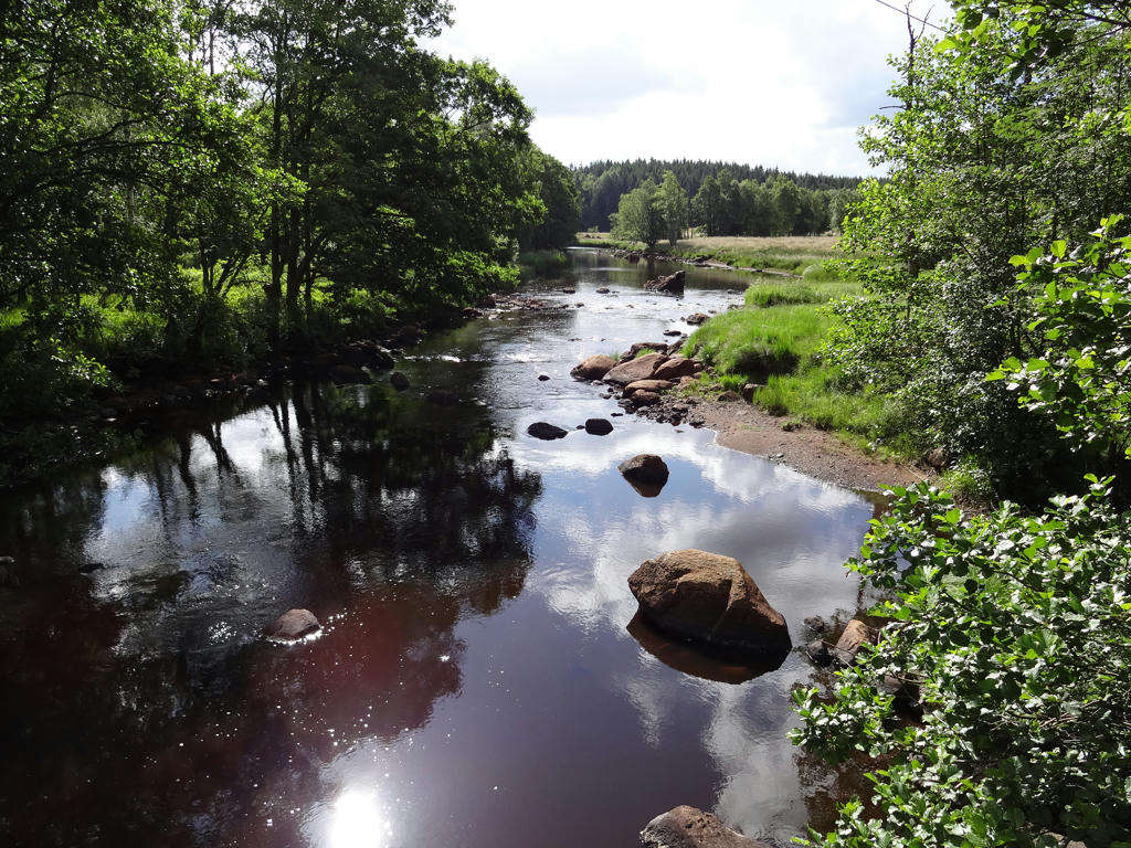
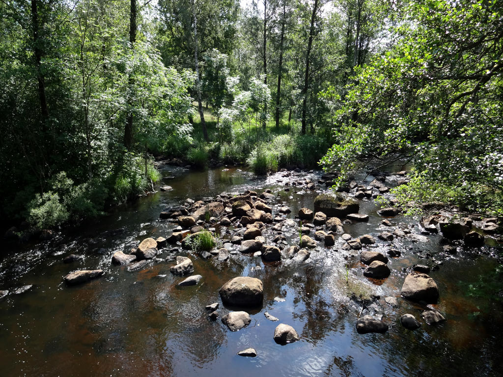
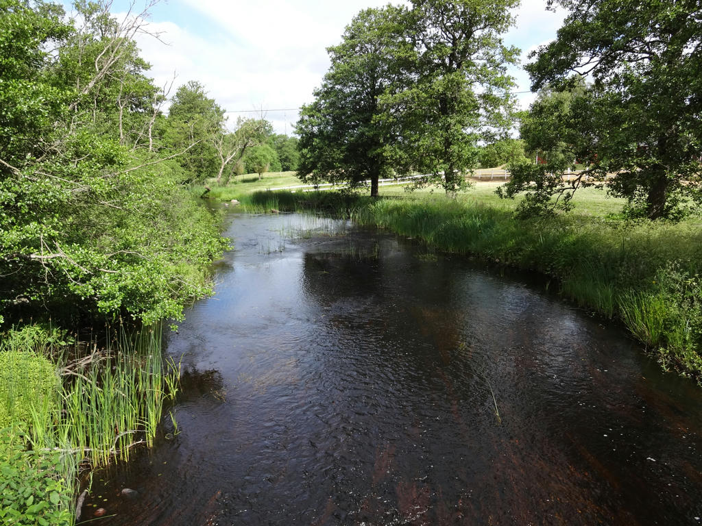
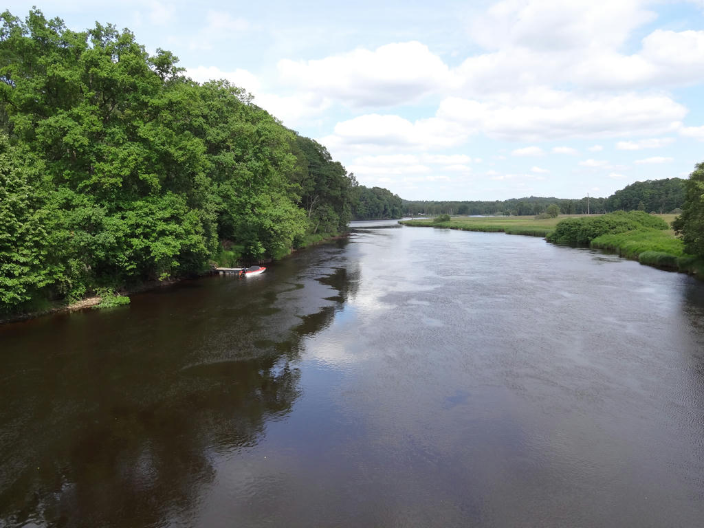
Krokån. This river has brown colored water, which is the exception rather than the norm for rivers in Sweden.
5.
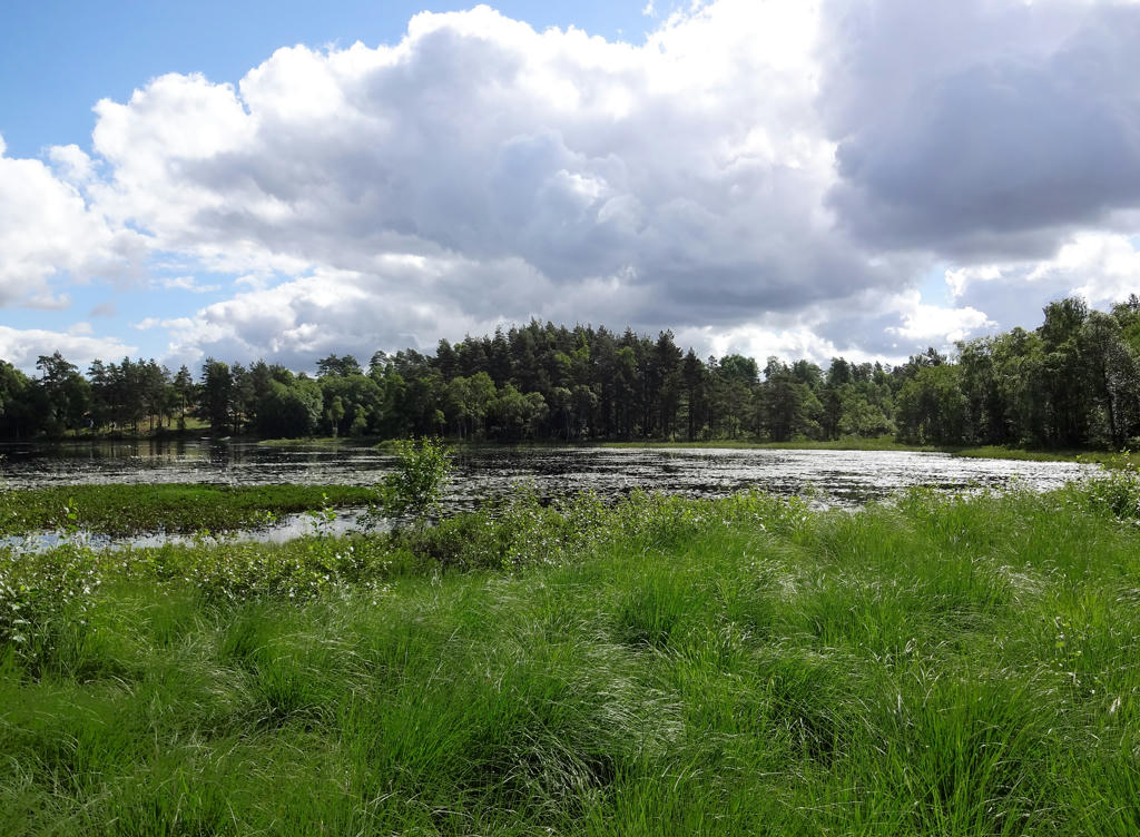
Västersjöarna. Rotated and cropped the photo and then I increased the brightness for the dark parts using the Curves tool in GIMP. I also increased the contrast slightly.
6.
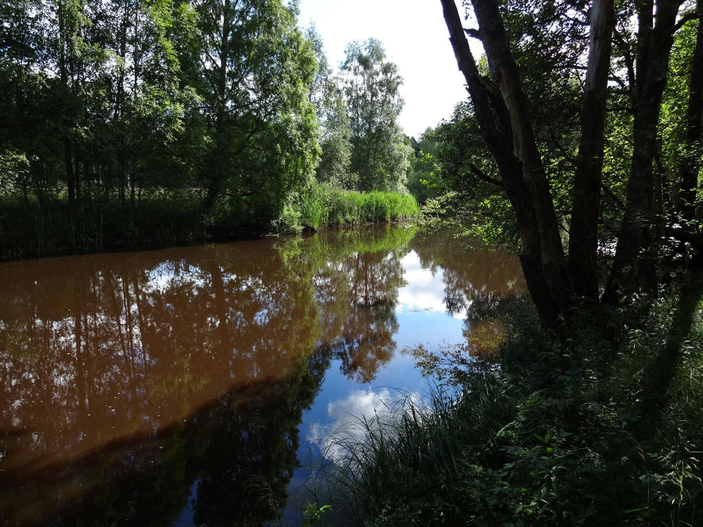
Krokån. Here the brown character of the water can be seen more clearly.
7.
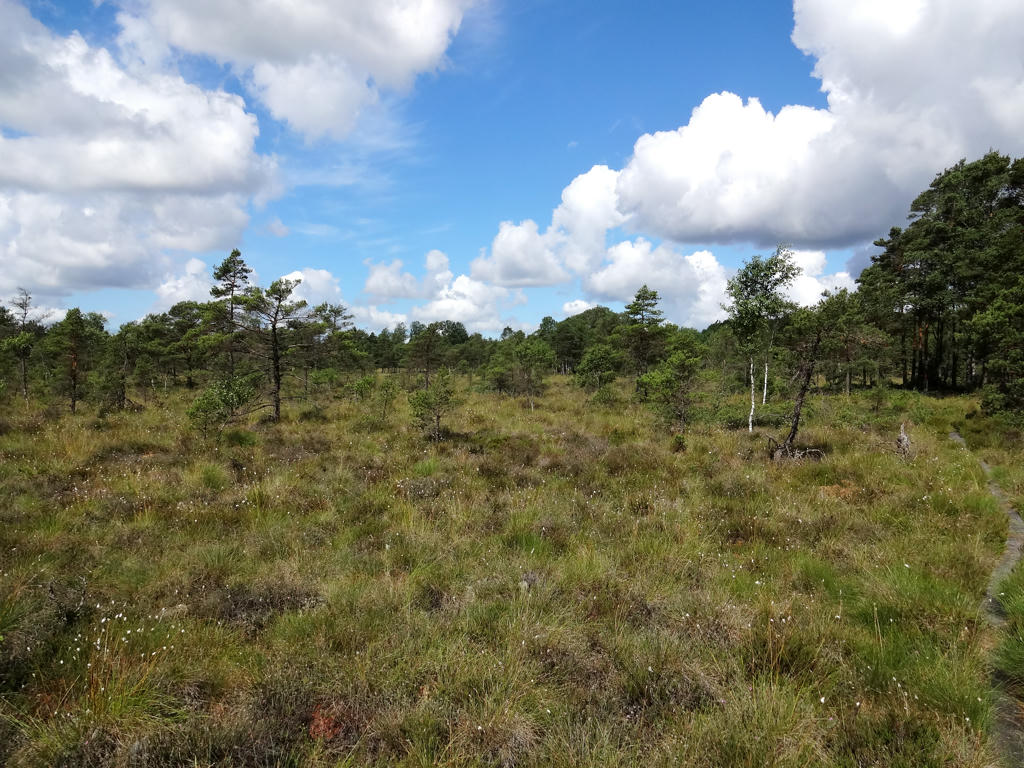
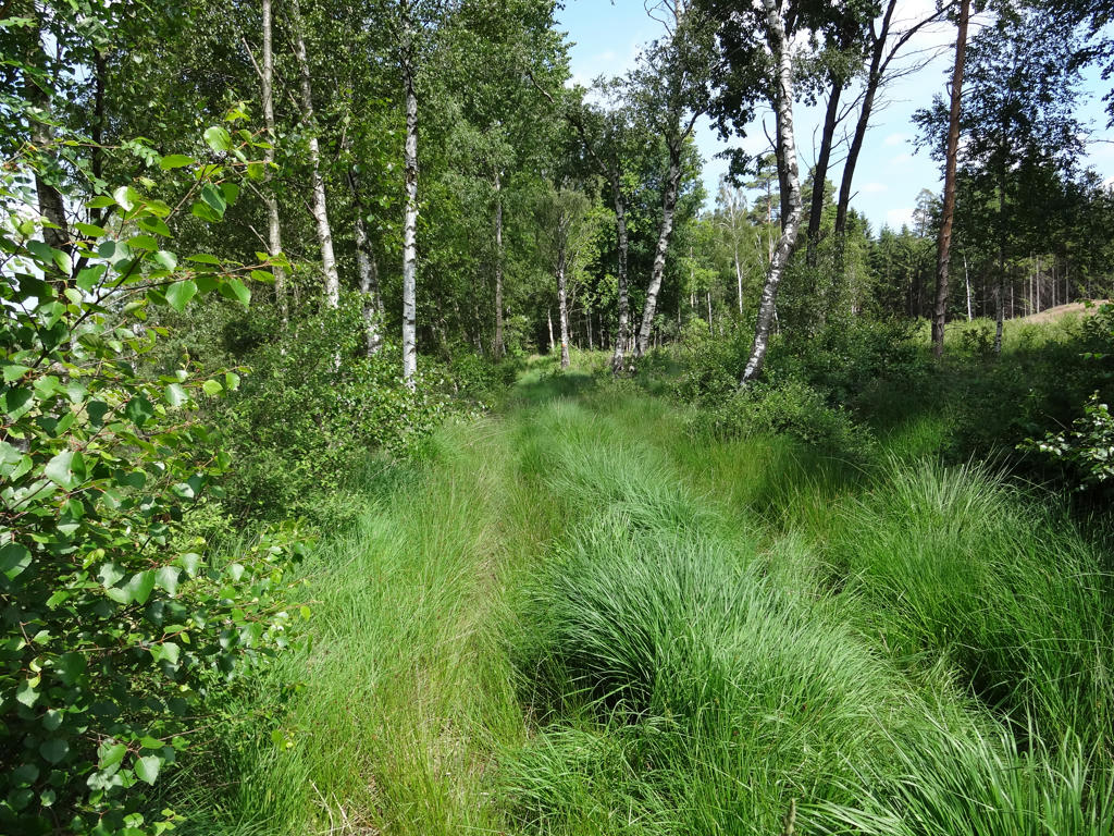
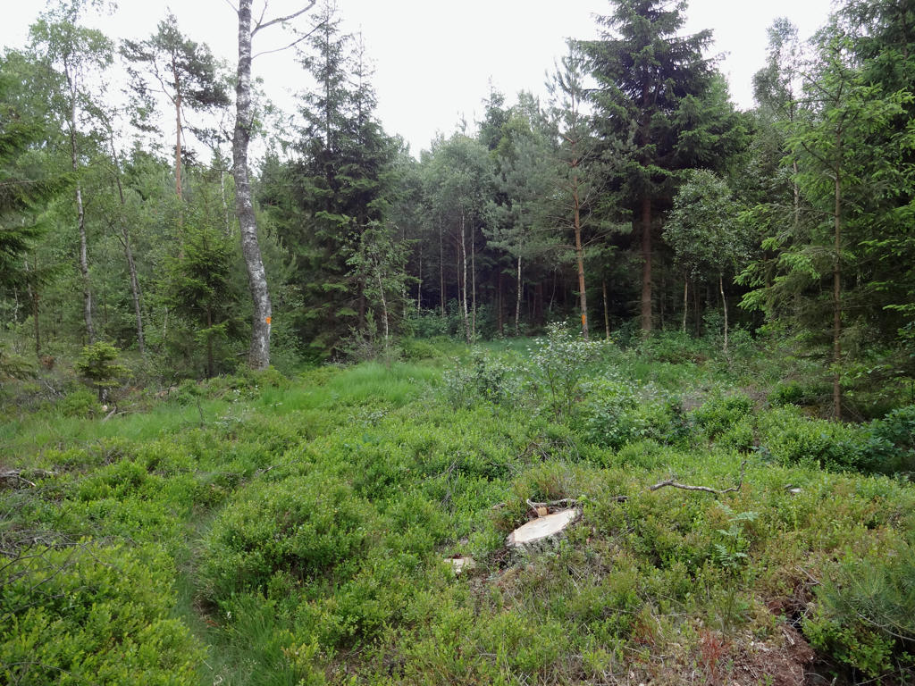
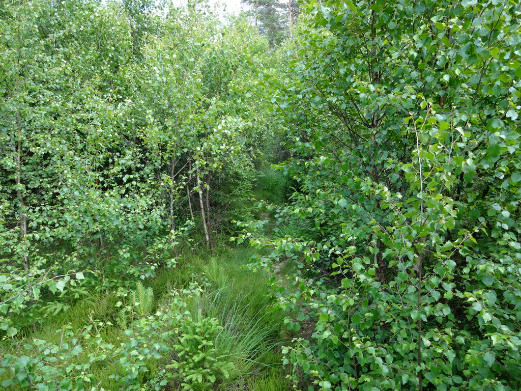
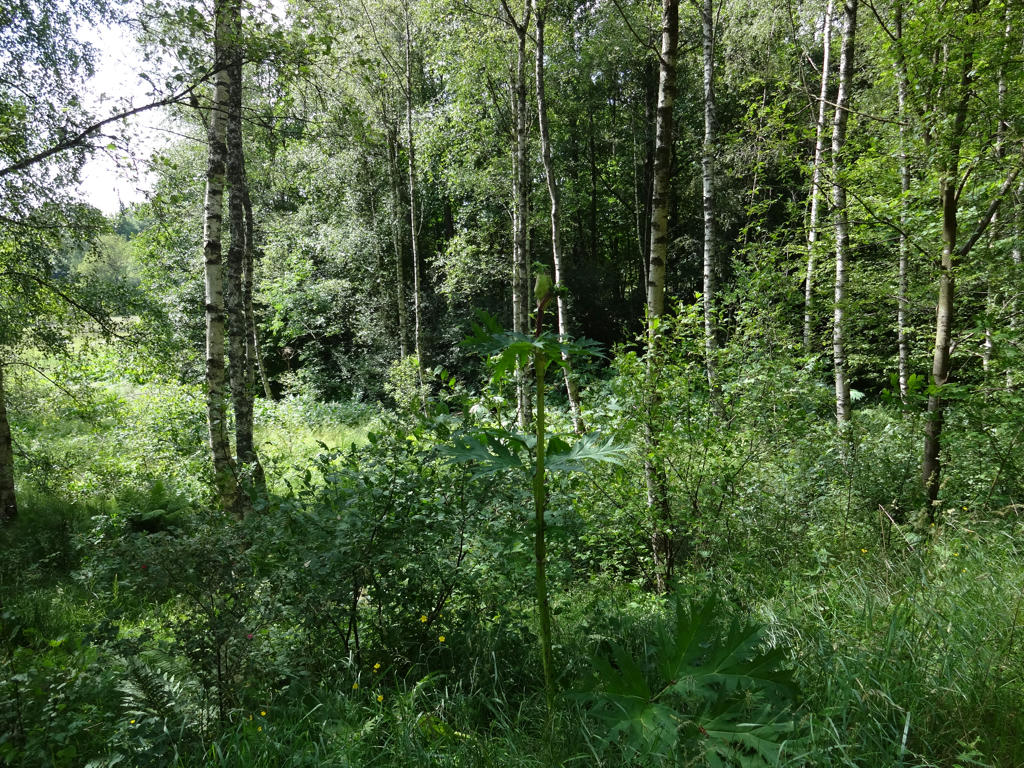
Bog/swamp shortly before Bollaltebygget. Increased the brightness of the image slightly using the Curves tool in GIMP.
8.
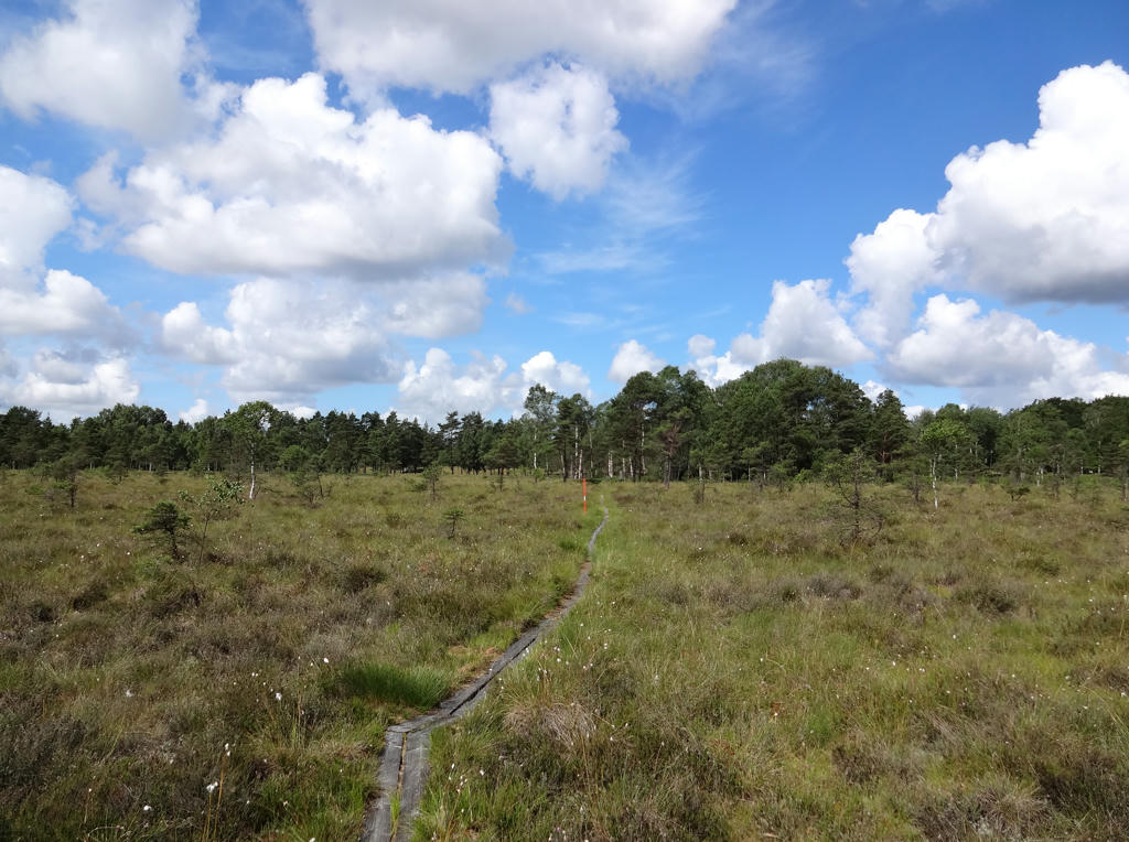
Rotated the photo slightly and then cropped it. Also increased the contrast slightly.
9.
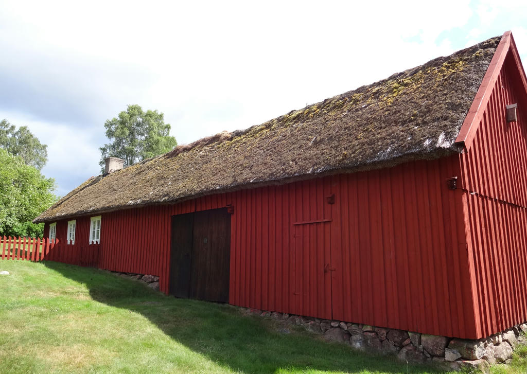
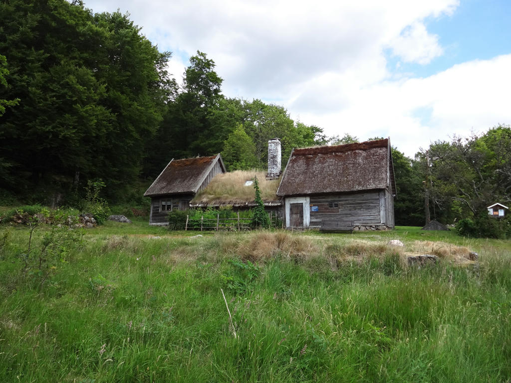
One of the buildings at Bollaltebygget Nature Reserve. The nature reserve "seeks to show what landscape and buildings looked like in the bygone days. The houses are preserved in their archaic appearence. The land around the houses is tended as it was in the eighteenth and nineteenth centuries. There are small meadows, grazing land on heath-covered heaths and bogs, and an open beech wood used as pasture." Cropped the image a bit to cut away a part of an information board.
10.
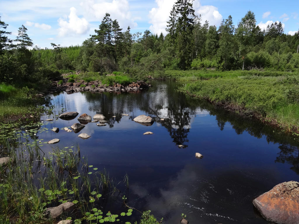
Killebergsån
11.
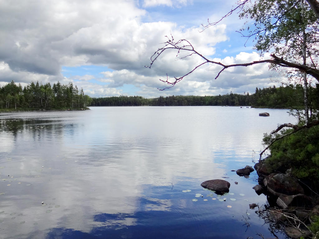
Killebergssjö. This photo was way too dark and tricky to improve. I marked various regions in the photo and used the curves tool in GIMP to brighten the separate regions. Further I also increased the contrast for the separate regions and the overall contrast.
12.
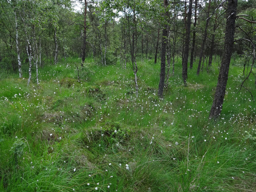
Slightly increased the brightness and contrast.
13.
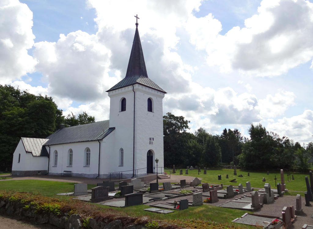
Mästocka Church. Rotated and cropped the image. Also increased brightness slightly using curves tool in GIMP.
14.
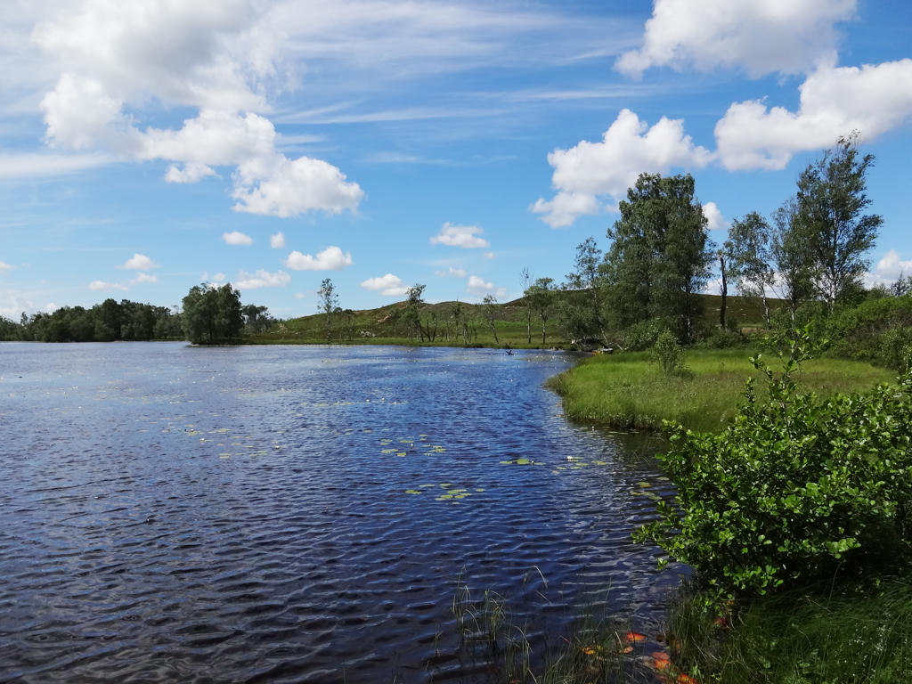
Björsjö (with view of Mästocka ljunghed). Increased the brightness for the image overall and then for the lake specifically.
15.
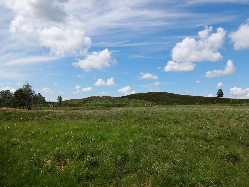
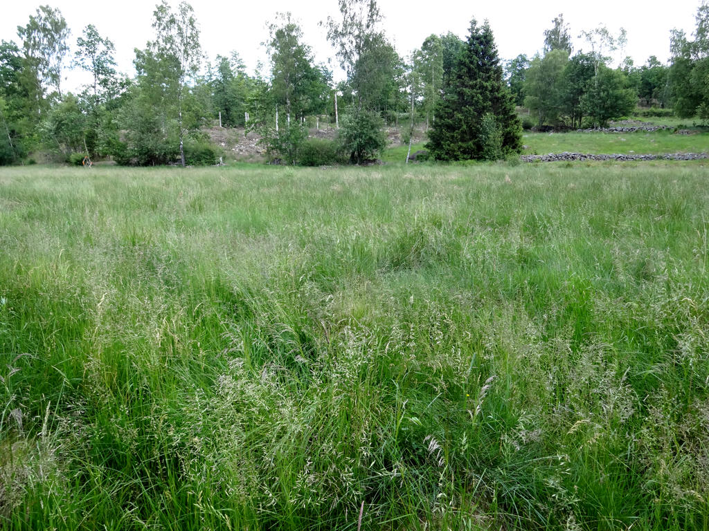
Mästocka Ljungdhed. This nature reserve shows how large parts of the landscape in Halland looked during the 1700s and 1800s. Back then one third of Halland was covered by heath acide, all the way from the coast and to far inland.
The landscape flower of Halland, hairy greenweed, thrives on the heath. It blossoms in June and its' flowers can then color Mästocka ljunghed golden yellow. During the autumn the heath is colored purple by ling. The hen bird heathfowl can be found in the reserve all year round and during the spring one can observe their courtship ritual. Woodlark, meadow pipit and skylark thrive on the heath and the mountain hare readily eats the plants that spire here after the heath has recently been burned. Bumblebees and bees gather nectar during the whole season. During autumn the bees produce a dark linghoney. Increased brightness using curves tool in GIMP and also increased contrast.
The landscape flower of Halland, hairy greenweed, thrives on the heath. It blossoms in June and its' flowers can then color Mästocka ljunghed golden yellow. During the autumn the heath is colored purple by ling. The hen bird heathfowl can be found in the reserve all year round and during the spring one can observe their courtship ritual. Woodlark, meadow pipit and skylark thrive on the heath and the mountain hare readily eats the plants that spire here after the heath has recently been burned. Bumblebees and bees gather nectar during the whole season. During autumn the bees produce a dark linghoney. Increased brightness using curves tool in GIMP and also increased contrast.
16.
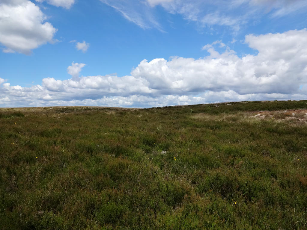
Made the photo brighter by adjusting the values curve. Further I increased the contrast slightly.
17.
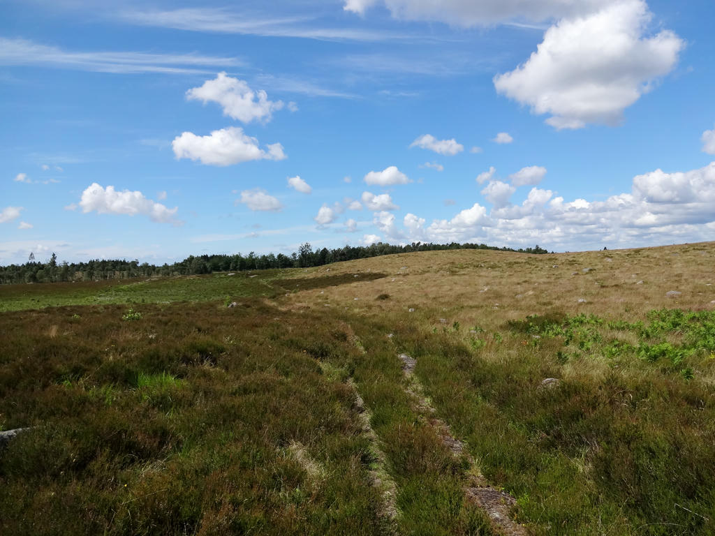
Made the photo brighter by adjusting the values curve. I also increased the contrast slightly.
18.
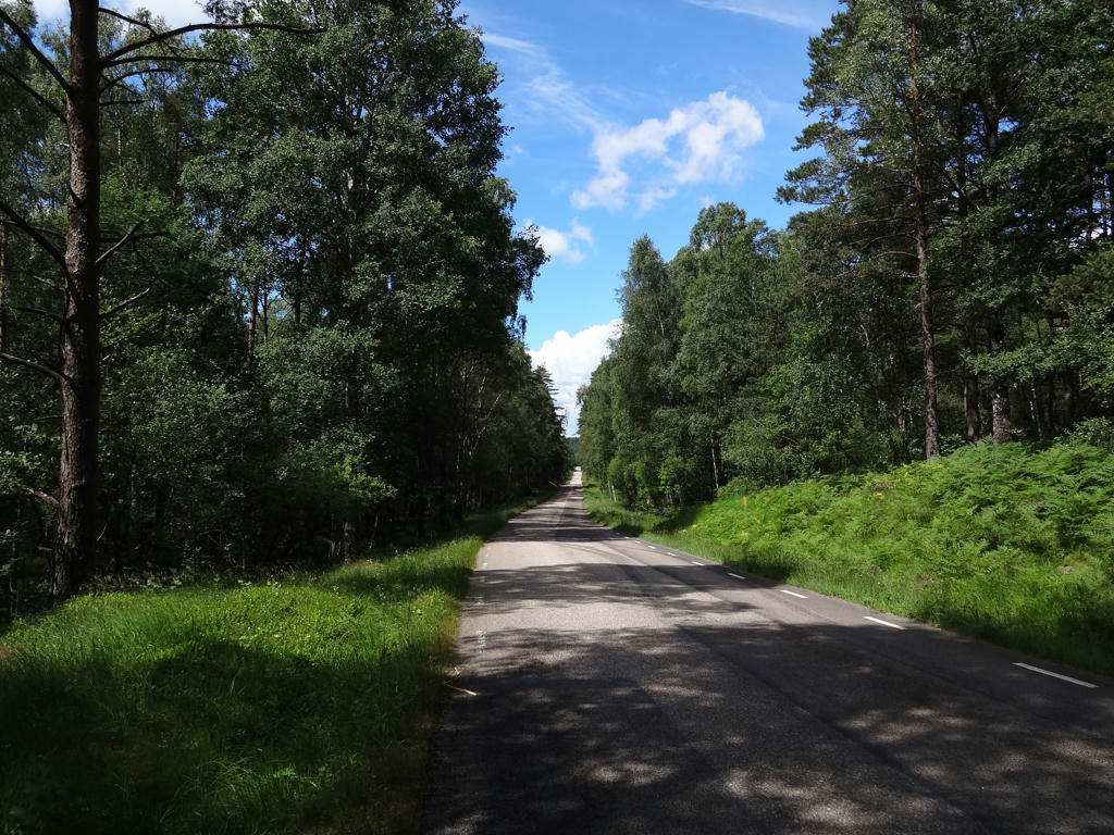
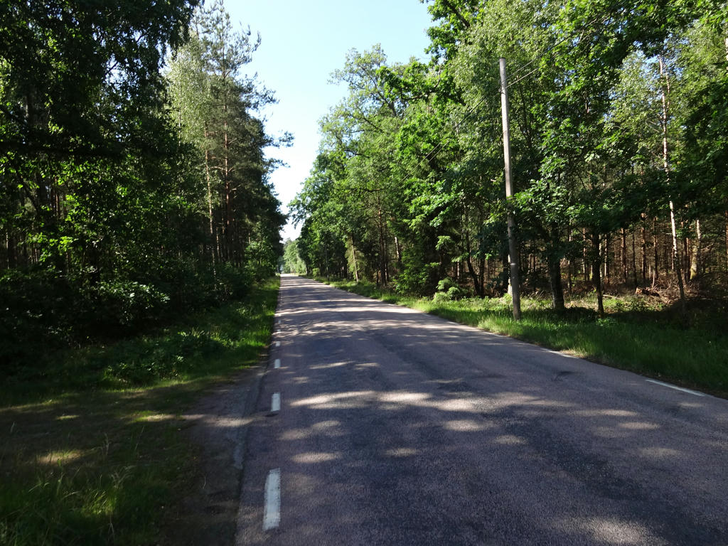
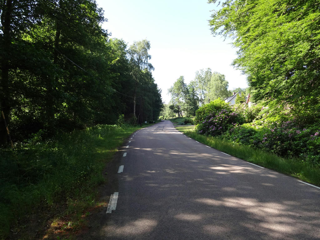
After Mästocka ljunghed the next 5km of the trail goes on the asphalt road.
19.
20.
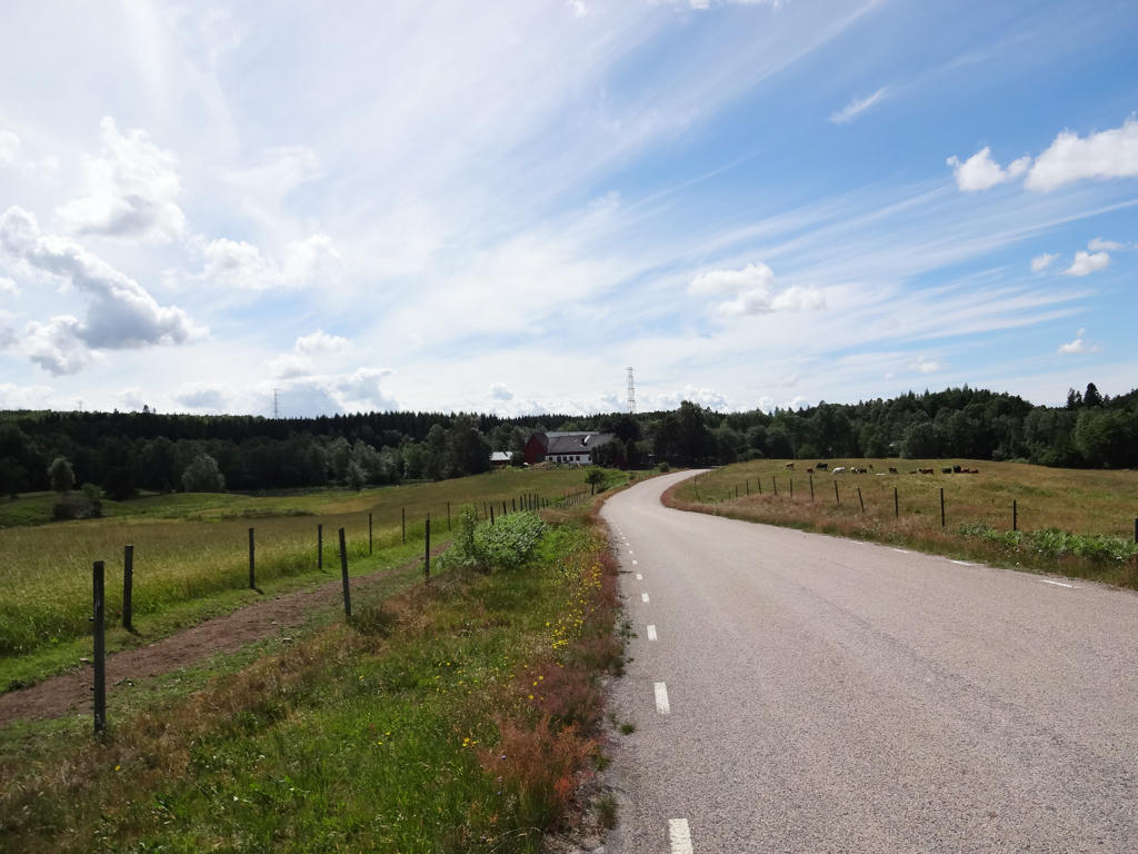
Skaftabygget. Slightly increased the brightness using curves tool in GIMP.
21.
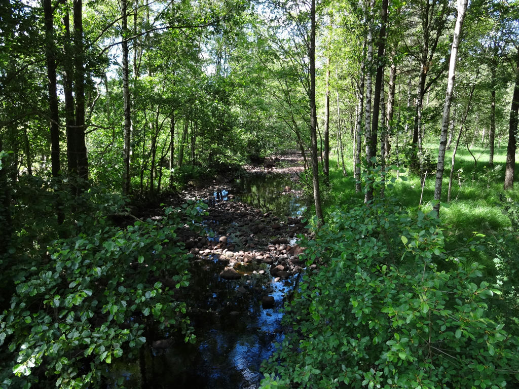
Brostorpaån
22.
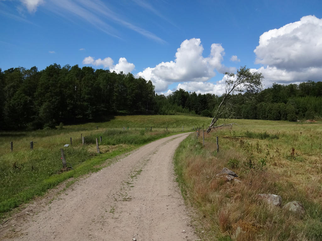
Increased brightness slightly by adjusting the levels curve.
23.
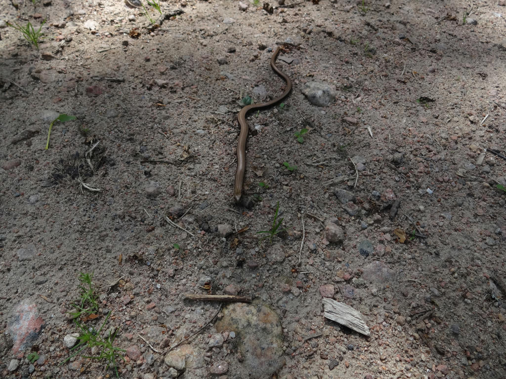
A slow worm
24.
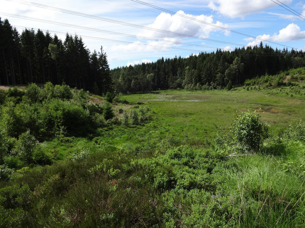
25.
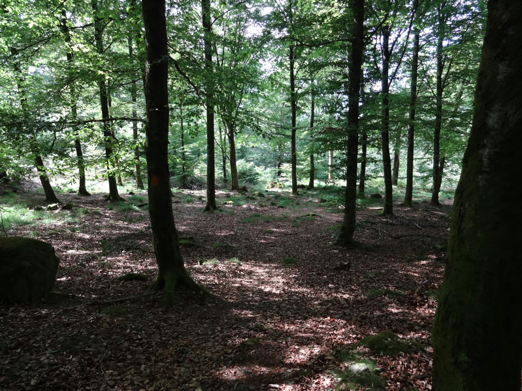
26.
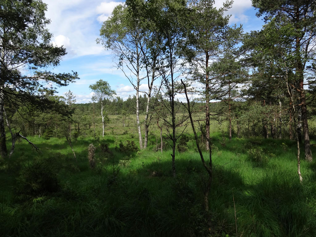
View of a bog/swamp shortly before Bladetorpet. Increased the brightness for the shadows by adjusting the value curve.
27.
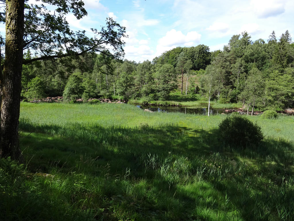
View of the river Assman. This happens to be part of Gårdhults nature reserve.
Gårdhult is one of Halland's best preserved cultural landscapes. Nowadays there is museum agriculture pursued here. Older types of grains and flax are grown on small plots of land along with field tares/weeds such as corn flower, corncookle and pickly poppy. In the flax field you can not only find the blue blossoming flax but also flax dodder, gold-of-pleasure and corn spurry. Several of the fields are harvested using scything. There are many butterflies on the fields before the haymaking.
Gårdhult is one of Halland's best preserved cultural landscapes. Nowadays there is museum agriculture pursued here. Older types of grains and flax are grown on small plots of land along with field tares/weeds such as corn flower, corncookle and pickly poppy. In the flax field you can not only find the blue blossoming flax but also flax dodder, gold-of-pleasure and corn spurry. Several of the fields are harvested using scything. There are many butterflies on the fields before the haymaking.
28.
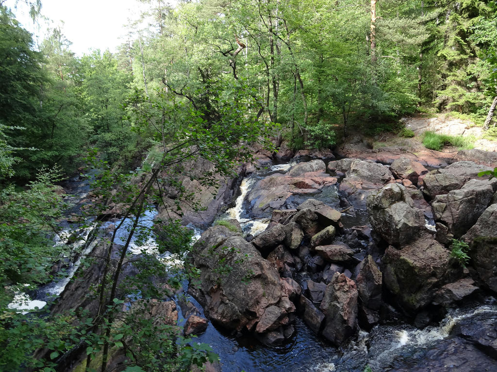
Danska Fall in the river Assman has a fall height of 36m.
In the middle of the largest waterfall there's a stone called Kungastenen (meaning King's Stone) The name Danska Fall (meaning Danish Falls) originates from a hearsay. It is said that after the battle near Fyllebro a part of the Danish army fled upstreams Fylleån. The Swedes had built a deficient bridge and chased the Danes out on to it. The bridge collapsed and many of the Danes fell and drowned. This might have happened in year 1676 when Karl XI was the Swedish king. Slightly sharpened the photo.
In the middle of the largest waterfall there's a stone called Kungastenen (meaning King's Stone) The name Danska Fall (meaning Danish Falls) originates from a hearsay. It is said that after the battle near Fyllebro a part of the Danish army fled upstreams Fylleån. The Swedes had built a deficient bridge and chased the Danes out on to it. The bridge collapsed and many of the Danes fell and drowned. This might have happened in year 1676 when Karl XI was the Swedish king. Slightly sharpened the photo.
29.
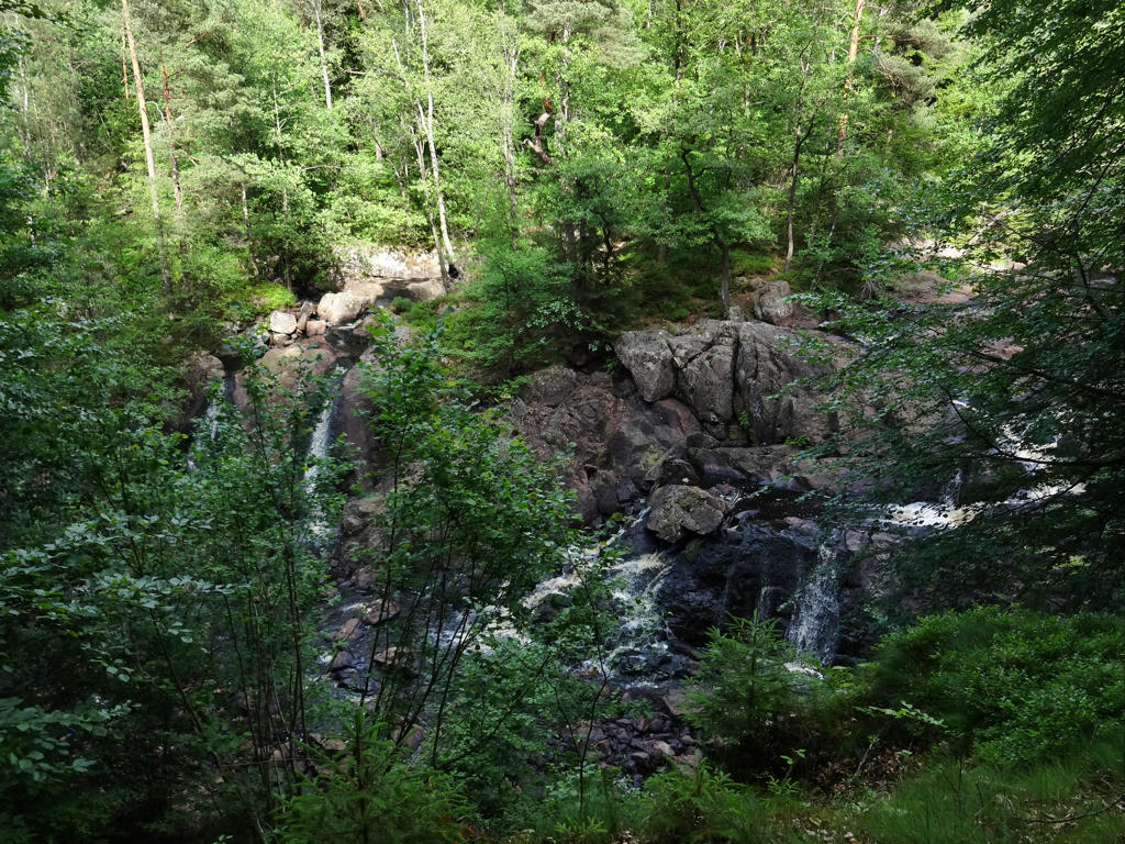
Brightened the shadowed parts of the photo a bit (using curves tool in GIMP).
30.
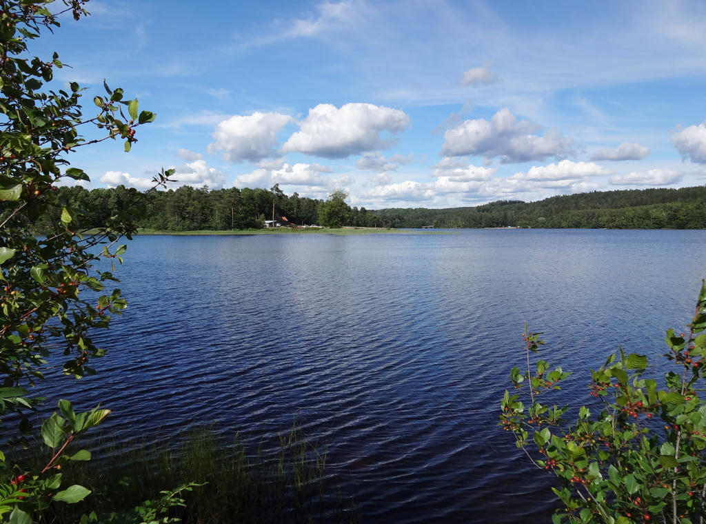
Bredaredssjön. Used curves tool in GIMP to first brighten the image overall and then a bit more for the water.
31.
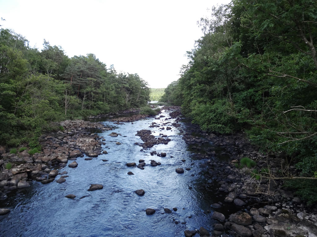
Fylleån. The initial photo had too dark water, this one has too but slightly less so. Used the curves tool in GIMP and adjusted the all the color channels and the value channel.