After finishing Hallandsleden it took a bit more than 2 weeks for me to get back to long-distance walking. One of the reasons why the break was so long was because I wanted to rest but the key reason however was that I didn't have any more walks planned. Initially the goal in 2016 was to just walk Hallandsleden. However, at some point I started looking into European long-distance paths. Two of the European long-distance paths go through Sweden, namely E1 and E6. Of course I had by this point walked walked a tiny part of both E1 and E6 since I walked the parts which overlap with Hallandsleden. Furthermore I had already walked the parts from Lindome to Kåsjön in 2015 (although at that point I thought I was just walking Bohusleden, rather than also walking E1 at the same time). Either way, at first the goal became to walk the parts of E1 which are in Västra Götaland, thus walking Vildmarksleden, Sjuhäradsleden and Västra Vätterleden. However over the next few weeks the goal was expanded and now my goal is to within the next few years to walk the rest of E1 and E6 through Sweden (as well as walk parts of other European long-distance paths in other countries, especially the parts in Poland but also parts in Slovakia, Czech Republic, Hungary, Slovenia etc. but that will probably be saved for later).
Either way, now that I've covered a bit of the background it's time to cover this specific walk. So, on Sunday the 14th August I went by bus to Hindås and then walked in total 32km to reach Kåsjön (I was thinking about going 10km more to reach Skatås (and thus finishing Vildmarksleden) but my camera battery was running out and I didn't have extra batteries at that point in time). The walk took 7h47min in total and my average speed was thus approximately 4.11km/h.
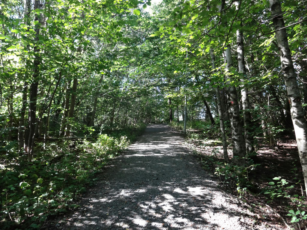
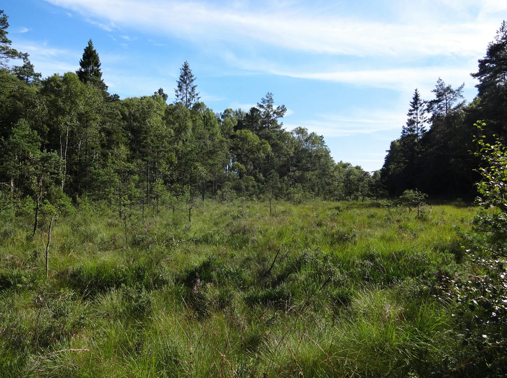
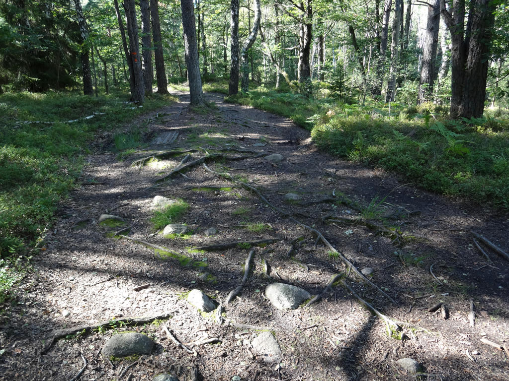
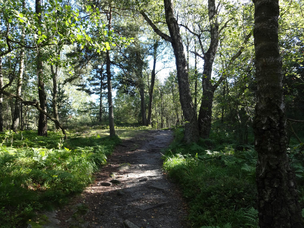
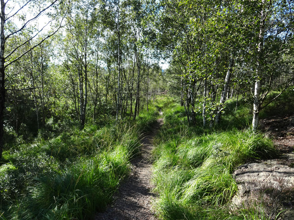
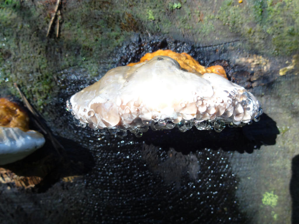
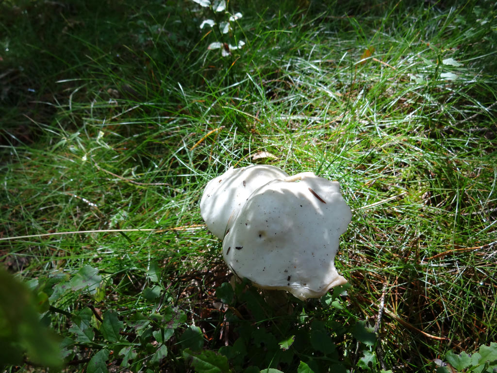
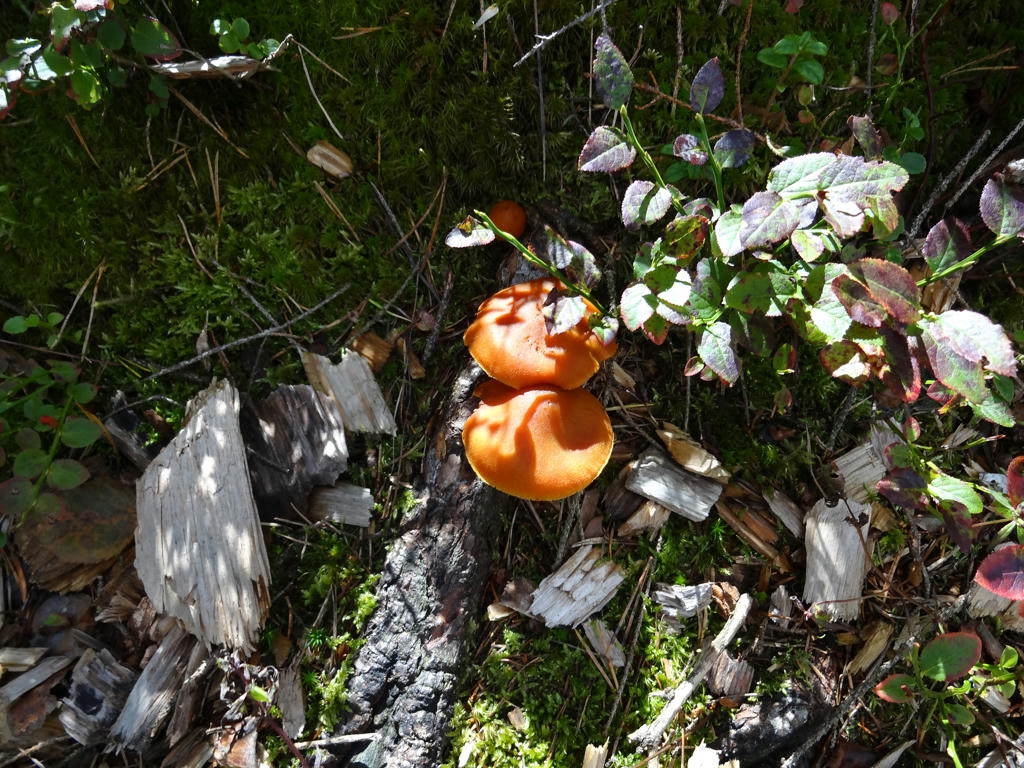
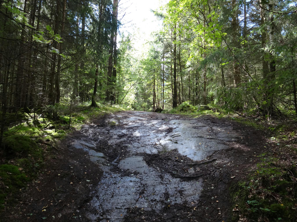
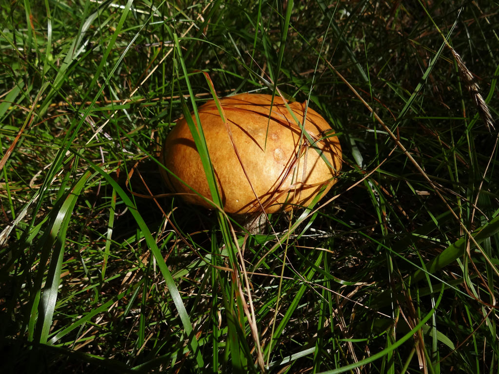
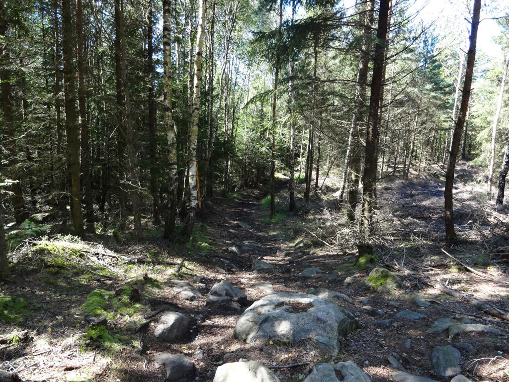
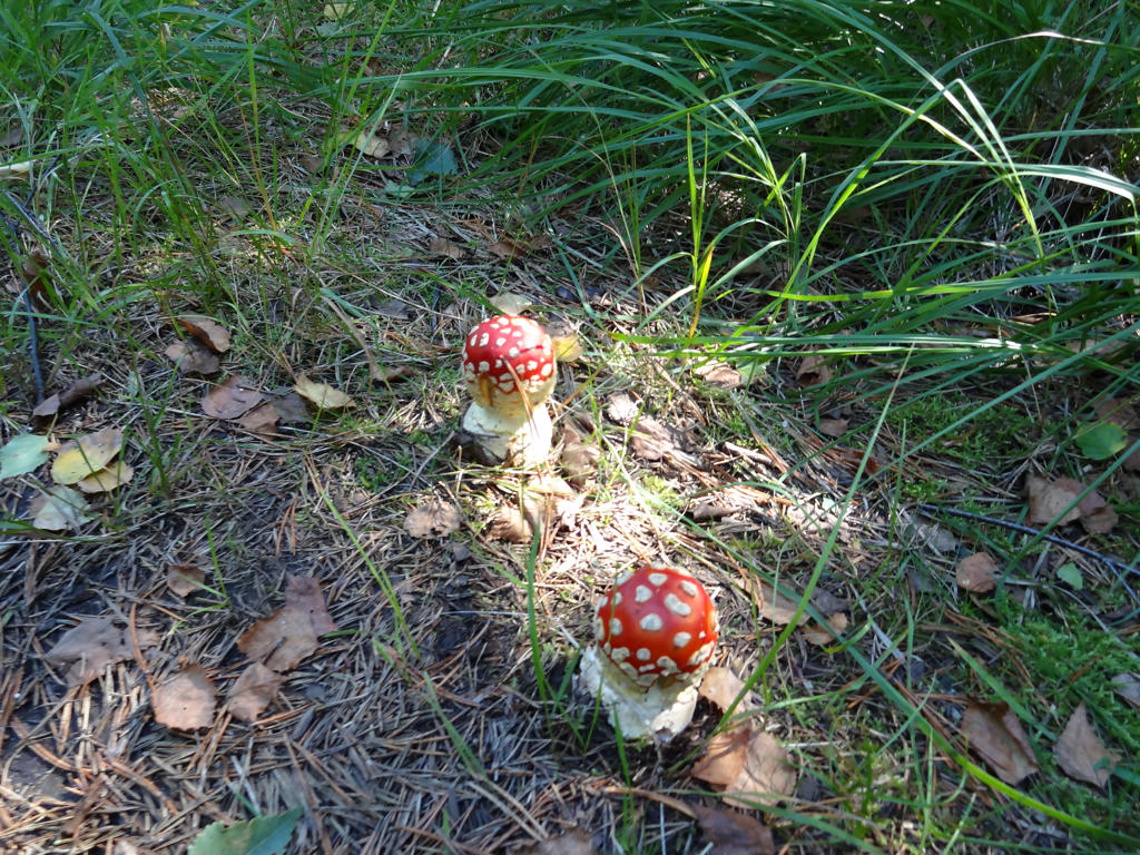
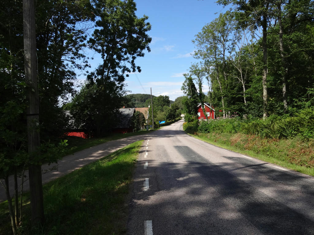
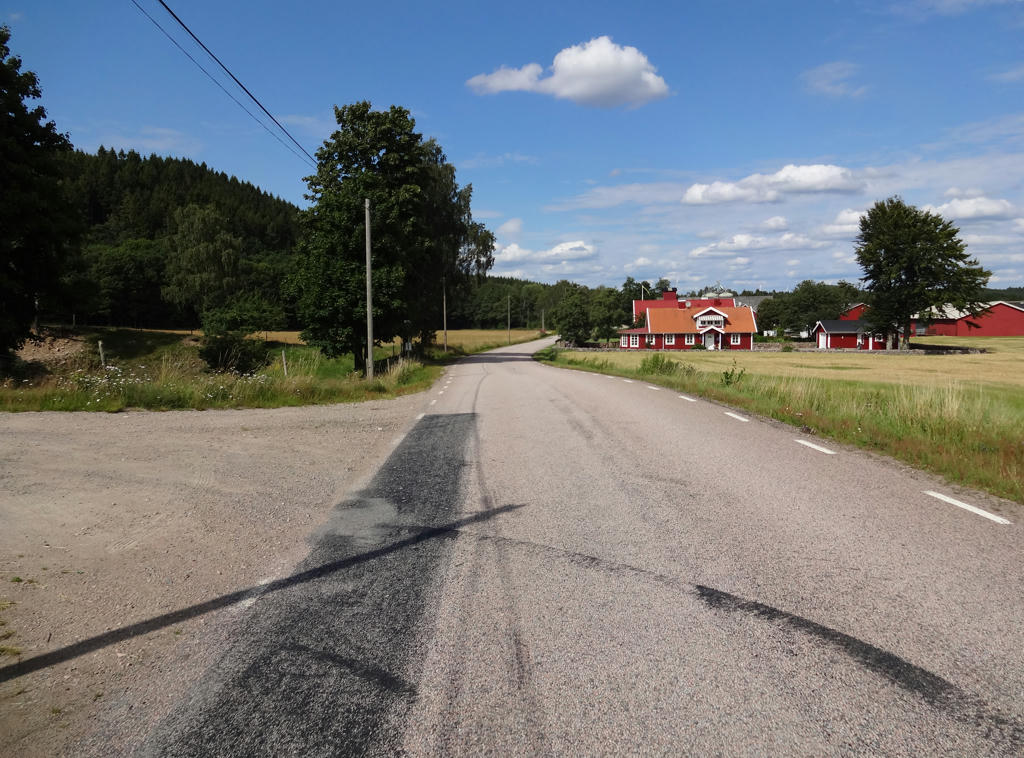
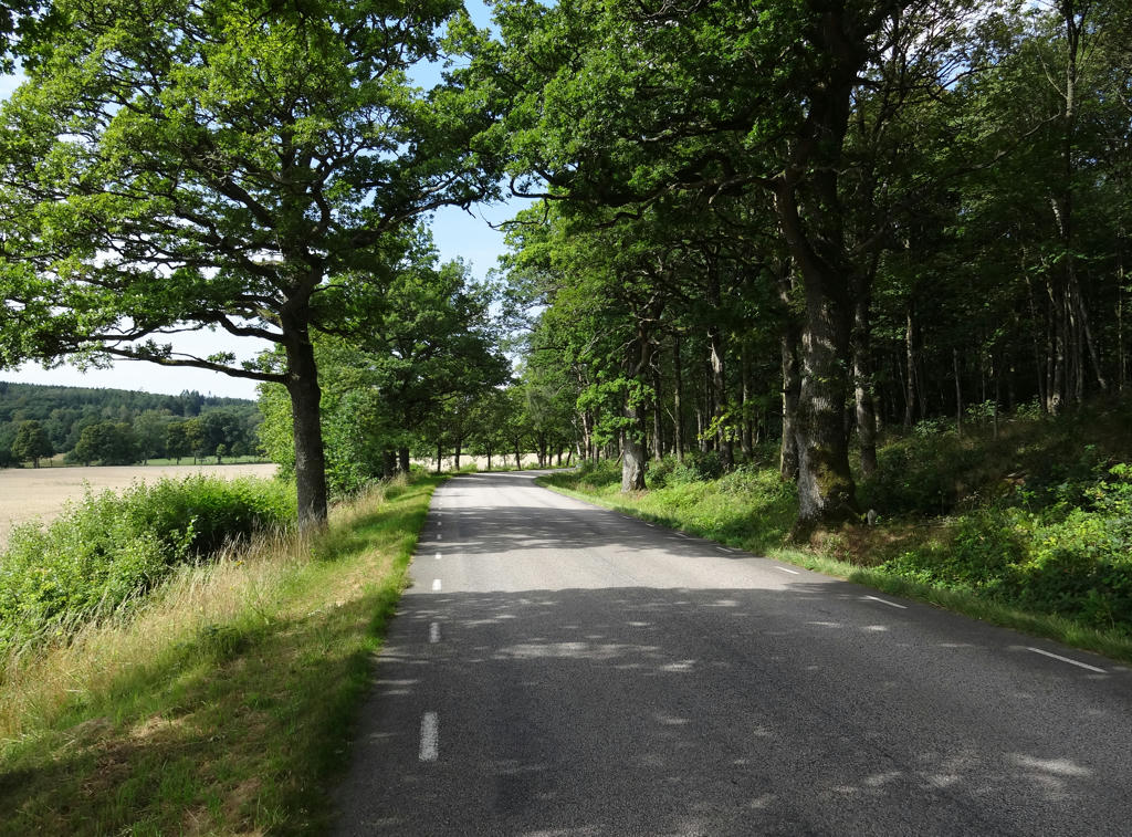
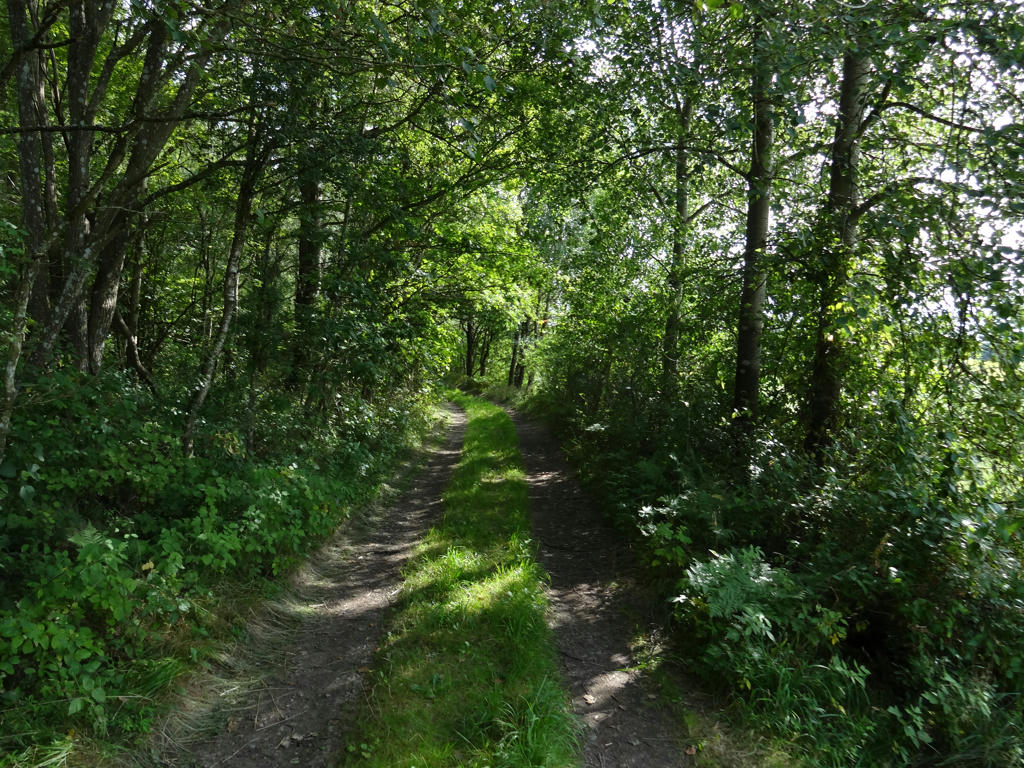
This is certainly one of my favorite walks. Unlike most of Hallandsleden, the walks in Västra Götaland (Bohusleden, Vildmarksleden, Sjuhäradsleden etc.) tend to go to a large extent through forests and often on trails in woods rather than on gravel roads. This is very true for Vildmarksleden from Hindås to Kåsjön since almost all of the walk goes through the woods and most of it on trails. Not only does most of it go through the woods but there are also plenty of lakes on the way (and also many different kinds of mushrooms). Furthermore, the trails and the signs are in good condition unlike certain other walks (for instance most of Bohusleden goes on trails through the woods but sometimes the trails are in very bad condition and the signs have fallen off so it's easy to get lost).
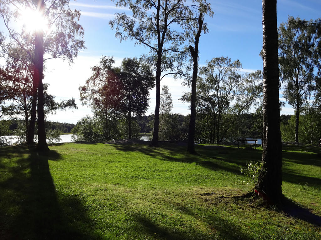
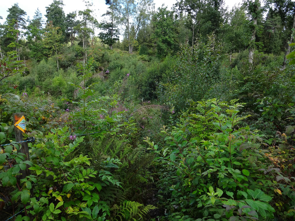
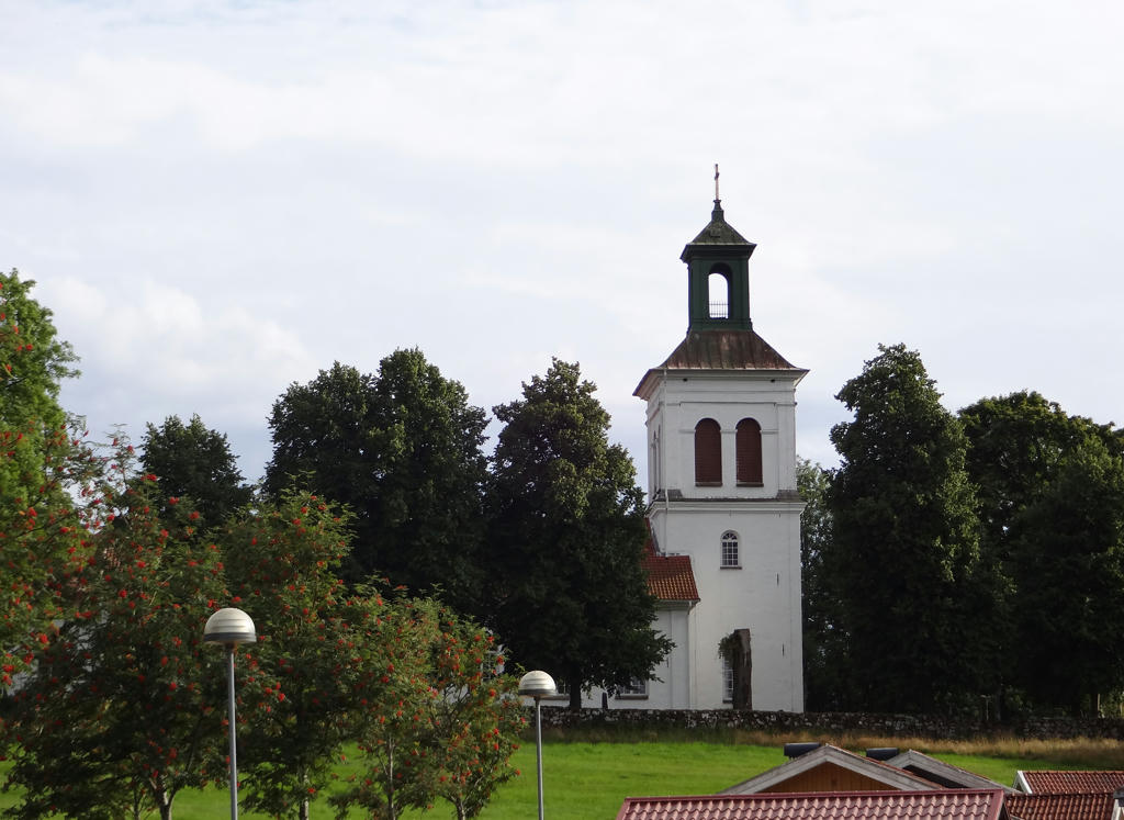
Not only did I enjoy the walk very much but I also managed to take a few quite nice photos. So without further ado I present some of the photos!
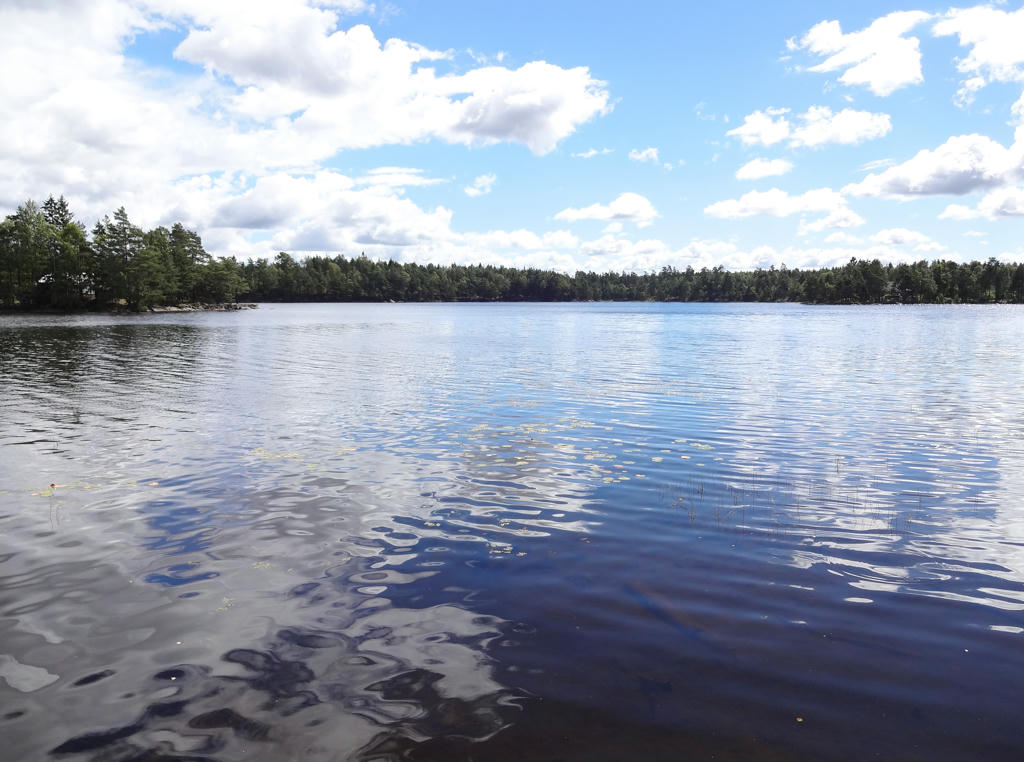
1.
The lake in the background is Västra Nedsjön. Rotated and cropped the photo.
2.
Västra Nedsjön. Rotated and cropped the photo and then I increased the brightness slightly for the non-sky parts using the levels tool.
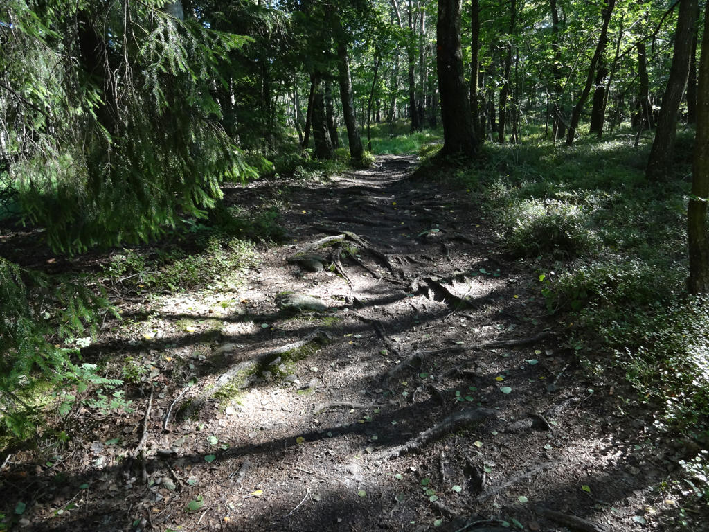
3.
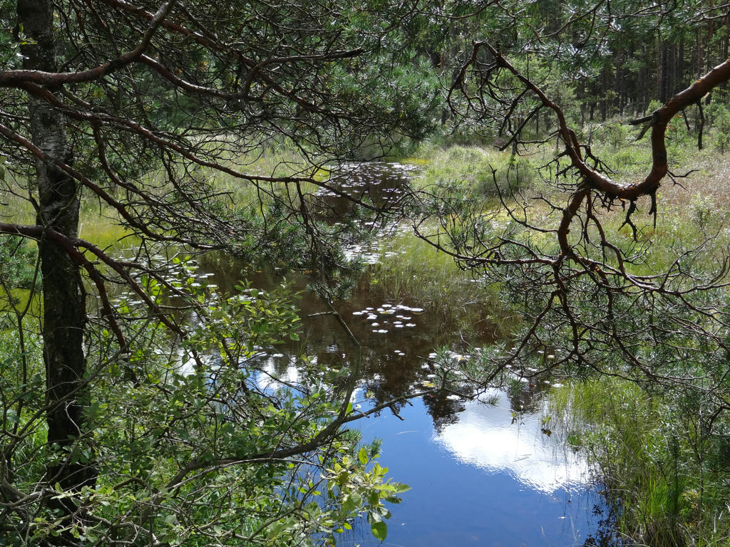
4.
Långetjärnen
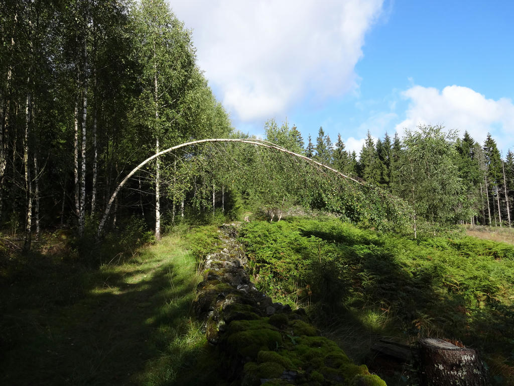
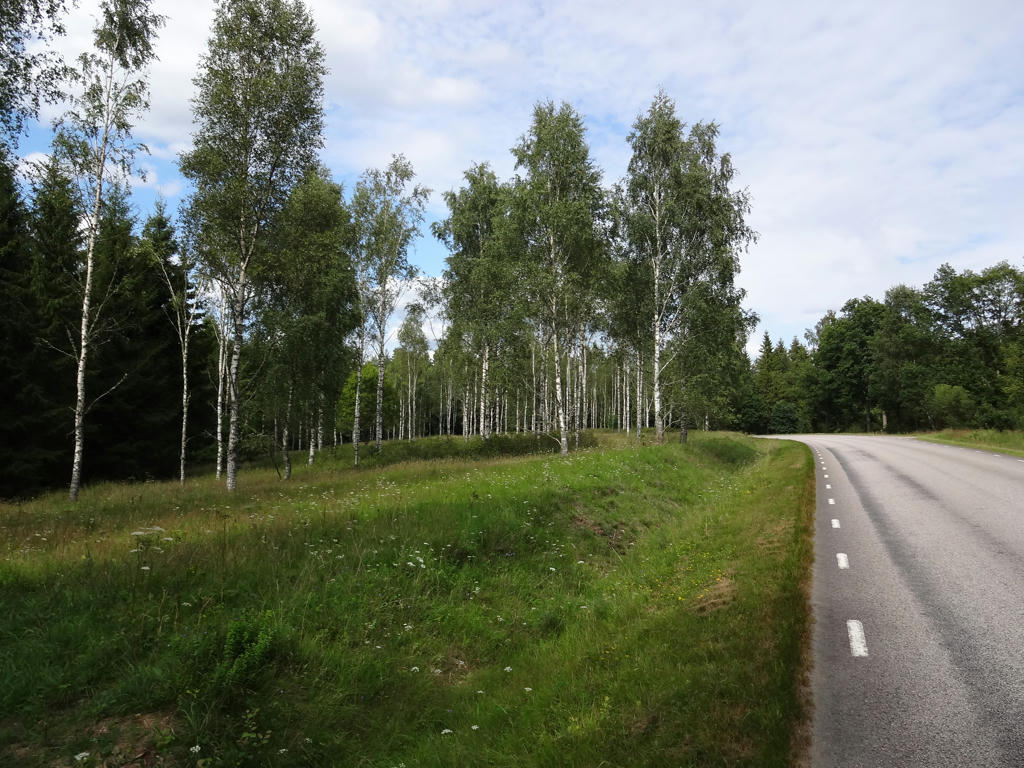
5.
A birch tree with quite a bend. Removed the cyan-ish parts of the sky using the hue restorer plug-in.
6.
Blomman. Rotated the photo slightly and then I cropped it. I also used the hue restorer plug-in to get rid of some of the cyan-ish parts of the sky.
7.
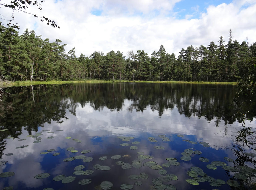
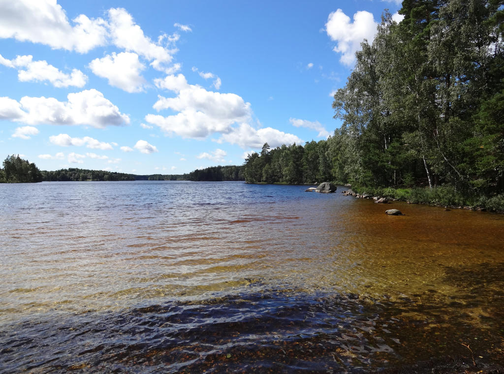
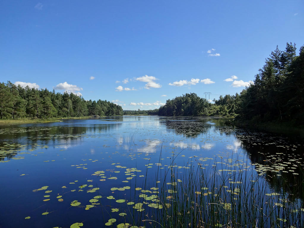
An island in Stora Härsjön.
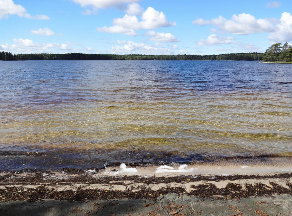
8.
Beach at Stora Härsjön. I think it's a very beautiful beach. Rotated the photo slightly and then cropped it.
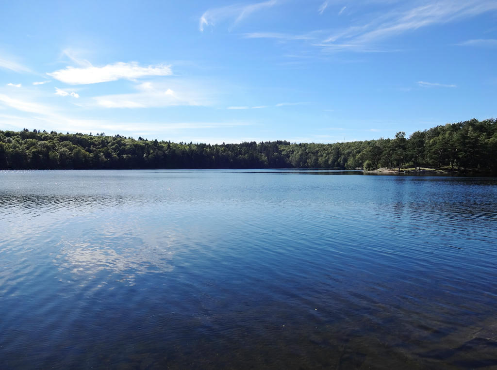
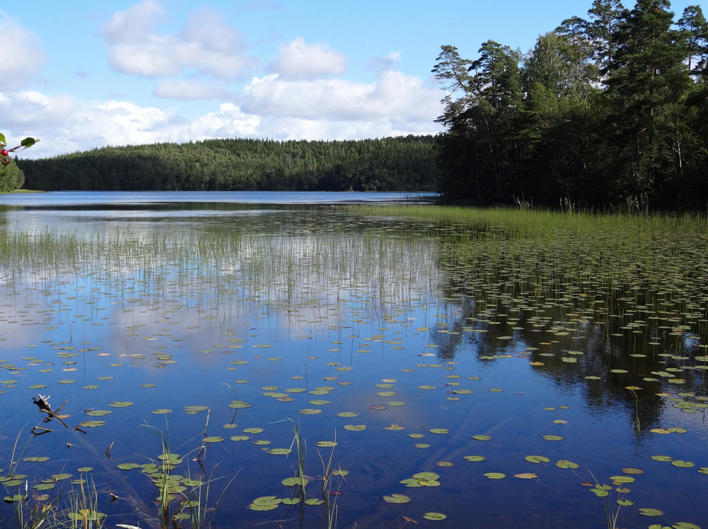
9.
View from a beach at Stora Härsjön. I love the color transitions in the photo, it's like a gradient. Rotated and cropped the photo. Then I removed some of the cyan-ish parts of the sky using the hue restorer plug-in.
10.
This is one of my favorite photos taken.
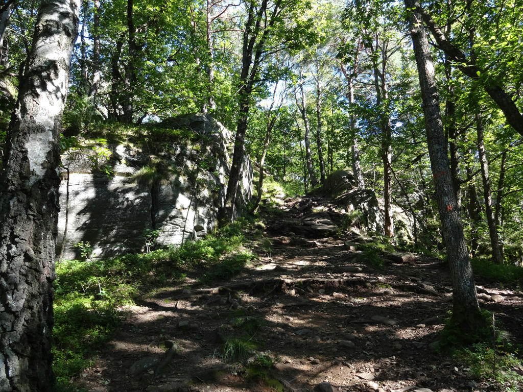
11.
12.
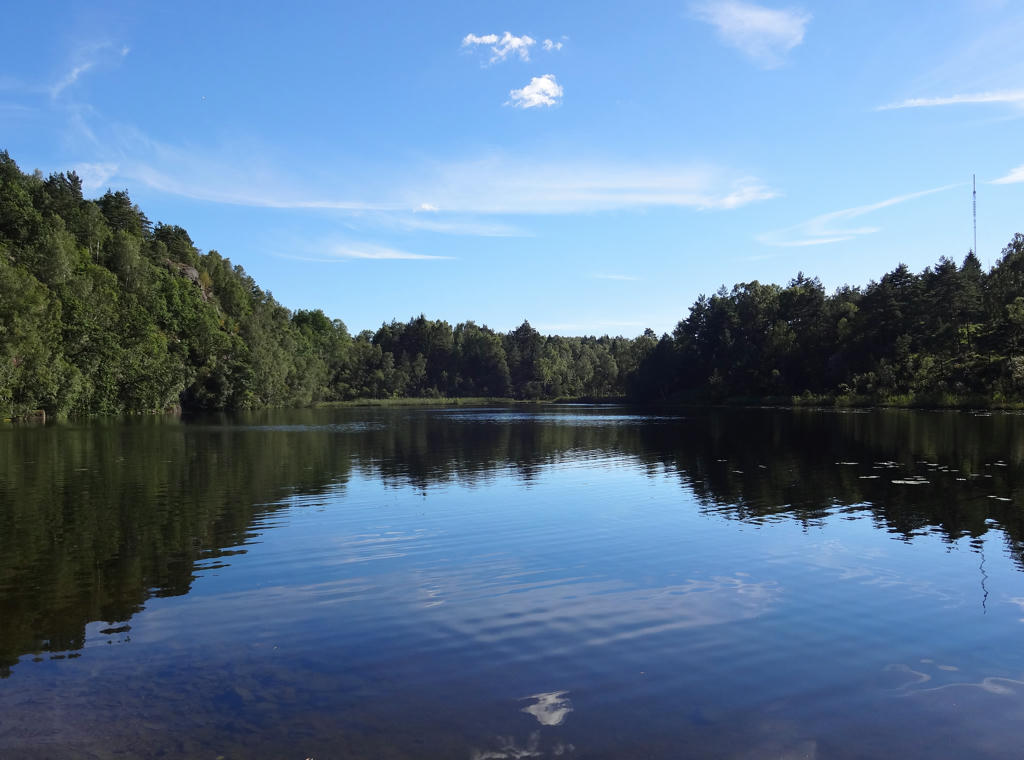
Ringetjärnen. Rotated and cropped the photo.
13.
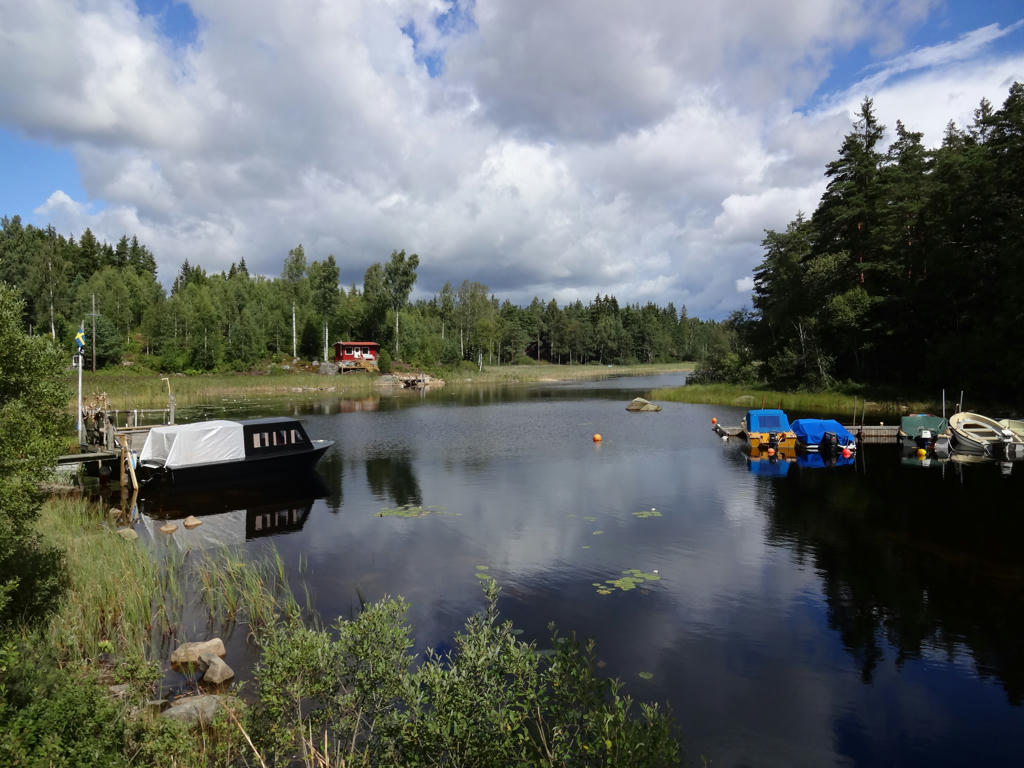
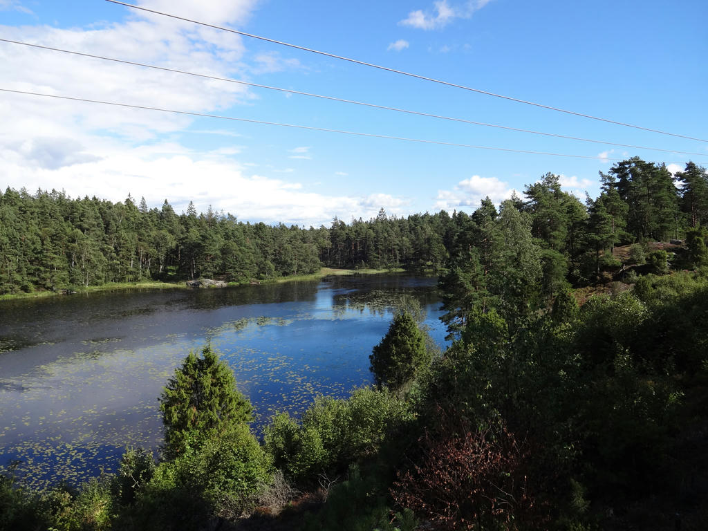
Stora Härsjön at Härsjödamm.
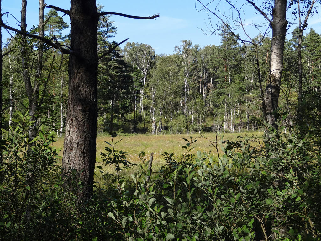
14.
15.
16.
17.
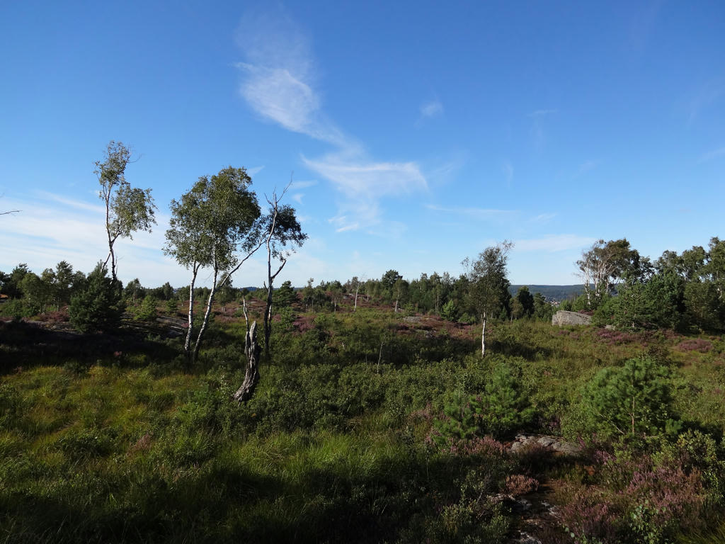
Hornasjön. Rotated and cropped the photo. Also used the hue restorer plug-in to make the sky slightly less cyan-ish.
18.
Sandsjön. Rotated and cropped the photo. Then I used the hue restorer plug-in to make the sky less cyan-ish. Finally for the non-sky parts I increased the brightness using the curves tool and then further increased the brightness and increased the contrast.
19.
20.
21.
22.
23.
Stentjärnarna. Increased the brightness for the non-sky parts using the levels tool and the curves tool.
24.
25.
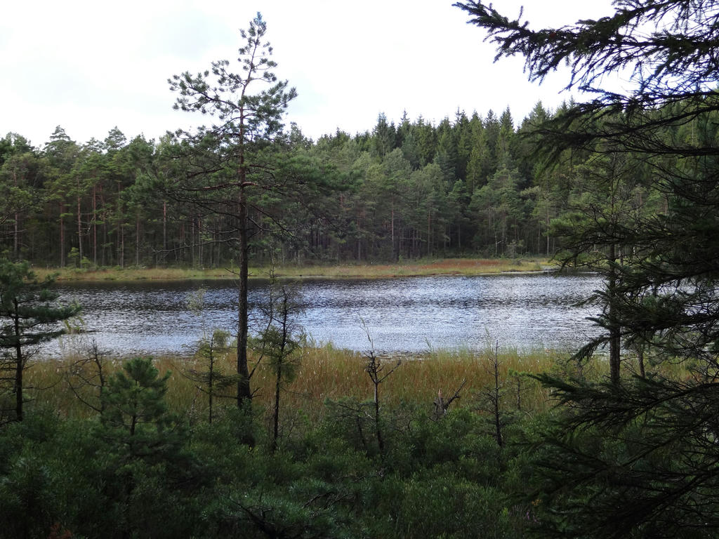
Lidmossarna. Used the hue restorer plug-in to get rid of the cyan-ish parts of the sky. Then I rotated and cropped the photo. Finally I slightly increased the brightness for the non-sky parts using the curves tool.
26.
27.
For the non-sky parts I increased the brightness using levels tool and curves tool. Also increased the contrast slightly.
28.
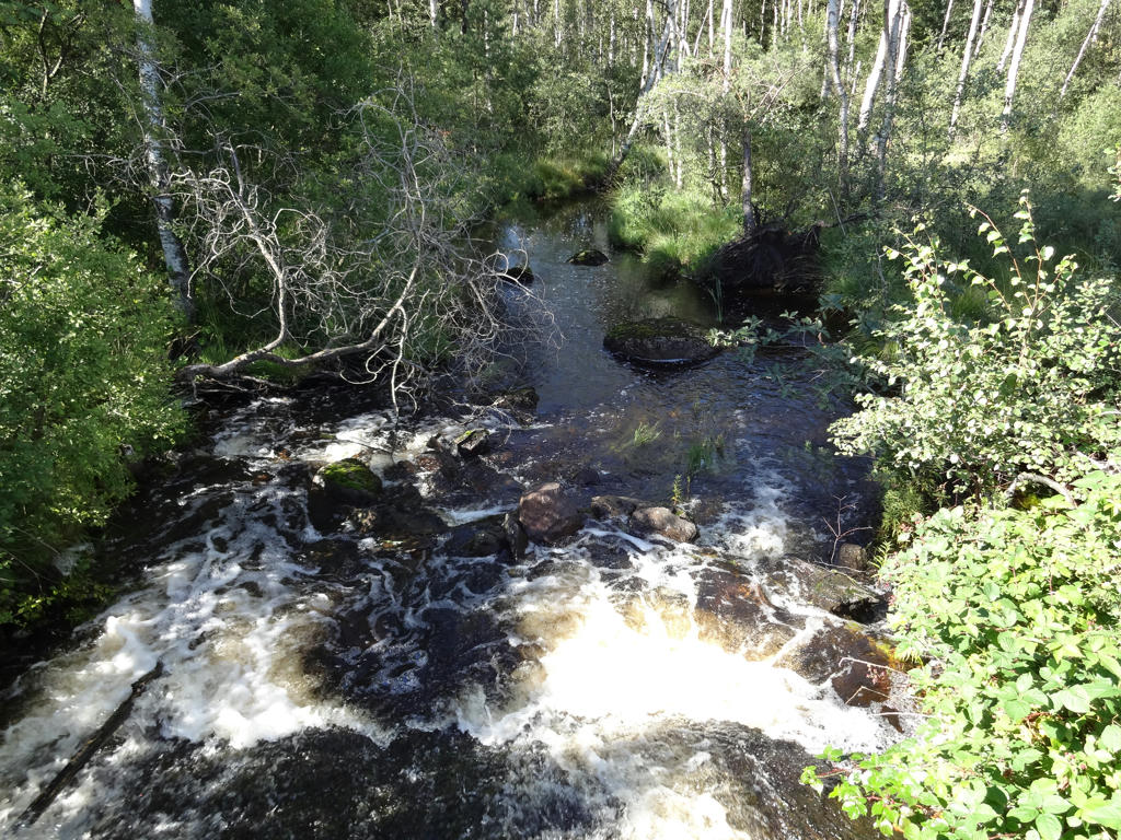
Kåbäcken (near Maderna).
29.
Maderna. For the non-sky parts I increased the contrast slightly and also sharpened these parts slightly (using unsharp mask).
30.
View of Maderna. Used the hue restorer plug-in to get rid of the cyan-ish sky parts.
31.
Used the hue restorer plug-in to get rid of the cyan-ish sky.