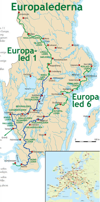
After one week I returned to the Bergslagsleden walks. This time I walked another segment of the Bergslagsleden and Västra Vätterleden walks from Ramundeboda to Undenäs, mentioned in Bergslagsleden Walk #1 (feel free to read that blog post for a more substantial background). In either case, as I've mentioned in the previous Bergslagsleden blog post I had planned to walk between Ramundeboda and Undenäs for three days in a row but I ended up with severe shoulder pain (and a bit milder back pain) and had to interrupt the walk the first day already. I've also mentioned before that these parts of Bergslagsleden are hard to reach with public transport. Thus, the only remaining option at that time was to let someone drive me to one of the starting points, wait for me most of the day and then drive back home. Thankfully my mother agreed to help me out with that.
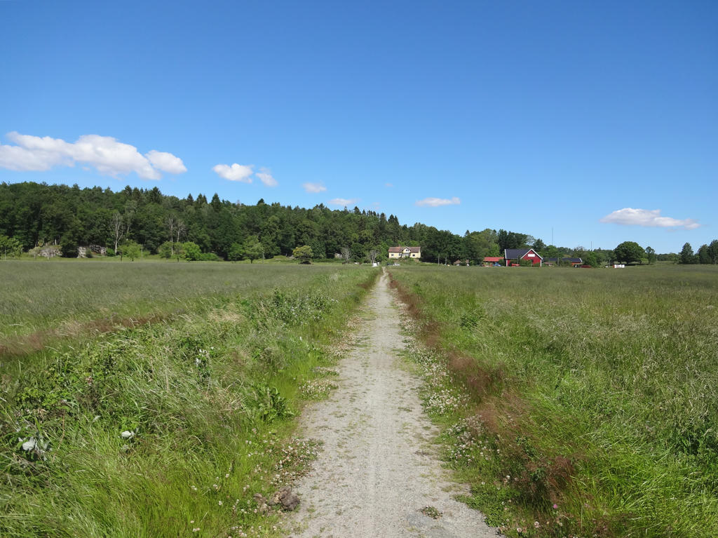
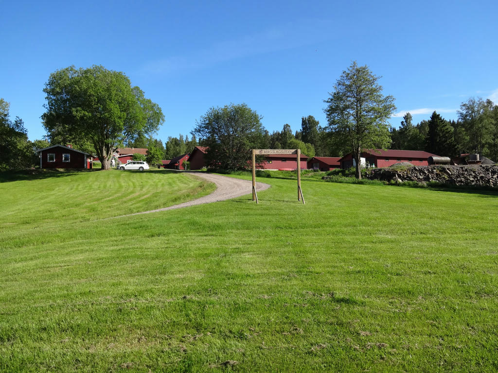
So, we arrived by car at Gråmon where the walk starts at 09:23. From there I walked 25km of Bergslagsleden to Stenkällegården where Bergslagsleden ends (or starts depending on the direction) and I further walked 9.9km of Västra Vätterleden to reach Granvik (I first walked 5.3km to reach Stora Djäknasjön and then took the west alternative way to Granvik (there are two ways to reach Granvik from Stora Djäknasjön (see page 3 here for the map), I walked the other one (albeit in the other direction) during Västra Vätterleden Walk #9 between Undenäs and Stora Djäknasjön)). In any case the duration for the walk was 10h40min, which was the walk with the longest duration up to this point. My average speed was thus approximately 3.27km/h. I walked the last 13.9km from the end of Tiveden's national park to Granvik significantly faster than the previous parts, partially to speed things up a bit and also because this part went more on gravel roads than on footpaths.
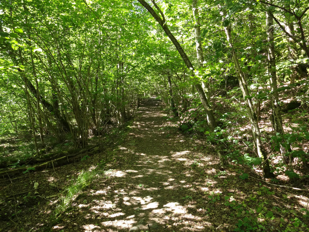
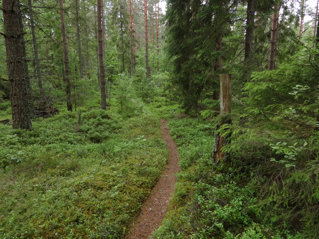
This walk continues through the Tiveden forest area, just like the previous Bergslagsleden walk from Ramundeboda to Gråmon. One of the highlights of this walk is that it goes through Tiveden's national park and it was the first time I visited a national park. The Bergslagsleden part of the walk, i.e.
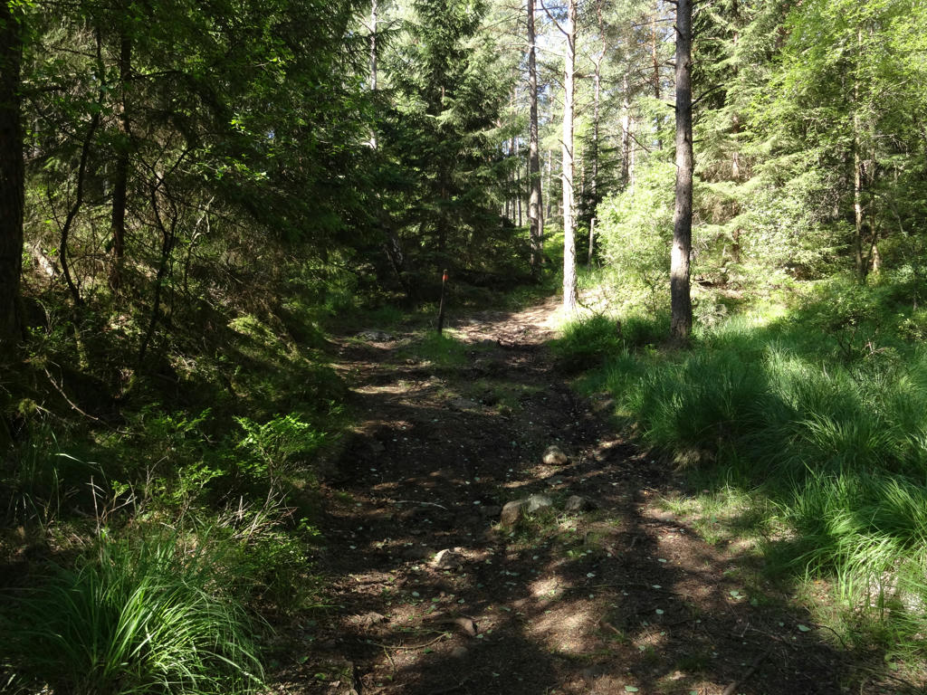
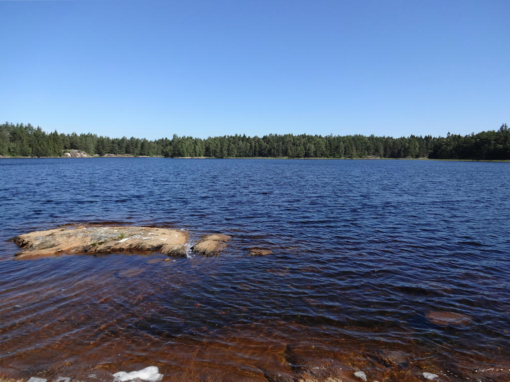
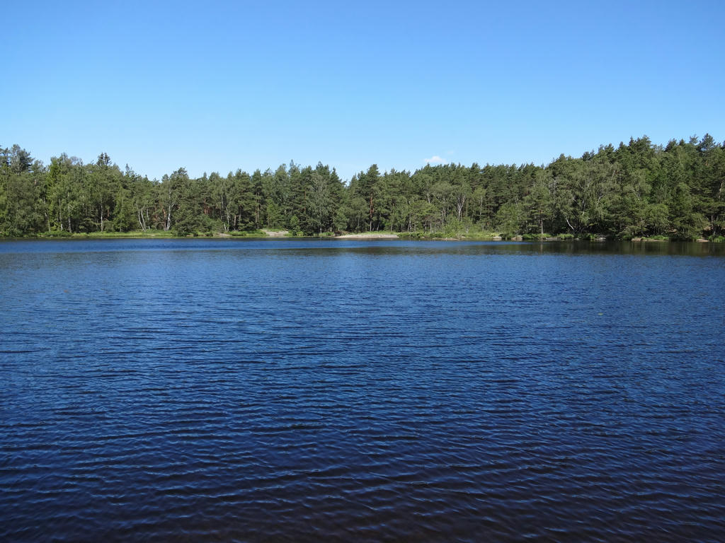
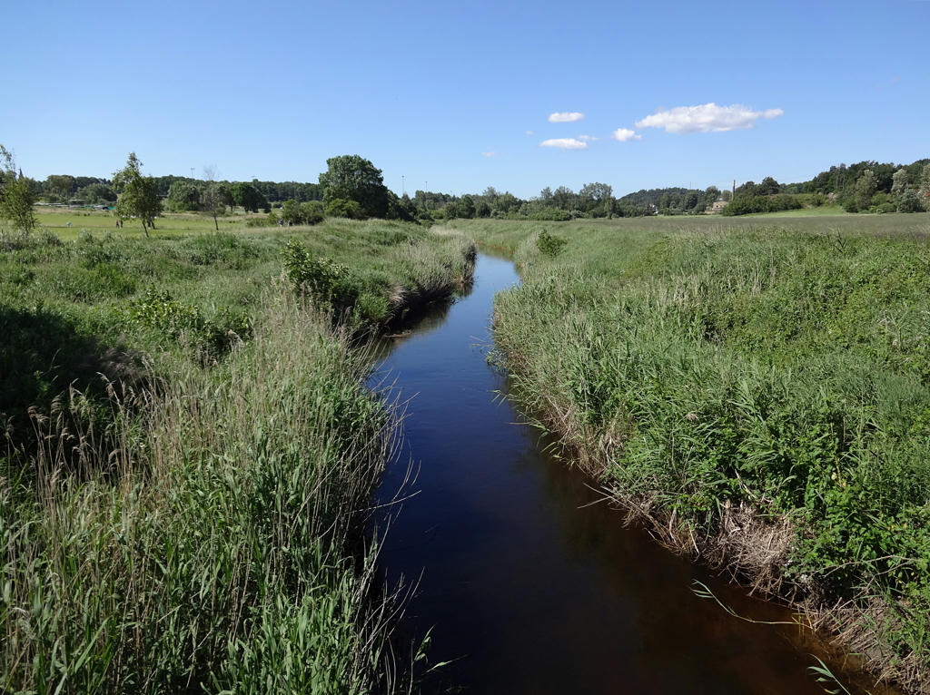
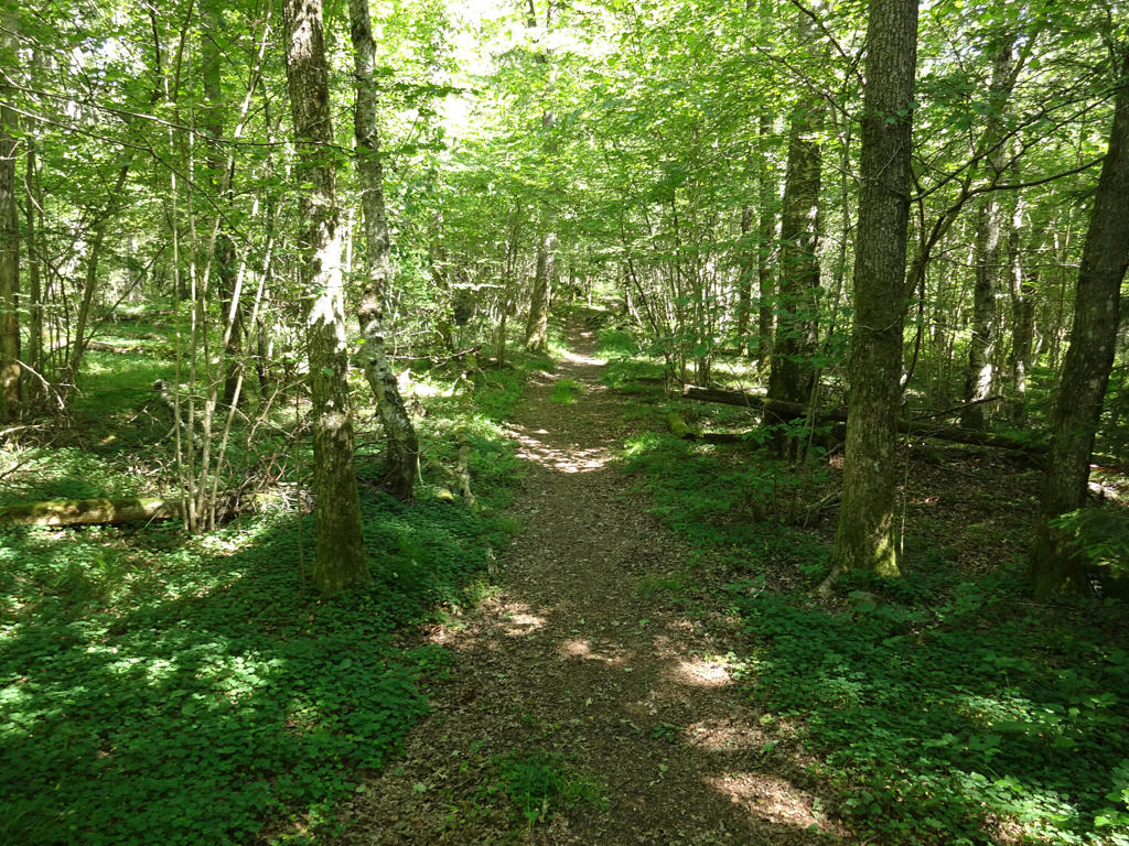
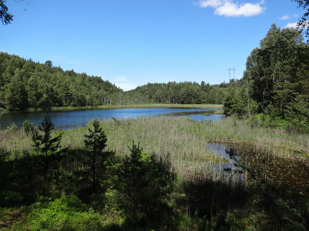
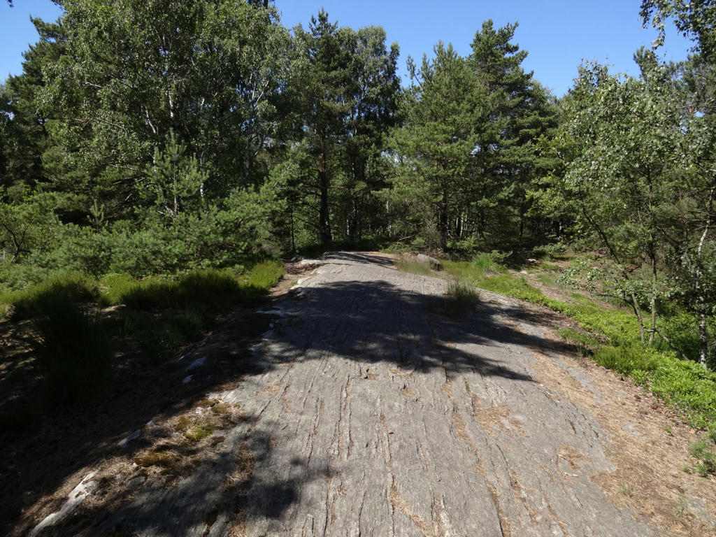
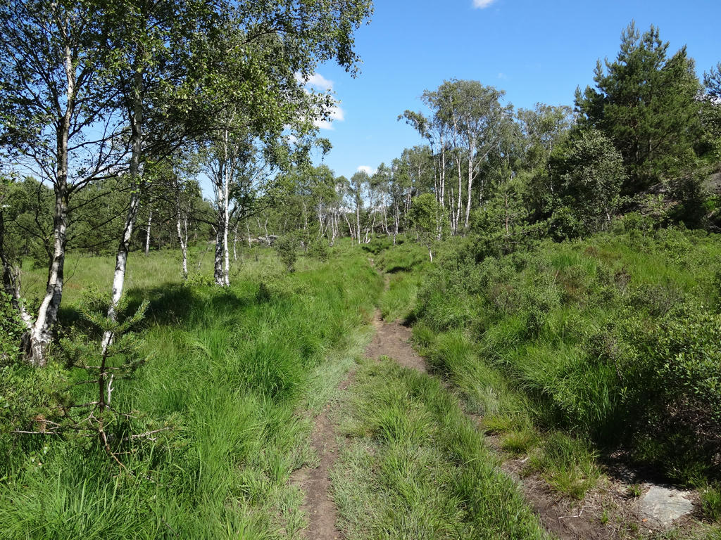
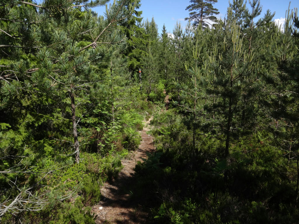
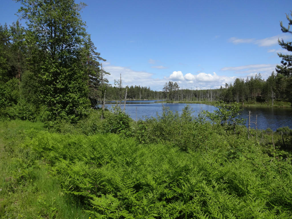
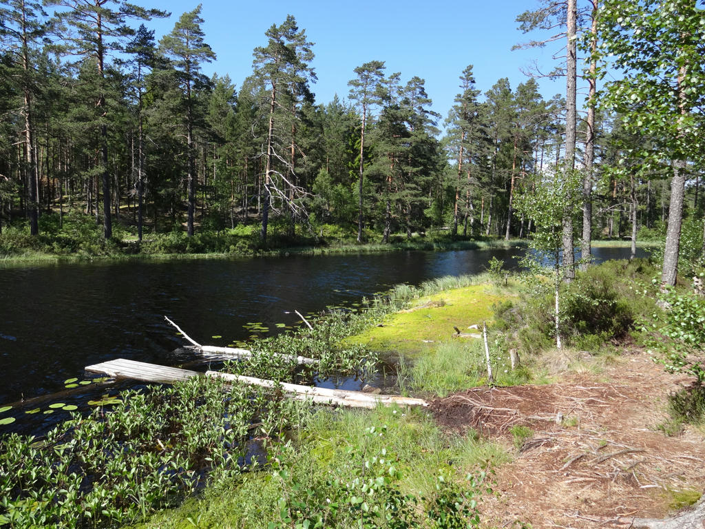
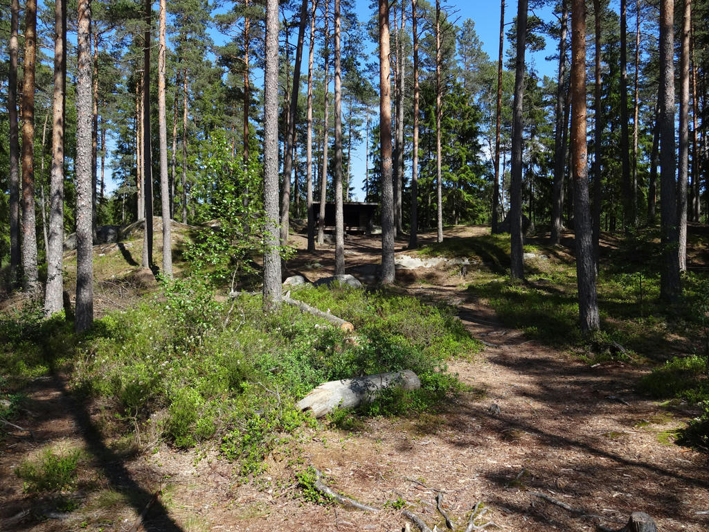
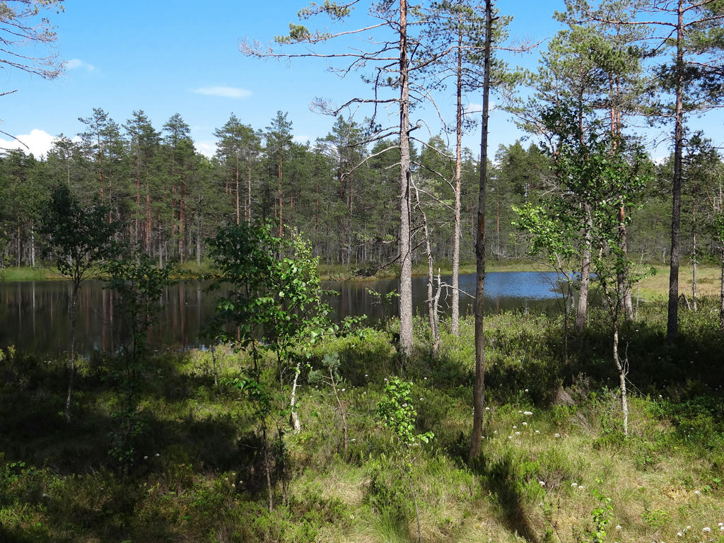
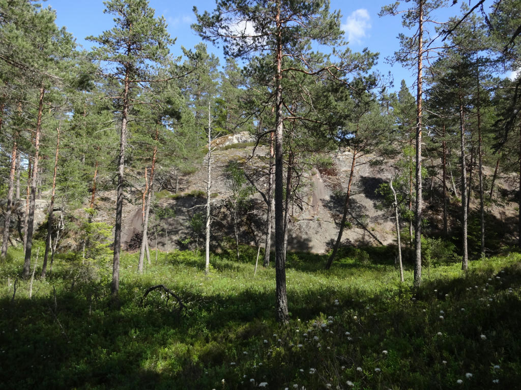
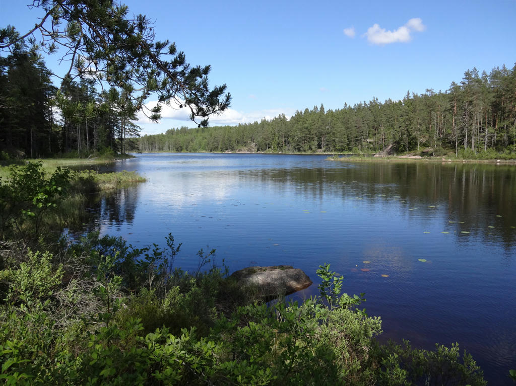
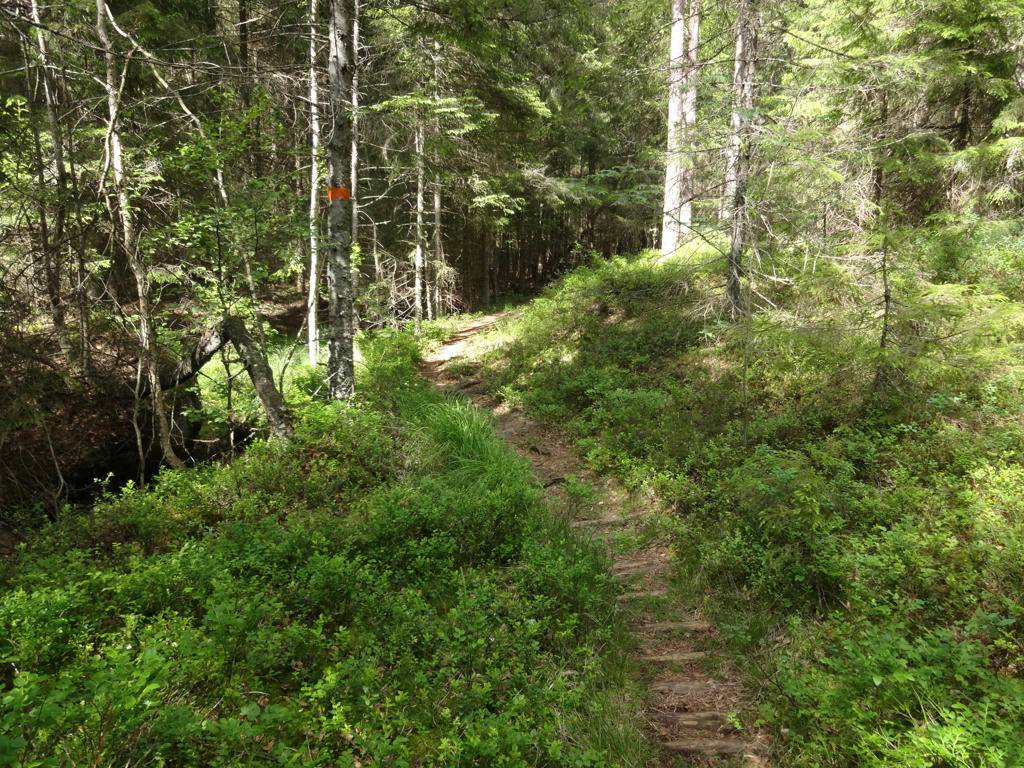
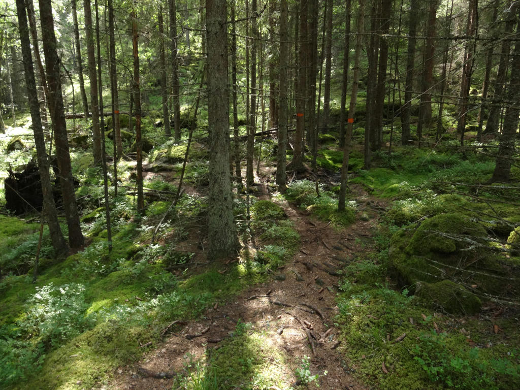
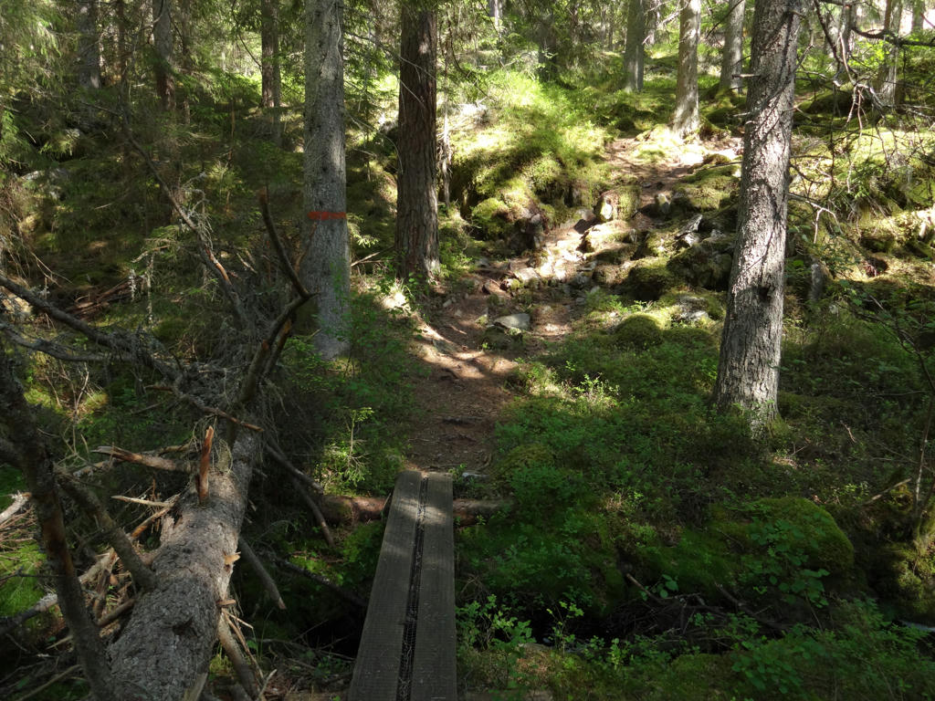
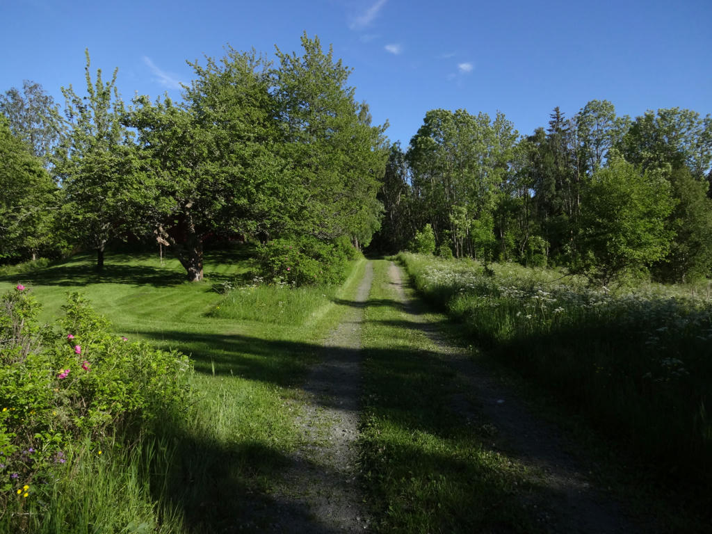
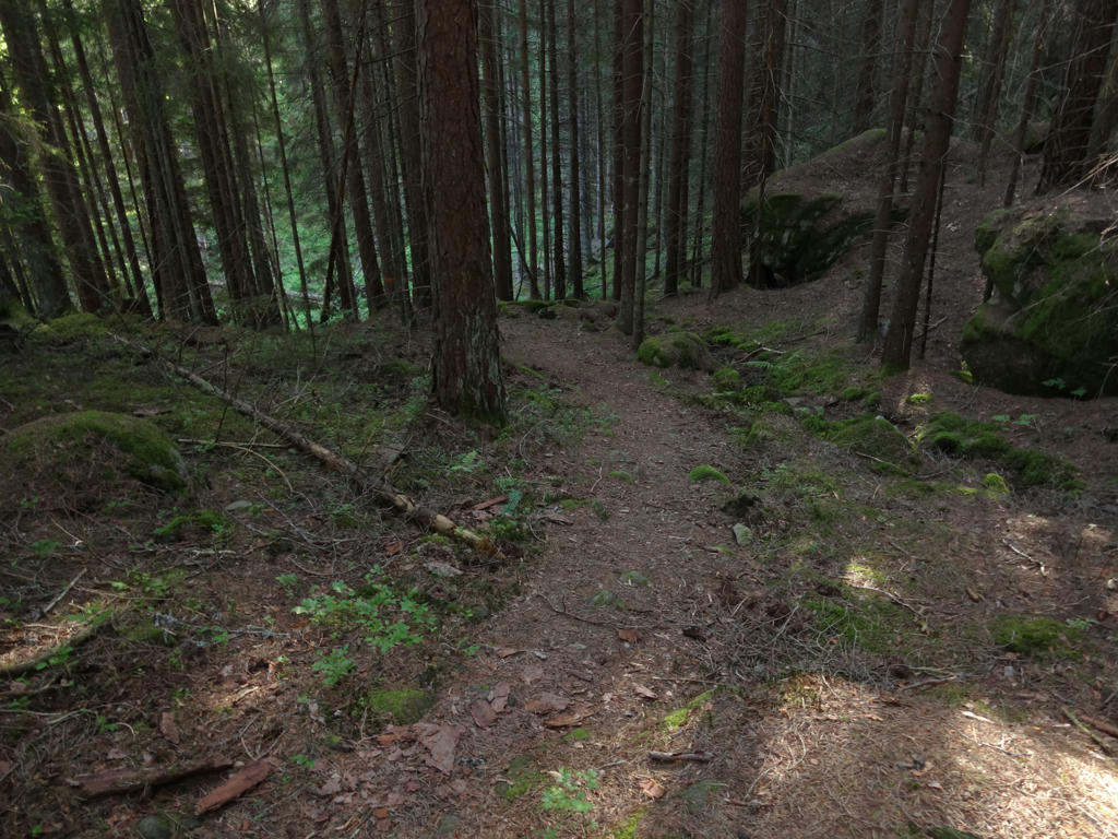
from Gråmon to Stenkällegården goes to some extent through beautiful fine sand forests (which is one of the characteristic forest types in Tiveden). The character of the terrain changes a bit after Stenkällegården and seems to be dominated by regular coniferous forests and mixed forests. In either case there are plenty of small but beautiful lakes on the path. Overall it was a long but easy walk as the terrain wasn't demanding in terms of height variations, however the walk went for the most part on footpaths and some of the footpaths were narrow and had plenty of obstacles (such as rocks and roots), thus slowing down the walk a bit. In either case it was an interesting and beautiful walk, probably among my favorites actually.
Enjoy the photos!
1.
2.
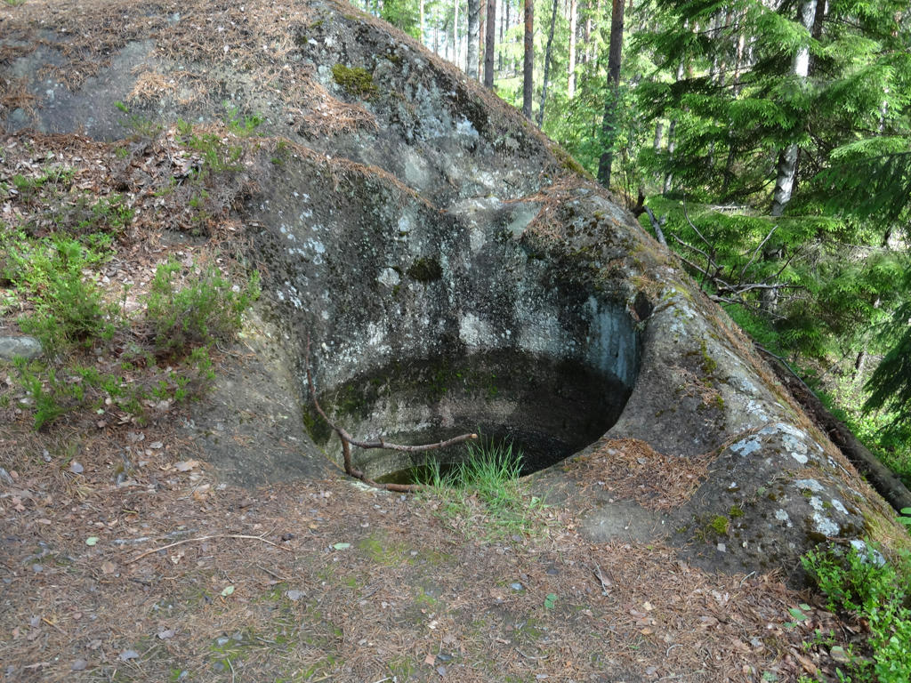
"Giant's cauldrons
This giant's cauldron was discovered during a tree felling when a spruce was found that was rooted in the cauldron itself. Tived's Local History Society dug out the cauldron in 1968.
Melting water from the surface of several kilometers thick inland ice ran down in vertical cracks in the ice. Vertical waterfalls hit the ground with tremendous force. At first perhaps there was an indentation in the ground with one or two stones in it. These stones were set into rotation by the cascading water and they began to 'drill down' into the ground. Stones that were worn out were replaced by others and the drilling continued. When a giant's cauldron is found, it is usual to find the last stone that is not worn out in the bottom. Such stones are called runners or running stones.
The name 'giant's cauldron' comes from the old folklore that maintained that the cauldron was used by a giant for cooking. Another name is 'ice river cauldron'. In Degerfors, some miles from here, lies Sveafallen's nature reserve. It has a large number of cauldrons of varying sizes. The deepest is about 6m deep with a diameter of about 2m."
Sharpened the photo slightly using unsharp mask.
3.
Brightened the photo slightly using the levels tool.
4.
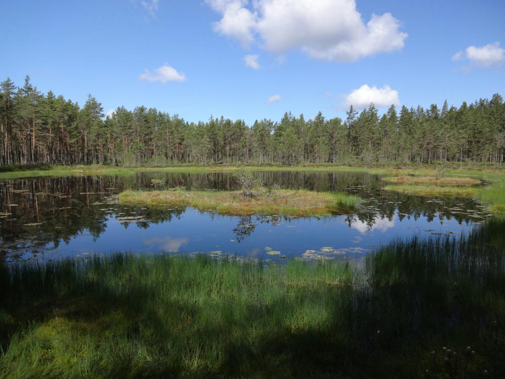
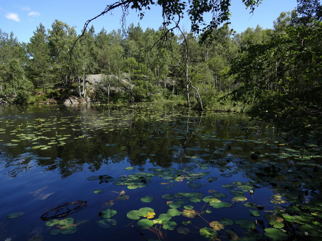
"Tvättärnarna
The two Tvättärnarna are typical of the small forest tarns that are common in the Tived forests. In Tiveden, they say 'tärn' and not 'tjärn' as the rest of Sweden.
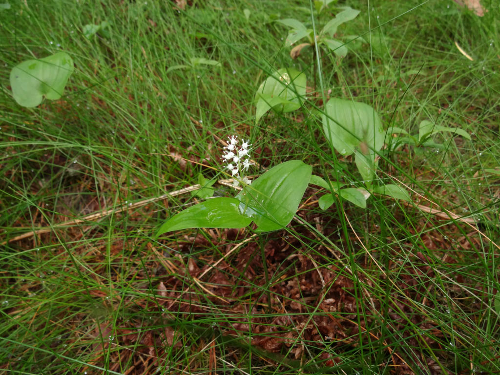
In the lake to the south of the Tiveden road, one can see a number of floating islands. The plant that grows profusely between the trail and the road is marsh tea and in Närke, it is also called bog myrtle.
The most well known tarn in Närke is Fagertärn, which is not more than 5 km from here as the crow flies. Fagertärn is the county's most well visited nature reserve and thousands of tourists and local people come here every year to see the red water lilies.
The red water lilies were discovered by Bernhard Agaton Kjellmark on a visit to Aspa in 1856. He reported his discovery in scientific circles. The rumours about the unusual water lilies spread fast and the result was a ruthless looting of the lilies. Since 1905, all water lilies have been protected by law in a decree from the governor of Örebro county."
Sharpened the non-sky parts slightly using unsharp mask.
5.
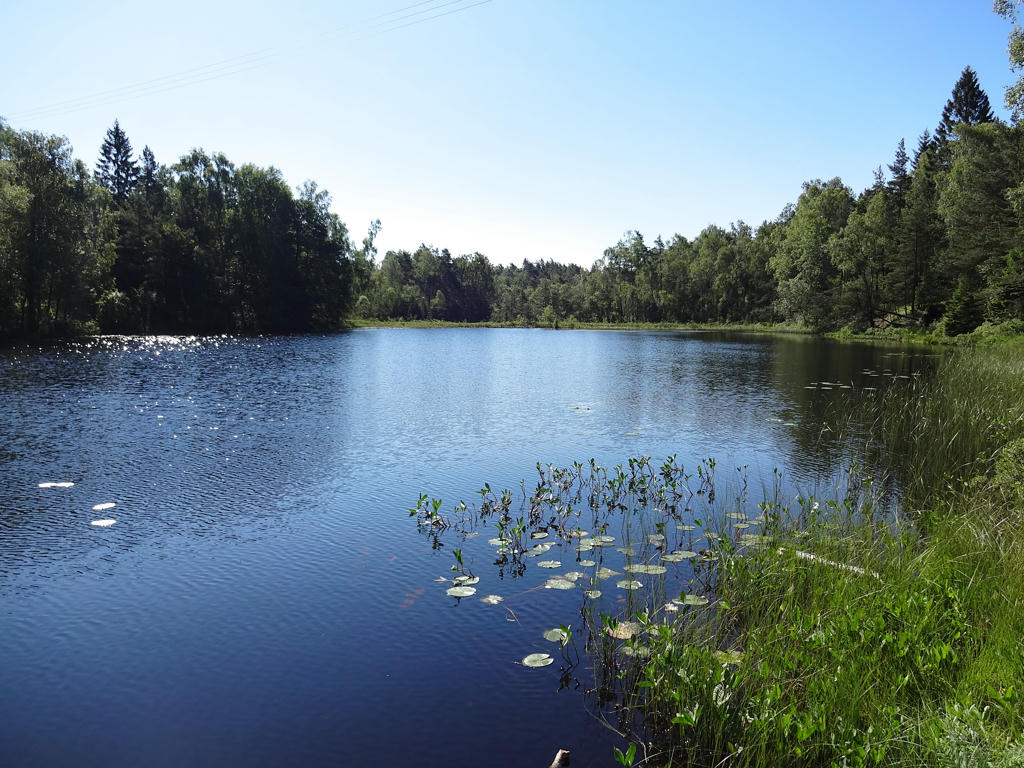
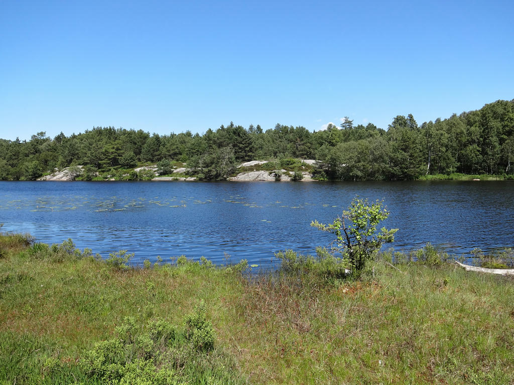
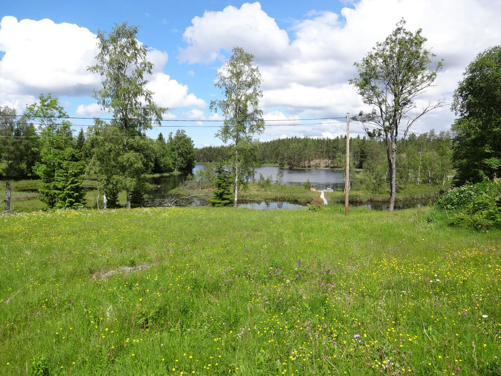
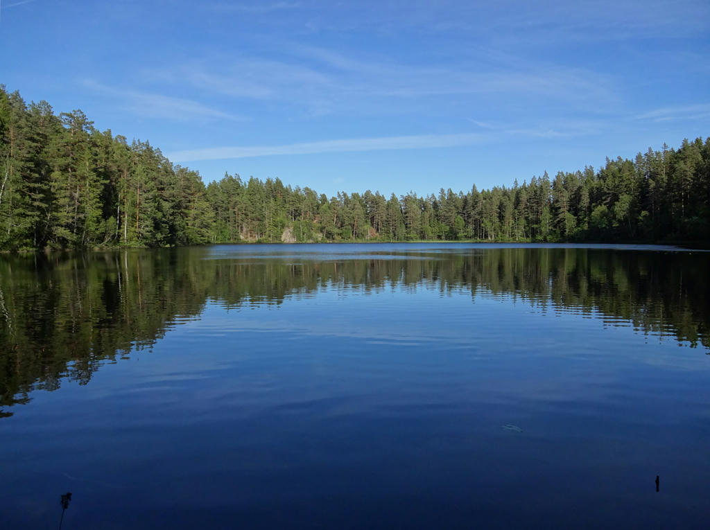
Bosjön
6.
Bosjön. Sharpened the non-sky parts slightly using unsharp mask.
7.
8.
Darkened the sky using the levels tool. Also used the hue restorer plug-in to remove the cyan-ish sky color.
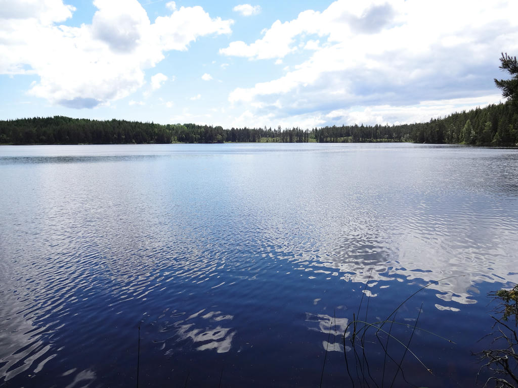
9.
Mövattnet. Darkened the sky using the level and curves tools. Then I used the hue restorer plug-in to remove the cyan-ish sky color. Finally I increased the contrast slightly for the non-sky parts using the Brightness-Contrast tool.
10.
11.
Kråksjön. Darkened the photo slightly using the levels tool.
12.
Stålvattnet. Darkened the sky slightly using the levels tool. I also brightened the non-sky parts slightly using the curves tool. Finally I also sharpened the non-sky parts using unsharp mask.
13.
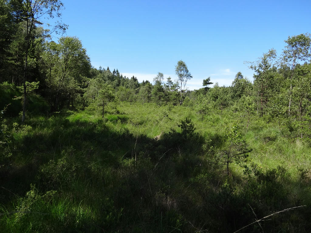
The bog Ekefallsmossen.
14.
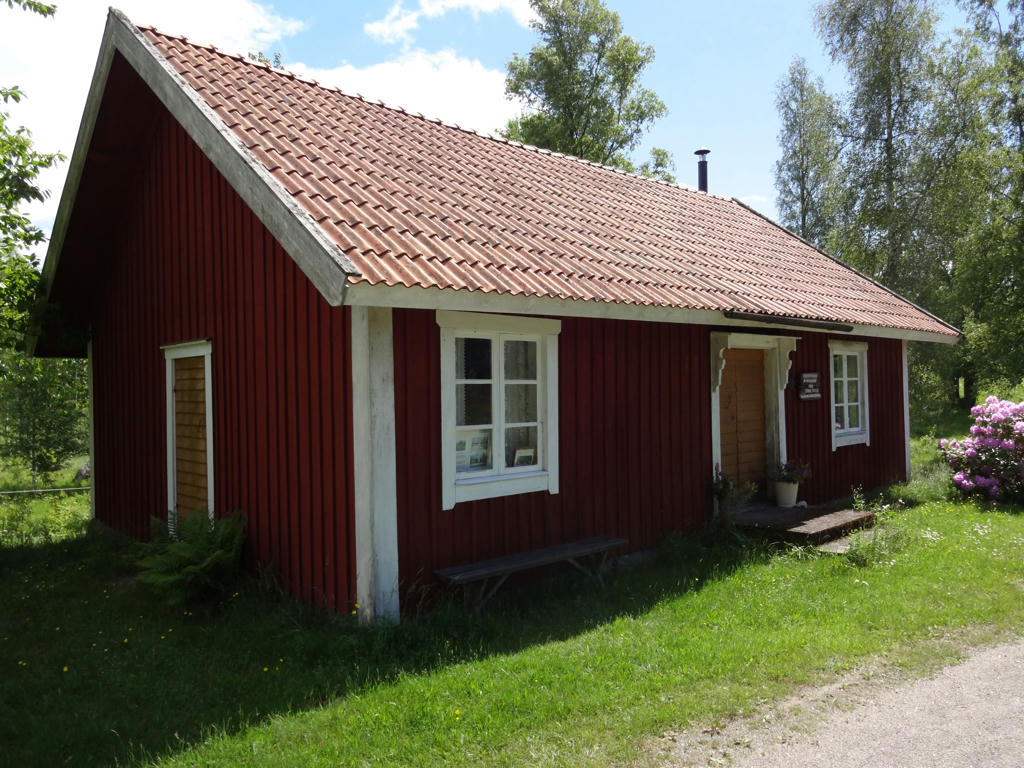
"Mission house
Before the great emigration to America in the 1860s in Tivedstorp, there were about 20 households with a total of one hundred people. There was a great need for a mission house. The income from a charcoal stack operated by three brothers called Persson was the first investment for this chapel. The mission house was built by the master builder Viktor Nilsson and was opened in 1880. Eighty households were members of the parish
In spite of the poor road, the influx of people visiting the Tivedstorp mission house in the 1950s was so large that the number of services had to be doubled. A great attraction was pastor Oskar Sarve, who preached in a very strong Närke dialect. In the middle of the 1880s, the free church revival was very strong in the Örebro County, which led to mission houses and chapels being built as the Swedish Church did not allow revival meetings on its premises. New building was especially intensive from the 1870s and up to the turn of the century in 1900.
These buildings were usually put up by volunteers with very limited financial resources. Out in the country, they were of a very simple and unpretentious design with obvious adherence to local building tradition. The mission house has an unusually well preserved, original character; the best older mission house interior in the country. The exterior has changed on only one occasion; in the year 1931, when facade panels were fitted onto the original timbered building. The original Tivedstorp mission house was designated an official building of historical interest in 2005."
Used the hue restorer plug-in to reduce the cyan-ish sky color. Also darkened the sky slightly using the levels tool.
15.
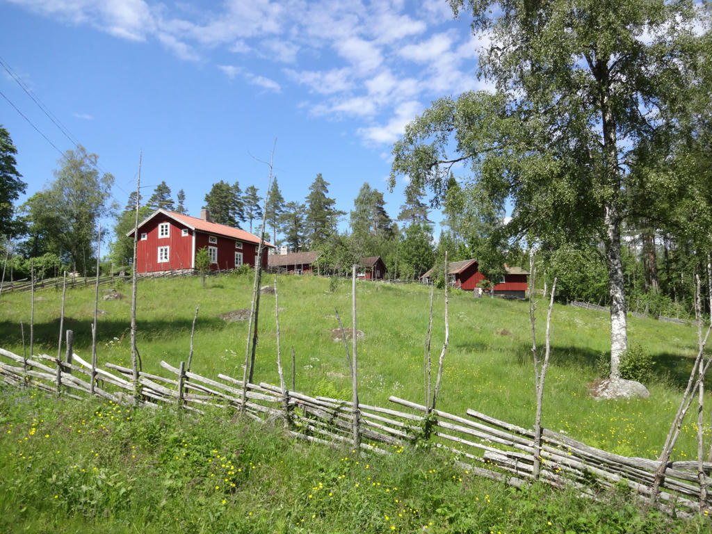
Tivedstorp
The village Tivedstorp is one of the many typical farming villages in Tiveden stemming from the time of the colonization by Finns.
16.
Tivedstorp
17.
18.
Väster-Ämten
19.
Kölnavattnet. Used the hue restorer plug-in to remove the cyan-ish sky color.
20.
Used the hue restorer plug-in to reduce the cyan-ish sky color.
21.
Used the hue restorer plug-in to reduce the cyan-ish sky color. Also darkened the sky using the levels tool. Finally I sharpened the non-sky parts slightly using unsharp mask.
22.
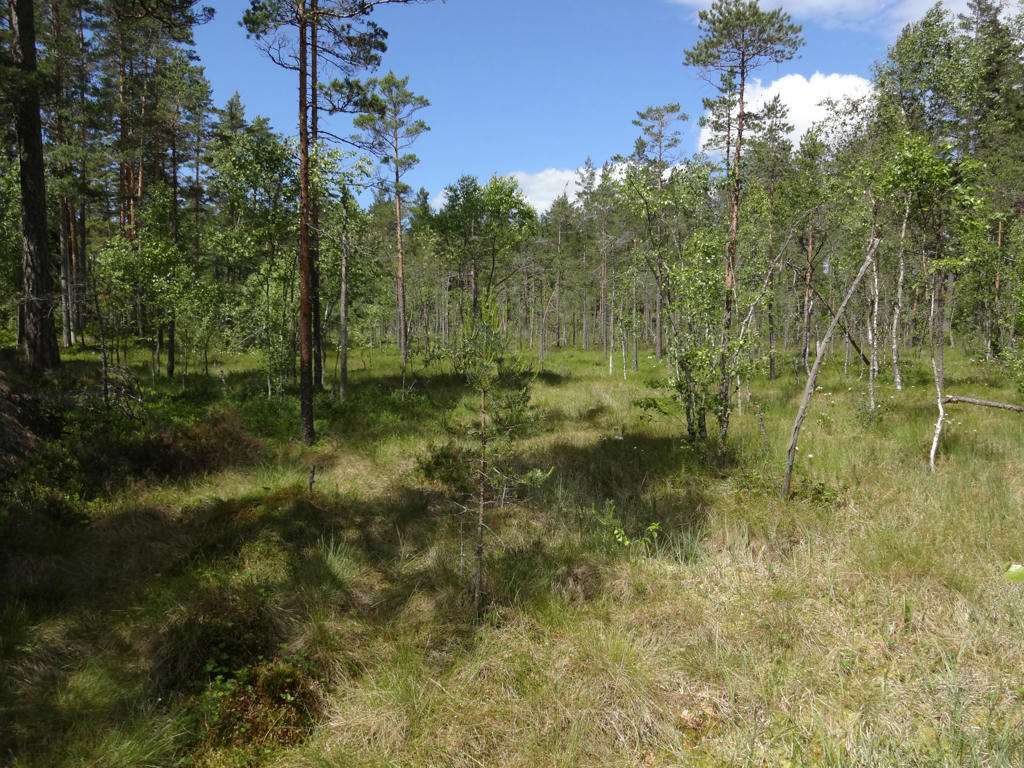
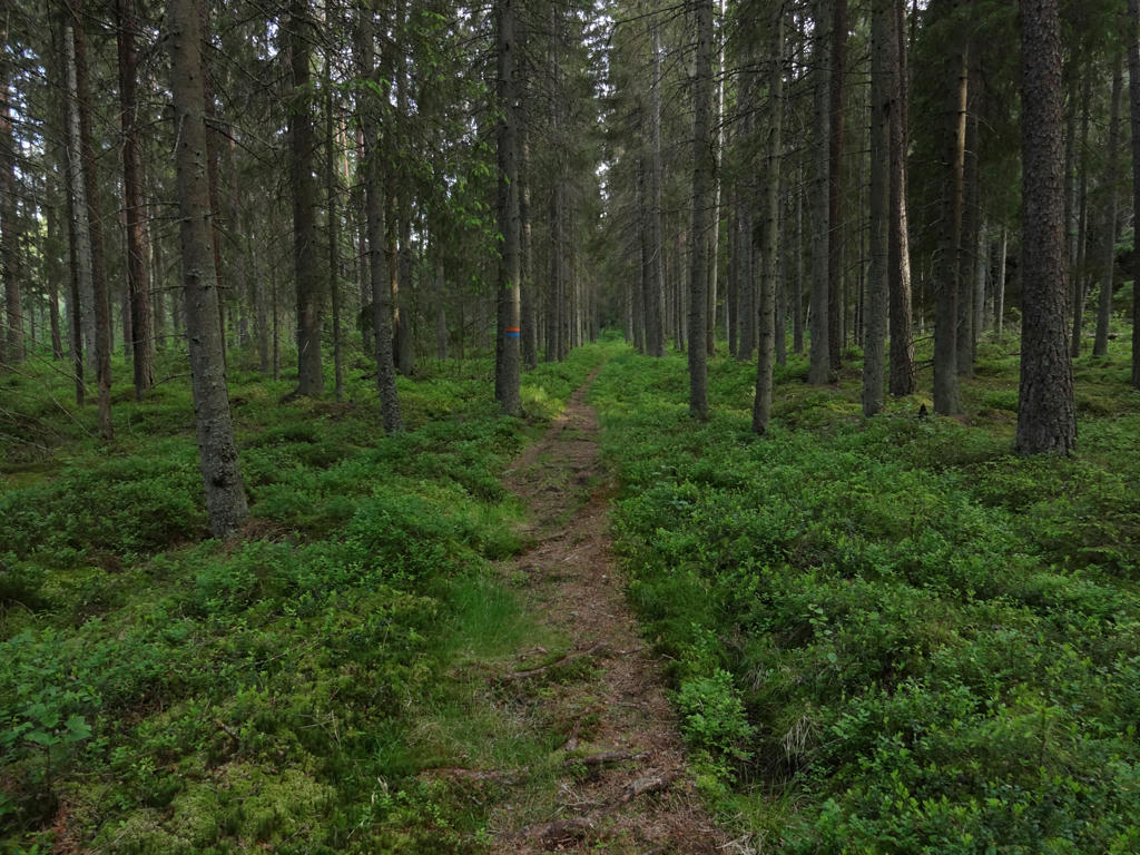
In Tiveden's national park.
23.
Sör-Ämten. Rotated the photo slightly and cropped it. Also used the hue restorer plug-in to reduce the cyan-ish sky color. Finally I sharpened the photo slightly using unsharp mask.
24.
"'Corduroy road'
The transport of timber, iron and charcoal in the old days was usually carried out using a horse. Where the route went over swampy ground it often had to be reinforced. Bunches of brushwood were laid down and on top of these logs were placed lengthways. The road itself was then built using round timber that was placed across and covered with shale or earth. Such a path is called a 'corduroy road'.
Because the timber was in water, the air has not been able to cause any decomposition. This means that the tree trunks lying across the path can be extremely old."
25.
In Tiveden's national park.
26.
In Tiveden's national park.
27.
Bocksjön
28.
Stenkällegården (camping, cabins, restaurant etc.)
29.
Spåndalen
30.
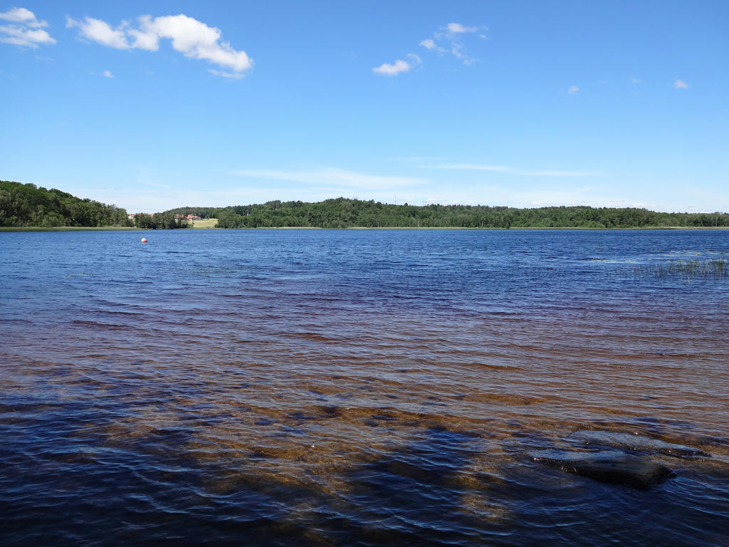
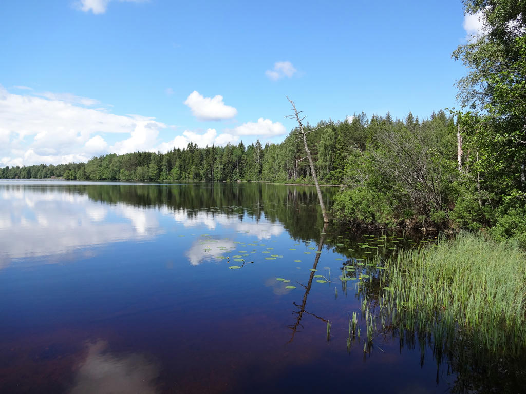
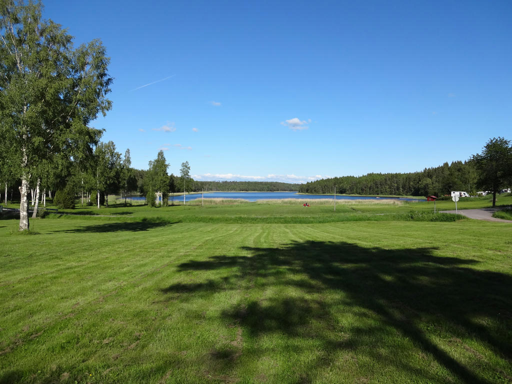
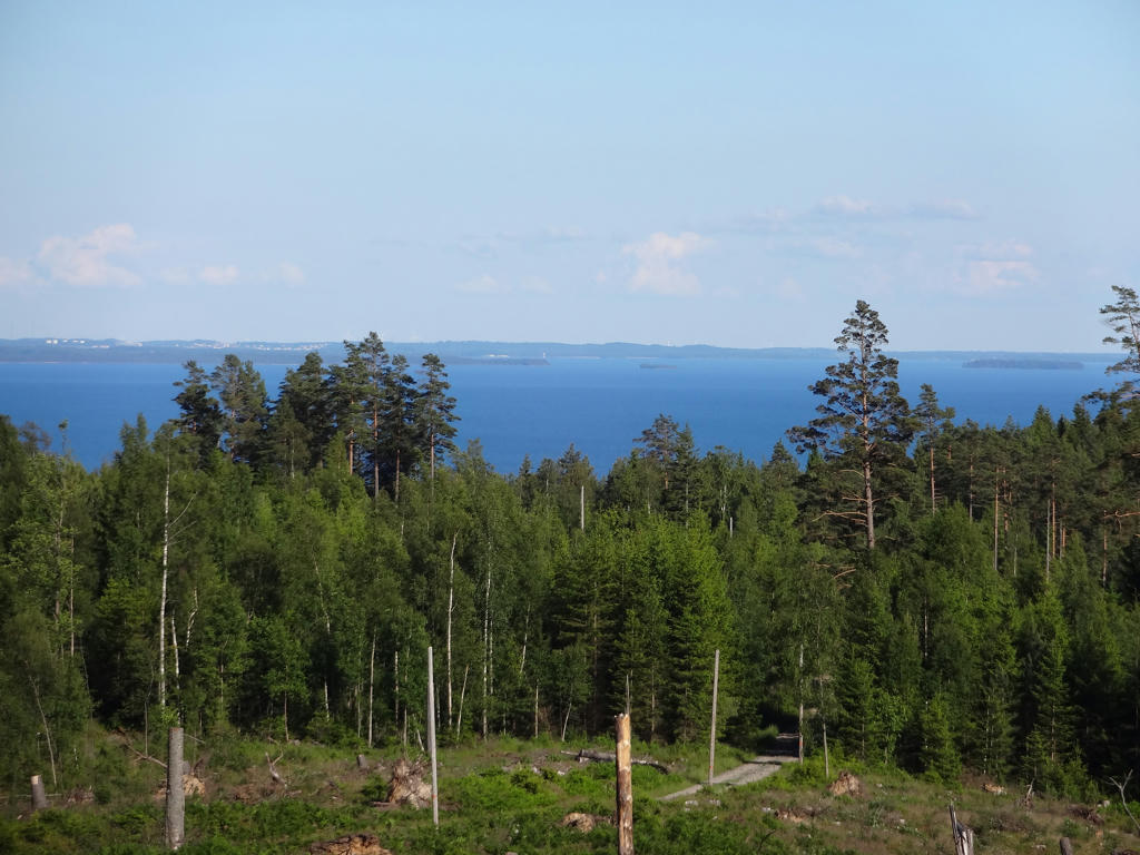
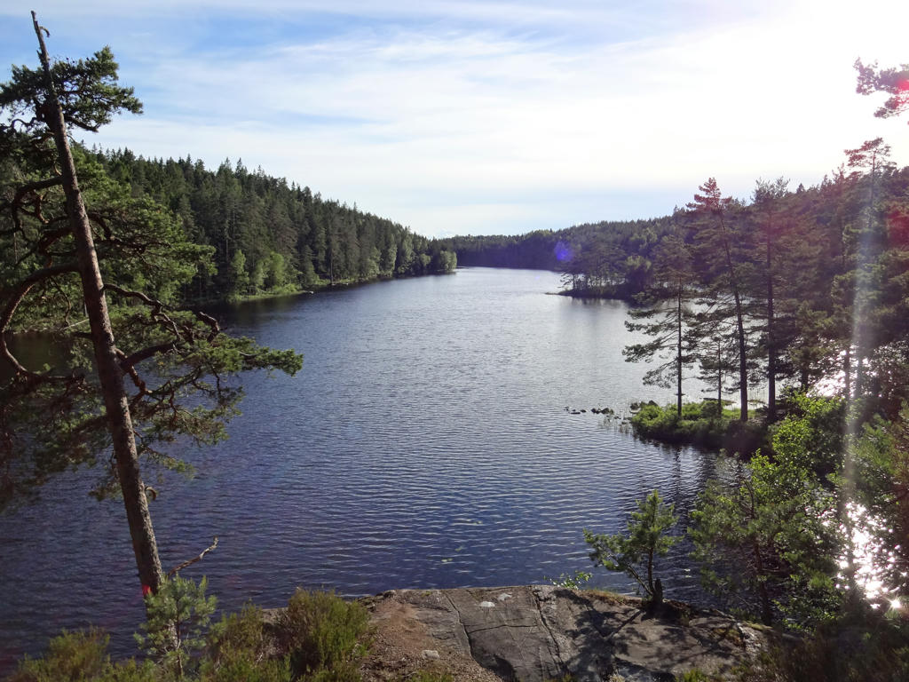
View of Vättern.
31.
32.
Kroksjön. Rotated the photo slightly and cropped it.
33.
Stora Djäknasjön. Darkened the sky slightly using the levels tool. Also increased the contrast slightly for the non-sky parts using the Brightness-Contrast tool.
34.
Långakärrsvägen
This road goes through a long (långt) marsh (kärr). Hence the name: Långakärrsvägen. This road was formerly used during wintertime to transport timber using horses. The modern forestry machines however are too heavy but on the other hand the road is an exciting nature trail.
Sharpened the photo slightly using unsharp mask.
35.
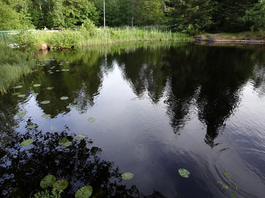
Sågdammen
In 1862 Sågdammen was embanked and a small lake was created as a result. Sågdammen functioned as a water store for the saw that lied in the southern end and for the furnace downstream. Sågdammen also became a storage place for timber that had been floated downstream the stream which connects to the chain of lakes going all the way to Unden.
Sharpened the photo slightly using unsharp mask. Also increased the contrast slightly using the Brightness-Contrast tool.