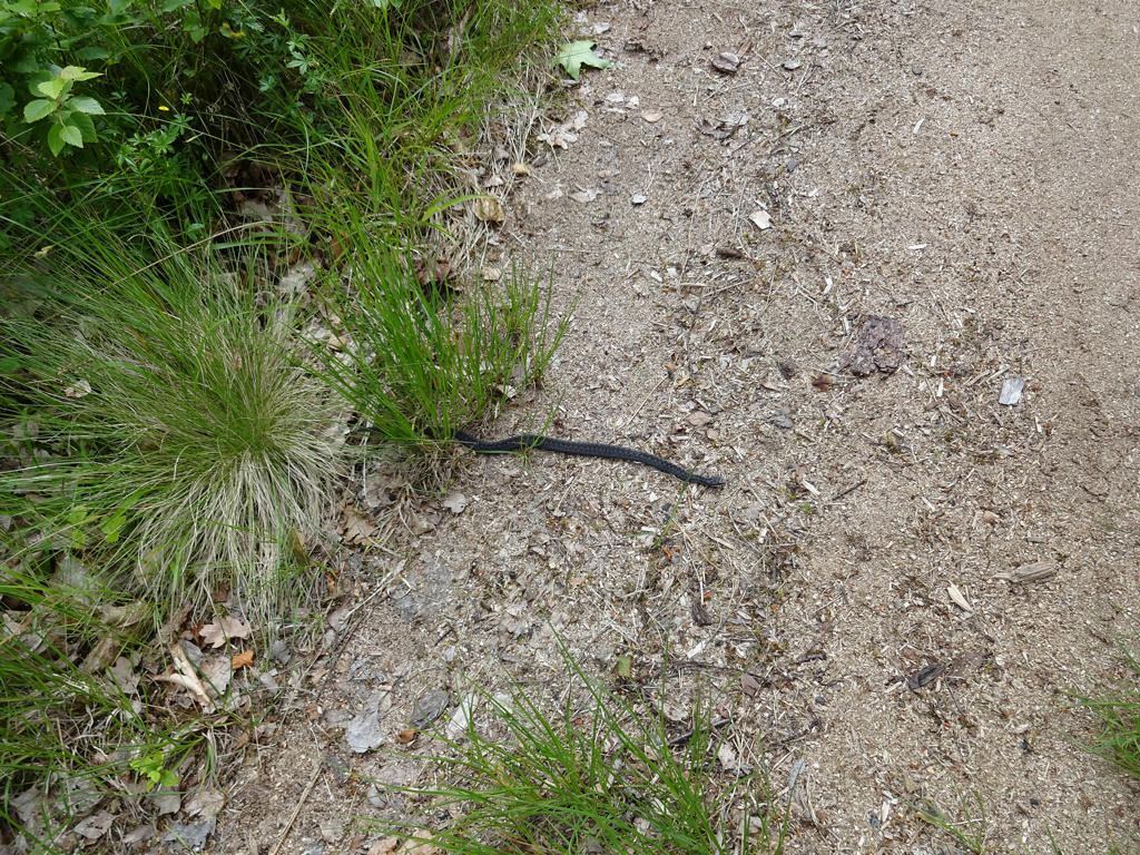
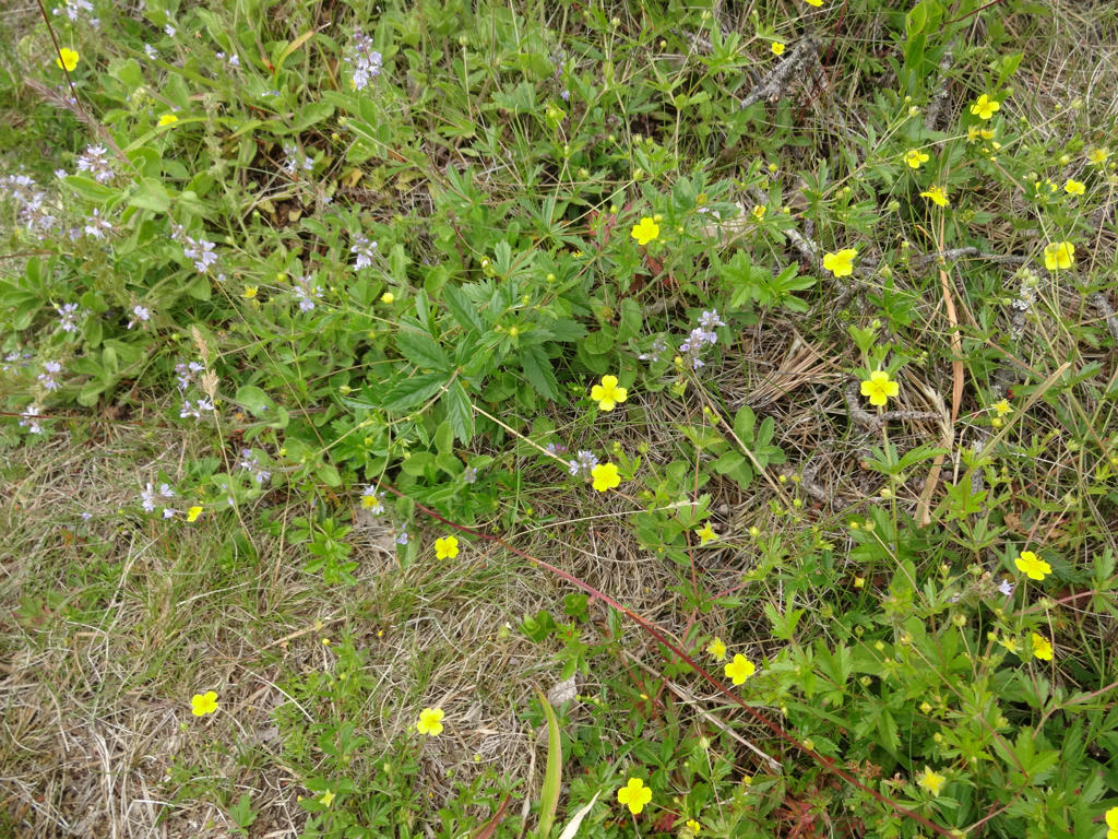
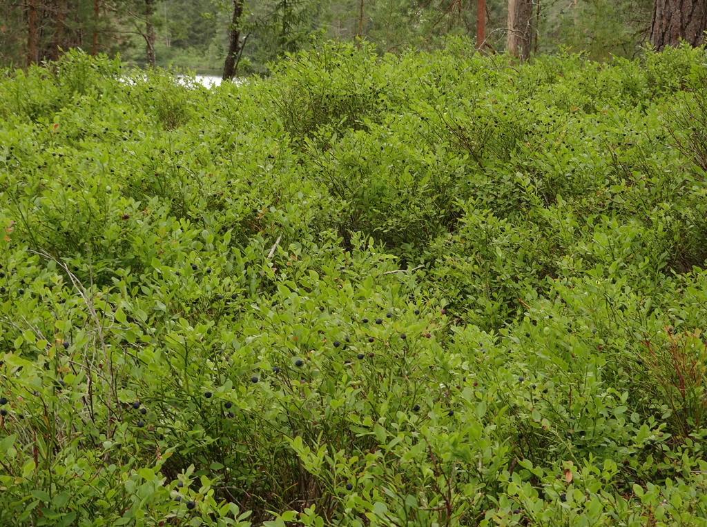
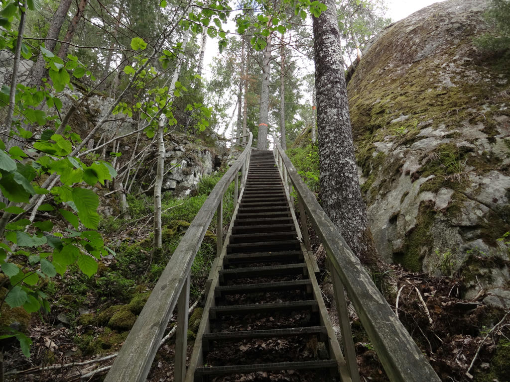
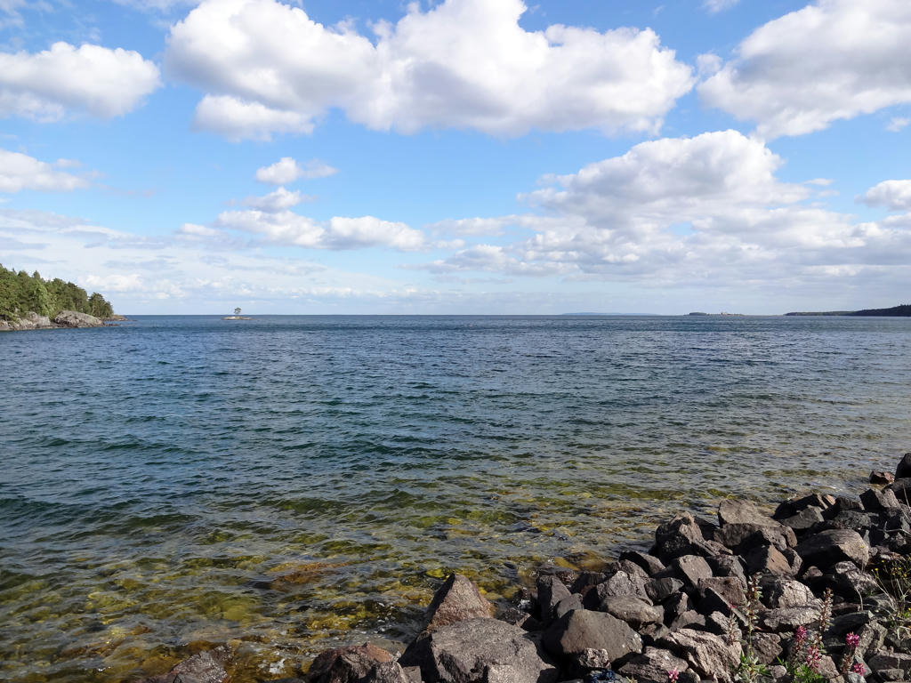
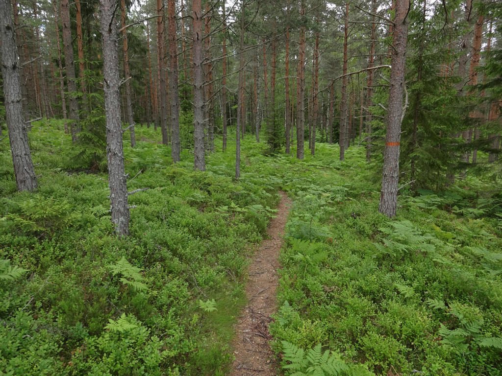
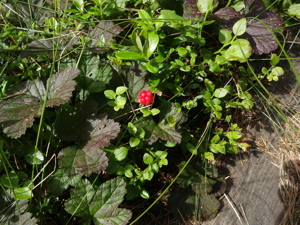
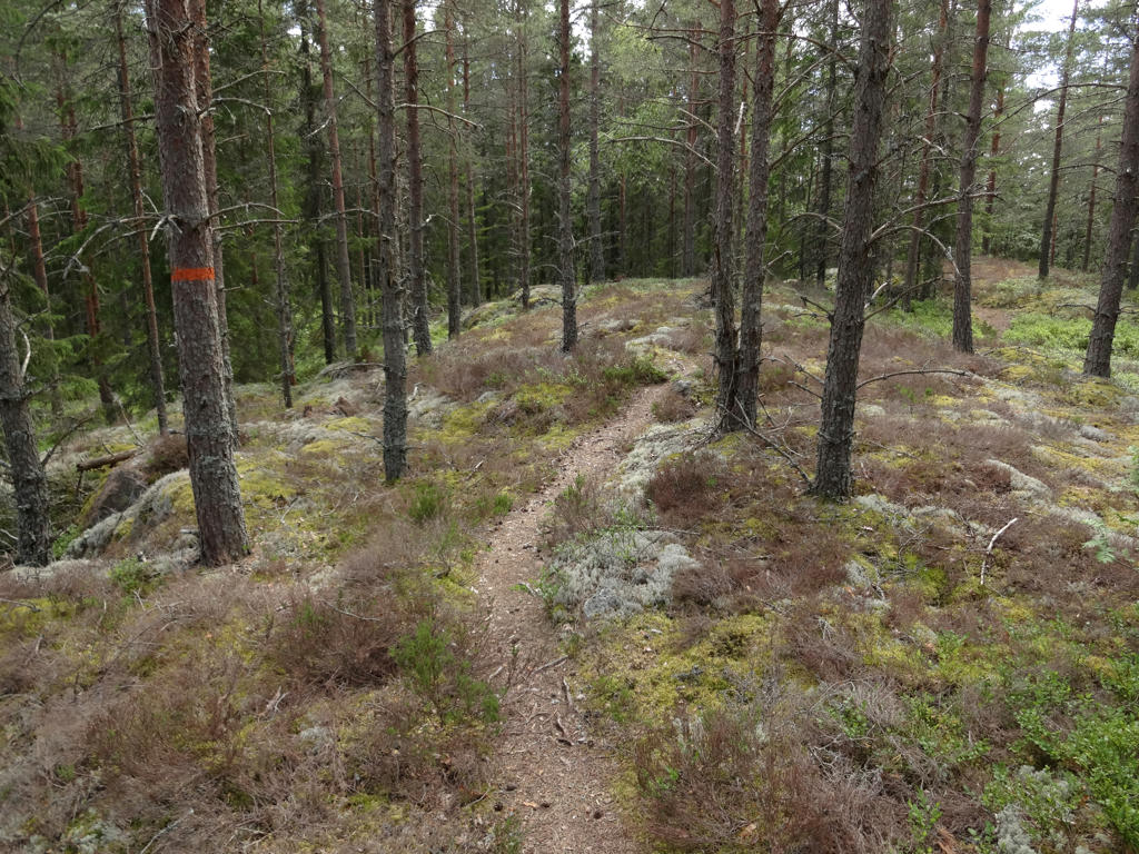
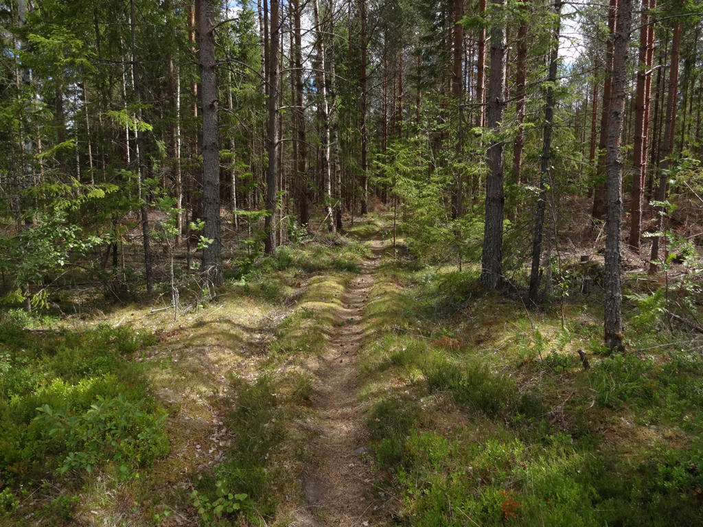
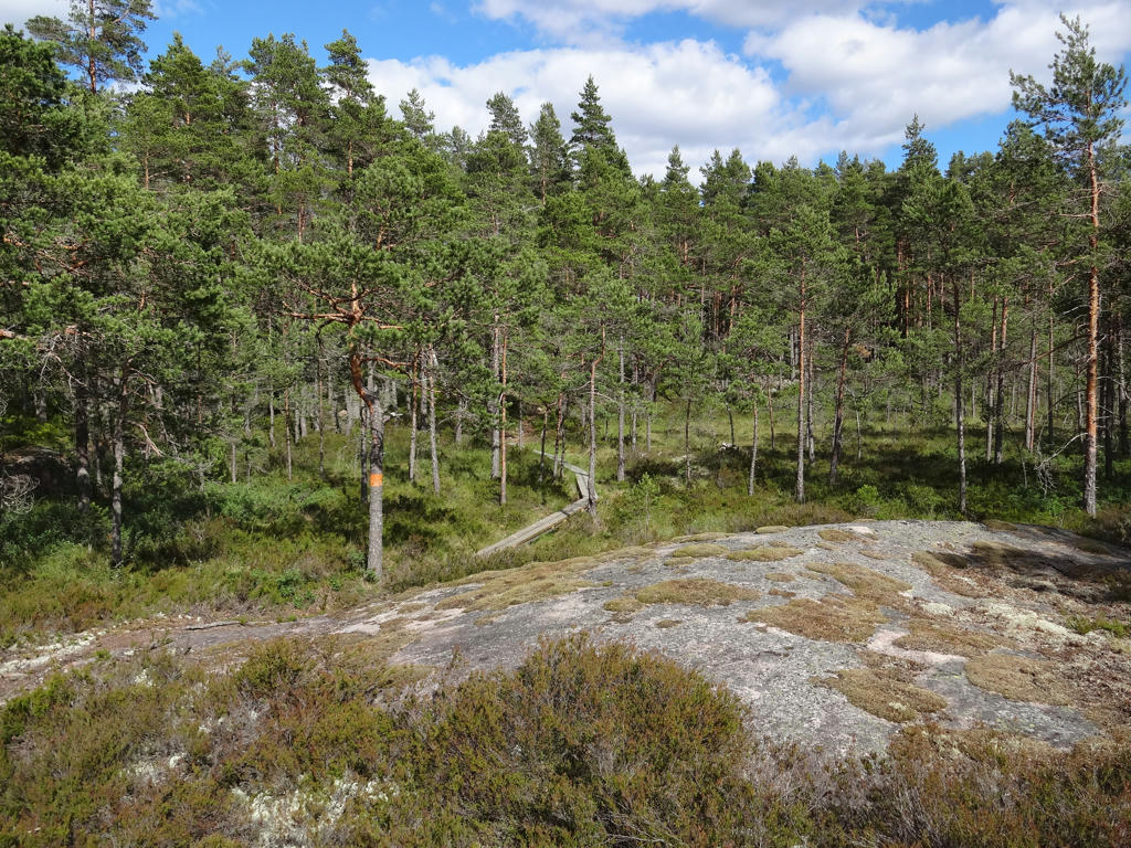
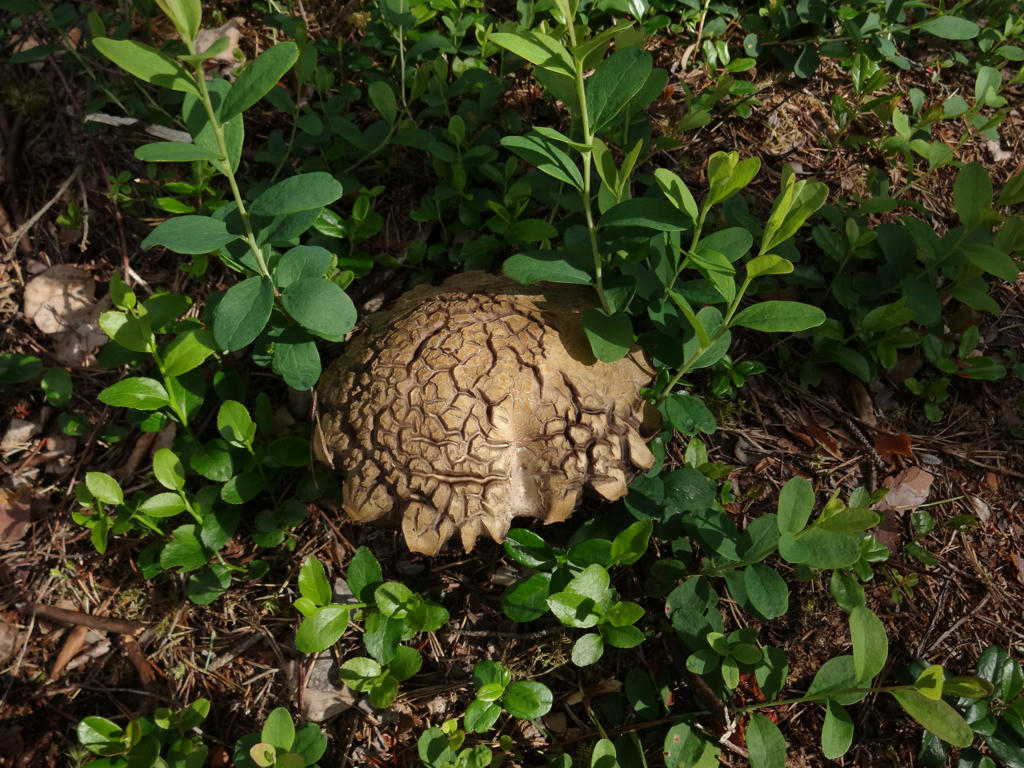
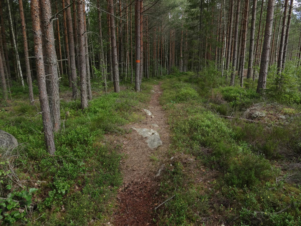
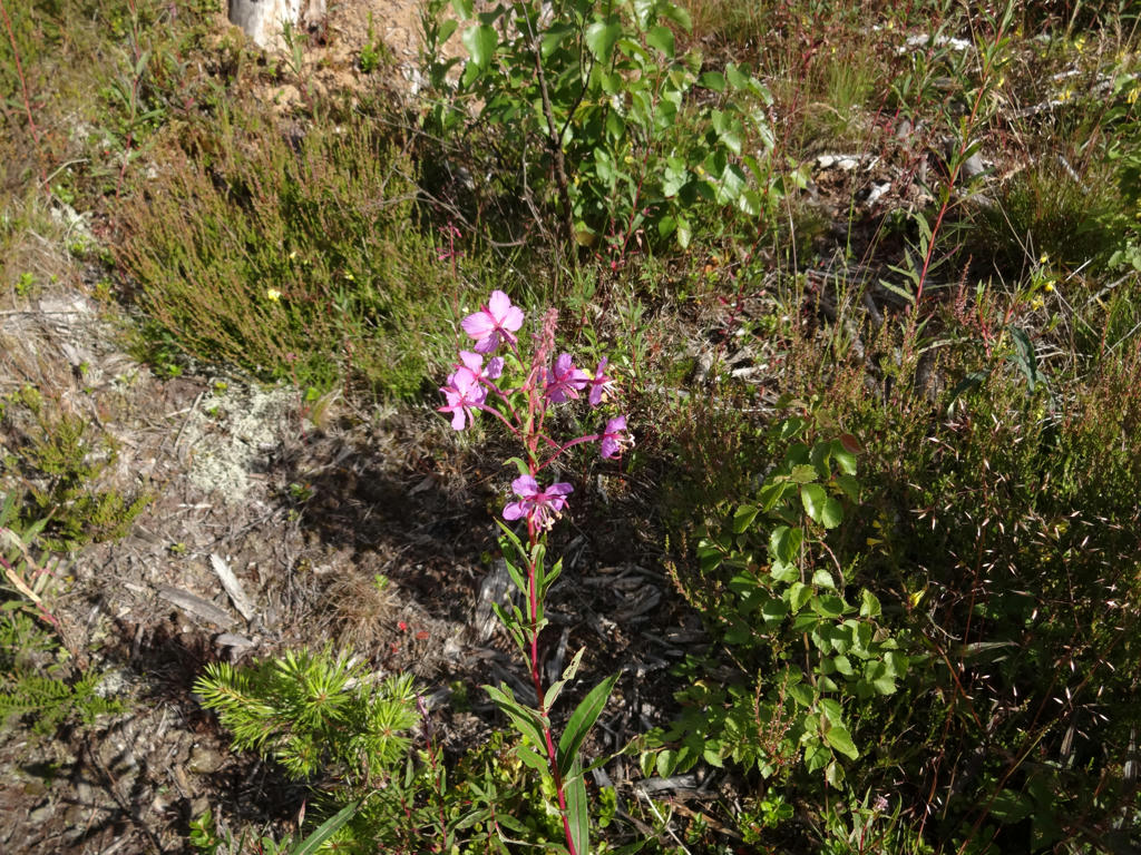
Overall it was a really interesting and enjoyable walk (might even be my favorite Bergslagsleden walk). The walk goes through beautiful forests (often fine sand forests (moskog/tallmo)) with plenty of low vegetation such as blueberry bushes, cowberry bushes, ling, fern, various forms of lichen and moss and even some raspberry bushes. There are also beautiful lakes and marshes/bogs on the path. Much of the walk goes through areas with low population but rather than a sense of desolation there's a sense of wilderness. Except for seeing a squirrel or two, I actually saw two foxes in close proximity, which was the first (and so far only) time I saw foxes during a walk (I have not yet encountered any lynx, beaver, wolf, bear or boar during a walk). The walk goes to a large extent on footpaths (which partially explains why I walked so slow but the main reason was once again because I wanted to take many photos and didn't want to rush things) and the rest goes on gravel roads. Finally it can be noted that the weather was nice. It was warm and mostly sunny. I did however get wet shoes in the beginning of the walk especially due to all the low vegetation still being wet (I started the walk in the morning).
Enjoy the photos!
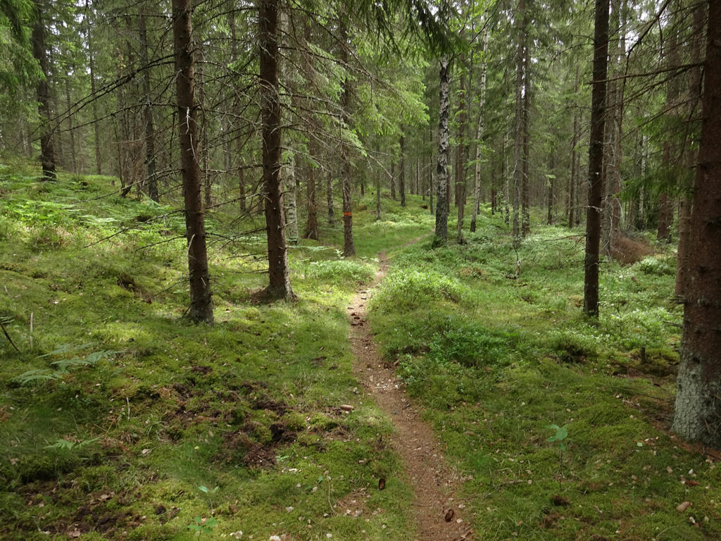
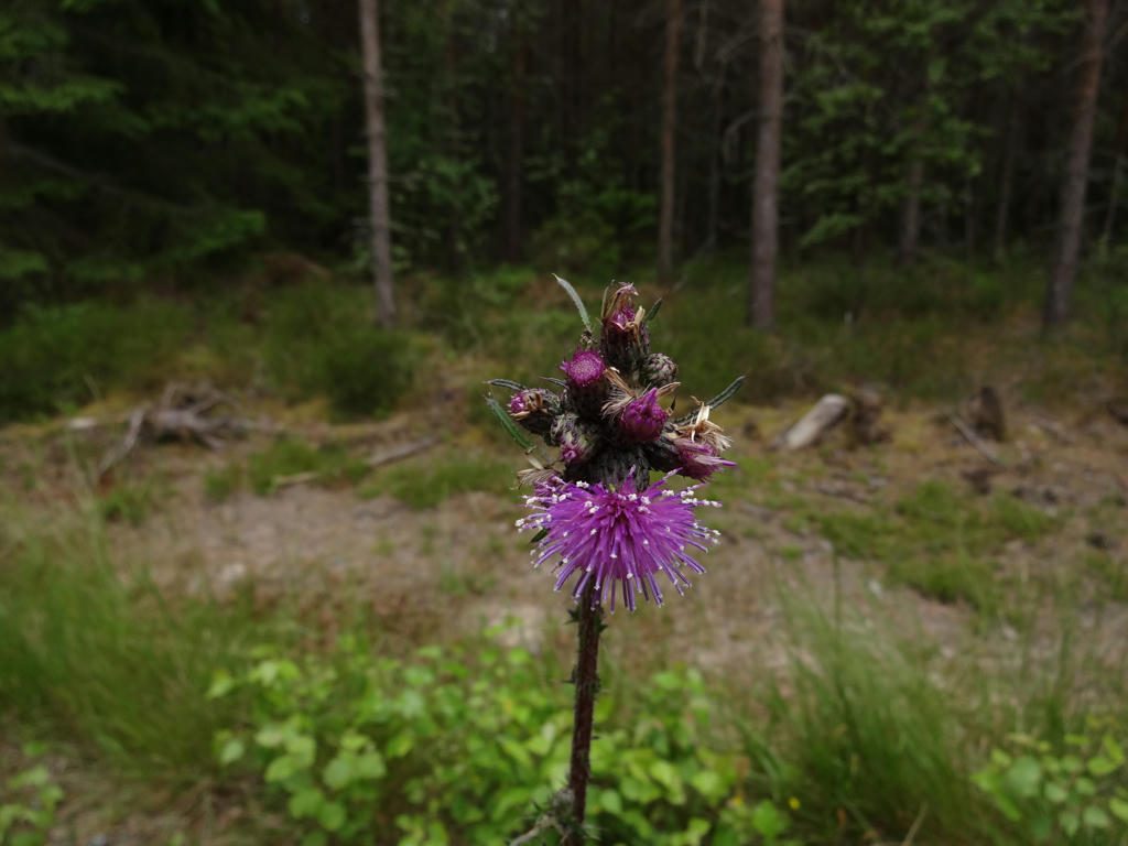
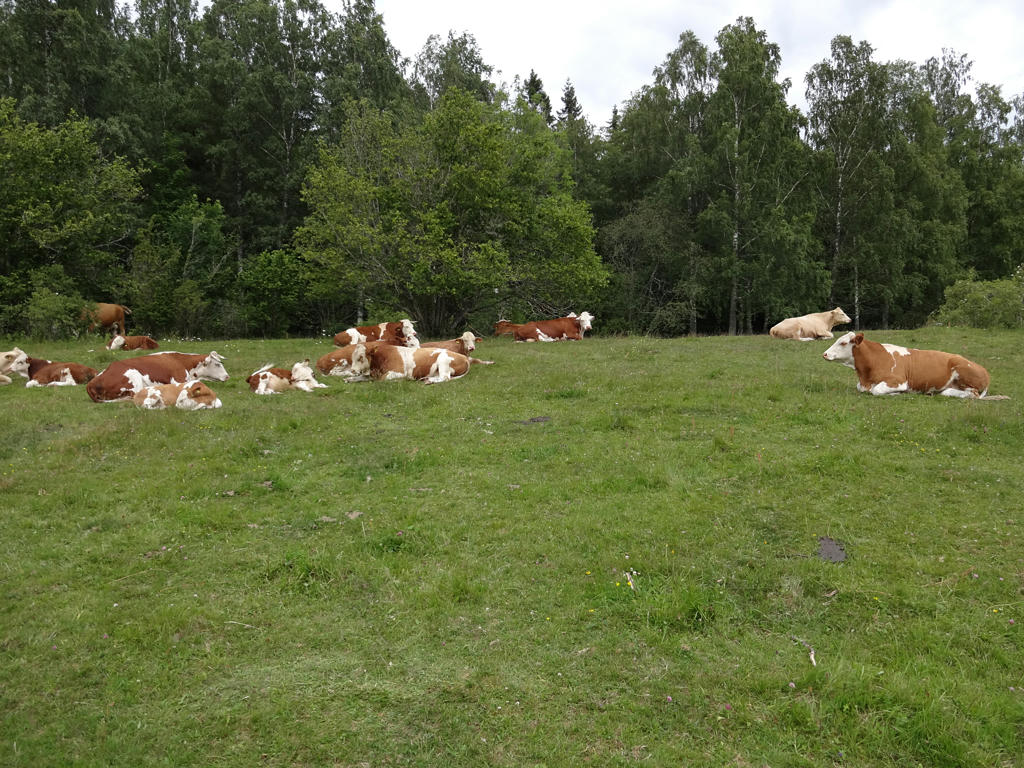
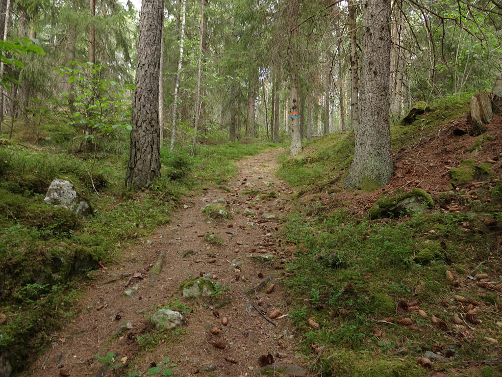
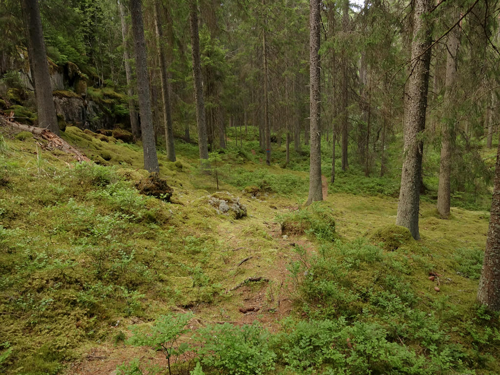
1.
Increased the contrast slightly using the brightness-contrast tool and then I sharpened the photo slightly using unsharp mask.
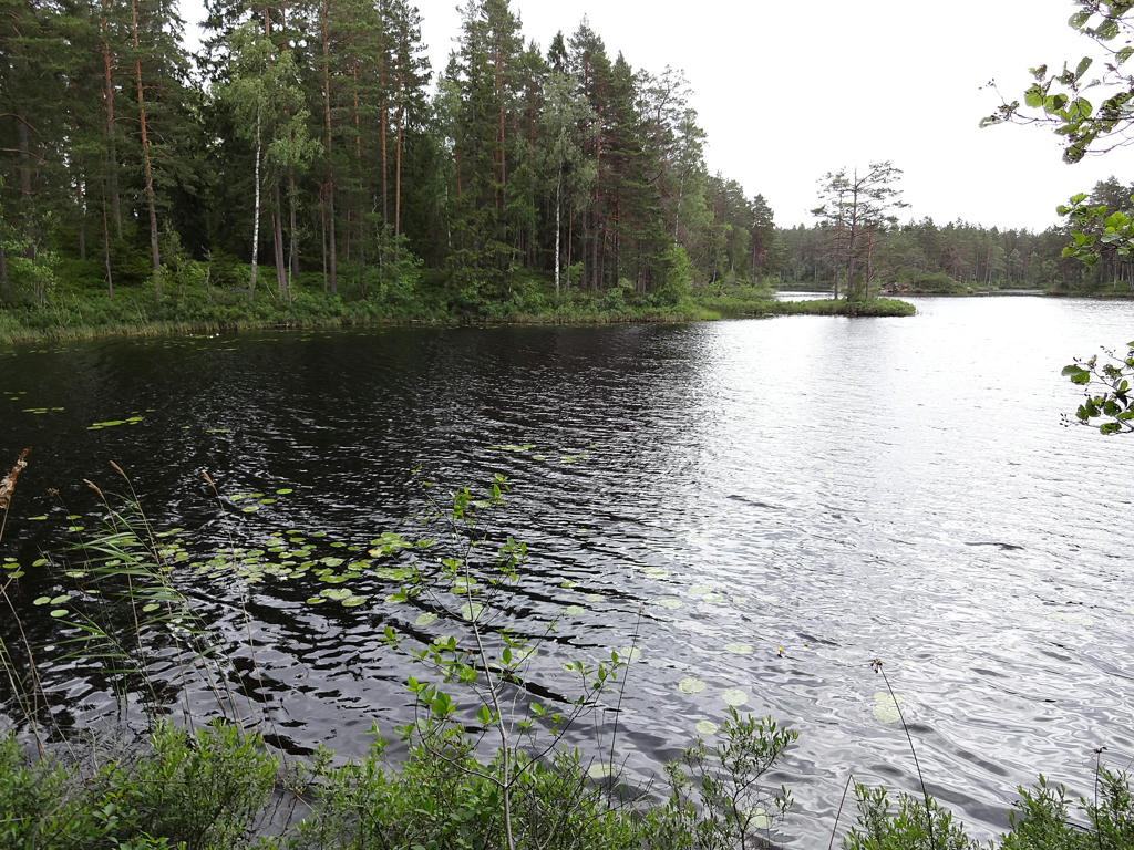
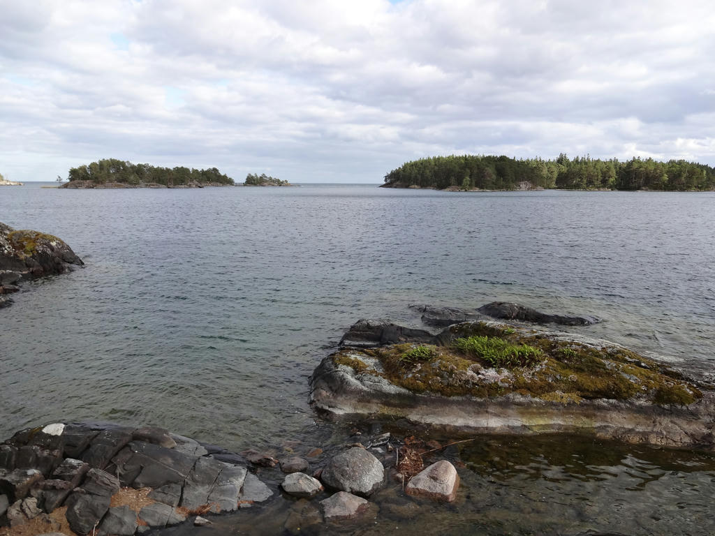
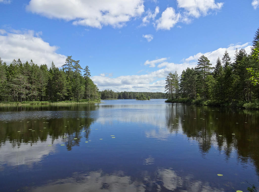
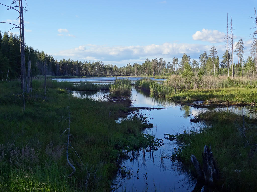
2.
Norra Holmsjön. Rotated the photo slightly and cropped it. Also used the hue restorer plug-in to reduce the cyan-ish sky color.
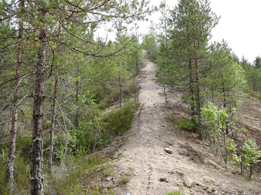
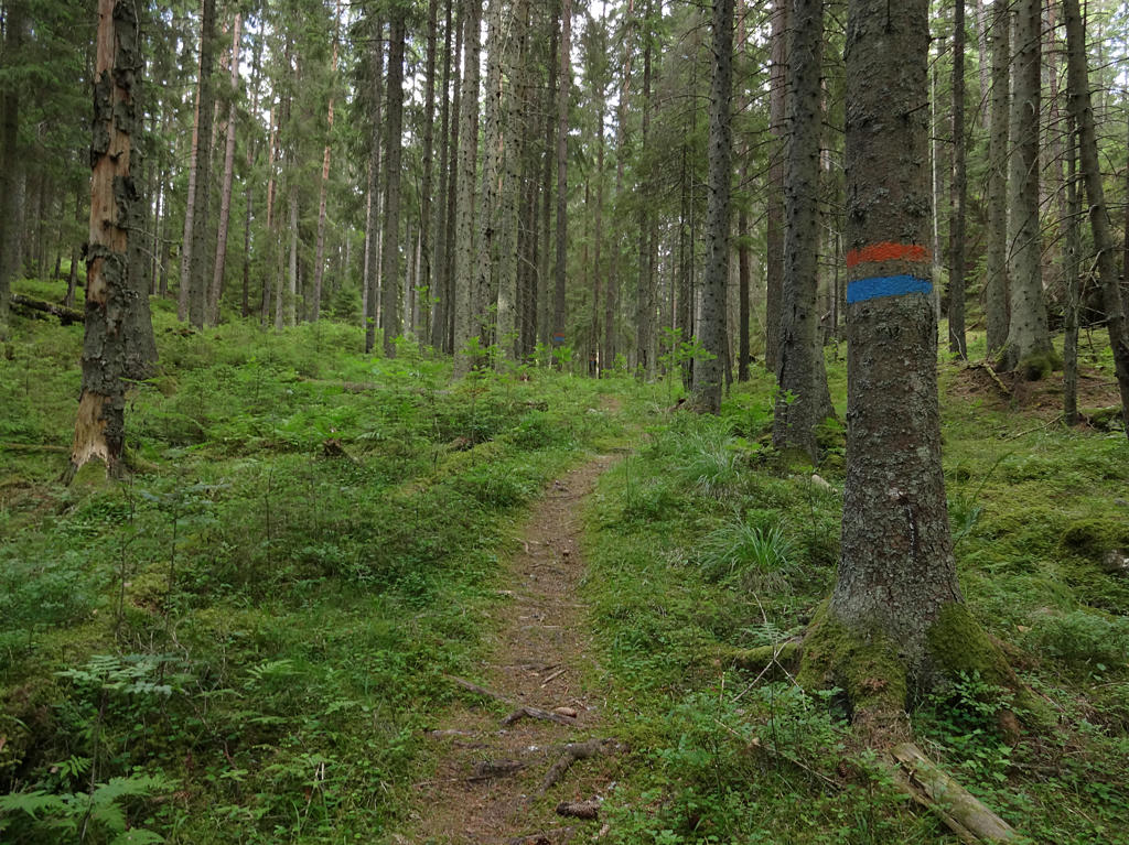
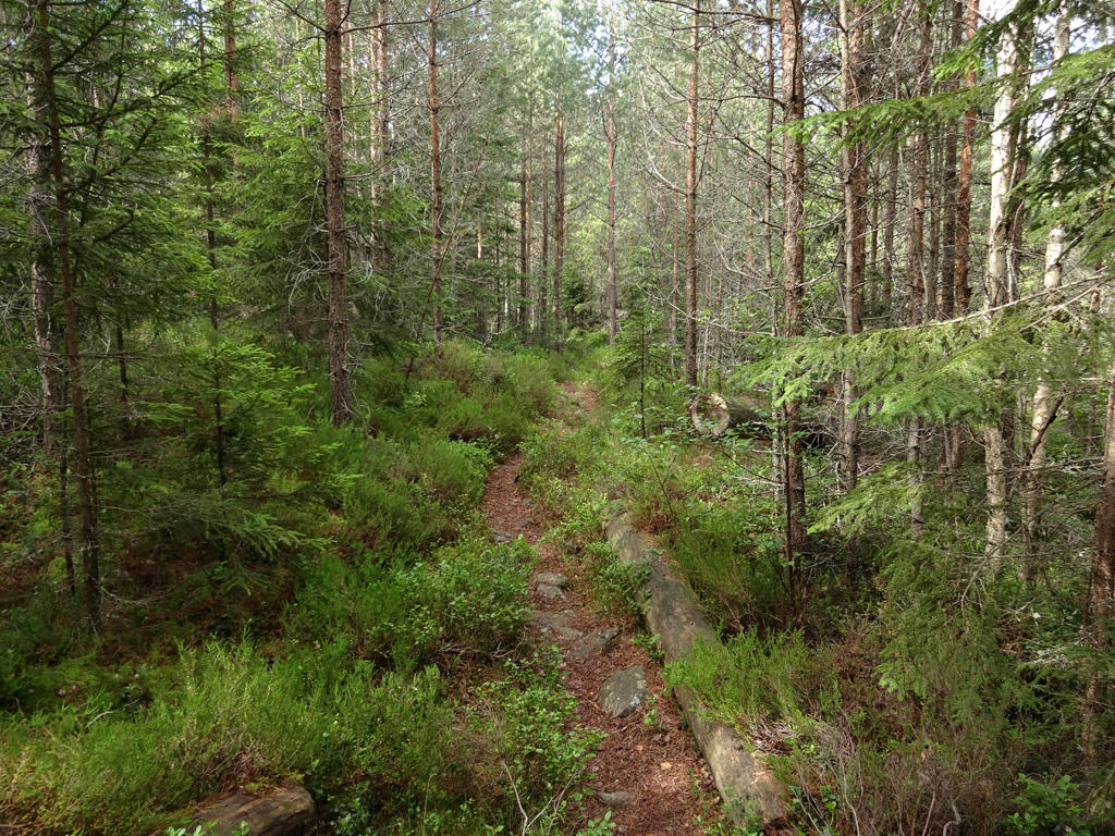
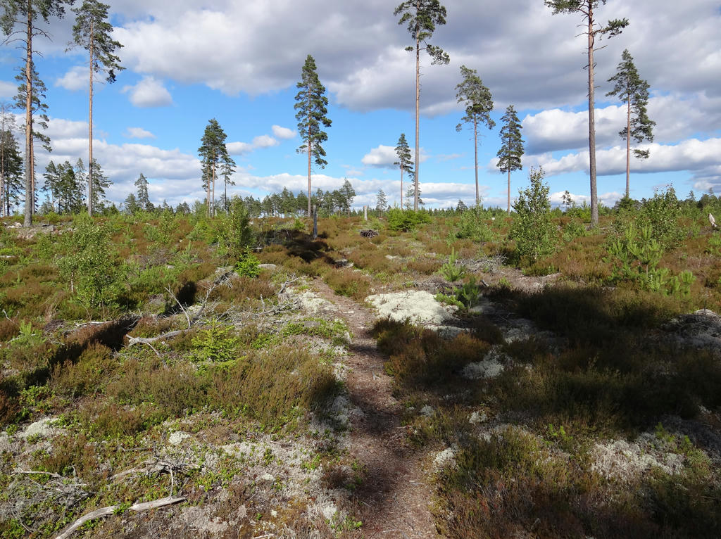
3.
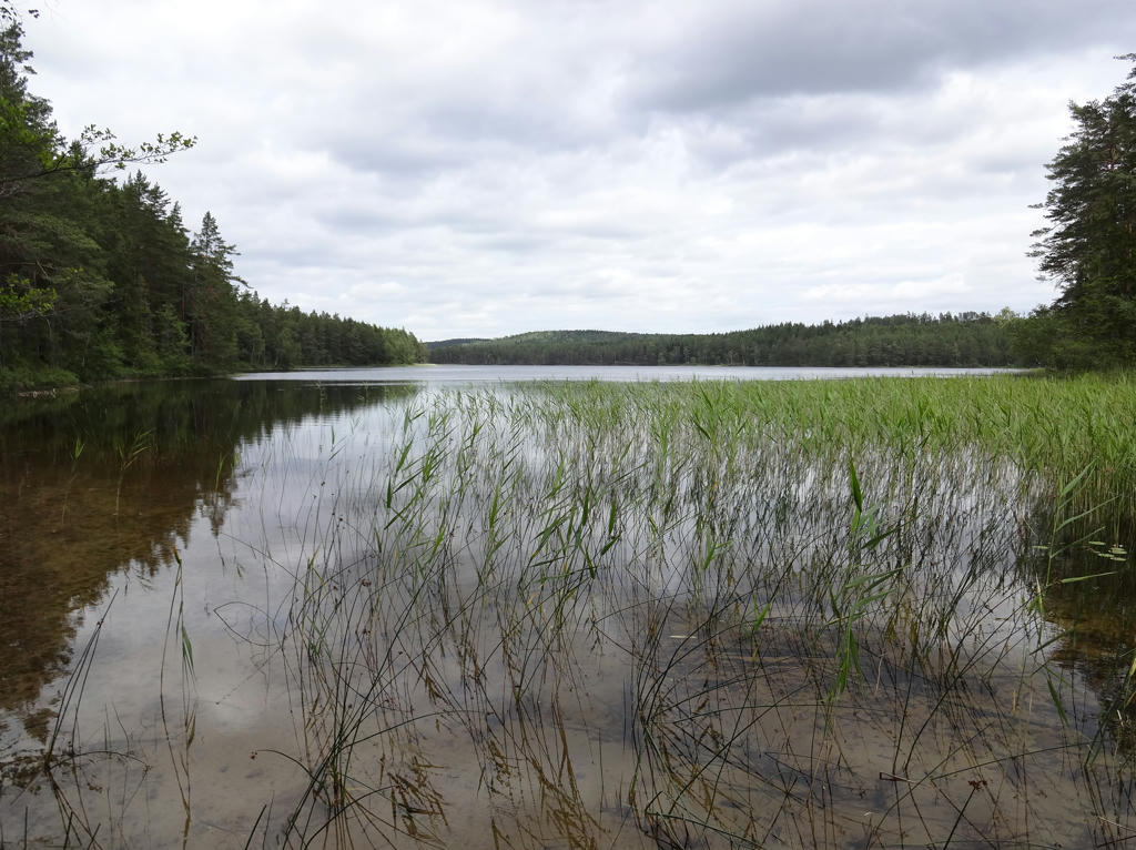
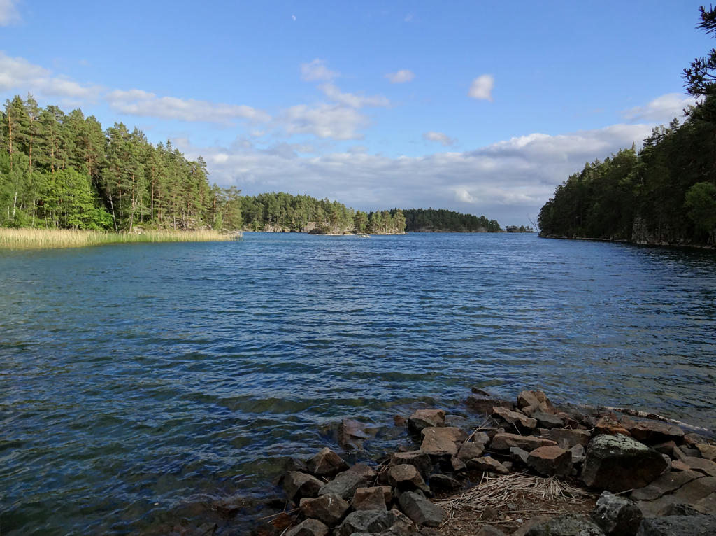
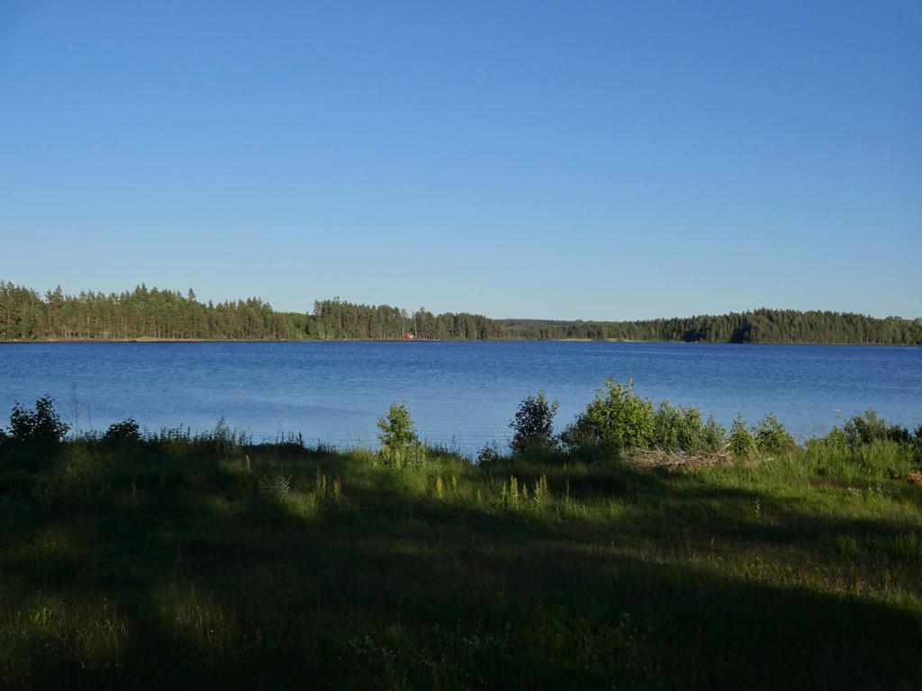
4.
Södra Holmsjön. Rotated the photo slightly and cropped it. Also sharpened the photo slightly using unsharp mask.
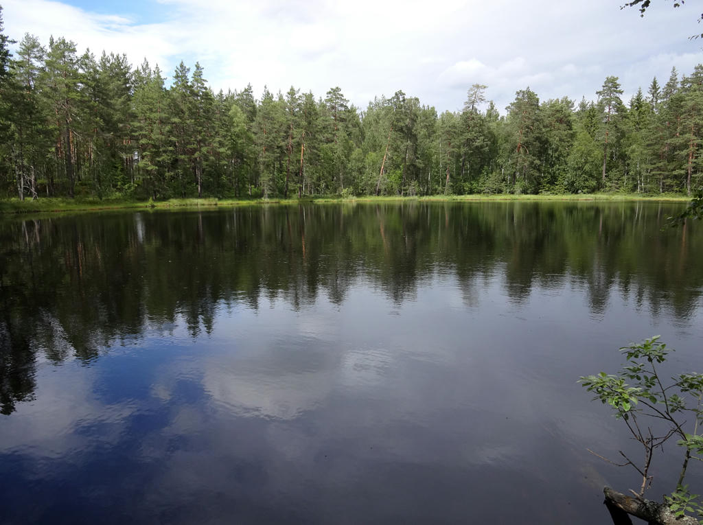
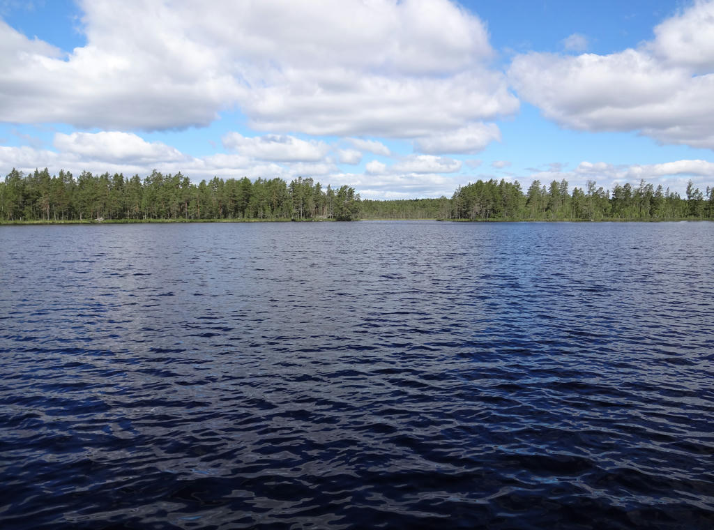
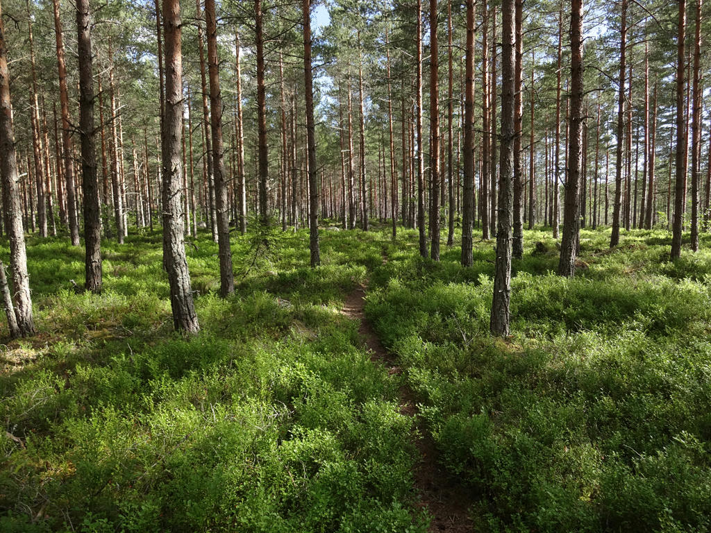
5.
Sharpened the photo slightly using unsharp mask.
6.
Slightly increased the contrast for the photo using the brightness-contrast tool. Also sharpened the photo slightly using unsharp mask.
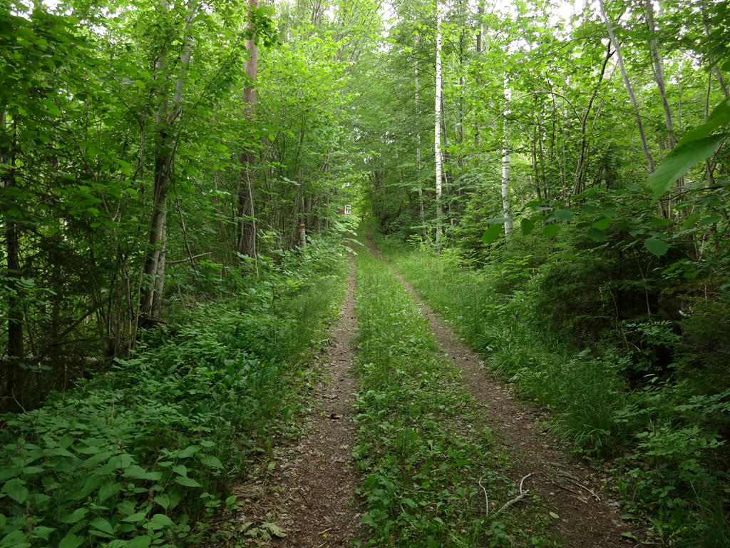
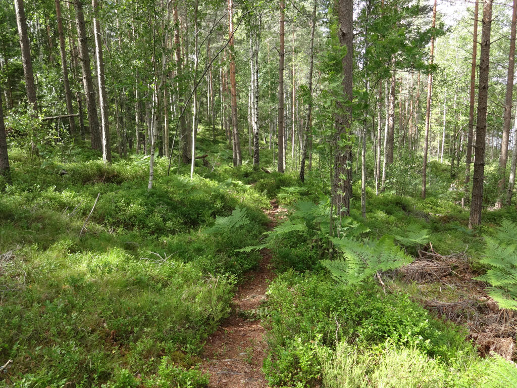
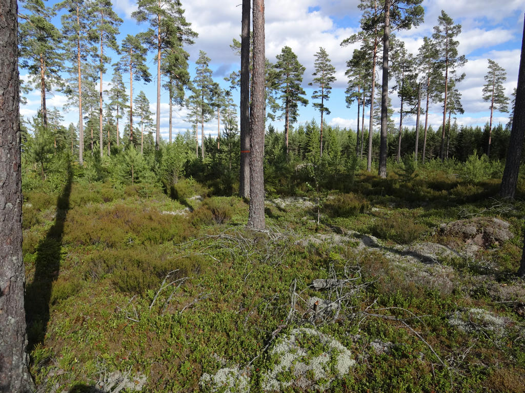
7.
8.
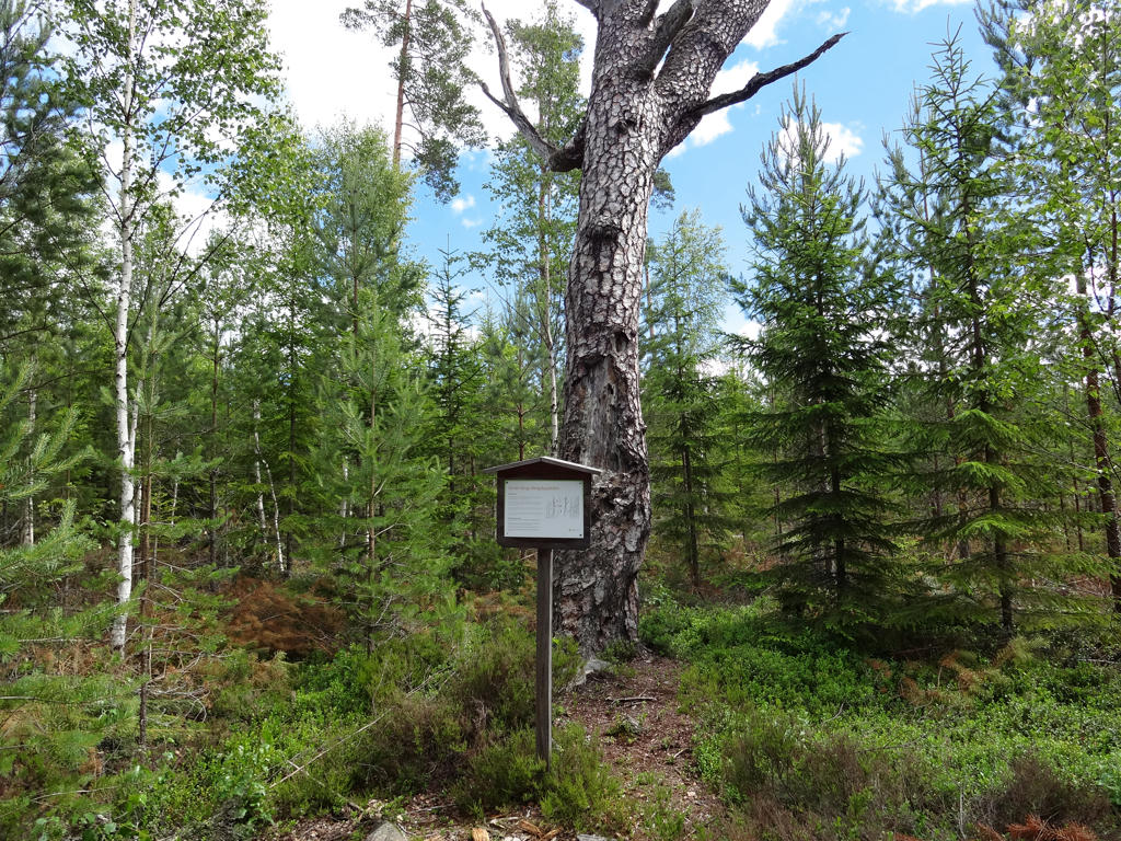
"Toothache pine tree
In the older days it was thought that certain trees could cure sicknesses; using trees in this way was called "putting away" ("sätta bort") the sickness. The appearance of the tree was often important: for example, a pine tree with many knots was used to cure boils.
Using this "pain tree" toothaches were cured. The sick person's tooth was poked with a wooden stick until there was blood or pus on it. The stick was then driven under the bark of the tree, preferably on its northern side (as it was thought that all evil came from this direction). The pain was thus transferred to the tree.
Another common method was to get help from a wise woman (or man) who came and drilled a small hole in the tree, where something from the sick person was placed. The hole was then covered to keep the pain away.
Pain trees of this sort were always left standing when a forest was cut down. Nobody wanted to put their axe into a pain tree, as generations of sicknesses contained in the tree would automatically be transferred via the axe or the saw to the woodcutter."
Used the hue restorer plug-in to reduce the cyan-ish sky color. Also darkened the sky using the levels tool. Finally I used the brightness-contrast tool to slightly increase the contrast for the non-sky parts.
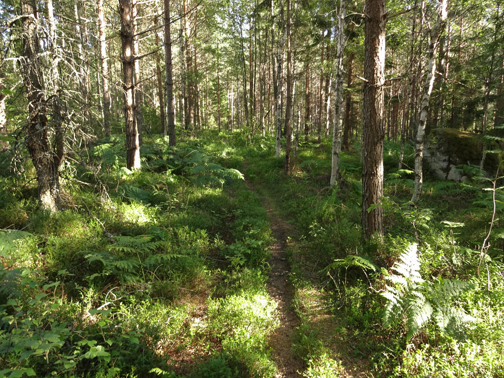
9.
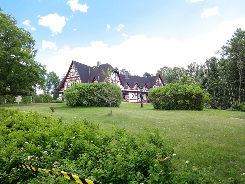
Villa Lugnbo
"The imitation half-timbered building was erected in 1896, after Svartå Company AB was formed in 1894. It was originally the house of the company managing director and today it is used as a conference centre."
Used the hue restorer plug-in to reduce the cyan-ish sky color. Also used the levels tool to darken the sky and slightly darken the non-sky parts separately. Finally for the non-sky parts I slightly increased the contrast using the brightness-contrast tool and slightly increased the sharpness using unsharp mask. Despite these changes the photo is still not good.
10.
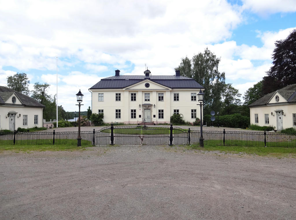
Svartå manor
The manor's main building is "in Gustavian style from the beginning of the 1780s. Today the manor house is a hotel and part of Svartå Manor conference centre."
Rotated the photo slightly and cropped it. Also darkened the sky slightly using the levels tool.
The manor's main building is "in Gustavian style from the beginning of the 1780s. Today the manor house is a hotel and part of Svartå Manor conference centre."
Rotated the photo slightly and cropped it. Also darkened the sky slightly using the levels tool.
11.
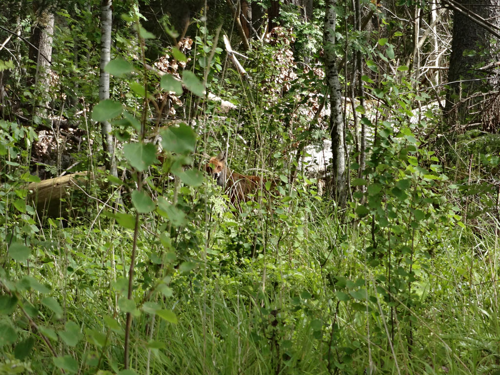
Fox. Sharpened the photo slightly using unsharp mask.
12.
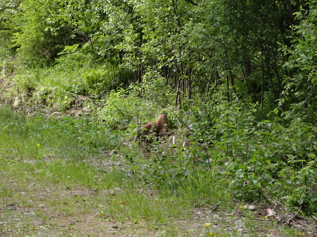
Fox cub. It actually didn't notice me at first and so I observed it and took photos of it for a couple of minutes. Sharpened the photo slightly using unsharp mask.
13.
Increased the contrast slightly using brightness-contrast tool.
14.
Lill-Trysslingen. Rotated the photo slightly and cropped it. Also used the levels tool to darken the sky and to brighten the non-sky parts slightly.
15.
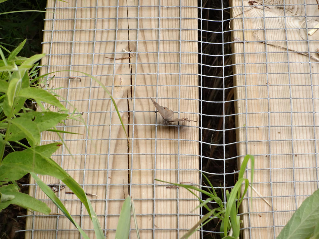
Not sure what butterfly species this is.
16.
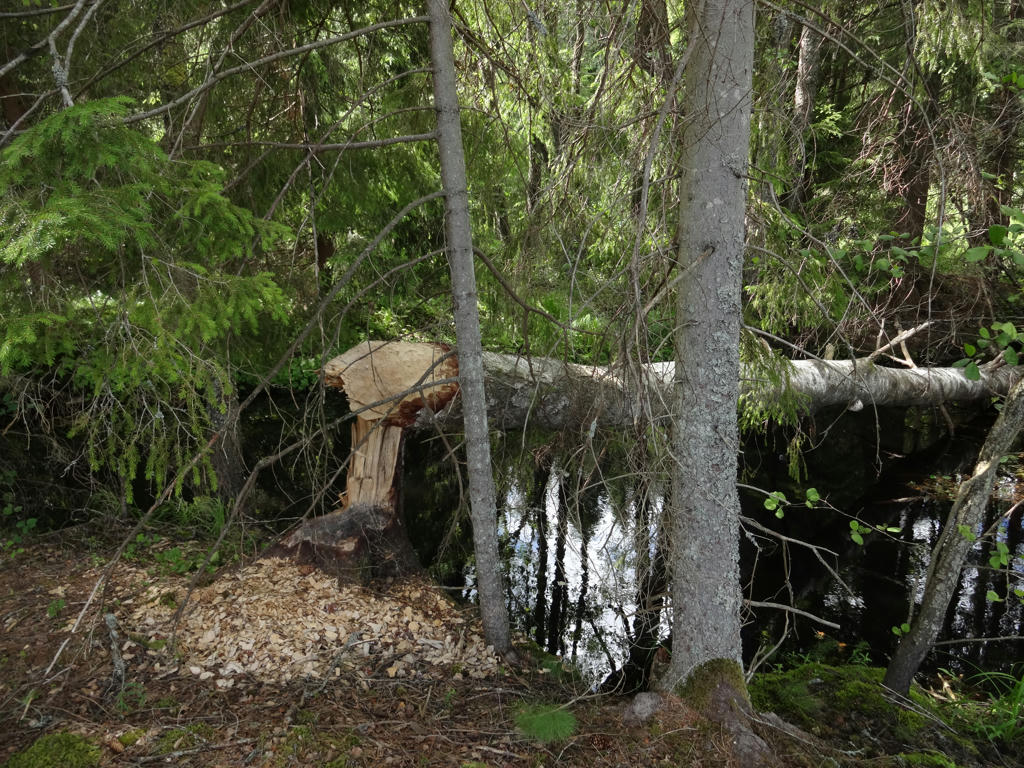
Spettån. The streams in the area are popular for beavers. The felled tree here is a sign of the beaver activities.
17.
18.
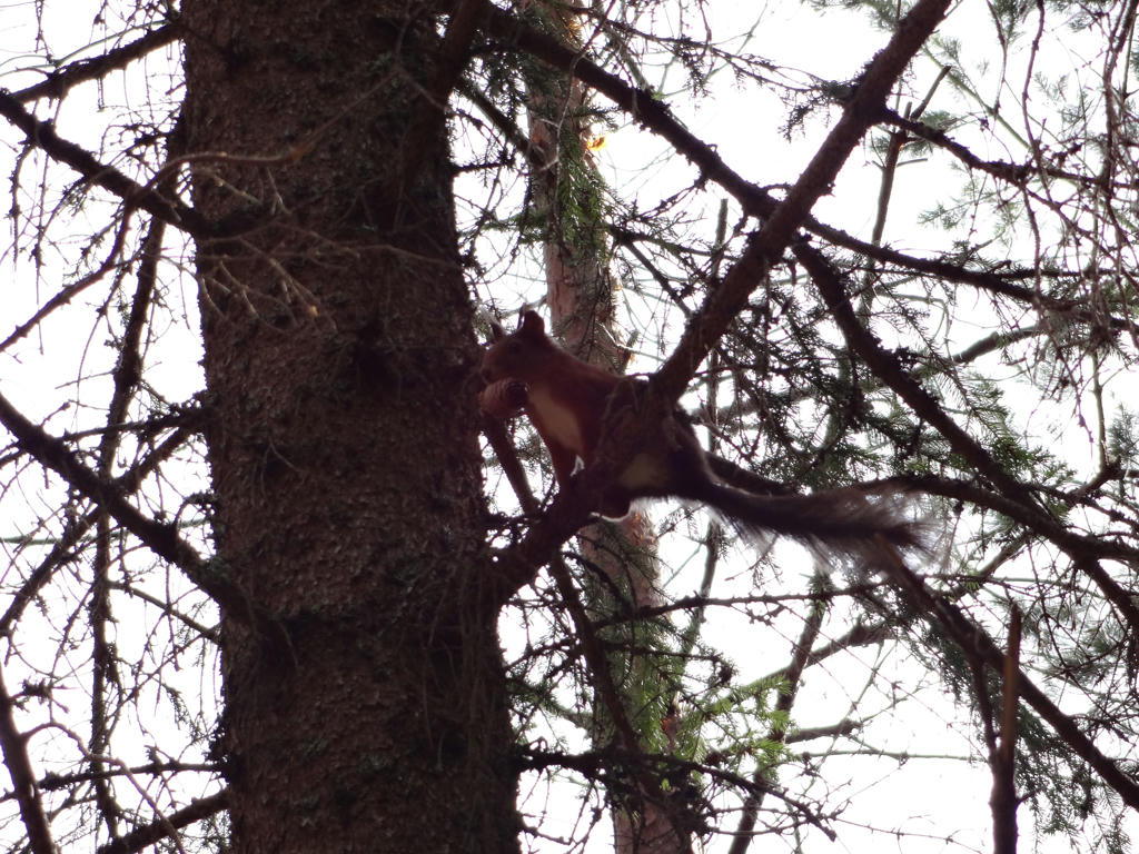
Squirrel
19.
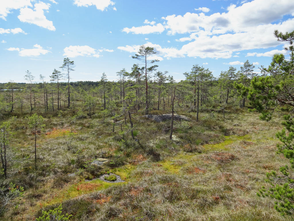
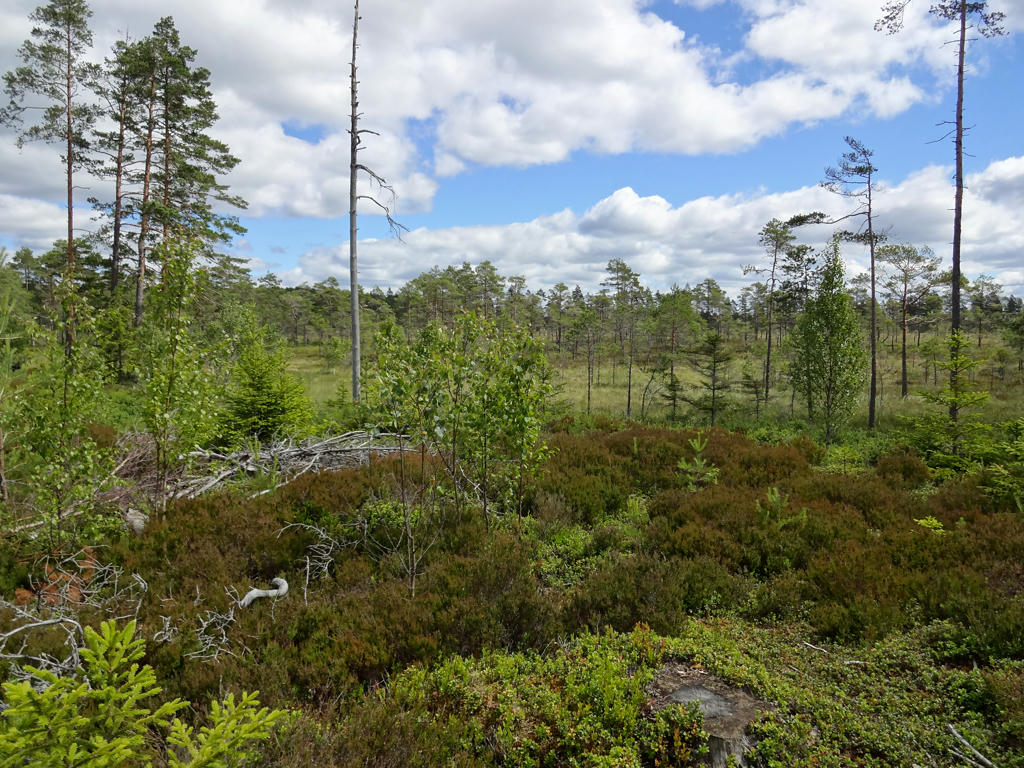
"Rankemossen
Lilla and Stora Rankemossen are classed as one of the areas of marshlands most worthy of protecting in Örebro County. The marshes and surrounding areas are entirely unaffected by ditches and modern forestry work. Rankemossen is a typical high marsh which is noticeable when the trail passes the slope far under the level of the marsh. From some of the higher rocks along the trail there is a good view of the marsh and its many meres.
Open water exists in the form of a collection of meres and a tarn in the south. The red-throated diver flourishes in the pools. The marsh in the north is slightly sloping, with strings and clumps of brushwood. The marsh surface is dominated by amongst other things, tussock wool, bog moss and sphagnum. In the north of this area, there is a group of separated pools the edges of which are made of clumps of brushwood. Northwest of the largest firm ground islet there is a poor marsh with a firmer bottom. Bottle sedge appears sporadically amongst the tussock wool and sphagnum.
Peat consists of dead vegetation especially different types of bog moss that have rotted under the water. Because the water has stopped the inflow of air, the decaying process has been limited. Previously, peat was used in peat toilets and as floor covering in cattle litter areas. It was also used as filler and as insulation in walls and joists. Today peat is used mainly for improving the quality of soil and for energy.
The marsh has very special natural characteristics. Golden plovers, black grouse, cranes and snipes are characteristic birds. Here in March and April the visitor can enjoy seeing the grouse cocks competing for females in the great grouse mating game. Even at other times of the year, the grouse stay near the marsh looking for food and spending the night. Bog rosemary, common bog sedge, sundew, tussock wool, sedge and rannoch rush are some of the marsh plants."
Used the hue restorer plug-in to reduce the cyan-ish sky color. Also darkened the sky using the levels tool. Then for the non-sky parts I slightly increased the contrast using the brightness-contrast tool. Finally I sharpened the photo slightly using unsharp mask.
20.
In the Rankemossen nature reserve.
21.
22.
23.
24.
Rotated the photo slightly and cropped it.
25.
Sharpened the photo slightly using unsharp mask.
26.
Used the hue restorer plug-in to reduce the cyan-ish sky color. Also darkened the sky slightly using the levels tool. Finally I sharpened the non-sky parts slightly using unsharp mask.
27.
Sharpened the photo slightly using unsharp mask.
28.

View from Trollåsen. Sharpened the photo slightly using unsharp mask.
29.
Amperna. Rotated the photo slightly and cropped it. Also darkened the sky slightly using the levels tool. Finally I sharpened the non-sky parts slightly using unsharp mask.
30.
Borasjön