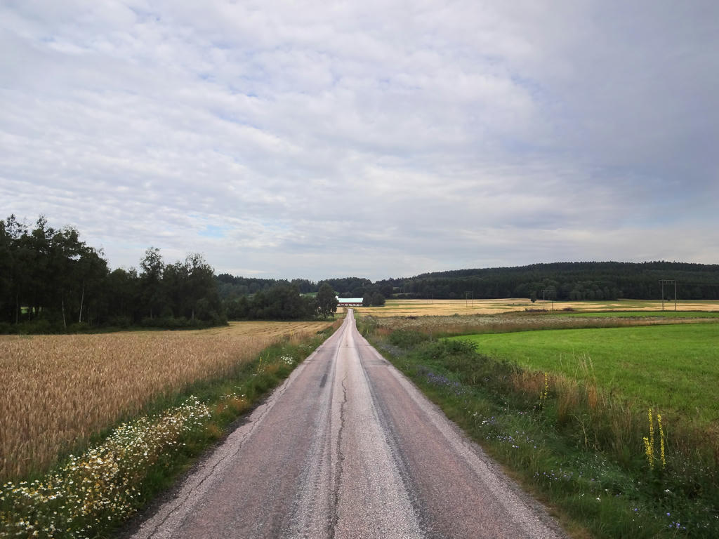
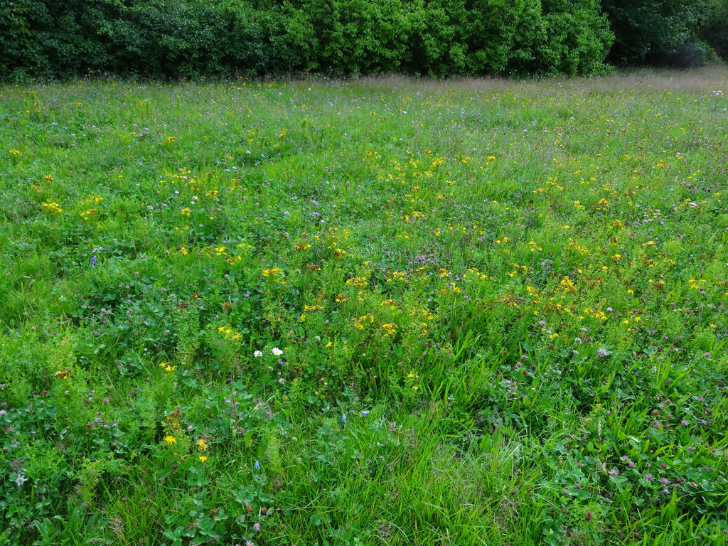
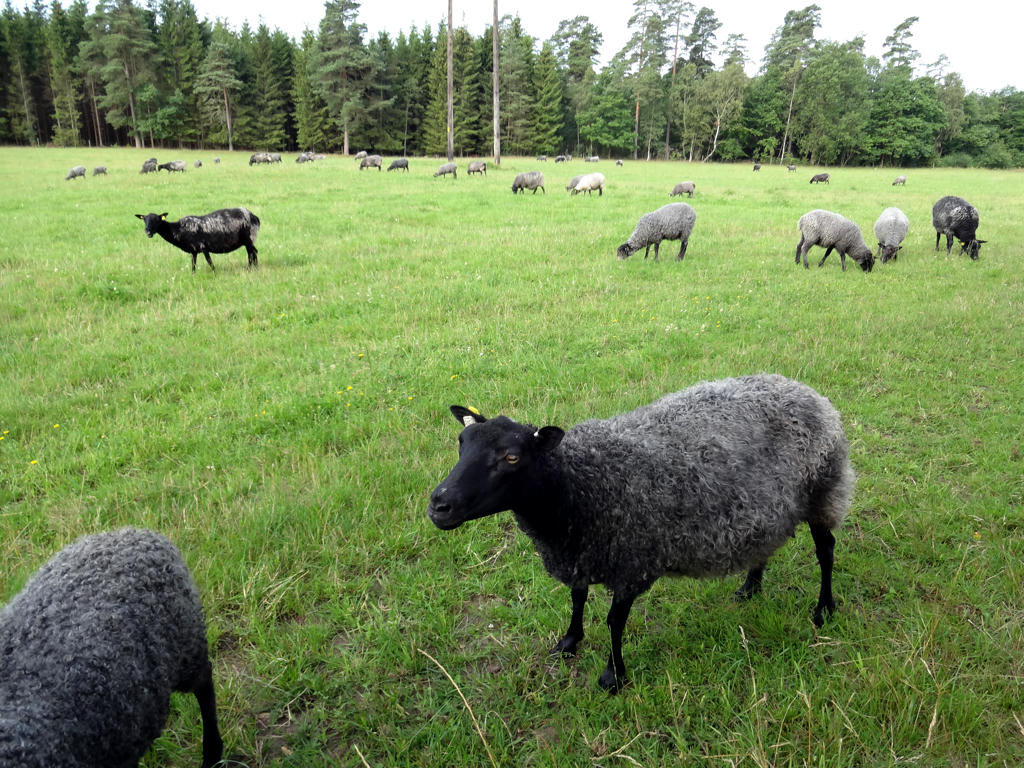
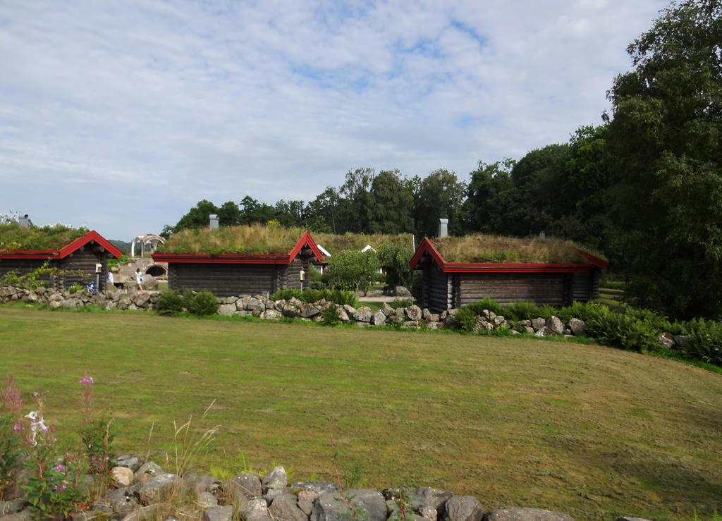
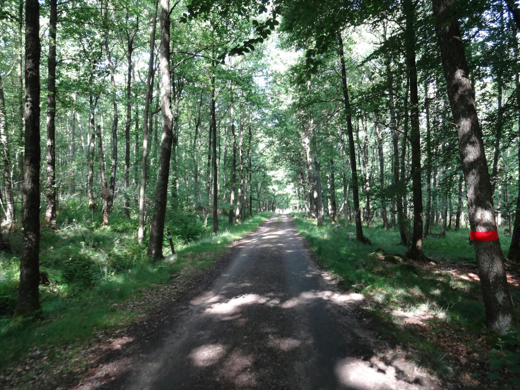
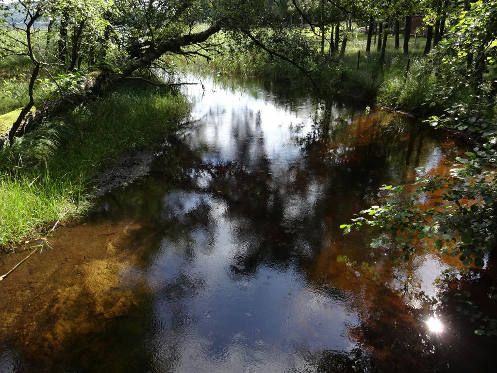
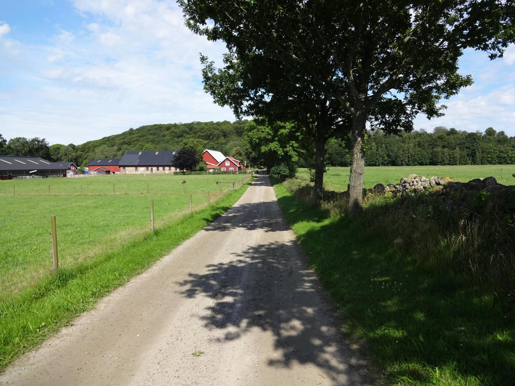
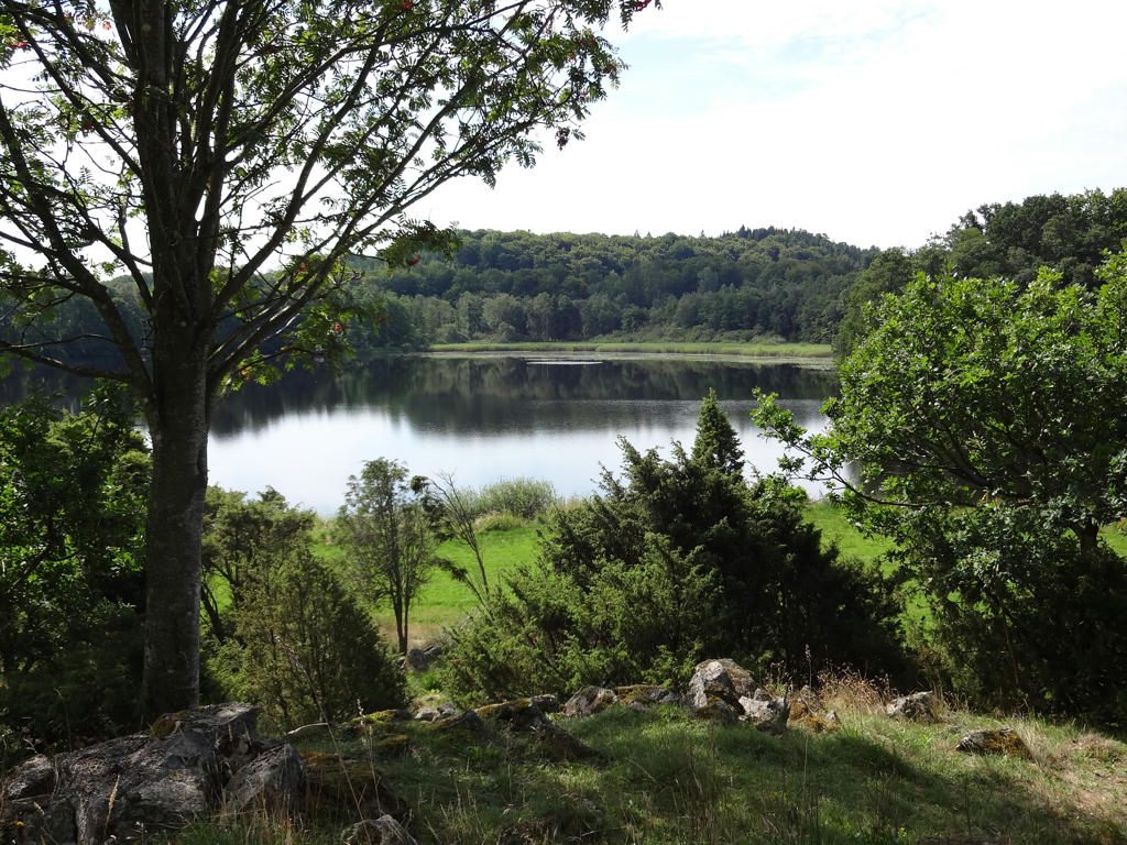
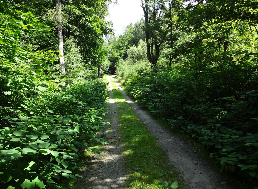
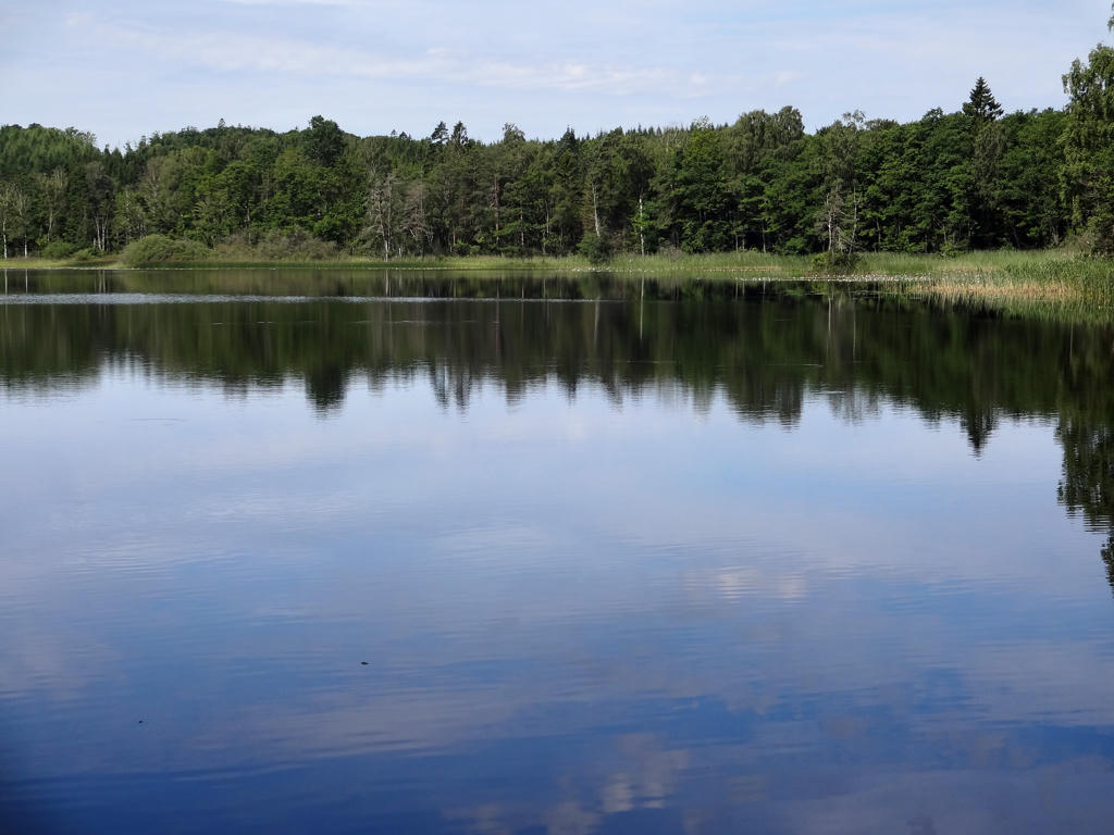
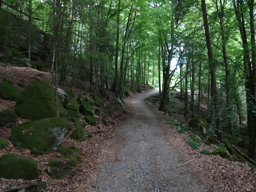
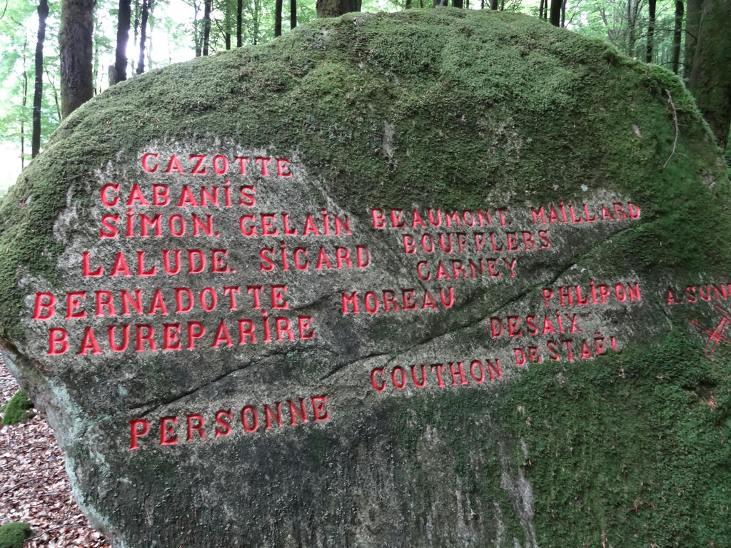
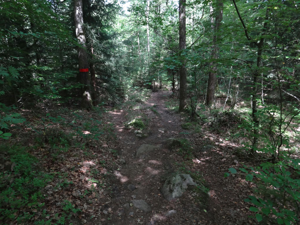
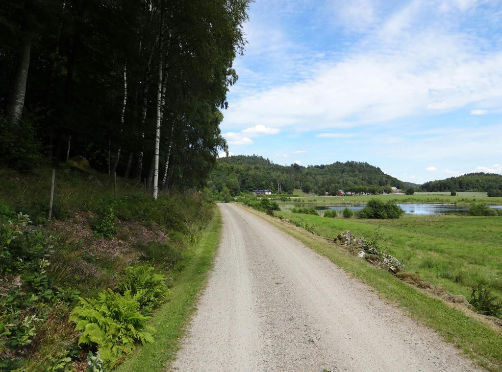
The character of the walk was quite varied. In general it can be noted that much of it went through farm land regions and went on gravel roads, tractor roads or asphalt roads. There were some places which stood out especially, for instance Frodeparkens Nature Reserve and the small town of Asige which has many iron age graves and stone carvings. In summary it was an interesting walk but more exhausting than usual (despite not walking so fast). The photos are presented below. Enjoy!
1.
2.
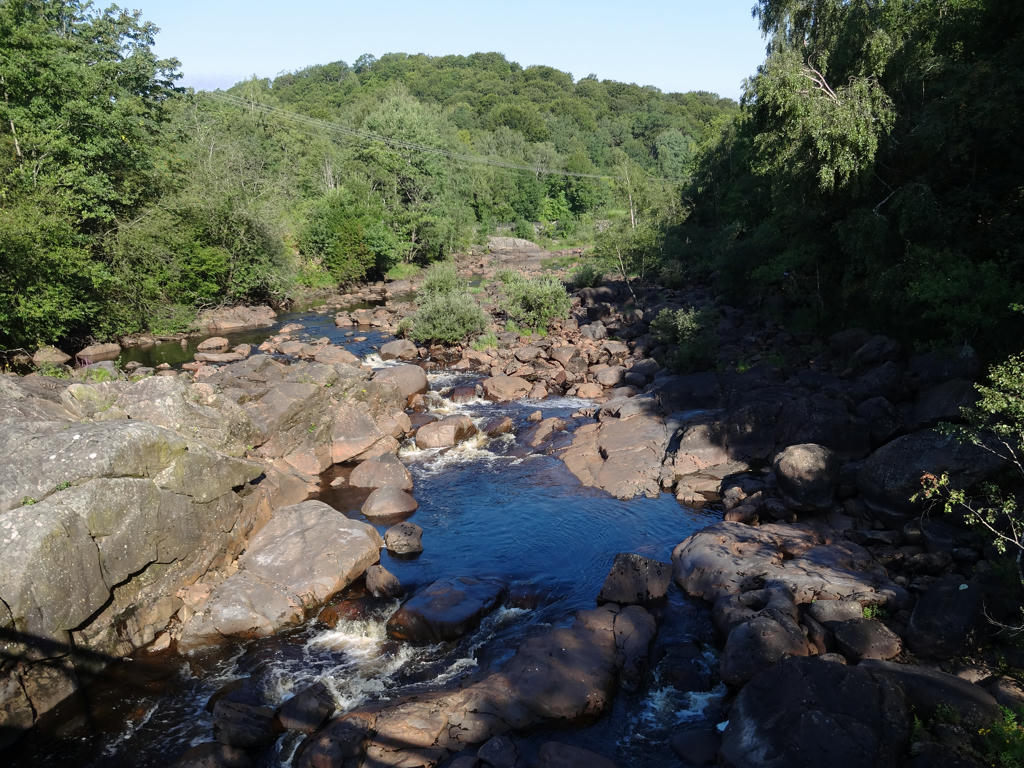
Nissan. Used hue restorer to remove the cyan-ish sky. Then I reduced the brightness for the non-sky parts using the curves tool.
3.
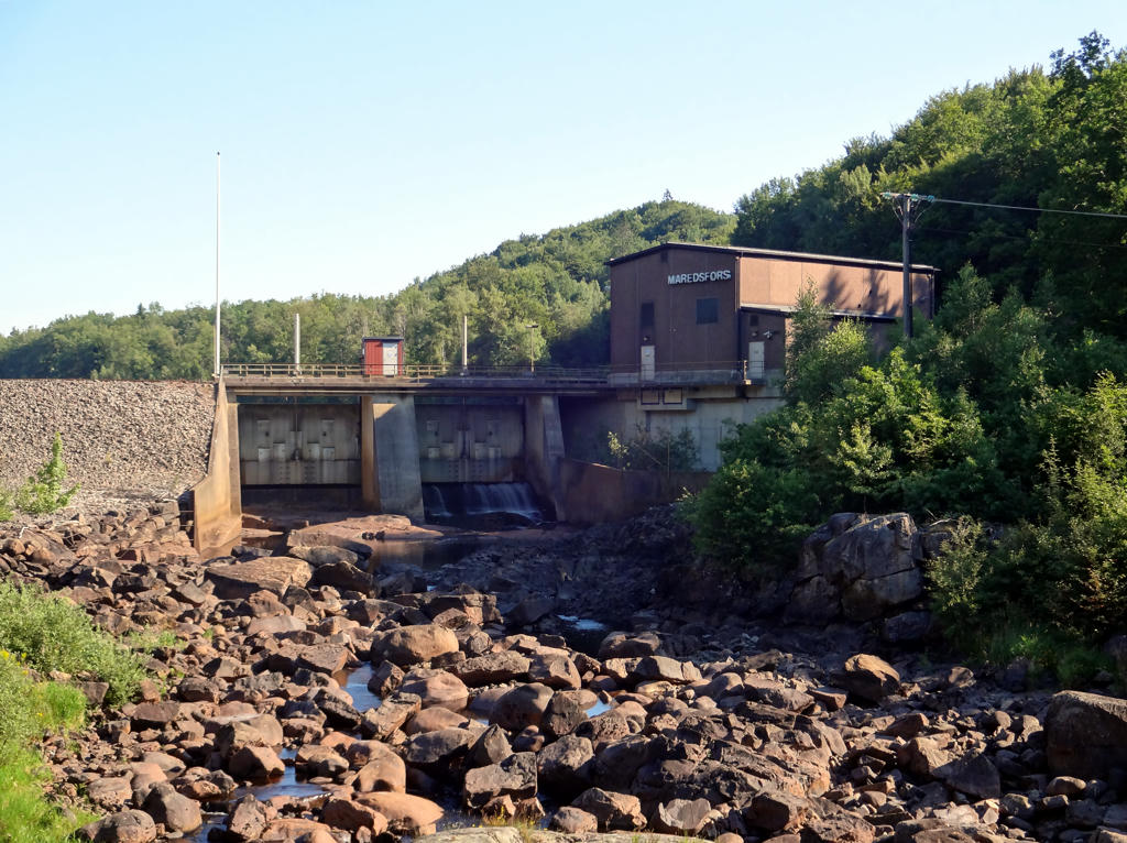
Maredsfors hydro power plant. This hydro power plant was built in 1983. What distinguishes Nissan from other rivers used for hydro power in Halland is that it has no dams. The hydro power is thus entirely dependent on how much water there is in Nissan at the moment.
Used hue-restorer plug-in to remove the cyan-ish sky. I also equalized the photo and darkened it slightly using the curves tool. Also rotated the photo slightly and cropped it.
Used hue-restorer plug-in to remove the cyan-ish sky. I also equalized the photo and darkened it slightly using the curves tool. Also rotated the photo slightly and cropped it.
4.
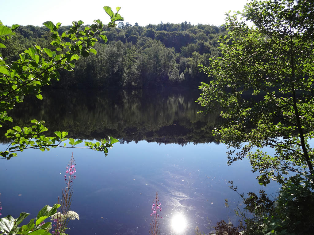
Nissan.
5.
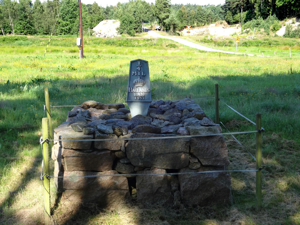
An old milestone. The background was way too bright so I made it darker using the levels tool and then the curves tool.
6.
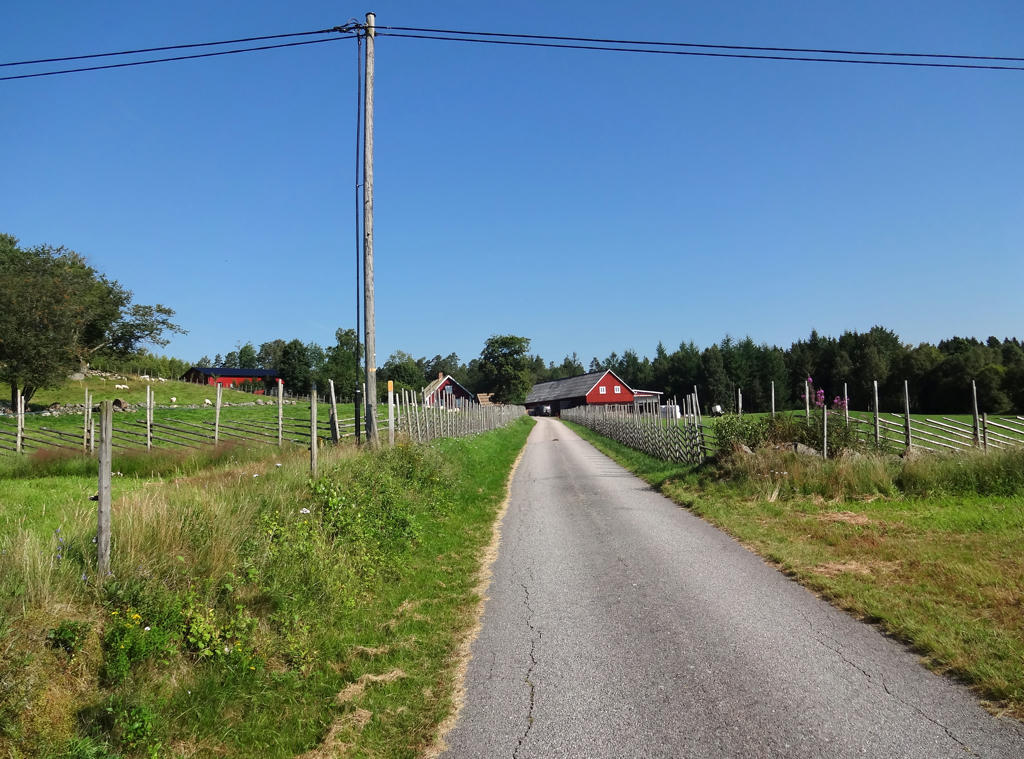
Drared. Brightened the non-sky parts using the levels tool. Also rotated and cropped the photo.
7.
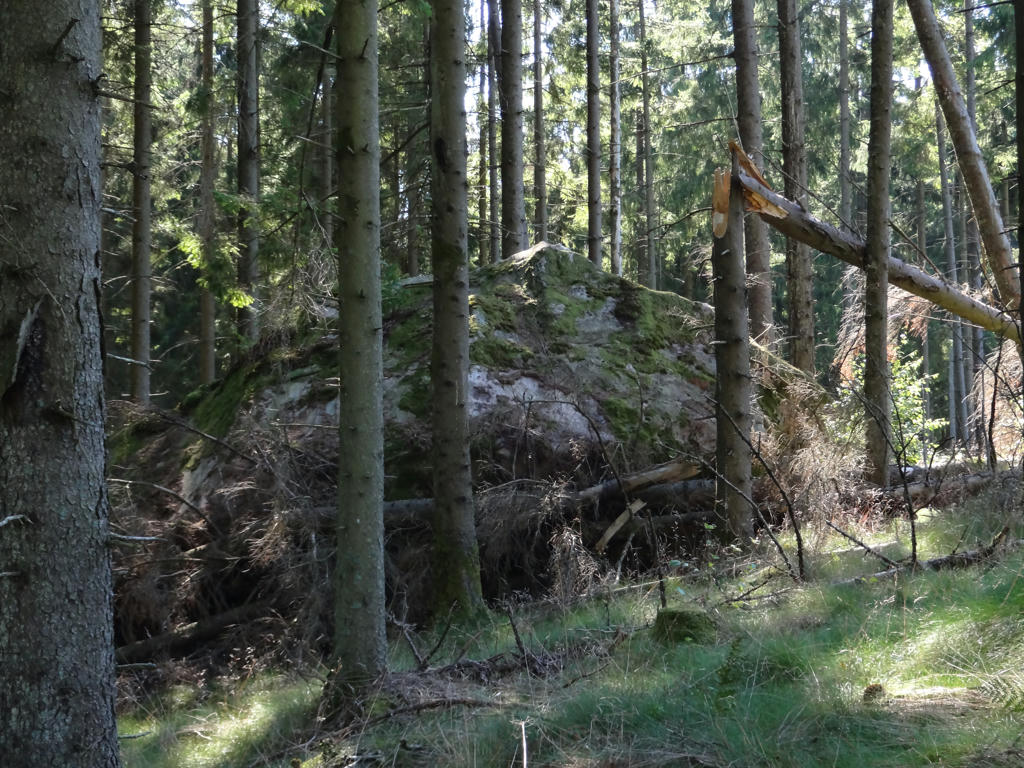
This is a large stone block from the ice age. It was carried here by the ice sheet over 13000 years ago.
8.
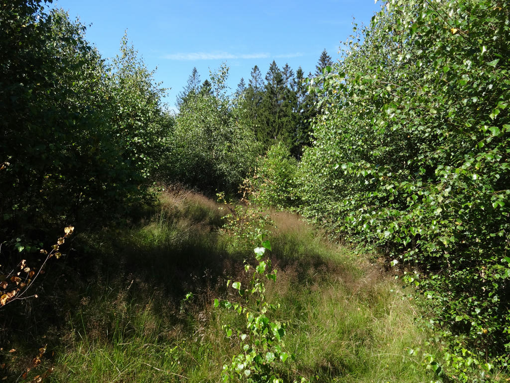
Shortly after where the stone block is located the path was overgrown and the signs were missing so I managed to get lost here. Spent probably up to 20 minutes trying to find where to go.
9.
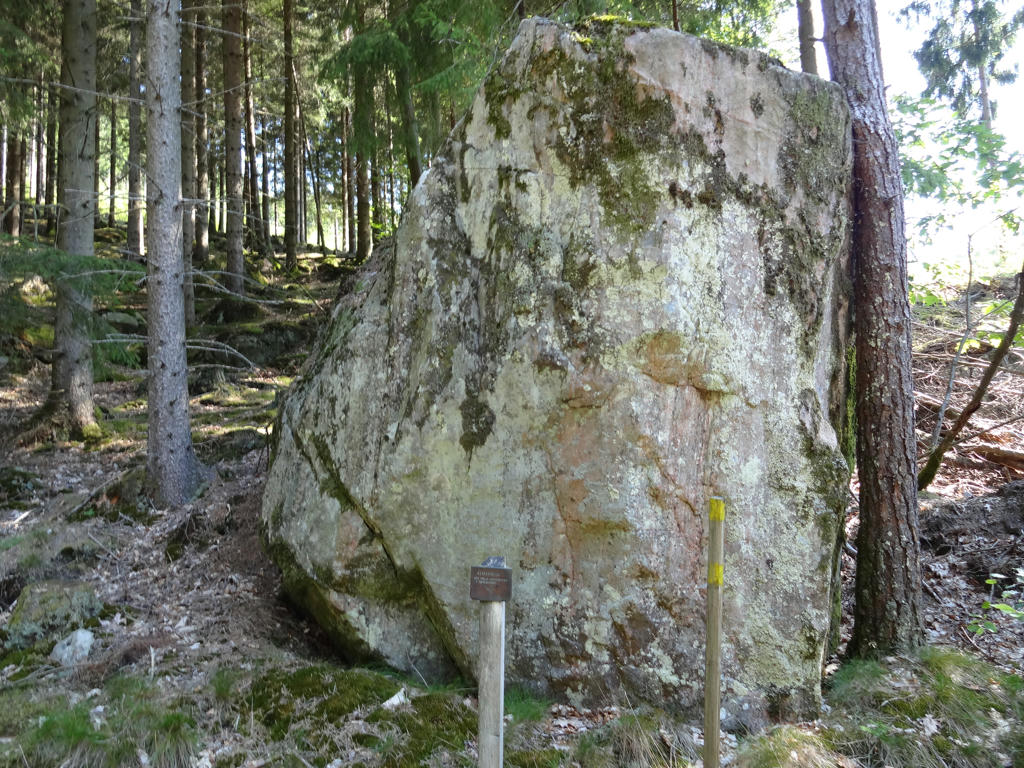
Altarstenen (The Altar Stone)
The mass/church service was held here during times of war.
The mass/church service was held here during times of war.
10.
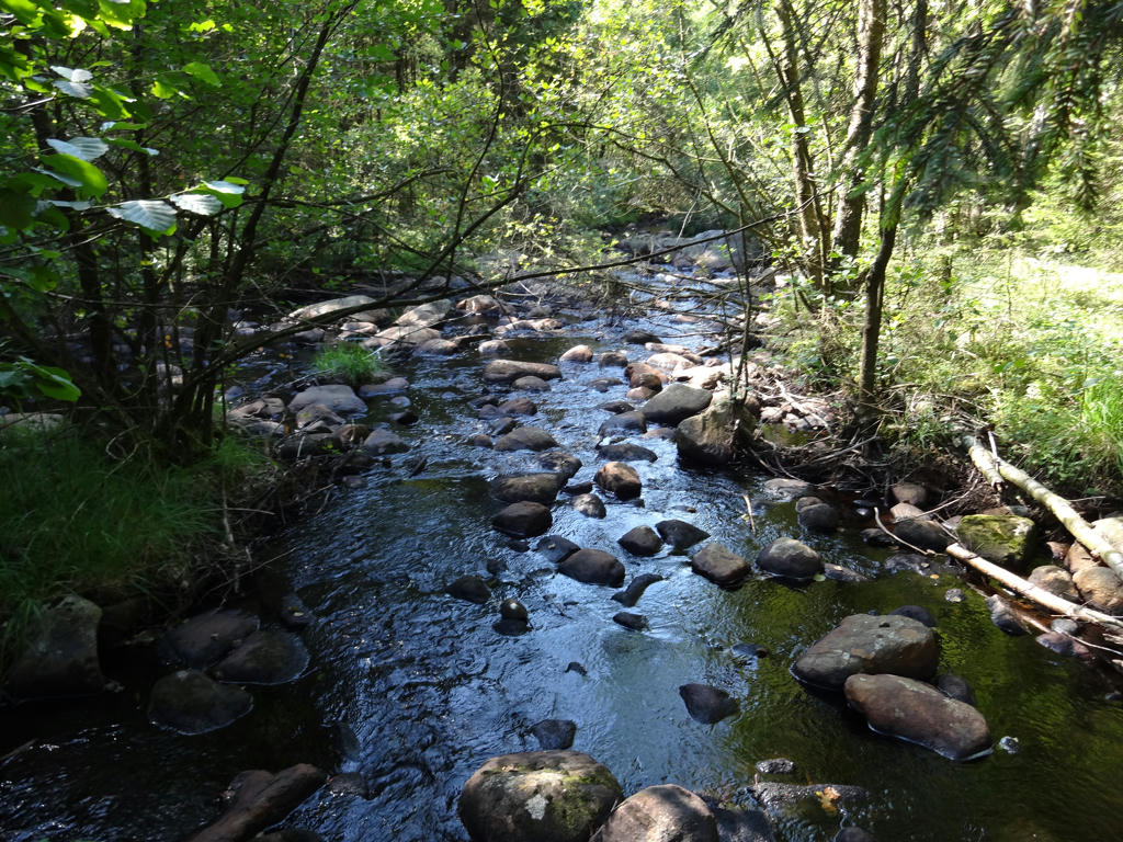
Döbblaån.
11.
12.
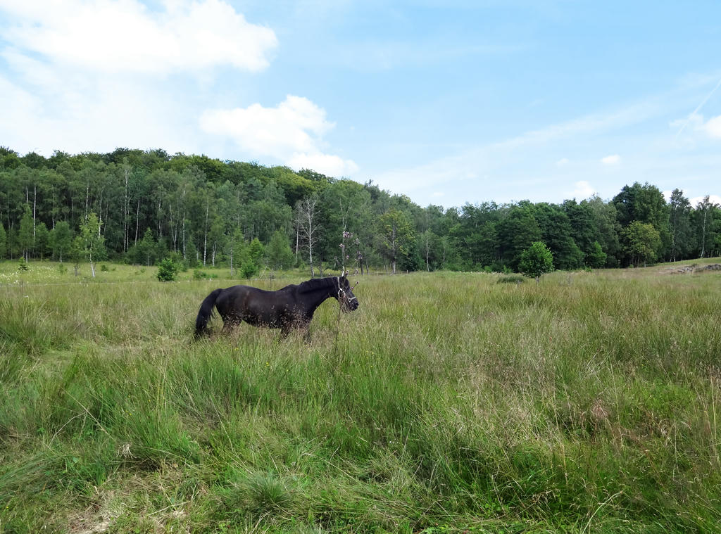
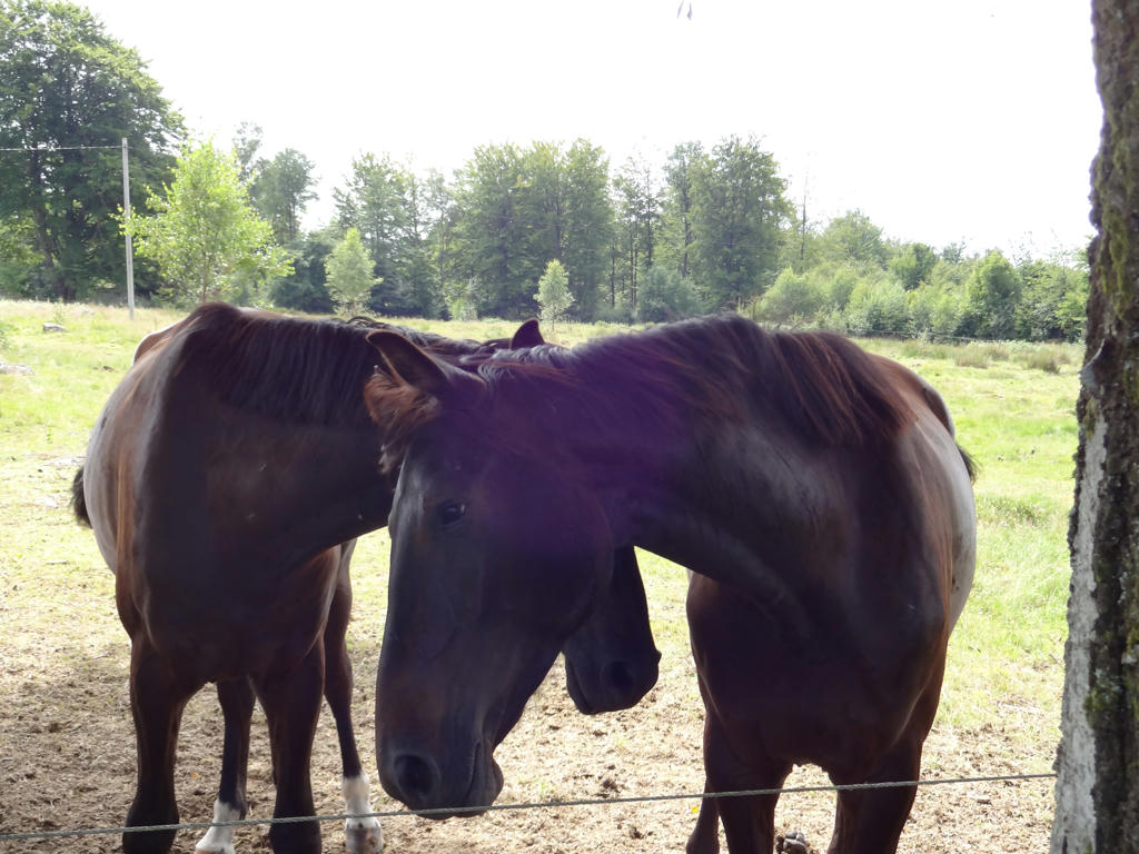
Close to Stenevad the trail went through a horse paddock with two horses. I wasn't sure if it was safe to approach the horses but I did it anyways. The horses were actually more afraid of me than the other way around. This is the first of the two horses, it ran away first when I approached.
Used the hue restorer plug-in to get rid of the cyan-ish sky. Then I rotated and cropped the photo. Finally I increased the brightness for the non-sky parts using the levels tool.
Used the hue restorer plug-in to get rid of the cyan-ish sky. Then I rotated and cropped the photo. Finally I increased the brightness for the non-sky parts using the levels tool.
13.
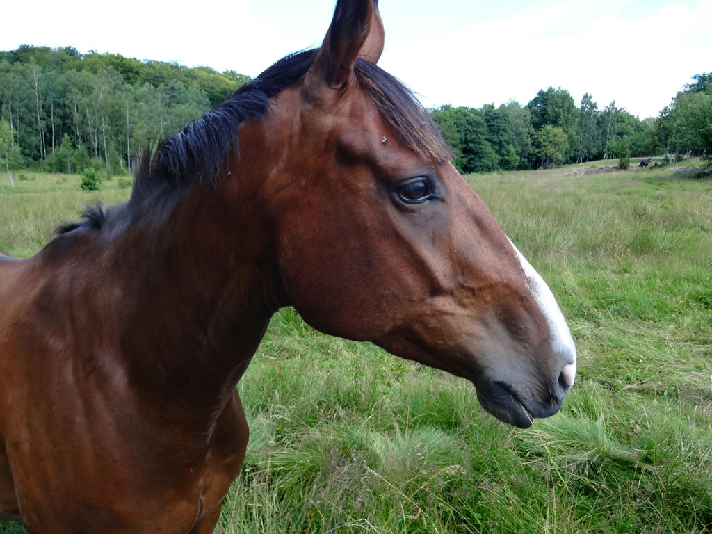
Profile view of the other horse. It got scared a short while after I took the photo and also ran away. Darkened the background slightly using the levels tool.
14.
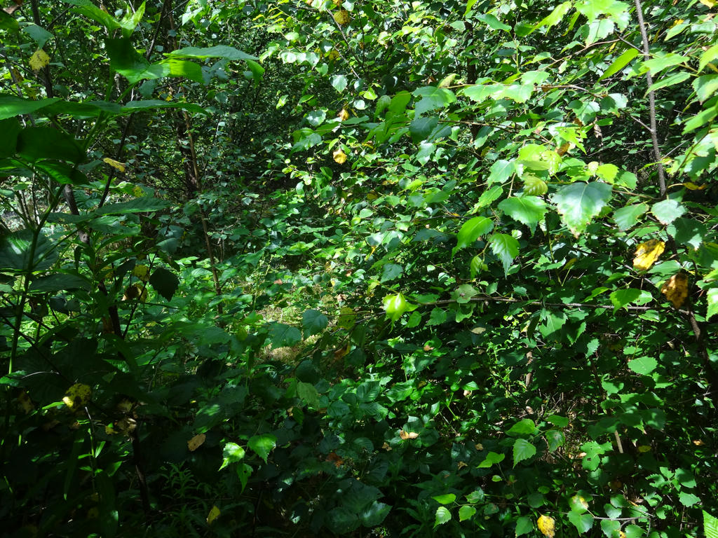
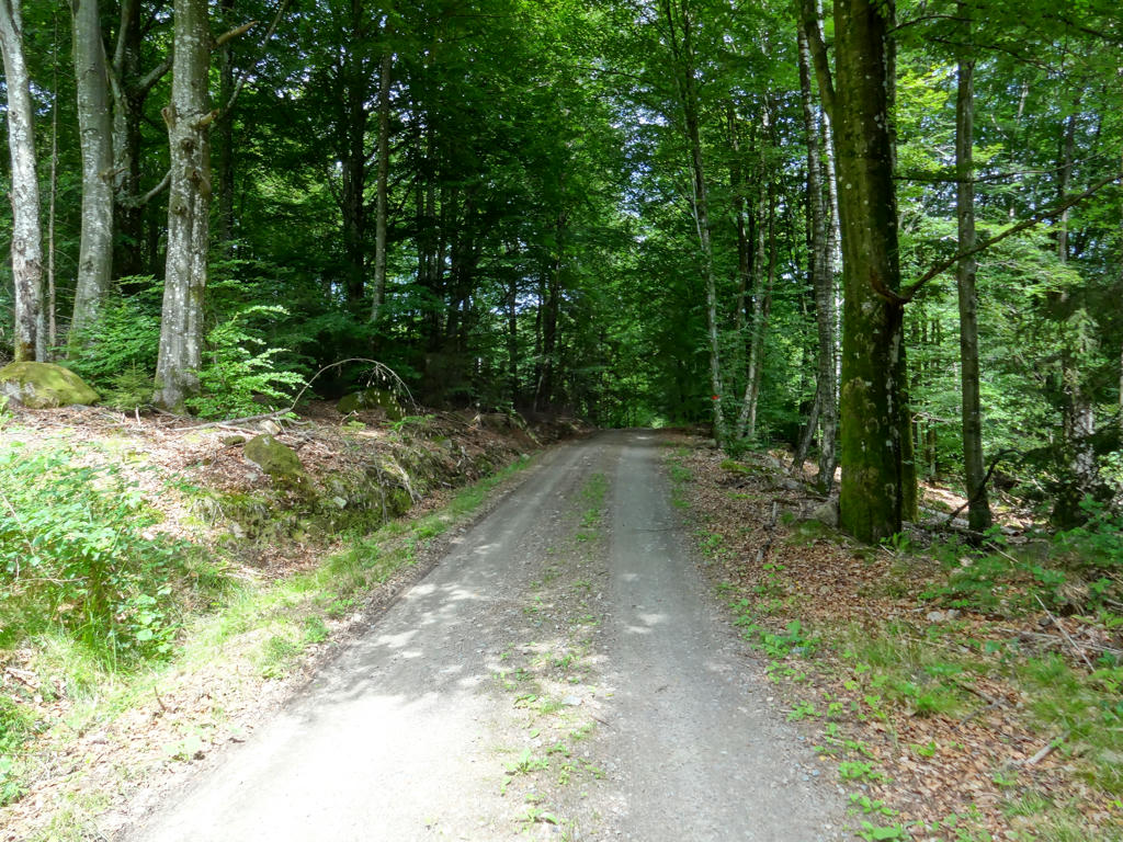
The part of the trail after Almeberget is overgrown but at least there was a warning of sorts before this: To create a connected area of deciduous forest the firs are replaced with beeches and other deciduous trees.
15.
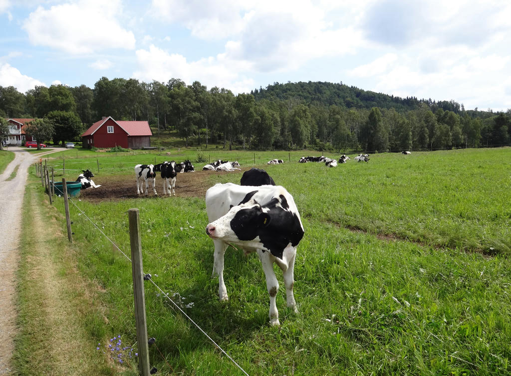
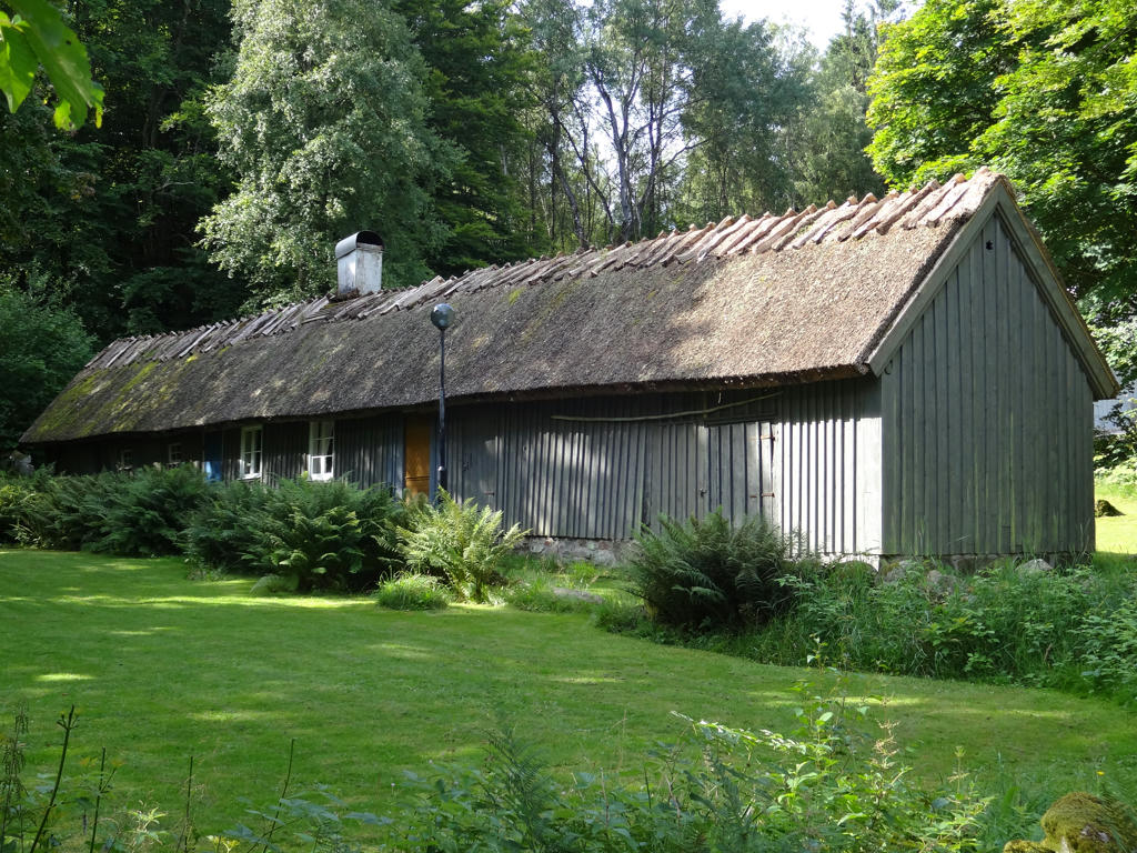
Kullebol. Used the hue restorer plug-in to remove the cyan-ish sky and also rotated and cropped the photo.
16.
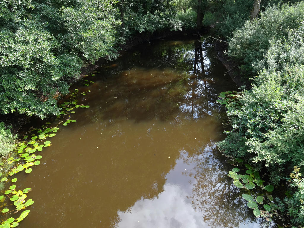
Suseån.
17.
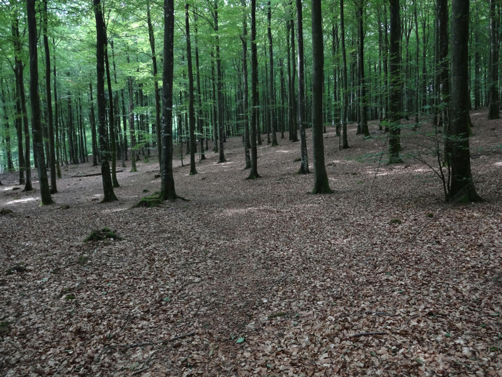
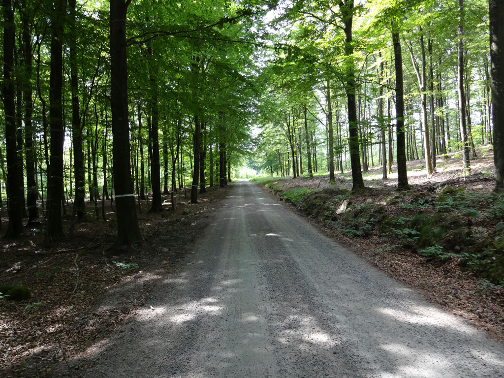
"Frodeparken.
Welcome to the Frodenparken Nature Reserve. Over 30 rare organisms have been found in these 200-year old beech forests. The great age of the trees and the plentiful supply of dead wood are the main explanation for the abundance of flora and fauna here. Frodeparken provides a sanctuary for many beetles, lichens, mosses and other organisms sensitive to disturbance."
Welcome to the Frodenparken Nature Reserve. Over 30 rare organisms have been found in these 200-year old beech forests. The great age of the trees and the plentiful supply of dead wood are the main explanation for the abundance of flora and fauna here. Frodeparken provides a sanctuary for many beetles, lichens, mosses and other organisms sensitive to disturbance."
18.
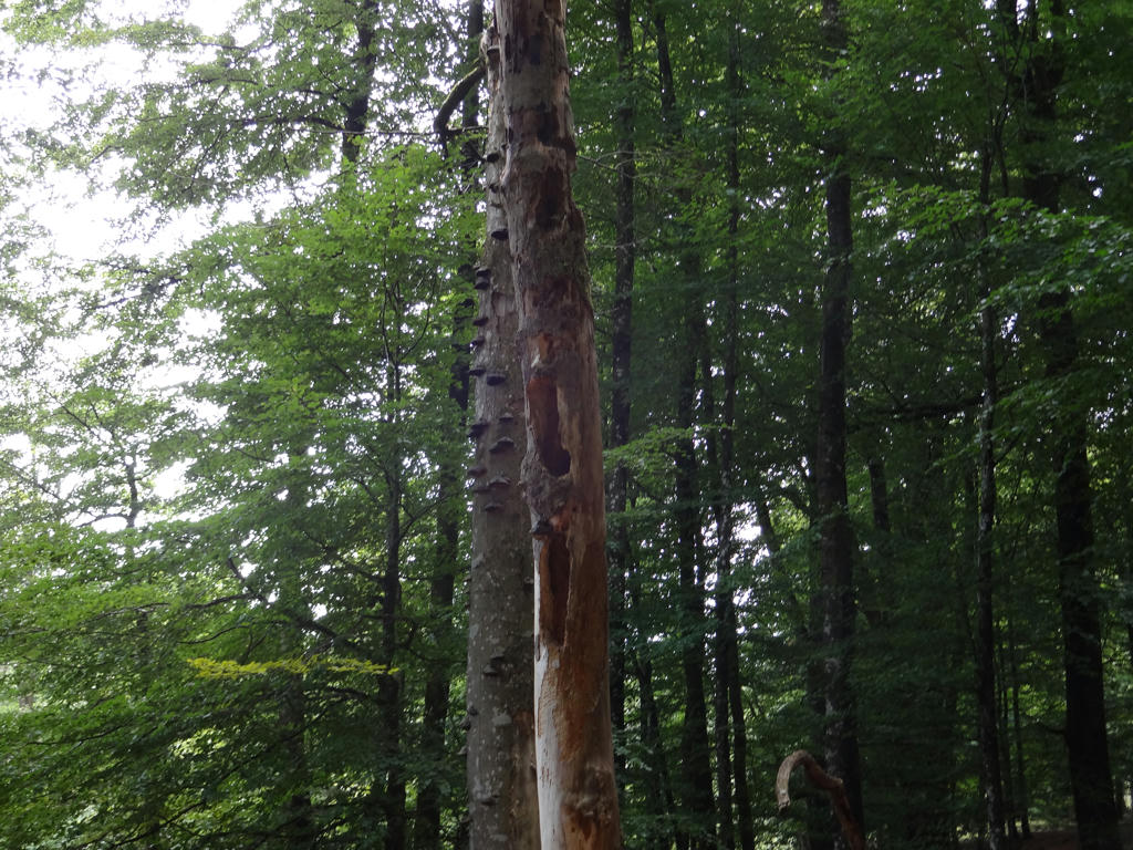
Frodeparken.
19.
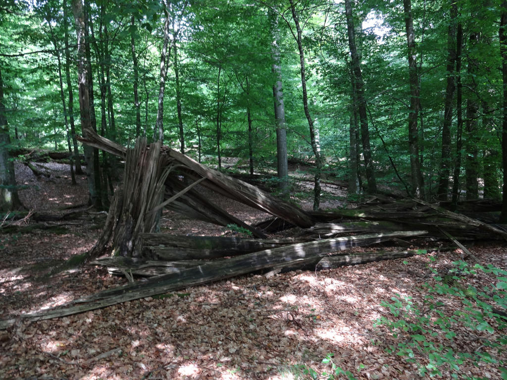
Frodeparken.
20.
21.
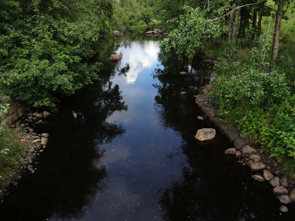
Suseån.
22.
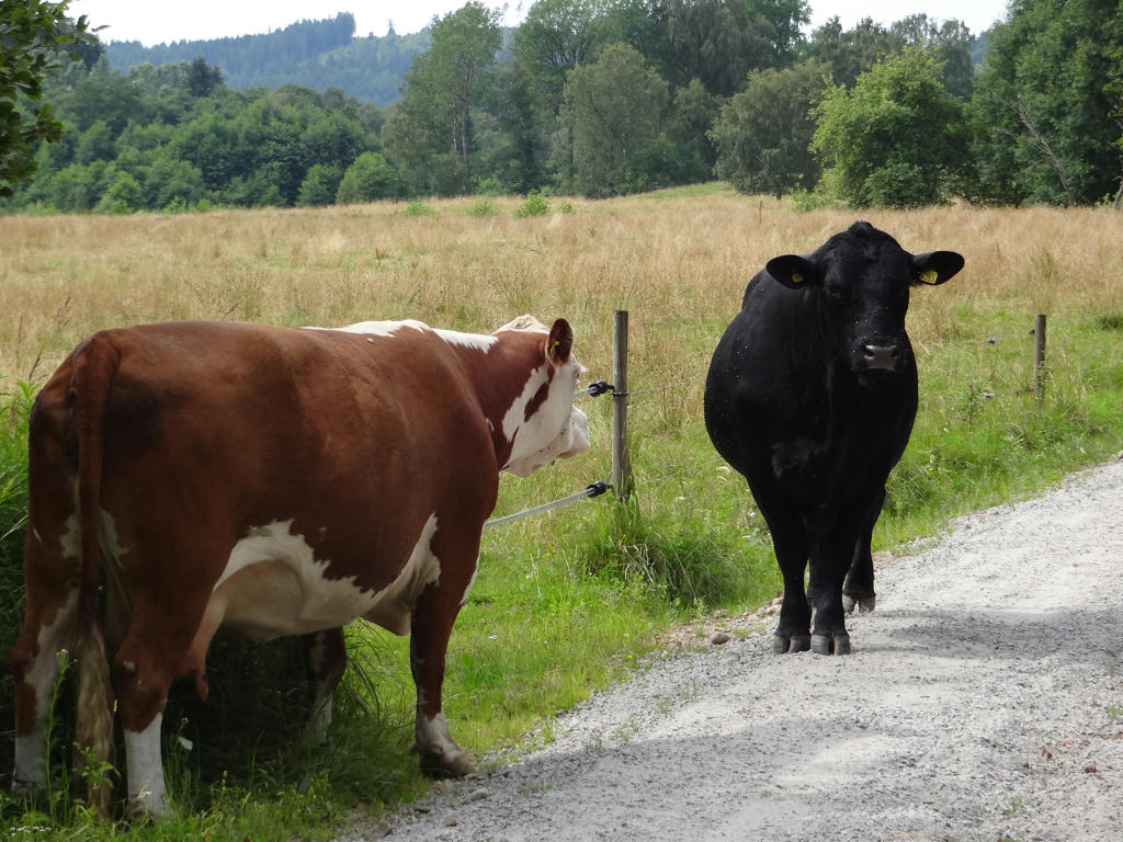
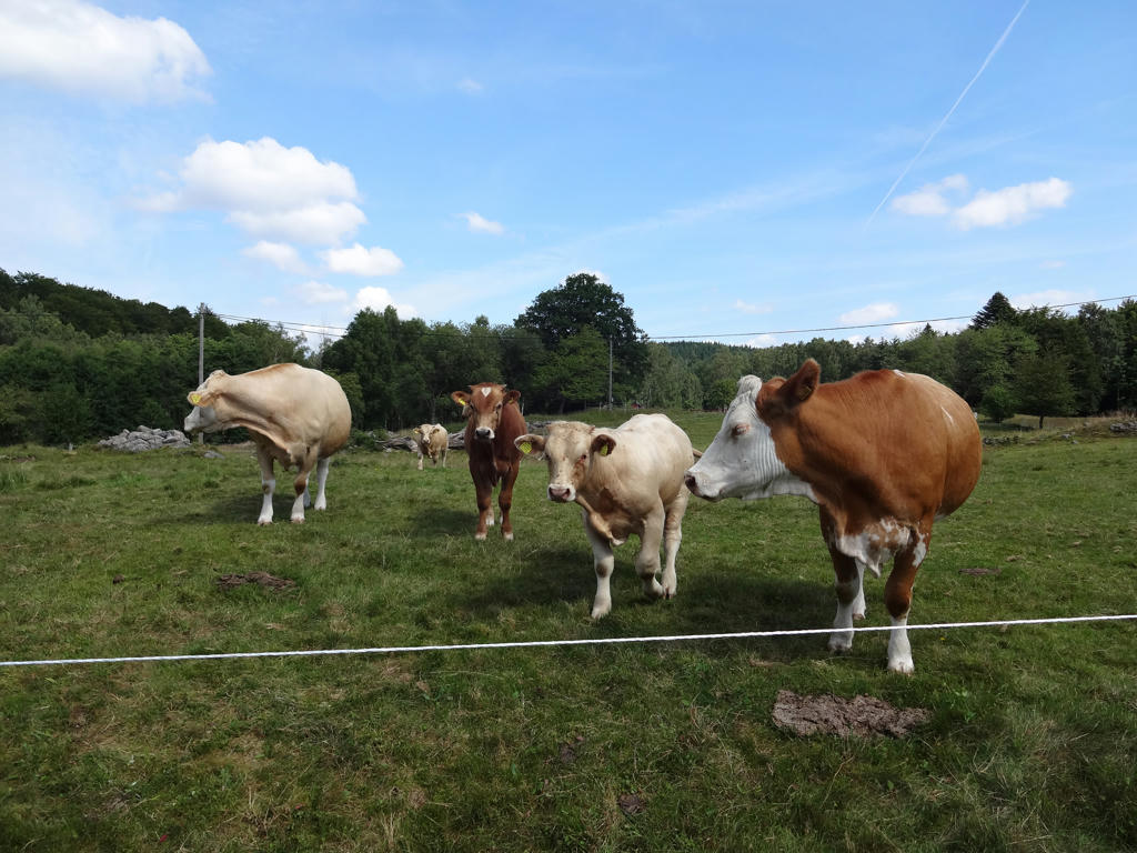
Not far from Knobesholm there was a cow and bull standing on the gravel way. Clearly they went outside their fence. The cow actually seemed very thirsty or sick. I didn't want to go near them (since the bull especially could be dangerous) and so I tried waiting for them to go away. However they just stood there and didn't want to go away.
23.
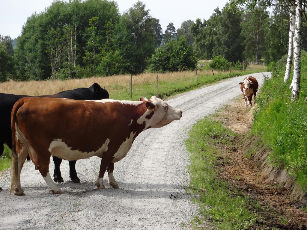
After a few minutes a calf arrived. It was mooing for a while before it arrived. So, anyways, after waiting for about 15 minutes I decided to walk on the right side by the road and walked around the cow family.
24.
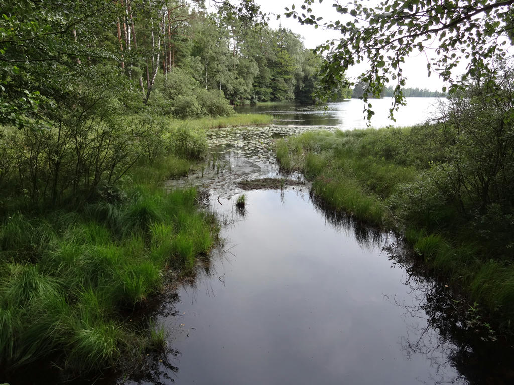
Borrsjön
25.
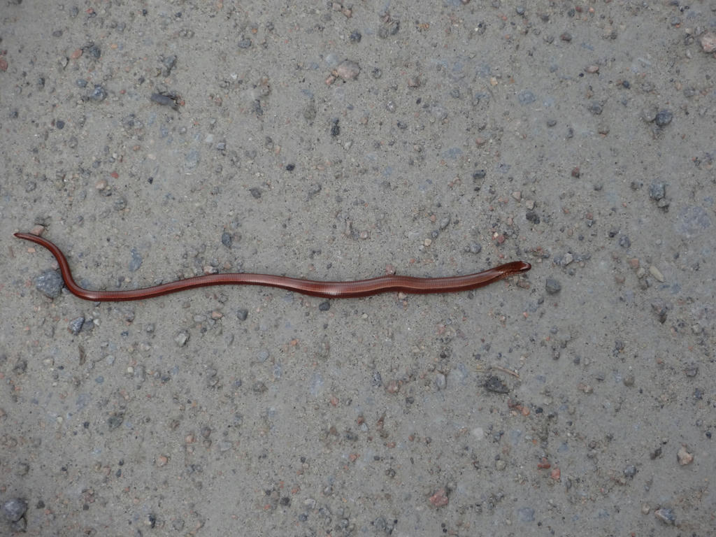
A slowworm.
26.
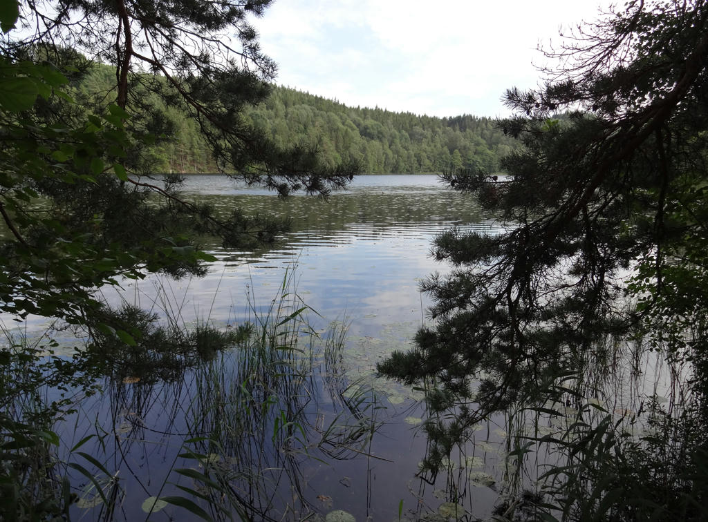
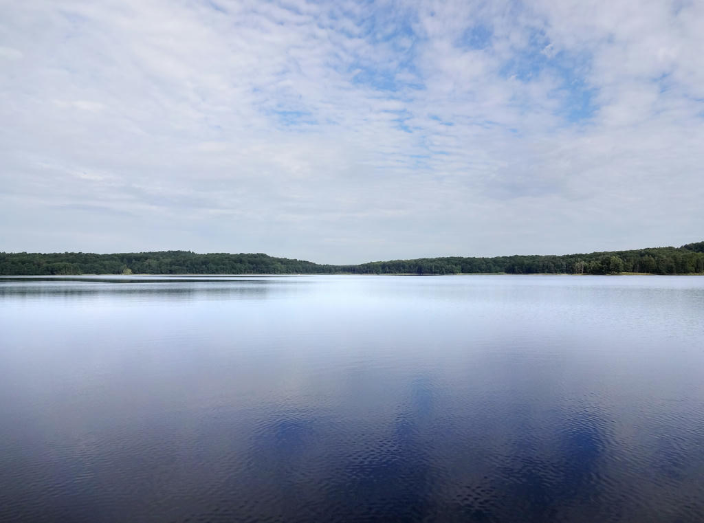
Käringasjön. Rotated and cropped the photo.
27.
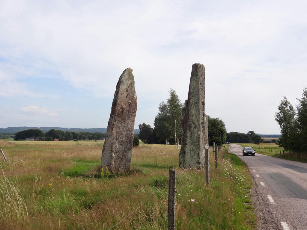
Iron age stones near Asige.
28.
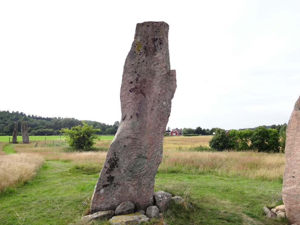
Iron age stone near Asige. The stone carving has a sun motive and shows six rings. Made the non-sky parts of the photo slightly darker using the curves tool.
29.
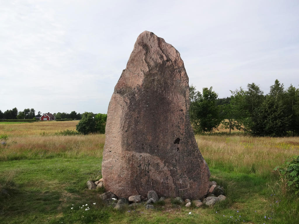
Another iron age stone near Asige. This one has a stone carving with a ship motive but it's very hard to see. Made the non-sky parts slightly brighter using the levels tool.
30.
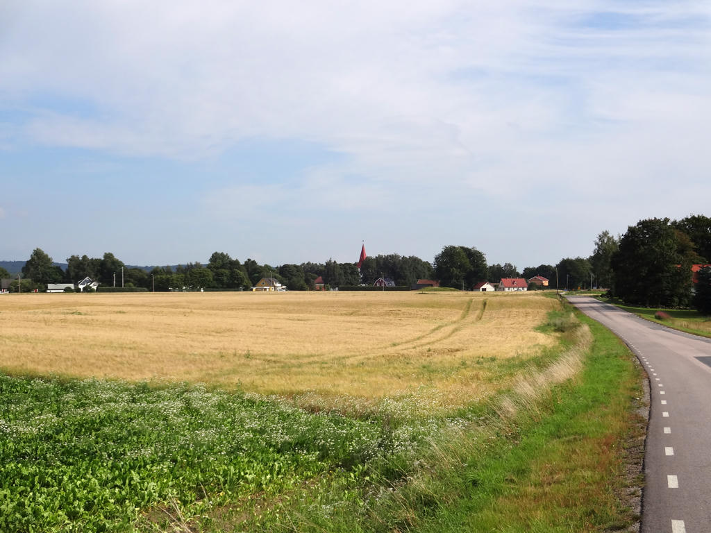
Asige. Make the photo brighter using the levels tool.
31.
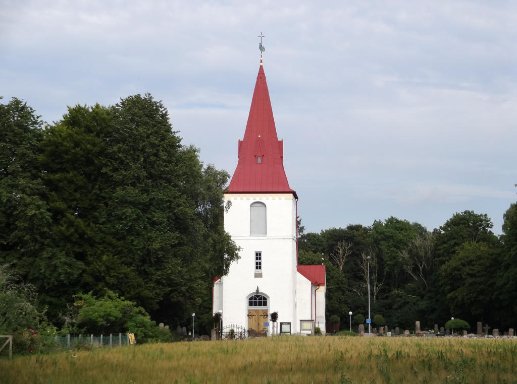
Asige Church
Rotated and cropped the photo. Also increased the brightness using the levels tool and further increased the brightness for the non-sky parts using the curves tool.
Rotated and cropped the photo. Also increased the brightness using the levels tool and further increased the brightness for the non-sky parts using the curves tool.
32.
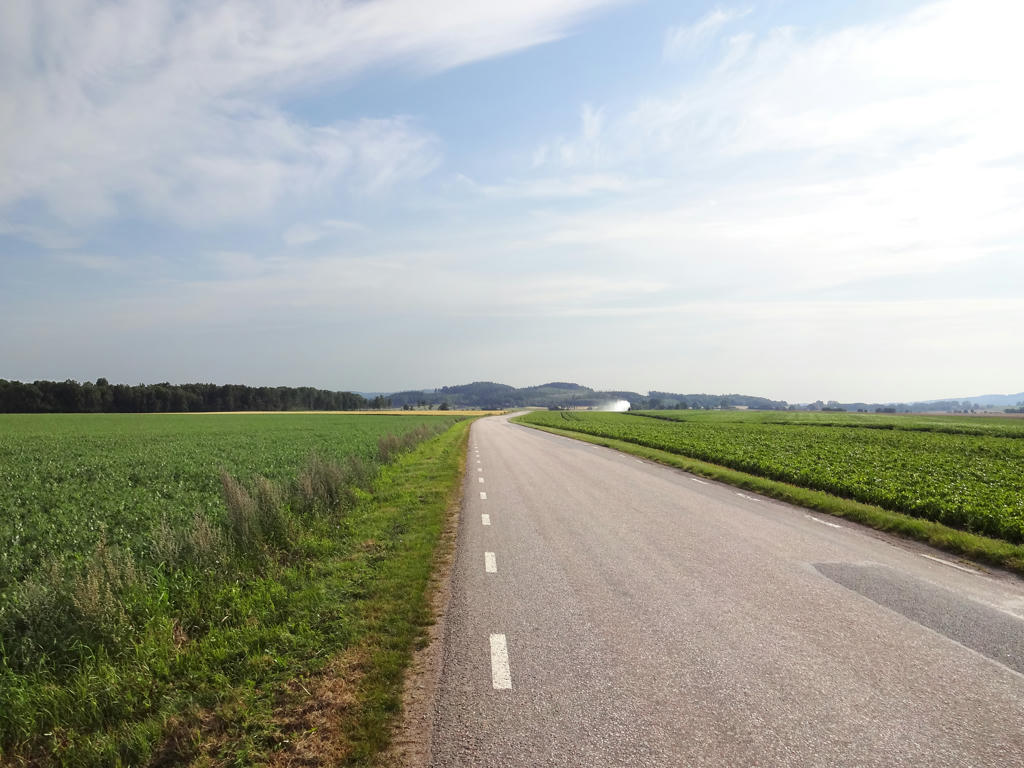
The last 5km of the walk went from Asige to Slöinge. This part is characterized by large scale farm land.
Made the non-sky parts brighter using the curves tool. I also used the clone tool at one place in the background due to an artifact which occured when I brightened the non-sky parts (since the selection wasn't perfect).
Made the non-sky parts brighter using the curves tool. I also used the clone tool at one place in the background due to an artifact which occured when I brightened the non-sky parts (since the selection wasn't perfect).