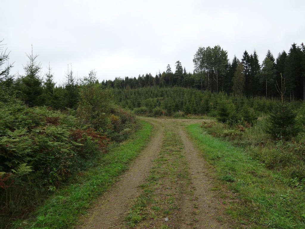
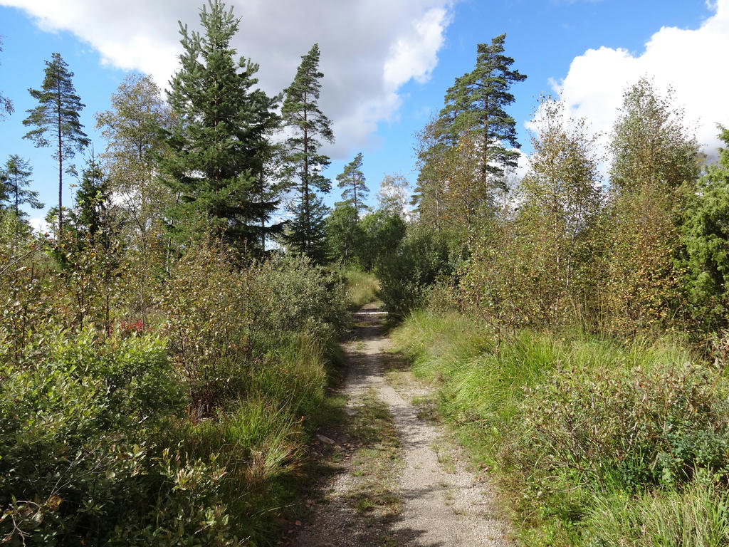
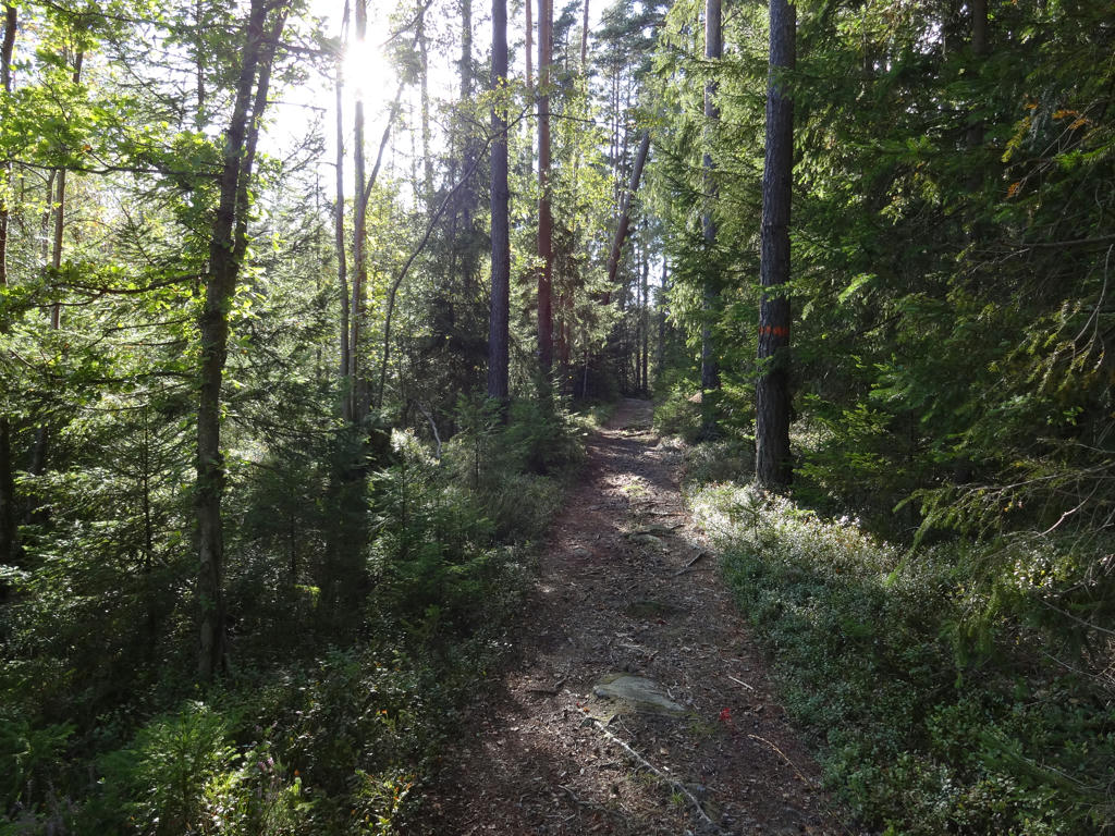
Already on Sunday I returned to the Sjuhäradsleden walks. I traveled to Björbostugan in Borås (where I started last time also) but this time I went in the other direction towards Olsfors. In total the walk was roughly 25.4km and took 6h29min. My average speed was thus 3.92km/h.
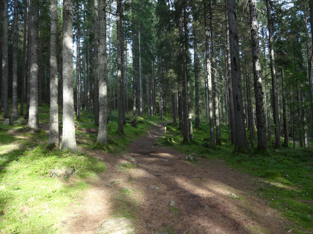
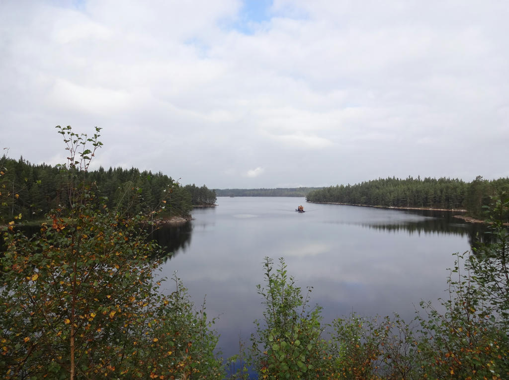
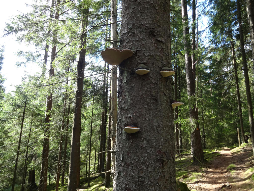
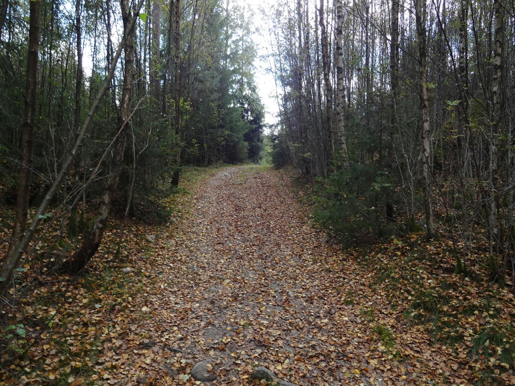
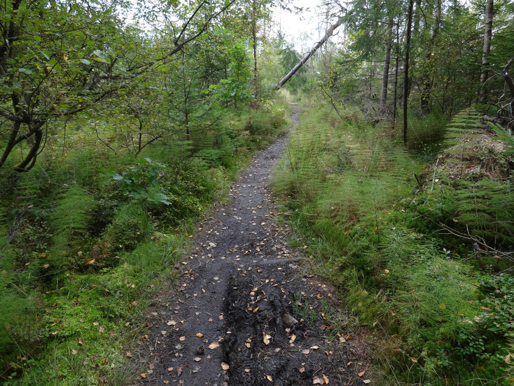
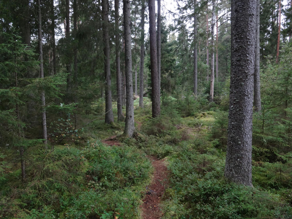
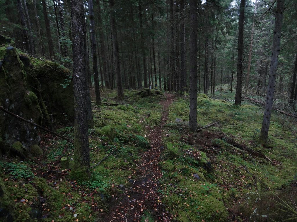
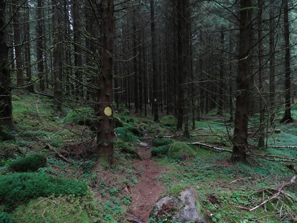
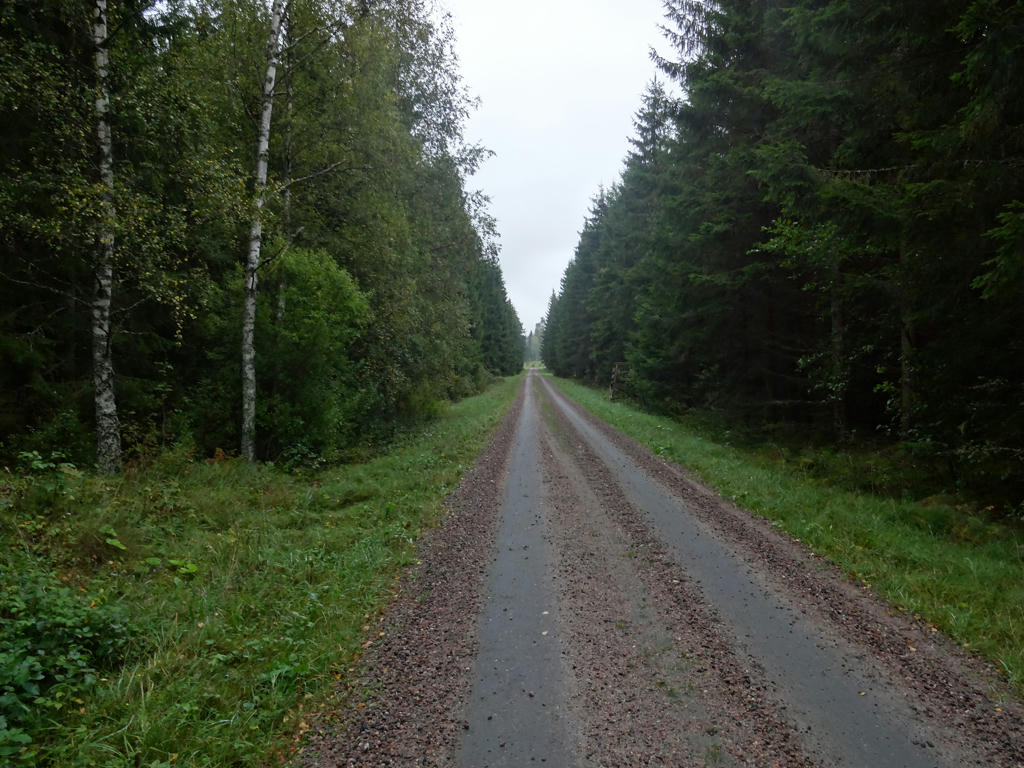
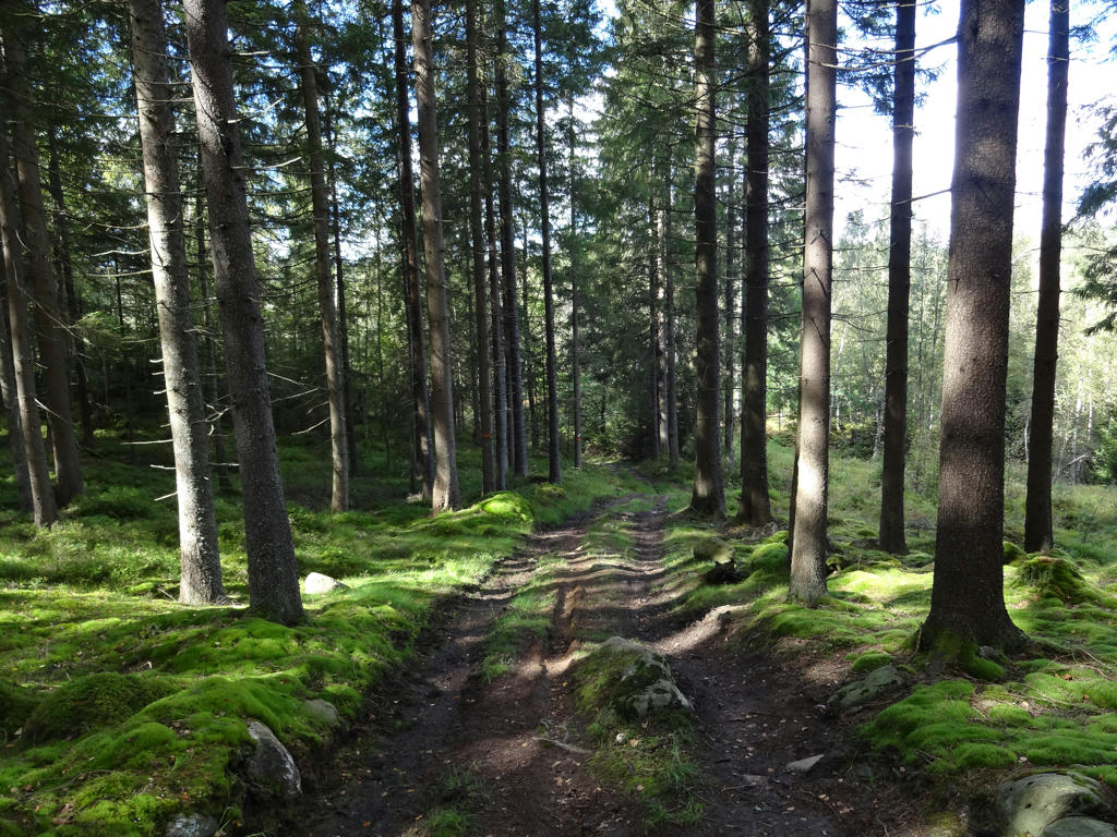
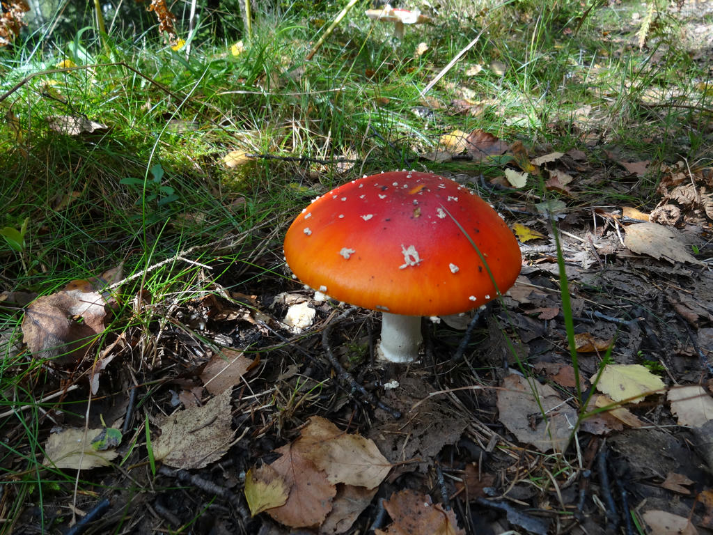
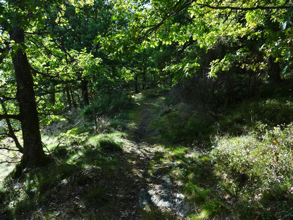
Overall it was a nice/interesting walk with plenty of walking on trails in the woods and also with small villages and small scale farm land along the way. It can be noted that Sjuhäradsleden has much more walking on trails in the woods compared to Hallandsleden (not to mentioned Gislavedsleden, which I will get to at a later date once the Sjuhäradsleden blog posts are finished) and for this specific walk it is especially true. In that sense it is quite similar to typical Bohusleden walks, however Bohusleden is harder in general. One thing I forgot to mention when writing the blog post for Sjuhäradsleden Walk #2 between Brunns Kyrka and Brämhult in Borås was that deer flies started to appear around that time. Deer flies (or älgflugor as they are known in Swedish (which can be translated as moose flies)) are more annoying than ticks. While ticks attach to the skin to suck blood and spread diseases that way, deer flies are like flying ticks that try to crawl into the skin and lay eggs. Sure, they can't fly far but that doesn't stop them from being very annoying and disrupting when walking. In some places there are especially many of them. In fact when I walked Vättlefjällsleden in 2015 there was a stretch where I got attacked by several deer flies per minute for maybe up to 20 minutes. Thankfully none of them attached to the skin. Anyways, the point is that deer flies are annoying and it makes walking less enjoyable when they appear. They appear during late August and during autumn and with the exception of Sjuhäradsleden Walk #3 between Björbostugan and Brämhult, in all of the walks in 2016 after Sjuhäradsleden Walk #2 I had at least some encounters with deer flies. Deer flies seem to appear especially in the woods and near bogs. Either way, while deer flies are annoying they didn't stop me from enjoying this walk and the rest of the walks in 2016. Without further ado I present some of the photos from this (in some ways very beautiful) walk. Enjoy!
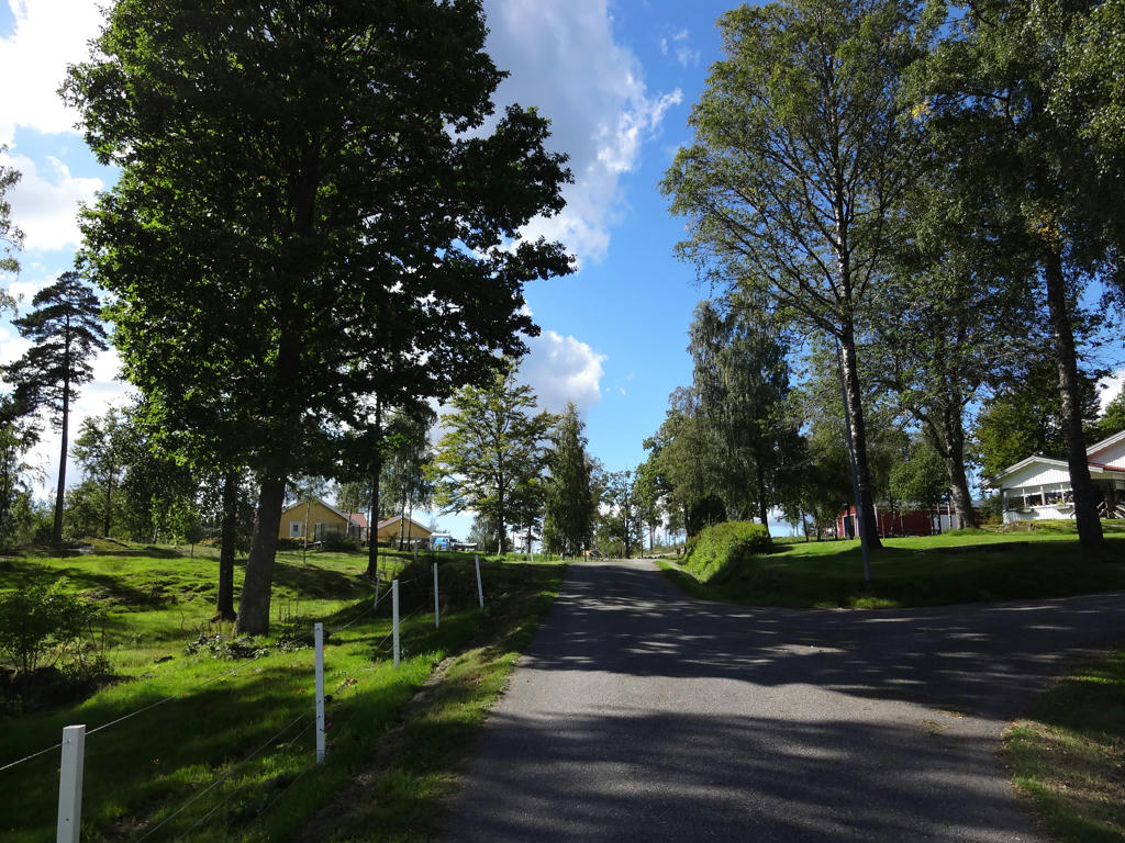
1.
Used hue restorer plug-in to get rid of the cyan-ish sky parts.
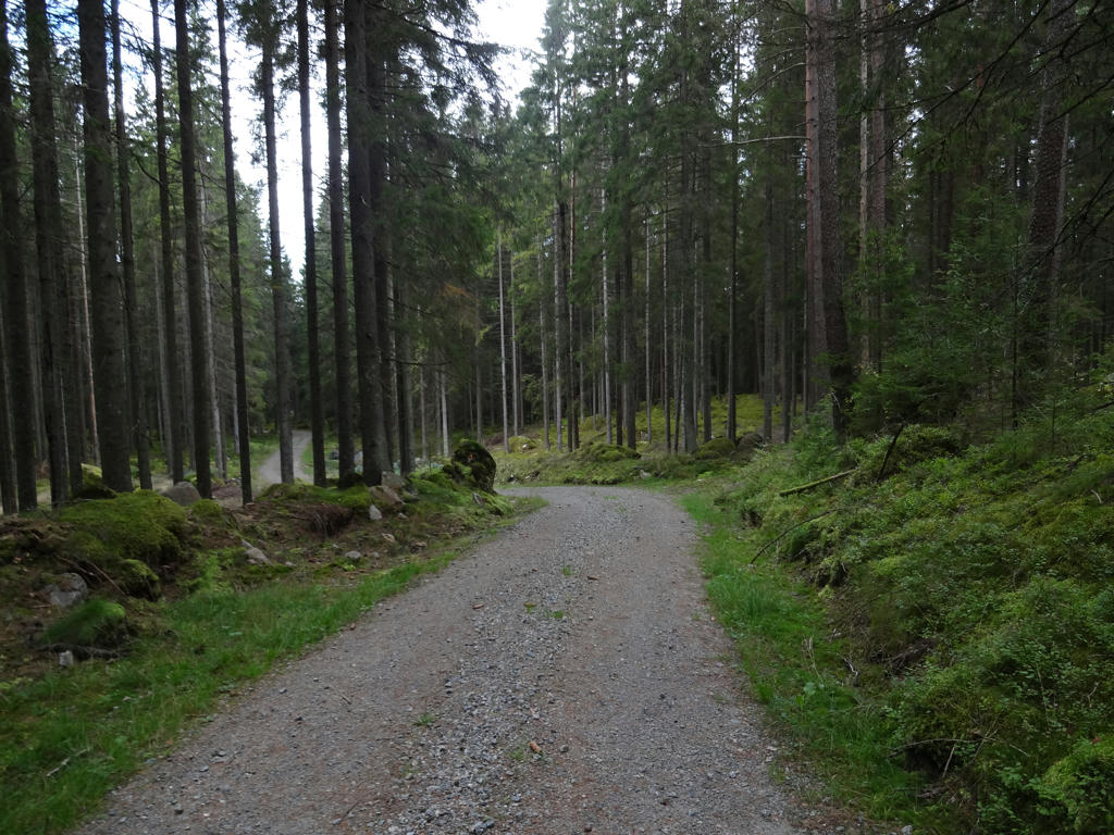
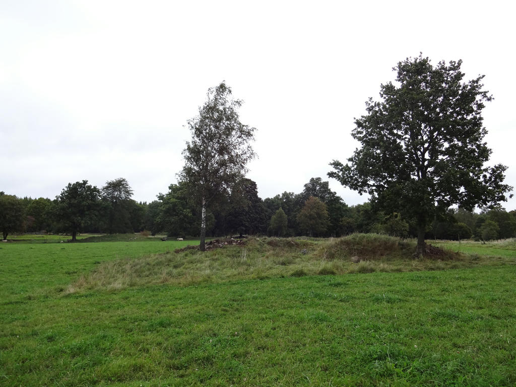
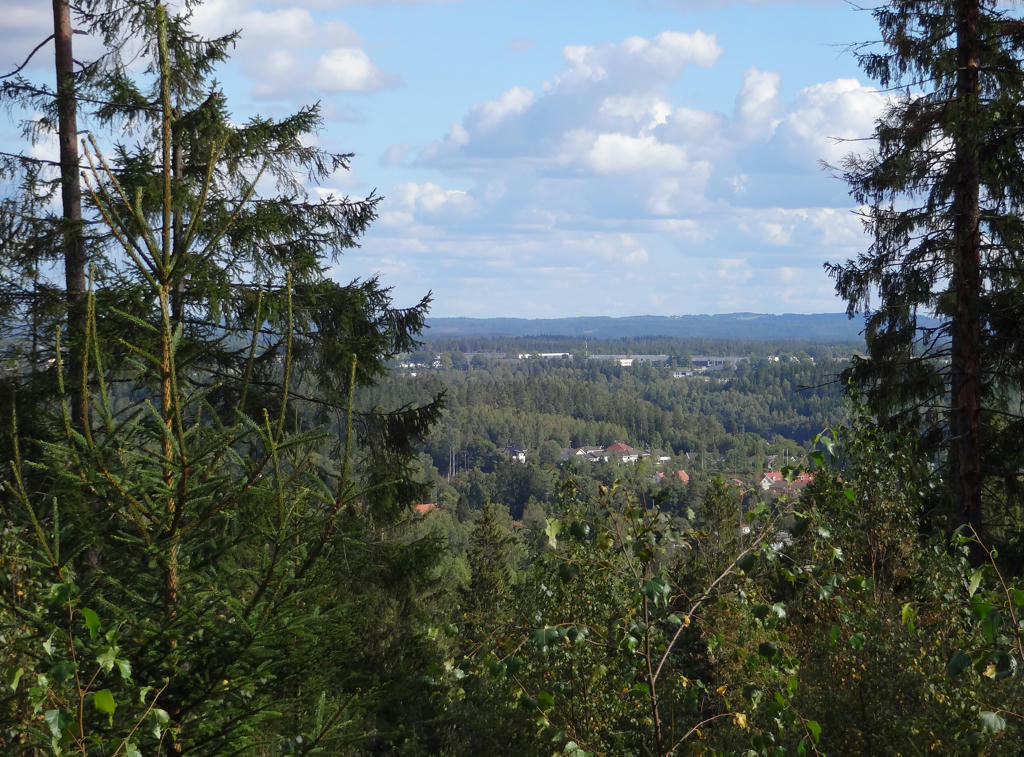
2.
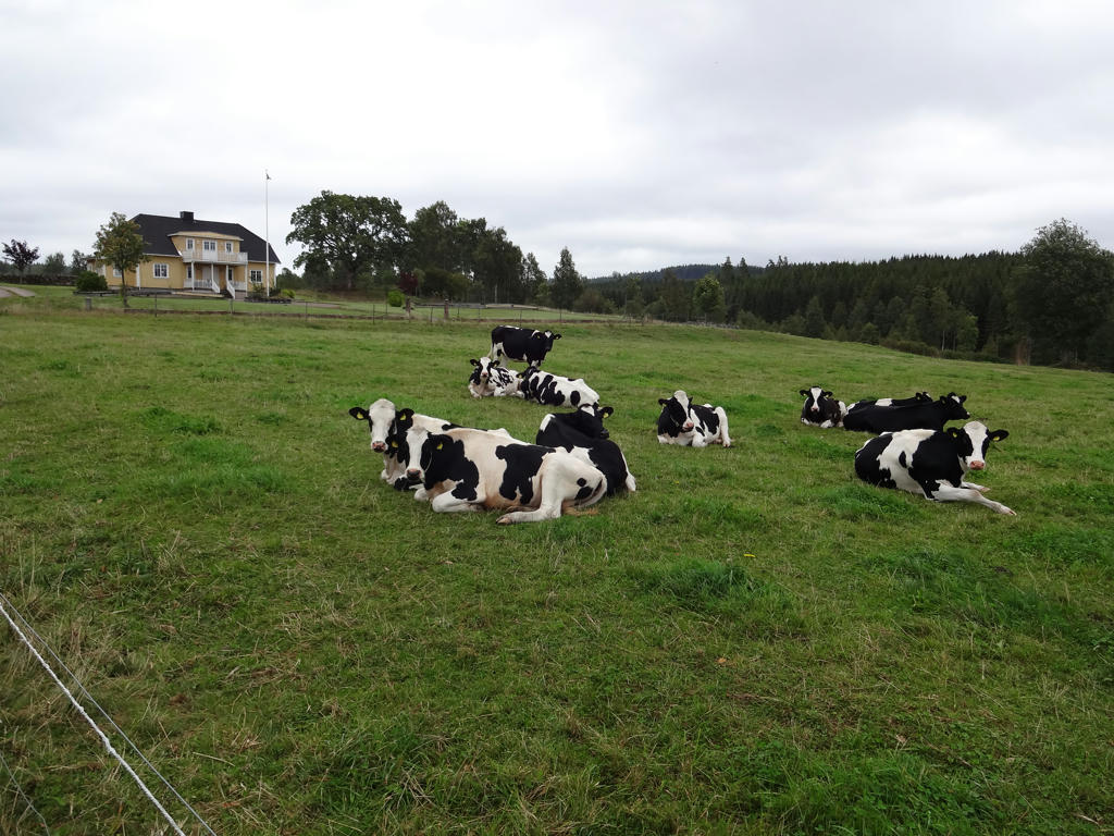
"Björbo Hage
This is an ancient landscape, with a long history of habitation. The large cairns created when the land was cleared for farming can still be seen, as can the clearly-marked field boundaries - terraced edges."
Used hue restorer plug-in to get rid of the cyan-ish sky color. Then for the non-sky parts I increased the brightness slightly.
3.
4.
5.
6.
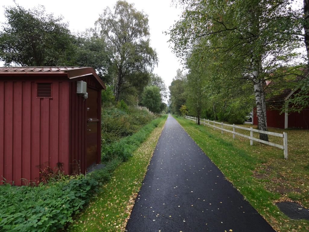
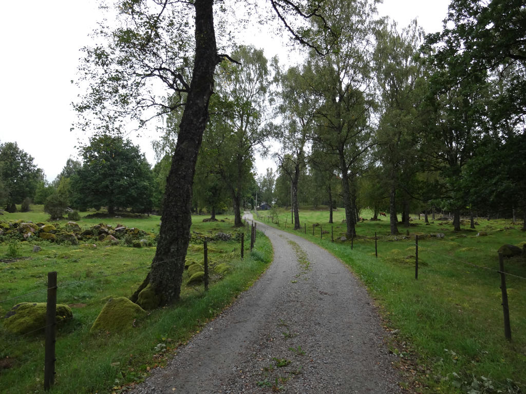
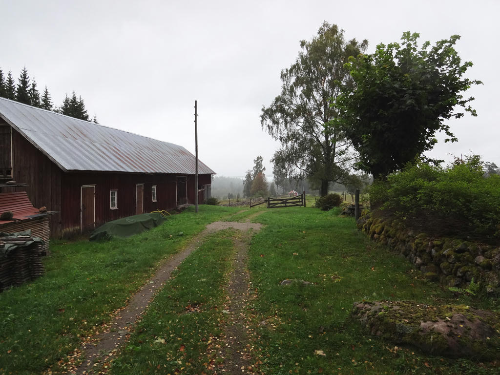
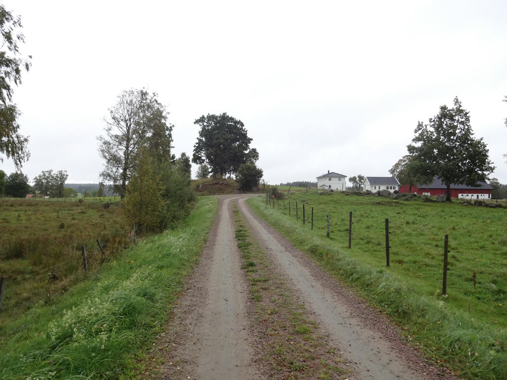
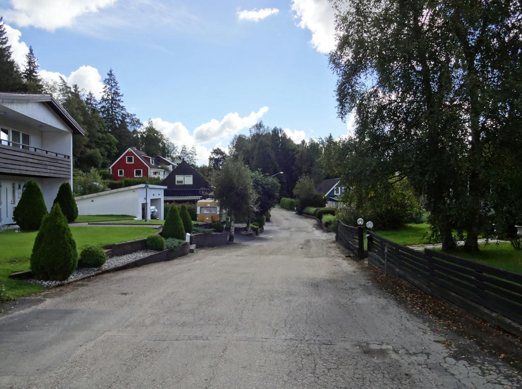
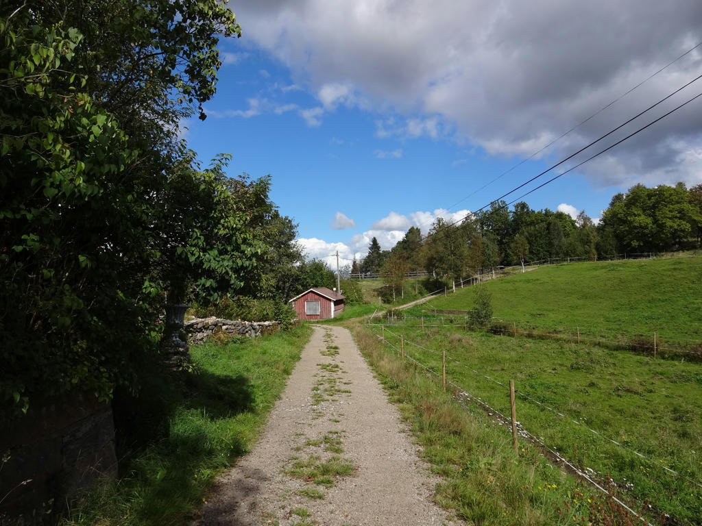
A residential area in Ekås. In the next residential area I passed through I managed to get a bit lost actually but it wasn't too bad, just lost a few minutes. Rotated and cropped the photo. Then I increased the brightness for the non-sky parts using the levels tool.
7.
Used hue restorer plug-in to get rid of the cyan-ish sky parts.
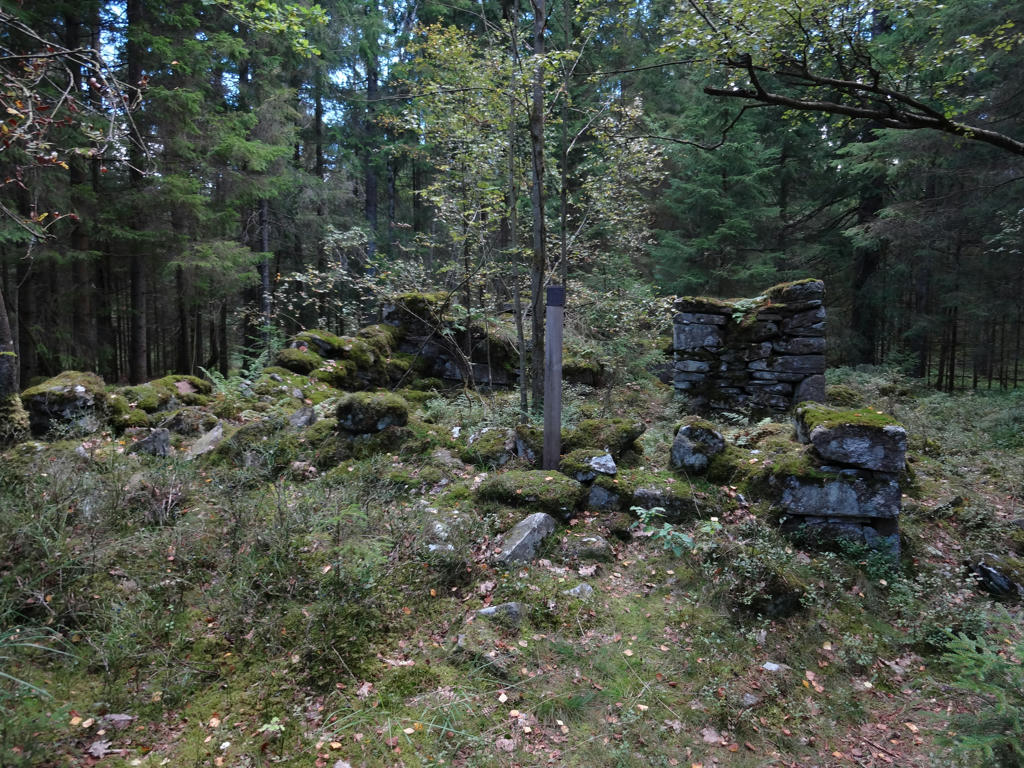
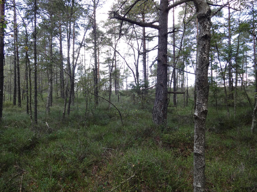
8.
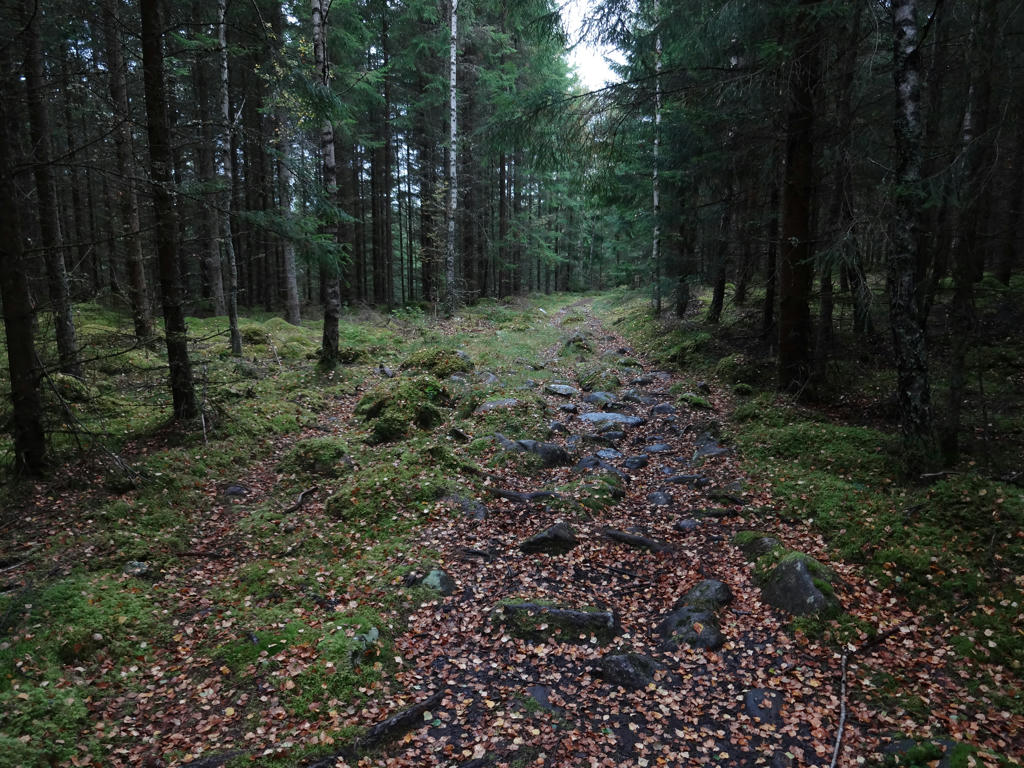
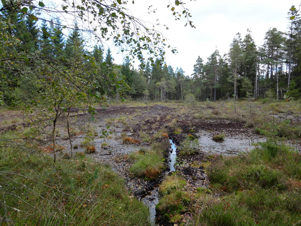
"Peat cutting
Traces from a small area where peat was cut."
Used hue restorer plug-in to get rid of the cyan-ish sky parts. I also darkened the photo slightly using the levels tool and increased the contrast slightly.
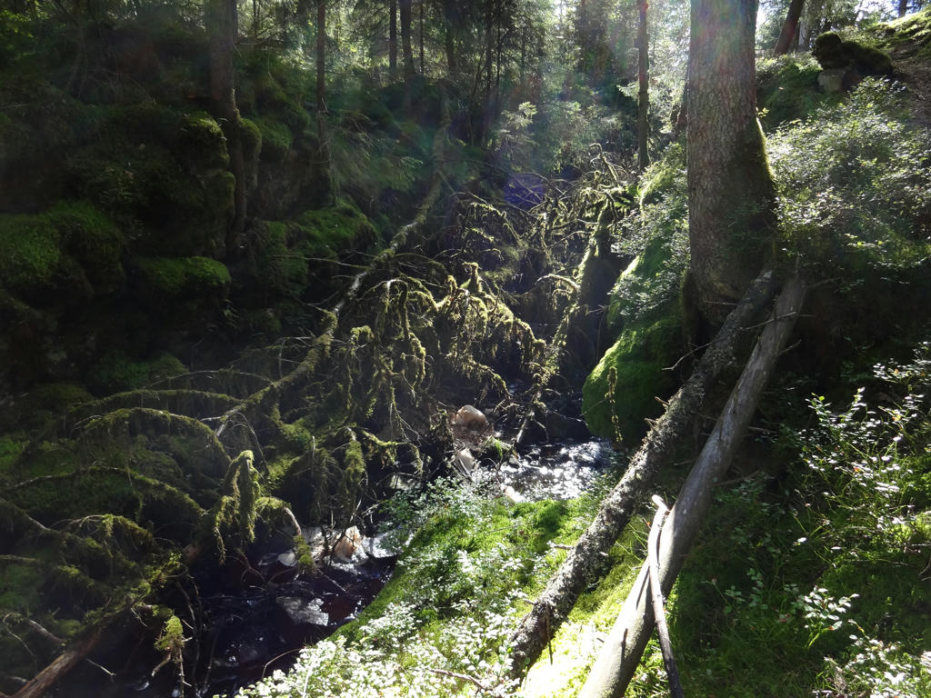
9.
10.
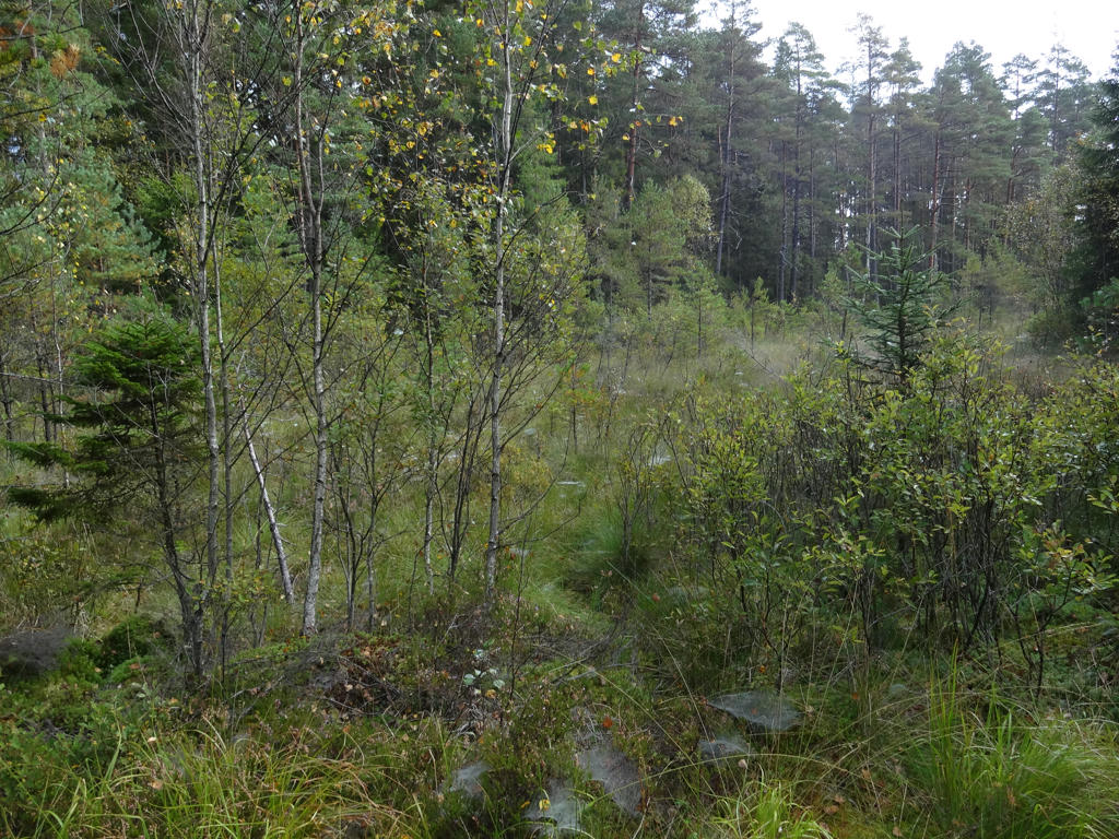
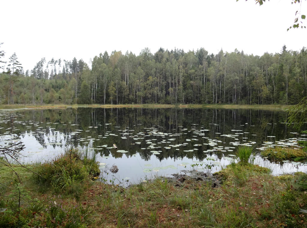
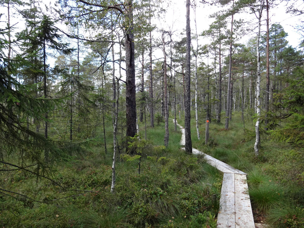
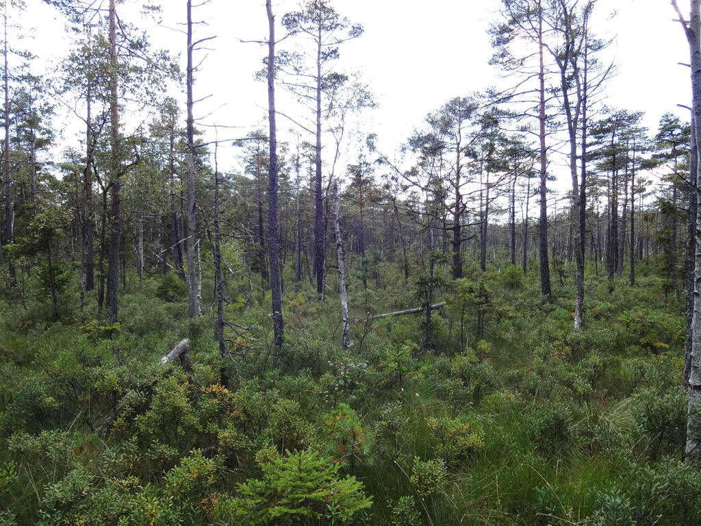
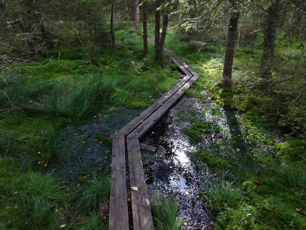
"Långemossen
The path crosses the Långemossen wetland area. It can be difficult to negotiate after heavy rain."
For the non-sky parts I increased the contrast slightly.
11.
Långemossen. Using curves tool I first increased the contrast slightly and then brightened the photo slightly.
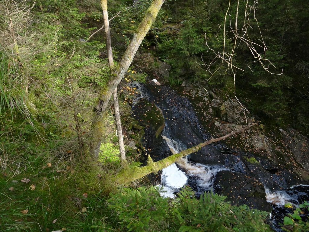
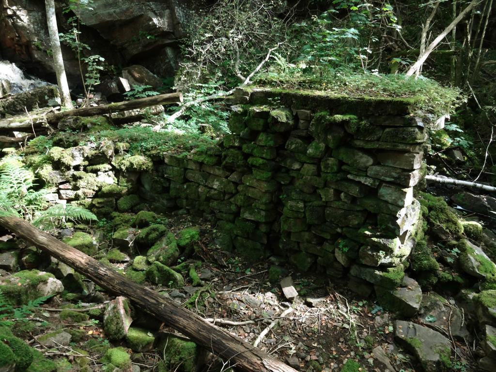
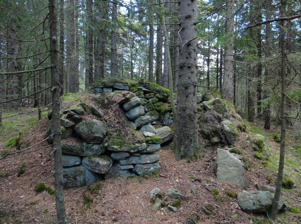
12.
Remains of a mill at Kvarnbäcken Brook. Reduced the blue cast by reducing the effect of the blue channel using the curves tool.
13.
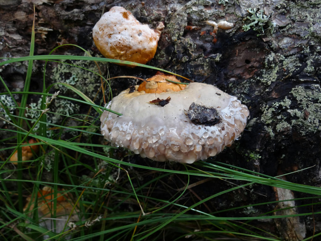
Sharpened the image slightly using unsharp mask.
14.
15.
Brightened the photo slightly.
16.
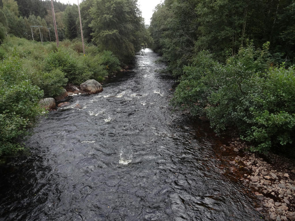
17.
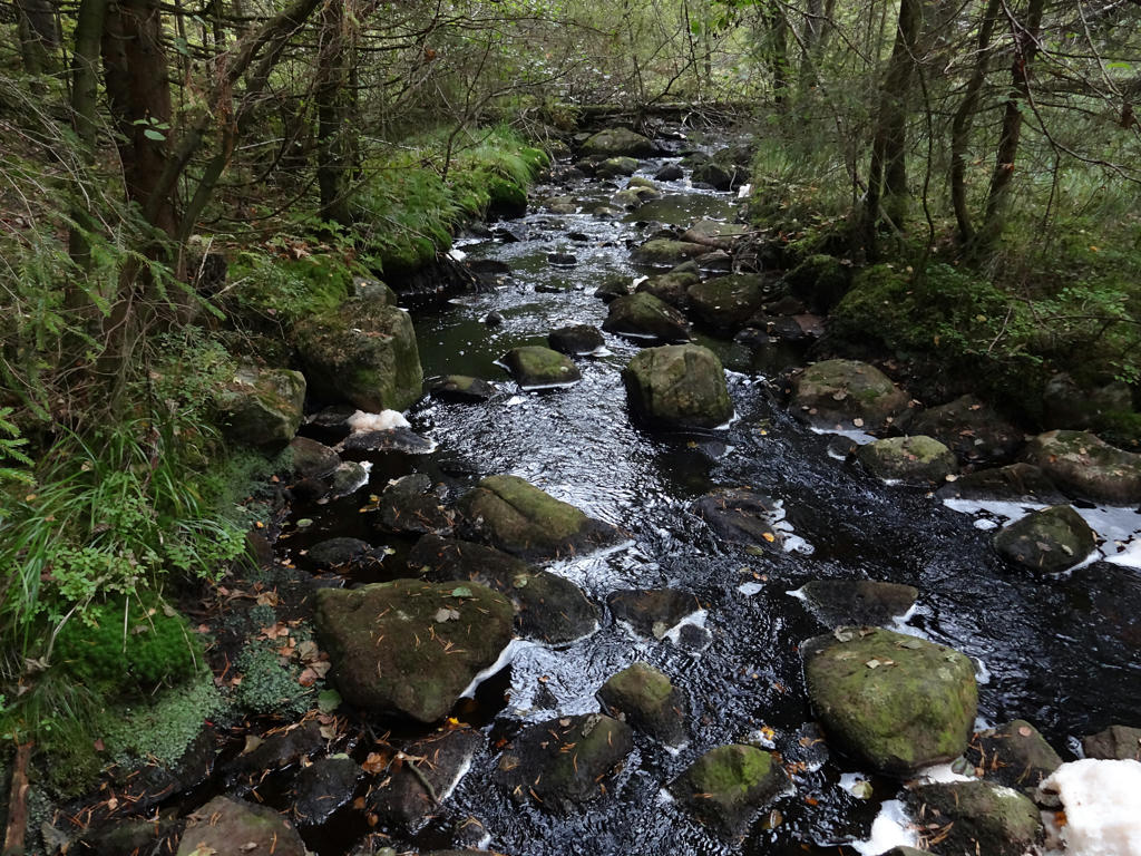
"Mölnebäcken
The Sjuhäradsleden long-distance path passes Lake Mölnesjön and carries on across Mölnebäcken Brook. Mölnebäcken has a Class II rating - very high eco value - in the City Of Borås eco system assessment. It is also historically significant since, for many hundreds of years, several small mills operated here."
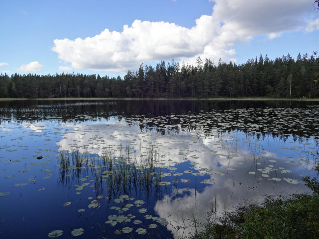
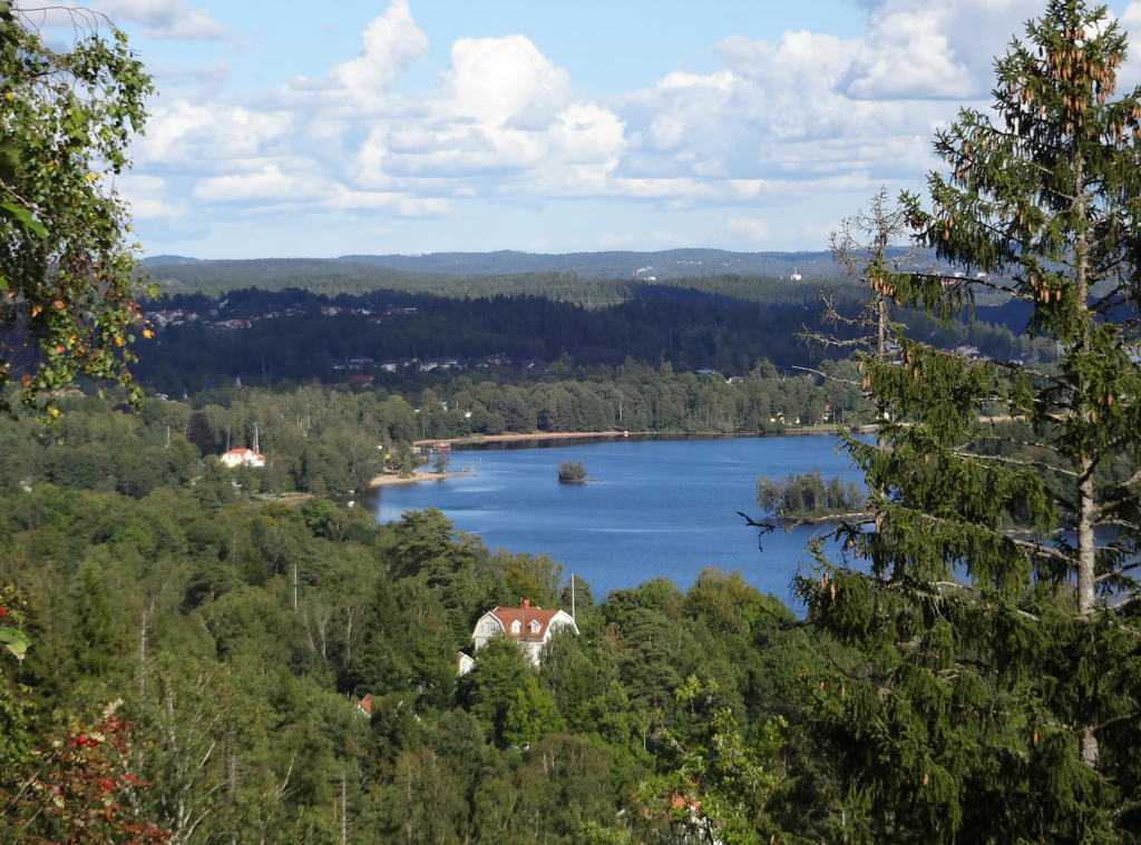
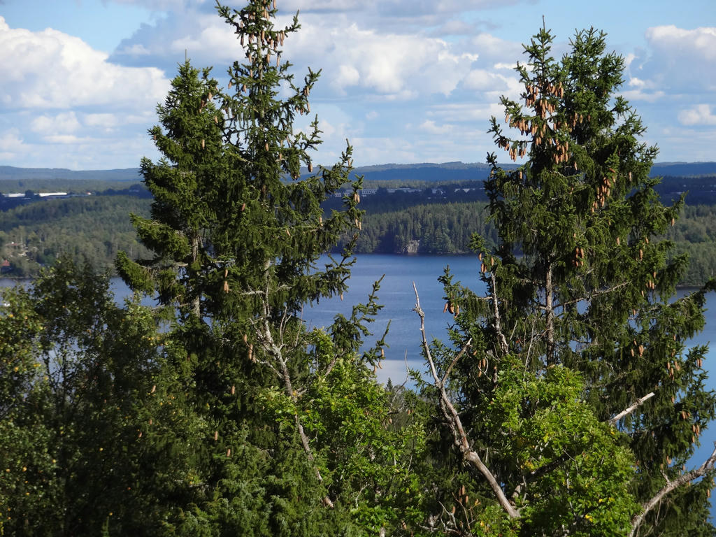
18.
19.
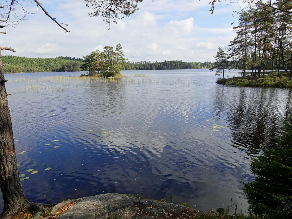
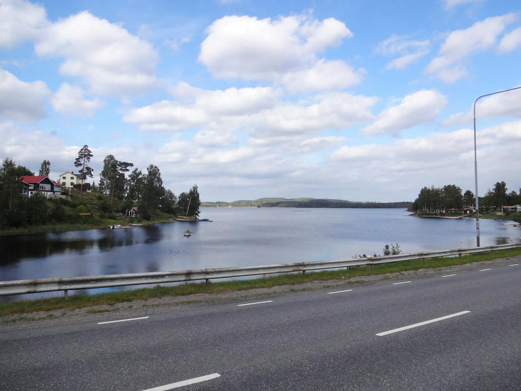
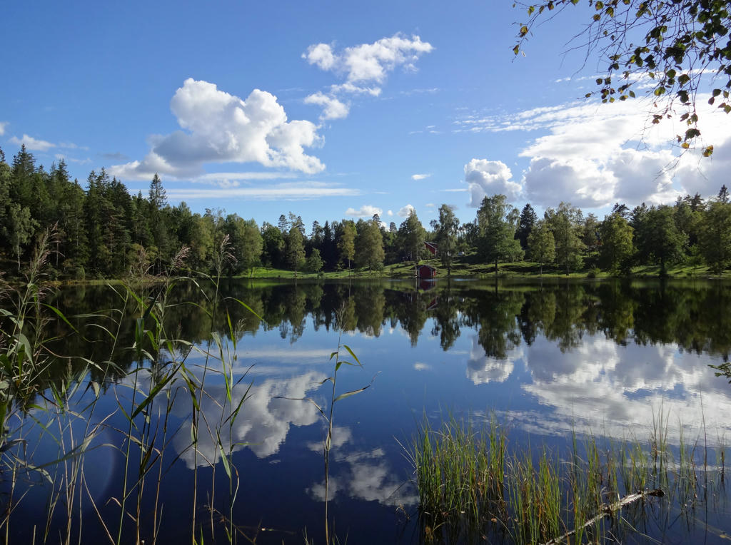
Mölnesjö
20.
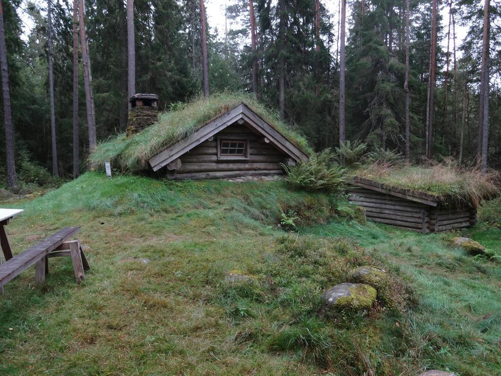
Mölnedal
Mölnedal's croft was inhabited from 1866 by the crofter Sven Magnus Johansson and his wife Anna Stina Svensdotter. They married on New Year's Eve in 1864, however they lived separately until 1966 when they moved in together.
The same year they got their only child, the daughter Amanda Sofia, who however became only roughly one week old.
Sven Magnus was born in Vimmerby and one can wonder how a man from Vimmerby ended up in these regions. In Vimmerby, Sven Magnus was a stooge for the merchant Anders Alexander Ählström who in 1850 bought the farm in Hällered, a couple of kilometers north of Sandhult. In connection to Ählström's move to Hällered, Sven Magnus was one of the six stooges and skivvies who followed along. The Ählström family moved to Göteborg after just two years but Sven Magnus decided to stay in Sandhult.
21.
22.
Anneberg
In 1865 Andreas Eriksson and his family moved in to Anneberg. Andreas had previously been the owner and farmer at one of the farms in Torp, but for some reason had to move from there and instead became a crofter at Anneberg.
Andreas was married to Anna Britta Andersdotter and together they had the children Emil, Adolf, Mathilda, Ludvig, August, Emelie and Albertina. The croft was abandoned at the end of the 1800s after both Andreas and his wife died and all of the children moved out.
Rotated and cropped the photo.
23.
24.
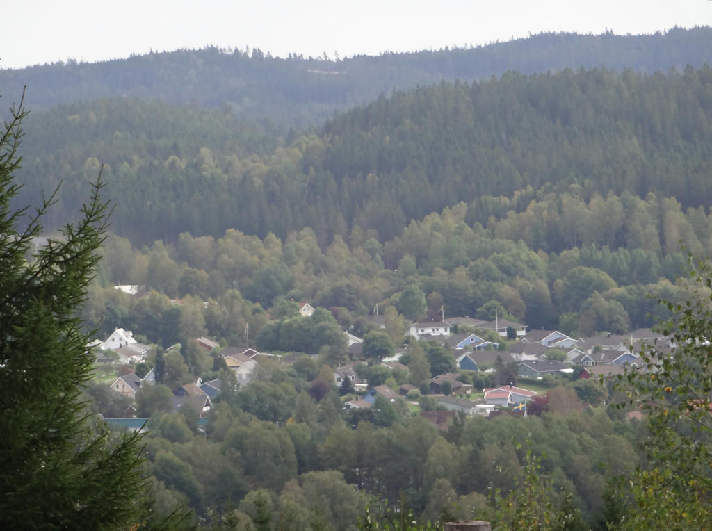
View of Sandared. Rotated and cropped the photo.
25.
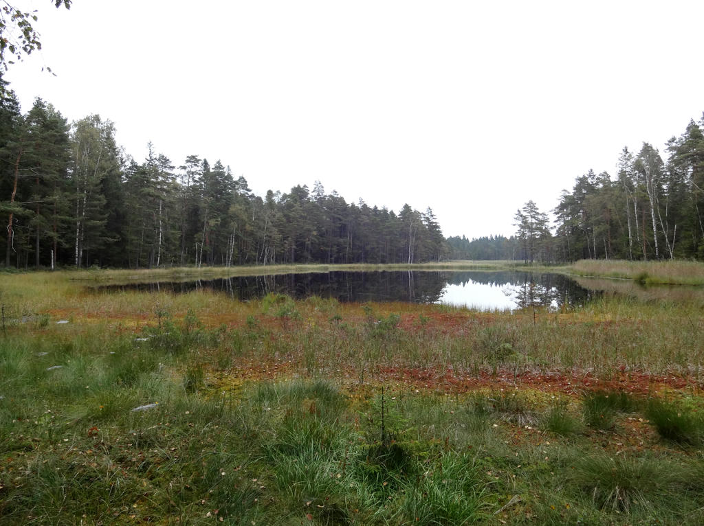
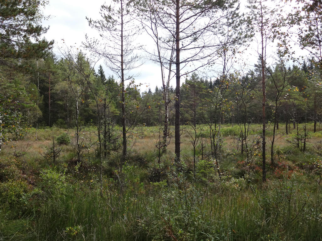
"Håmossen
The large Håmossen wetland area is to the north of the Sjuhäradsleden long-distance path. It is rated a Class I site (Highest possible eco value) in the City of Borås eco system assessment."
Rotated and cropped the photo.
26.
View from a gazebo. The lake in the background is Viaredssjön and parts of Sandared can also be seen. Rotated and cropped the photo. Also used the hue restorer plug-in to get rid of the cyan-ish sky parts.
27.
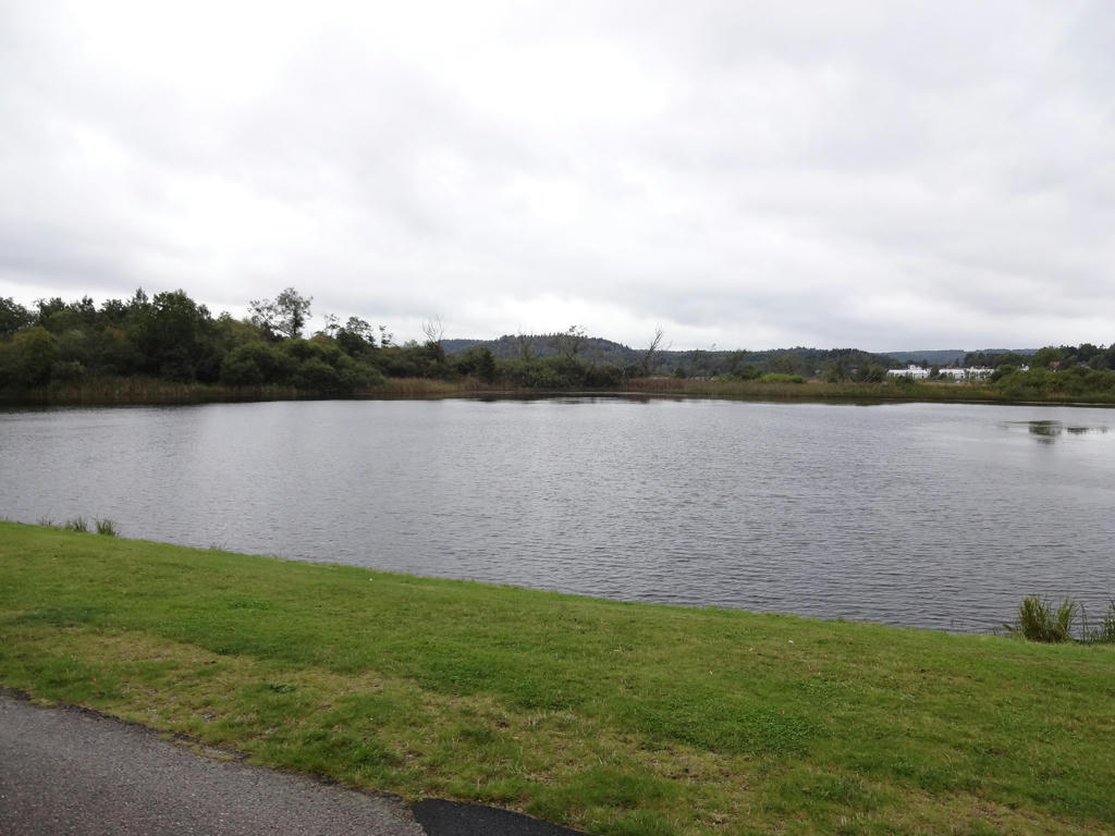
Another view of Viaredssjön.
28.
29.
Near Fjälla I went in the wrong direction, got a bit lost and came across Fjällsjön. For such a view it was absolutely worth it to get lost. Rotated and cropped the photo.
30.
31.
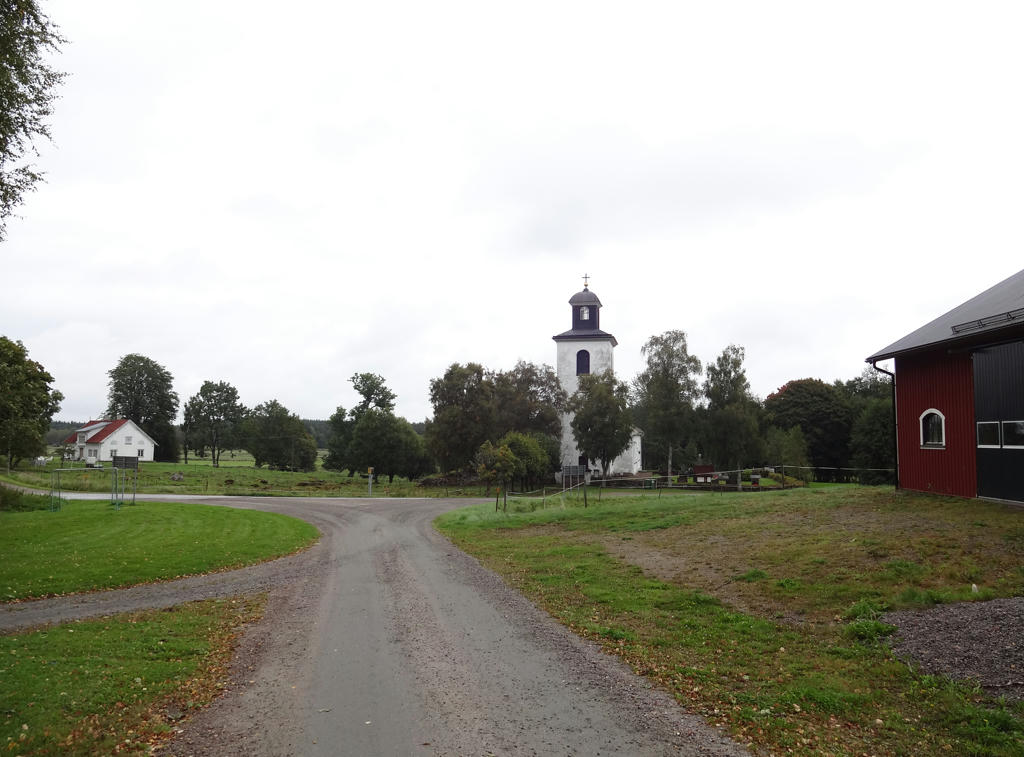
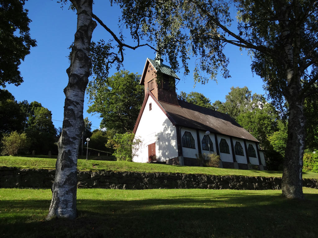
Olsfors church.