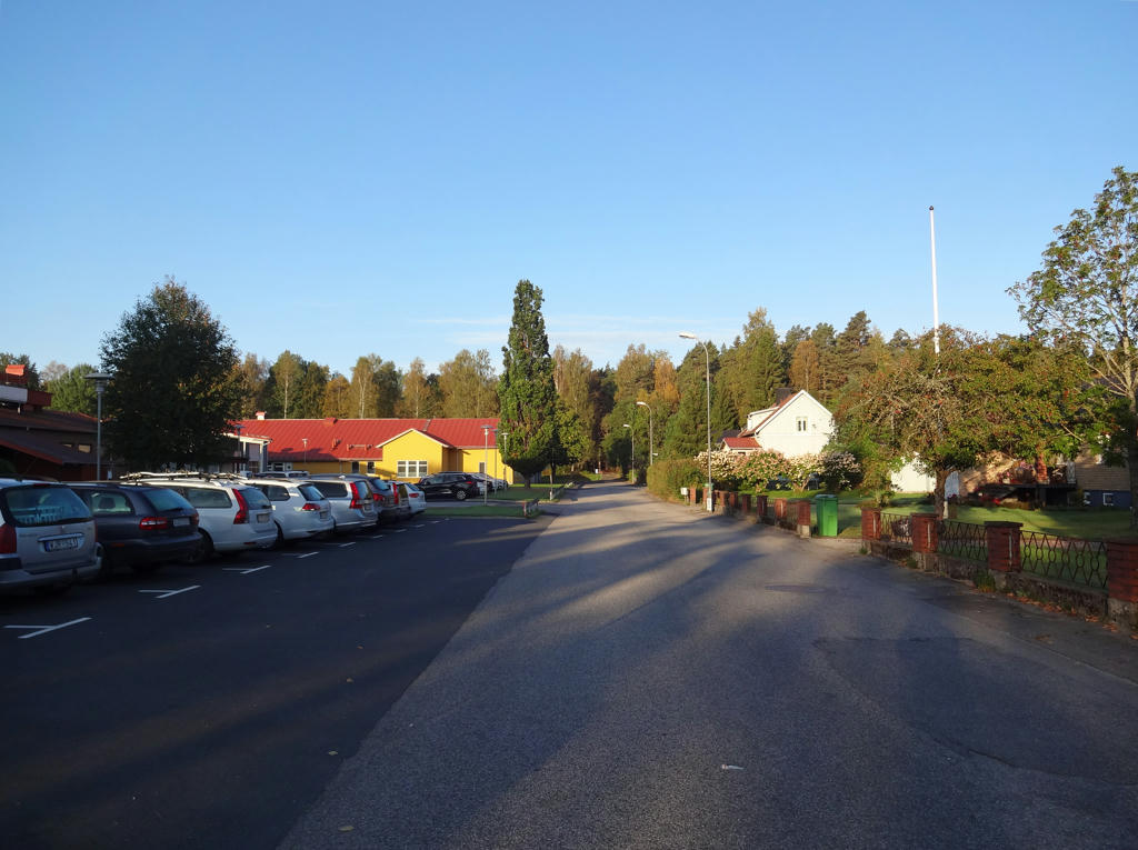
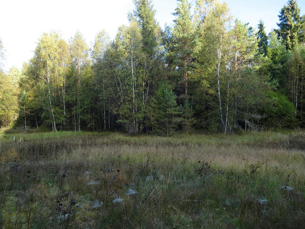
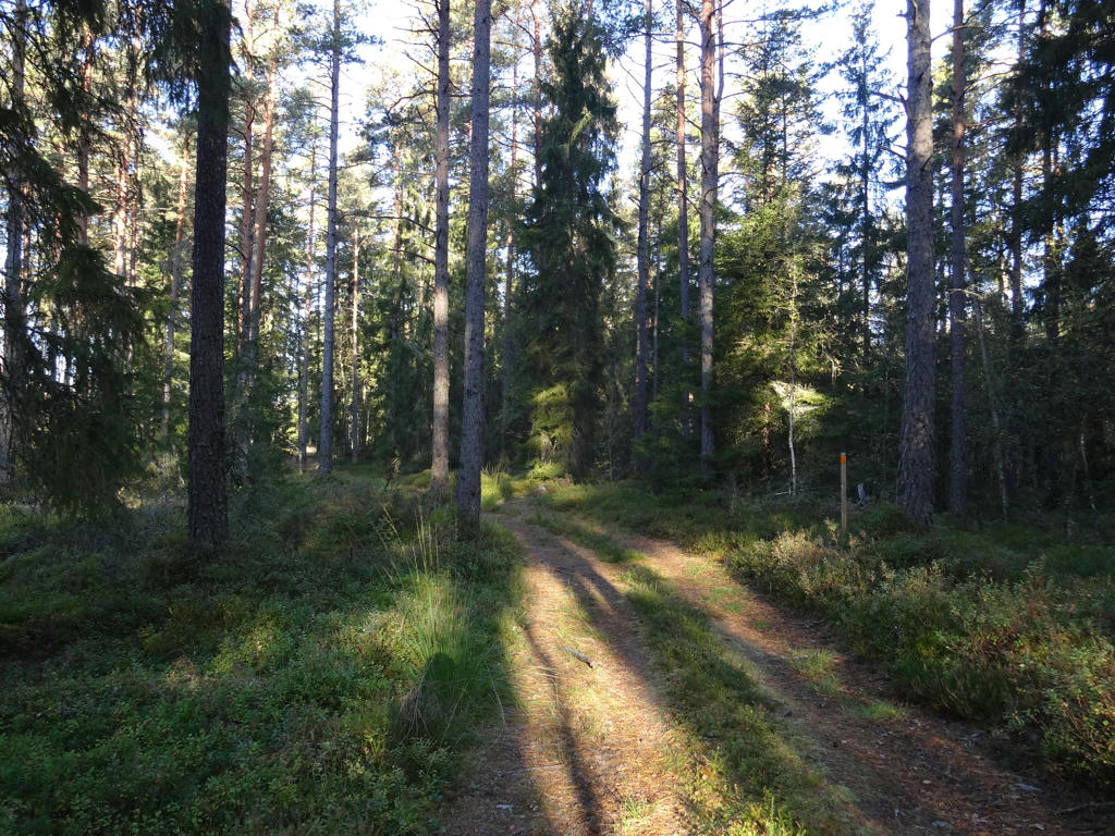
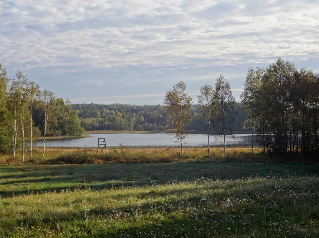
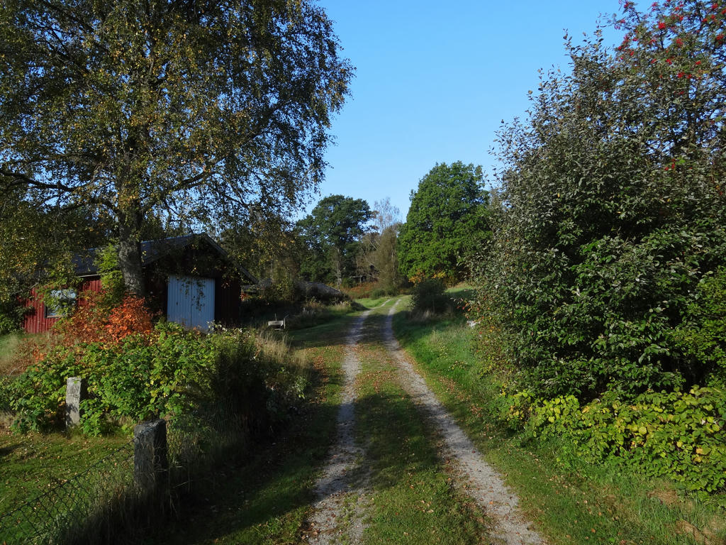
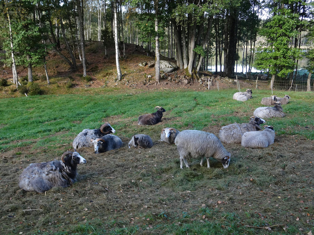
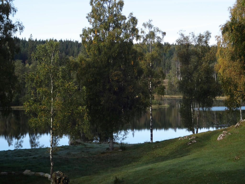
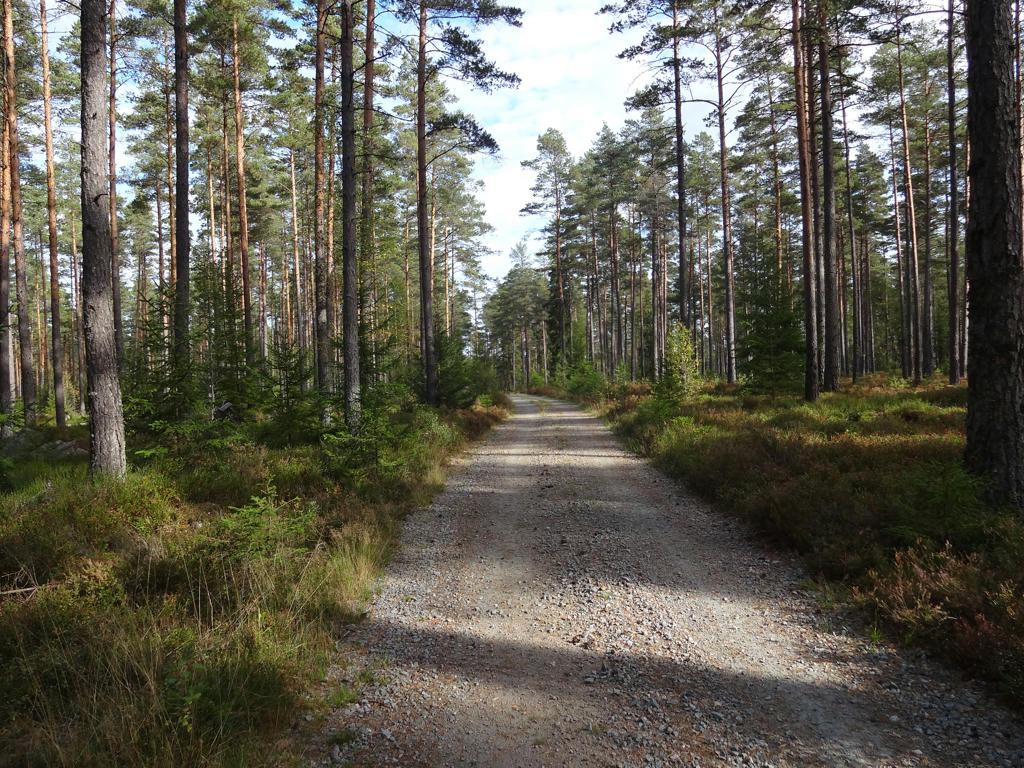
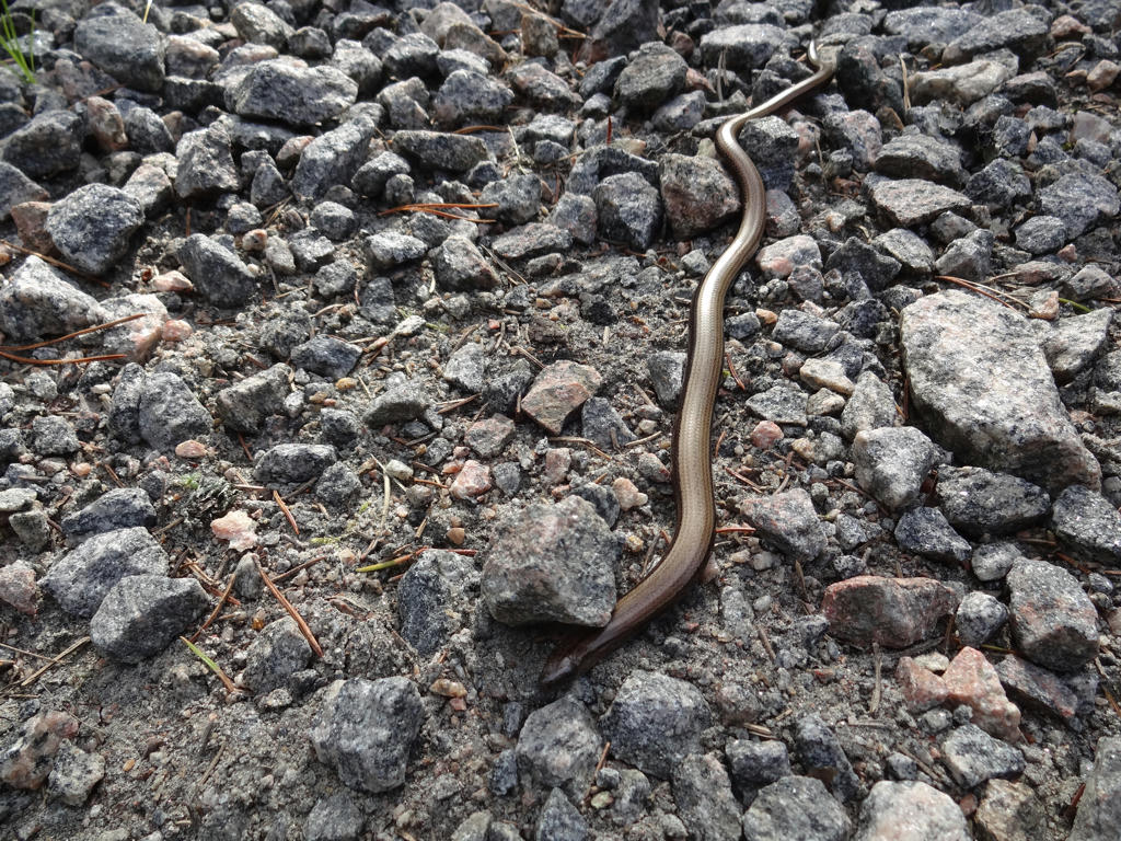
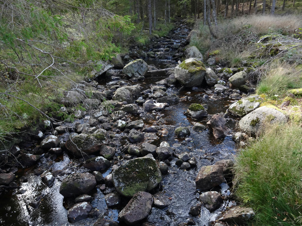
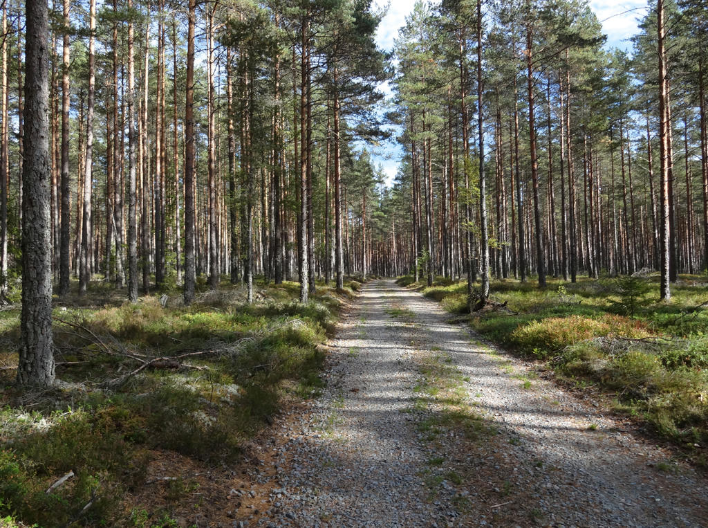
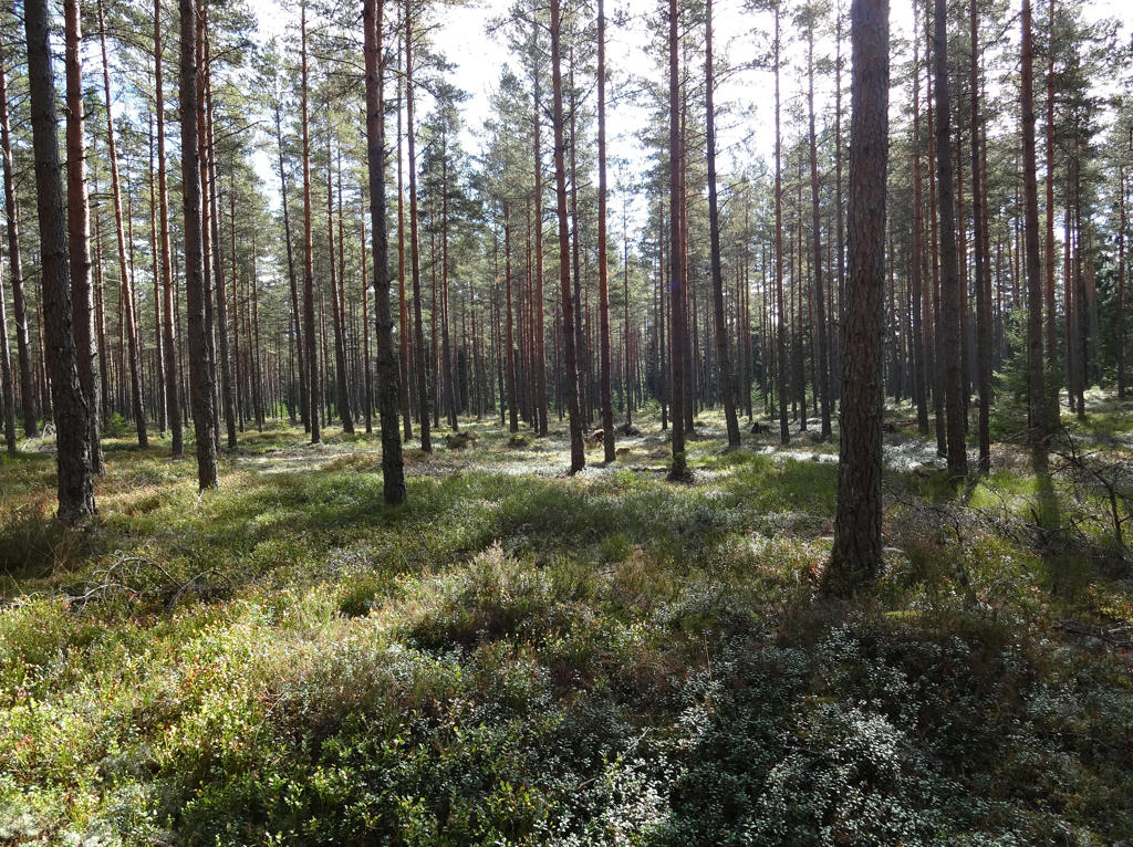
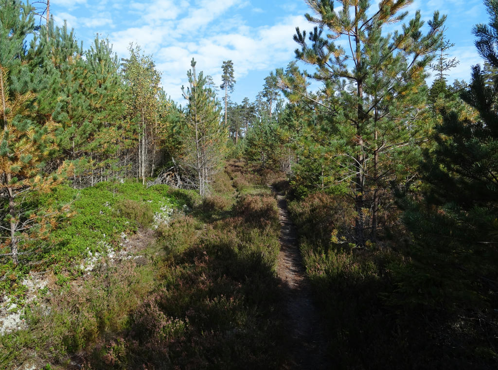
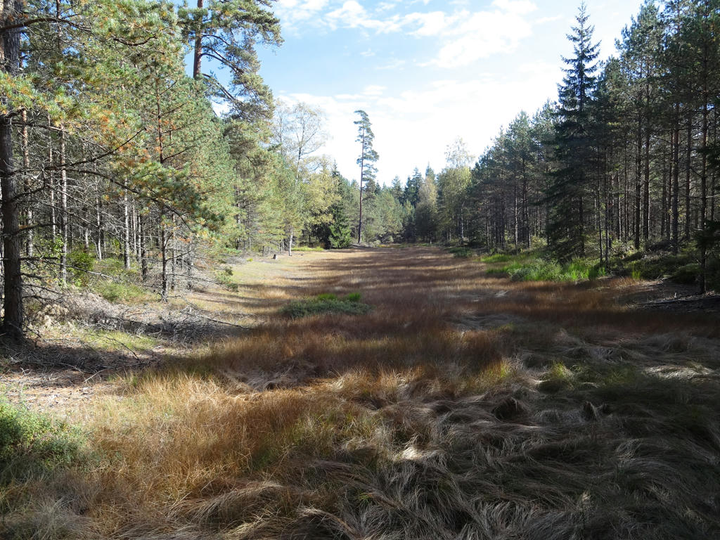
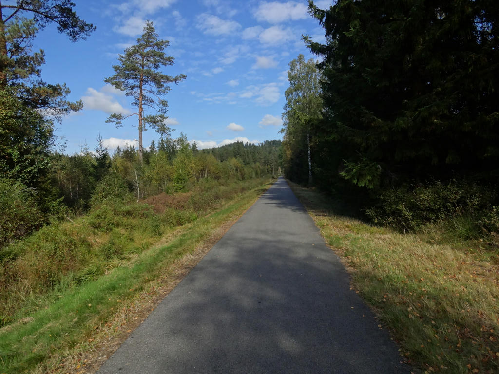
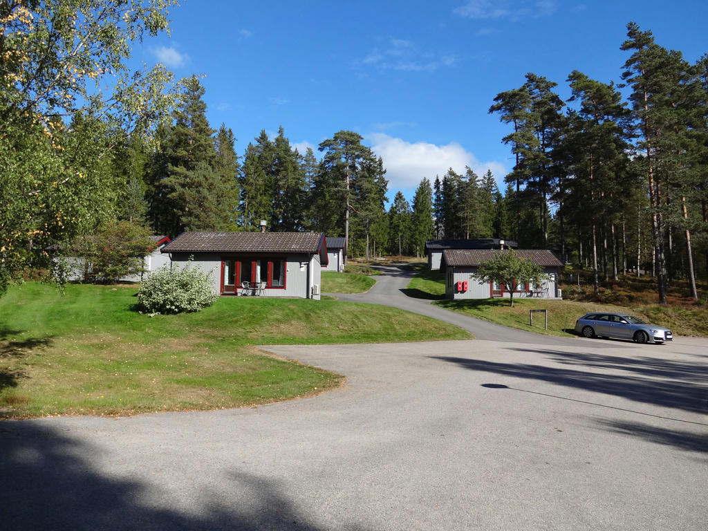
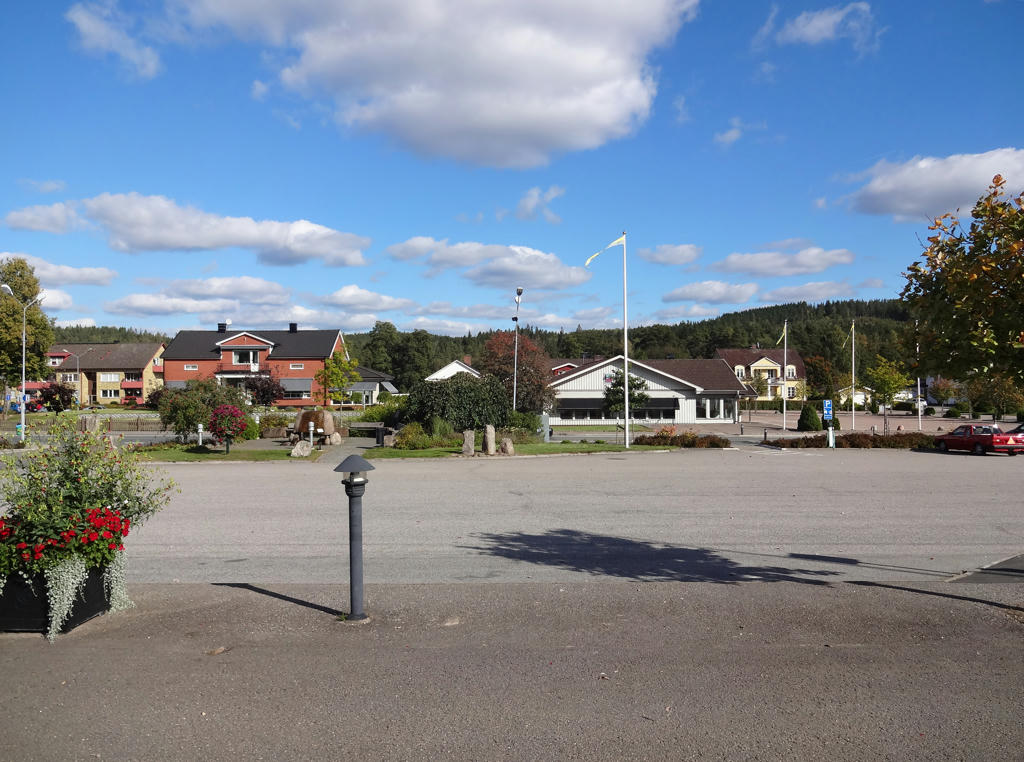
Anyways, the walk took started in the small town Mölltorp. I got there first by taking the train to Skövde and then taking the bus in the direction of Karlsborg. From Mölltorp I walked roughly 17.6km until reaching the bus stop in Forsvik (I actually planned to walk to Undenäs at first but I realized that at Vaberget the path is split and I wanted to walk all the parts (which I did) so I wouldn't have enough time to also walk to Undenäs and also the weather got pretty bad at the end as mentioned above). The walk took me in total 4h54min. My average speed was thus roughly 3.59km/h. I could have easily gone faster but there were plenty of things to photograph on the way. Either way, in Forsvik I waited for almost 1h for the bus to Karlsborg (which was pretty bad considering that it became pretty cold during the afternoon). In Karlsborg I took the bus to Skövde and there I finally took the train home. It was a long travel; roughly 3.5h to get to Mölltorp and then roughly 4h to get back home from Forsvik.
In general it was a enjoyable and interesting walk, although it was quite windy as mentioned above. The walk goes through the woods for the most part and much of it goes on gravel roads. There are many interesting things to see during the walk, especially because the walk goes through Vaberget, where there are remains of military defenses. Actually Karlsborg itself had the purpose of being a reserve capital in the case of war. So the military defenses (including fortresses, batteries/panoplies and cannons) on Vaberget were built for the purpose of defending Karlsborg. More about that much and much more below. Enjoy the photos!
1.
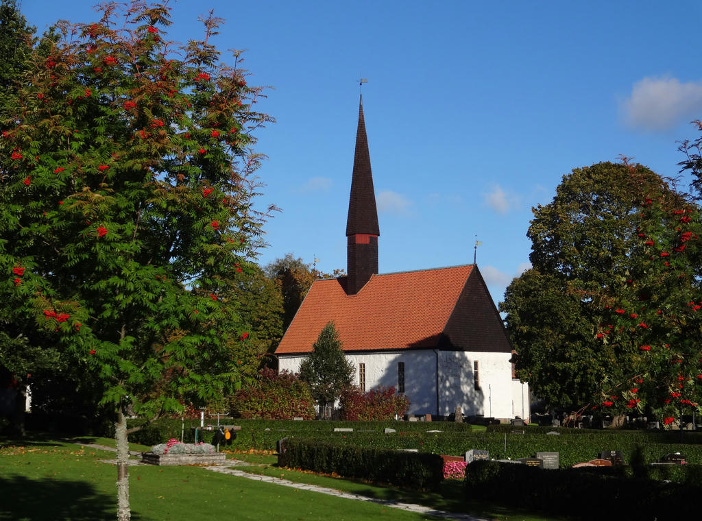
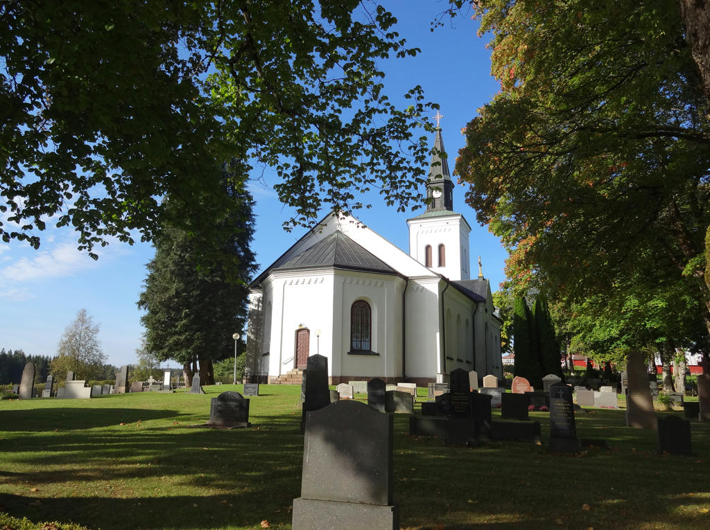
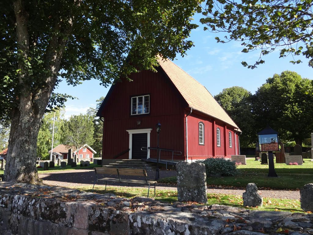
Mölltorps church.
"The exterior of Mölltorp church is mainly late medieval with high, narrow windows, a pointed roof, and high gables. The shingled spire is probably from 1662, judging from the vane.
The interior is late Baroque with roof paintings such as the Last Judgement and the Prodigal Son surrounded by a wealth of acanthus decoration. Pulpit and altar are also in the Baroque style. One of the most remarkable objects from the church is the small reliquary found in 1938 containing small silk parcels with medieval labels. According to these the reliquary contains the bones of St. Birgitta, St. Helena of Skövde, and the 11000 Virgins. The reliquary is now in the Museum of Västra Götaland in Skövde."
Rotated and cropped the photo.
"The exterior of Mölltorp church is mainly late medieval with high, narrow windows, a pointed roof, and high gables. The shingled spire is probably from 1662, judging from the vane.
The interior is late Baroque with roof paintings such as the Last Judgement and the Prodigal Son surrounded by a wealth of acanthus decoration. Pulpit and altar are also in the Baroque style. One of the most remarkable objects from the church is the small reliquary found in 1938 containing small silk parcels with medieval labels. According to these the reliquary contains the bones of St. Birgitta, St. Helena of Skövde, and the 11000 Virgins. The reliquary is now in the Museum of Västra Götaland in Skövde."
Rotated and cropped the photo.
2.
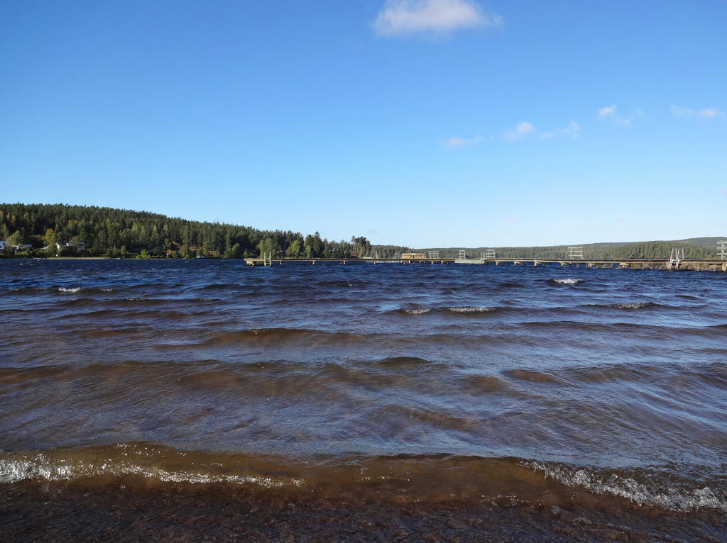
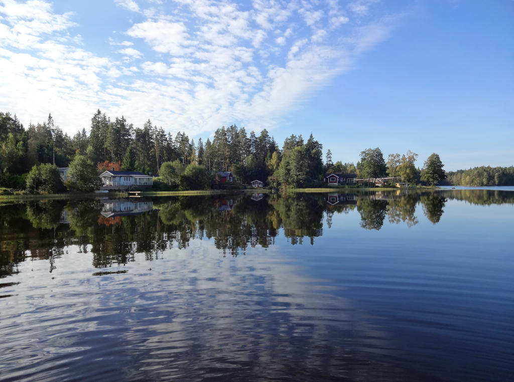
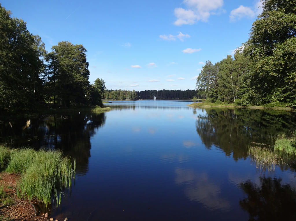
Kyrksjön. Used hue restorer plug-in to get rid of some cyan-ish color in the sky. Then I rotated the photo slightly and cropped it.
3.
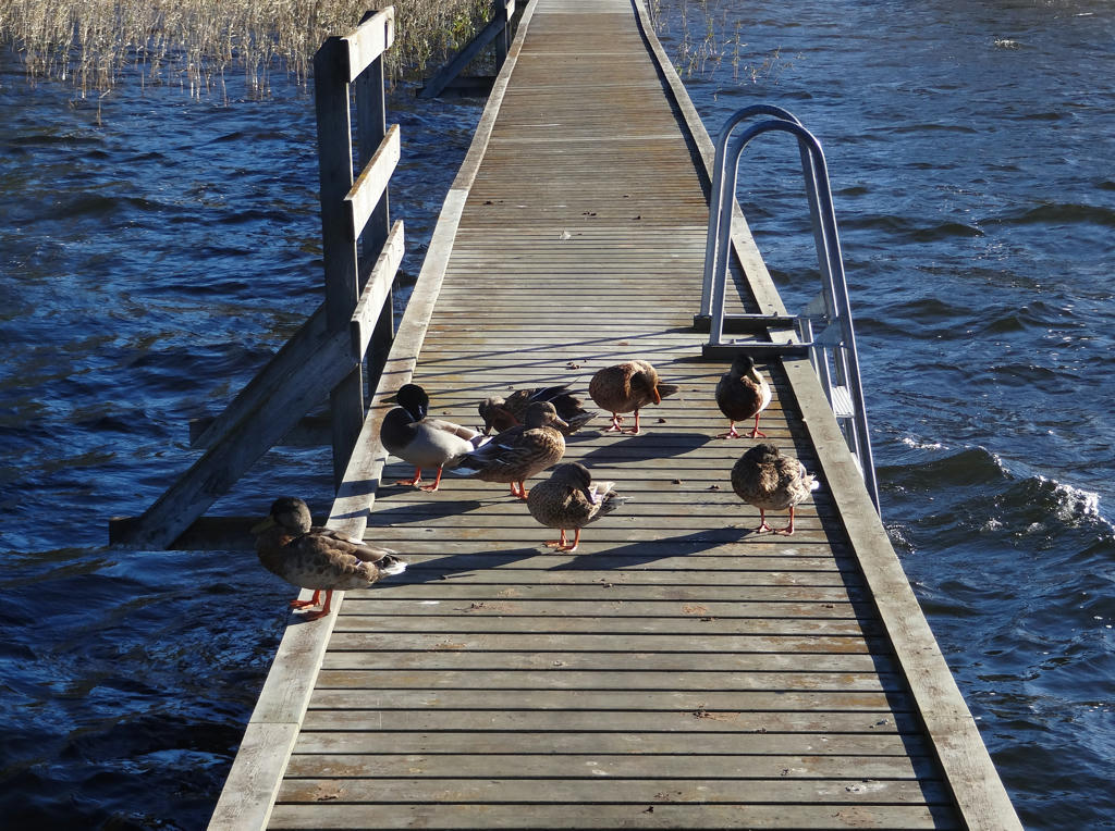
Rotated and cropped the photo.
4.
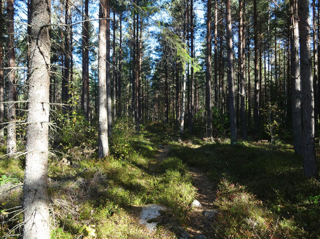
Rotated and cropped the photo. Used hue restorer plug-in to make the sky less cyan-ish.
5.
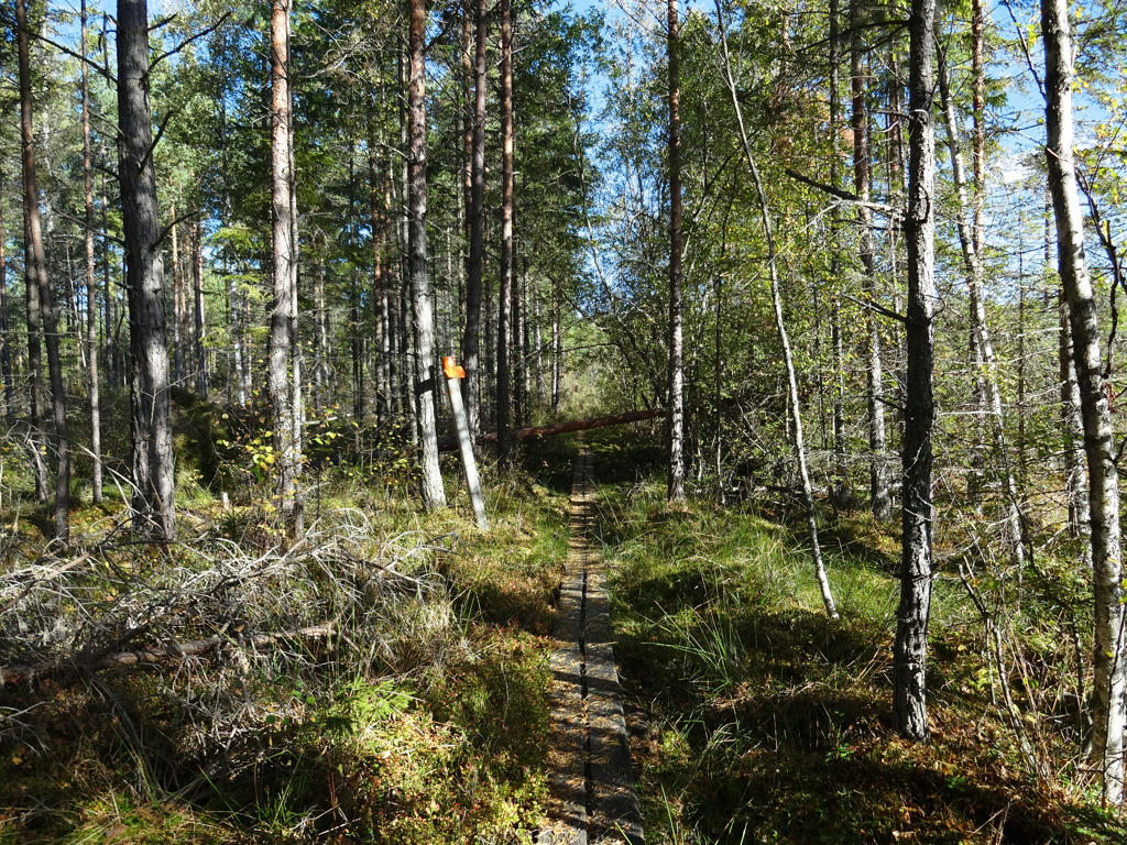
Used hue restorer plug-in to get rid of the cyan-ish sky color.
6.
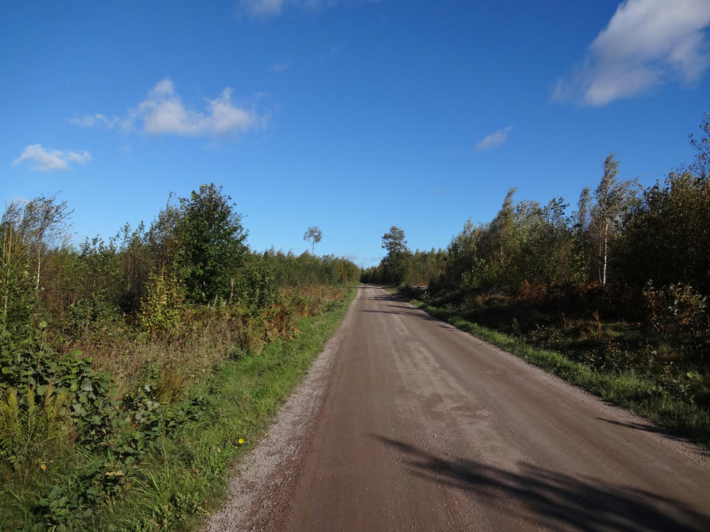
7.
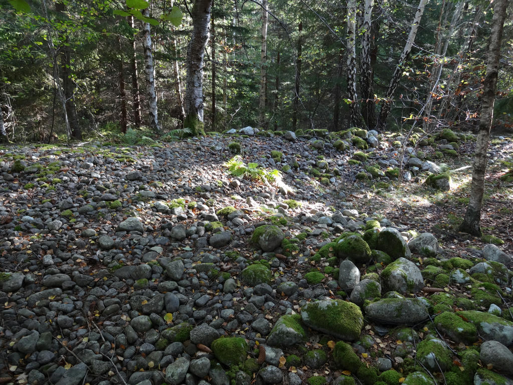
Sea bank from the ice age.
8.
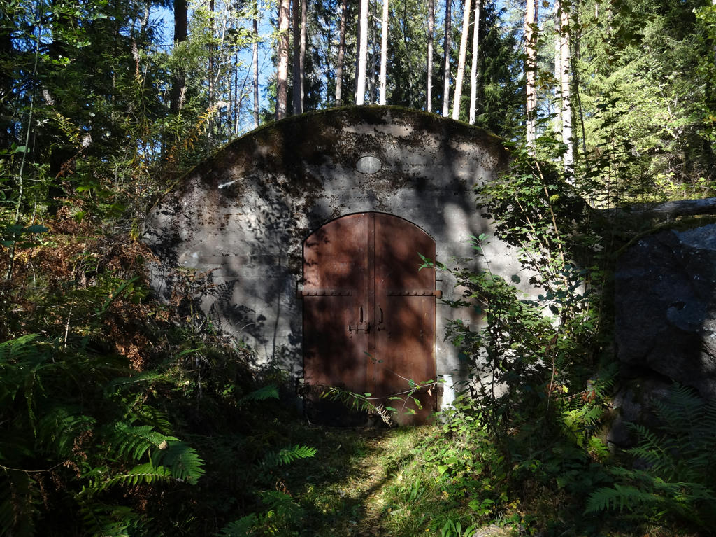
I suppose this is a storage for search lights in the search light emplacement. The search light emplacement was built to illuminate the southern and western sides in the case of an enemy attack. There were four spot lights mounted on carriages which could be moved along on a conveyor belt (rälsbana). The lights could illuminate terrain at a distance of 2-6km depending on the spot light model.
Used the hue restorer plug-in to get rid of the cyan-ish sky color. Also rotated the photo slightly and cropped it.
Used the hue restorer plug-in to get rid of the cyan-ish sky color. Also rotated the photo slightly and cropped it.
9.
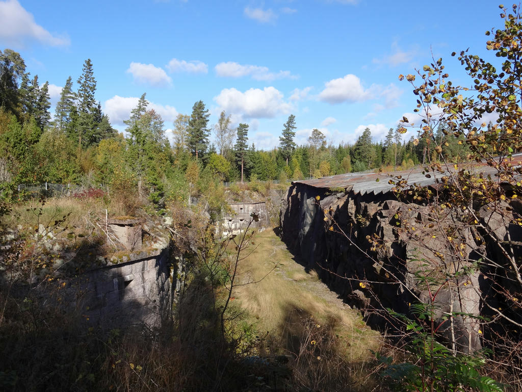
The southern fortress is the largest fortress at Vaberget. The fortress is equipped among other things with four 12cm and eight 6cm cannons, all of which are in versatile/swingable armored turrets. The area has been fenced off since the roof is no longer stable.
Used the hue restorer plug-in to get rid of the cyan-ish sky color.
Used the hue restorer plug-in to get rid of the cyan-ish sky color.
10.
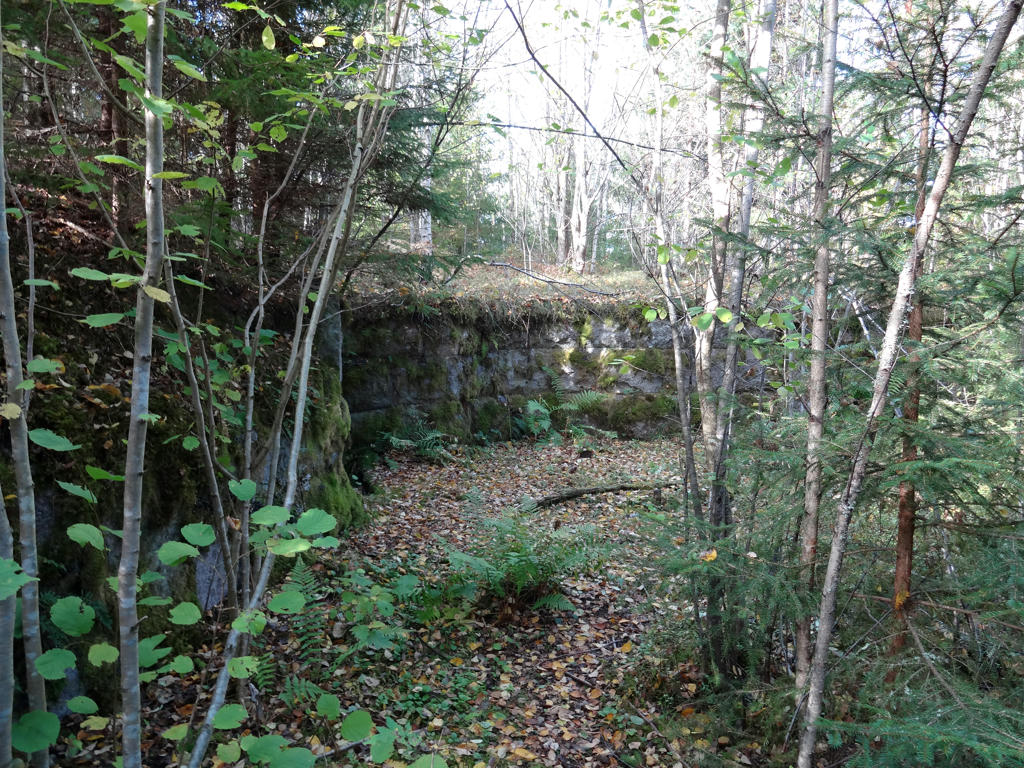
Battery/panoply mound
The battery/panoply is equipped with four 16cm howitzers, which gave a proper shooting range so that even the steep hillside could be defended. The range fire was 5km.
Slightly increased the contrast.
The battery/panoply is equipped with four 16cm howitzers, which gave a proper shooting range so that even the steep hillside could be defended. The range fire was 5km.
Slightly increased the contrast.
11.
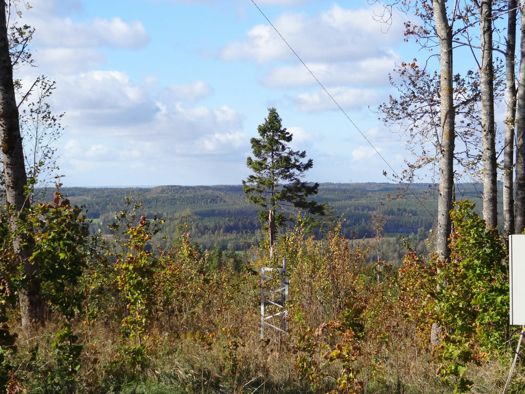
View from Vaberget. Used the hue restorer plug-in to make the sky less cyan-ish.
12.
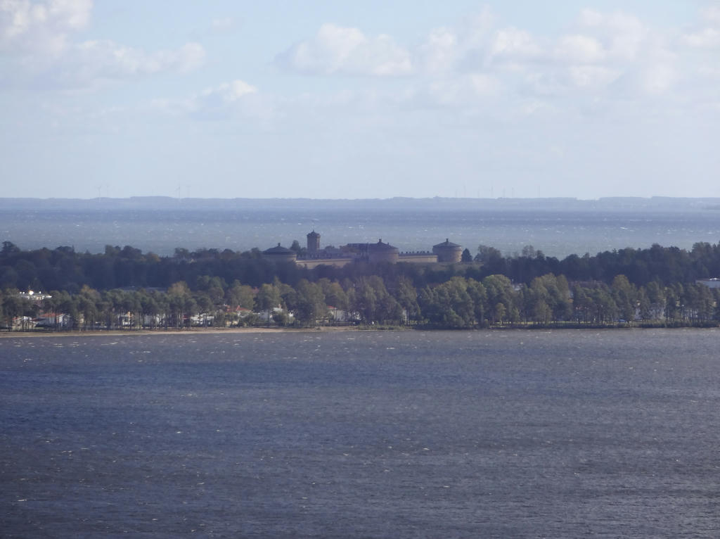
View from Klinten gazebo. The closest lake is Bottensjön while the lake further away is Vättern. Parts of Karlsborg can also be seen on the photo, including Karlsborg fortress. Rotated the photo slightly and cropped it.
13.
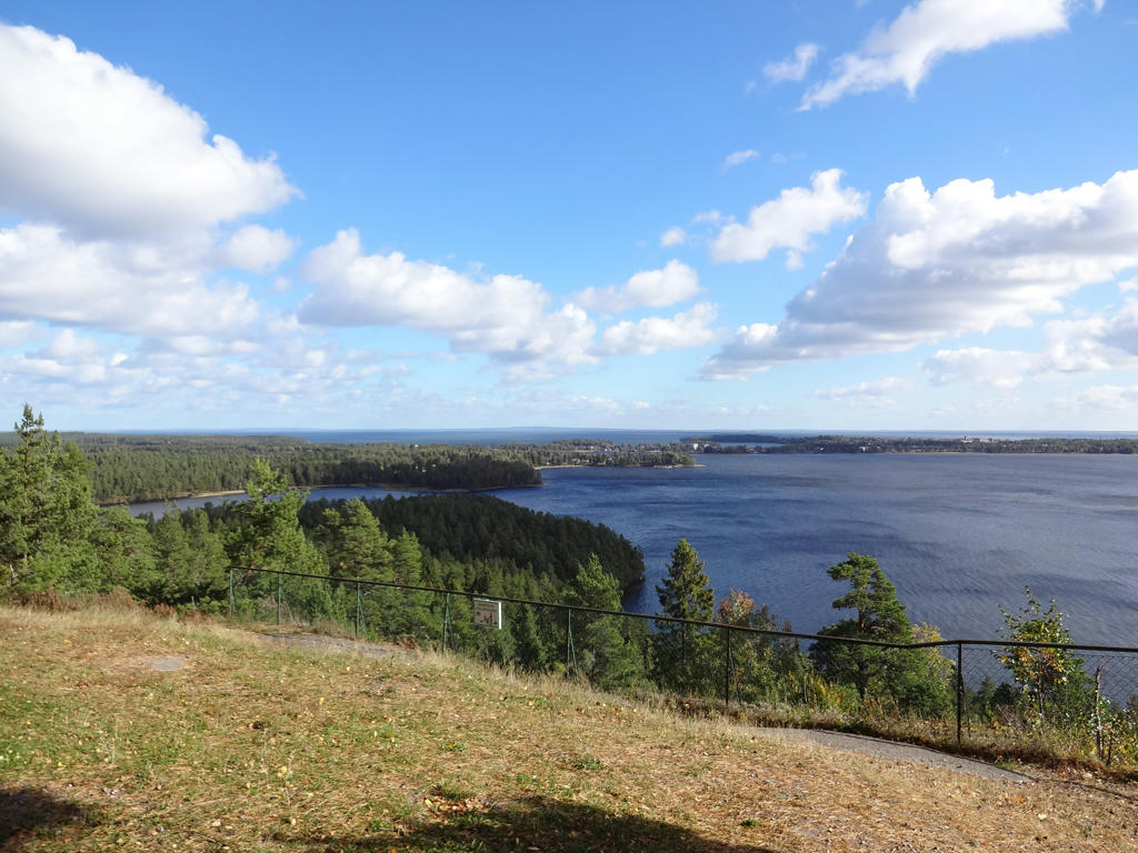
Another view from Klinten gazebo.
14.
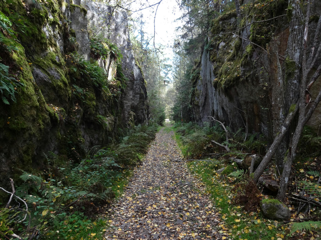
The cannon hill was used to pull up the heavy cannons to the top of Vaberget. The heaviest firearms weighted 3.5 tonnes. In some places there was a contrivance called oxvandring (oxen walk). The cannons were pulled up using winches and chains. However, steam power rather than oxen was used to power the winces.
15.
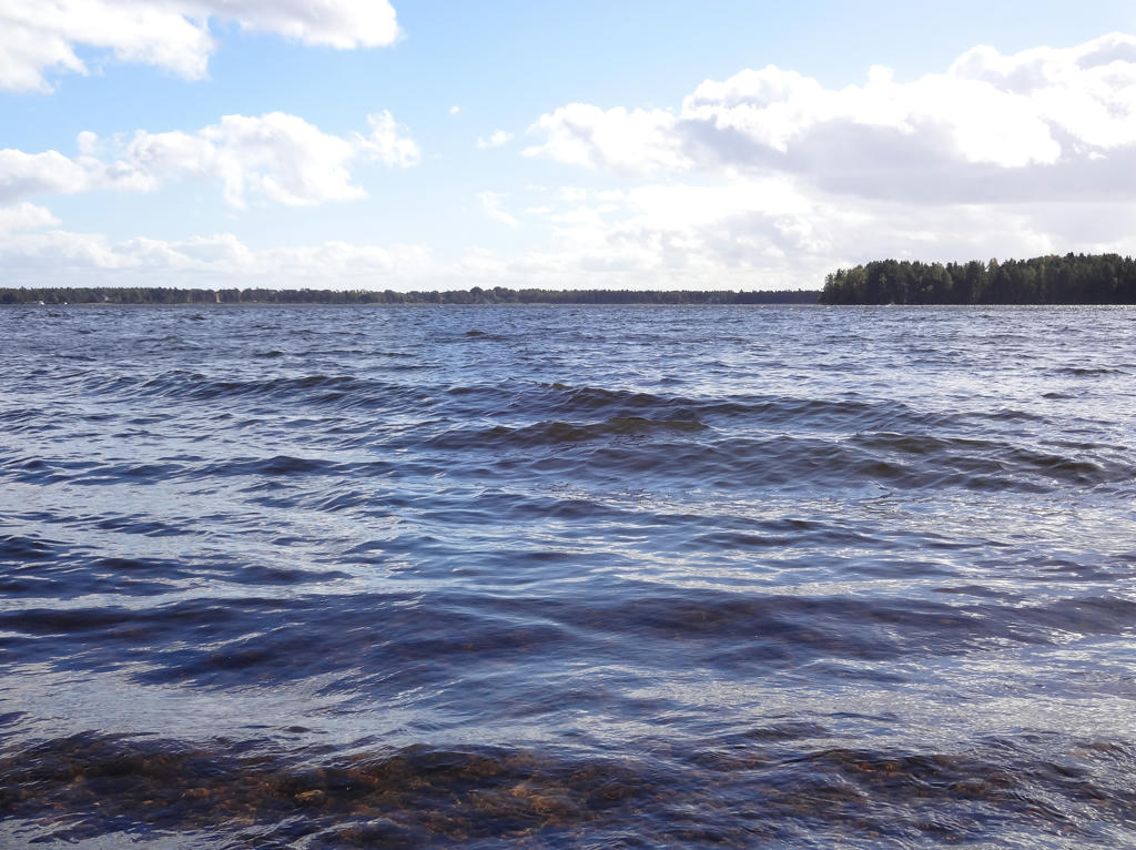
Bottensjön. Slightly increased the contrast. Also rotated the photo slightly and cropped it.
16.
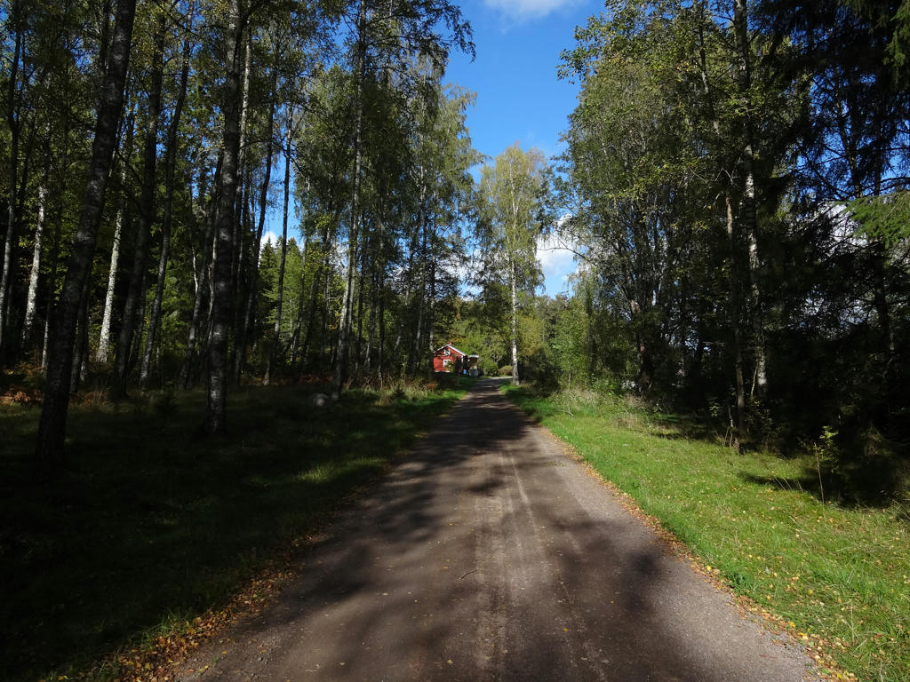
Used hue restorer plug-in to get rid of the cyan-ish sky color.
17.
18.
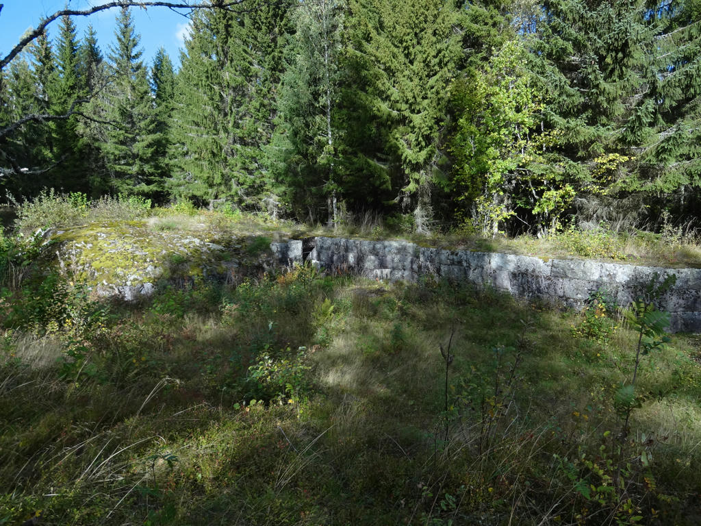
Battery/panoply mound I
Both battery/panoply mound I & II were equipped with four 12cm cannons with a range fire of 8km. The mounds are plastered (murade) and partially blasted (nedsprängda). As protection for the soldiers there were passages and aprons.
Used hue restorer plug-in to get rid of the cyan-ish sky color.
Both battery/panoply mound I & II were equipped with four 12cm cannons with a range fire of 8km. The mounds are plastered (murade) and partially blasted (nedsprängda). As protection for the soldiers there were passages and aprons.
Used hue restorer plug-in to get rid of the cyan-ish sky color.
19.
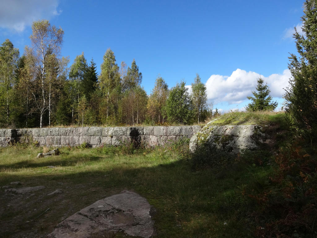
Battery/panoply mound II
20.
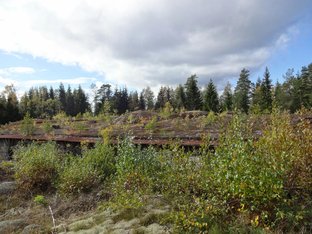
Northern fortress
The northern fortress was equipped with among other things six 6cm cannons mounted in movable cannon towers. The cannons had a 7km range. The fortress is closed to the public for safety reasons.
The northern fortress was equipped with among other things six 6cm cannons mounted in movable cannon towers. The cannons had a 7km range. The fortress is closed to the public for safety reasons.
21.
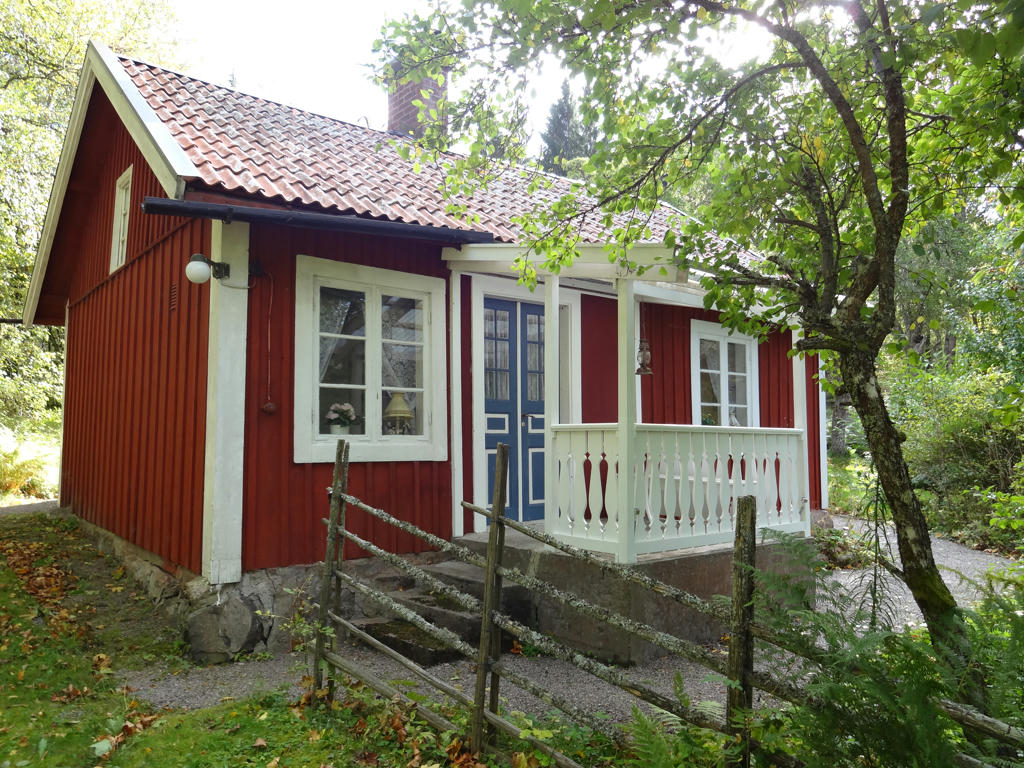
22.
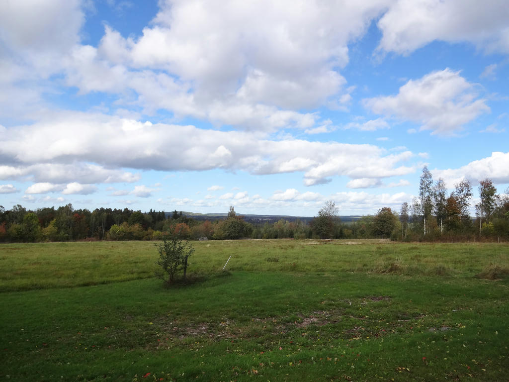
Vaberget's northern slant. The vegetation is among other things rich with hazels and liverleafs.
Used the hue restorer plug-in to reduce the cyan-ish sky color. Also brightened the non-sky parts using the levels tool.
Used the hue restorer plug-in to reduce the cyan-ish sky color. Also brightened the non-sky parts using the levels tool.
23.
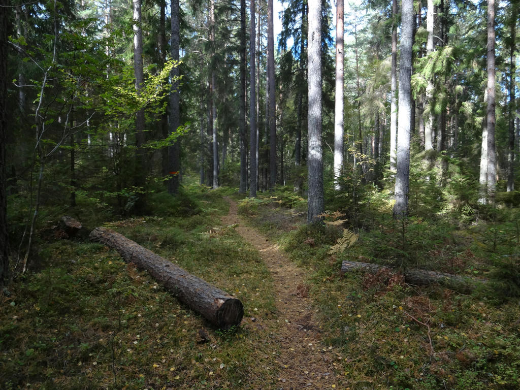
24.
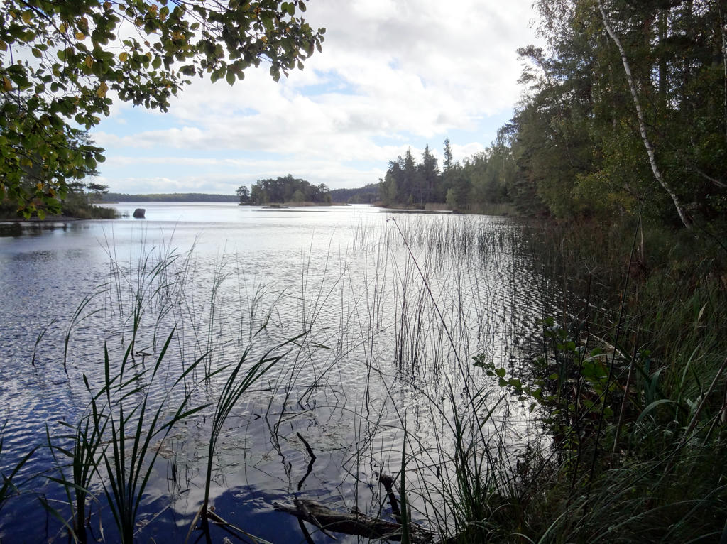
Bottensjön. Rotated the photo slightly and cropped it. Then I used the hue restorer plug-in to reduce the cyan-ish sky color. Finally I equalized the histogram for the non-sky parts.
25.
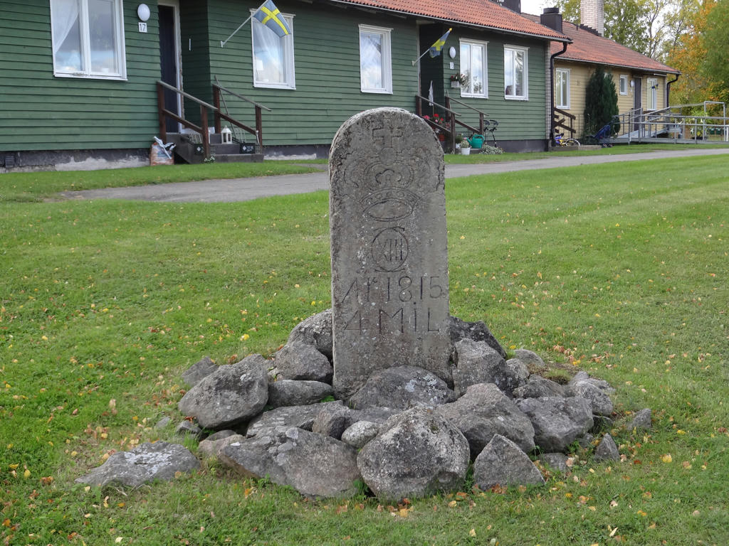
A milestone from 1815. It has Karl XIII's monogram on it. Rotated and cropped the photo.
26.
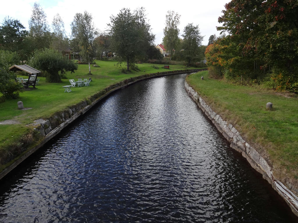
Göta kanal
27.
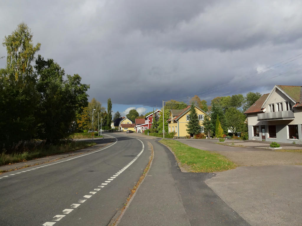
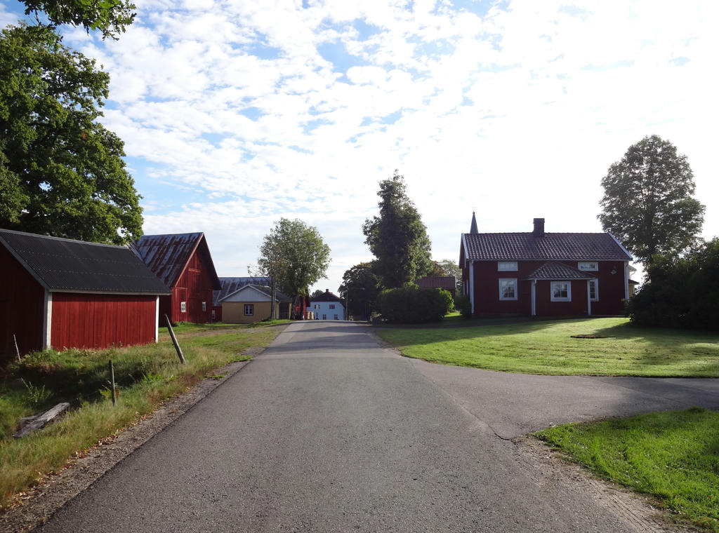
In Forsvik. Sharpened the photo slightly using unsharp mask.