tisdag 27 juni 2017

Västra Vätterleden Walk #3: Mölltorp-Mohemmet (Saturday 25/03-17)

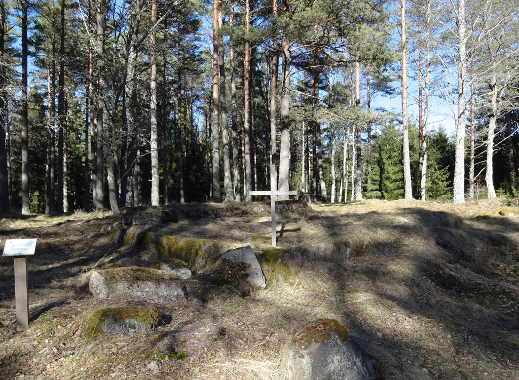
Already on Saturday I decided to return to the Västra Vätterleden walks. This time I traveled to Mölltorp by first taking the train to Skövde, then taking the bus to Karlsborg and from there the bus to Mölltorp. In total this took me 3h25min. The first 0.6km of the walk was required to reach the trail from the bus station. The trail itself was 17.5km but at the end of the walk I walked 0.8km extra to reach the asphalt road which goes between Tibro and Brevik and further walked 0.6km on that road. Thus in total the walk was 19.5km and it took me 4h44min. My average speed was therefore approximately 4.12km/h. I managed to hitchhike to Tibro by getting a ride with the first car that came by. The driver was a woman from Kosovo who had been staying in Sweden for 6-7 years (if I remember correctly) but had not received a definite answer from the migration agency as to whether she actually can stay or not. Either way, I was lucky in that regard since otherwise I would have had to walk almost 10km more to reach Tibro. During Västra Vätterleden Walk #8 between Hjo and Tibro I wasn't as lucky since there were only a few cars passing by and none of the drivers stopped their cars. Thus during that walk I had to walk 10.3km extra to reach the bus station in Tibro. Either way, the travel time from Tibro back was 3h28min.
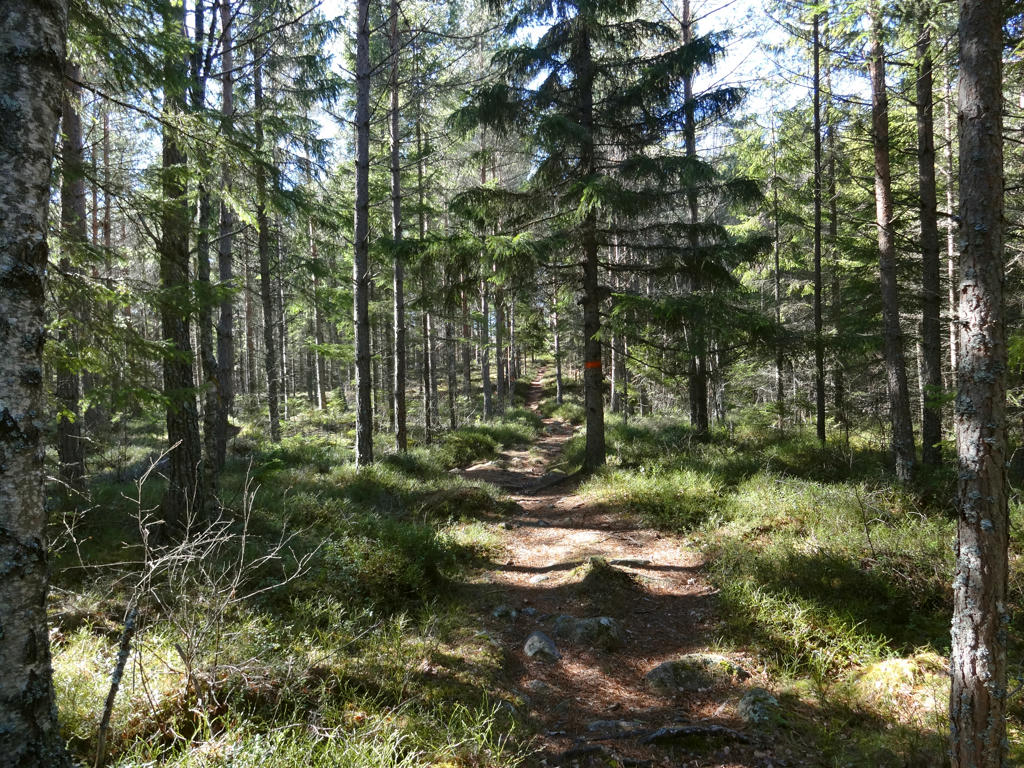
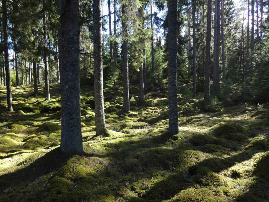
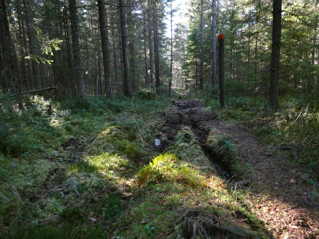
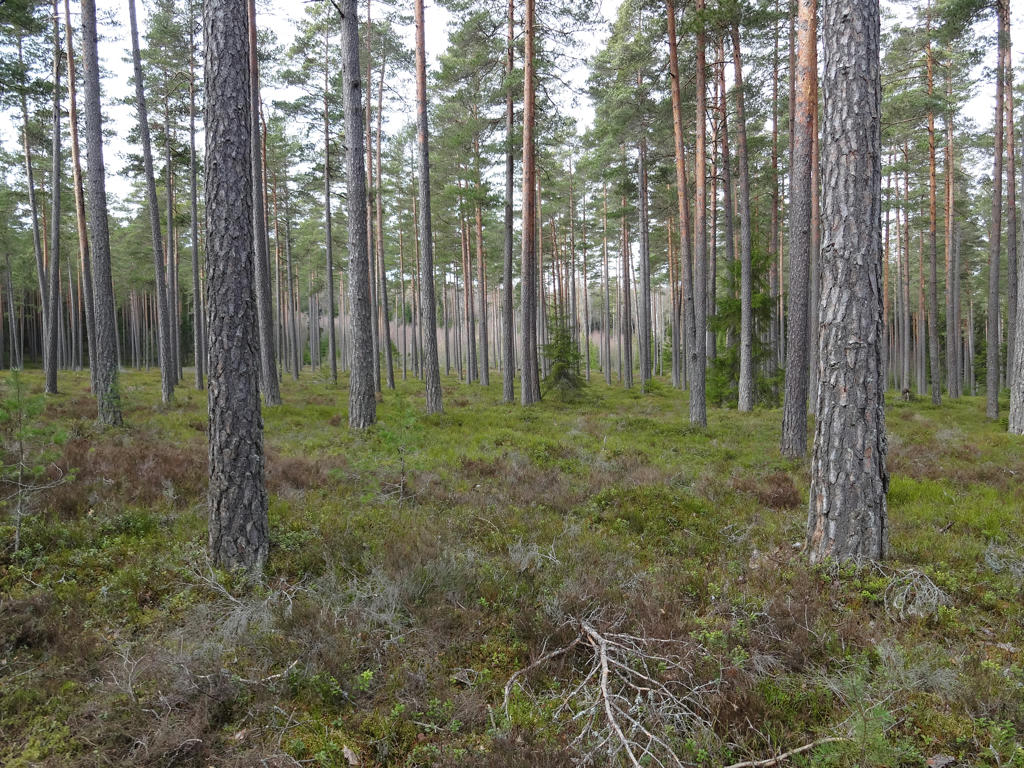
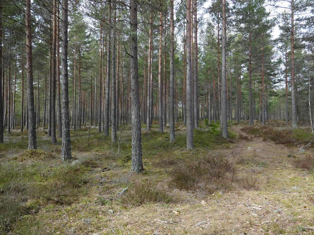
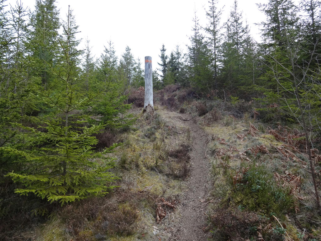
In any case the walk was quite interesting. The most noticeable characteristic of the walk is that most of it went through fine sand forests (moskog or tallmo) which are characterized by being very open and having low vegetation with the exception of scots pines and other coniferous trees. This type of forest is very beautiful and can also be found for instance when walking some of the other parts of Västra Vätterleden. Another characteristic of the walk is that it is slightly more demanding than usual (more variations in height). Finally it can be noted that the walk goes for the most part on trails in the woods rather than tractor or gravel roads.
Just as during the previous walk it was pretty cold but it was also cloudy for the most part. Either way, I hope you enjoy the photos presented below!


1.
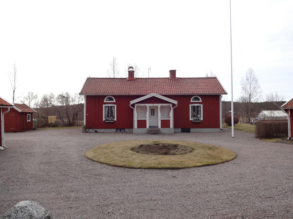
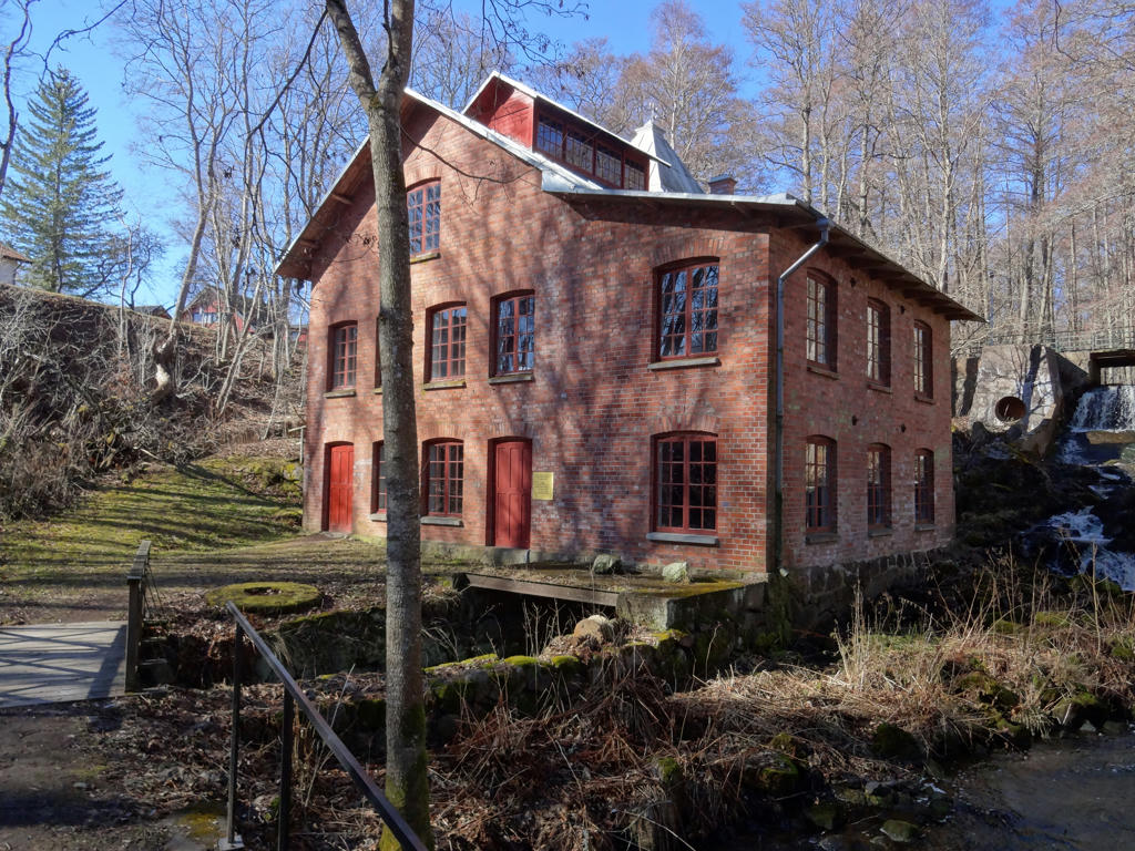
Rattaregården. Rotated the photo slightly and cropped it.

2.
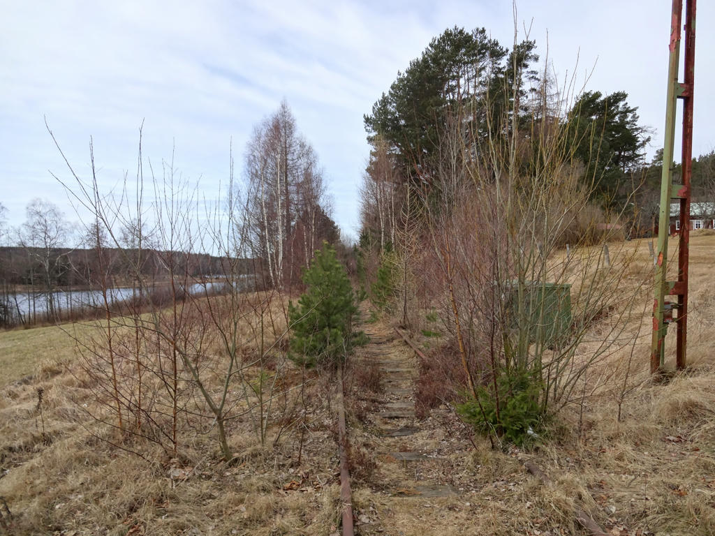
Old railway to Karlsborg
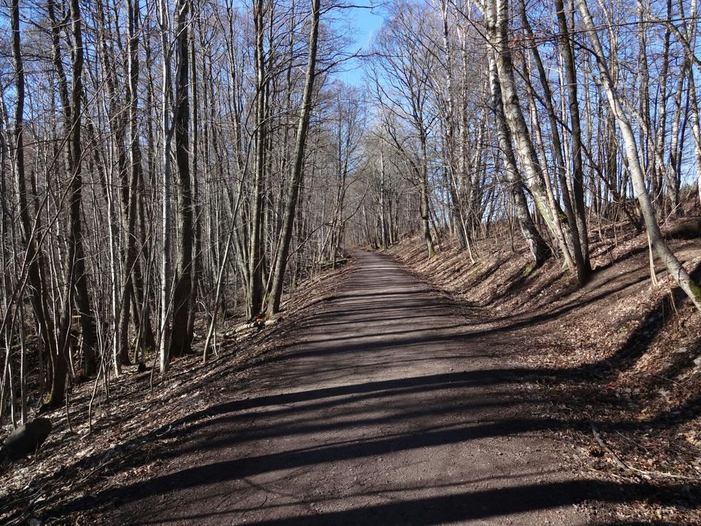
In 1876 the railway to Karlsborg was opened, which contributed to the large expansion of Mölltorp. The passenger transportation was discontinued in 1986, but the rails still remain. The lake Kopparsjön can be seen in the background.
Used the levels tool to increase the brightness and contrast for the photo overall. Then I further increased the brightness for the non-sky parts using the levels tool.

3.
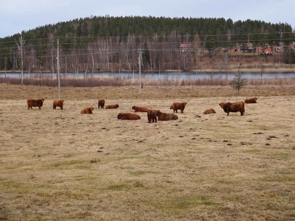
Kopparsjön
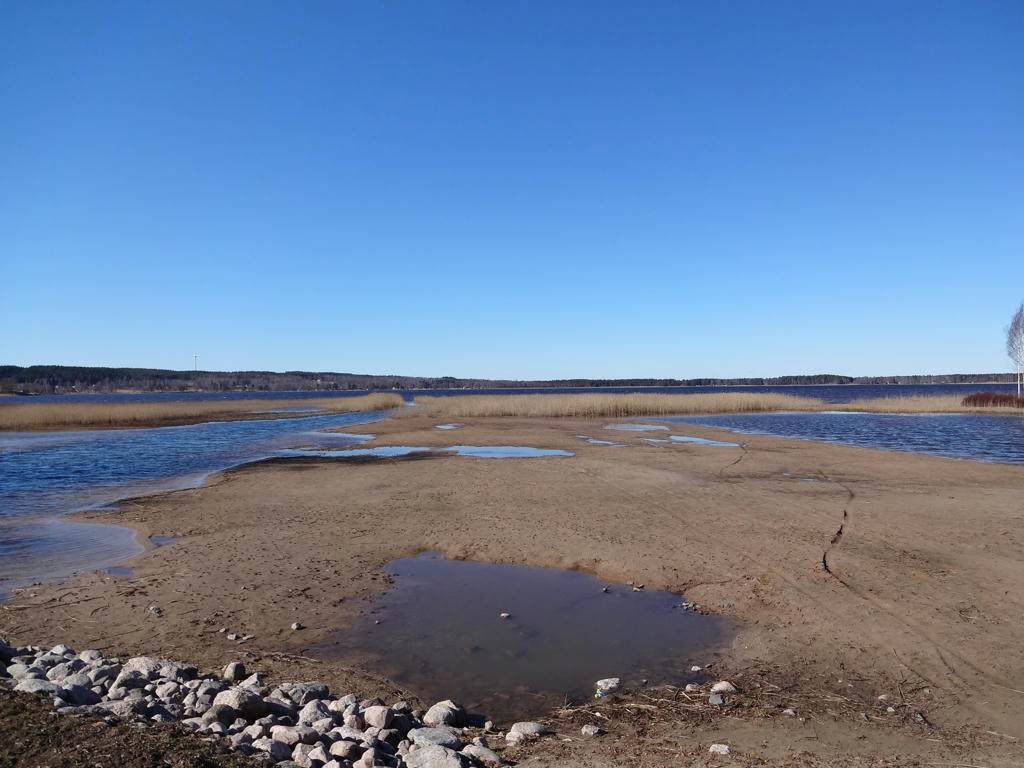
Kopparsjön was originally a glacial kettle. 100 years ago the name was Björsjön. It is unknown why the name was changed but maybe Kopparsjön (copper lake) makes more sense considering that the stream/creek nearby was called Kopparbäcken (copper creek) even back then and the bridge you cross is called Kopparbron (copper bridge) according to the economic map from 1877-82.
Brightened the non-sky parts using the levels tool. Also rotated the photo slightly and cropped it.

4.
5.
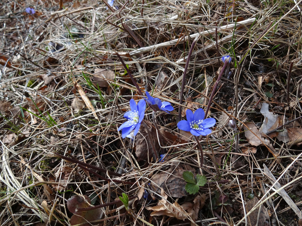
Common hepaticas/liverworts

6.
7.
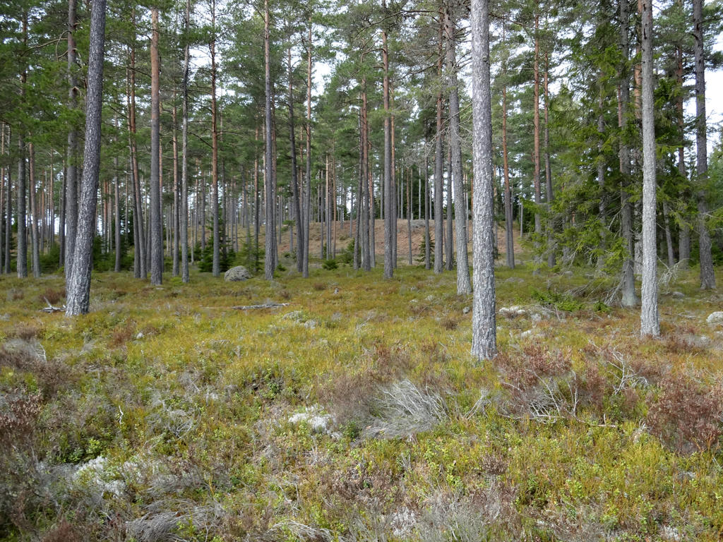
Increased the contrast for the non-sky parts using the levels tool.

8.
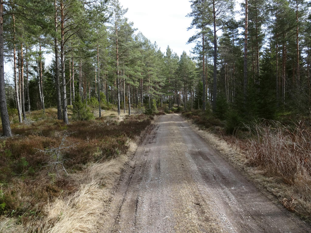
Used the levels tool to reduce the effect of the blue channel (reduce blue cast) for the non-sky parts.

9.
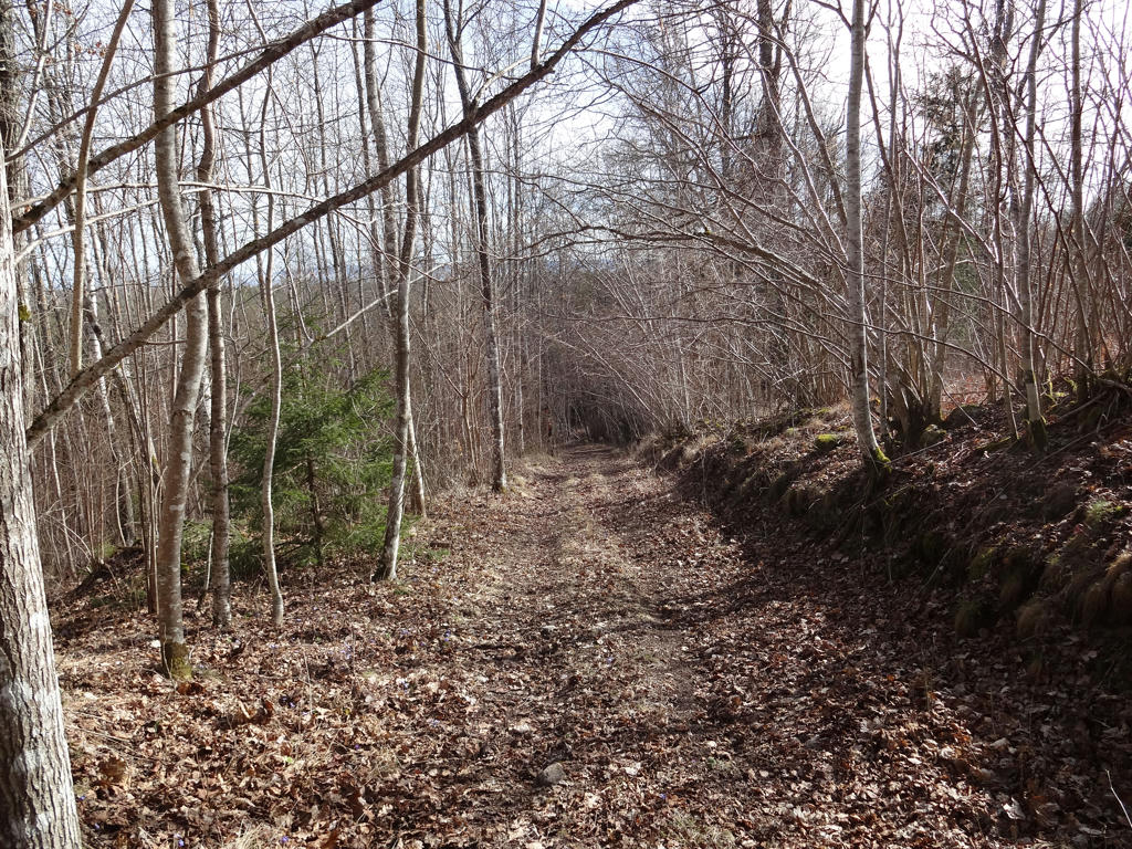
10.
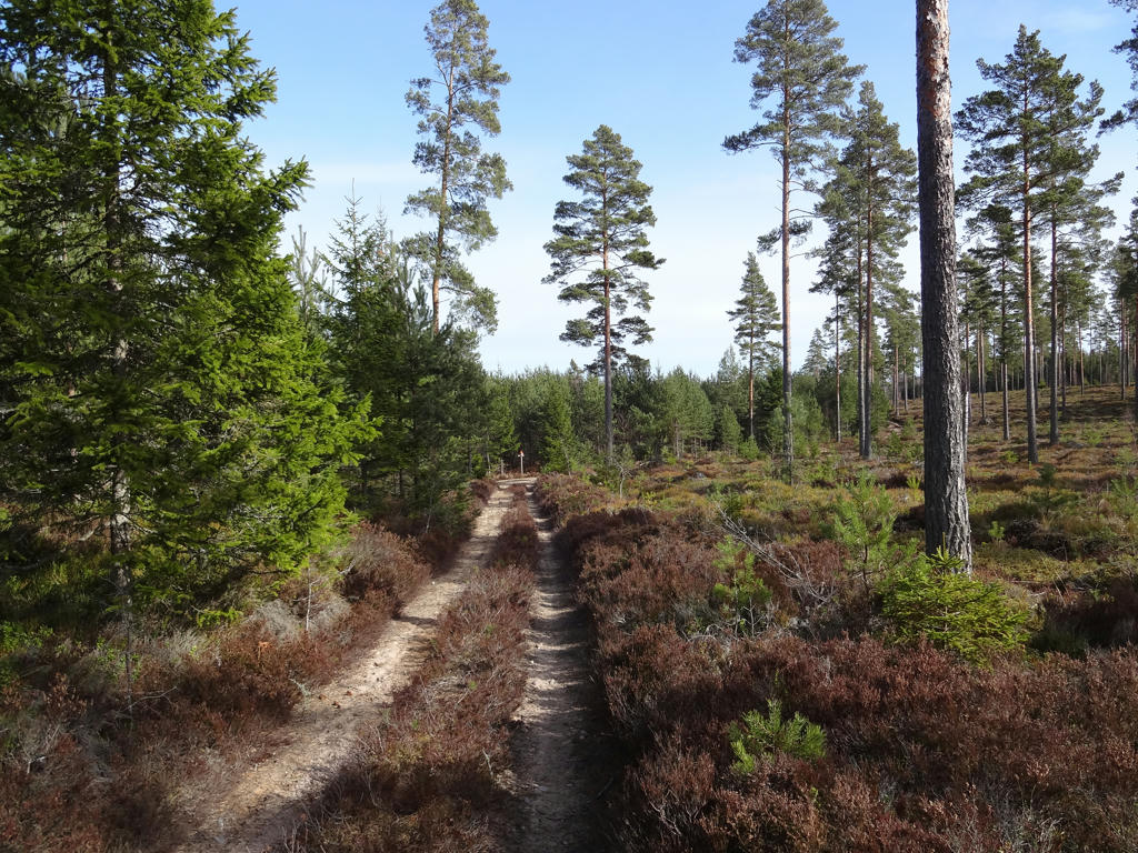
11.
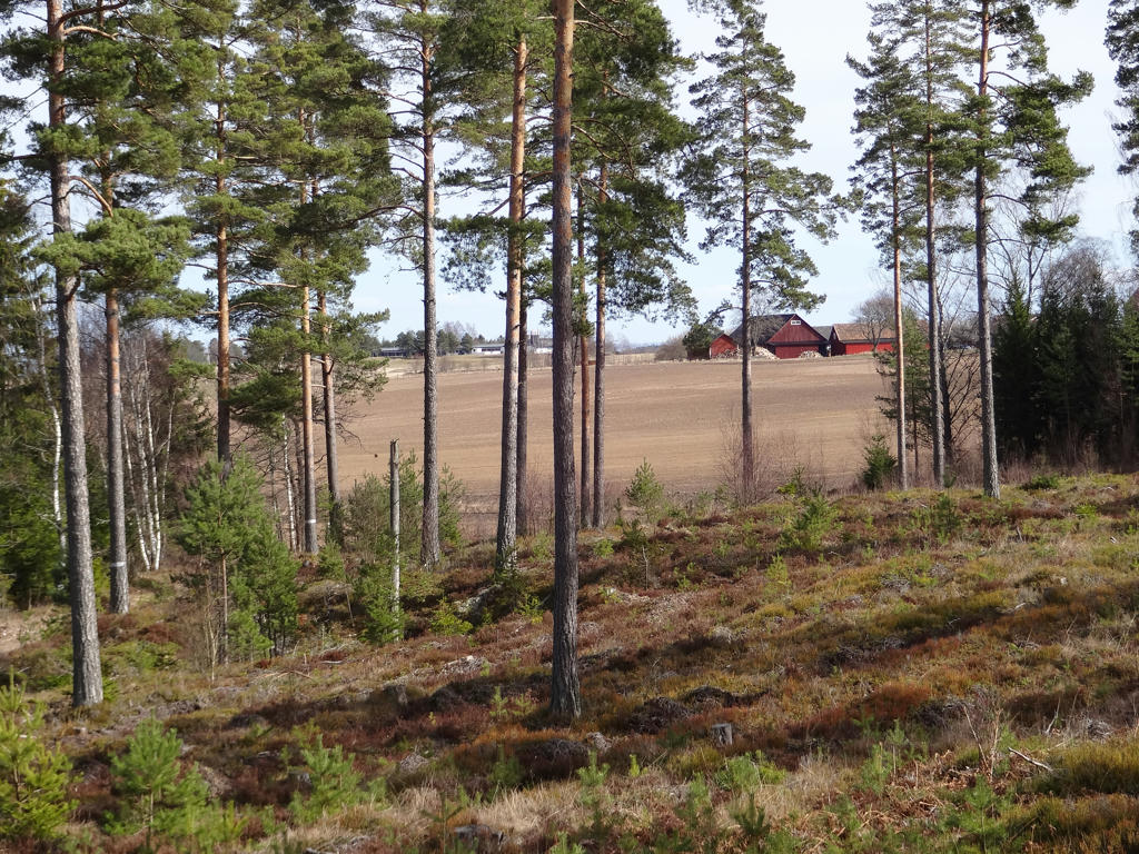
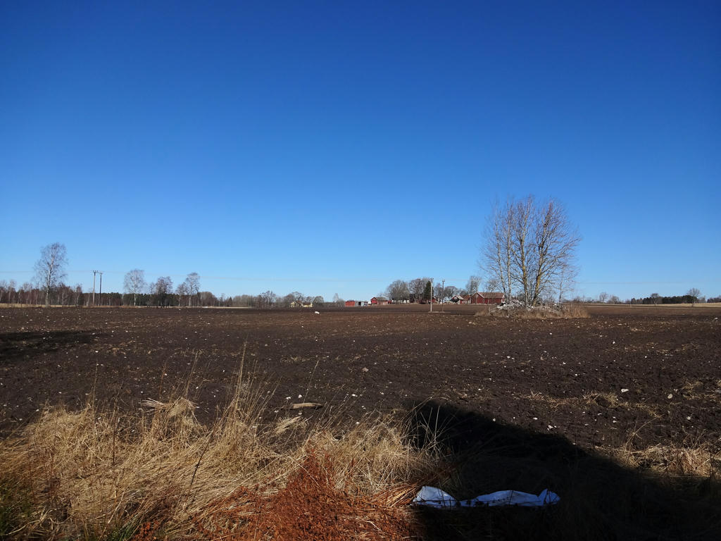
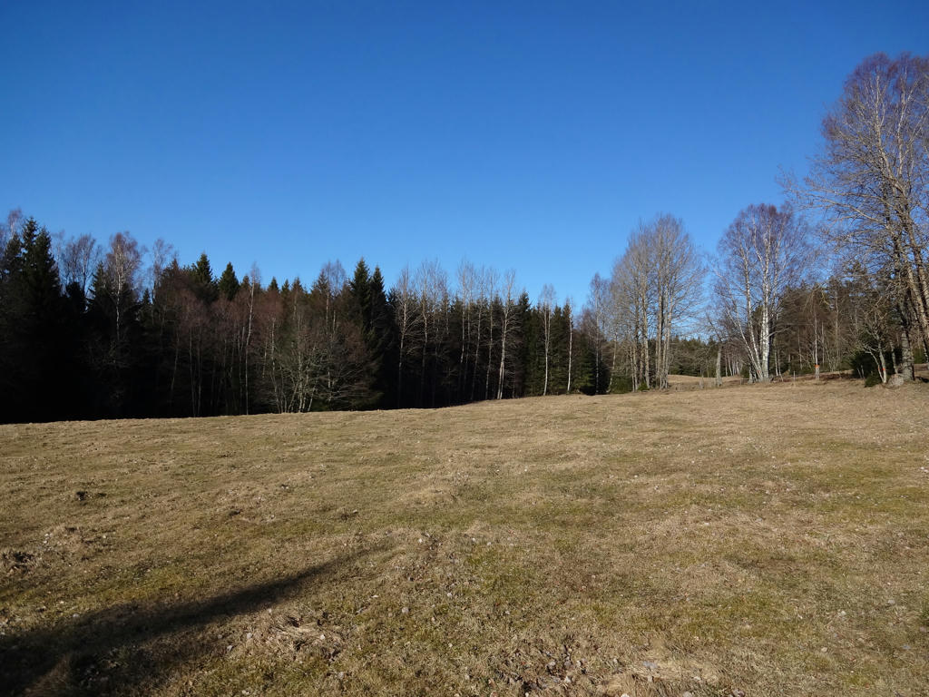
Interesting contrast between the forest and the farm land.

12.
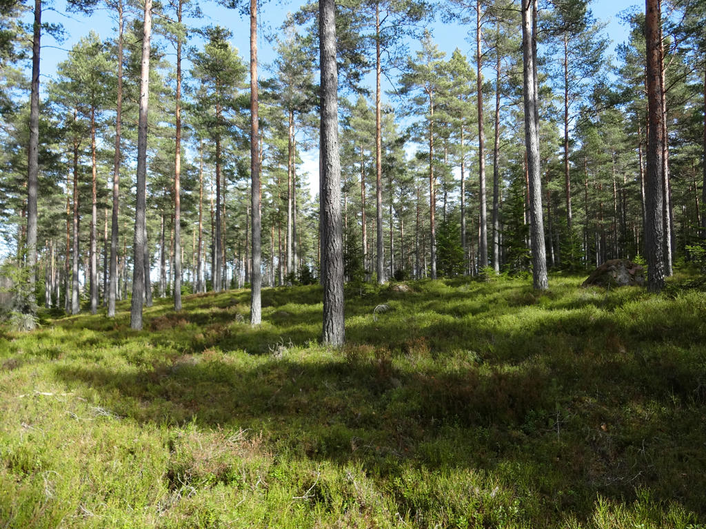
Used the hue restorer plug-in to get rid of the cyan-ish sky color. Also increased the contrast slightly for the non-sky parts.

13.
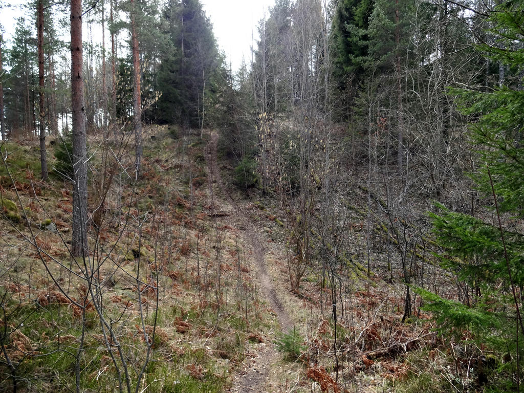
For the non-sky parts I first equalized the histogram and then I slightly reduced the effect of the blue channel (reduced the blue cast) using the levels tool. Then I brightened the non-sky parts slightly using the levels tool.

14.
Brightened the non-sky parts slightly using the levels tool and then I also slightly increased the contrast for the non-sky parts.

15.
16.
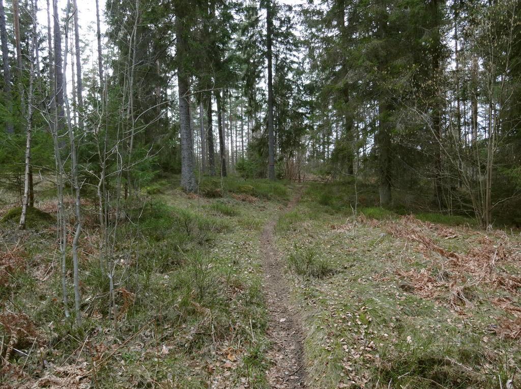
In the Stora Röå nature reserve.
At Stora Röå, a delta-like area formed when the inland ice melted. This delta was created when the ice rivers transported large quantities of material - sand, gravel and stones - which became the building blocks in a new landscape.
Needless to say, Stora Röå is just a small part of what used to be a large delta, but it is still an incredibly valuable area in scientific terms. It contains keys and tools for interpreting the complicated process associated with the melting of the inland ice.
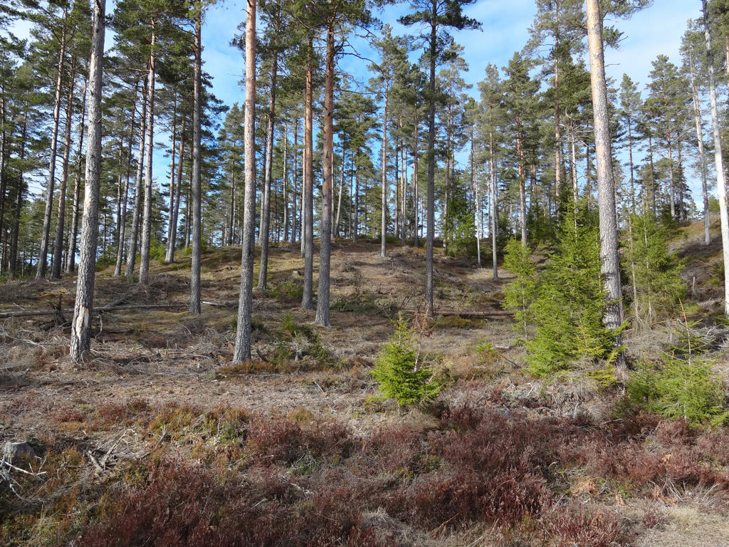
As a result of the melting of the inland ice, Stora Röå is a broken landscape with a large number of ridges and hills.
For the non-sky parts I used the levels tool to reduce the effect of the blue channel (reduced blue cast) and to increase the brightness.

17.
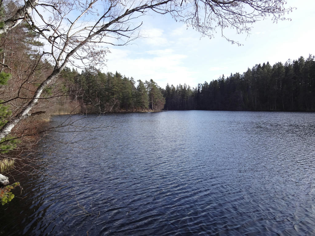
Röåsjön
Röåsjön lacks any inflows or run-offs. Only early in the spring is there some water in the ditch which leads water away from the nutrient-poor lake. This is the type of lakes which is hit hardest by the ongoing acidification. The surrounding lands are meager and covered with coniferous forests and therefore have difficulty in absorbing the acid rainfall. The lake is 8 meters deep and has implanted fish. In 1936 the 10-year old son was bathing in the lake together with his nursemaid and stomped in one of the holes at the bottom of the lake and was close to drowning. The nursemaid or handmaid was not able to swim but still tried to rescue the boy. She succeeded in doing so but lost her life as the result.

18.
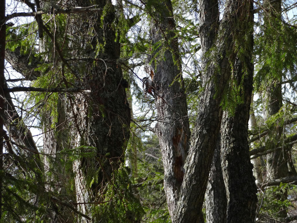
A great spotted woodpecker

19.
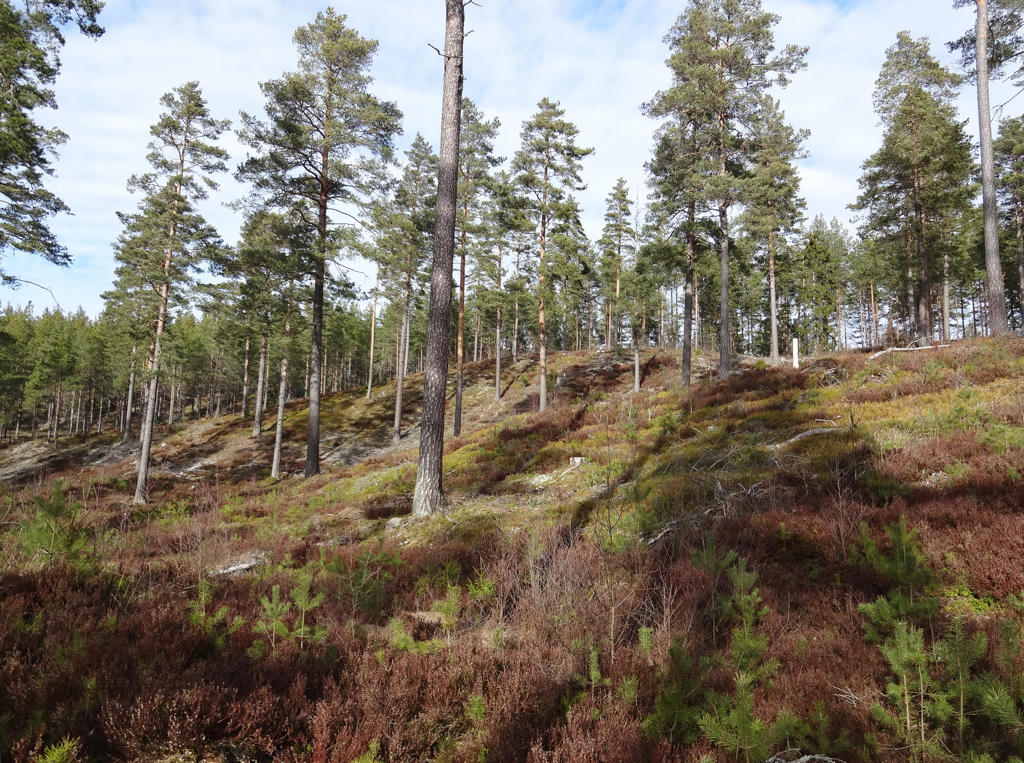
Skallhultsplatån
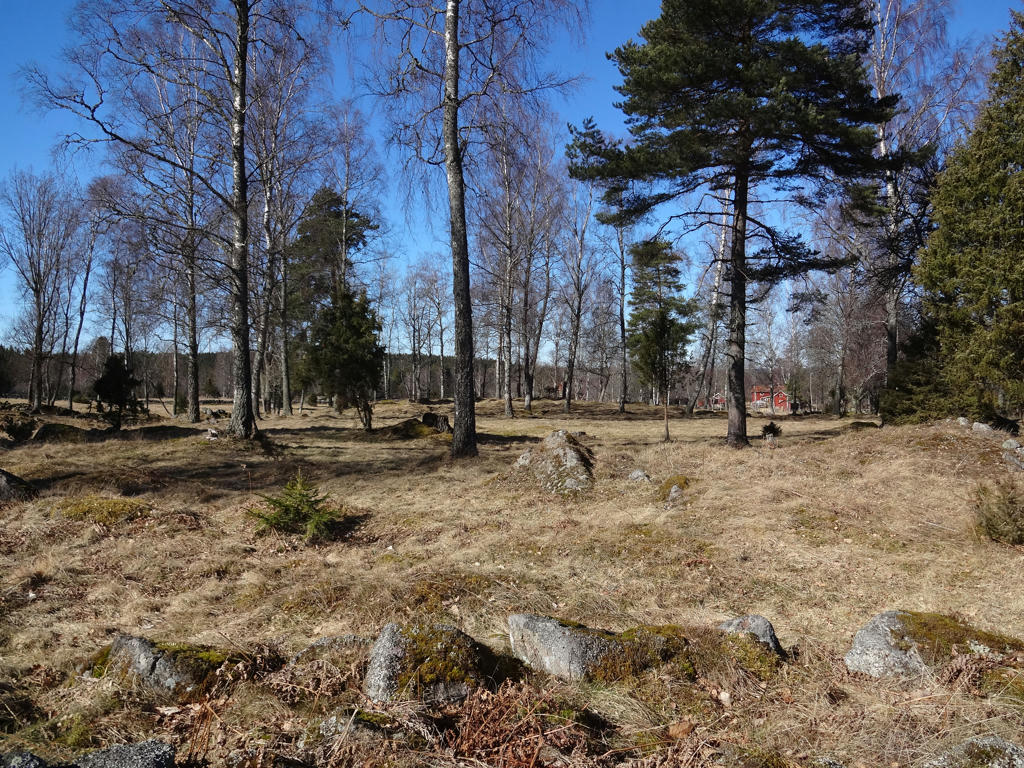
Skallhultsplatån is a large alluvium with a triangular shape and a plane top area.
Rotated and cropped the photo.

20.
fredag 23 juni 2017

Västra Vätterleden Walk #2: Hjo-Baståsen (Thursday 23/03-17)

After the Vättlefjällsleden walk I started creating a plan for how to tackle the rest of the Västra Vätterleden walks. I've previously walked the part of Västra Vätterleden between Mölltorp and Forsvik but I did not continue walking Västra Vätterleden any more in 2016 since I wanted to finish Gislavedsleden first. Either way, at the time of writing I've walked 8 parts of Västra Vätterleden, 7 of which I walked during a one month period from late March to late April. The main reason I walked 7 parts within a month was because I bought a 30 day bus/train card for the Västra Götaland region and wanted to make use of it as much as possible. There is currently one more part of Västra Vätterleden left for me to walk and the reason I haven't walked it yet is because it's tricky to travel to one of the end points for the walk. That has been a general problem of sorts with several of the Västra Vätterleden walks: It's easy to get to the start point for a walk but can be quite tricky to get from the end point home (or the other way around). In two cases I hitchhiked to get to a town (i.e. where there are buses) and in one case I failed to hitchhike and instead walked roughly 10.3km extra to get to the nearest town. Another thing to note about the Västra Vätterleden walks is that the travel time tends to be around 3.5h to 4.5h, which can be exhausting at times.
Either way, for the first Västra Vätterleden walk in 2017 I went to Hjo and walked to Baståsen. In total the walk was 23.8km, out of which the first 0.4km was required to get from the bus station in Hjo to the trail and the last 1km was required to walk from the trail at Baståsen to the Rödåkra bus station. In total the walk took me 6h1min and thus my average speed was approximately 3.96km/h. As noted before, the travel times tend to be quite long and in this case it took me 3h37min to get to Hjo and 4h42min to get home from Rödåkra (which is near Tidaholm).
Anyways, the walk was quite interesting and can be divided into two general parts. The first part of the walk (which is about 6 to 7 km) goes through Hjo and then through the open landscape near Hjo. The second part of the walk goes almost entirely through forests, specifically coniferous forests. In either case the walk goes to a large extent on gravel roads (especially in the part of the walk) but there are also short and long segments going on trails in the woods. Both parts of the walk are quite interesting. Hjo is a beautiful town which originated in the 1300s. The terrain around Hjo is flat and fertile/uberous and the landscape is thus very open. The coniferous forests southwest of Hjo (where the trail goes) are quite dark and give a feeling of isolation especially since there is an approximately 11km segment without a single building by the trail. Another thing to note is that it is a region with an unusually large number of anthills. Furthermore I did come across quite a lot of places where the ground was dug by boars. I did not come across any boar though. Even if one would meet a boar (which I never have) there are various precautions one can take. Probably the worst way to react is to try to run away. Boars see quite poorly and usually want to get closer to be able to see if you're a danger or not. Running away means a boar chasing you. Apparently boars are bad at climbing and one way to avoid the risk of the boar coming too close is to stand at a rock.
I don't remember exactly how the weather was but I'm pretty sure it was relatively cold (below 10 degrees) for the most part but at least the sky was clear and it was sunny. I was wearing a thin jacket during the walk and also a beanie and gloves when needed. It was especially windy and cold when walking the first 6 to 7 kilometers (in particular when walking through the open landscape).
Anyways, I hope you enjoy the photos!


1.
Hjo harbor. Rotated and cropped the photo. Also used the hue restorer plug-in to reduce the cyan-ish sky color.

2.
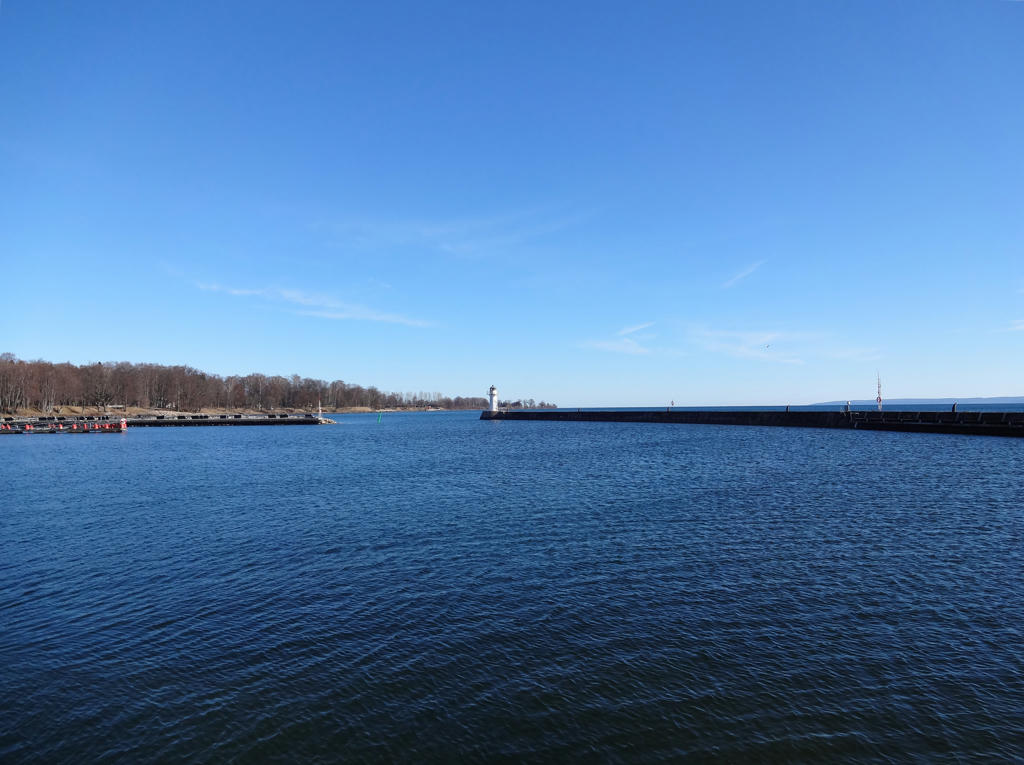
Vättern. Rotated and cropped the photo. Also used the hue restorer plug-in to reduce the cyan-ish sky color.

3.
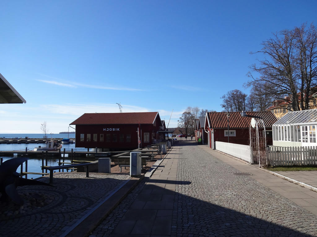
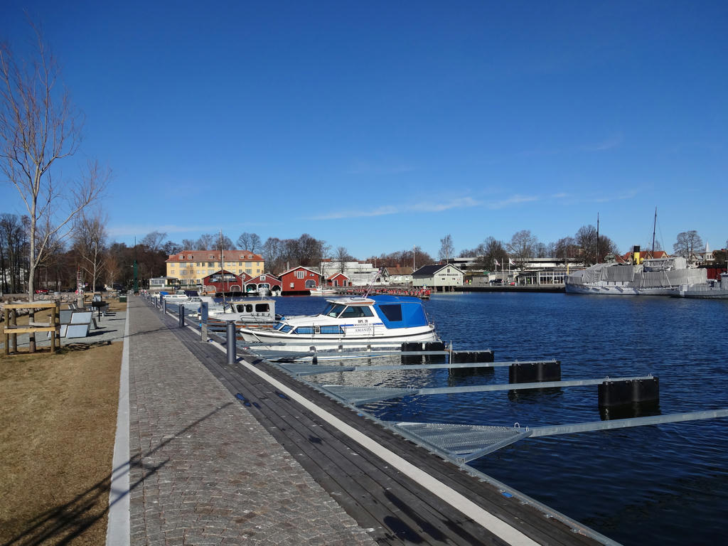
Hjo harbor.

4.
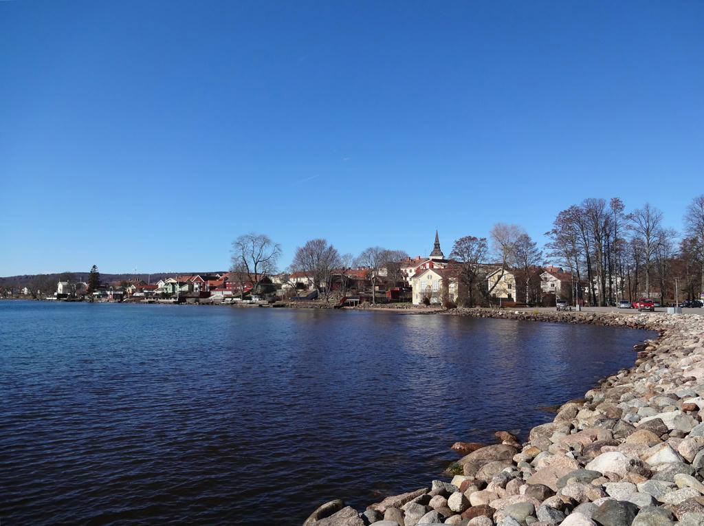
View of Hjo from the harbor. Rotated and cropped the photo.

5.
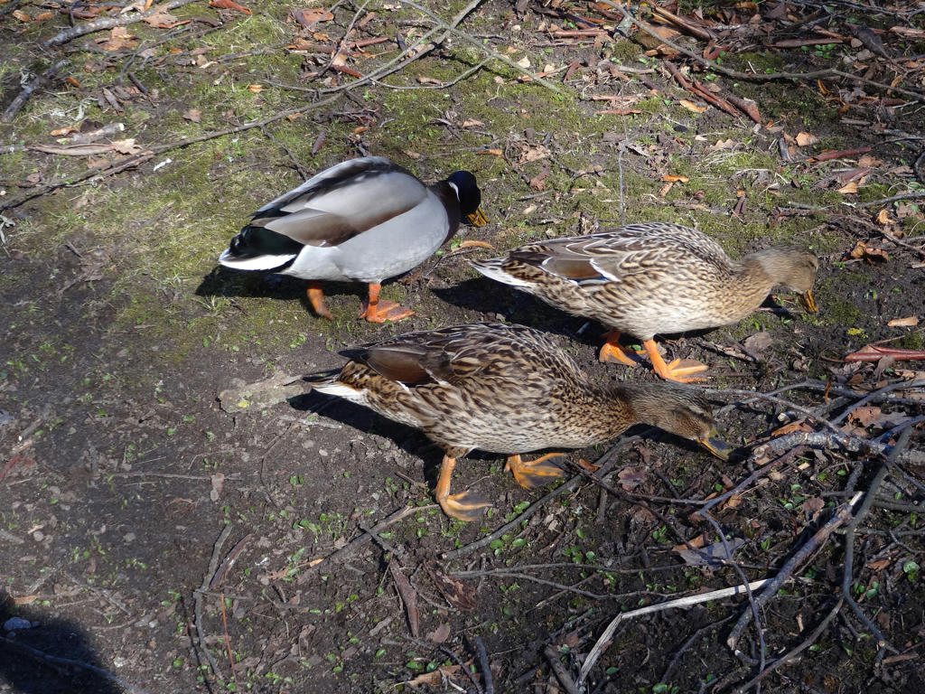
Mallards. Rotated and cropped the photo.

6.
Mallards

7.
In the Hjoåns dalgång (Hjoån's dell) nature reserve.

8.
Remains of Strömholm's Wool Factory
Strömholms Yllefabrik (Strömholm's wool factory) was built during the 1890s. It was destroyed in a fire in 1922 and hasn't been rebuilt.
Used the hue restorer plug-in to reduce the cyan-ish sky color.

9.
Grebban's Mill (Grebbans Kvarn)

10.
The trail follows the railway enbankment where the railroad between Hjo and Stenstorp once went. This stretch was part of the Västra Götaland narrow-track network.
Used the hue restorer plug-in to reduce the cyan-ish sky color.

11.
Open landscape near Hjo. Used the levels tool to first brighten the photo overall and then to brighten the non-sky parts further.

12.
Mullsjön (at Stämmorna).
Iron ore was extracted from the lake until 1934. The ore had an iron content of about 30 percent and the business was quite profitable. Throughout the years the water level in Mullsjön has decreased by 3m, which significantly reduced the area of the lake.
At Stämmorna the water level in Mullsjön is regulated. Back in the days one could take the narrow gauge railway from Hjo to visit the nice beach which used to be here.

13.
Meadow near Missveden.

14.
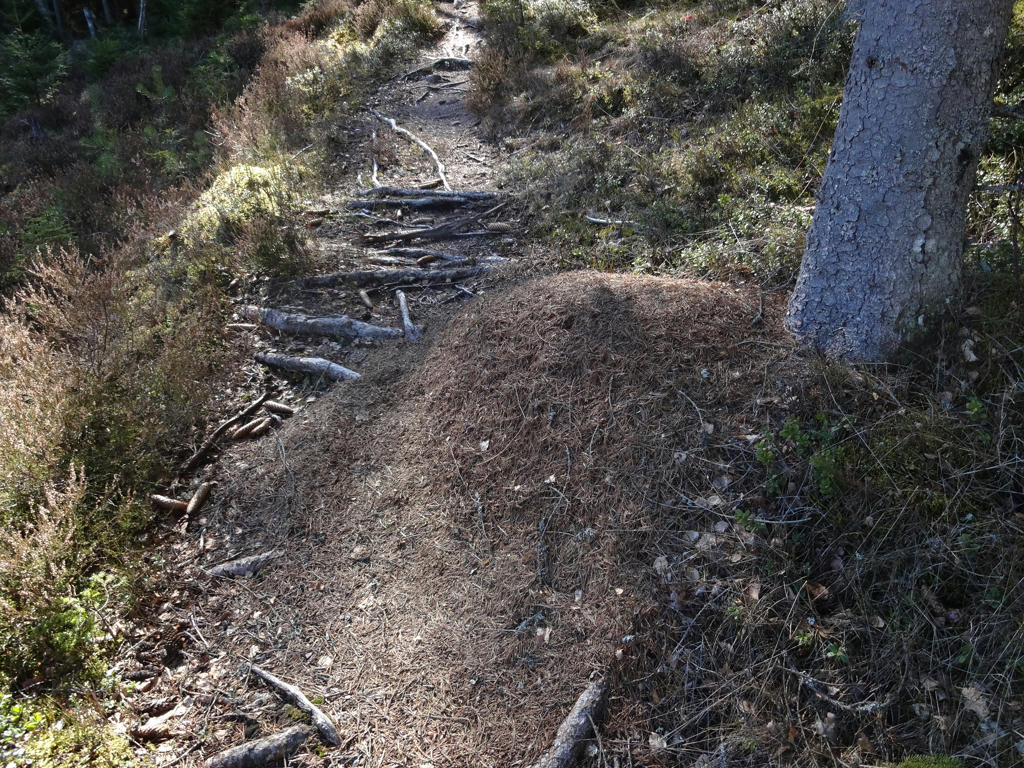
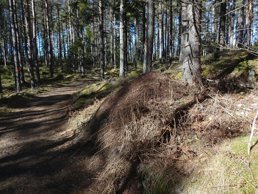
Just one of the countless anthills I've encountered during this walk.

15.
Sharpened the photo slightly using unsharp mask.

16.
For the non-sky parts I used the levels tool to reduce the effect of the blue channel (reduce the blue cast).

17.
Högaliden exercise center. Rotated and cropped the photo.

18.
Used the hue restorer plug-in to get rid of the cyan-ish sky color.

19.
20.
Used the hue restorer plug-in to reduce the cyan-ish sky color.

21.
22.
Just one of the places where the ground has been dug by boars.

23.
Rapperyd
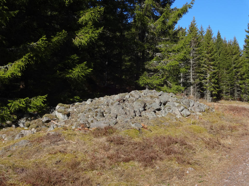
Rapperyd was one of the many homesteads which lied by the old road. The homestead was mentioned in 1795 and was back then located below Almnäs. It was a place where the youth from the region used to gather and assort. The large clearance cairns by the road indicates where Rapperyd used to be located.

24.
View from Getaryggen
The trail follows a long and beautiful boulder-ridge which is also the the border between four parishes and two municipalities: betweeen Norra Fågelås, Södra Fågelås, Korsberga and Fröjered's parishes and betweeen the Tidaholm and Hjo municipalities.

25.
Getaryggen

26.
Kärrabo
Kärrabo was according to the real estate register a monastery homestead of size 1/2 hides in 1563. In those times the name was spelled as Kierreboll. Kärrabo later became a homestead where people for the most part did work in the forest for Almnäs. As was the case also in other places, the property's standard varied over the years. In a text from 1697 the following is said: "Kiärebodh berättas 1681 ha varit ett gott hemman - nu växer uti eldstaden en stor gran." (Which means: Kärrabo was said in 1681 to be a good homestead but now there's a large fir tree growing at the fireside). In 1736 the farmer (frälsebonde) Per Persson was sentenced to pay 115 riksdaler (old Swedish currency) because of his illegal lumbering. Since he wasn't able to pay, the sentence was changed: "I brist på Penningeböter afstraffas Per Persson med 39 Par Spö, 2 slag af vardera Paret" (Which basically means his punishment instead was to get whipped 39 times). Another settler was Sköldalotta, widow after the soldier Erik. She made a living by for instance baking and selling cup-cakes. Among the last people living here was Levin and Augusta Sörman along with their large crowd of children. They had 12 children. By the road one can see the foundation to the byre demolished in the end of the 1990s.
Used the hue restorer plug-in to reduce the cyan-ish sky color. Also cropped the photo slightly.

27.
For the non-sky parts I first used the levels tool to reduce the effect of the blue channel (reduce blue cast). Then I used the levels tool to brighten the non-sky parts slightly.

28.
29.
30.
Baståsen. After finishing walking to Baståsen I actually waited for 1h9min here trying to hitchhike to Tidaholm. For some reason I hadn't checked the bus schedule properly and wasn't aware of that the bus from Rödåkra 1km away goes at this time of day (i.e. in the afternoon). After having no success with hitchhiking (despite a decent number of cars passing by) I instead started walking towards Rödåkra and waited at the bus stop. It turned out I needed to wait for 15 more minutes for the bus to arrive.
Used the hue restorer plug-in to reduce the cyan-ish sky color.