söndag 25 december 2016

Hallandsleden Walk #18: Haksered-Snödal (Thursday 28/07-16)

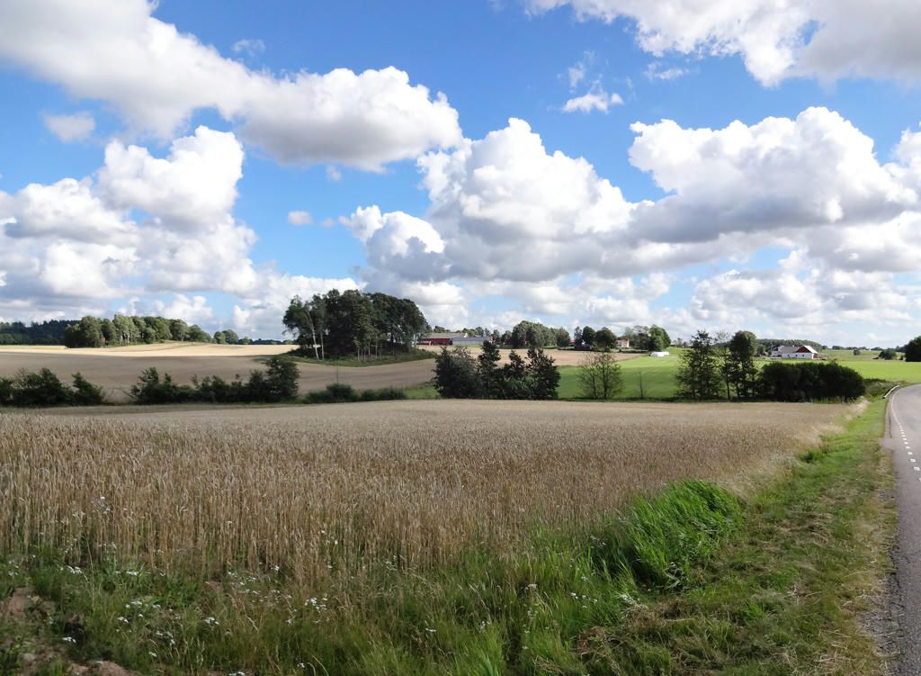
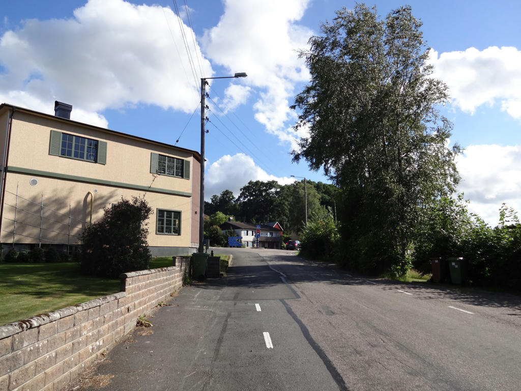
The next to last Hallandsleden walk took place on Thursday (as I've mentioned I did walks Monday to Friday to finish up Hallandsleden). This time I returned to Haksered and walked to Snödal. This part of Hallandsleden overlaps with E1 European Long Distance Path. In total the walk was only 15.5km and took me 3h14min. My average speed was thus approximately 4.79km/h.
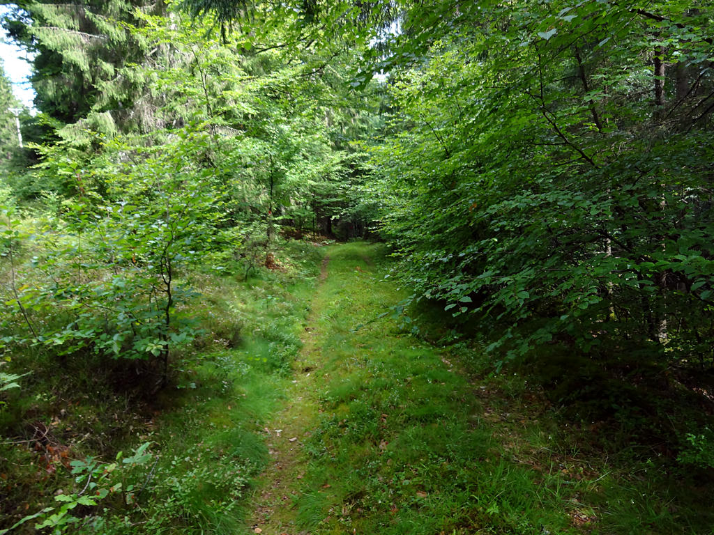
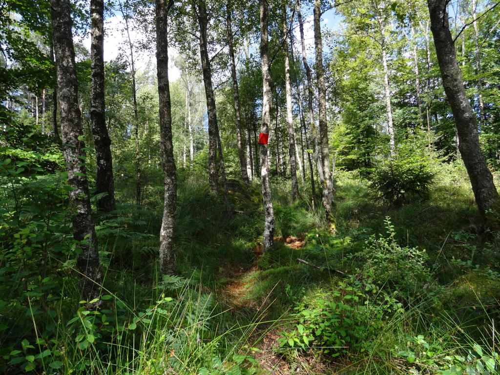
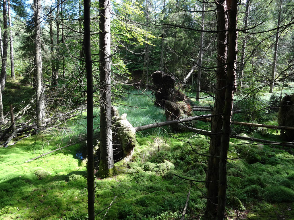
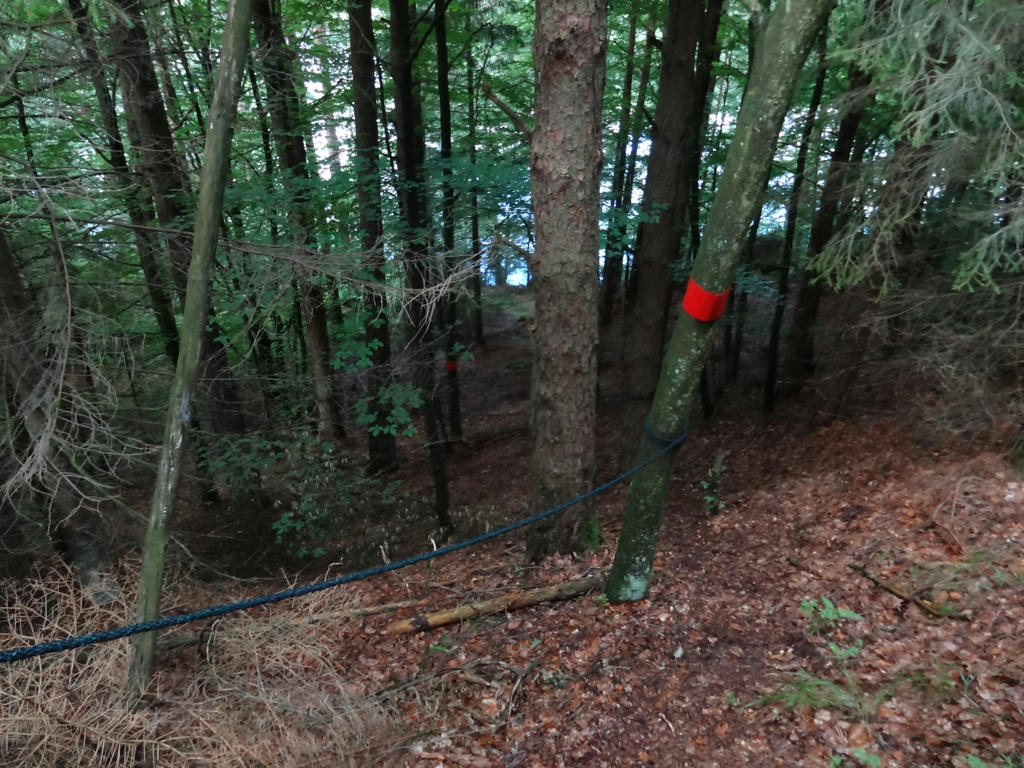
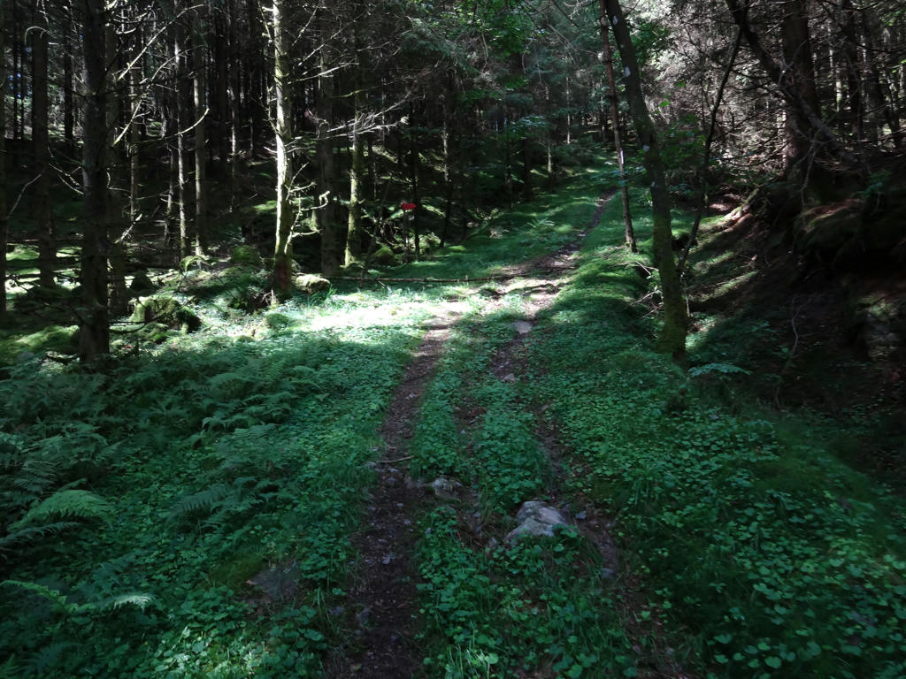
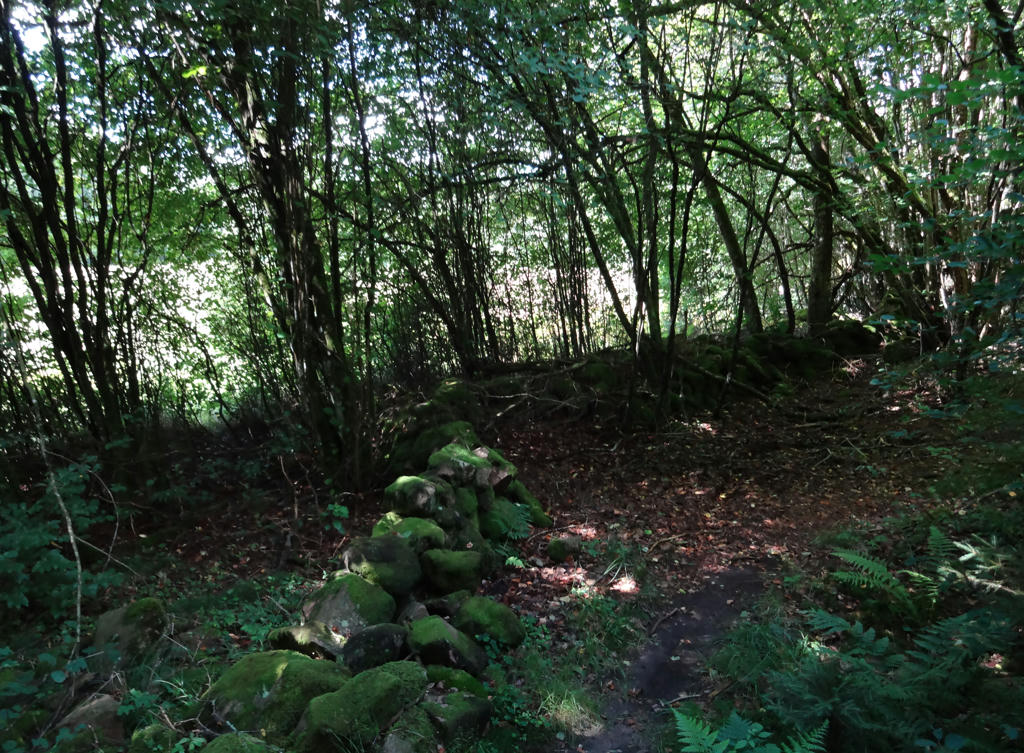
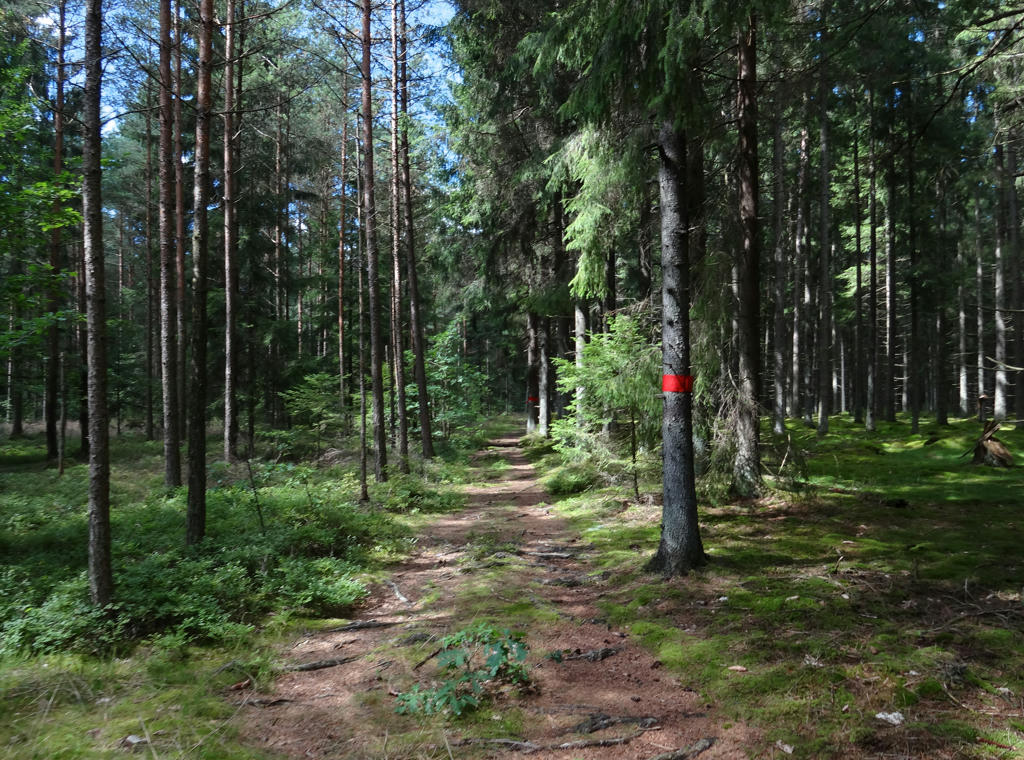
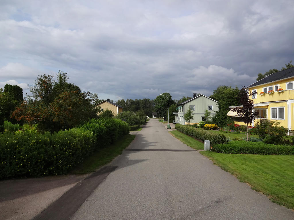
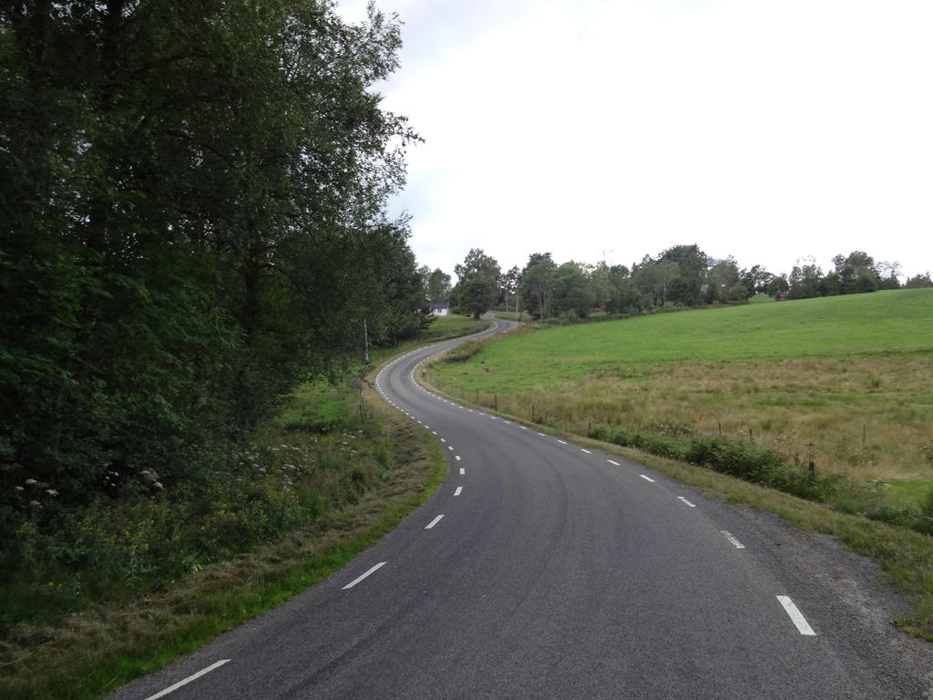
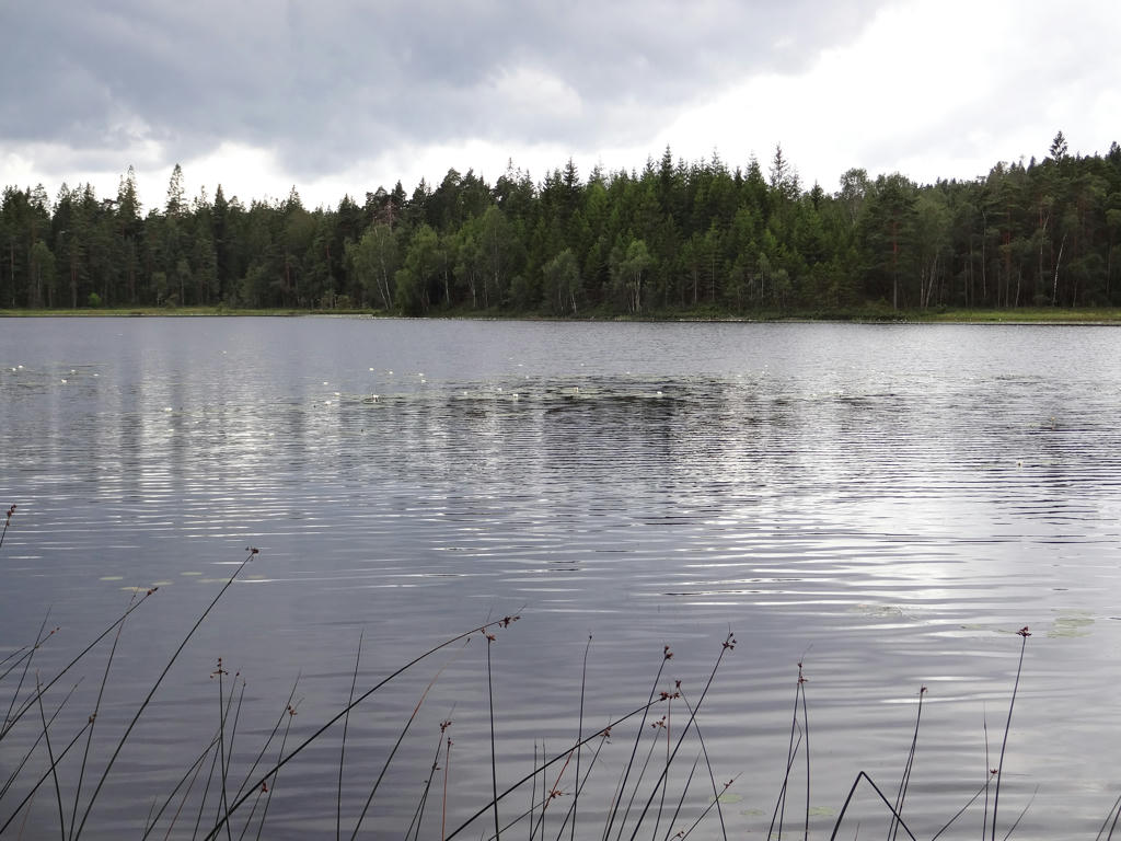
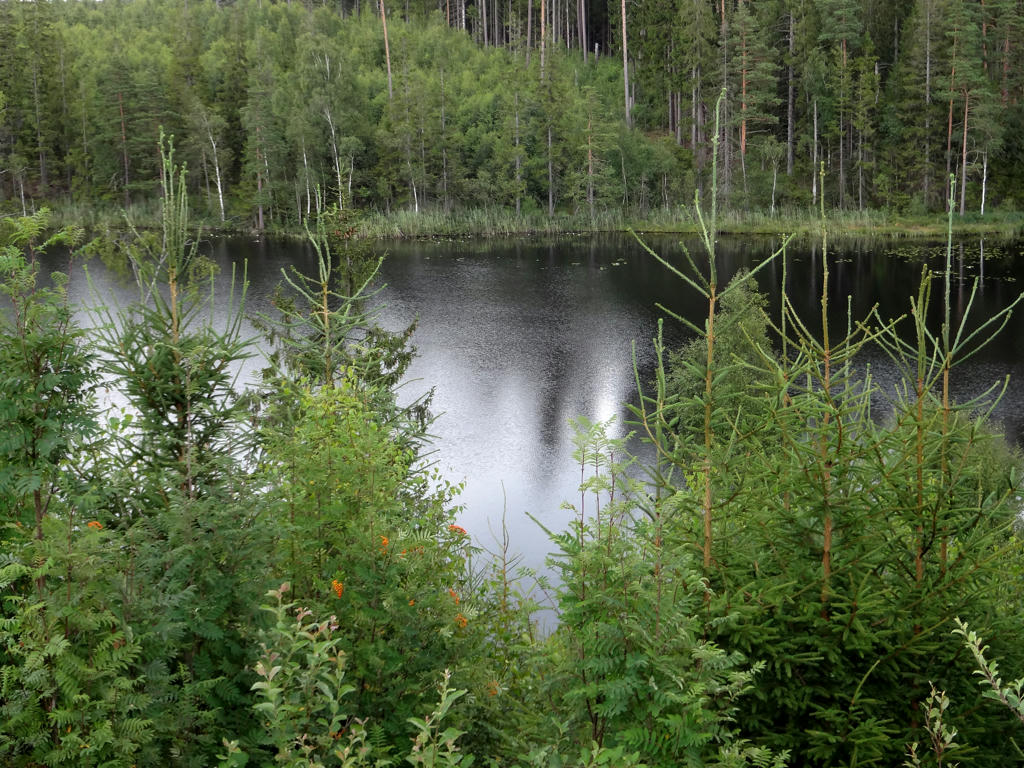
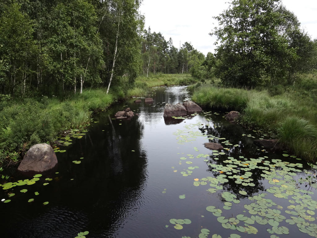
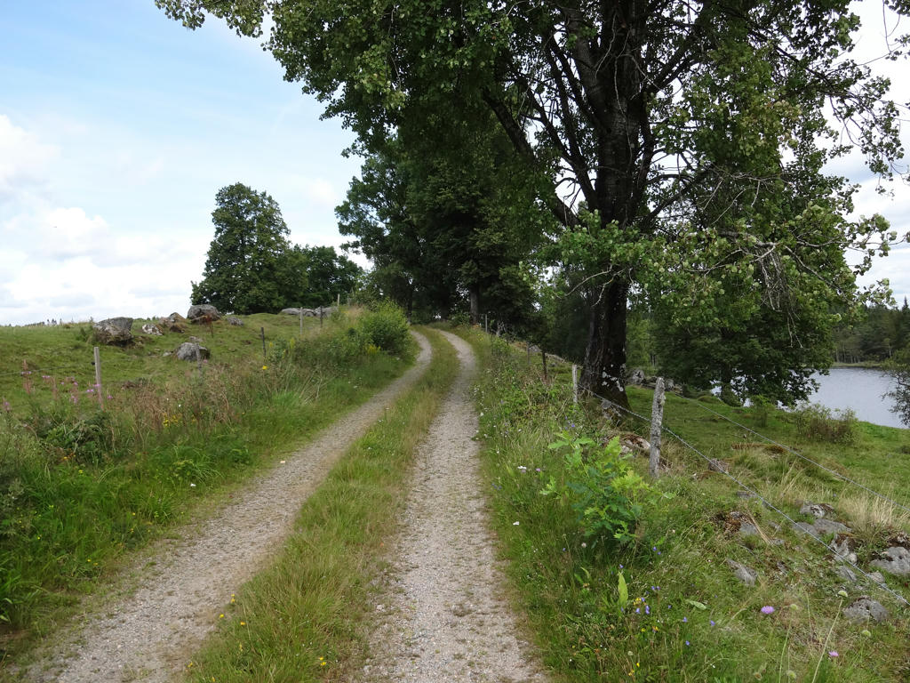
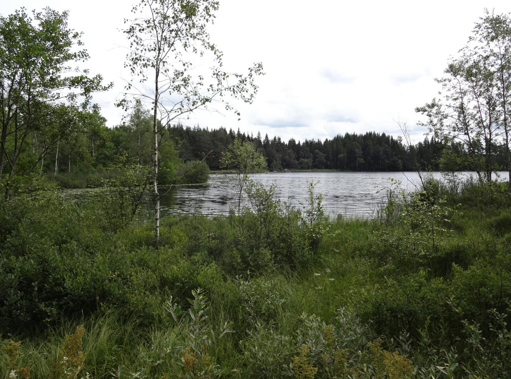
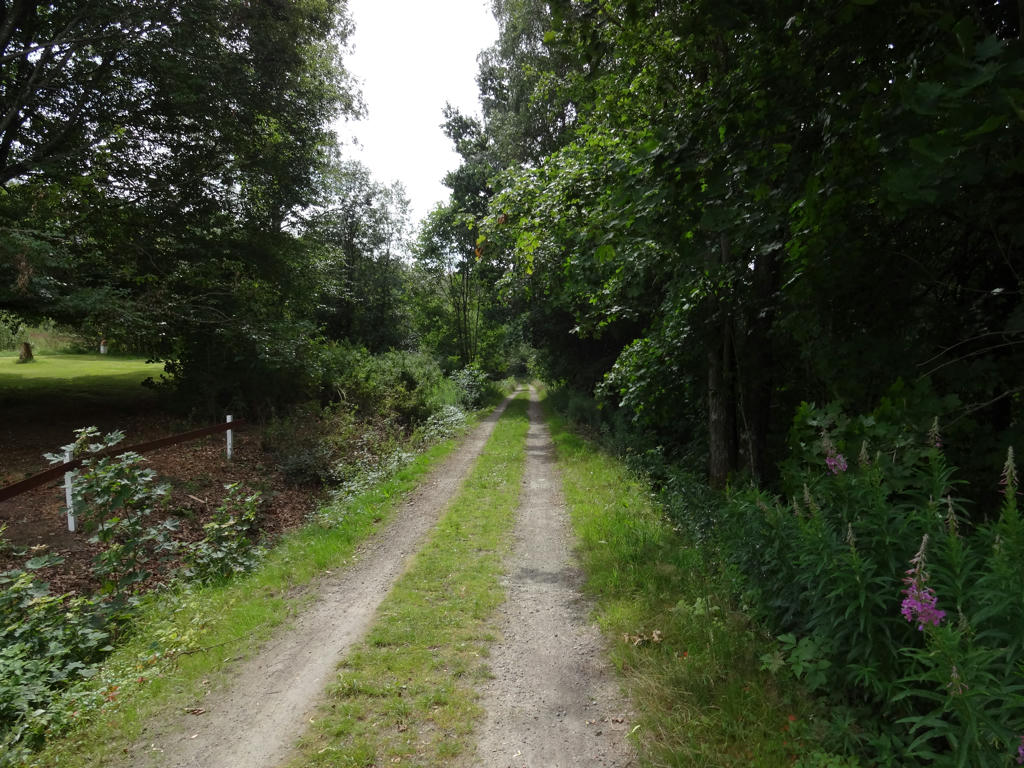
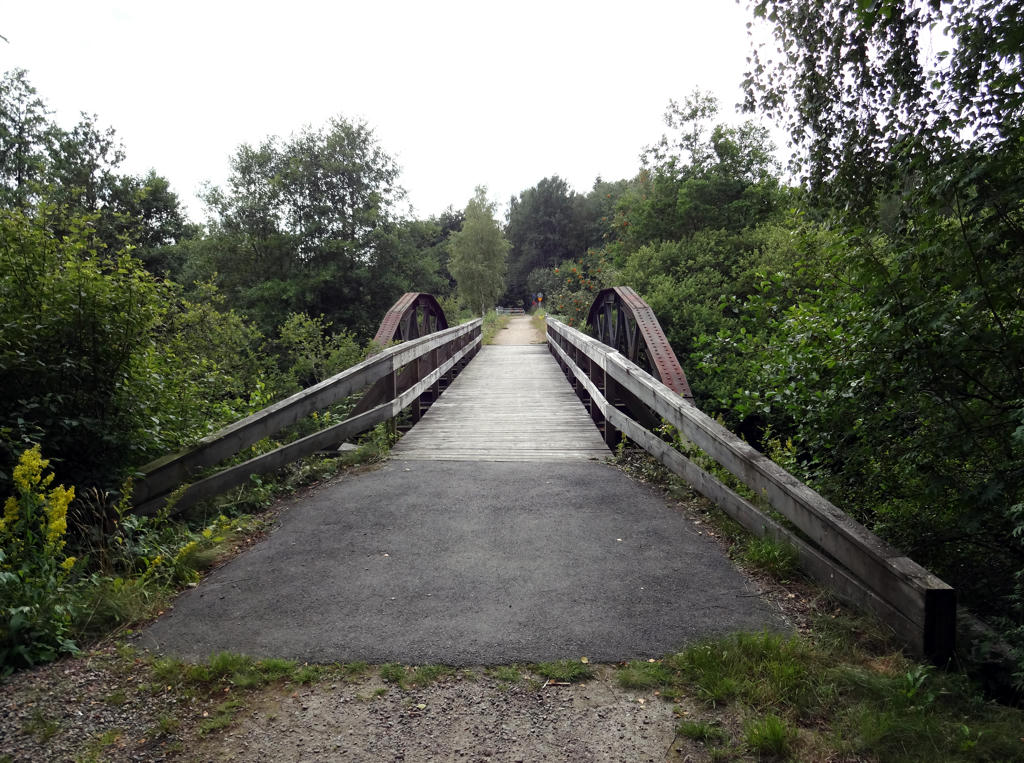
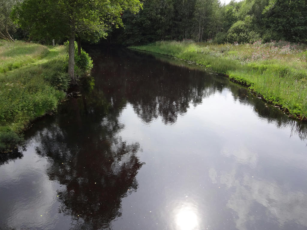
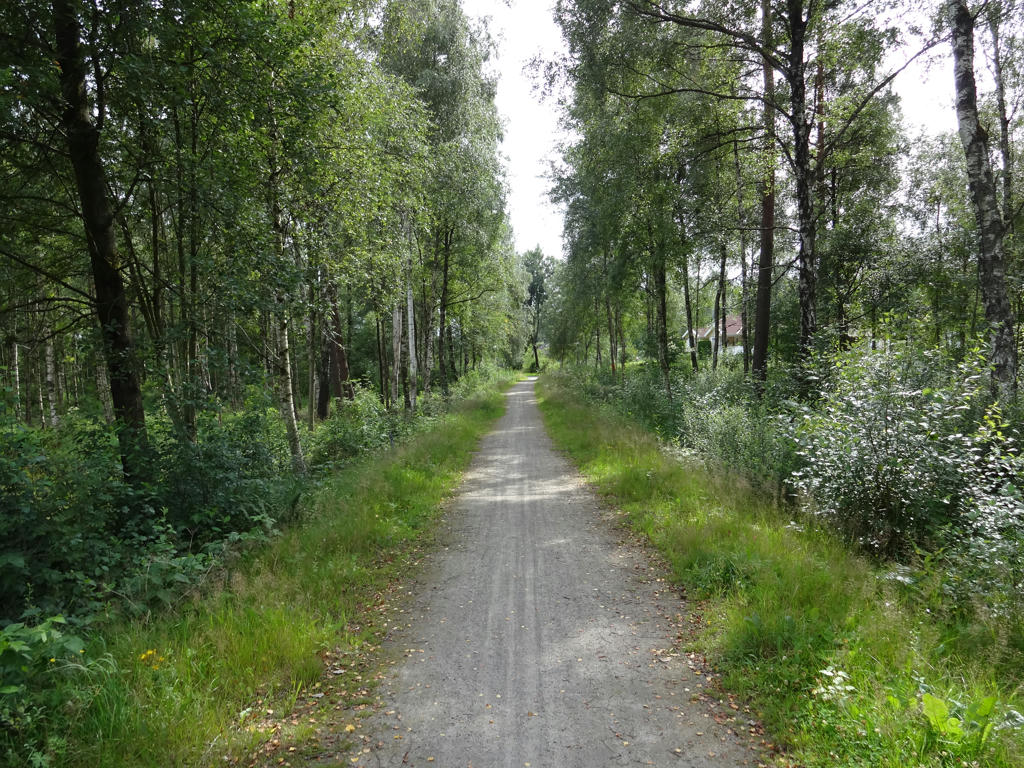
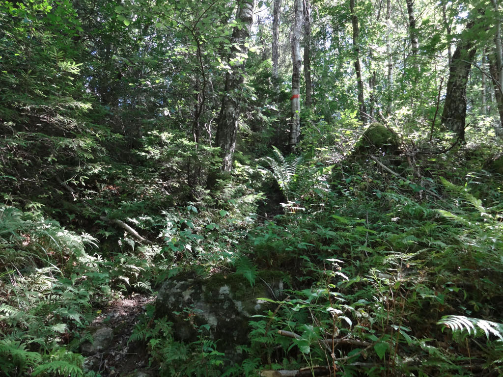
It was actually a very good walk since it went mostly through beautiful (mostly deciduous) forests (lövskog) and had nice lakes on the way. Further, this walk probably had most height variation out of any of the Hallandsleden walks, which made it even more interesting. I managed to walk quite fast despite the height variations and the wet ground but the drawback of that was that I got many blurred photos. As I've mentioned in the beginning of the blog posts I'm not good at (nor claim to be good at) taking photos but I try to improve as I go along (and the blur issue is something I've tried avoiding more and more). Either way I will try to show photos with only little blur or no blur for the most part. Enjoy the photos!


1.
2.
3.
Near Pers. Used hue restorer plug-in to get rid of the cyan-ish sky. Further I increased the brightness for the non-sky parts using the curves tool (mostly for the shadowed parts).

4.
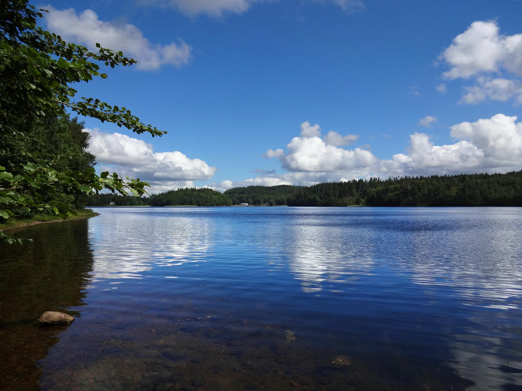
Svartesjön

5.
6.
7.
Sharpened the photo using unsharp mask and equalized the histogram.

8.
Used the hue restorer plug-in.

9.
10.
11.
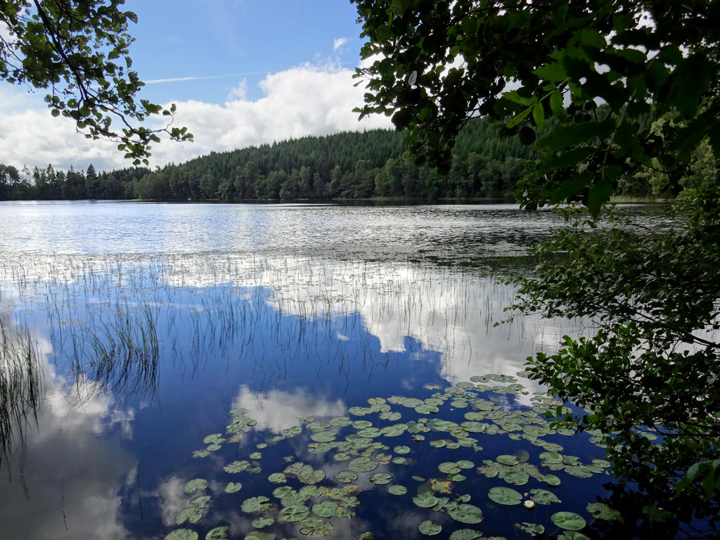
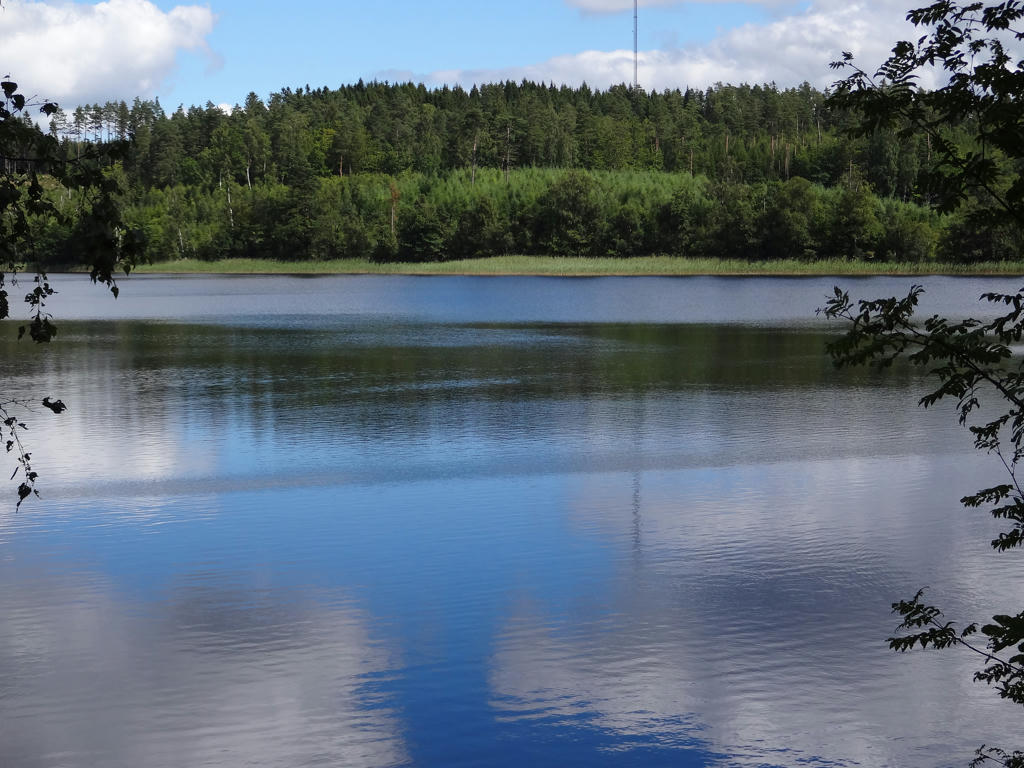
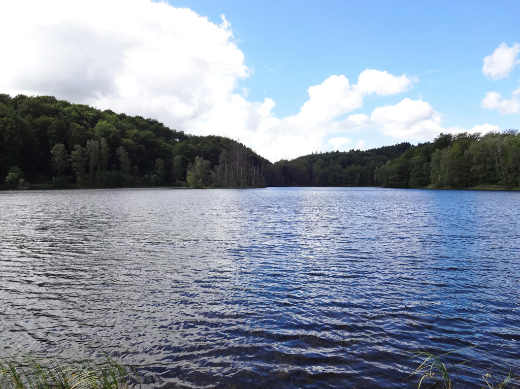
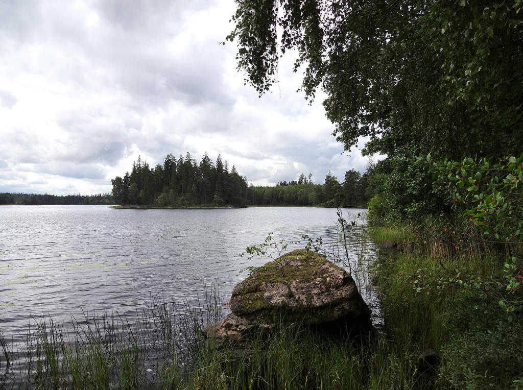
Långasjön. For the non-sky parts I first increased the contrast and then increased the brightness using first the levels tool and then the curves tool. For some reason the lake and forest parts in the back on the left side were quite blurred so I used unsharp mask to sharpen these parts.

12.
Used hue restorer plug-in to get rid of the cyan-ish parts of the sky.

13.
14.
15.
16.
Stora Neten
Stora Neten has clear water and beautifully surrounded by steep slopes. The population in Varberg get their water from Stora Neten.
Rotated the photo slightly and then cropped it. I also increased the brightness for the non-sky parts using the levels tool.

17.
Stora Neten (near Porsudden).

18.
Gällarpesjön. Used the hue restorer plug-in to get rid of the cyan-ish sky. Then I rotated and cropped the photo. Finally I brightened the non-sky parts first using levels tool and then the curves tool.

19.
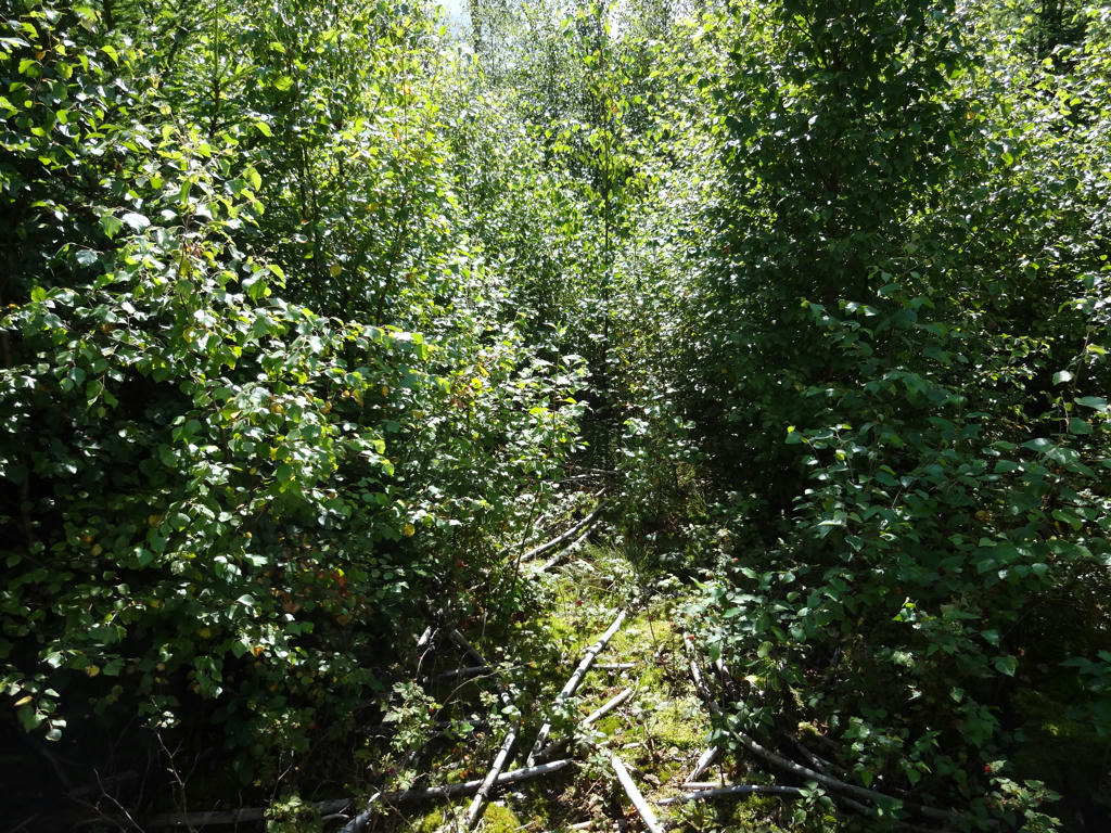
Shortly after reaching Gällarpesjön there's a part of the trail which is overgrown and I couldn't find the correct way to go. I ended up walking around on the gravel road nearby instead.

20.
21.
"Stone strips
If you are observant you will notice that the paths run across several parallel strips of stones, a short distance from each other. These stone strips were dividing lines between long, narrow fields, here since prehistoric times."
Rotated and cropped the photo. Then I used the hue restorer plug-in to get rid of the cyan-ish parts of the sky (although it didn't make much of a difference in this case).

22.
Used hue-restorer plug-in to get rid of the cyan-ish sky. Then I rotated and cropped the photo.
onsdag 21 december 2016

Hallandsleden Walk #17: Ätran-Ullared (Wednesday 27/07-16)

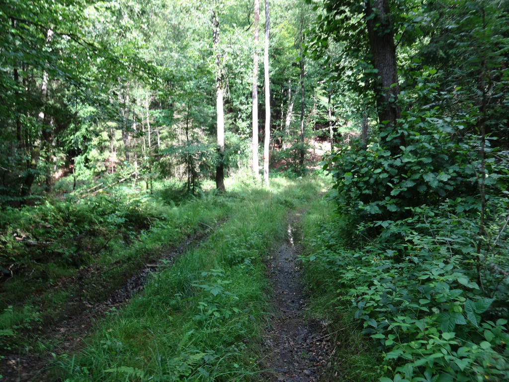
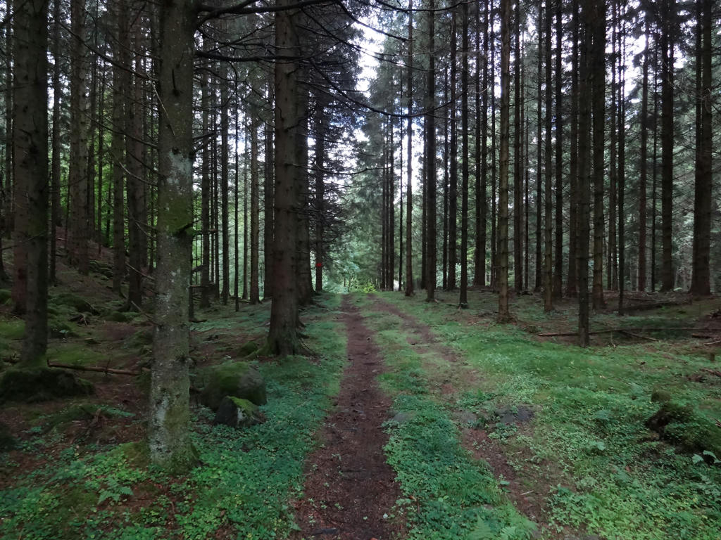
On Wednesday I returned to Ätran but this time I went in the other direction, i.e. northwest towards Gunnarp, Kärnebygd and Bökeslätt and then southwest until I reached Ullared. It is a quite indirect way of walking from Ätran to Ullared to say the least as can be seen on this map. Either way, the walk was in total 26km and took 6h51min. Thus my average speed was 3.78km/h, which is not too bad.
The main characteristic of the walk is that you walk either on asphalt roads or gravel roads almost all the way. The walk goes mostly through forest regions but there's also plenty of small scale farm land on the way. Another characteristic is that there are many villages on the path and it feels like you're far away from any significant conurbation (tätort), especially since the walk takes place mostly on small roads. Overall I enjoyed the walk and don't have any complaints about it. I did get lost at one point but it was mostly my own fault for not paying attention and therefore missing a sign. Enjoy the photos!


1.
In Ätran.

2.
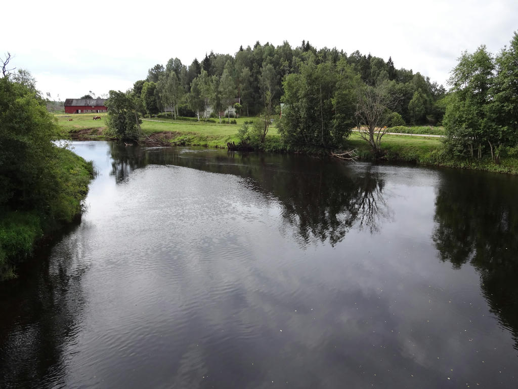
Ätran

3.
4.
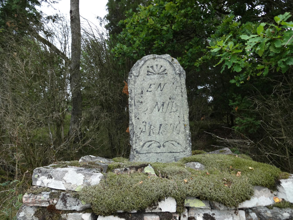
"Milestone
This milestone is from 1846 and shows that you are now following the old highway between Gällared and Gunnarp. There was "1/2 mil" left until the inn in Gunnarp. The equivalent distance today is 5.3kms."

5.
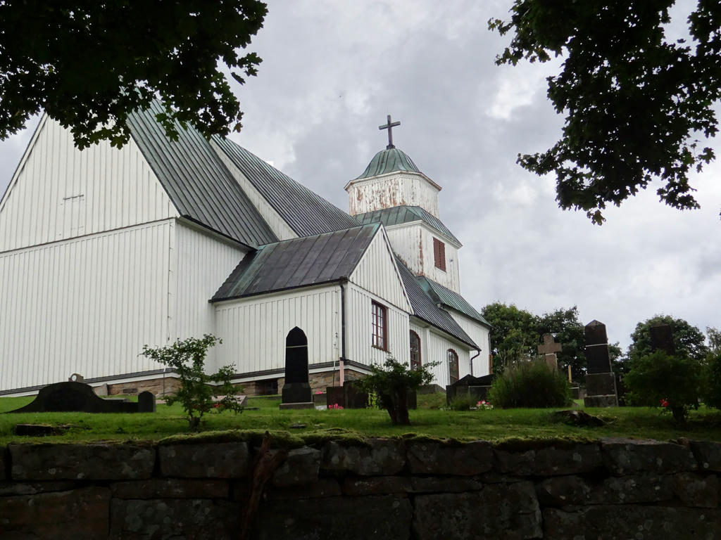
Gunnarp Church
This is one of the very few wooden churches in Halland. It was constructed in 1755-56 and it replaced an older church at the same place.
Increased the overall brightness using the levels tool. Then I increased the brightness for the non-sky parts using the levels tool.

6.
7.
Mjälsjön.

8.
Saxesjön. I reduced the brightness and increased the contrast for the photo using the levels tool. Then I further decreased the brightness using the curves tool.

9.
Bålabron. Rotated and cropped the photo.

10.
Tjärnesjön. Increased the overall brightness using the levels tool. Then for the non-sky parts I increased the brightness using first the levels tool and then the curves tool.

11.
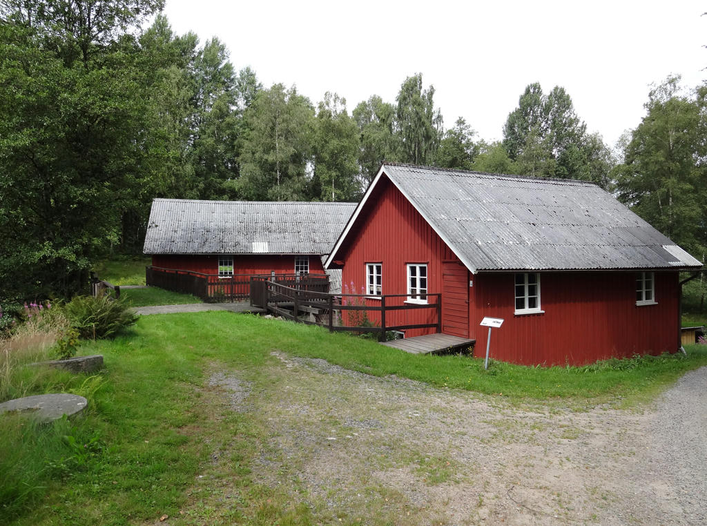
Kärnebygd's saw and mill
The saw and mill in Kärnebygd dates back at least to the 1700s. There are however rumors that a mill existed here already in the 1400s. The first known mill here was a so called "skvalta" which was built sometime in the years 1700-1725.
In 1858 the skvalta mill was replaced with a mill that had a standing water wheel and gear. A so called wheel mill (hjulkvarn) drives the stones with a higher speed compared with a skvalta and can thus mill/grind grain which isn't dried especially much.
The next reconstruction was done in 1906 when the rye mill was added. Consequently the facility got its' current appearence containing two very powerful water wheels placed after each other in the side building.
In 1914 a small 110 volt DC generator driven by the sawmill was installed. Thus the neighborhood recieved electricity but only between 06.00 and 22.00 during the first couple of years. Eventually a large generator with a specific turbine was added and it gave electricity around the clock until 1956 when Yngeredsfors Kraft AB took over the deliveries of the electrity.
Rotated and cropped the photo.

12.
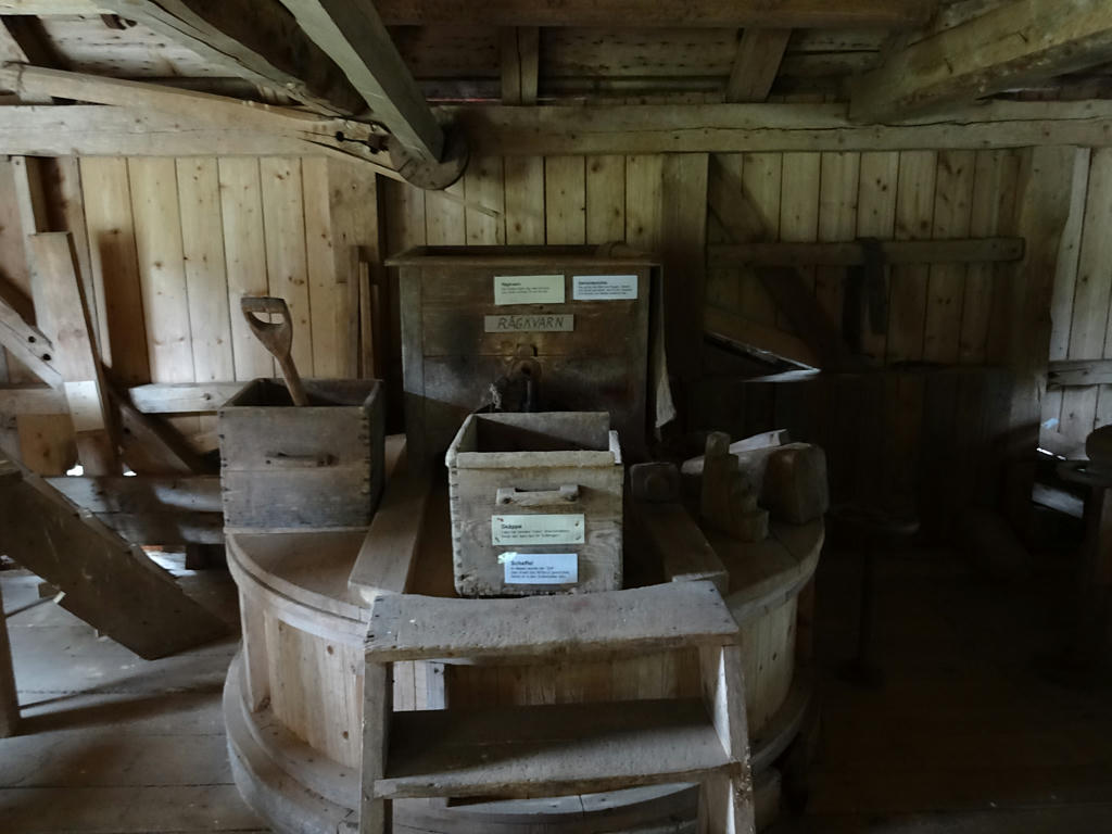
A look inside Kärnebygd's saw and mill. Increased the sharpness of the photo using unsharp mask.

13.
Kalvsjön. Shortly after Kalvsjön I got lost since I didn't see the sign for where I was supposed to be going. Walked around probably up to 30 minutes before I found where to go.
Rotated and cropped the photo. After that I increased the brightness for the non-sky parts slightly using the levels tool.

14.
Spikån. Increased the brightness for the non-sky parts using the levels tool.

15.
Close to Mellersta Höghult. The lake in the background is St. Gullskivan.

16.
St. Gullskivan. Rotated and cropped the photo.

17.
Removed the cyan-ish sky using the hue restorer plug-in.

18.
After Lia and almost until Ullared the trail goes on the enbankment for Pyttebanan. Today parts of it are used as cycle paths instead.
"You are actually following the old railway enbankment for Pyttebanan - a narrow-gauge railway which ran between Falkenberg and Limmared in Västra Götaland."

19.
"The River Högvadsån
The River Högvadsån provides important spawning grounds for salmon and is home to a unique strain. The river is not only a favorite habitat for salmon and salmon trout but is also one of the most important watercourses in Halland for the freshwater pearl mussel. This species of mussel can be up to 250 years old and requires clean water for survival. One in fifty mussels contains a pearl."

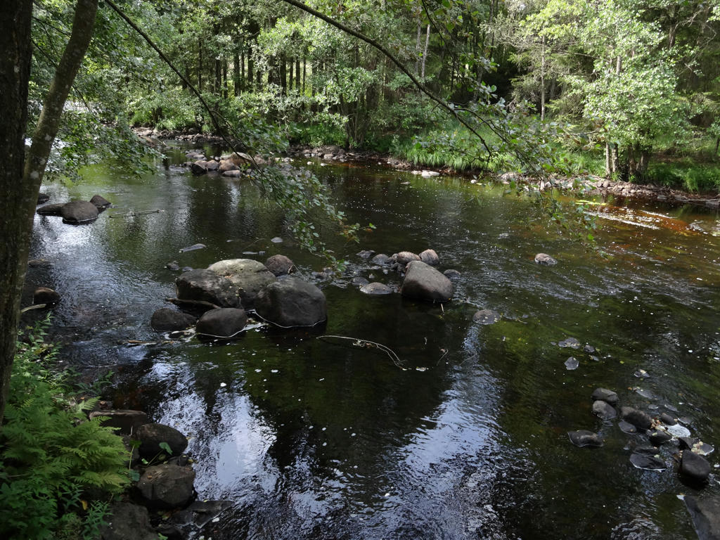
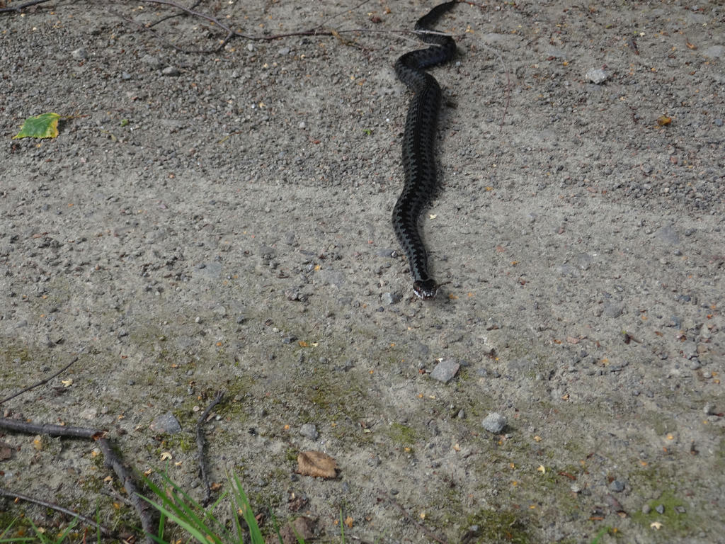
20.
A viper.

21.
22.
Rotated and cropped the photo.

23.
Railway bridge which used to be part of Pyttebanan
"This beautiful railway bridge carried many passing trains and railbuses up until 1959."
Rotated and cropped the photo. Then I equalized the histogram for the non-sky parts.

24.
Högvadsån between Århult and Ammås.

25.
Not far from Ullared.

måndag 19 december 2016

Hallandsleden Walk #16: Hakestad-Vessigebro (Tuesday 26/07-16)

The next day I returned to walk from Hakestad to Vessigebro. The walk was fairly short, only 12.5km, but this was the best way to split up the part of Hallandsleden between Hakestad and Asige. It took only 2h23min to finish the walk and my average speed was thus 5.25km/h. The main reason I walked so fast was because the trail went on asphalt roads almost all the way, the only exception being close to the beginning shortly after Hakestad to near Axtorna. The walk went through Ätradalen for the most part, which is Ätran's wide and fertile dell. There is lots of farm land in Ätradalen. Enjoy the photos!

1.
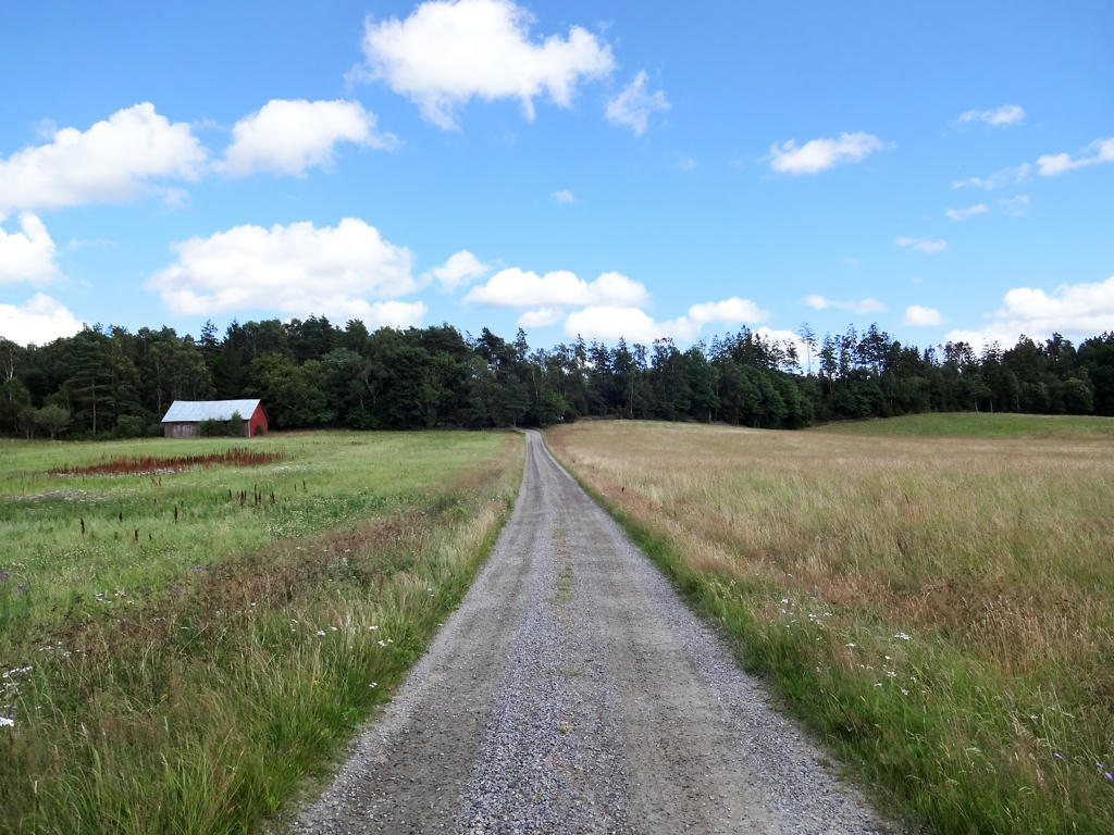
Near Svalåsen.

2.
After Myrekull. Used the hue restorer plug-in to get rid of the cyan-ish sky parts. Then I brightened the non-sky parts and increased the contrast using the levels tool.

3.
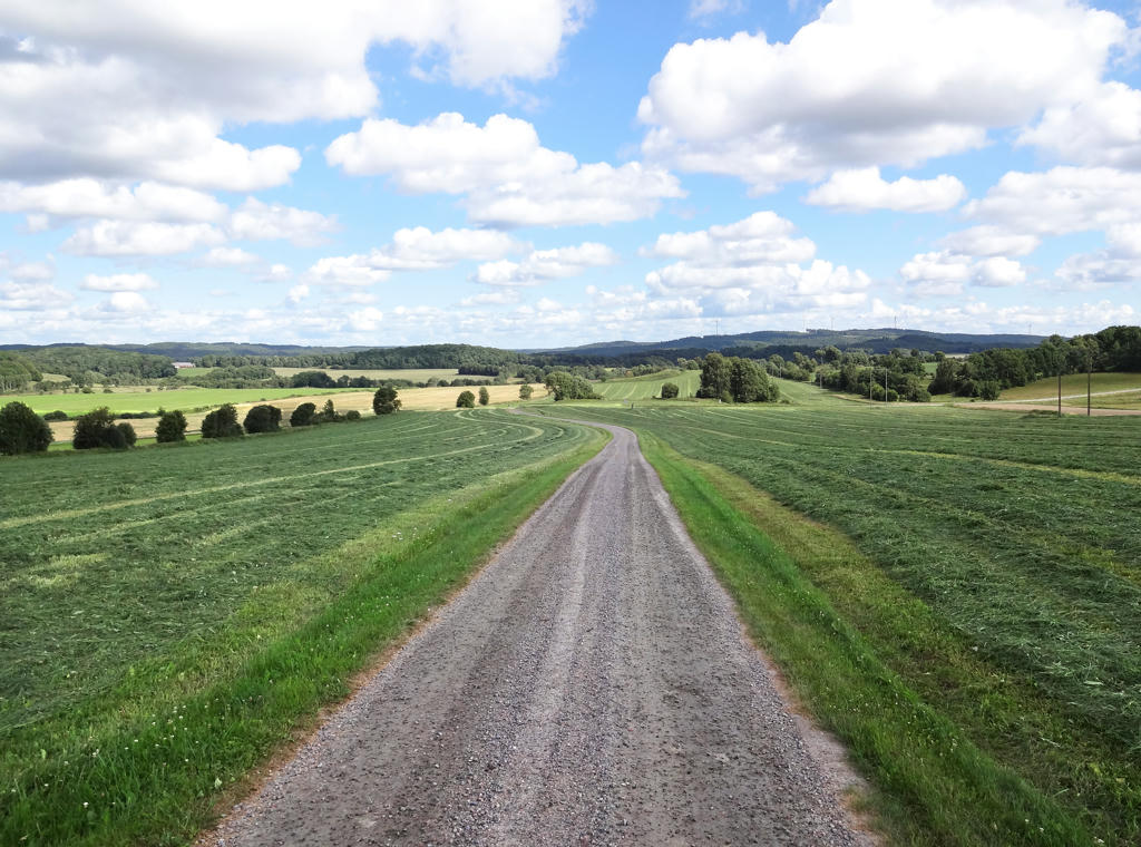
View of the landscape from Kullen. Rotated and cropped the image. Then I removed the cyan-ish sky using the hue restorer plug-in. The foreground region, which is shadowed, was way too dark for some reason and therefore I brightened it (using the levels tool).

4.
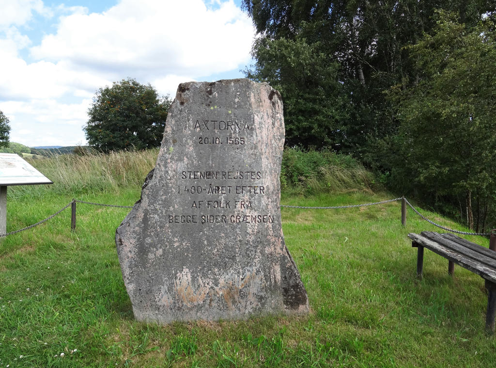
Axtornastenen (The Axtorna Stone)
The bloodiest battle in the nordic seven year war (1593-1570) took place here on Axtorna heath a spring day in 1565 back when Halland was Danish. A Swedish army of 12000 men under the command of Jakob Hästesko had marched from north and set up camp near Svartrå. The Danish army under the command of Daniel Rantzau approached from the south. It consisted of 8000 men, many of which were mercenaries. This stele was raised in 1965, 400 years after the battle.
Used hue restorer plug-in to remove the cyan-ish sky. Then I rotated and cropped the photo. Finally I increased the brightness for the non-sky parts using the levels tool.
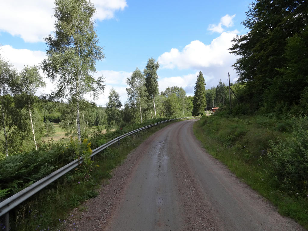
5.
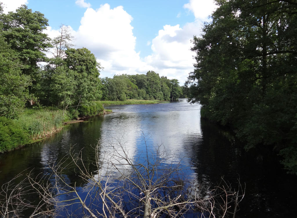
Ätrafors. Removed the cyan-ish sky using hue restorer and then I rotated and cropped the photo.
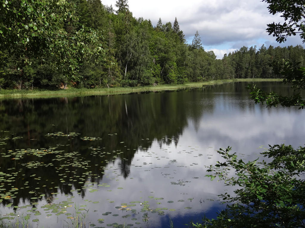
6.
Ätran. Rotated and cropped the photo. Then I also removed the cyan-ish sky using the hue restorer plug-in. Finally I sharpened the forest part in the back using unsharp mask (for some reason that part was unusually blurred and it didn't fit with the rest of the photo).

7.
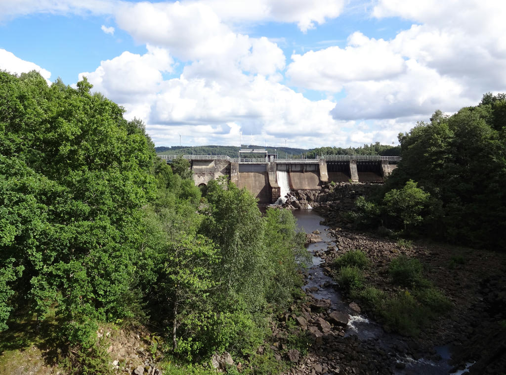
Ätrafors hydro power station. Rotated and cropped the photo. Also used the hue restorer plug-in to remove some cyan-ish parts of the sky.

8.
Ätraforsdammen. Brightened the forest part on the right and the corresponding shadows in the water using the levels tool.

9.
10.
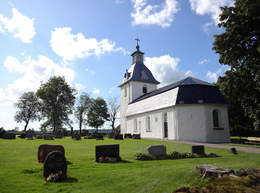
Askome Church. This church is from the 1700s and among other things it has beautiful ceiling paintings.
Rotated and cropped the photo. Then I brightened the non-sky parts slightly using the curves tool.

11.
12.
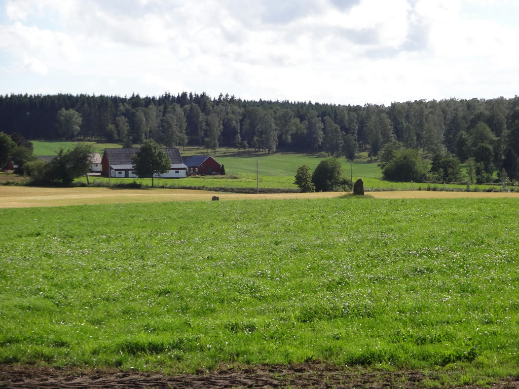
South of Askome there are six grave stones from the iron age. Two of the grave stones are visible on this photo.

13.
Hede. Increased brightness for the non-sky regions first using the levels tool and then the curves tool. Then I rotated and cropped the photo.
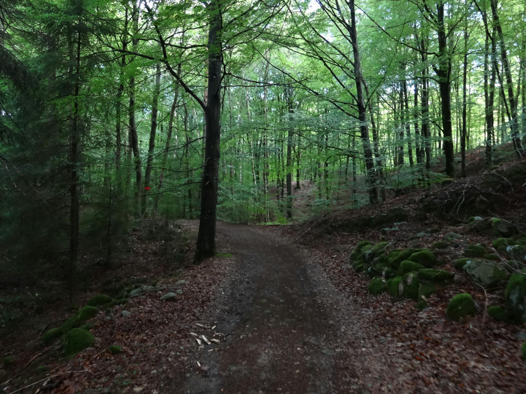
14.
Bjerrome. Increased brightness for the non-sky regions first using the levels tool and then the curves tool. Then I rotated and cropped the photo.
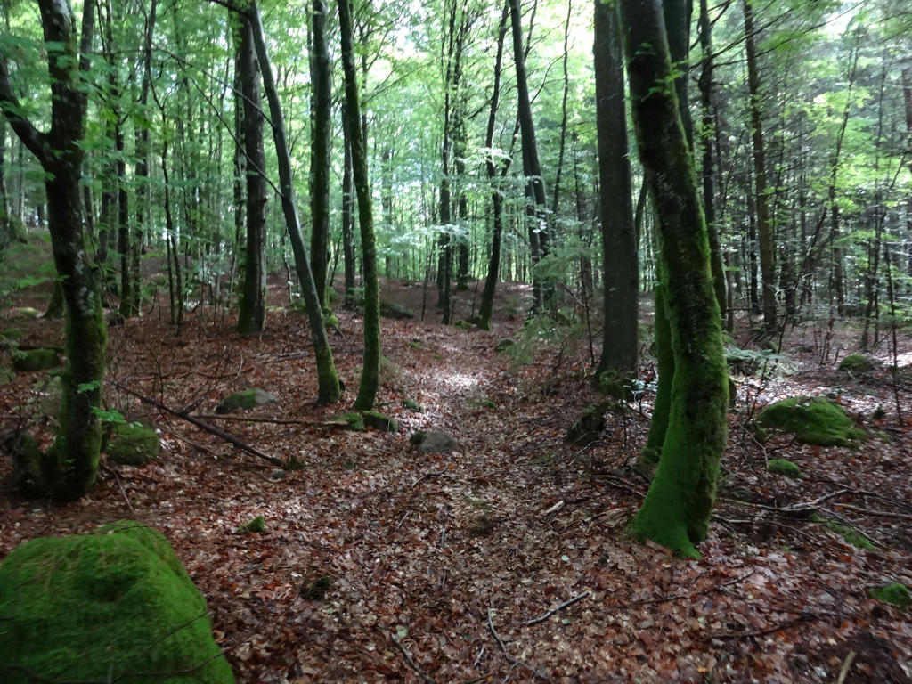
15.
Vessigebro