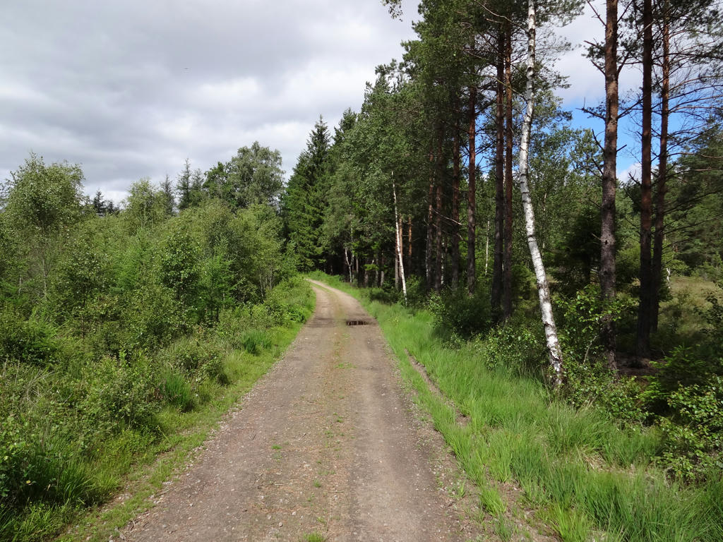
Most of the walk took place on asphalt and gravel roads but that didn't make it less interesting, it just made it faster. I enjoyed the walk quite much although I got a bit lost (for due to the poor maintenance of the trail at one spot). Without further ado I present the photos.
1.
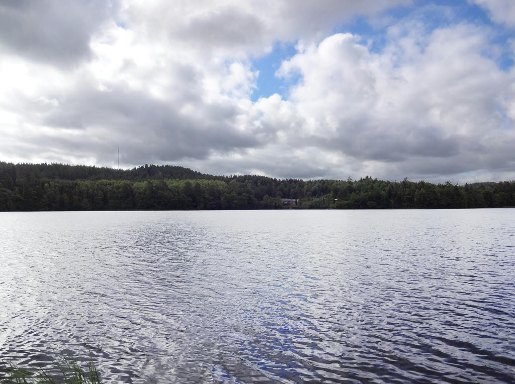
Bredaredssjön. Rotated and cropped the image. Then I increased brightness (using Curves tool in GIMP) for the non-sky parts and increased contrast for the forest part.
2.
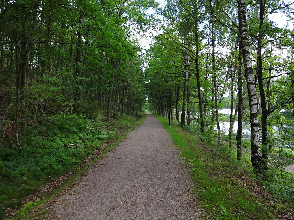
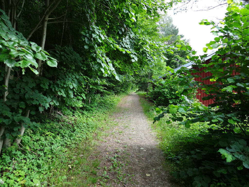
The first 7km of this walk followed Bolmebanan, which is described as:
"You are now following the old railway embankment of Bolmenbanan. This was a narrow gauge railway which ran between Halmstad and Bolmen in Småland from 1889 to 1966. Today the stretch is also part of the cycle route Banvallsleden which finishes in Blekinge."
Sharpened the photo using unsharp mask.
"You are now following the old railway embankment of Bolmenbanan. This was a narrow gauge railway which ran between Halmstad and Bolmen in Småland from 1889 to 1966. Today the stretch is also part of the cycle route Banvallsleden which finishes in Blekinge."
Sharpened the photo using unsharp mask.
3.
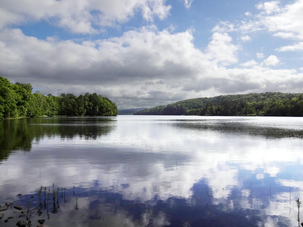
Simlången. I rotated and cropped the photo. After that I increased the brightness (using curves tool in GIMP) for the non-sky parts and also for the sky part separately. Further I increased contrast for the forest part.
4.
5.
6.
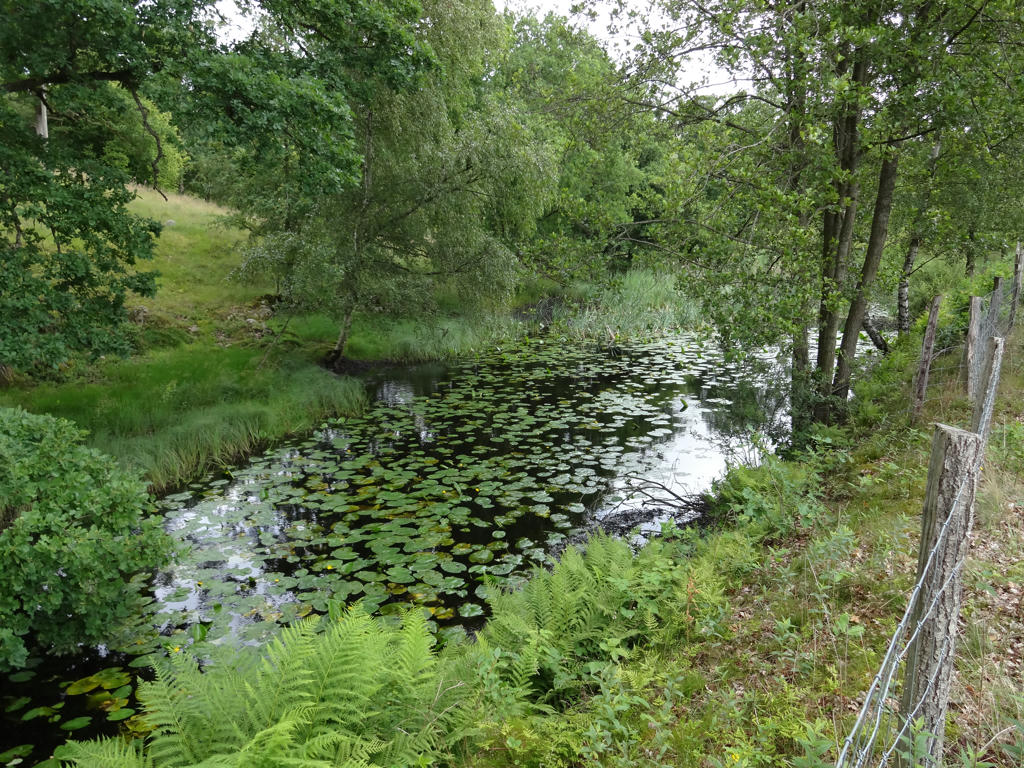
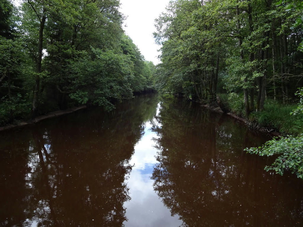
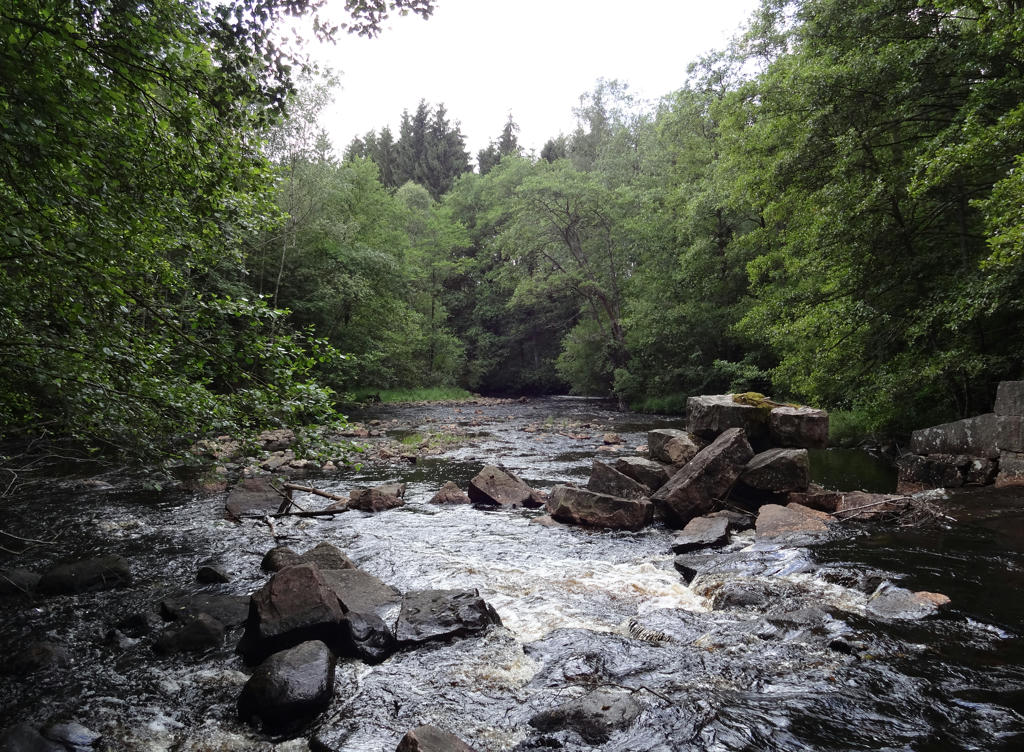
Fylleån. This is one of Sweden's protected national rivers. The river's water is fawn-colored by water from marshes near the province border with Småland. The bottom of the river is grainy and makes Fylleån a good water for lekking salmon fish. Fylleån got its' name because it is sometimes overflows/floods during spring.
7.
Near Gyltige
8.
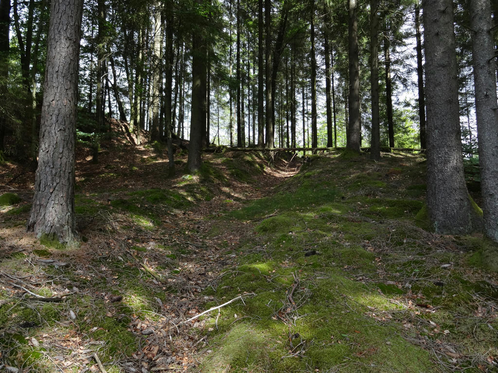
Sunked road.
"Loose bedrock, sloping land and horse and oxen hooves provide the optimal conditions for the formation of sunken roads. The ground is loosened and gravel washed away by the rainfall that follows. When the same stretch of road was continually used, sunken roads which could be one or two metres deep were formed."
"Loose bedrock, sloping land and horse and oxen hooves provide the optimal conditions for the formation of sunken roads. The ground is loosened and gravel washed away by the rainfall that follows. When the same stretch of road was continually used, sunken roads which could be one or two metres deep were formed."
9.
10.
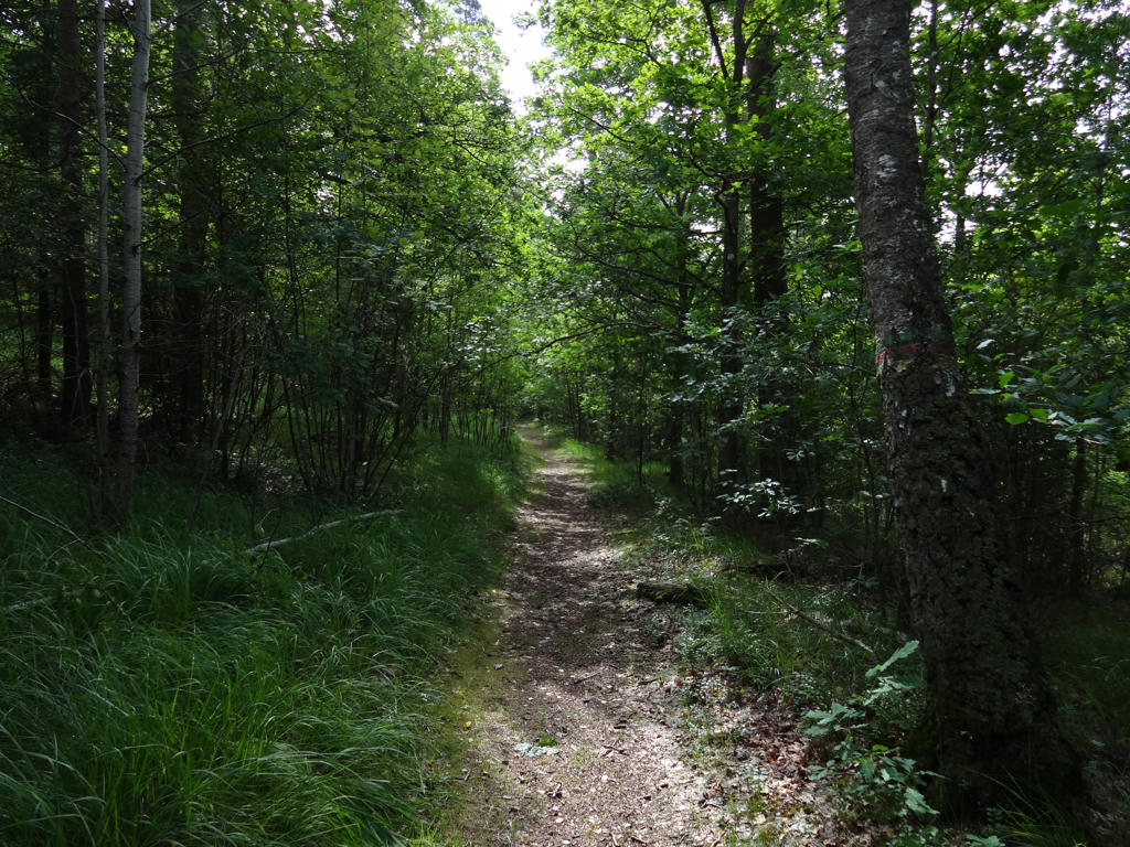
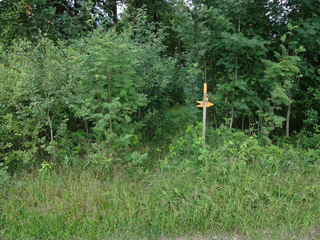
This is the sign I missed when I got a bit lost. It was a bit hidden behind some bushes and the part of the trail which followed after this was in need of maintenance. Decreased the effect of the channel/removed the blue cast.
11.
Increased brightness and contrast for the non-sky parts.
12.
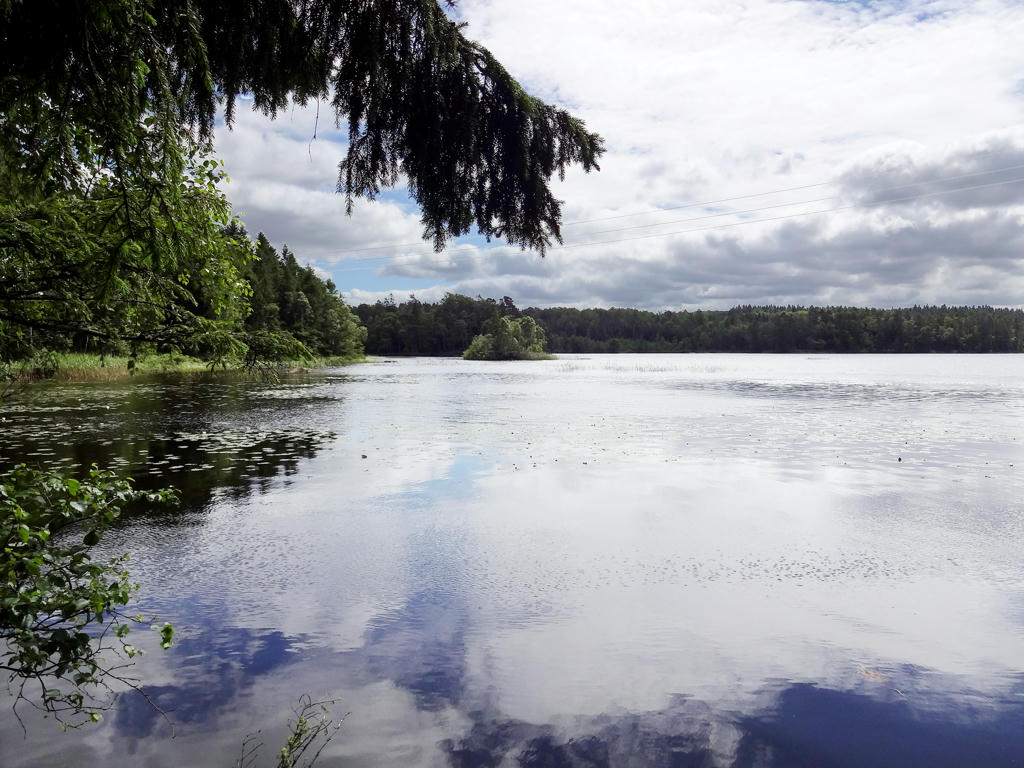
Stora Ullasjön. Rotated and cropped the photo. Then for the non-sky parts I increased the brightness using the curves tool and increased the contrast.
13.
14.
Used the Hue Restorer plugin to reduce the cyan-ness of the sky (which didn't make much a difference in this case). When I was writing the blog post for Hallandsleden Walk #8 between Knäred and Simlångsdalen I noticed that some of my photos had unnaturally looking cyan/cyan-ish sky. When writing this blog post I started looking into the issue and found that it probably has to do with oversaturation of the sky (too much green color). I also looked for ways to remove it but found it to be quite tricky. After much searching I found the hue restorer plug-in and it does exactly what I needed with just a few clicks. It is a Photoshop plug-in but I found a converter between Photoshop plug-ins and GIMP plug-ins (which is possibly even more amazing than the plug-in itself).
15.
16.
Increased brightness (using the curves tool) and contrast for non-sky parts. Also slightly increased contrast for the sky.
17.
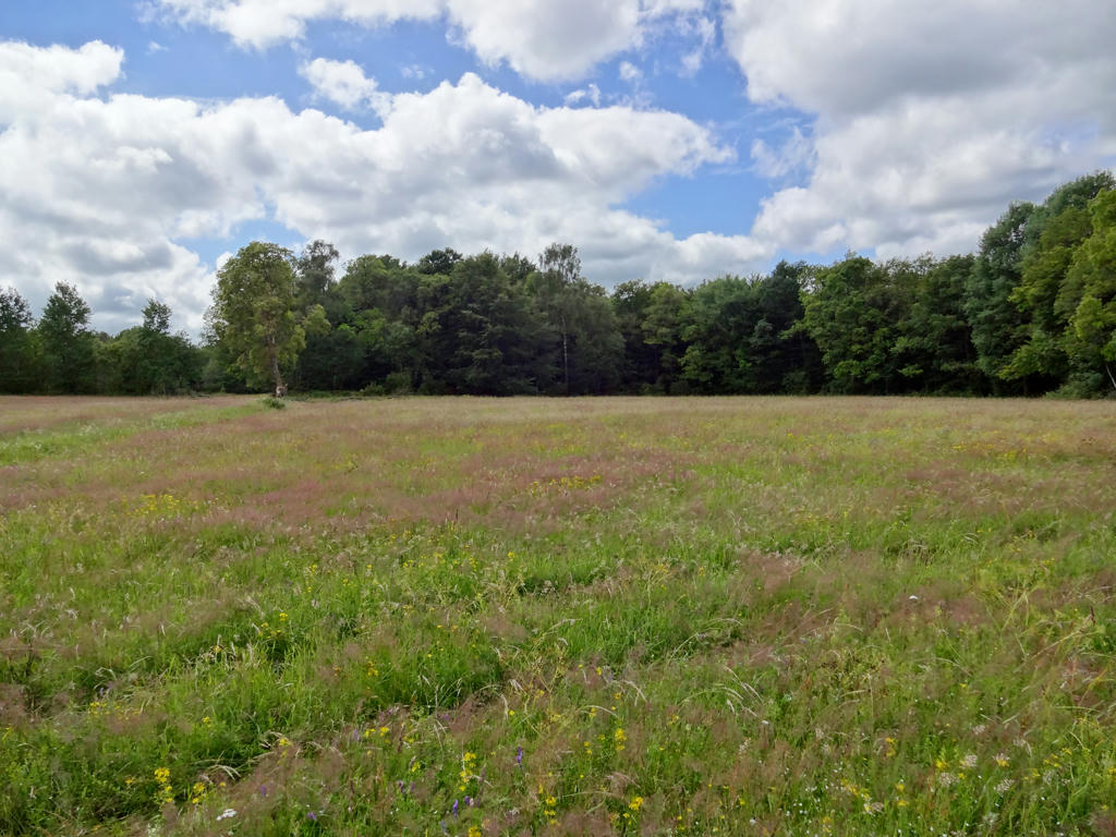
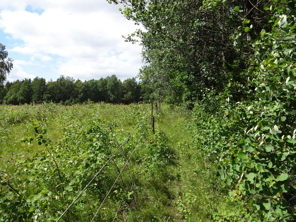
I found this meadow quite beautiful. It was a bit tricky photo to work with just like the other photos of the meadow but hopefully it is decent now. I used the levels tool and curves tool to increase the brightness of the grass and forest parts on the side. I also increased the contrast for the same part. For the forest part in the back I increased the contrast.
18.
Used the hue restorer plug-in to make the sky color more natural.
19.
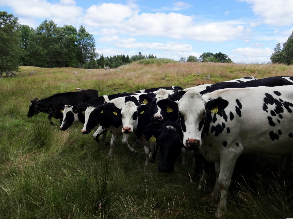
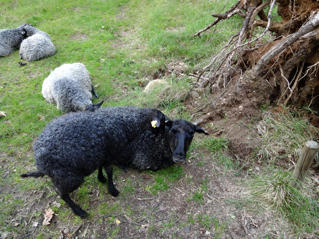
Sheep at Virsehatt nature reserve.
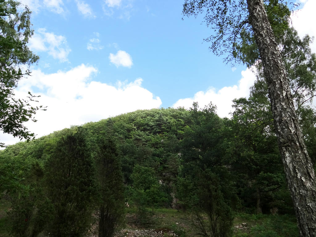
Virsehatt sticks up like a dome (see next photo) and is comitted as a nature reserve to preserve a broad-leaved deciduous forest (ädellövskog in Swedish) covered mountain along with the surrounding grazing land, farm land and deciduous forest.
The hillsides and verges are dominated by oak trees and the mountain crest is dominated by beeches. Trees such as birches, lindens and hazels can be found on the hillsides and during summers evenings one can smell the scent of honeysuckles. Herbs such as yellow stars of Bethlehem, herb paris and liverleafs also grow here. The lowland parts south and west of the mountain consist of grazing land with oaks, hazels and juniper bushes. The small river Sennan flows through the reserve. Along the water alder trees are growing and form a curtain along the river. Salmon and trout reproduce in the river and birds such as kingfishers, dipplers and grey wagtails find their food in the area.
Slightly increased the contrast.
20.
Virsehatt. First I modified the sky using hue restorer. Then I modified the non-sky part by first removing the blue cast using the curves tool, then increasing the brightness using the levels tool and finally increasing the contrast.
21.
Sennan. Rotated and cropped the photo.
22.
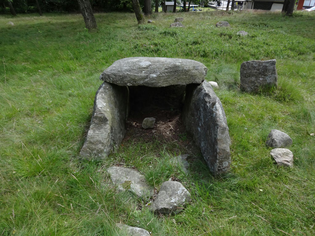
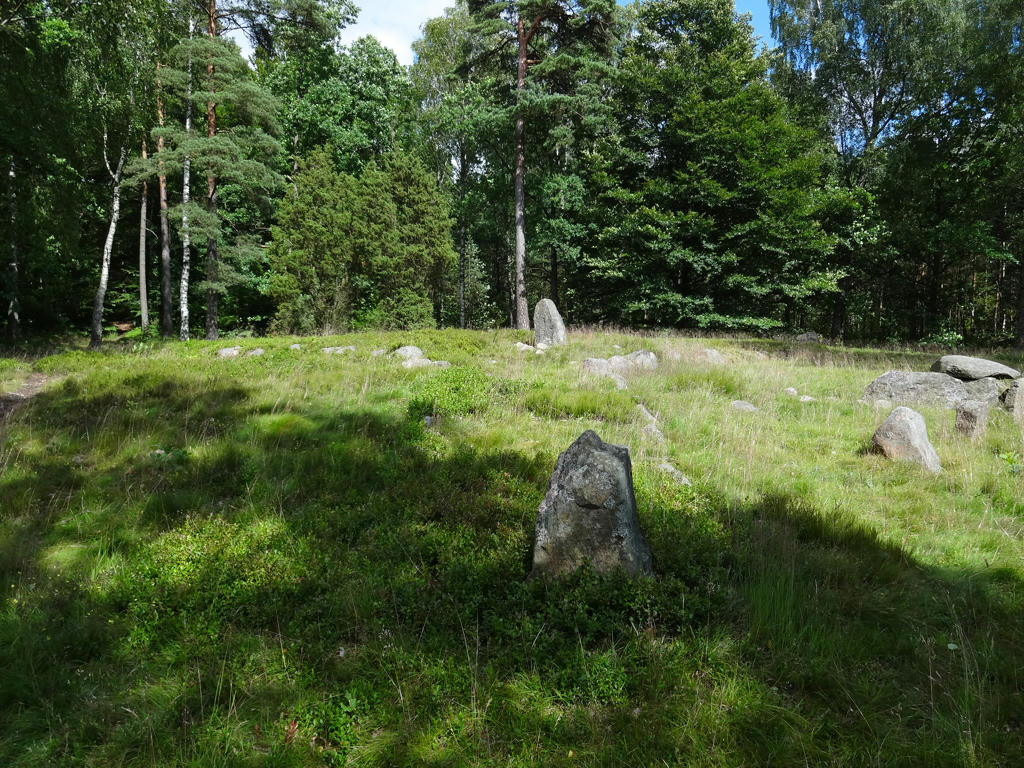
Vrenninge Iron Age graveyard.
"This site was used for no more than 400 years, but it includes samples of all the types of graves from the Iron Age, with stone settings, stone circles, standing stones, as well as an Iron Age dolmen and a tricon.
The size of the cemetery shows that it is what is known as a farm cemetery, where the members of an ancestral family found their final resting place."
23.
Used the Hue Restorer plugin to reduce the cyan-ness of the sky.

Inga kommentarer:
Skicka en kommentar