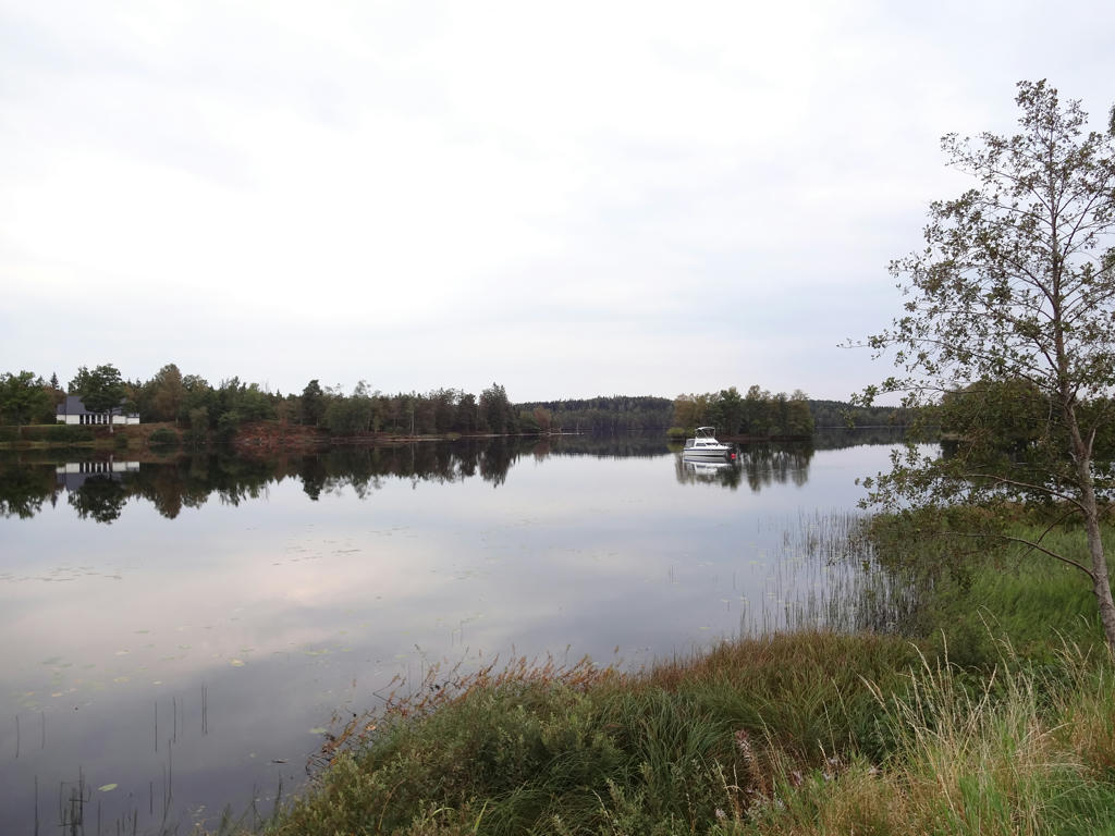
Already on Wednesday I started off Gislavedsleden and I started by going to somewhat familiar territory. I went to Varberg by train, then by bus to Ullared and then I took the same bus as I've taken to reach Ätran before but I instead went further to reach Fegen. Fegen is actually both the name of a town and of a large lake near the town which is partially in Västra Götaland, partially in Halland and partially in Småland (analogously, Ätran is both the name of a town and of a river). From Fegen I first walked the 5km+ part of Gislavedsleden which joins up with the rest of Gislavedsleden and then walked the part of Gislavedsleden going to the south until finally reaching Kollabo. From Kollabo I went to Kinnared (a distance of 3km) to reach a bus station. In Kinnared I took the bus to Halmstad and then I took the train in Halmstad. In total the walk was 27km and took 6h55min. Thus my average speed was approximately 3.90km/h.
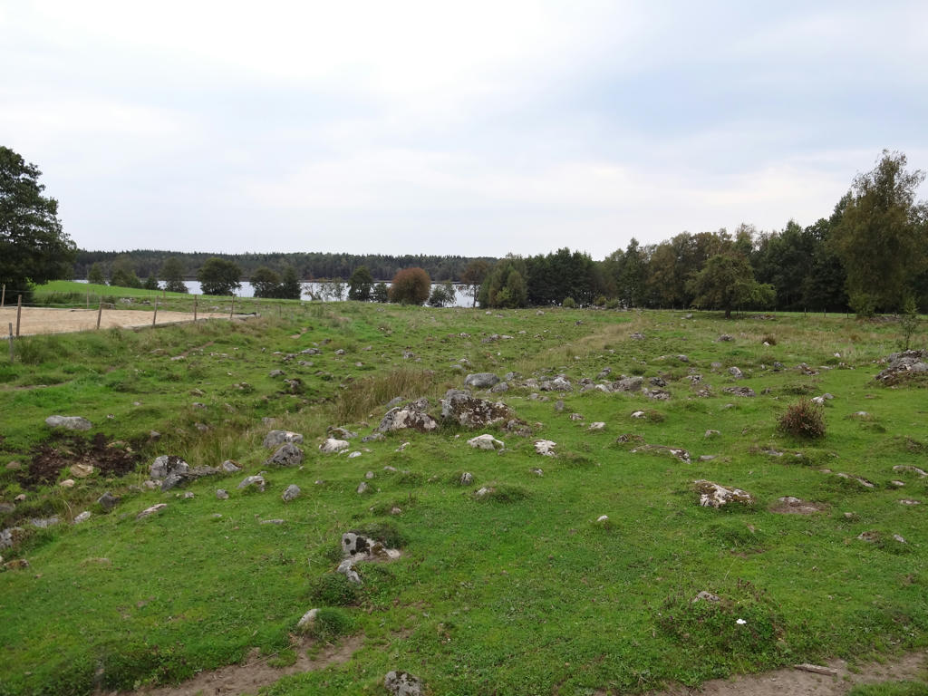
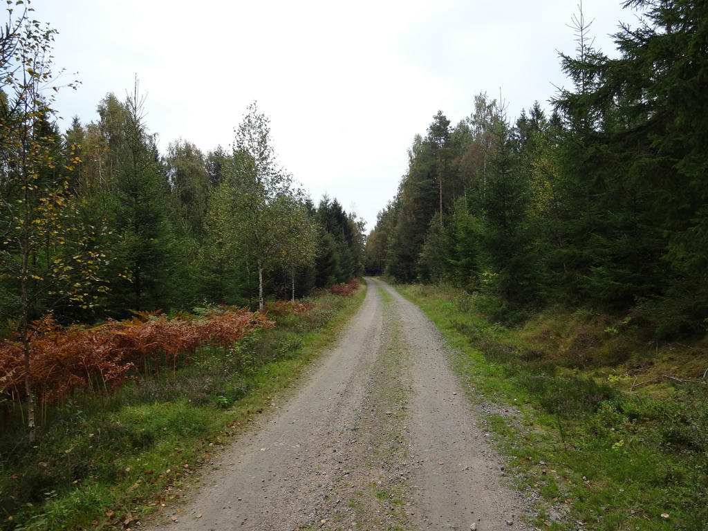
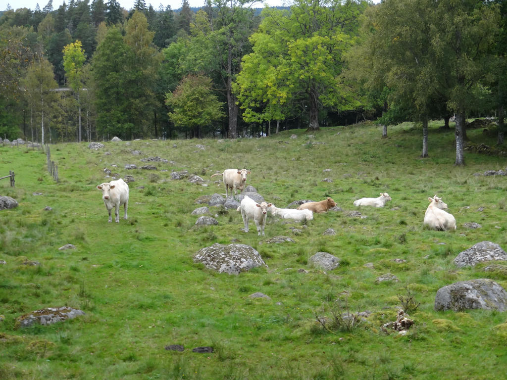
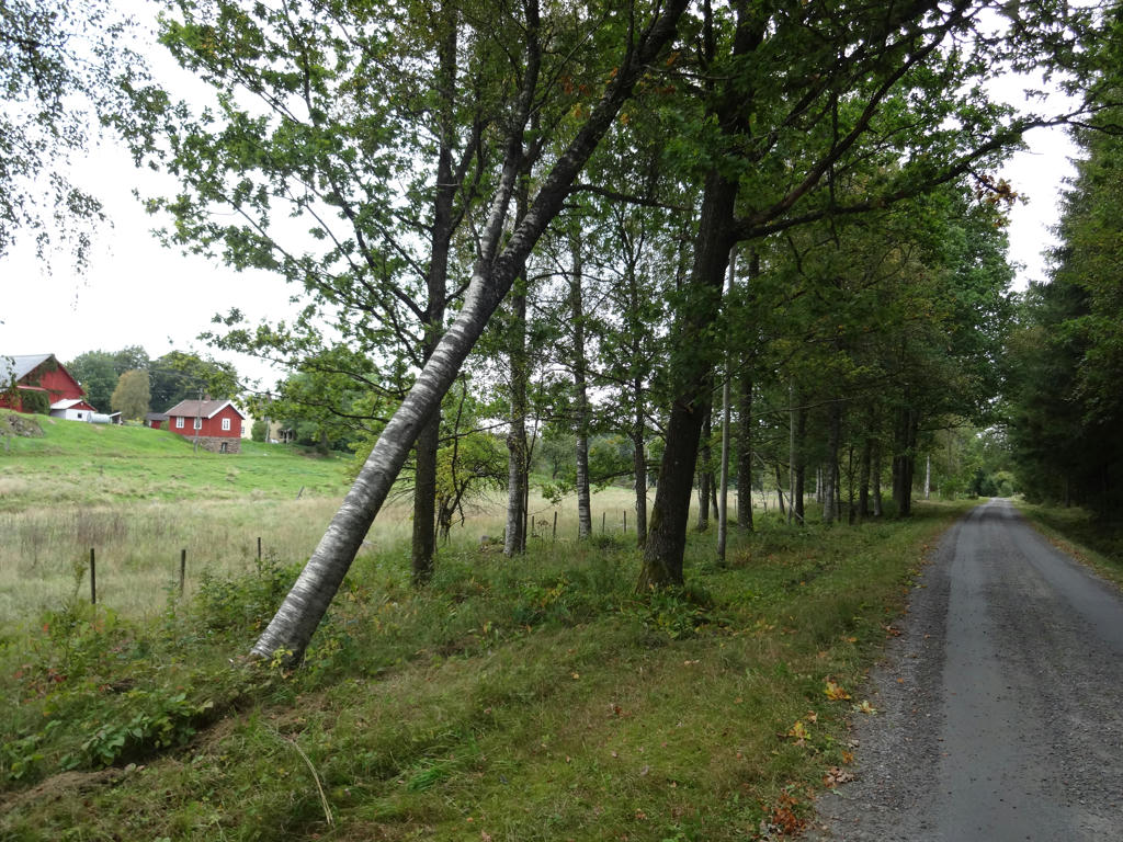
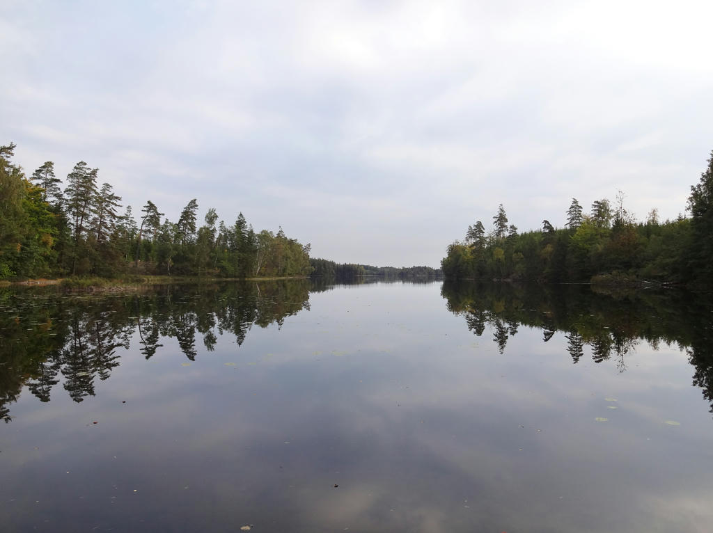
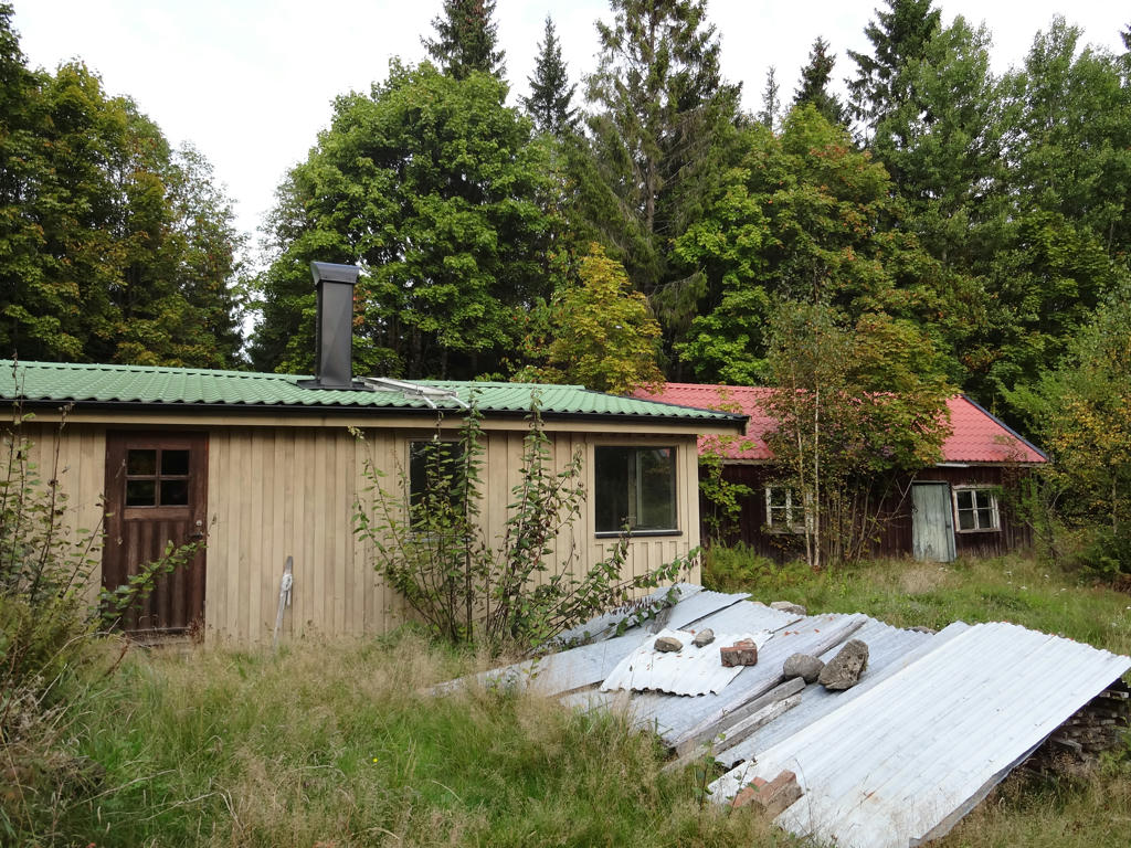
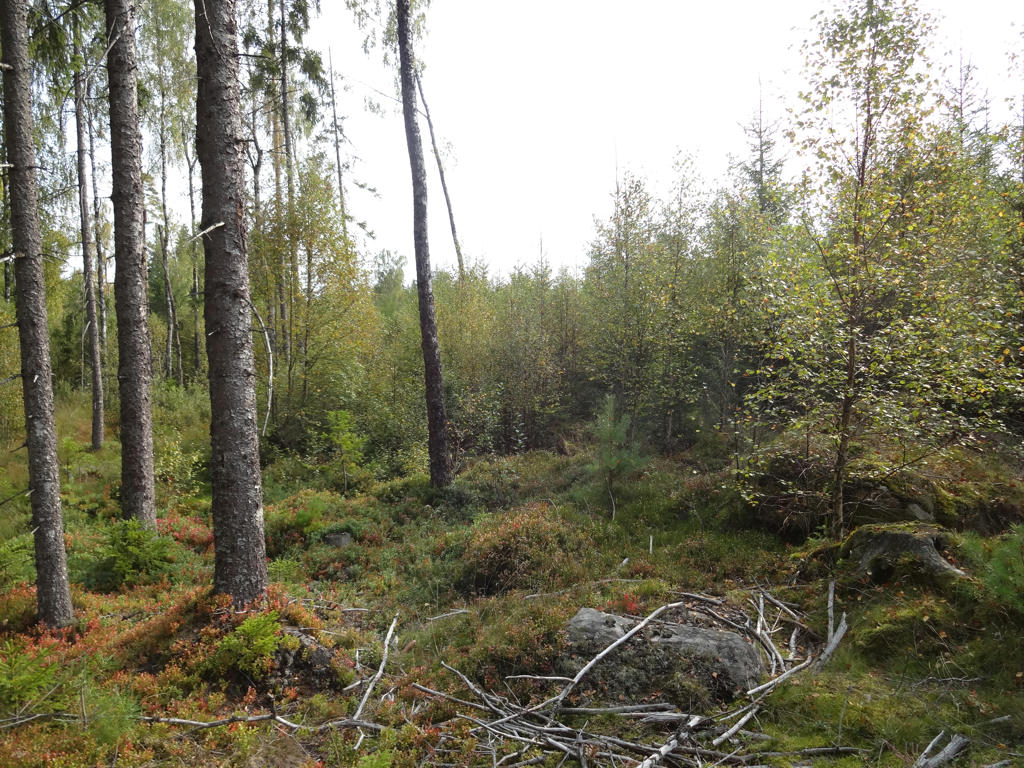
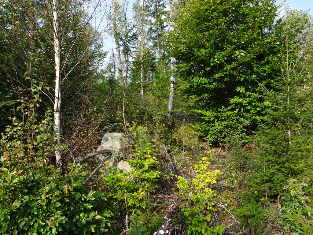
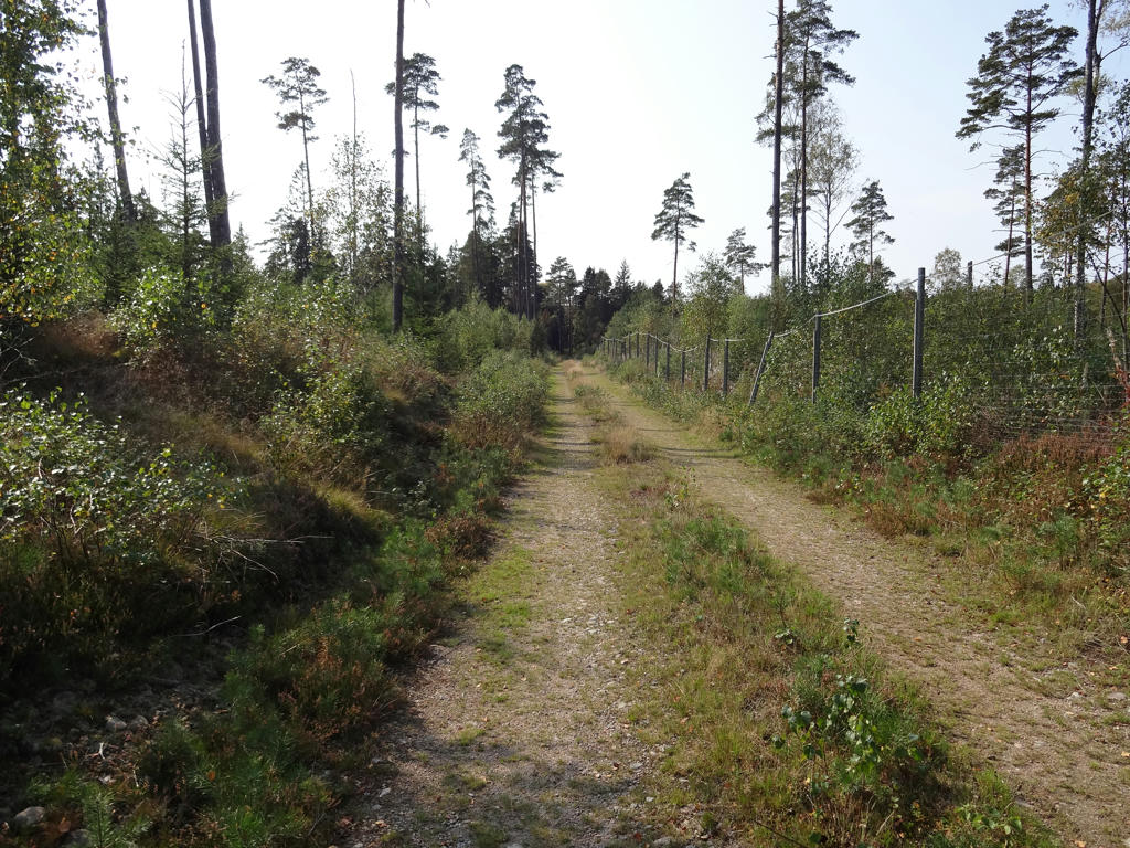
The walk went through the woods to a large extent but also through small scale farm land. Almost all of it went on gravel roads or tractor roads. The walk has a lot of similarities with Hallandsleden walk #13 between Ätran and Brännögården in terms of the general character (which makes sense since the walks go roughly in parallel) but also in the sense that parts of the trail is poorly maintained and in bad condition. For instance after passing road 153 there's a part which is overgrown and with signs in bad conditions or missing signs. Being attacked by many deer flies increased the frustration to the point where I was considering to give up this walk. But I decided to go around instead and thus continued onwards. The last part of the walk, which goes through Hylte municipality, is poorly marked (but at least it is stated that this is the case in the description for this part of the walk). Other than the annoying parts it was a quite interesting walk and it felt nice to join back with Hallandsleden. Back when I did Hallandsleden walk #13 I saw the sign for Gislavedsleden in Kollabo but I had no idea I would end up actually walking Gislavedsleden (my focus back then was on Hallandsleden and I didn't know anything about Gislavedsleden). Either way, without further ado I present some of the photos from the walk. Enjoy!
1.
Fegen
2.
Rotated and cropped the photo. Then I brightened the non-sky parts slightly using the levels tool.
3.
Rotated and cropped the photo.
4.
5.
6.
7.
8.
9.
Hurven. Brightened the non-sky parts using the levels tool. Then I rotated the photo slightly and cropped it.
10.
11.
Shortly after passing road 153 the part is the trail is poorly maintained and poorly marked or not marked at all. I probably went around here for at least 10 minutes trying to find where to go and at the same I was attacked by countless deer flies, which was very frustrating. I was actually in the mood for giving up the walk (going back to Fegen) but instead I decided to go around. I went along road 153 and turned right onto a gravel road. I walked on the gravel road and joined back to the point where I was actually supposed to go (shown in the next photo).
12.
This is where the actual path joins back. Clearly it is overgrown and hard to access even from this side. Used the hue restorer plug-in to get rid of the cyan-ish sky.
13.
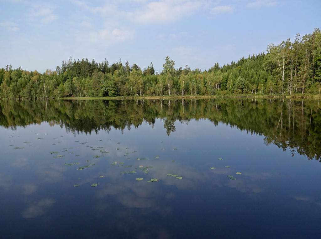
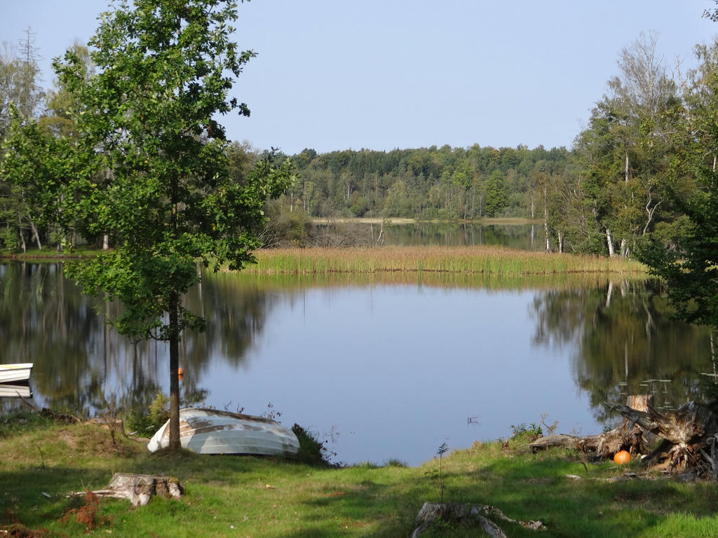
L. Garsjön. Rotated the photo slightly and cropped it. Then I increased the brightness and contrast using the brightness-contrast tool. Finally I sharpened the photo slightly using unsharp mask.
14.
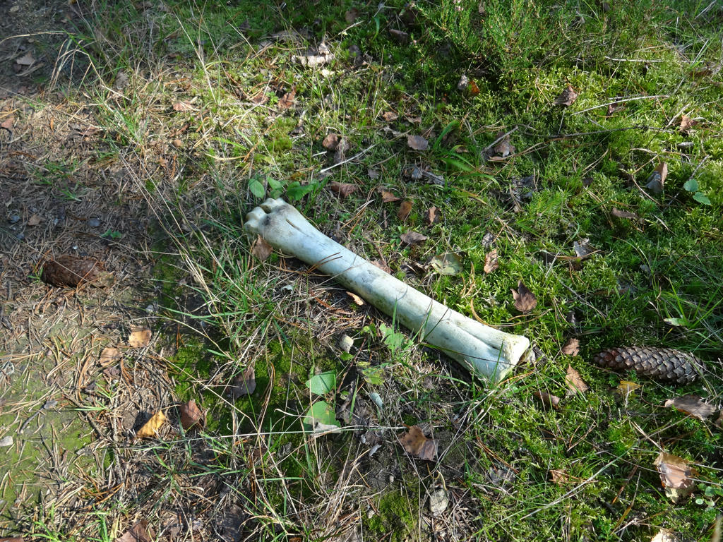
I suppose this could be a moose bone.
15.
Siggasjön. Rotated the photo slightly and then cropped it. I also increased the brightness and contrast for the non-sky parts using the brightness-contrast tool.
16.
Rotated and cropped the photo.
17.
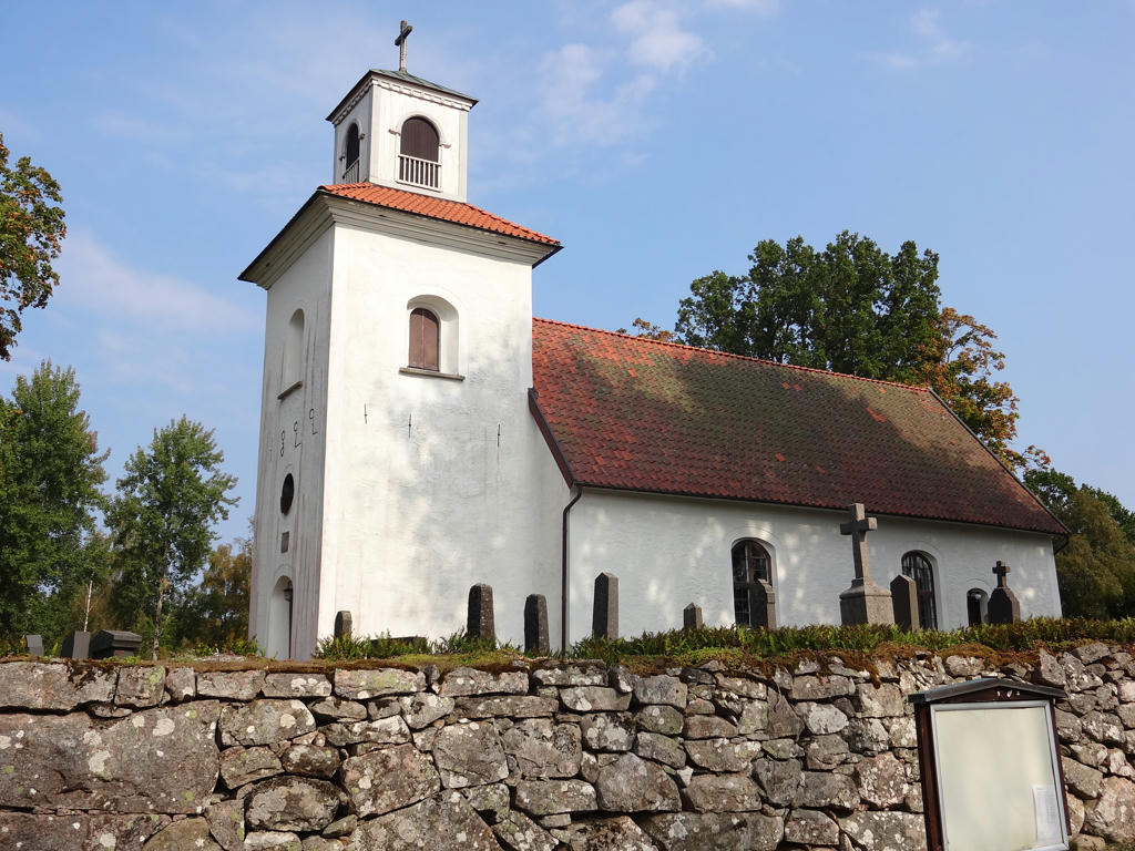
Gryteryd church
18.
19.
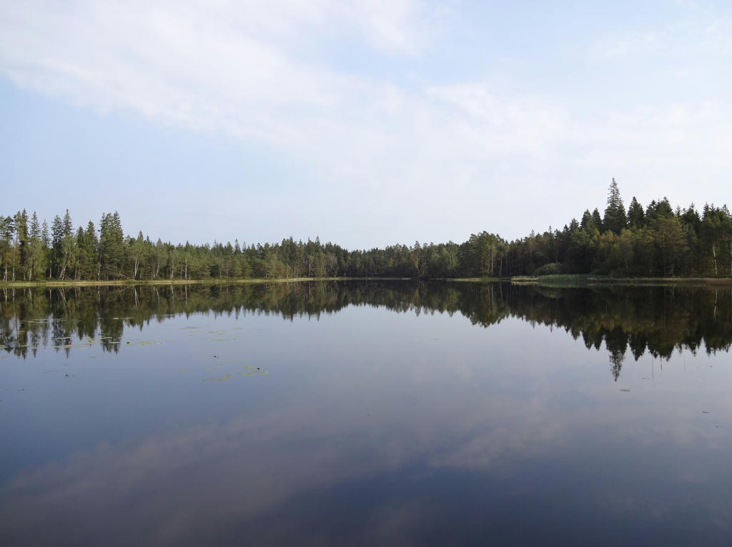
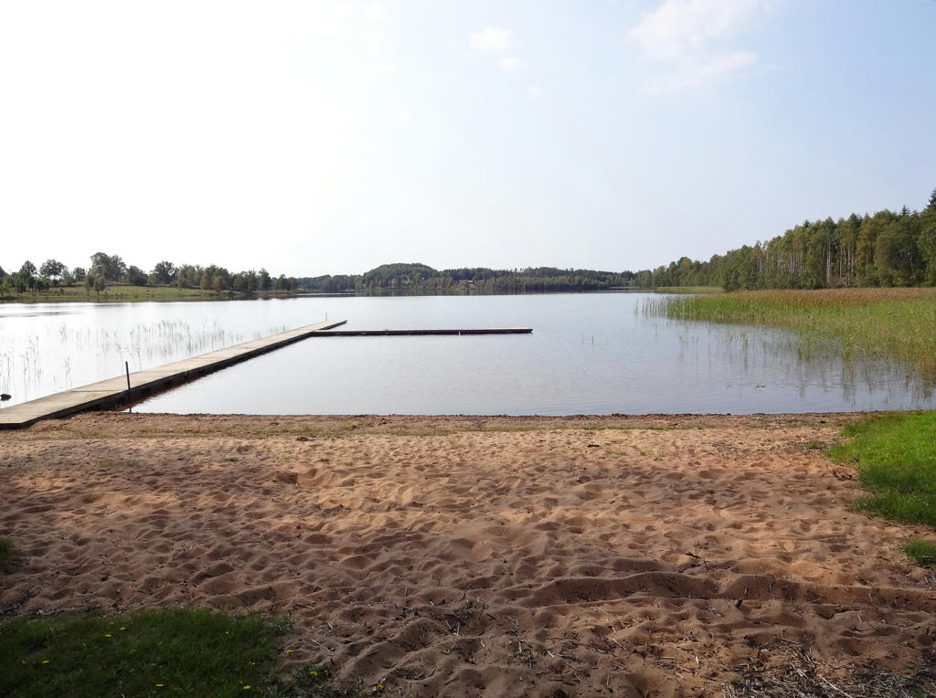
Hensjön. Rotated and cropped the photo. I also slightly increased the contrast for the non-sky parts.
20.
21.
Hensjön
22.
23.
24.
25.
Used the hue restorer plug-in to get rid of the cyan-ish sky.
26.
27.
28.
Västerån
29.
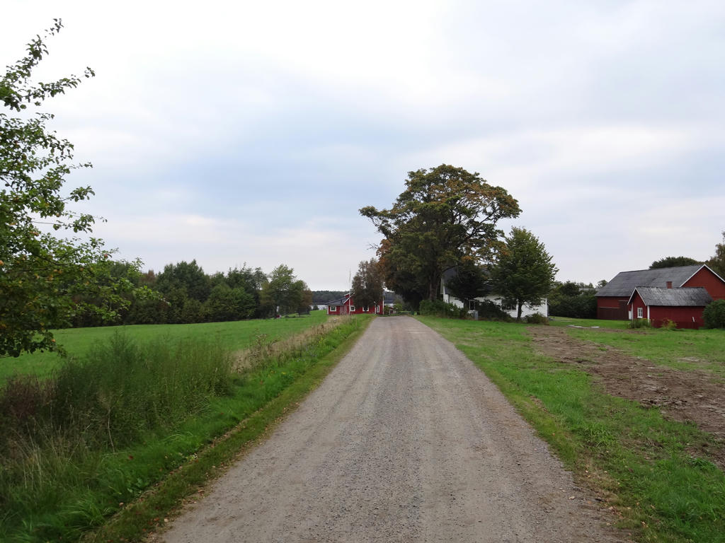
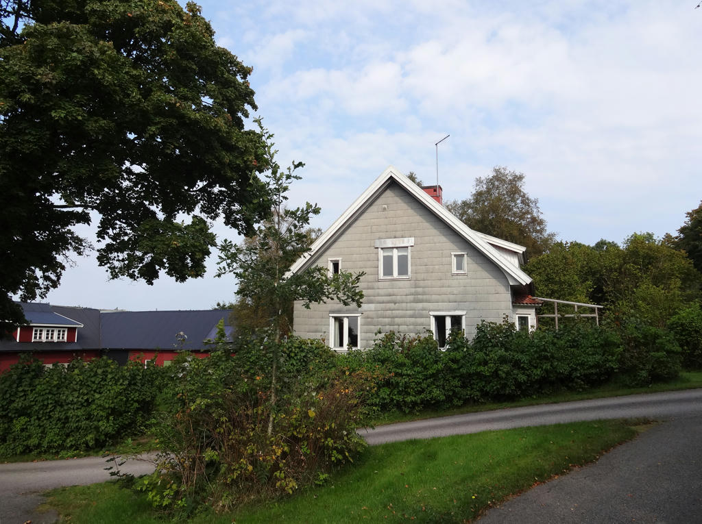
In Kollabo (where Gislavedsleden begins). Rotated the photo slightly and then cropped it. I also brightened the non-sky parts slightly using the levels tool.
30.
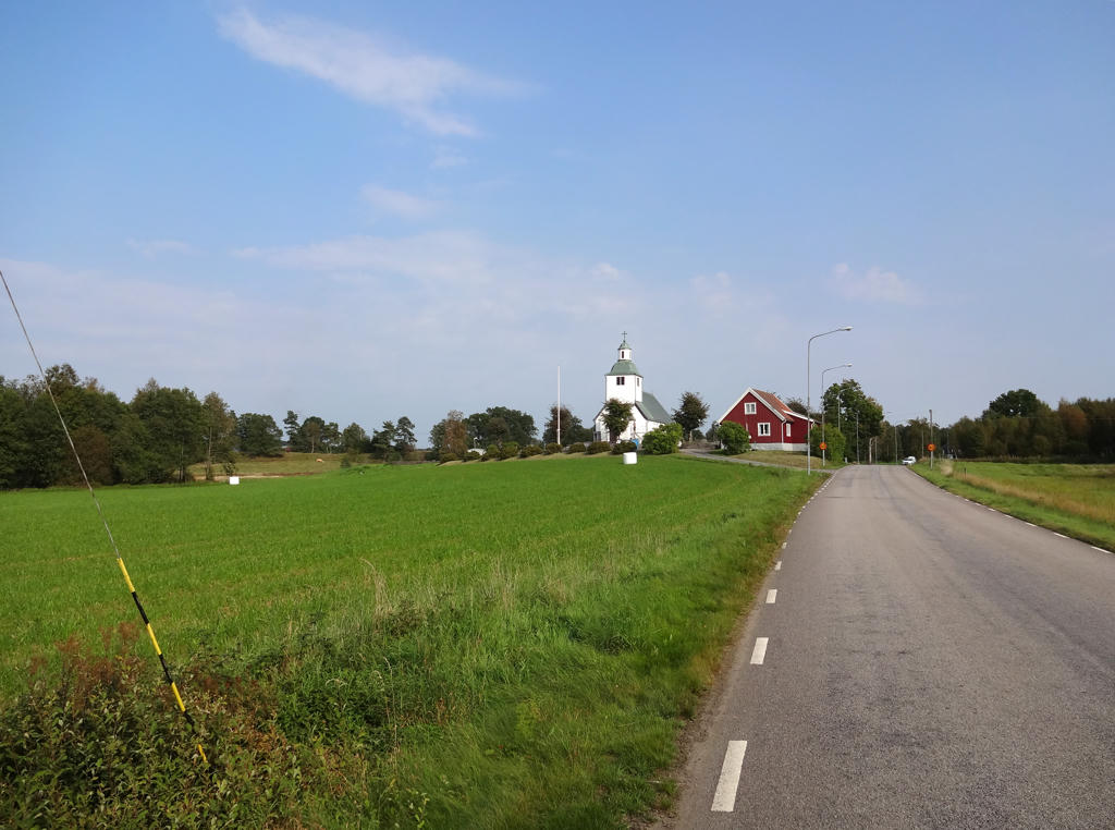
Kinnareds church. Rotated and cropped the photo. Then I increased the brightness using the levels tool.
31.
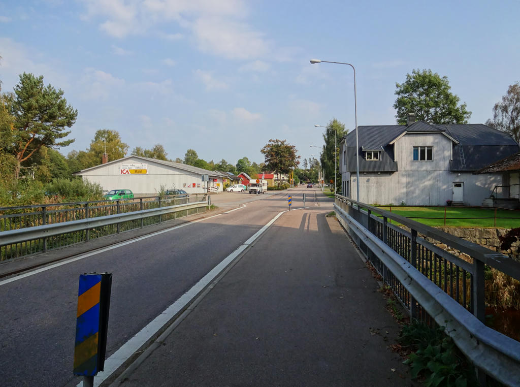
In Kinnared. Rotated and cropped the photo. Also increased the contrast using the curves tool.
Inga kommentarer:
Skicka en kommentar