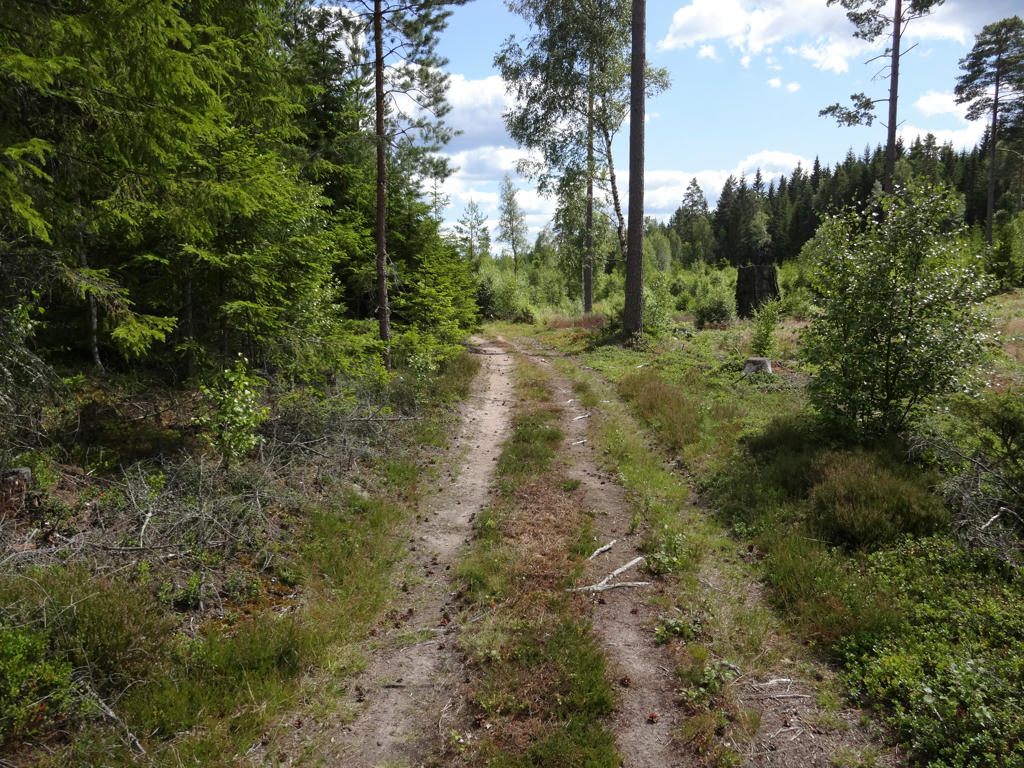
The walk can be divided into three parts. To reach the start/end of Höglandsleden near the lake Västra Lägern I first walked 2km of Anebyleden. Then I walked 1km of the Höglandsleden trail to reach the location where there is a division between Östgötaleden and Höglandsleden (this is where Östgötaleden starts/ends). I then walked approximately 26.9km of Höglandsleden to reach Eksjö where I had started Höglandsleden Walk #1 between Eksjö and Nässjö (thus I ended the Höglandsleden walks at the same place I had begun them). Thus in total the walk was approximately 29.9km long. The total duration for the walk was 7h30min, which means that my average speed was approximately 3.99km/h. I walked slower in the beginning but near the end I sped up my walking as I was trying to make it on time for a specific bus. However, I was 39mins early for that bus, so obviously I didn't actually need to hurry as much as I ended up doing. Either way, the walk went to a large extent on tractor or gravel roads rather than on footpaths.
The travel back was also somewhat complicated. I first took the bus from Eksjö to Nässjö. In Nässjö I was supposed to wait almost 1h for the train to Falköping. However, for some reason the timetable didn't show that this train was coming when expected. What I did then was to take an earlier train that went only to Jönköping and wait there. Strangely enough the timetable in Jönköping did show that the train I was supposed to take from Nässjö to Falköping was coming according to the expected/regular schedule. And so I waited in Jönköping and took the train to Falköping. Then in Falköping I took the train to Göteborg. The total duration for the travel back was 5h3mins.
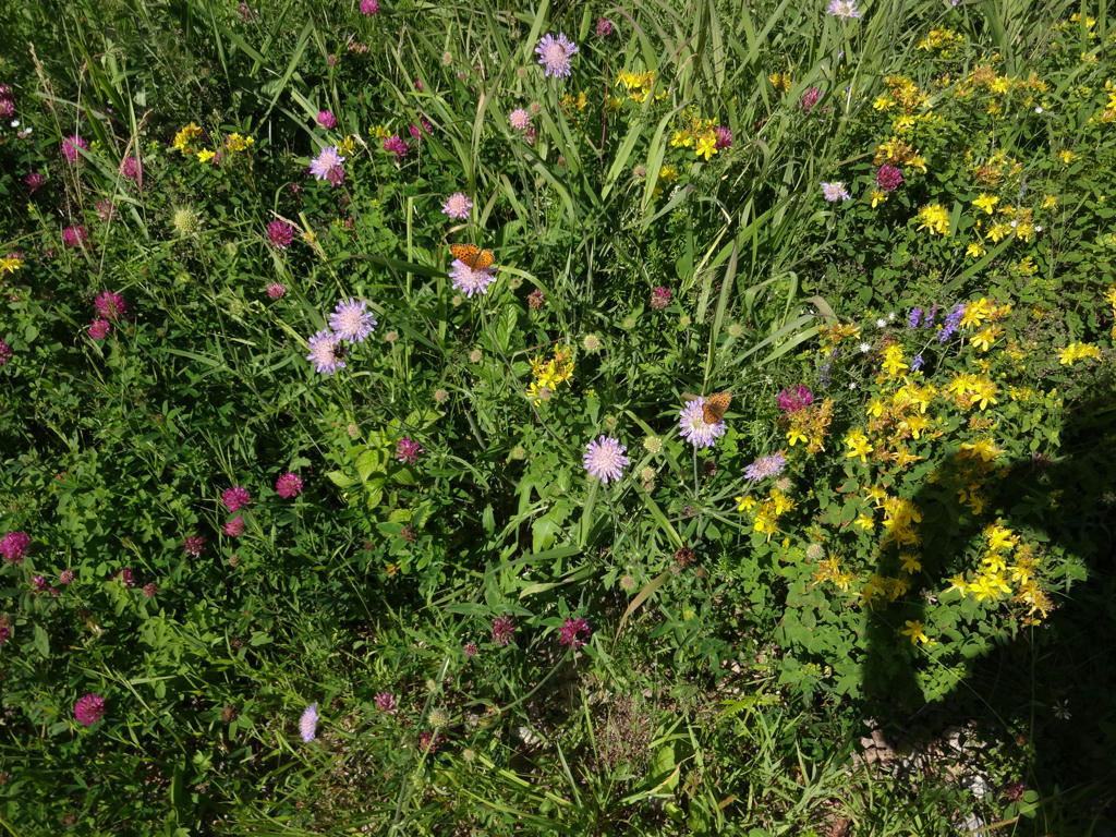
This walk might be among my top 4 Höglandsleden walks. However, similarly to Höglandsleden Walk #1 between Eksjö and Nässjö there are some interesting parts going through beautiful terrains but the rest is not very interesting. In this case the interesting parts of the walk are between Måletorpet and Försjön (the first 14km of the walk) and between Hunsnäsen and the bus stop in Eksjö (last 3km of the walk). The remaining part, i.e. between Försjön and Hunsnäsen, is not as interesting. As it happened the weather was also the cloudiest during this part of the walk. Other than that the weather was pretty nice, it was somewhat cloudy but it was also sunny and quite warm.
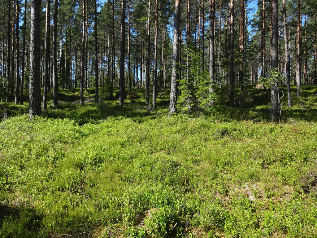
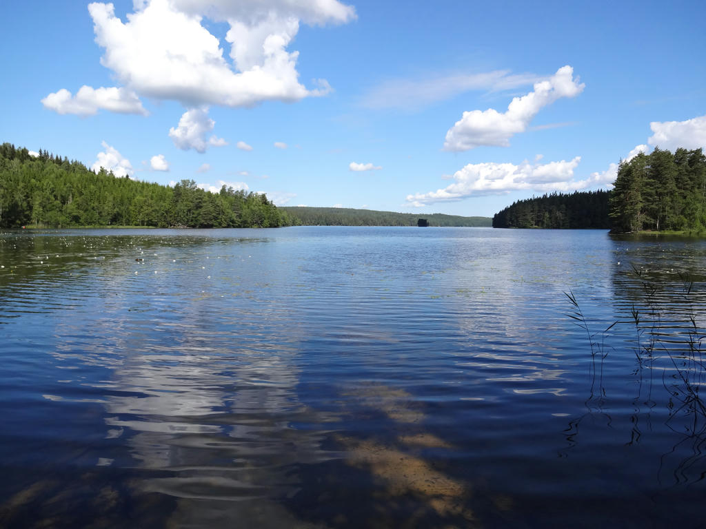
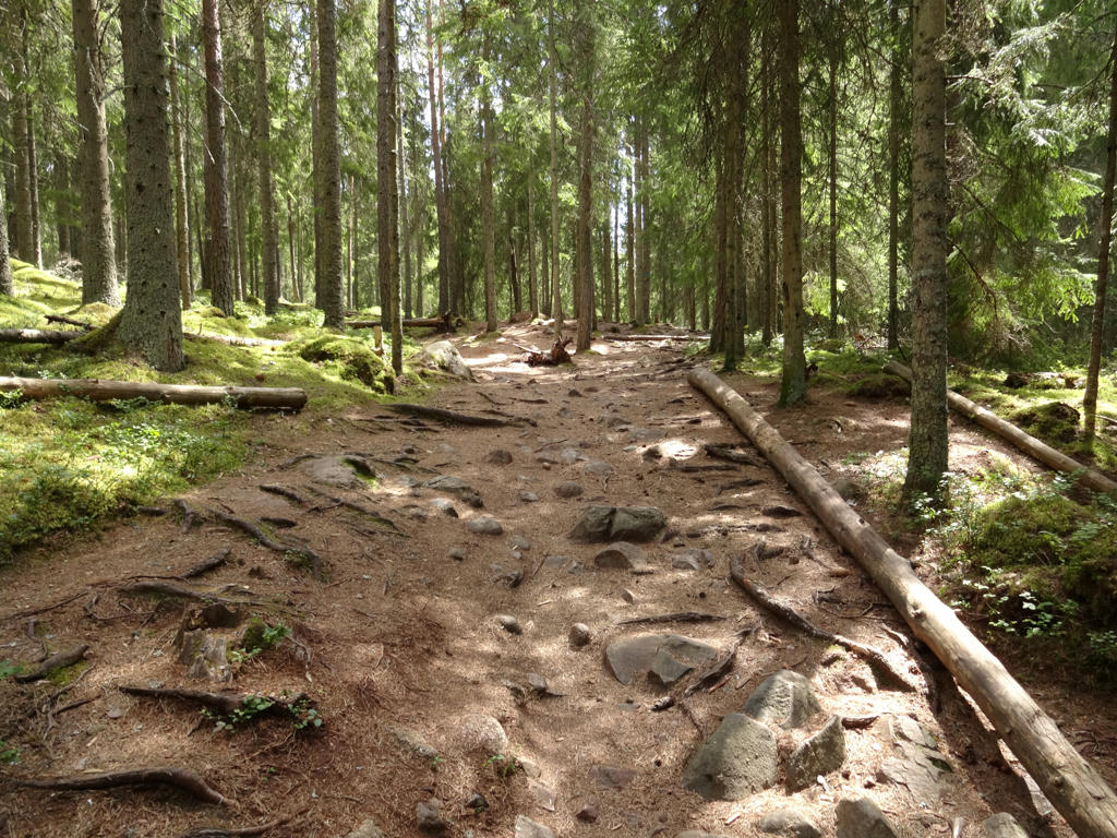
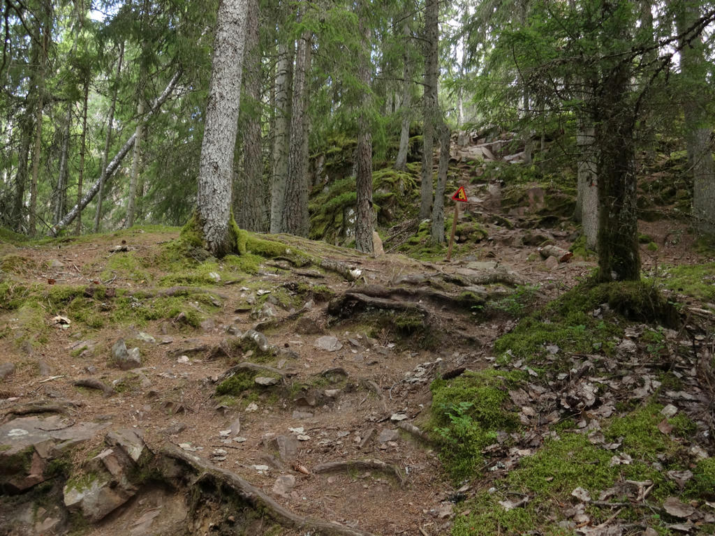
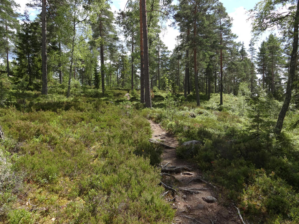
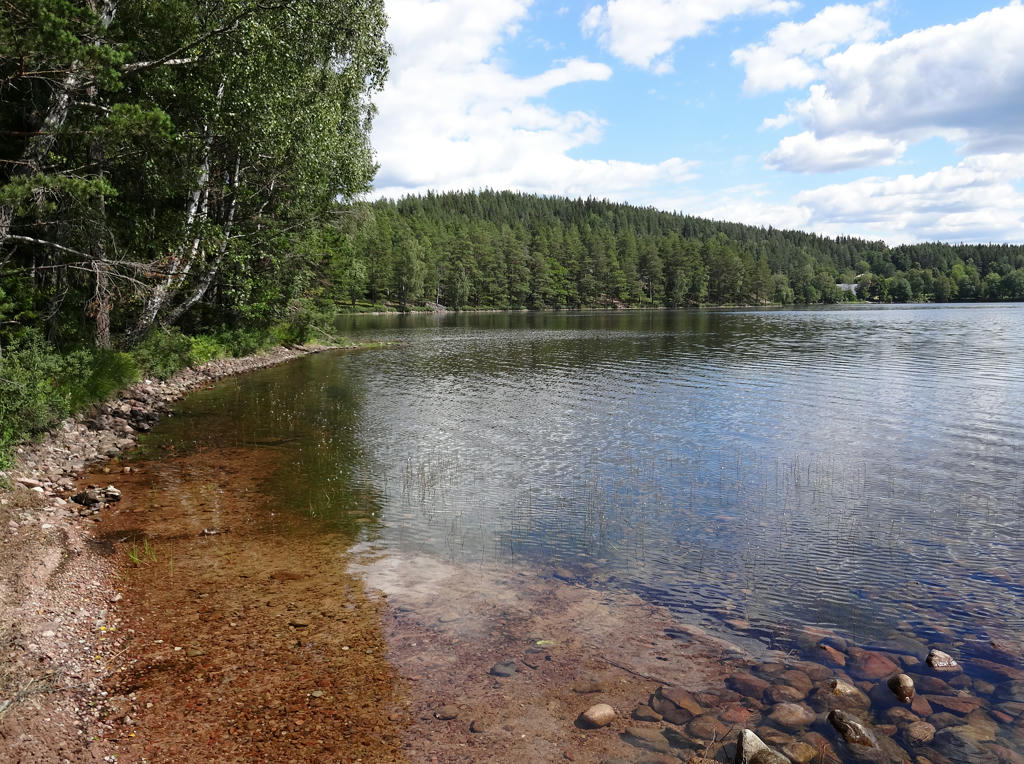
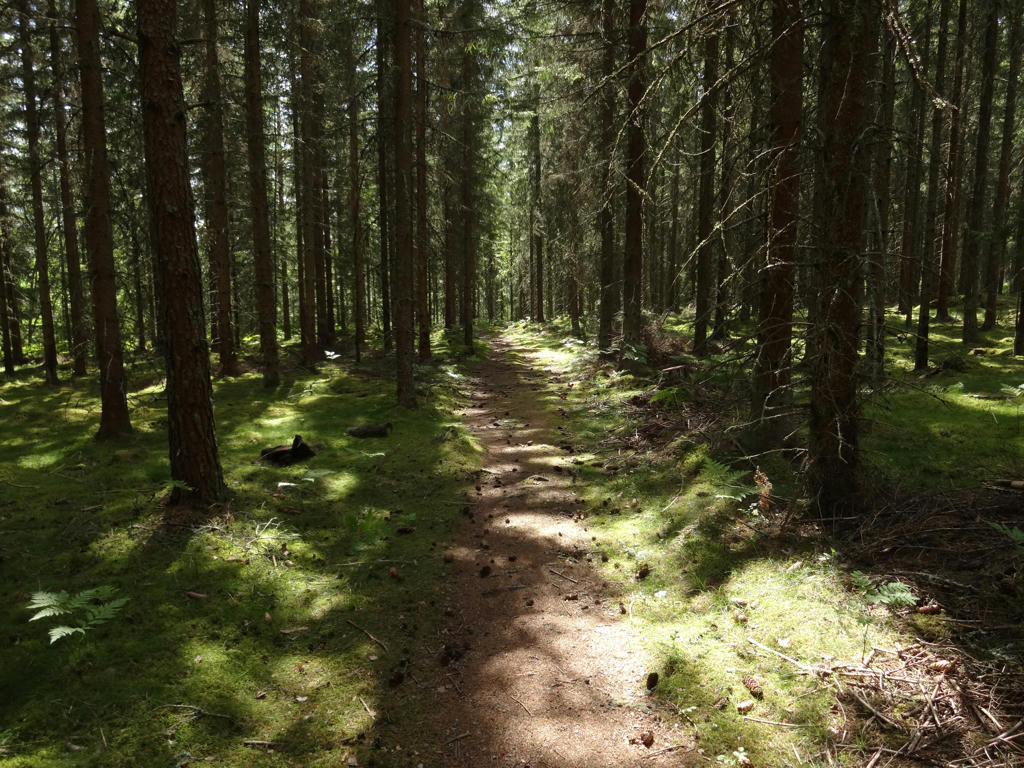
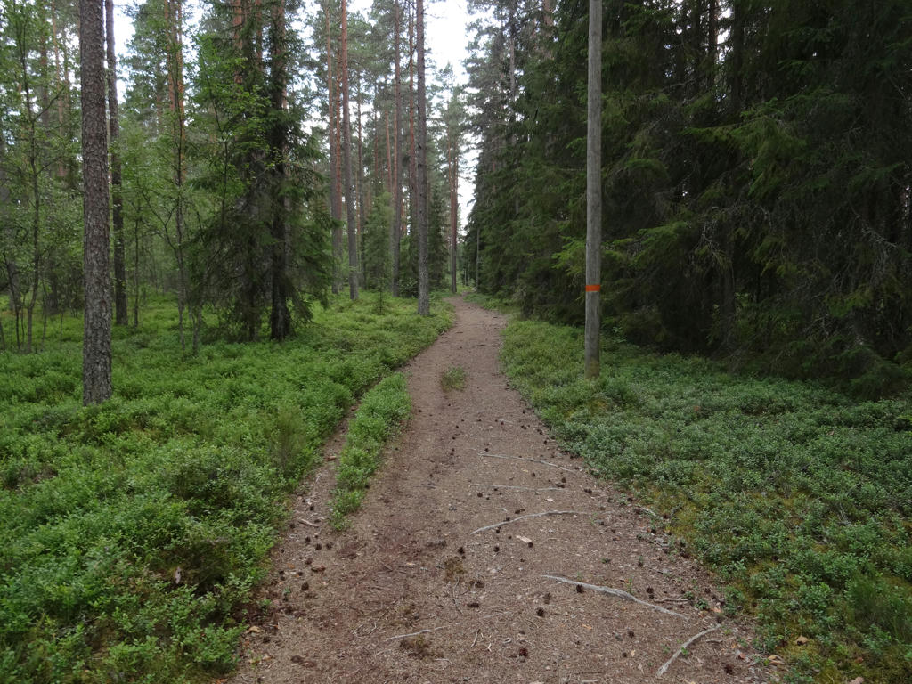
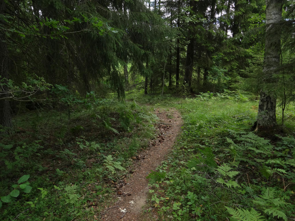
In any case, the trail goes mostly through coniferous forests but there is also some small scale farm land and meadows on the path. There are also several lakes on the path, including Västra Lägern, Stensjön, Försjön, Gåren and Hunsnäsen. A very interesting highlight of this walk was Skurugata nature reserve, which is quite unique as described below. Except for the Skurugata mountain formation the nature reserve also contains the Skuruhatt gazebo. Going through a part of Eksjö was another highlight of this walk. As I've noted already during Höglandsleden Walk #1 between Eksjö and Nässjö, the town has some really interesting parts in it with nice aesthetically pleasing architecture (unlike most modern architecture, which is trash for the most part).
Enjoy the photos!
1.
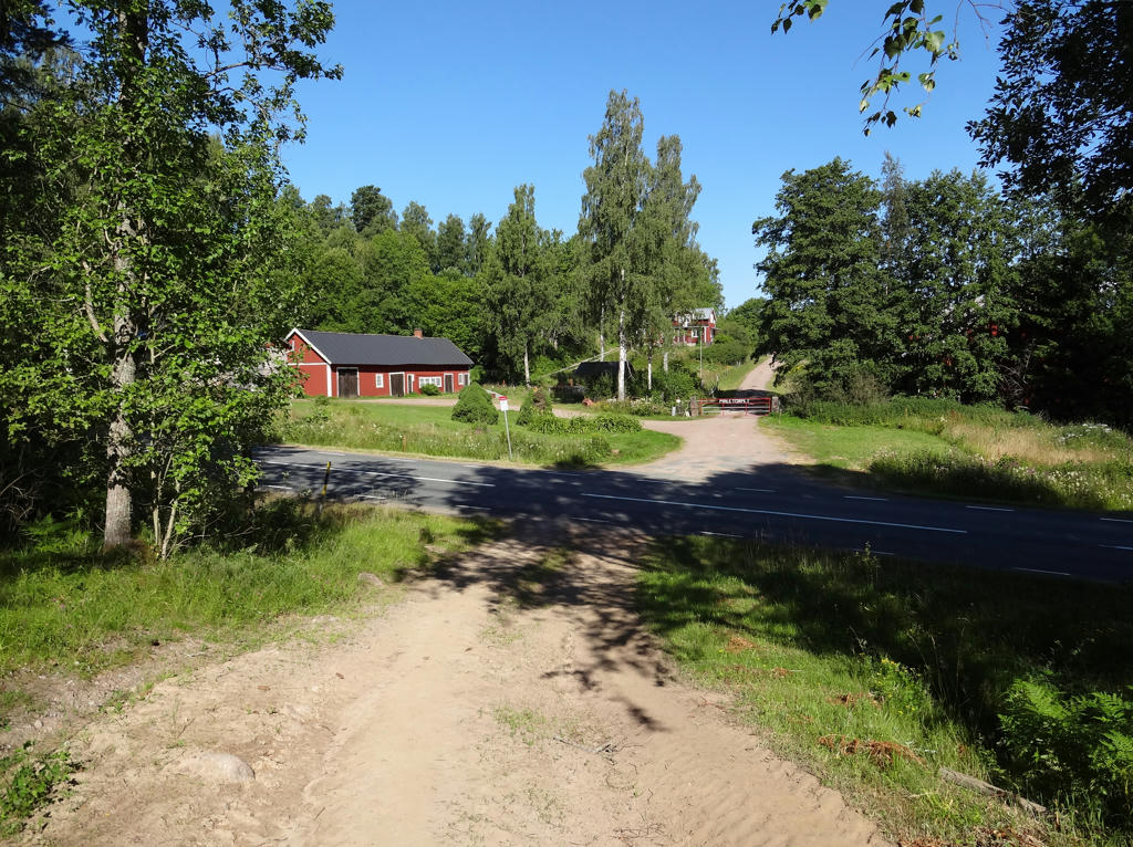
Måletorpet. Rotated the photo slightly and cropped it.
2.
Decreased the contrast slightly using the brightness-contrast tool.
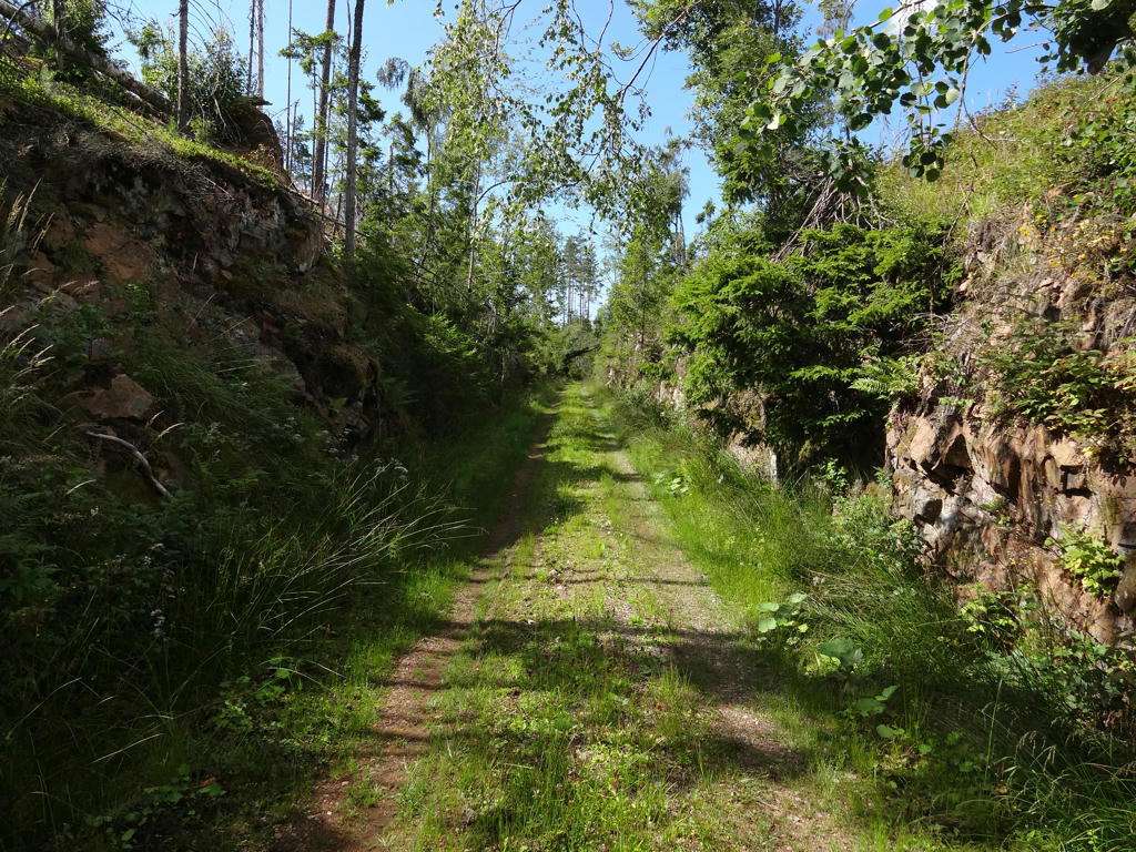
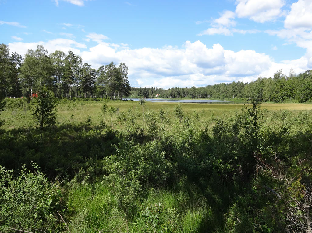
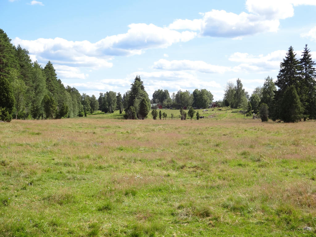
3.
Västra Lägern. Used the brightness-contrast tool to slightly increase the brightness and slightly increase the contrast. Also used the levels tool to brighten the photo slightly. Finally I used the hue restorer plug-in to reduce the cyan-ish sky color.
4.
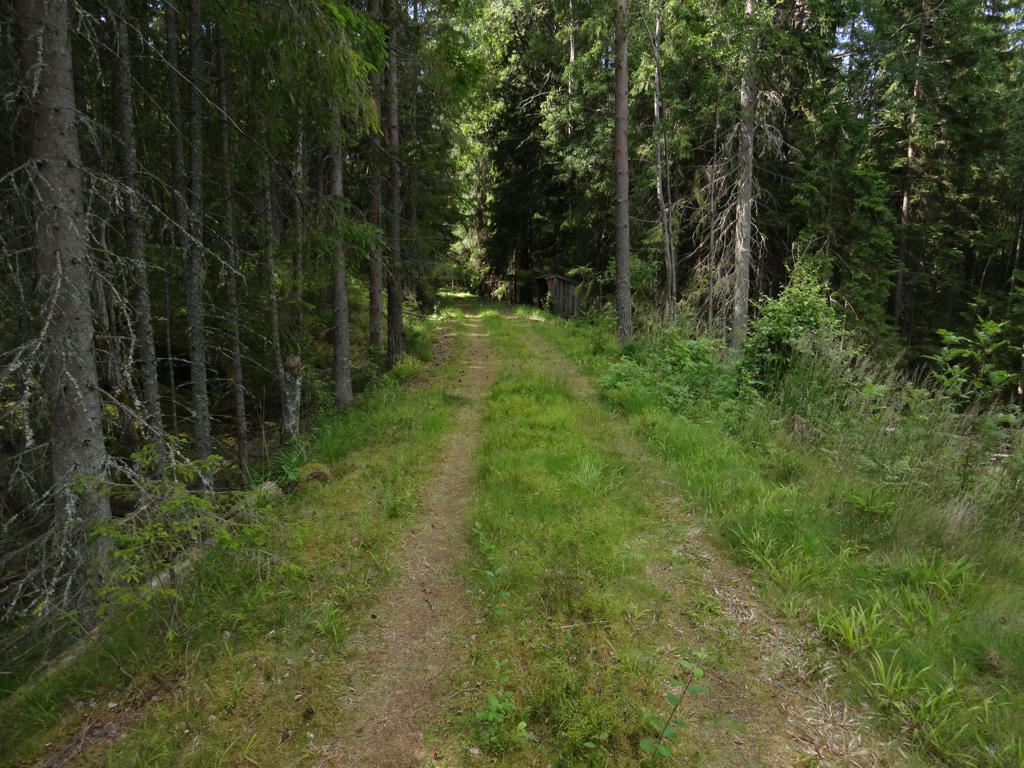
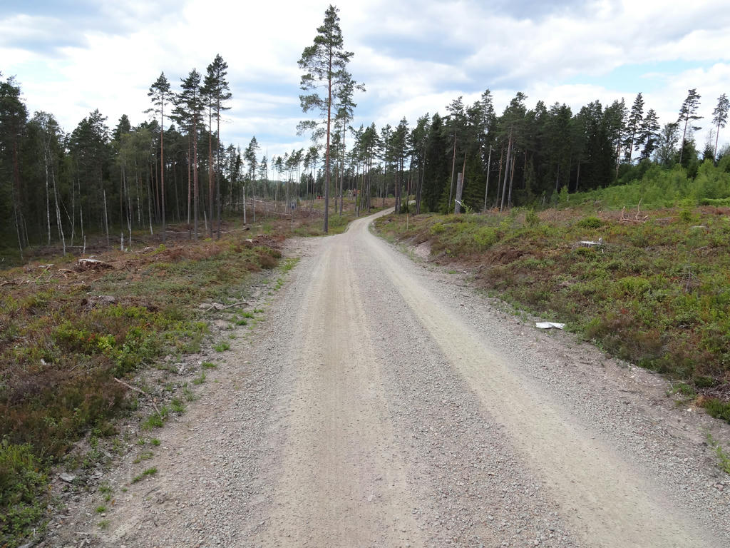
5.
I think I read somewhere that there used be a railway on this road.
6.
7.
Narebogölen. Darkened the sky using the levels and curves tool. Also increased the contrast slightly for the non-sky parts using the brightness-contrast tool.
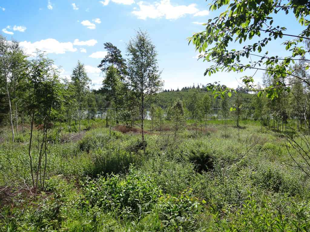
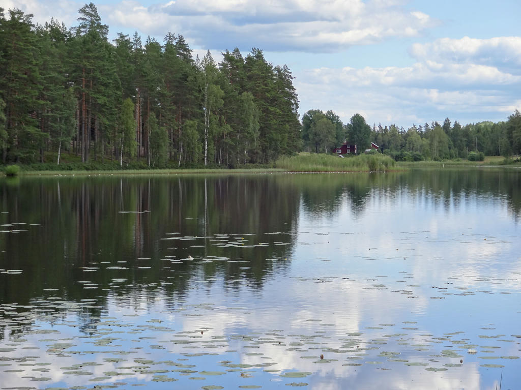
8.
9.
Stensjön. Rotated the photo slightly and cropped it. Also used the hue restorer plug-in to remove the cyan-ish sky color.
10.
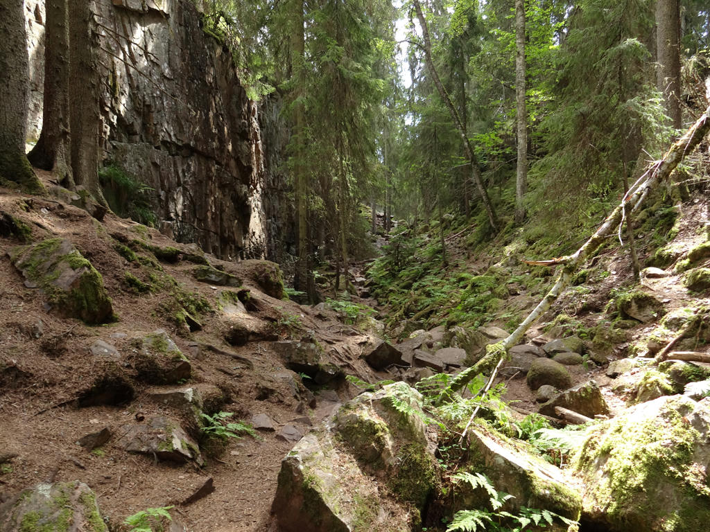
Skurugata nature reserve
"Skurugata has been described as the strangest natural phenomenon in southern Sweden. No one knows for sure how this remarkable cleft in the rock was created. The mystery surrounding the site has given rise to stories of trolls and thieves who ran riot between the cliff walls. A walk through the cleft is a memorable experience that is highly recommended.
Thiry-five metres deep
Skurugata consists of an 800-metre-long cleft in the rock that is between 7 metres and 24 metres wide. The vertical rock walls are up to 35 metres high in places. Clefts of this type are known as gorges and several others exist in eastern Småland, although Skurugata is the largest of them all.
A glacial river through the rock
There are many theories about how Skurugata was created. The most likely explanation is that the gorge was formed by a glacial river when the ice sheet melted. Others believe that the gorge is a crack in the bedrock or a fault trough. The bedrock is mainly porphyry.
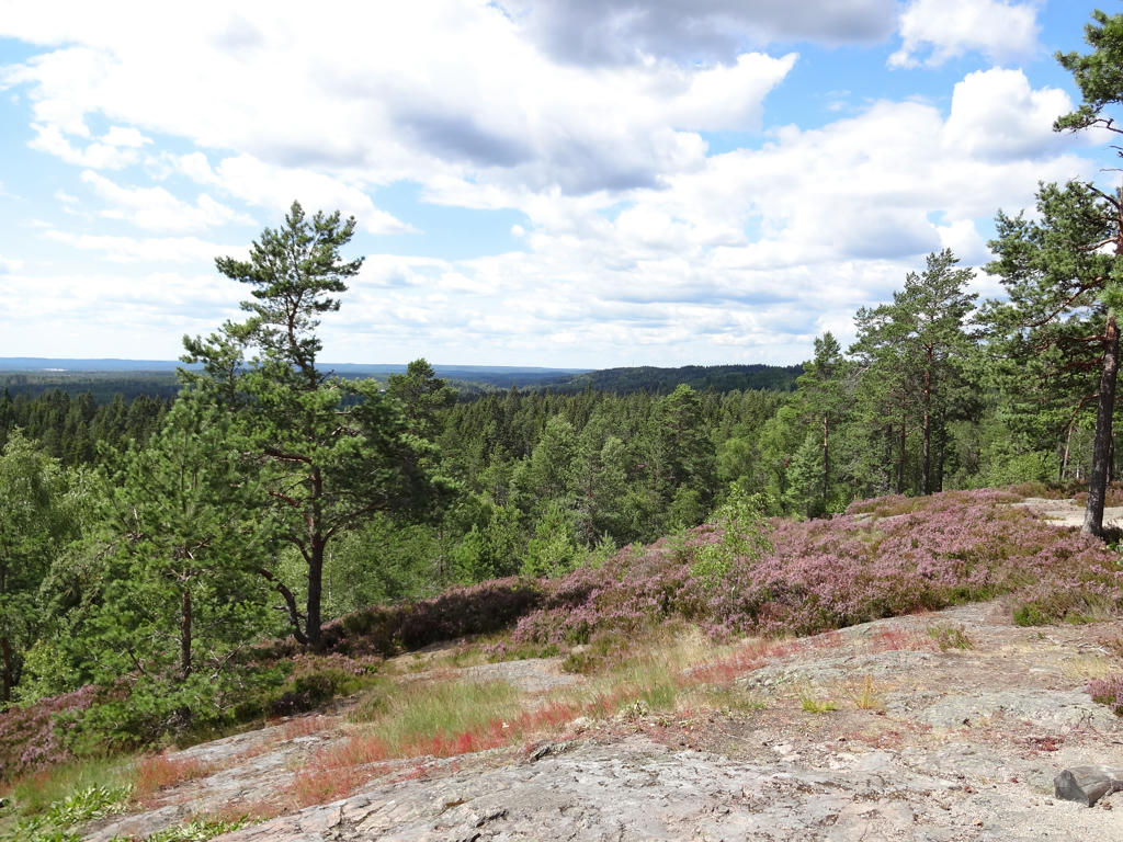
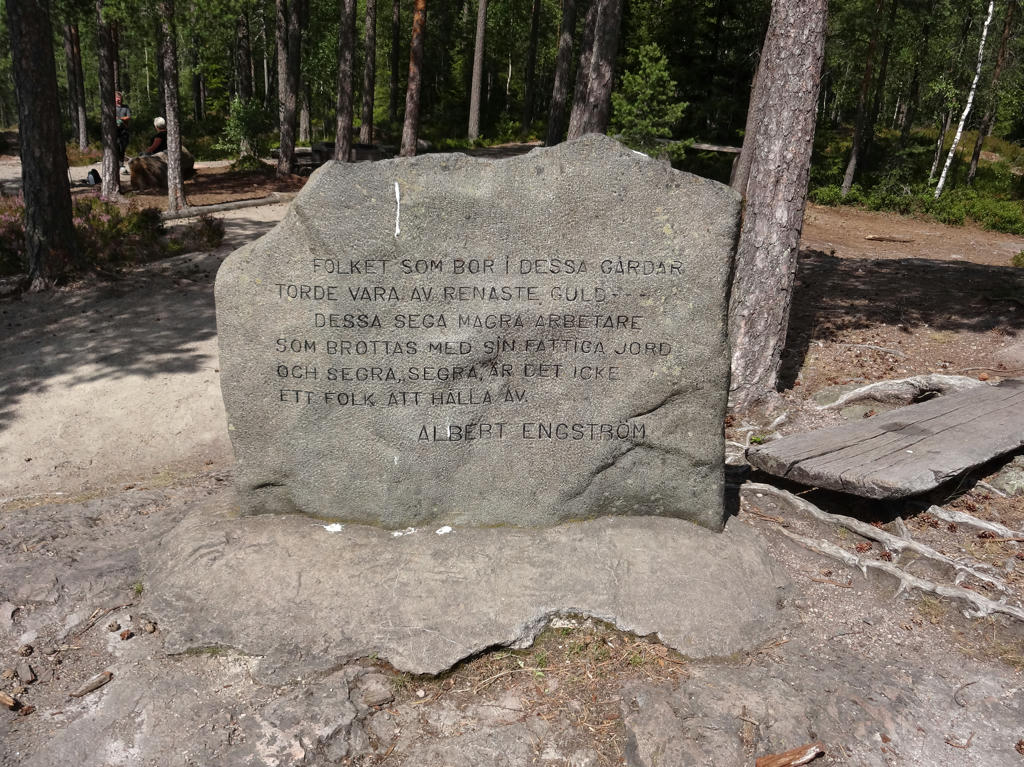
Skuruhatt
There is a lookout point in the reserve called Skuruhatt, which at 337 metres above the sea level is one of the highest points in Småland. A memorial stone has also been placed here for the author Albert Engström, who played in Skurugata as a child. He wrote about the Småland landscape in many of his books.
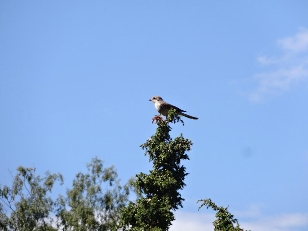
Mosses and forest birds
There is high humidity in the cleft creating a favourable environment for many moss species, both common and rare. The reserve also has interesting bird life. Crested tit and ravens are common birds. If you are lucky you can encounter the great forest bird species capercaillie. In addition to the common mammalian species there are also ermine and marten in the area.
Explore the reserve
Stout shoes and durable clothing are recommended for anyone who plans to walk through the area. There are lots of rocks, large blocks of stone and fallen trees along the paths. The temperature difference between Skurugata and Skuruhatt can be up to 20 degrees in the summer."
Increased the contrast slightly using the brightness-contrast tool.
"Skurugata has been described as the strangest natural phenomenon in southern Sweden. No one knows for sure how this remarkable cleft in the rock was created. The mystery surrounding the site has given rise to stories of trolls and thieves who ran riot between the cliff walls. A walk through the cleft is a memorable experience that is highly recommended.
Thiry-five metres deep
Skurugata consists of an 800-metre-long cleft in the rock that is between 7 metres and 24 metres wide. The vertical rock walls are up to 35 metres high in places. Clefts of this type are known as gorges and several others exist in eastern Småland, although Skurugata is the largest of them all.
A glacial river through the rock
There are many theories about how Skurugata was created. The most likely explanation is that the gorge was formed by a glacial river when the ice sheet melted. Others believe that the gorge is a crack in the bedrock or a fault trough. The bedrock is mainly porphyry.
Skuruhatt
There is a lookout point in the reserve called Skuruhatt, which at 337 metres above the sea level is one of the highest points in Småland. A memorial stone has also been placed here for the author Albert Engström, who played in Skurugata as a child. He wrote about the Småland landscape in many of his books.
Mosses and forest birds
There is high humidity in the cleft creating a favourable environment for many moss species, both common and rare. The reserve also has interesting bird life. Crested tit and ravens are common birds. If you are lucky you can encounter the great forest bird species capercaillie. In addition to the common mammalian species there are also ermine and marten in the area.
Explore the reserve
Stout shoes and durable clothing are recommended for anyone who plans to walk through the area. There are lots of rocks, large blocks of stone and fallen trees along the paths. The temperature difference between Skurugata and Skuruhatt can be up to 20 degrees in the summer."
Increased the contrast slightly using the brightness-contrast tool.
11.
Skurugata. Sharpened the photo slightly using unsharp mask.
12.
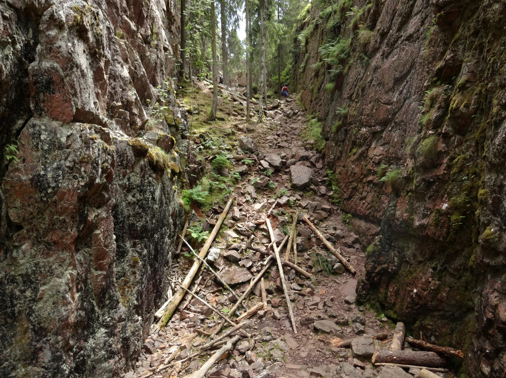
Skurugata. Rotated the photo slightly and cropped it. Also increased the contrast slightly using the brightness-contrast tool.
13.
14.
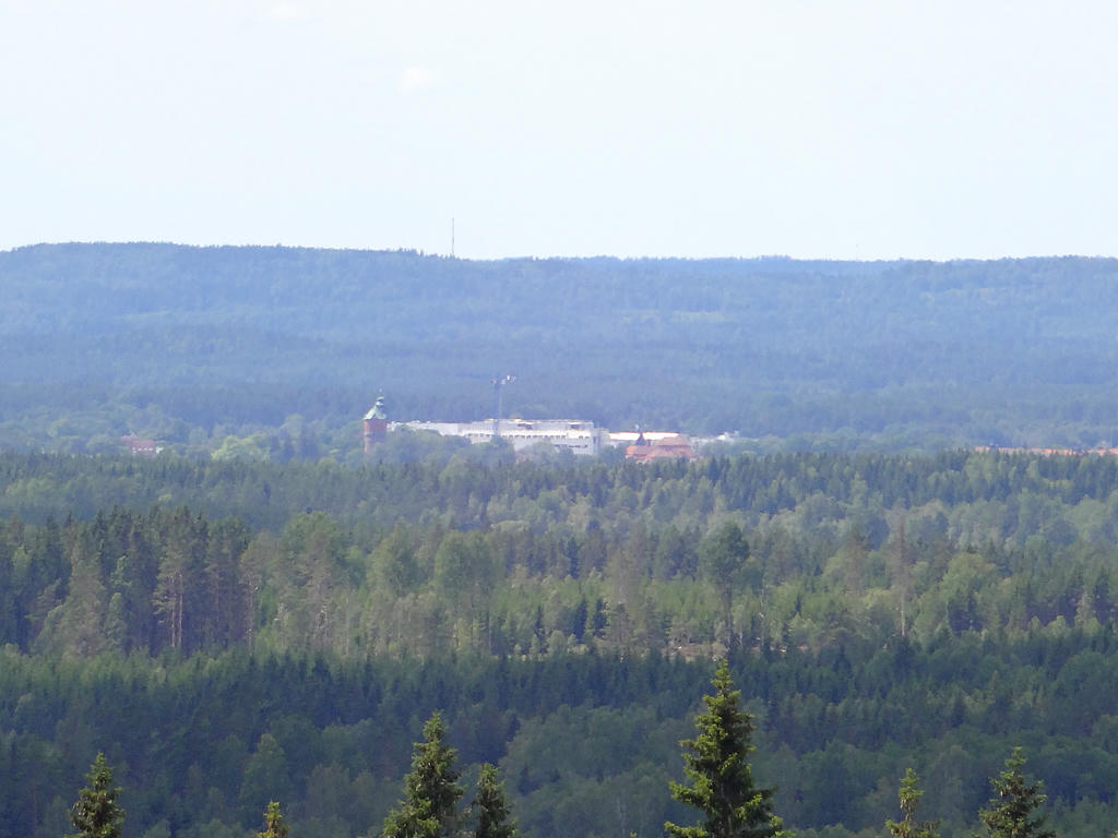
View of Eksjö from Skuruhatt. Increased the contrast slightly using the brightness-contrast tool. Also sharpened the photo slightly using unsharp mask.
15.
Skuruhatt. Used the hue restorer plug-in to get rid of the cyan-ish sky color.
Also darkened the sky slightly using the curves tool. Finally I increased the contrast slightly for the non-sky parts using the brightness-contrast tool.
16.
Brightened the photo slightly using the levels tool. Also rotated the photo slightly and cropped it.
17.
18.
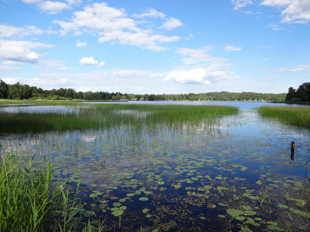
Försjön. Rotated the photo slightly and cropped it. Also used the hue restorer plug-in to reduce the cyan-ish sky color. Finally for the non-sky parts I slightly increased the contrast using the brightness-contrast tool and slightly increased the sharpness using the unsharp mask.
19.
Brightened the non-sky parts slightly using the levels tool.
20.
21.
Used the hue restorer plug-in to reduce the cyan-ish sky color. Also darkened the sky slightly using the levels tool.
22.
23.
Gåren. Rotated the photo slightly and cropped it. Then I used the hue restorer plug-in to remove the cyan-ish sky color. Also sharpened the photo slightly using unsharp mask. Then I used the levels tool to darken the sky slightly. Finally I used the brightness-contrast tool to slightly increase the contrast for the non-sky parts.
24.
25.
26.
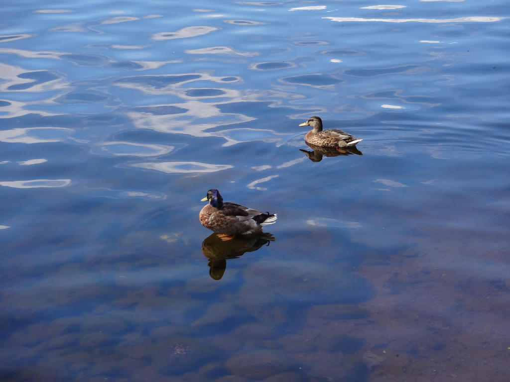
Mallards
27.
Hunsnäsen. Rotated the photo slightly and cropped it. Also darkened the sky slightly using the levels tool. Finally I increased the contrast slightly using the brightness-contrast tool.
28.
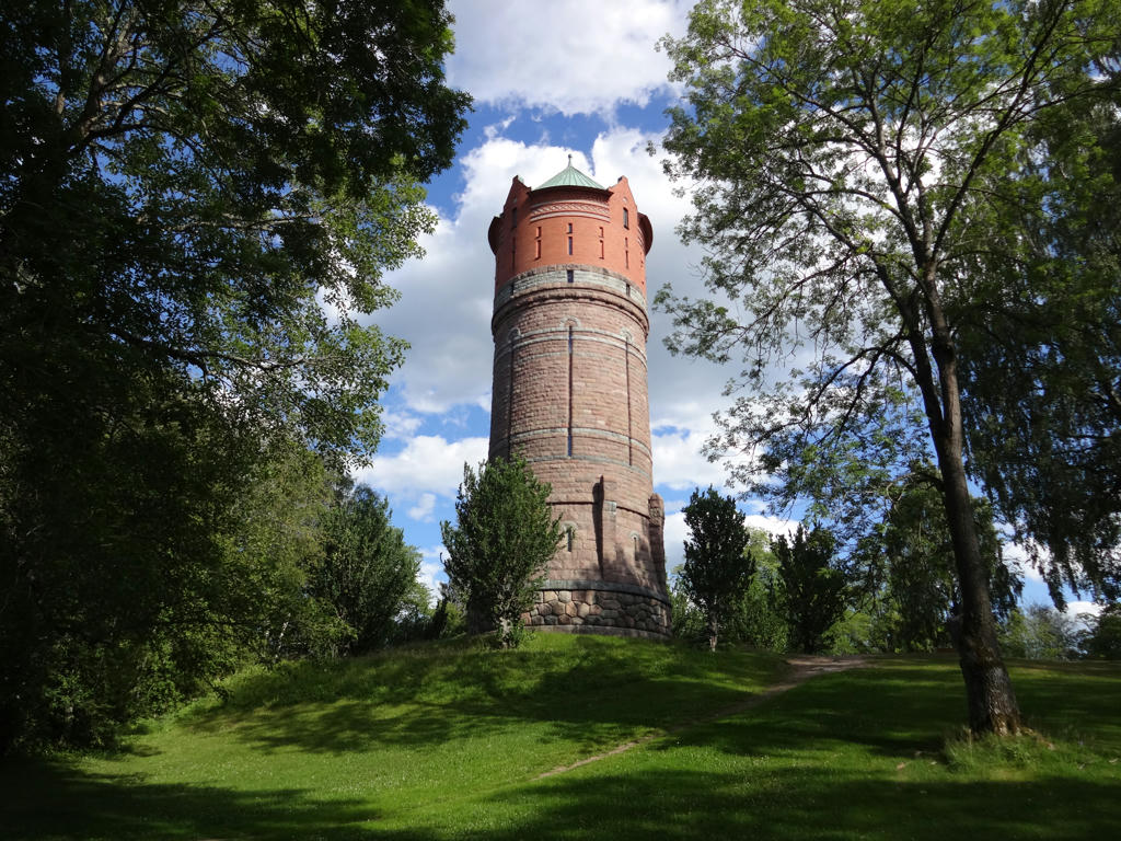
The old water tower in Eksjö. It was built in 1896 and was used until the 1970 when it was replaced by a new water tower at Kaffekullen(which looks very ugly as can be seen here).
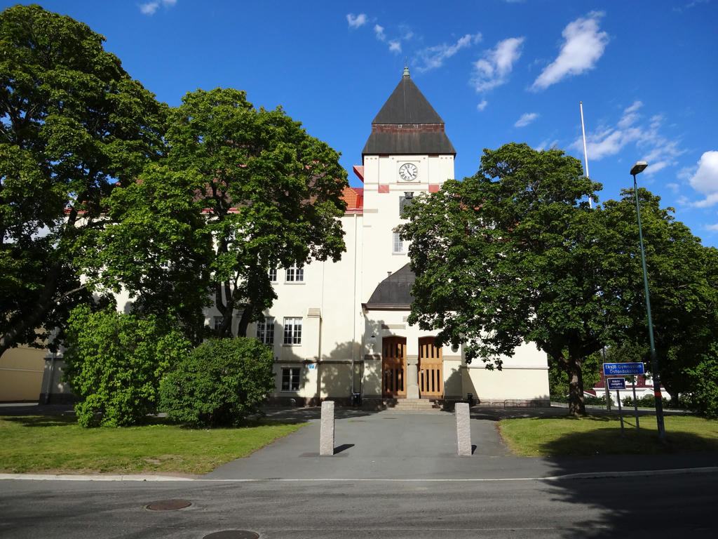
29.
A nice old building in Eksjö. Rotated the photo slightly and cropped it.
Also darkened the sky slightly using the levels tool. Finally I increased the contrast for the non-sky parts slightly using the brightness-contrast tool.
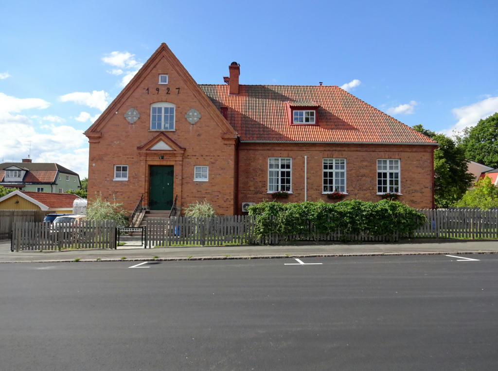
30.
Another nice old building in Eksjö. Brightened the sky slightly using the levels tool. Then I brightened the non-sky parts slightly using the curves tool.
Inga kommentarer:
Skicka en kommentar