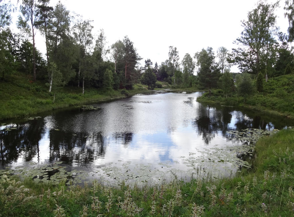
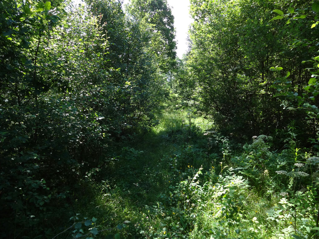
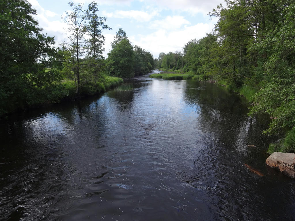
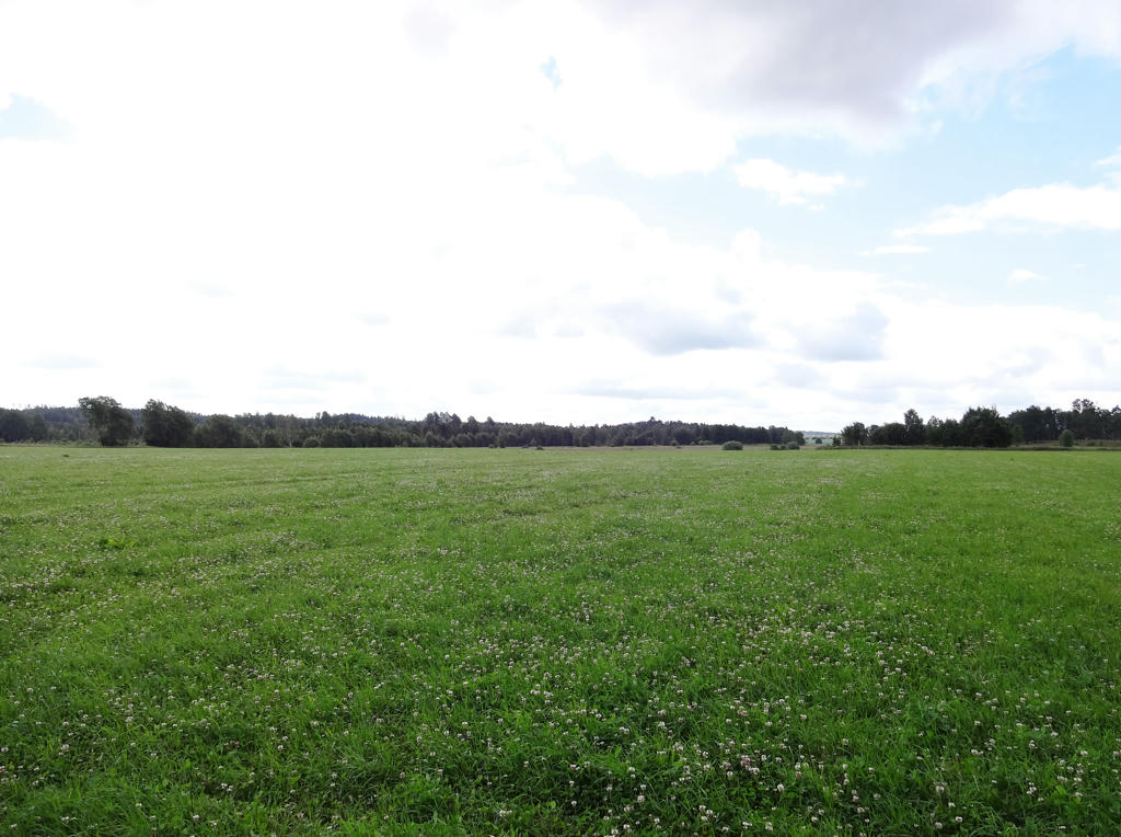
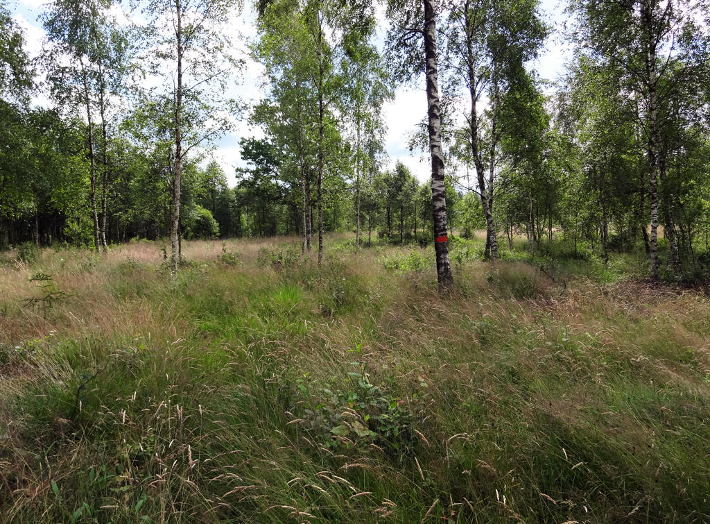
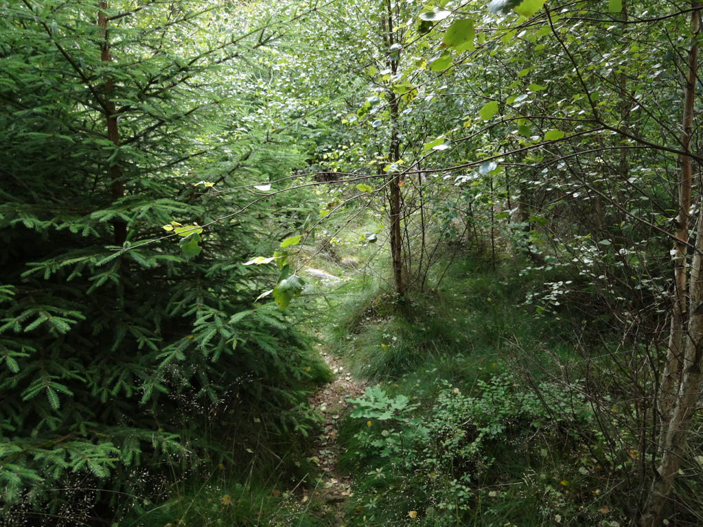
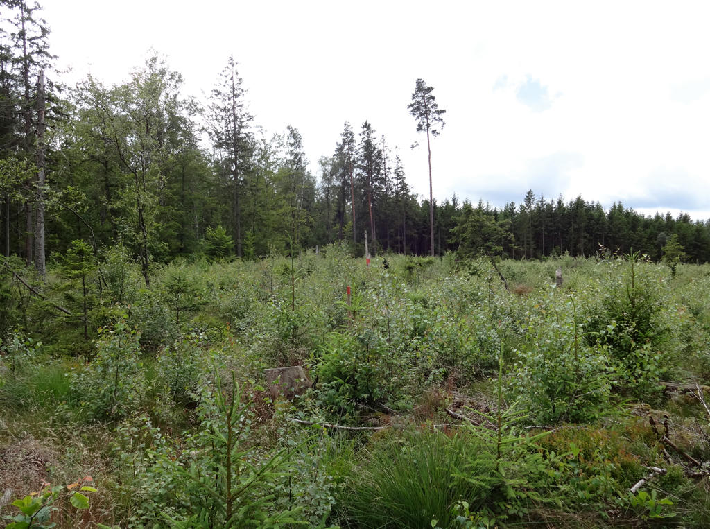
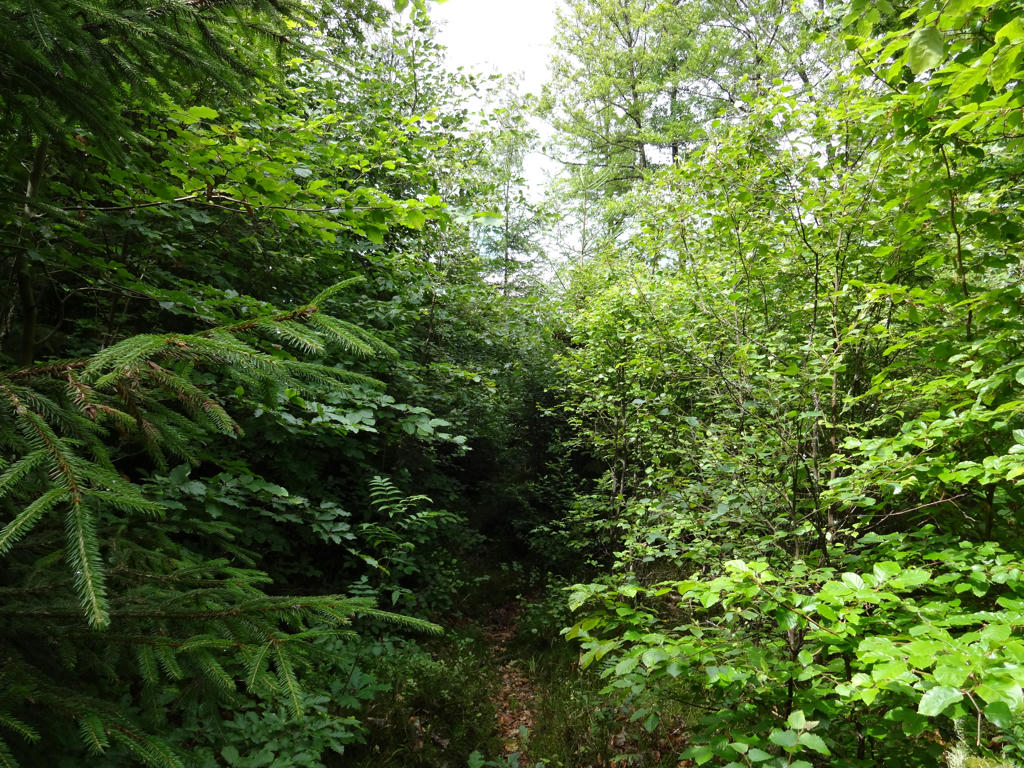
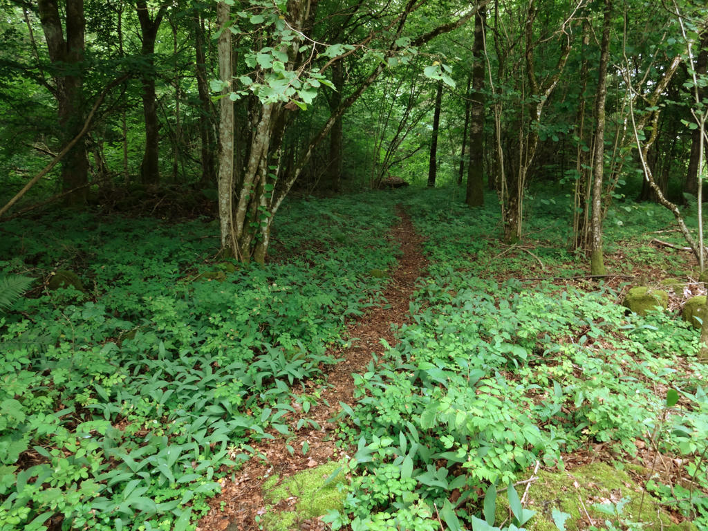
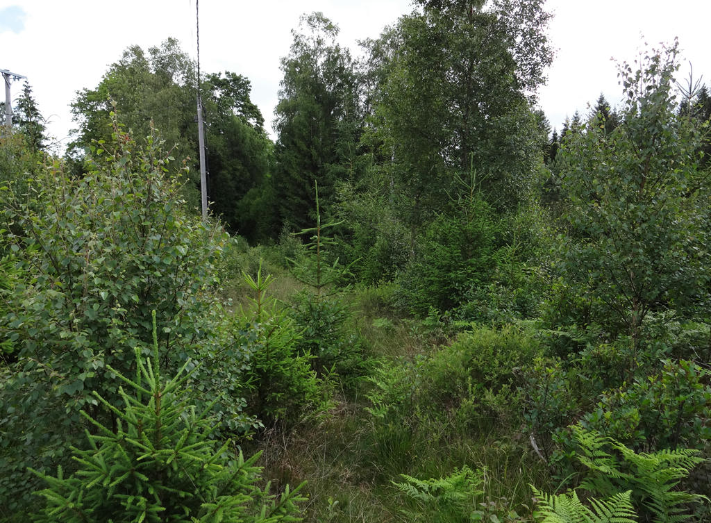
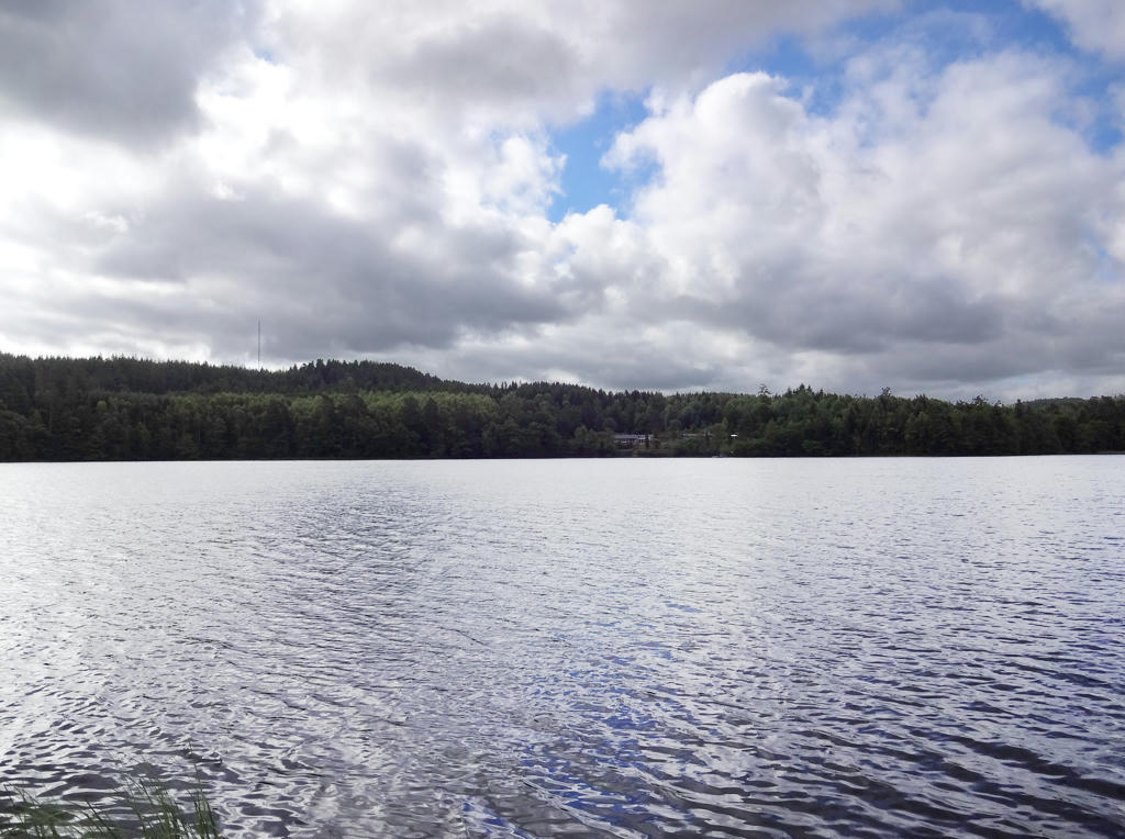
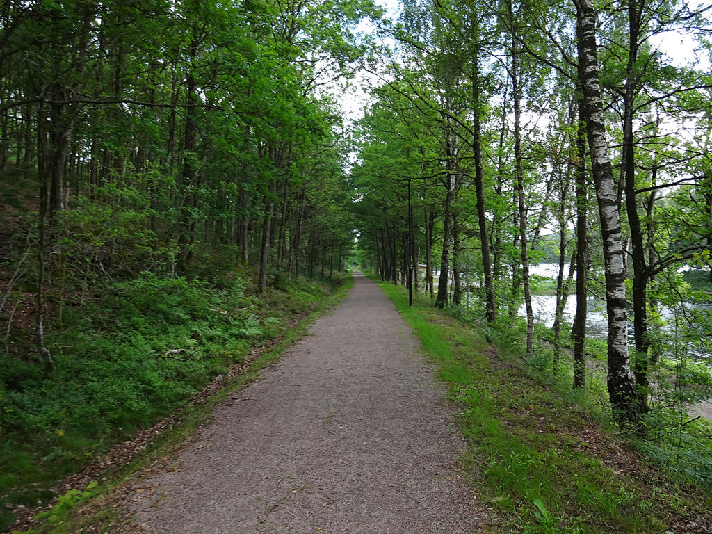
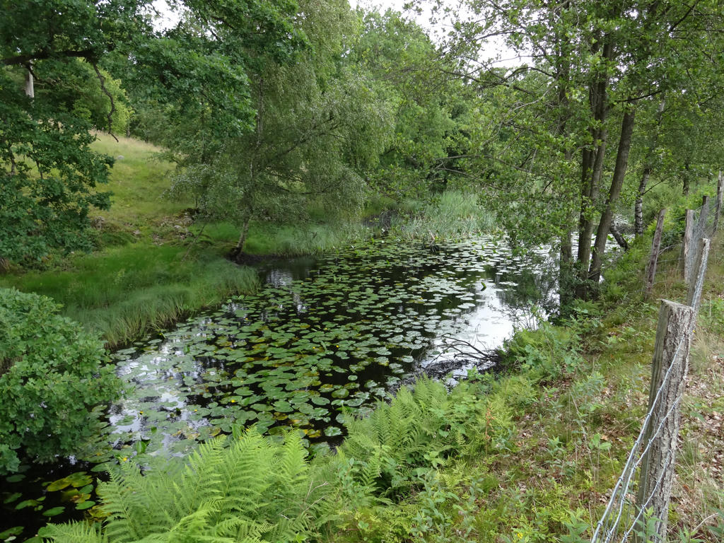
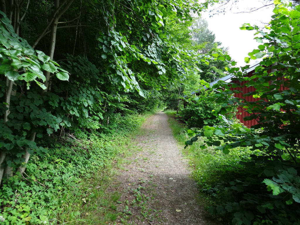
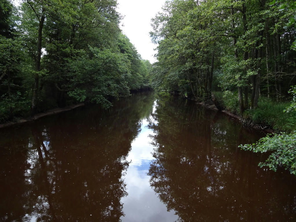
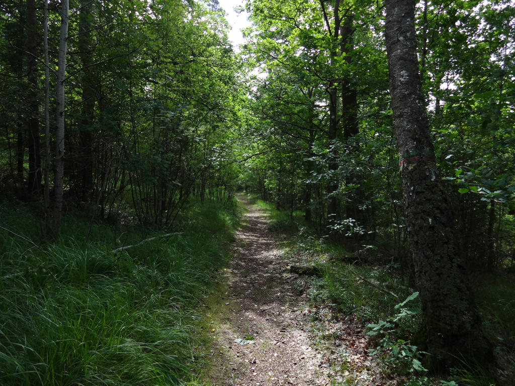
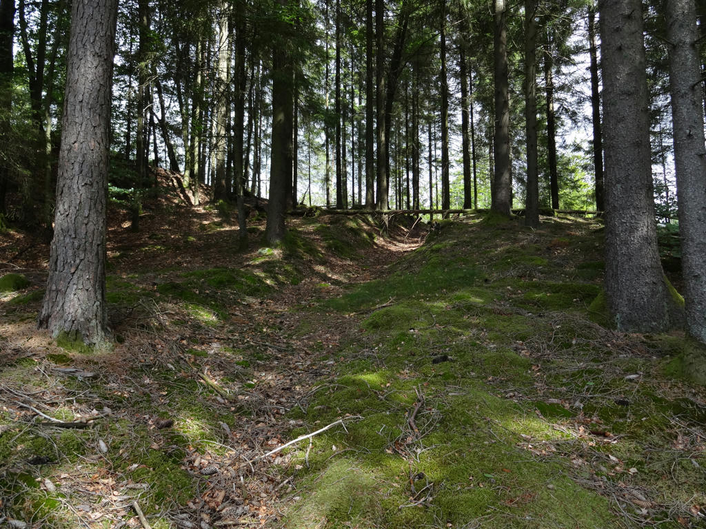
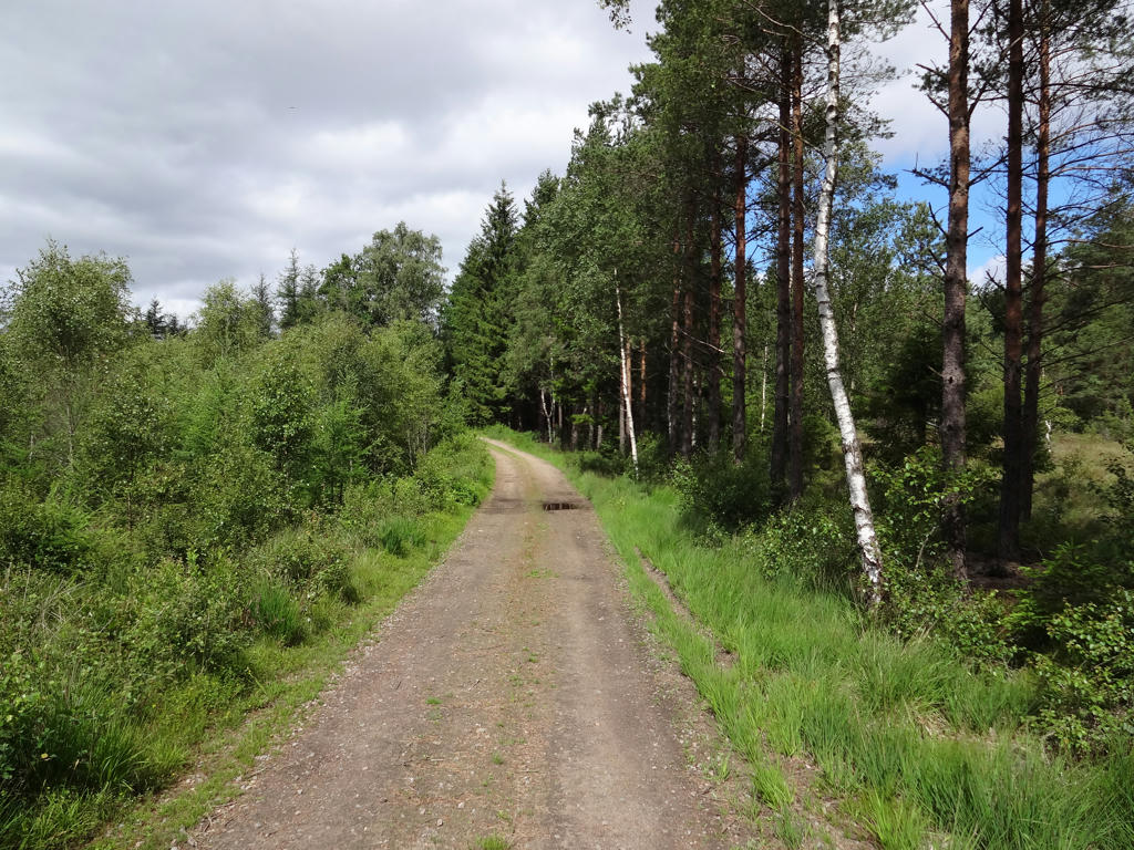
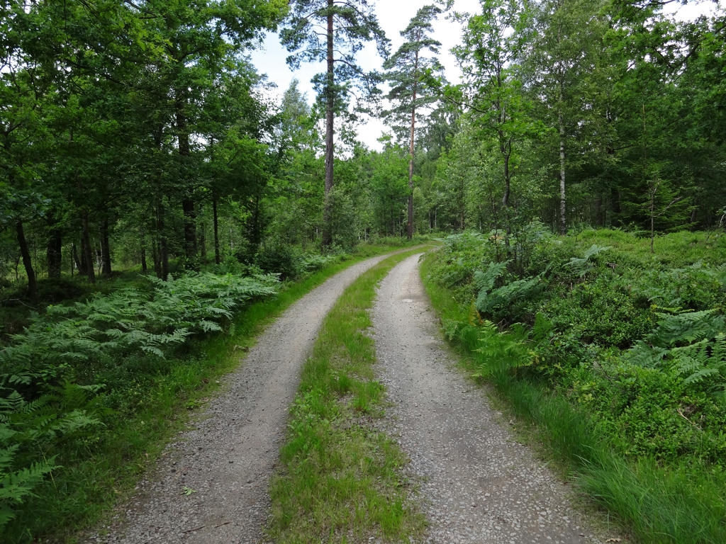
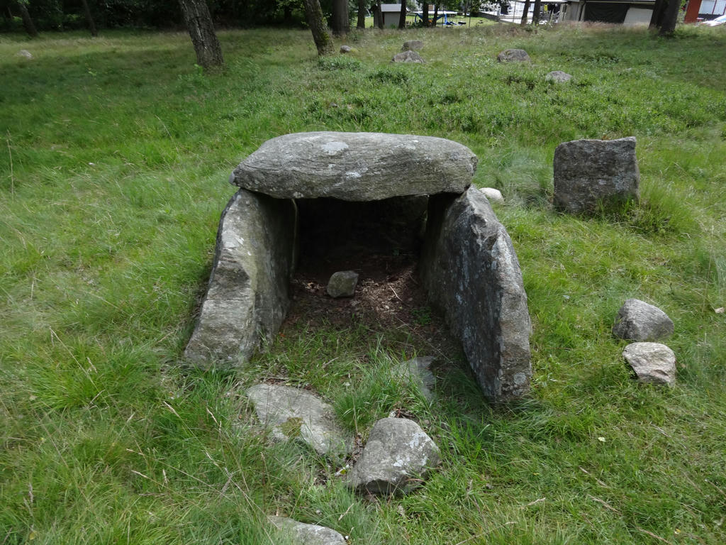
It was an interesting and quite idyllic walk with many lakes, small rivers and small villages on the way. As typically tends to be the case for Hallandsleden the walk went through lowland terrain for the most part and there were only a few places with significant height variations. The trail went mostly on gravel roads in forests, which was one of the main things which enabled me to obtain the high average speed mentioned above. Without further ado I present the photos. Enjoy!
1.
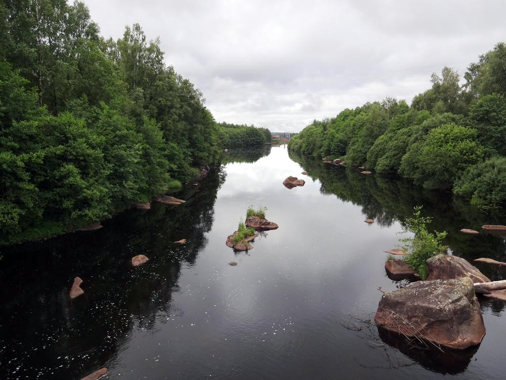
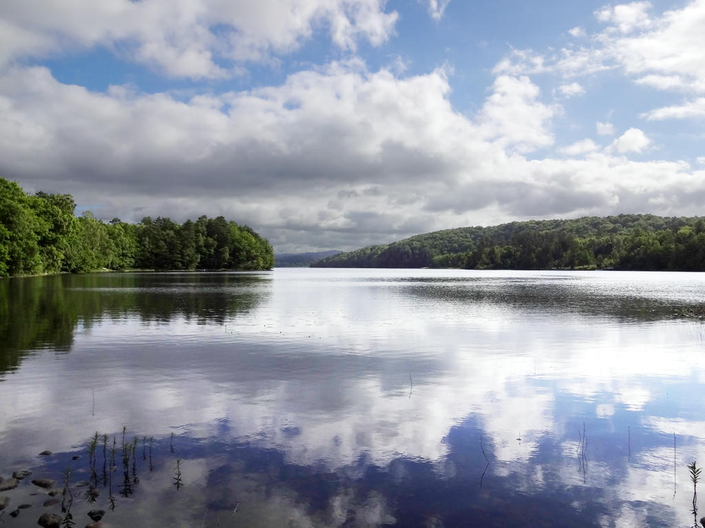
Nissan (near Rydöbruk). Increased brightness using the levels in tool in GIMP. Then for the non-sky parts I equalized the histogram and increased brightness further using the levels tool in GIMP.
2.
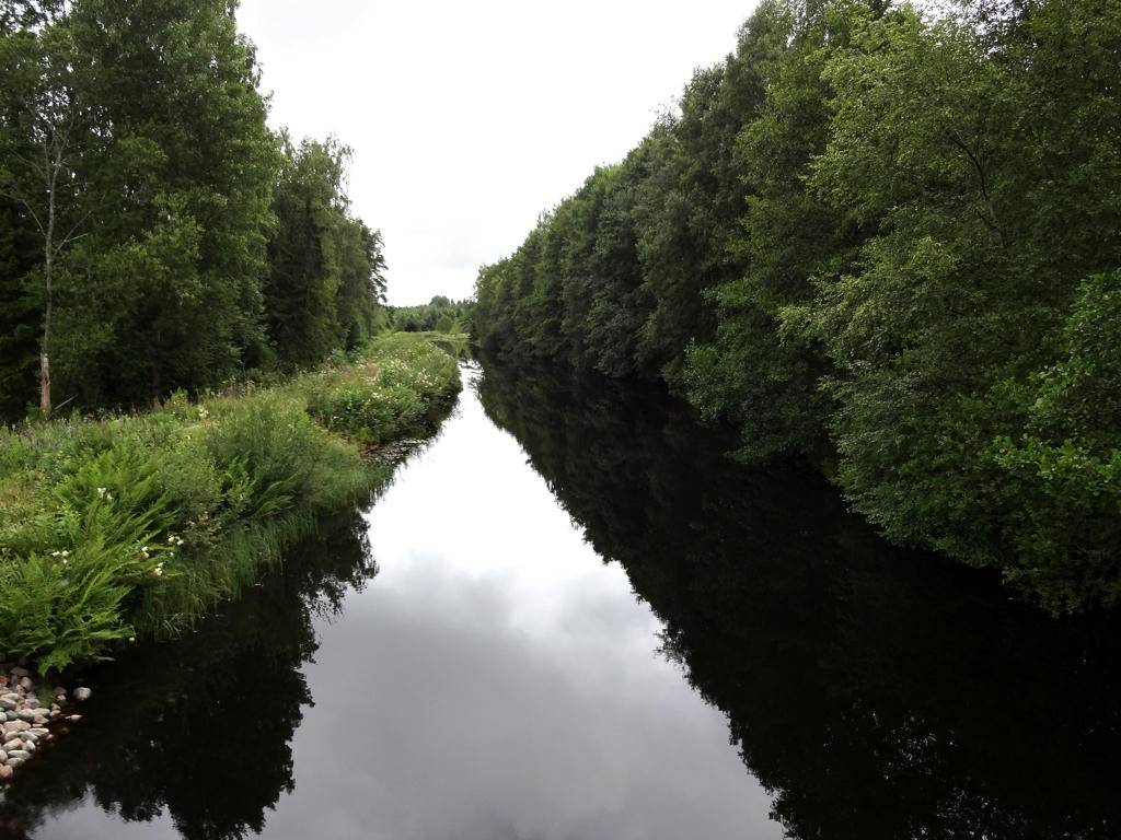
Nissan (near Fors). For the non-sky parts I increased the brightness using the levels tool and then slightly increased the contrast.
3.
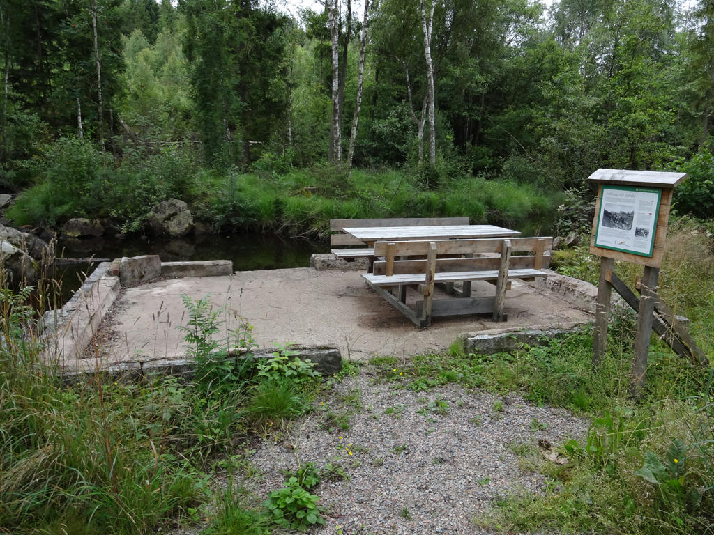
"Wash house and gambling den
Now only the foundation can be seen of the wash house that was used right up to the 1960s by the people living in the adjacent Fors housing estate. Water was carried up from the river and heated in a wood-fired pot where clothes and other textiles were then washed - by the women.
Money could also flow away here too. In the afternoons and at weekends, the house was often a hangout for factory workers and youths who played cards for high stakes. It is said that people were "cleaned out" when they gambled away the whole week's wage in the wash house."
Now only the foundation can be seen of the wash house that was used right up to the 1960s by the people living in the adjacent Fors housing estate. Water was carried up from the river and heated in a wood-fired pot where clothes and other textiles were then washed - by the women.
Money could also flow away here too. In the afternoons and at weekends, the house was often a hangout for factory workers and youths who played cards for high stakes. It is said that people were "cleaned out" when they gambled away the whole week's wage in the wash house."
4.
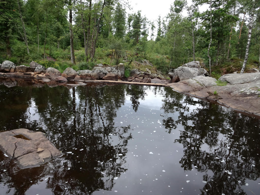
Where Lahults mill and pond used to be
"The mill was originally owned by the farmers in Lahult, and it operated during the nineteenth century and a few years into the twentieth century. There is also a reference to the presence here of an early sawmill for household needs. In 1873 J.G. Petterson, the factory owner of Rydöbruk, bought the mill and the area around the Klubbån river. After just six years he sold it to J.A. Brodin, who had previously run mills at Sperlingsholm outside Halmstad and at Skärkån near Glassbo, west of Rydöbruk.
As the time passed Brodin founded a sawmill, a forge and a carpentry workshop beside the millpond. Around 1900 the former site was transformed into a local industrial centre, albeit on a modest scale and with a large element of craft work and hand power.
In 1909 Brodin sold the business to the merchant and butcher Christian Bengtsson of Rydöbruk. In 1914 he built a small power station on the Klubbån so that workshops and nearby dwellings could have electric lights.
In connection with the construction of the canal and the power station in Rydöbruk in 1918, the business became the property of the company Rydö Bruks & Fabriks AB. All the buildings around the pond were demolished and the area became part of a newly established log-driving route that ran as far as the factory's forests by the Mjäla lakes about ten kilometers to the east. Also built at that time was a log-driving channel of stone, some 500 metres long, which is well preserved a little way upstream from the pond. Log driving was carried on for just a few years, after which the timber was transposed by road."
Rotated and cropped the image. Also adjusted the brightness for the non-sky parts using the levels tool.
"The mill was originally owned by the farmers in Lahult, and it operated during the nineteenth century and a few years into the twentieth century. There is also a reference to the presence here of an early sawmill for household needs. In 1873 J.G. Petterson, the factory owner of Rydöbruk, bought the mill and the area around the Klubbån river. After just six years he sold it to J.A. Brodin, who had previously run mills at Sperlingsholm outside Halmstad and at Skärkån near Glassbo, west of Rydöbruk.
As the time passed Brodin founded a sawmill, a forge and a carpentry workshop beside the millpond. Around 1900 the former site was transformed into a local industrial centre, albeit on a modest scale and with a large element of craft work and hand power.
In 1909 Brodin sold the business to the merchant and butcher Christian Bengtsson of Rydöbruk. In 1914 he built a small power station on the Klubbån so that workshops and nearby dwellings could have electric lights.
In connection with the construction of the canal and the power station in Rydöbruk in 1918, the business became the property of the company Rydö Bruks & Fabriks AB. All the buildings around the pond were demolished and the area became part of a newly established log-driving route that ran as far as the factory's forests by the Mjäla lakes about ten kilometers to the east. Also built at that time was a log-driving channel of stone, some 500 metres long, which is well preserved a little way upstream from the pond. Log driving was carried on for just a few years, after which the timber was transposed by road."
Rotated and cropped the image. Also adjusted the brightness for the non-sky parts using the levels tool.
5.
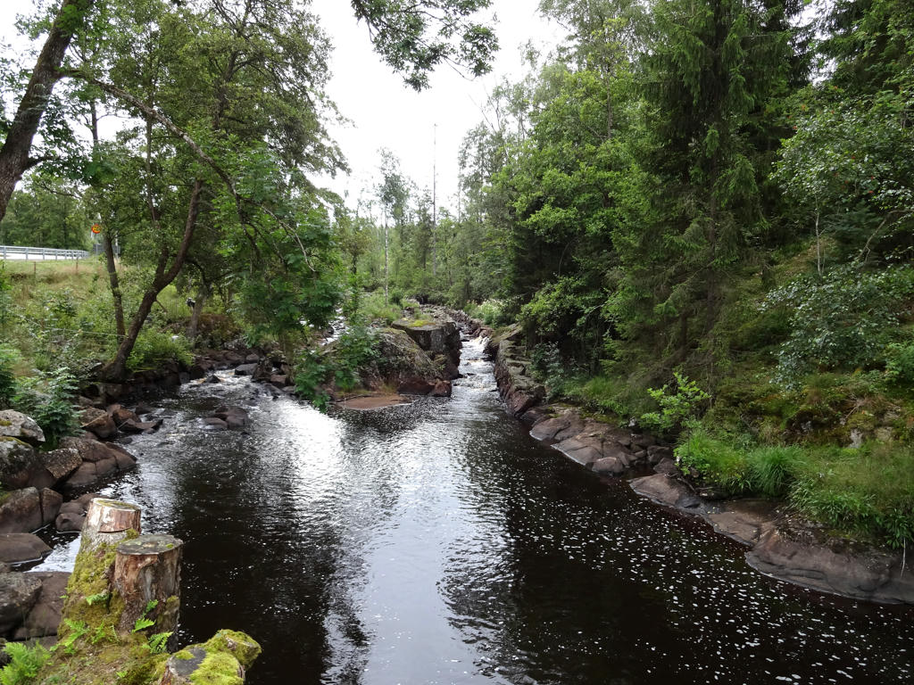
Flottningsrännan
This paved watercourse is 300m long and is part of a 10km long log-driving path between Mjälahult and Nissan. The log-driving path has been referred to as Sweden's most expensive and was built in the years 1918-20.
Rotated and cropped the image. Then I adjusted the brightness for the non-sky parts using the levels tool.
This paved watercourse is 300m long and is part of a 10km long log-driving path between Mjälahult and Nissan. The log-driving path has been referred to as Sweden's most expensive and was built in the years 1918-20.
Rotated and cropped the image. Then I adjusted the brightness for the non-sky parts using the levels tool.
6.
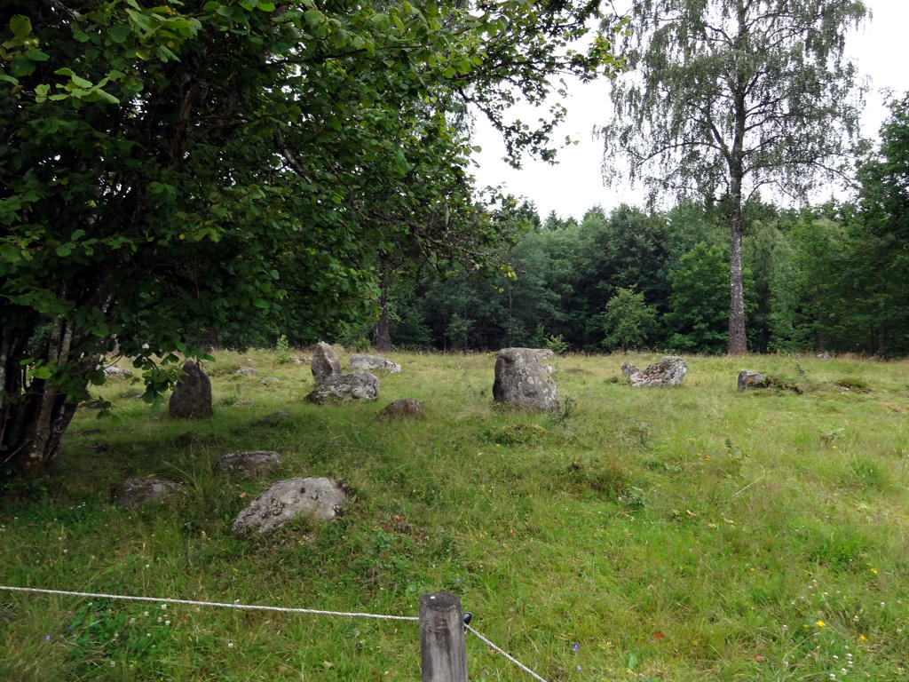
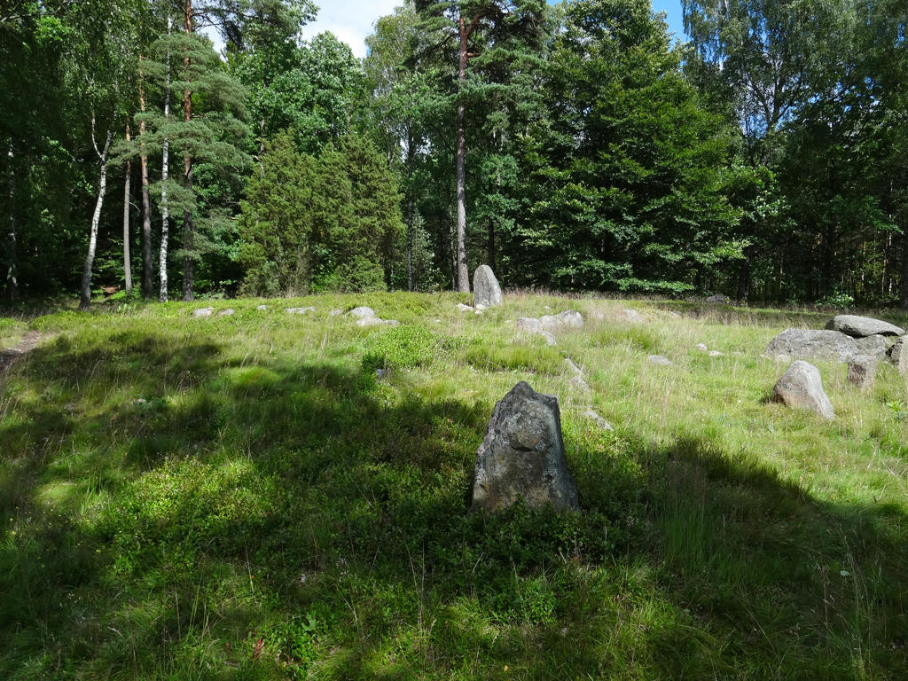
"The gravefield at Lahult with a stone triangle and stone circles
In the centuries after the birth of Christ the population of the inland Halland increased. All that remains today is the farm's small family gravefield. The gravefield within the fence is a typical example and illustrates the wide variety which existed then. Here you can see four stone circles, one stone triangle and one raised stone. The stone triangle is one of the largest in Halland."
Rotated and cropped the image. Also equalized the histogram for the non-sky parts.
In the centuries after the birth of Christ the population of the inland Halland increased. All that remains today is the farm's small family gravefield. The gravefield within the fence is a typical example and illustrates the wide variety which existed then. Here you can see four stone circles, one stone triangle and one raised stone. The stone triangle is one of the largest in Halland."
Rotated and cropped the image. Also equalized the histogram for the non-sky parts.
7.
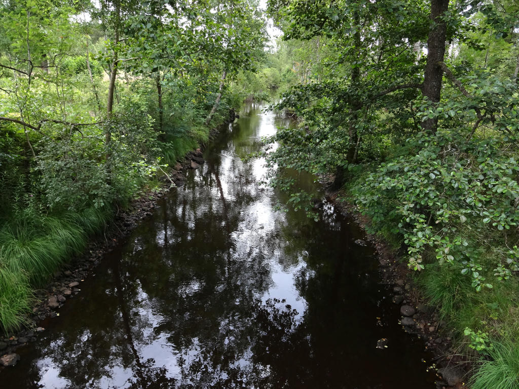
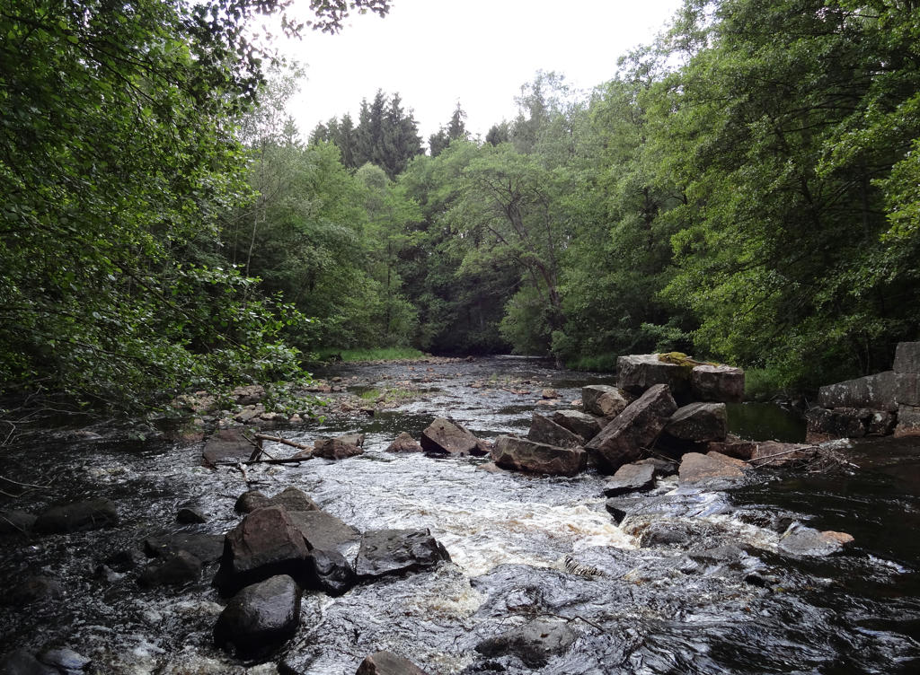
Klubbån. Rotated and cropped the image. Also increased the brightness for the non-sky parts using the levels tool.
8.
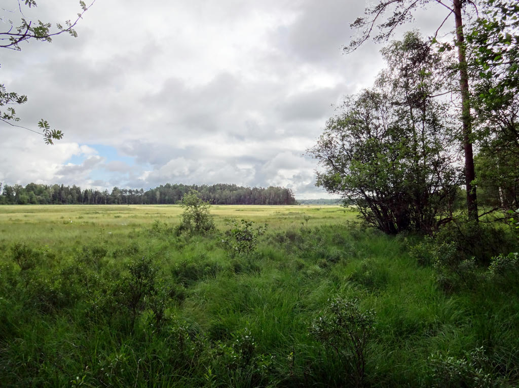
Bog near Sandsjön. Rotated and cropped the photo. Then I increased the brightness and contrast for the non-sky parts.
9.
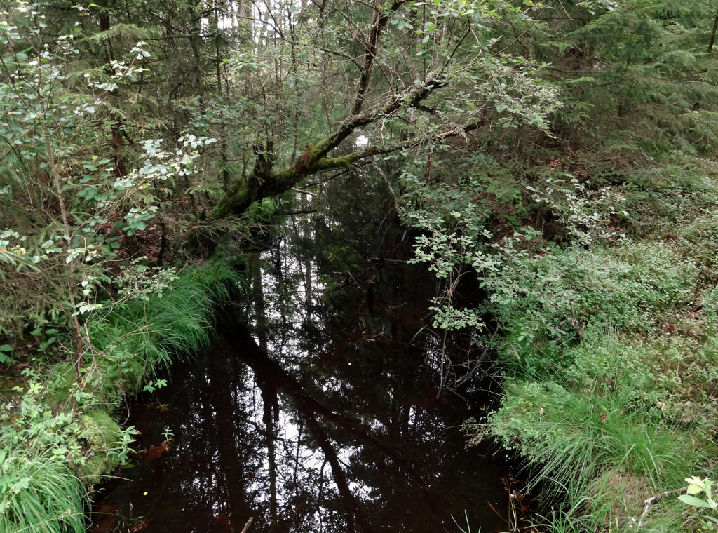
Snokabäcken. Rotated and cropped the image. Also tried improving the colors (since the photo has a blue cast) by equalizing the histogram and adjusting the color channels using the curves tool but it's tricky and the photo probably needs some further work.
10.
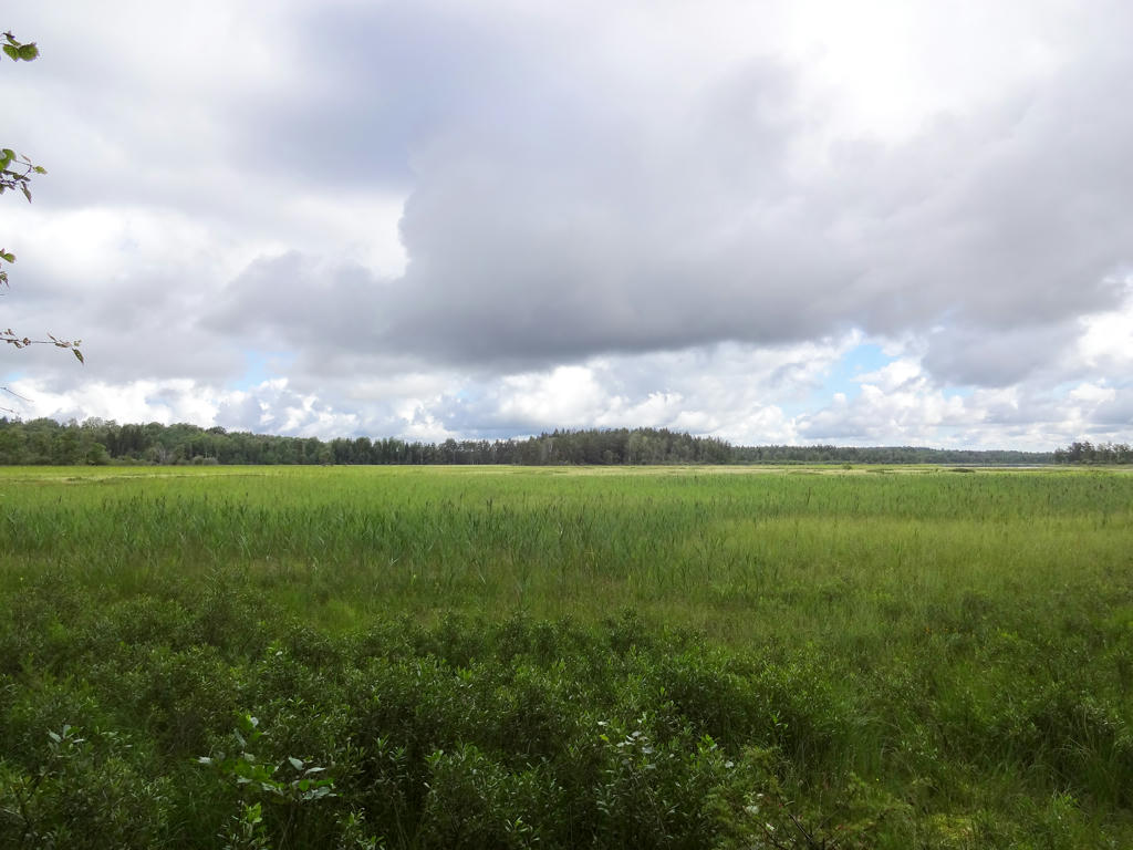
Bog near Sandsjön. For the non-sky parts I increased the brightness using the curves tool and increased the contrast. Also decreased the effect of the blue channel using the levels tool.
11.
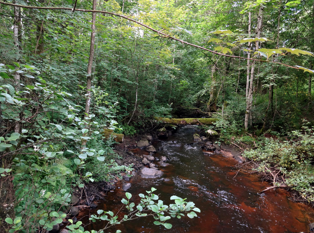
Klubbån (near Gammalsbo). Decreased the effect of the blue channel and also equalized the histogram.
12.
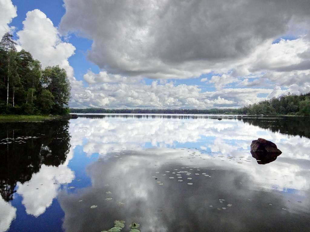
Nordsjön. The photo was way too dark (for the non-sky parts) and so I increased the brightness for the non-sky parts (using curves tool) and then further increased the brightness for the forest parts (using the curves tool). Also increased the contrast for the forest parts.
13.
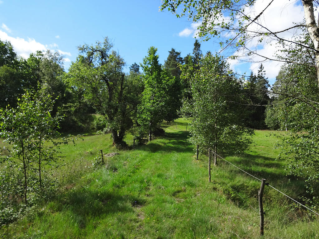
Used the hue restorer plug-in to get rid of cyan-ish sky. I sharpened the non-sky parts. I also decreased contrast and increased brightness for the non-sky parts (using the curves tool).
14.
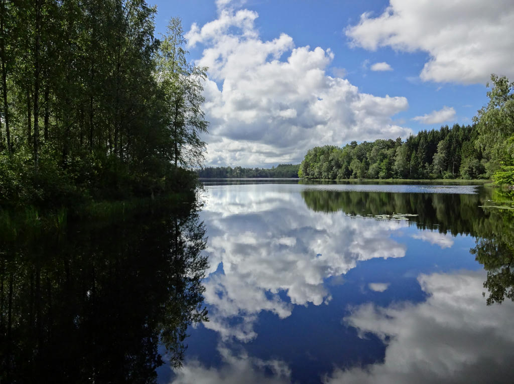
Hagasjön. Rotated and cropped the image. Then I increased the brightness for the non-sky parts using the levels tool.
15.
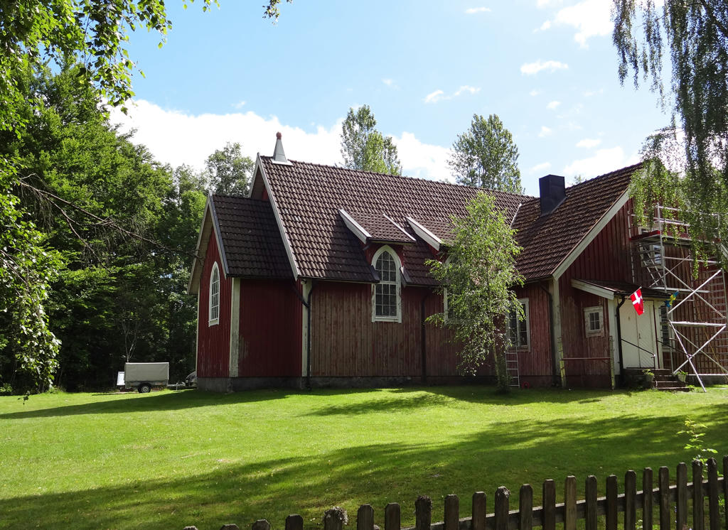
Mjälahults Kapell.
Wooden church with steeple from 1923.
Rotated and cropped the photo. Then I used the hue restorer plug-in.
Wooden church with steeple from 1923.
Rotated and cropped the photo. Then I used the hue restorer plug-in.
16.
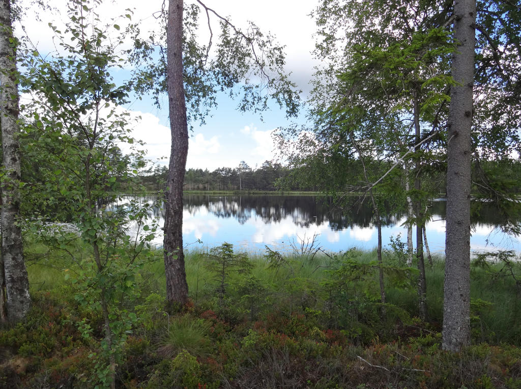
Altgunnen. Removed the cyan-ish sky using the hue restorer plug-in. Then I increased the brightness and contrast (slightly) for the non-sky parts. Finally I rotated the image slightly and then cropped it.
17.

Stora Altgunnen. Used the curves tool to increase the brightness of the non-sky parts and then increased the contrast for the forest parts in the back.
18.
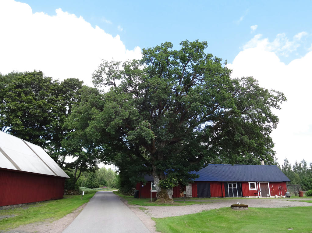
"The Ynnabo oak
It used to be a custom to plant a "guardian tree" on the farm. The tree was then supposed to watch over the coming generations. Here in Ynnabo they chose an oak which in a few hundred years has grown so big that it has been classed as a natural monument."
Rotated and cropped the photo and then I used hue-restorer to remove the cyan-ish sky.
It used to be a custom to plant a "guardian tree" on the farm. The tree was then supposed to watch over the coming generations. Here in Ynnabo they chose an oak which in a few hundred years has grown so big that it has been classed as a natural monument."
Rotated and cropped the photo and then I used hue-restorer to remove the cyan-ish sky.
19.
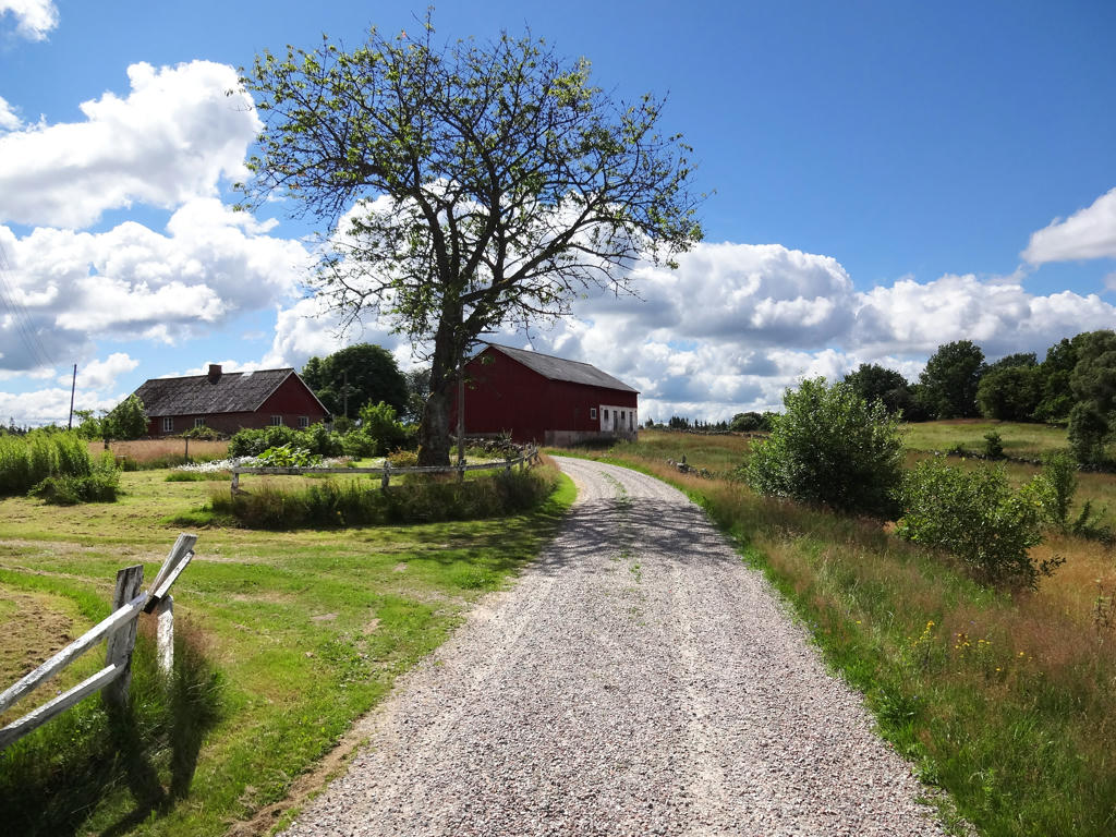
Increased the brightness for the non-sky parts using the levels tool.
20.
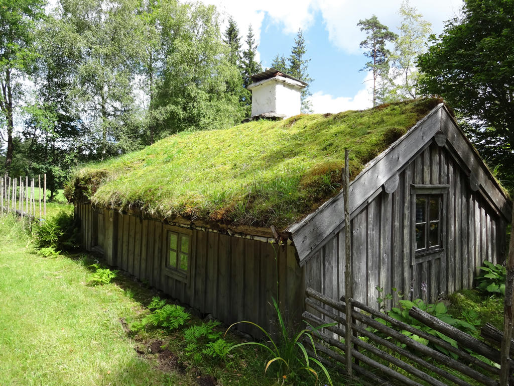
Lurehus
The trail passes past Lurehus, which is a cute log cabin from the 1800s where Sanna and her daughter Selma lived until 1960.
Removed the cyan-ish sky using the hue restorer plug-in.
The trail passes past Lurehus, which is a cute log cabin from the 1800s where Sanna and her daughter Selma lived until 1960.
Removed the cyan-ish sky using the hue restorer plug-in.
21.
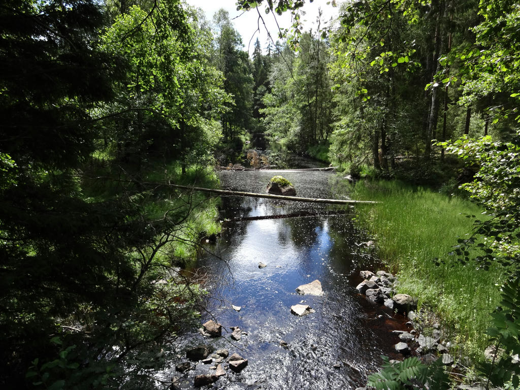
Skifteboån. Increased the brightness slightly for the non-sky part using the levels tool.
22.
23.
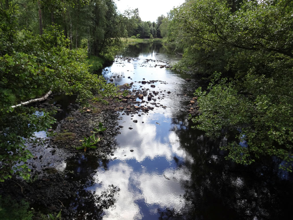
Fylleån. Increased the brightness for the non-sky parts using the curves tool.
24.
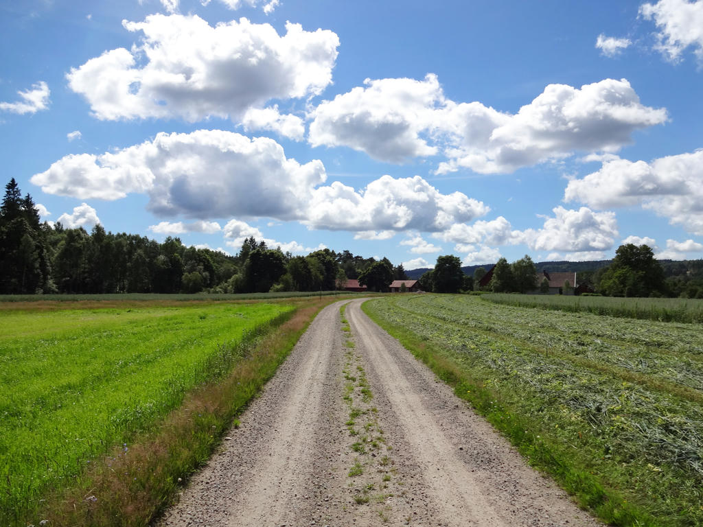
Bårared. Slightly increased the brightness for the non-sky parts using the curves tool.
25.
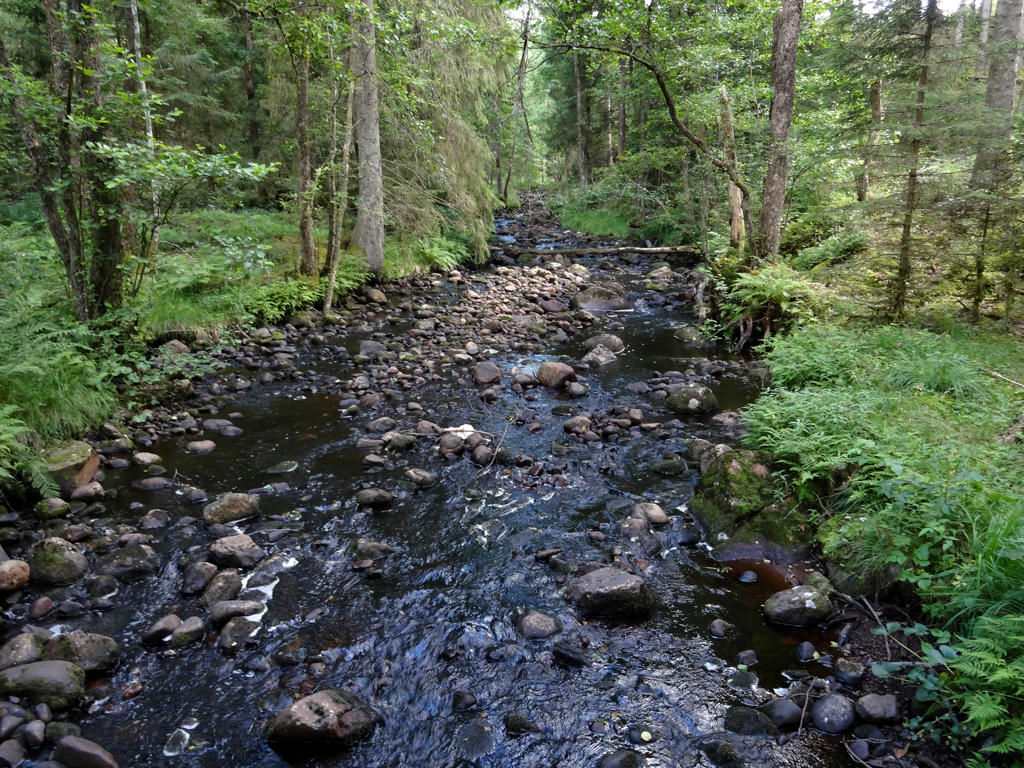
Hällabäcken. Increased the contrast.
26.
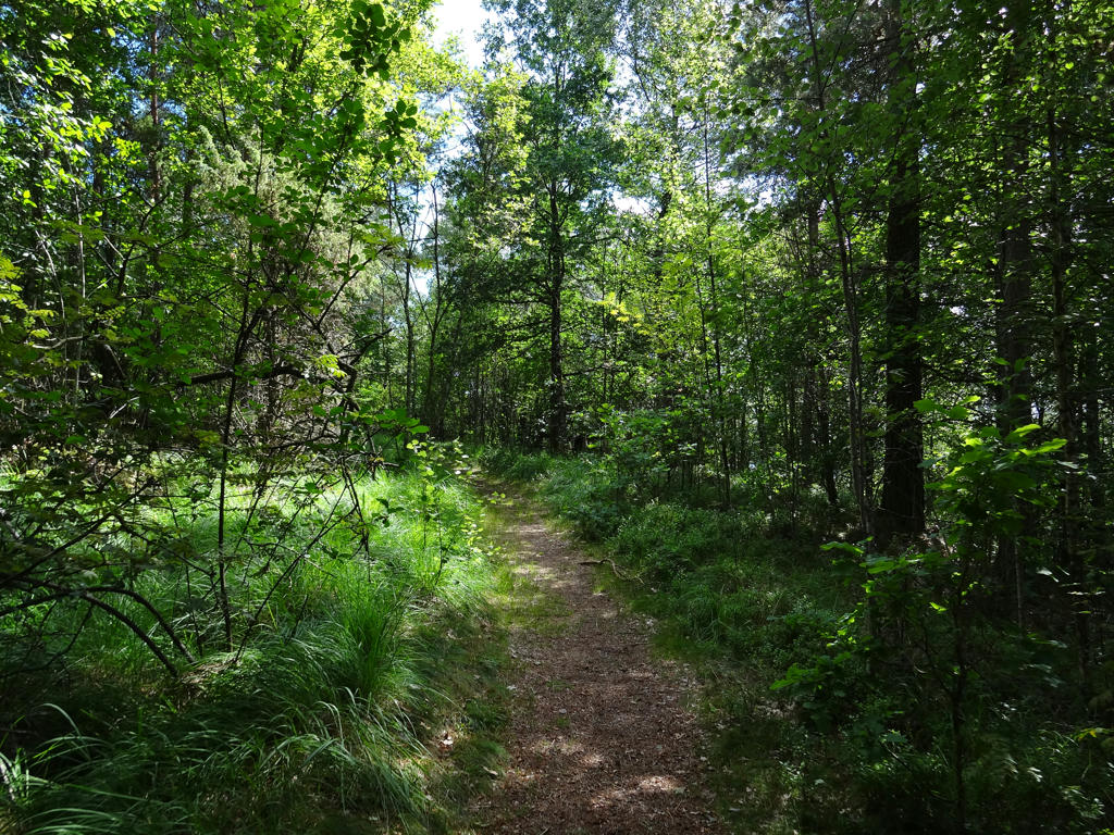
Near Gyltige
27.
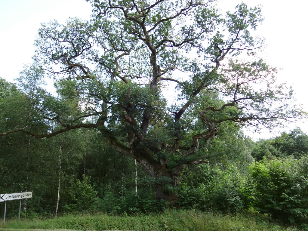
"The Gyltige oak
This old oak has a diameter of more than 5 metres and is one of the largest in Halland. This enormous tree is protected as a natural moment."
Reduced the blue cast for the non-sky parts by reducing the effect of the blue channel using the levels tool.
This old oak has a diameter of more than 5 metres and is one of the largest in Halland. This enormous tree is protected as a natural moment."
Reduced the blue cast for the non-sky parts by reducing the effect of the blue channel using the levels tool.