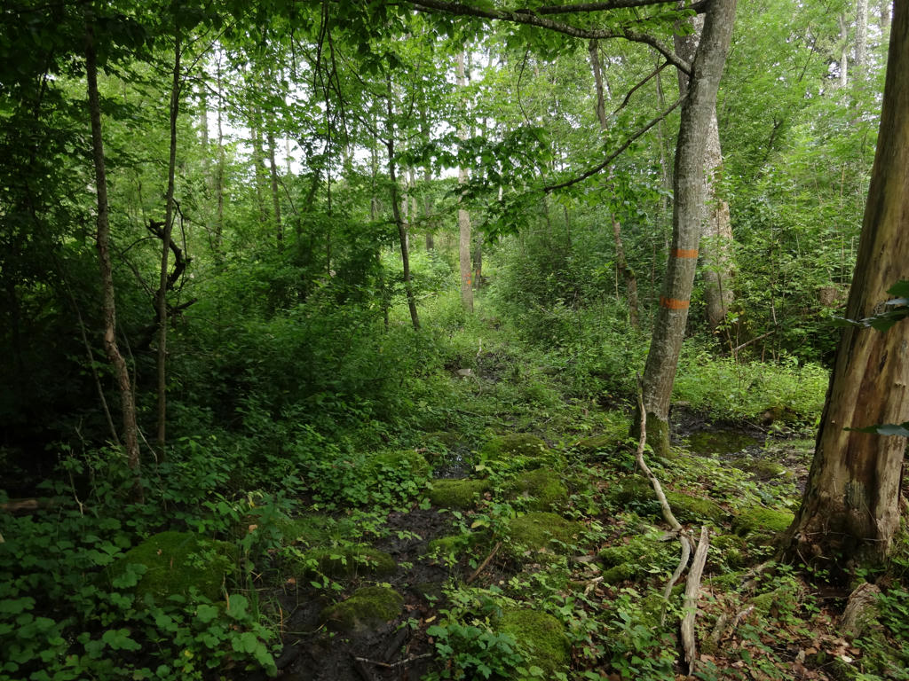
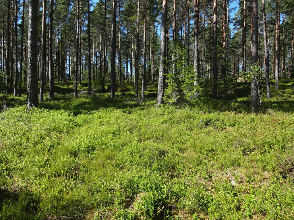
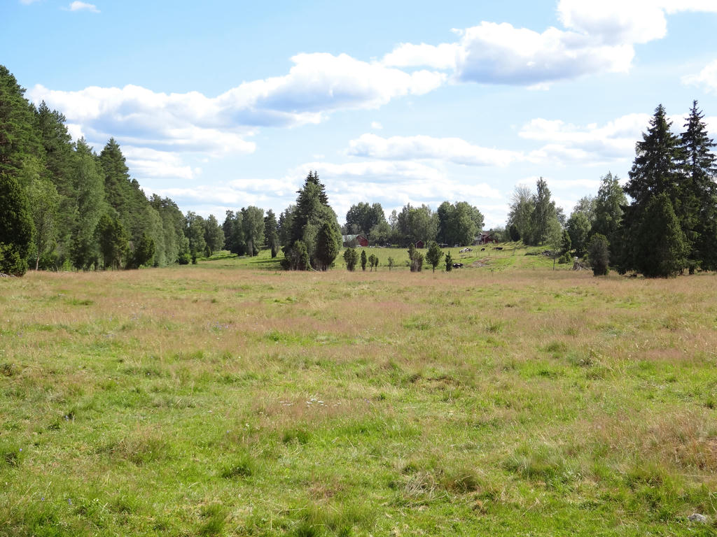
The Skåneleden trail has many similarities with Hallandsleden and also some similarities with Gislavedsleden and Höglandsleden (which are the E6 trails going through Småland). As you might have guessed the trail went to a large extent through quite open terrains, often in the form of small scale or large scale farm land. Deciduous forests is the most common forest type. Coniferous forests are more common in the northern parts of Skåneleden. In general the southern parts of Skåneleden go to a much larger extent through open landscapes while the northern parts go mainly through forests. Another characteristic of Skåneleden is its' lack of lakes compared to other trails such as Höglandsleden, Bergslagsleden or even Hallandsleden. Similarily to Hallandsleden, Skåneleden goes through some beautiful beech forests. Another characteristic of Skåneleden to note is that you rarely go through desolated areas; usually Skåneleden goes through or nearby areas with relatively high population density. This isn't strange considering that Skåne has a population of 1.3 million and also has a lot of farm land. For comparison the population density in Skåne is 121 per square kilometer while in Småland it is 25.7 per square kilometer. These and other characteristics of Skåneleden that I haven't mentioned will become apparent in the blog posts. For now lets focus on Skåneleden Walk #2 between Löberöd and Ludvigsborg.
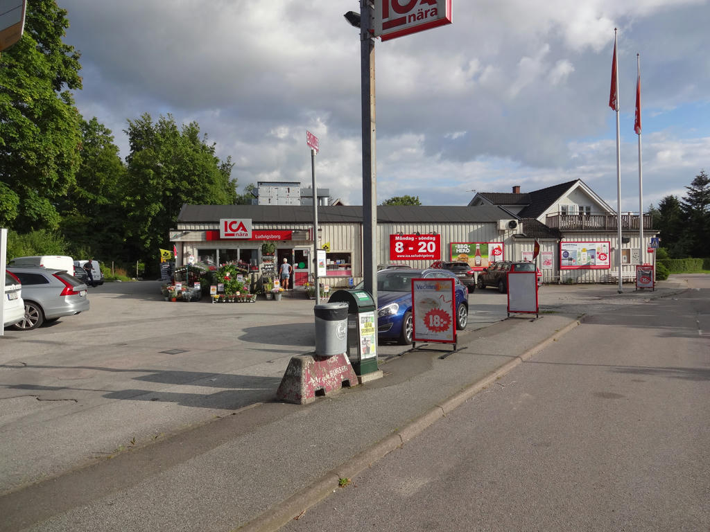
I originally planned that my first walk during the stay at the hostel would be between Åsljunga and Bjärnum (the northernmost remaining part of Skåneleden). However, the previous evening the weather prognosis showed that it was going to rain there (and also at the other locations for the walks). In the morning it turned out that it was not going to rain at Åsljunga or Bjärnum but I had already woken up too late to be able to make it on time for the public transport to Åsljunga. Instead I decided to walk between Löberöd and Ludvigsborg which is Skåneleden segment 4 of 8 in the south to north direction (according to how I divided it). In other words I started off near the middle. The weather was quite cloudy as expected but it didn't rain. The travel duration to Löberöd was only 1h4mins and the travel duration back from Ludvigsborg was 1h33mins (it could have been shorter by up to 20 minutes but I made a quick visit to a grocery store in Malmö before going back to the hostel).
In any case, the walk was 36.2km in total (the last 2.7km at the end were required to reach the bus stop in Ludvigsborg). The total duration for the walk was 10h28mins. Thus my average speed was approximately 3.46km/h.
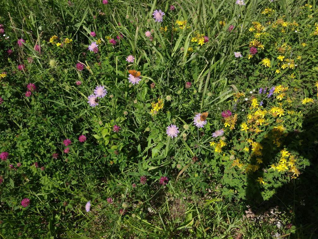
Overall, it was a really interesting and enjoyable walk, possibly one of my favorite Skåneleden walks. The terrain/environment is quite varied and includes small towns, large small farm land, small scale farm land, meadows, deciduous forests and coniferous forests. It was one of these walks that felt like quite a journey (partially because of how long it is and partially because it took over 10h to complete).
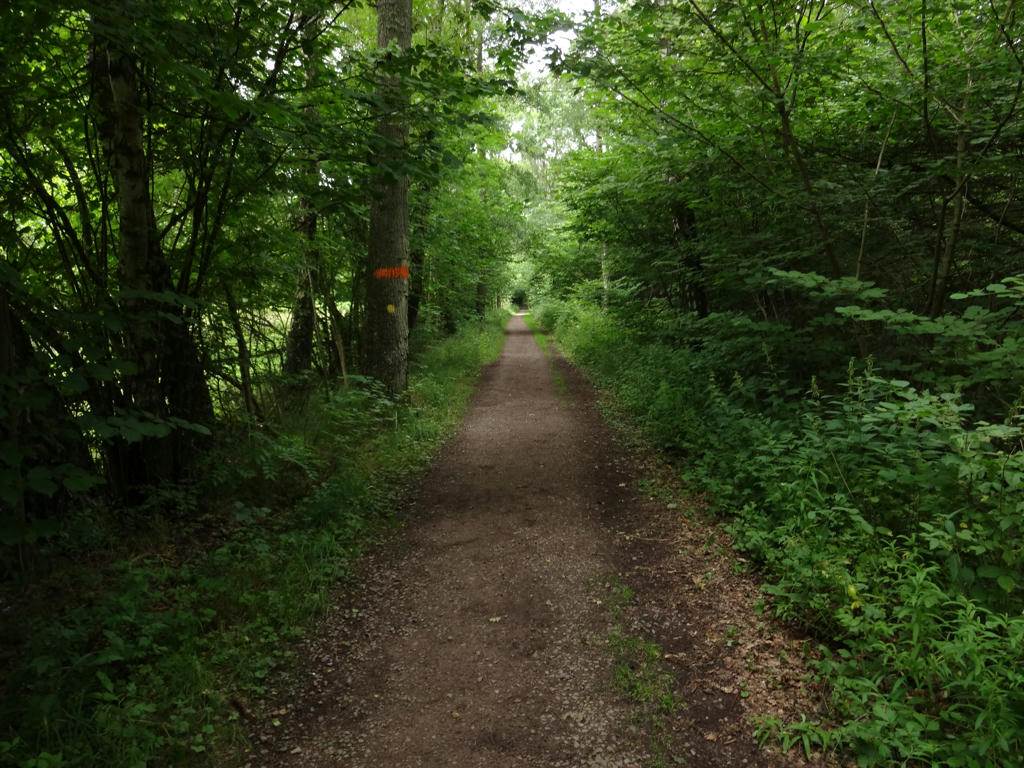
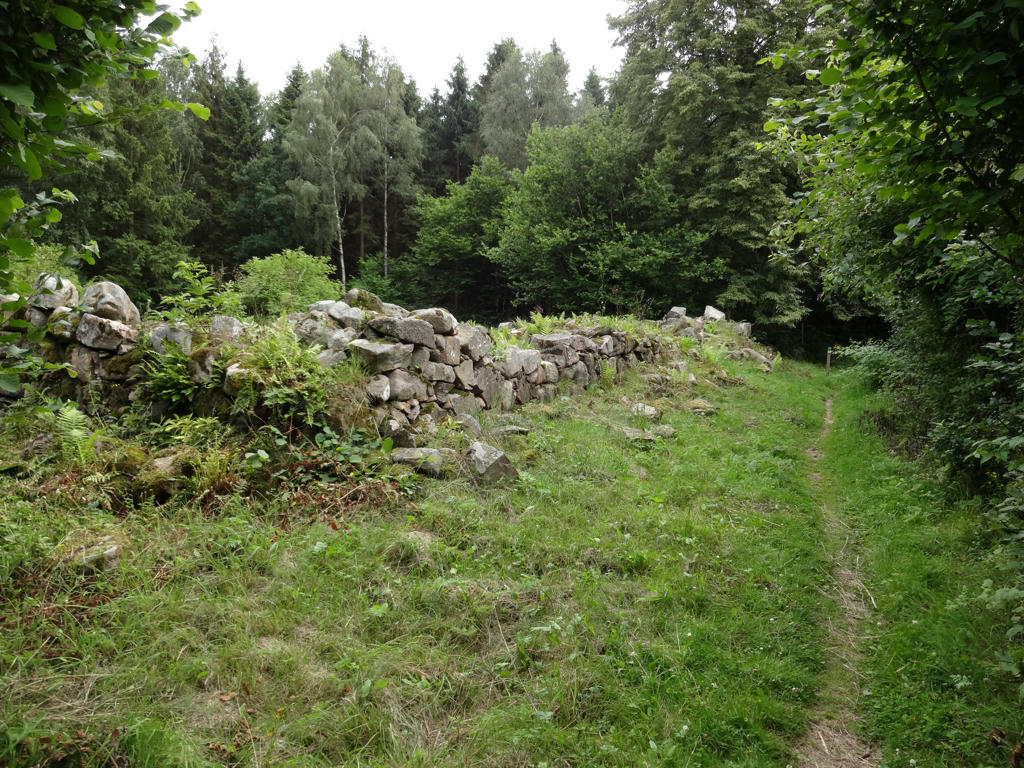
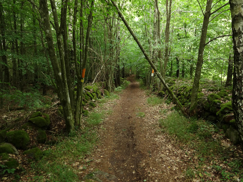
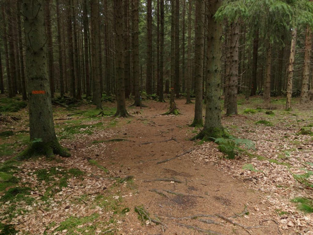
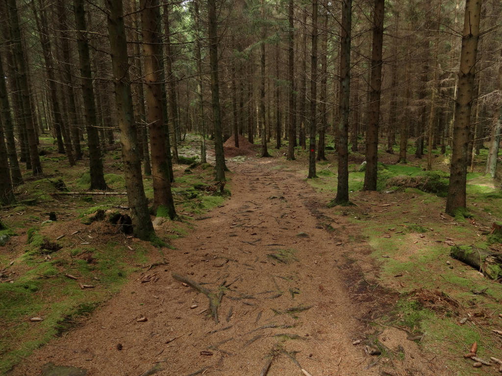
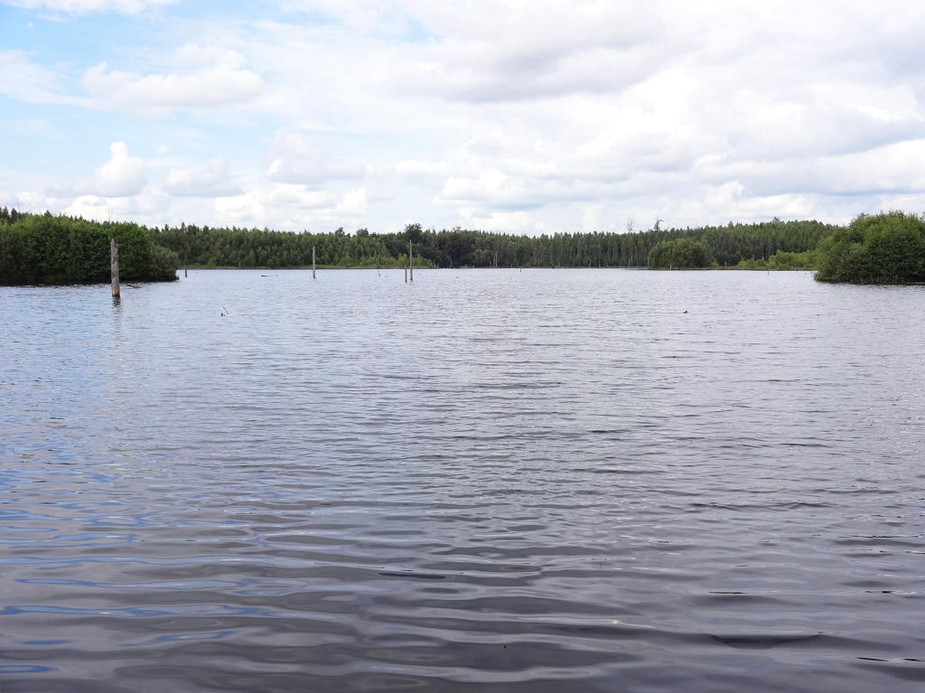
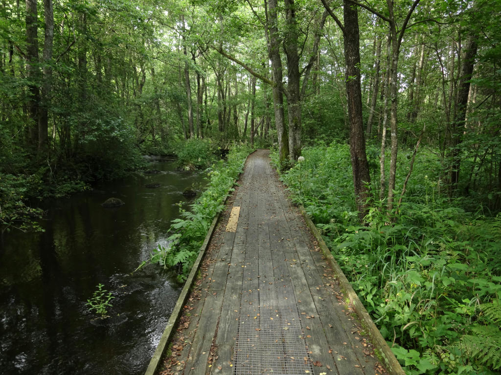
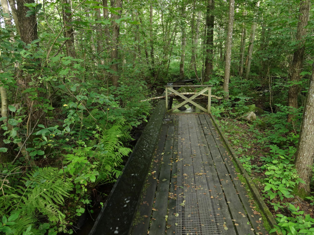
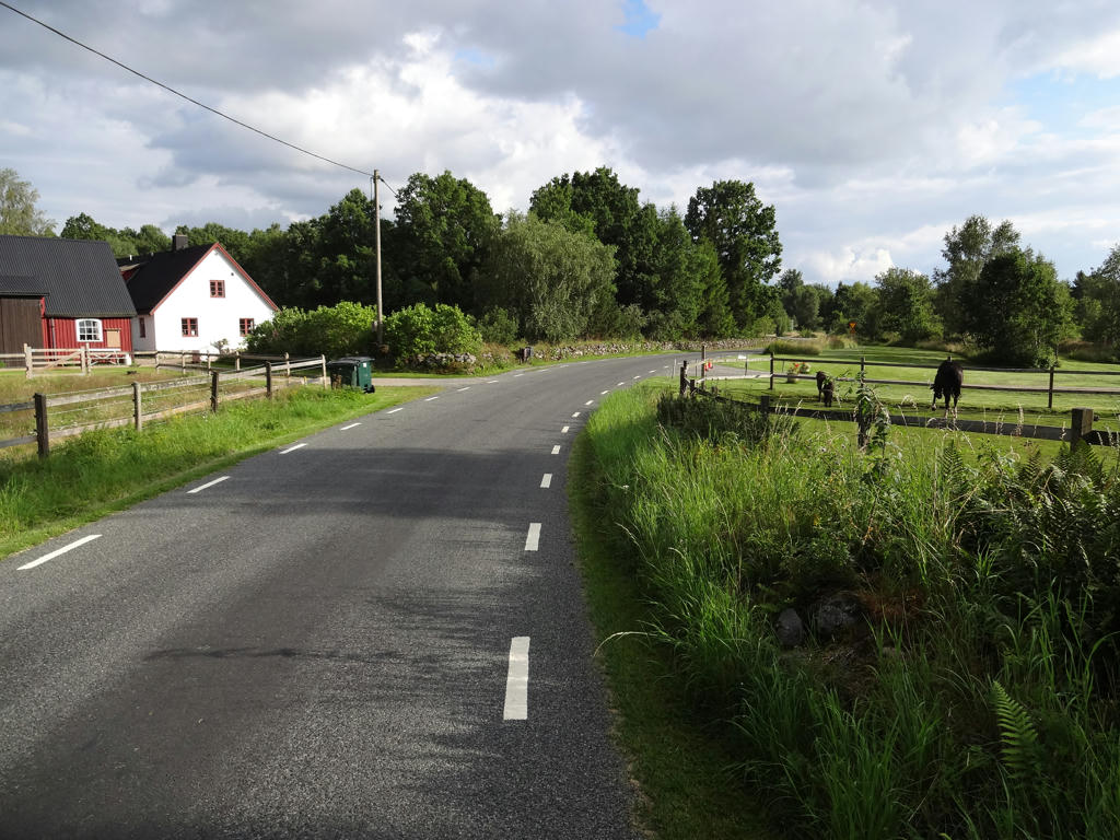
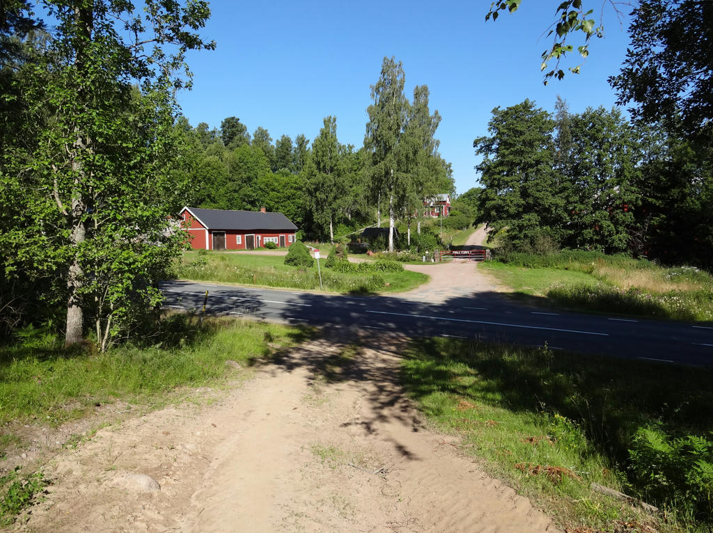
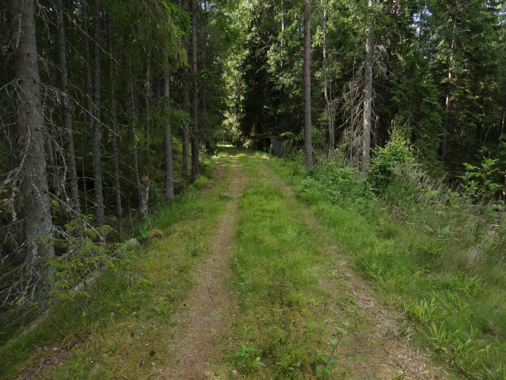
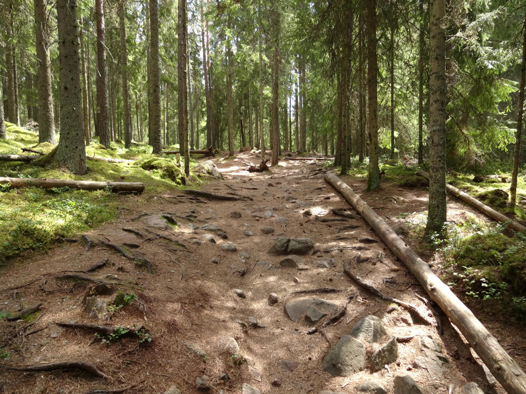
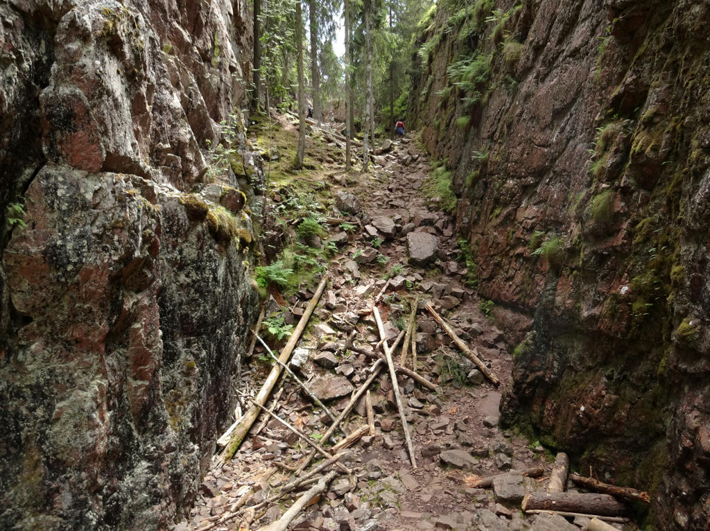
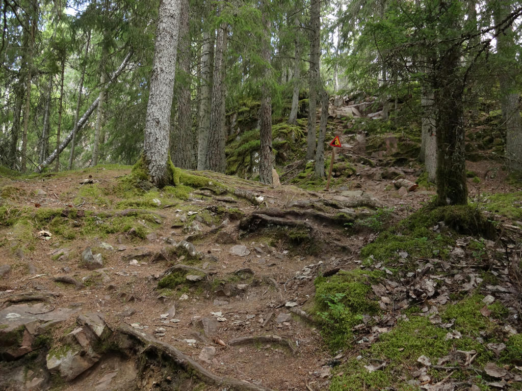
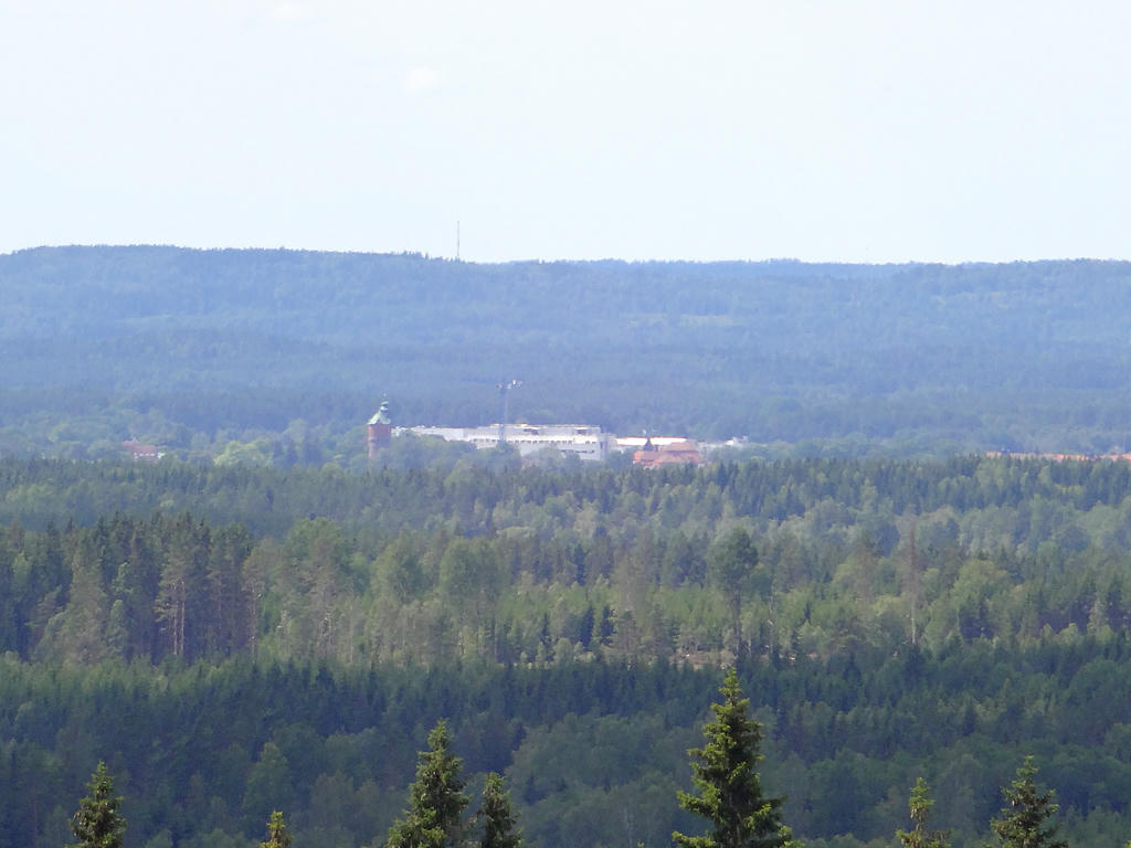
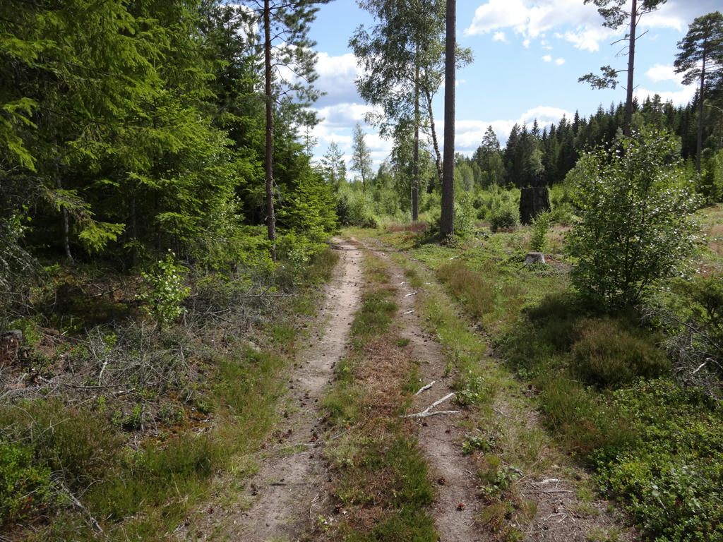
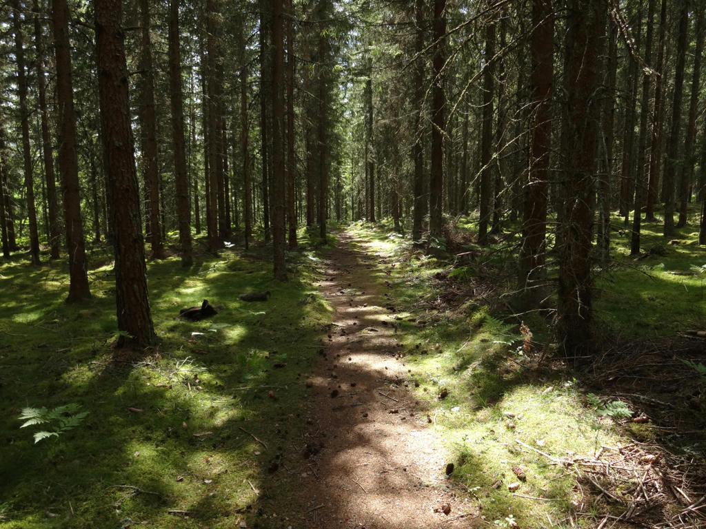
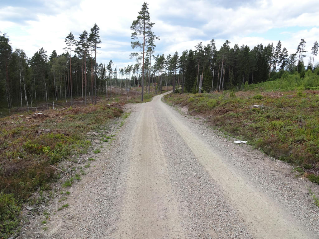
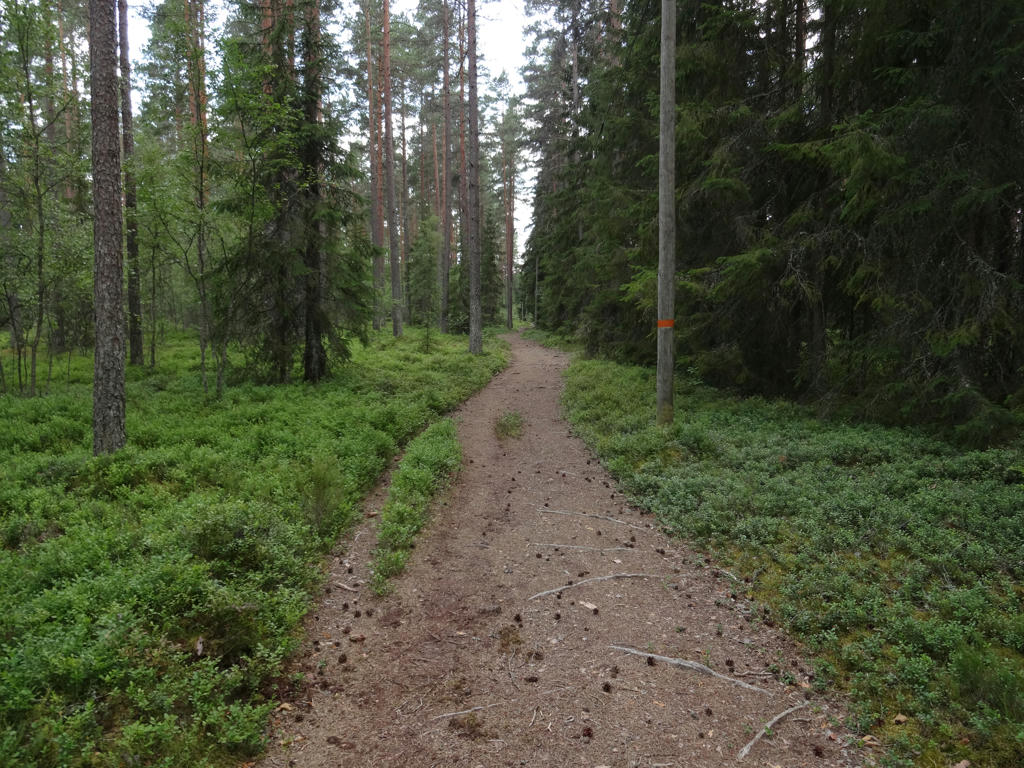
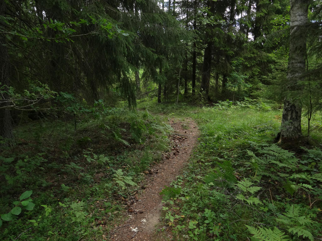
The walk starts of in Löberöd which is a lovely small town with a specific "farm land town" character and then continues through large scale farm land. After that the trail enters Rövarekulan nature reserve which has a beautiful beech forest among other things. The trail continues through large scale farm land, eventually reaching Gudmundstorp. It then enters the beech forest in Pinnedalen. Eventually the trail reaches Östra Ringsjön (which is the next largest lake in Skåne) and it goes through neighborhood areas near the lake. After Ringsjöstrand (which is a resort that includes for instance camping and cabins) the trail continues on a cycle path. The trail goes through a (relatively uninteresting) part of Hörby and then through the Hörby fälad nature reserve. Shortly after that the walk continues through the Fulltofta nature area, which includes both deciduous forests and coniferous forests. Eventually the trail reaches Kvesarumsån and shortly thereafter it reaches Bjävröd where I continued towards the bus stop in Ludvigsborg rather than continuing Skåneleden. Ludvigsborg is a small town south of Höör which is a larger town in comparison.
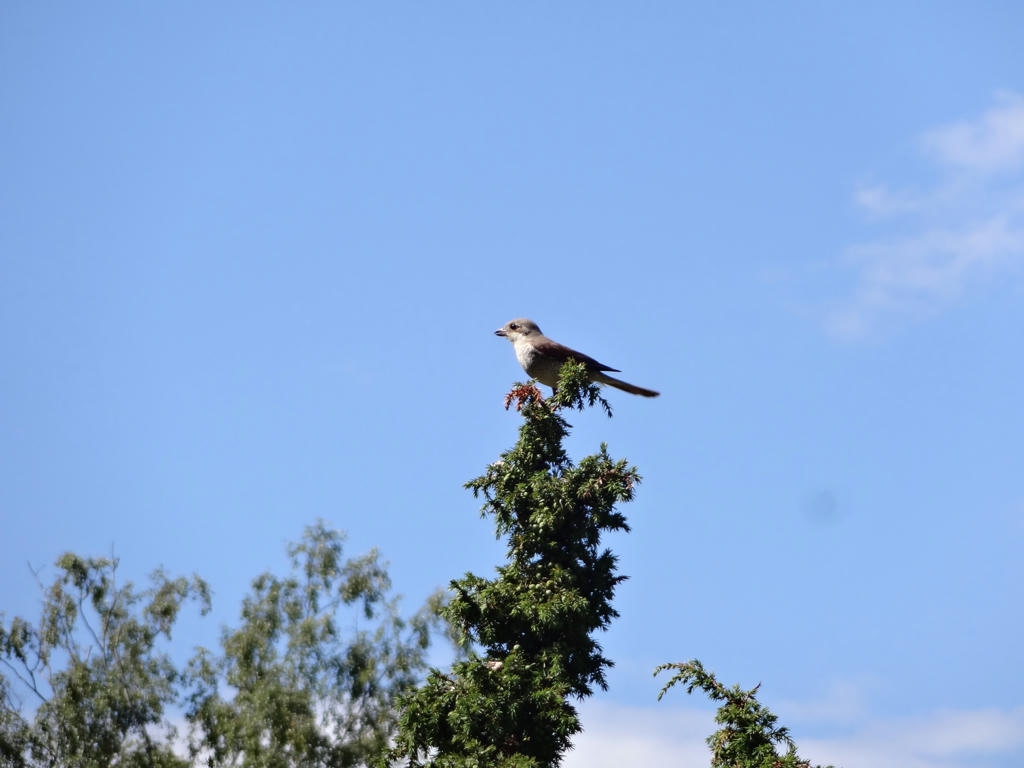
There are a couple of other things to note. Firstly, I managed to get wet shoes shortly before Gudmundstorp as I walked through a field covered with grass. I got even more wet shoes shortly before Östra Ringsjön due to the trail being in bad condition. Another place where the trail was in bad condition was when walking near Östra Ringsjön as the trail was overgrown in one place. In any case, I did change my socks a couple of times and I also put plastic bags on my socks to reduce the effect of my wet shoes. Furthermore it can be noted that I saw one hare and one squirrel but I didn't manage to photograph them.
Enjoy the photos!
1.
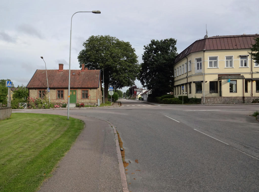
In Löberöd. This is a lovely small town in the middle of Skåne surrounded by farm land. It really feels like some of the small towns in Västra Götaland, for instance Vedum. Rotated the photo slightly and cropped it. Also brightened the photo slightly using the levels tool.
2.
In Löberöd. The house on the right has a style that is quite common in Skåne.
It is however pretty uncommon in the rest of Sweden (as far as I know). It probably has to do with the danish influence in Skåne.
3.

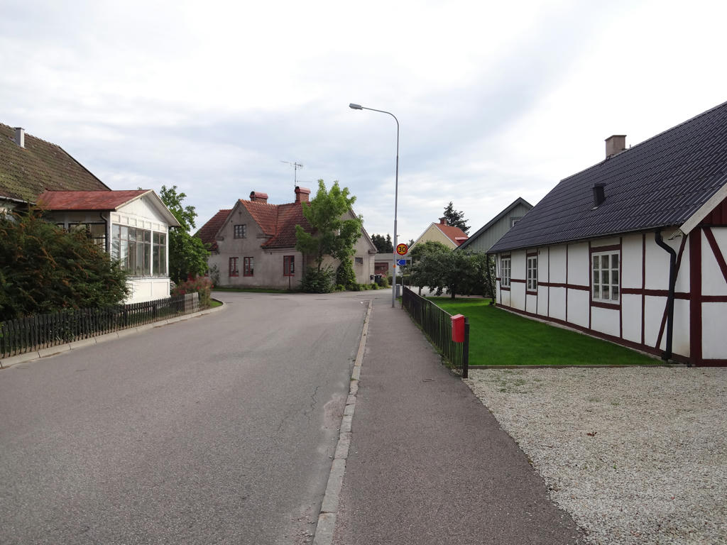
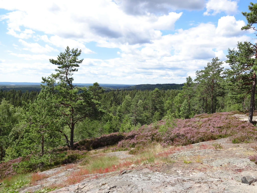
View of the farm land landscape near Löberöd. Brightened the photo slightly using the levels tool. Also rotated the photo slightly and cropped it.
4.
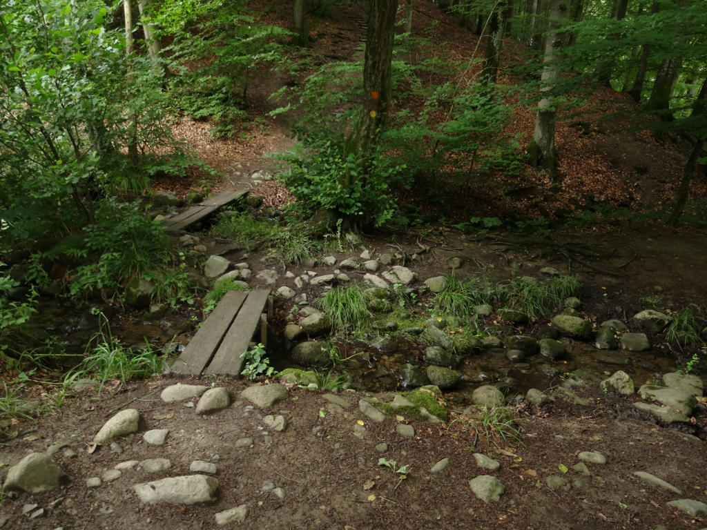
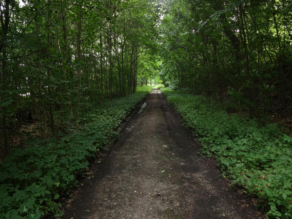
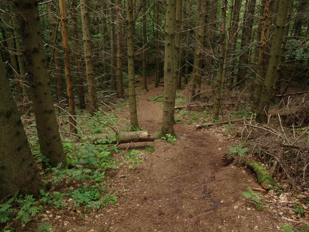
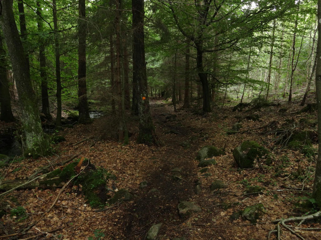
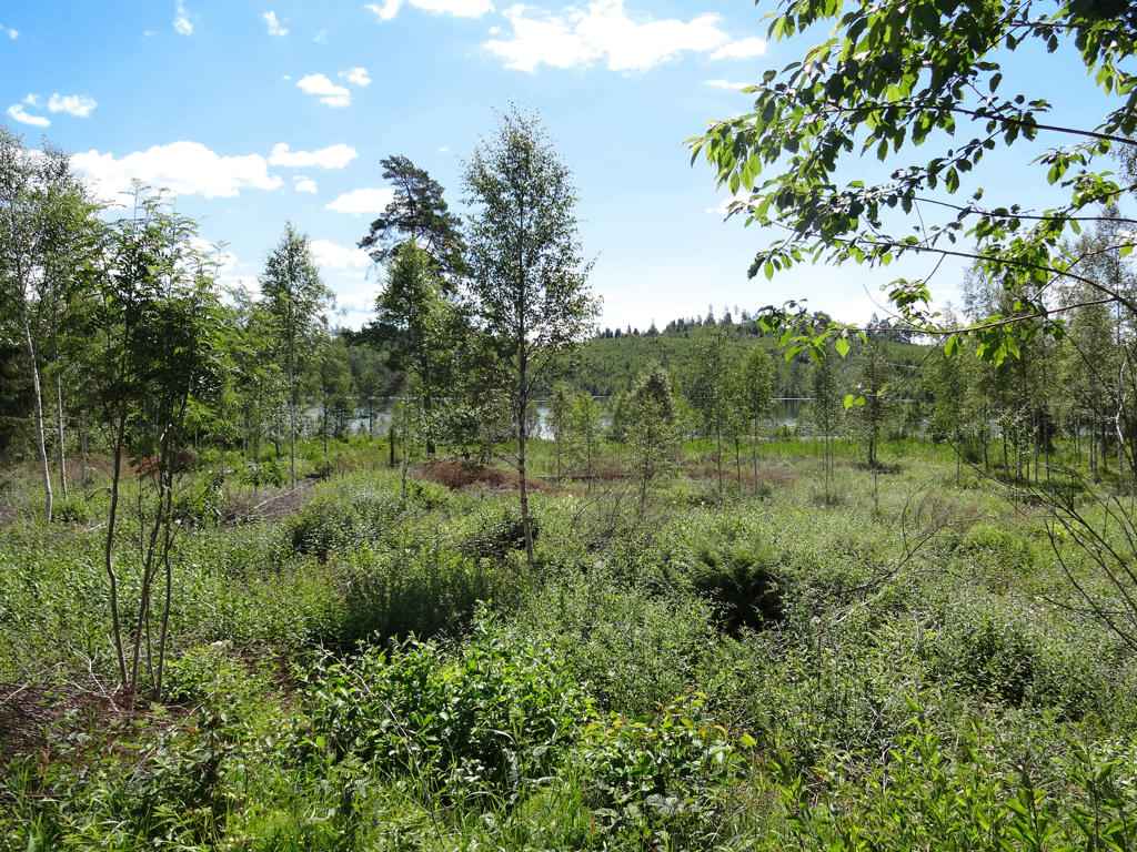
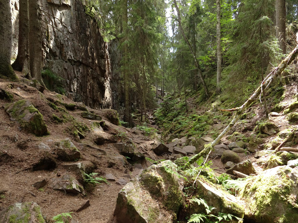
In the Rövarekulan nature reserve. It goes through a very nice beech forest.
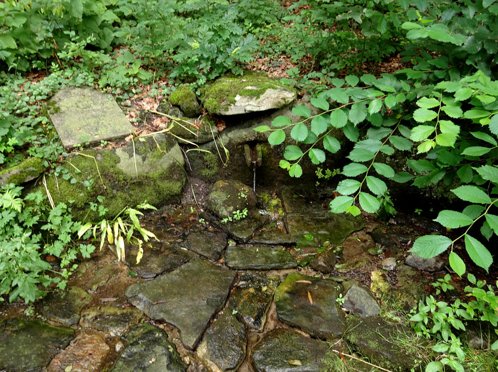
5.
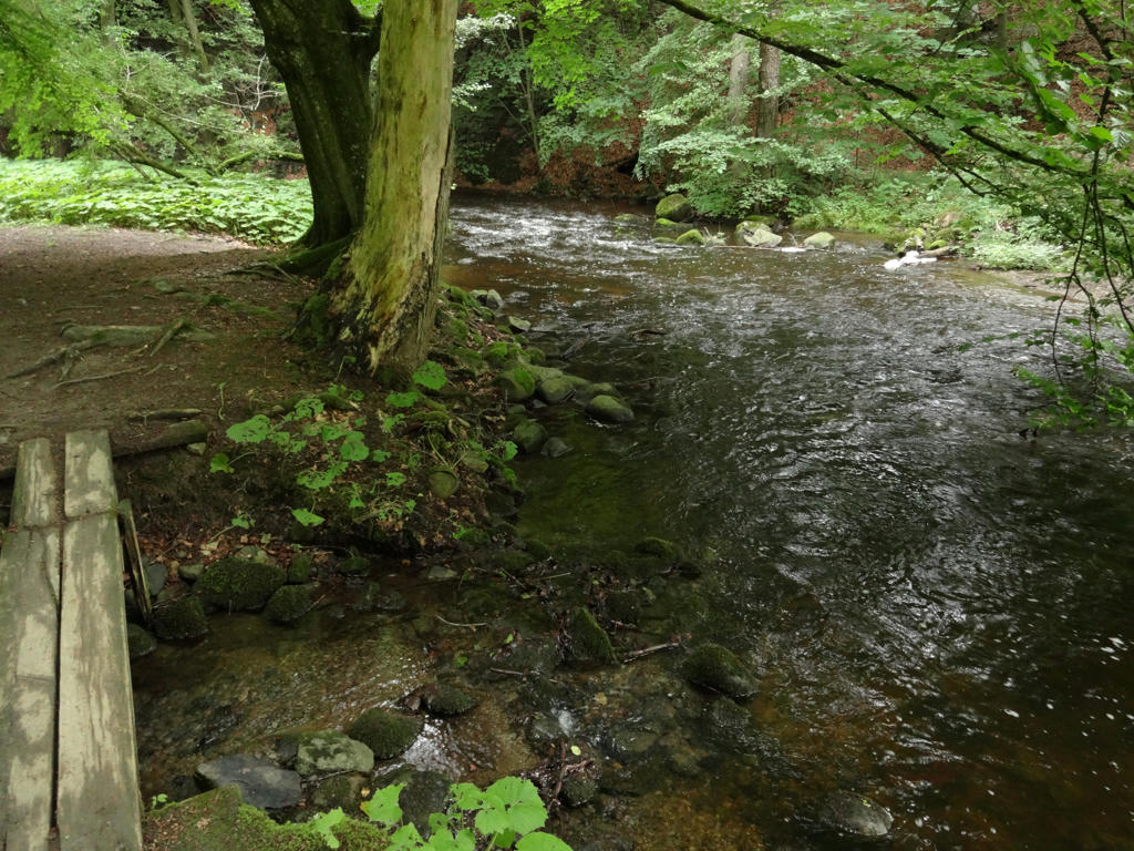
In the Rövarekulan nature reserve. The river Bråån is shown in the photo.
6.
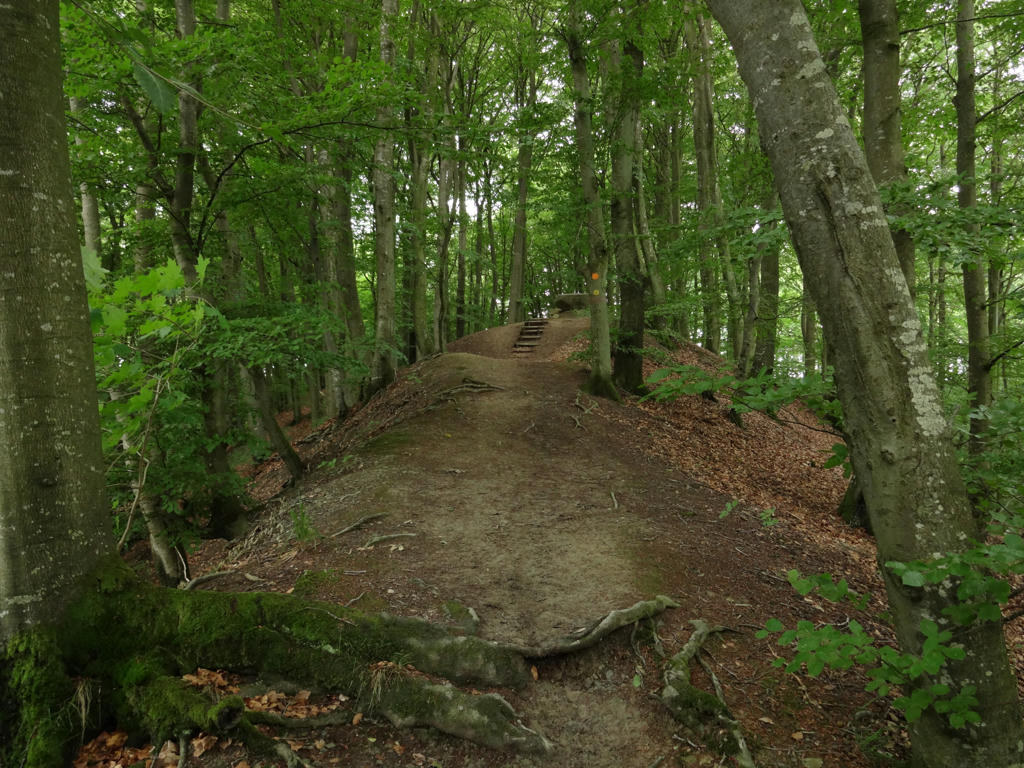
In the Rövarekulan nature reserve.
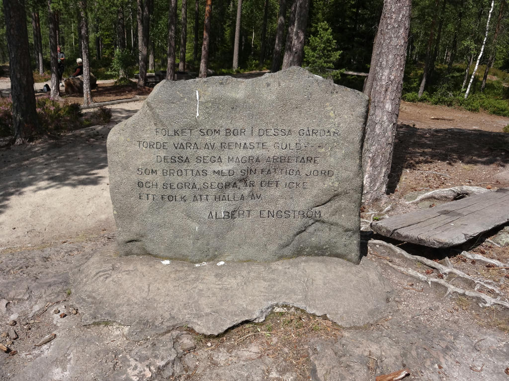
7.
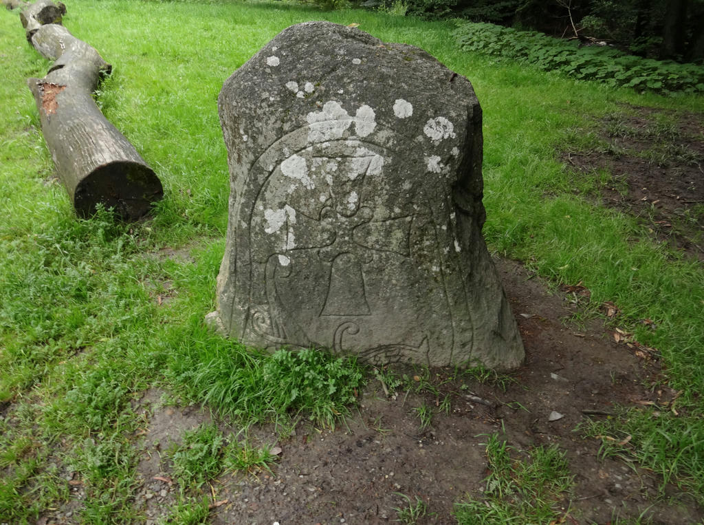
This rune stone is actually not that old, it's from 1844. Rotated the photo slightly and cropped it.
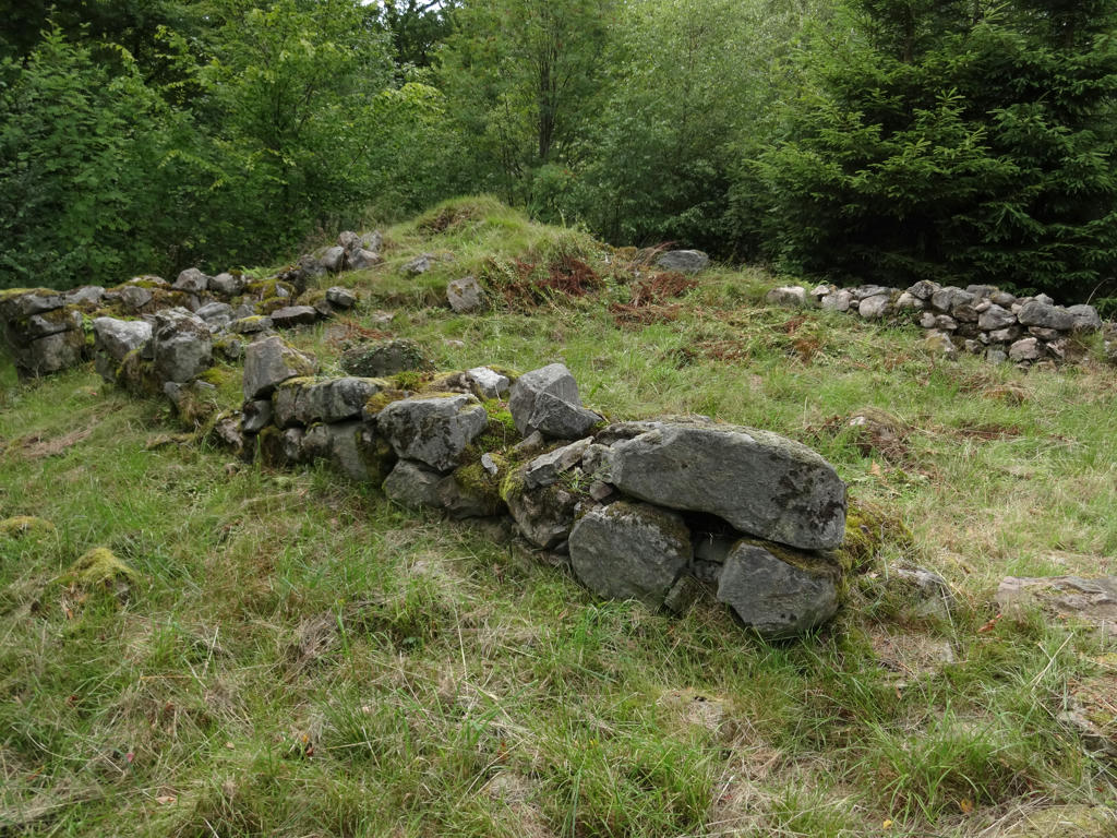
8.
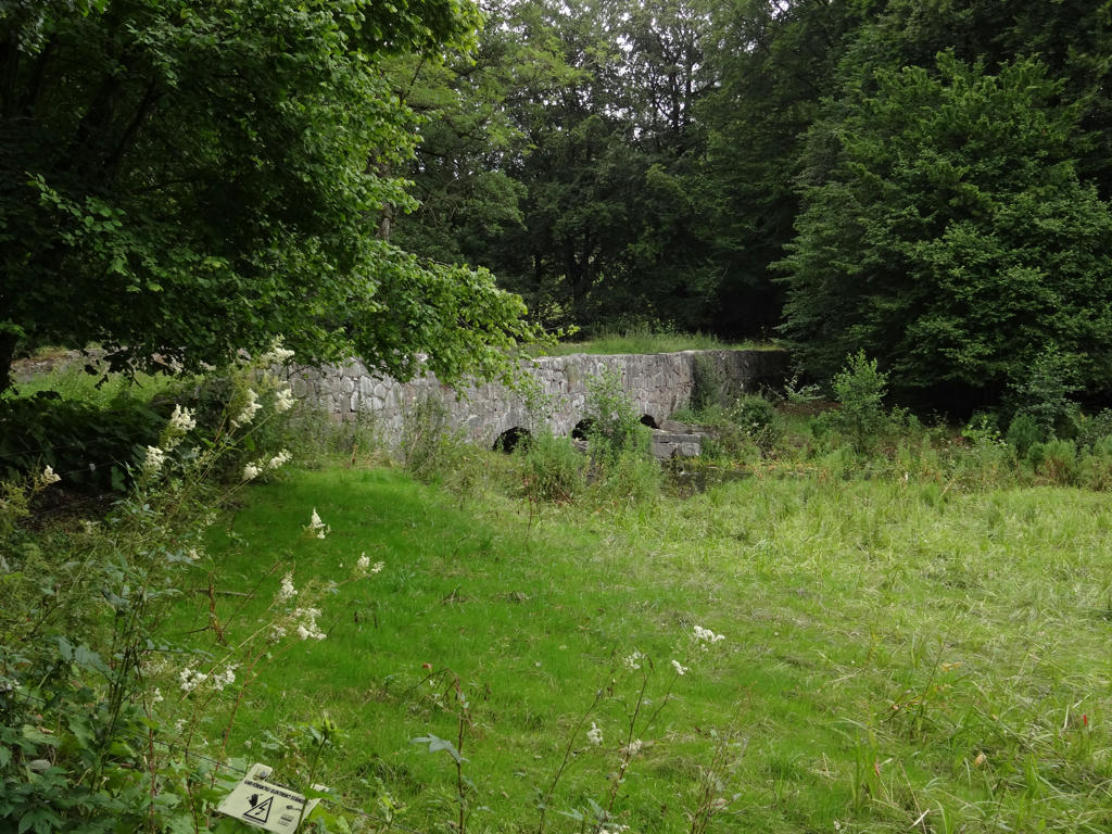
This bridge in the Rövarekulan nature reserve was built in 1870.
9.
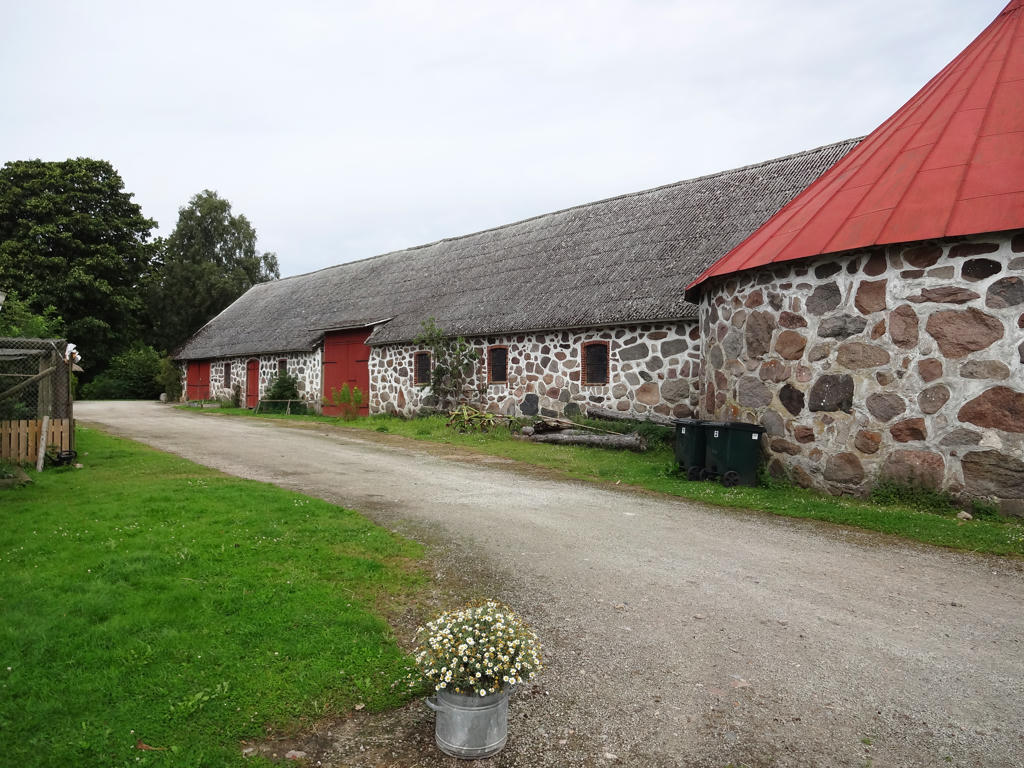
A nice-looking stable. The stables I've previously seen have almost always been made out of wood but this was is made of stone. Maybe this is more common in Skåne compared to other places in Sweden. Used the levels tool to darken the sky slightly and brighten the non-sky parts slightly.
10.
The King's Spring (Kungskällan)
It is said that during king Karl XIV's visit to Gundmundstorp he drank from the spring, which explains the name. Another famous visitor to the spring was the poet Esaias Tegnér. The marble plate commemorates his visit.
Rotated the photo slightly and cropped it. Also darkened the photo slightly using the levels tool. Furthermore I increased the contrast slightly using the brightness-contrast tool. Finally I sharpened the photo slightly using unsharp mask.
11.
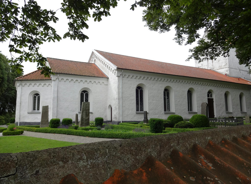
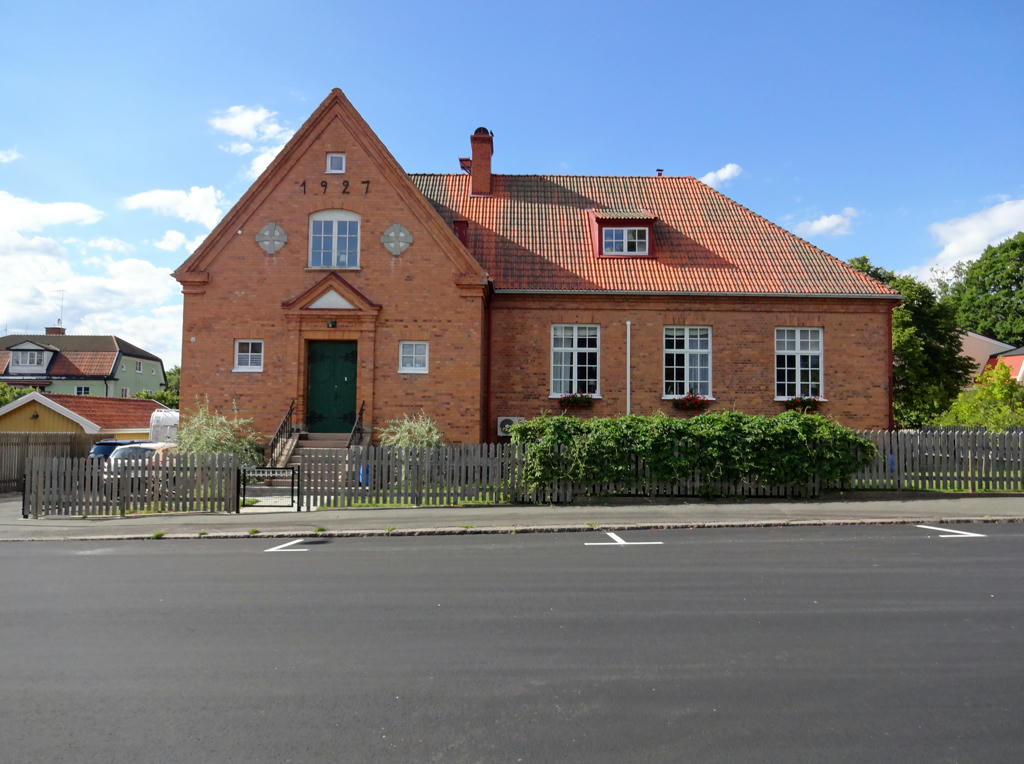
Gudmundtorp's church (Gudmundtorps kyrka). Rotated and cropped the photo.
Also increased the contrast slightly using the brightness-contrast tool.
12.
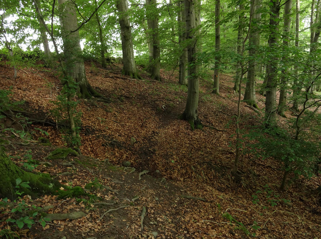
Beech forest in Pinnedalen. Rotated the photo slightly and cropped it. Also sharpened the photo slightly using unsharp mask.
13.
14.
15.
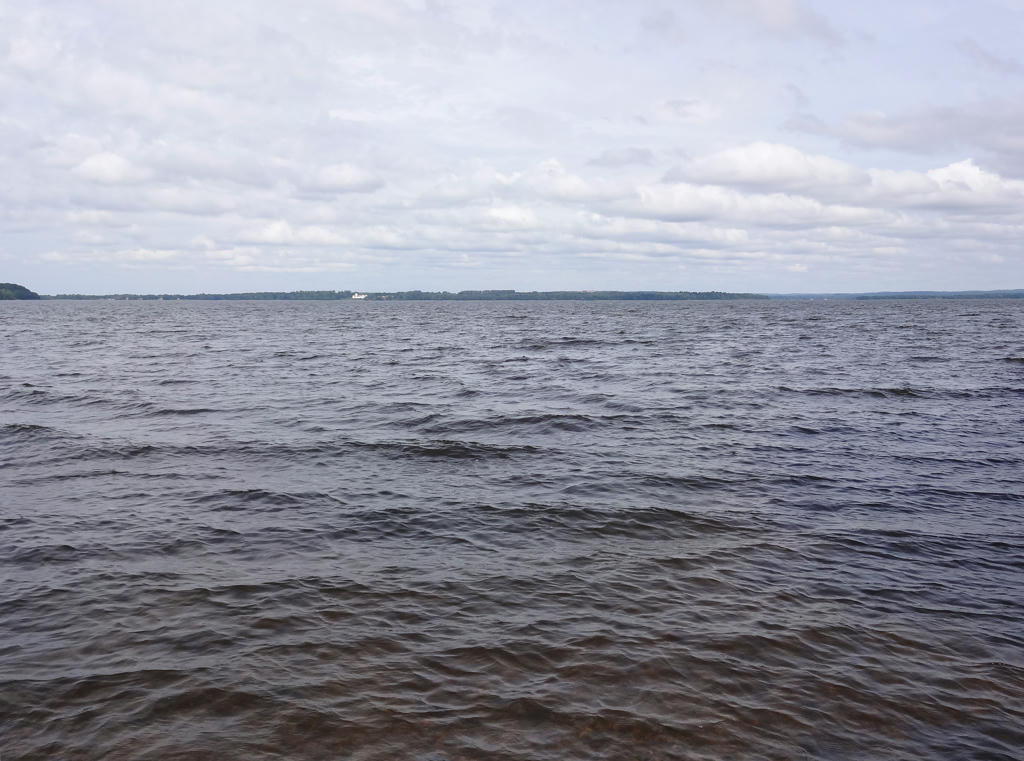
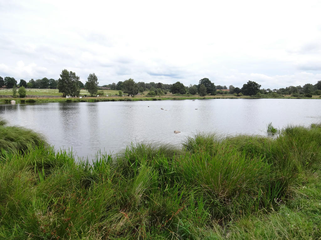
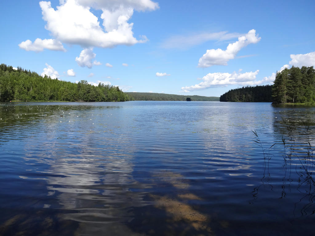
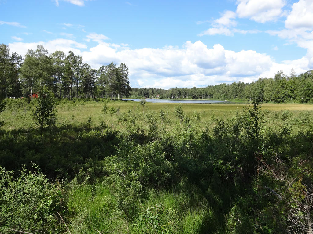
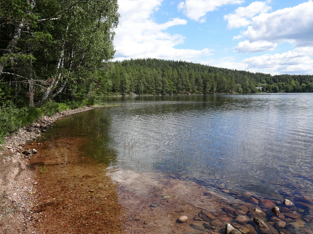
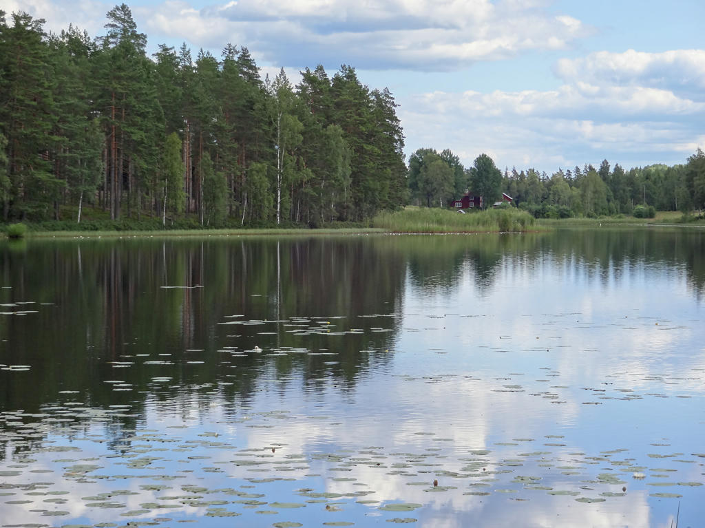
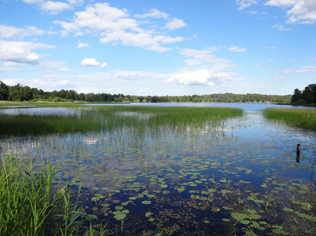
Östra Ringsjön. This is the next largest lake in Skåne. Rotated the photo slightly and cropped it. Also used the levels tool to darken the sky slightly and brighten the non-sky parts slightly.
16.
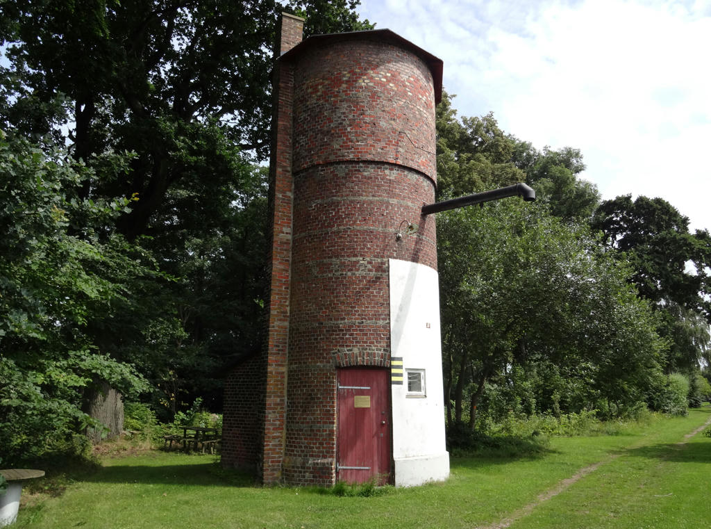
Pump body (pumphus) in Fogdarp
The pump body was built in 1896 and its' task was to provide water for the steam locomotives which frequented the railway line between Hörby and Eslöv. The line was opened in 1897 and the steam locomotive traffic ceased in 1961. The line was frequented by railcars until 1967 when the line was discontinued.
Darkened a segment of the sky slightly using the levels tool. Rotated the photo slightly and cropped it.
17.
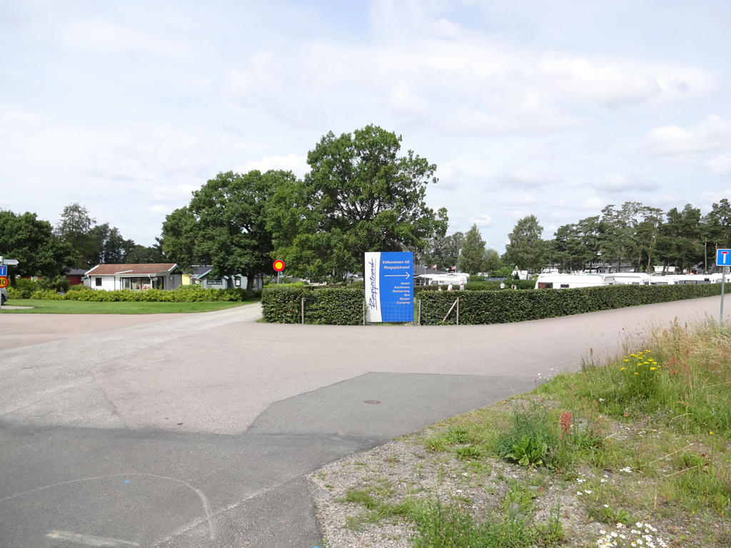
Ringsjöstrand (cabins, camping etc.). Sharpened the photo slightly using unsharp mask. Also increased the contrast slightly using the brightness-contrast tool.
18.
19.
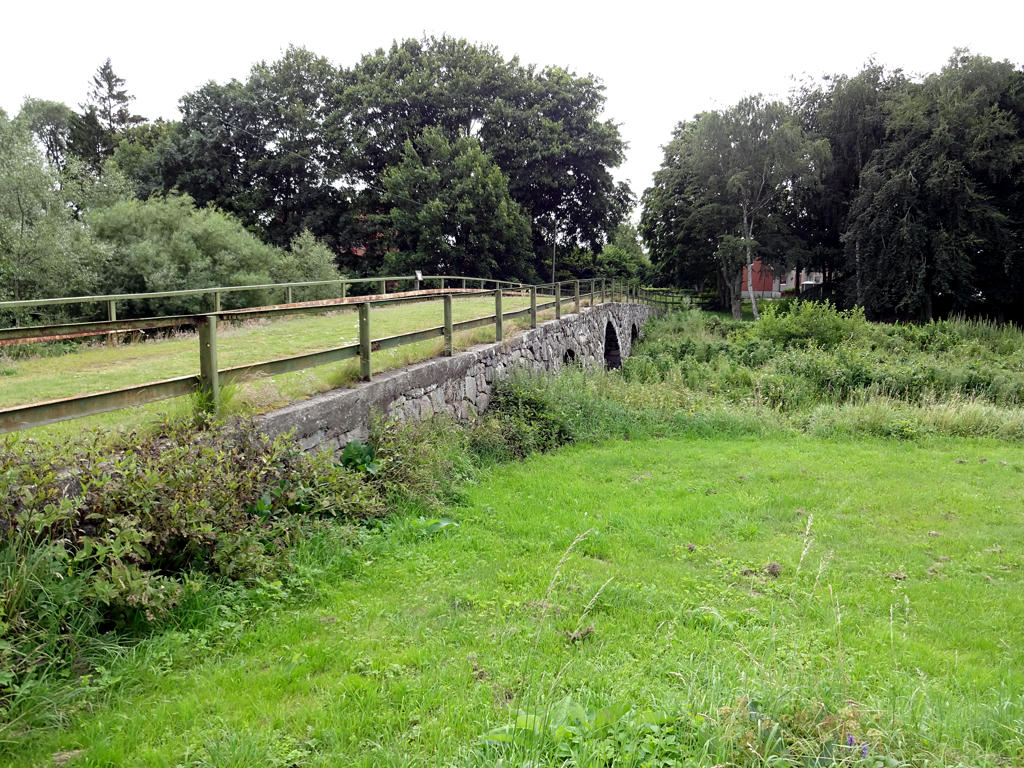
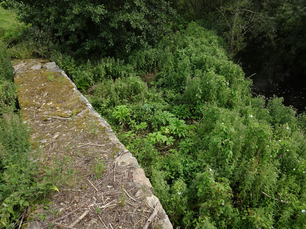
Stone arch bridge in Osbyholm
This well-built bridge made of chiseled greystone was constructed sometime before 1890. The bridge was used until 1952 when the section of the road was re-built.
Equalized the histogram. Then I increased the contrast slightly using the brightness-contrast tool. Finally I sharpened the photo slightly using unsharp mask.
20.
This is one of the four places in Skåne where I saw giant hogweed. As I've mentioned in some previous blog posts: By touching giant hogweed you can get severe burns that last for years and get worse with sunlight exposure. Brightened the photo slightly using the levels tool. Also sharpened the photo slightly using unsharp mask. The river in the background is Hörbyån.
21.
Lake in the Hörby fälad nature reserve. Rotated the photo slightly and cropped it. Also used the curves tool to darken the sky slightly. Finally I brightened the non-sky parts slightly using the levels tool.
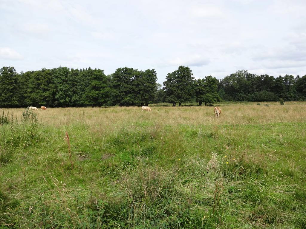
22.
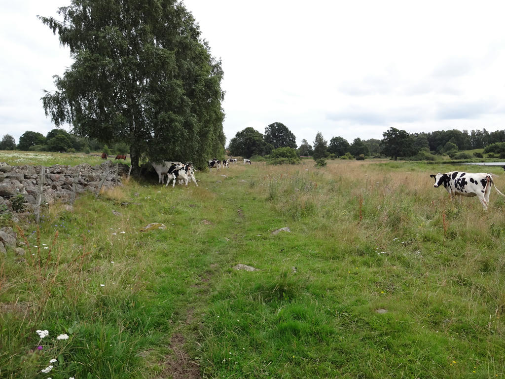
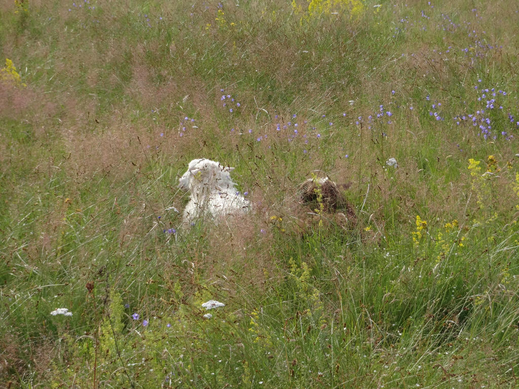
Grazing cattle in the Hörby fälad nature reserve.
23.
24.
Kulleröd. Increased the contrast slightly using the brightness-contrast tool.
25.
Sharpened the photo slightly using unsharp mask.
26.
27.
28.
29.
Rotated the photo slightly and cropped it. Also used the levels tool to darken the sky slightly and brighten the non-sky parts slightly.
30.
31.
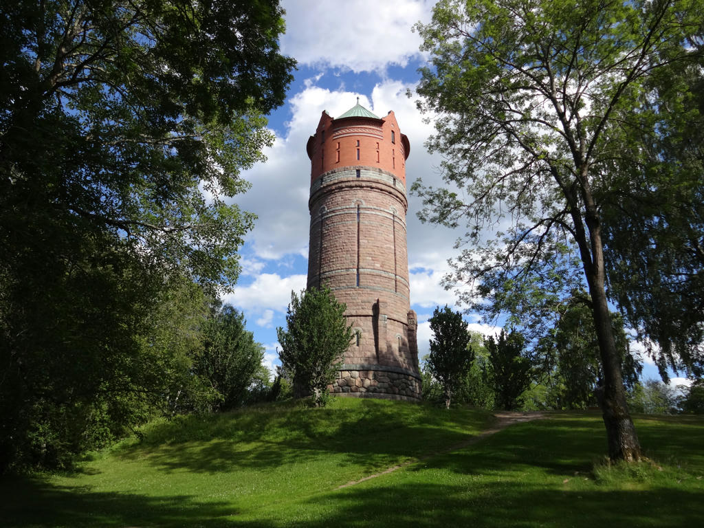
Vasahus. Sharpened the photo slightly using unsharp mask.
32.
Rotated the photo slightly and cropped it. Also sharpened the photo slightly using unsharp mask.
33.
Rotated the photo slightly and cropped it. Also sharpened the photo slightly using unsharp mask.
34.
35.
"In Swedish streams many vulnerable and endangered species exist that, in many aspects, are dependent on good water quality. Species that live their entire life in the stream are especially vulnerable to pollution, mills and power plants creating fluctuating water levels and obstructing migrations for fish and benthic fauna. Here in Kvesarumsån several mills closed the path for migrating trout for centuries. In 2003 several fishways were constructed by funding from Region Skåne and Länsstyrelsen. Now trout can migrate from Kvesarumsån up into Kvesarumssjön as well as down to Ringsjön."
36.
37.
38.
On my way to Ludvigsborg.
39.
At the bus stop in Ludvigsborg.