There is public transport (with train) to Hestra but from Åsafors (or anywhere nearby) there is no public transport. So, my original plan was to hitchhike to Skillingaryd where there is a bus going to Jönköping and in Jönköping there are trains. This was obviously a risky idea and it actually almost failed (it did fail entirely during Västra Vätterleden Walk #8 between Hjo and Tibro). However, in the morning I checked the website for Jonköpings Länstrafik (the public transport company in Jönköping County) and what I noticed was that there seemed to be local traffic (local traffic is basically a form of extended public transport which allows you to pay a relatively cheap price to get a transport to the nearest town (in this case it would be to Skillingaryd) since it's subsidized by the public transport company (which is at least partially tax funded)) available in the same way that it's available through Västtrafik in the Västra Götaland County. However, what I missed was that unlike in the case of Västtrafik, Jönköping Länstrafik only offers this service if you live in the county (which I don't). I learned this the hard way by calling them about 1h before I hoped to use the local traffic service (you have to call at least 1h before). Well, in the morning I got hopeful that the local traffic services would enable be to walk to the rest of the parts of Höglandsleden I wanted to walk (see here for more details) and after this phone call that hope got crushed (I did finish these parts of Höglandsleden eventually but I had to rely on my mother driving me to certain places). So after all I needed to return the hitchhiking strategy.
However, hitchhiking turned out to be quite difficult in this situation. Once I reached Åsafors I tried hitchhiking for 2h36mins but failed. First off there were relatively few cars going by and secondly no one wanted to stop and give me a ride. Well, it became more and more urgent to make it on time for the last bus from Skillingaryd to Jönköping at 20:50 (it was 18:40 by now) and so I started walking in the direction of Skillingaryd. The distance from Åsafors to Skillingaryd is about 14km and there was no real chance to make it on time by just walking so while I was walking I also tried to hitchhike. After 1h2mins I managed to hitchhike (I had walked a distance of about 5km from Åsafors by that point). A man from Ålaryd (an electrician if I'm not mistaken) who was going in the direction of Vaggeryd drove me to Skillingaryd. The funny thing is that I would have not encountered him if I hadn't walked in the direction of Skillingaryd since I wouldn't have passed the crossing in Nyholm that goes to Ålaryd. In any case I arrived in Skillingaryd a bit less than 1h before the last bus to Jönköping. In Jönköping I took the train to Falköping and from there I took the train back home to Göteborg.
But why didn't I walk in the direction of Skillingaryd earlier? Well, first off I had already walked 28.7km to reach Åsafors and I hoped that I wouldn't have to walk more. But more importantly, I had very wet shoes (I already got wet shoes shortly before I reached Nissafors bruk (Nissafors works) since I had to walk on wet grass). I usually have extra socks in my backpack but this time I didn't have any left and I forgot to refill. Walking with wet shoes (wet socks especially) is quite unpleasant and usually leads to abrasions and blisters (which certainly was the case after this walk, my feet weren't in good shape afterwards). Another alternative I considered was to continue walking Höglandsleden and then walk to another bus stop located southwest of Åsafors. I would then add about 11.2km of the Höglandsleden trail and a further 4.4km to reach that bus stop. In total the walk would have been 44.2km. However, I would have had about 4.5h to walk about 15.6km more and I'm not sure I would have managed, especially not with wet shoes. In either case I wouldn't have time to wait in Åsafors at all and I obviously didn't expect the hitchhiking from Åsafors to fail. Oh well, some mistakes were done in the planning of this walk.
In any case, the walk was about in total about 33.7km (28.7km from Hestra to Åsafors and then 5km extra in the direction of Skillingaryd). In total I walked for 9h23mins and my average speed was thus 3.59km/h. This was a relatively slow average speed considering that the walk went for the most part on gravel or tractor roads and the last 5km went on an asphalt road. However, once again I didn't want to rush it and I spent plenty of time on taking photos. I mainly sped up my walking between Granstorp and Åsafors since there weren't as many interesting things on the path (mostly gravel roads in a somewhat generic forestry region) and also when walking on the asphalt road in the direction of Skillingaryd (not really any reason to walk slow there considering there wasn't much to see and considering that I was in a hurry).
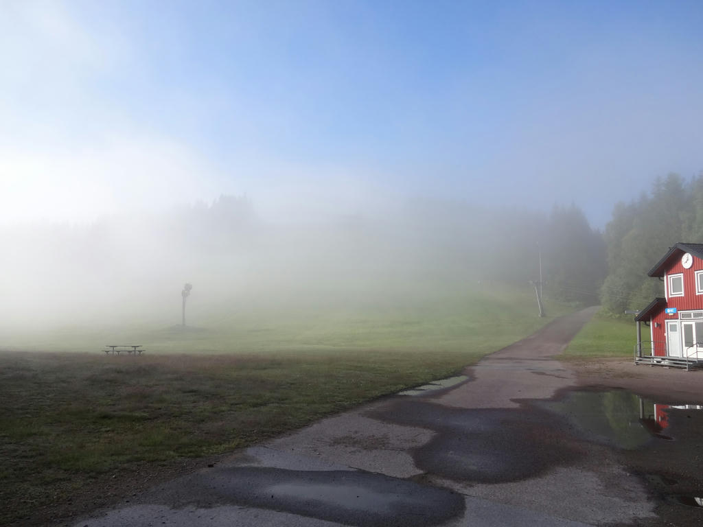
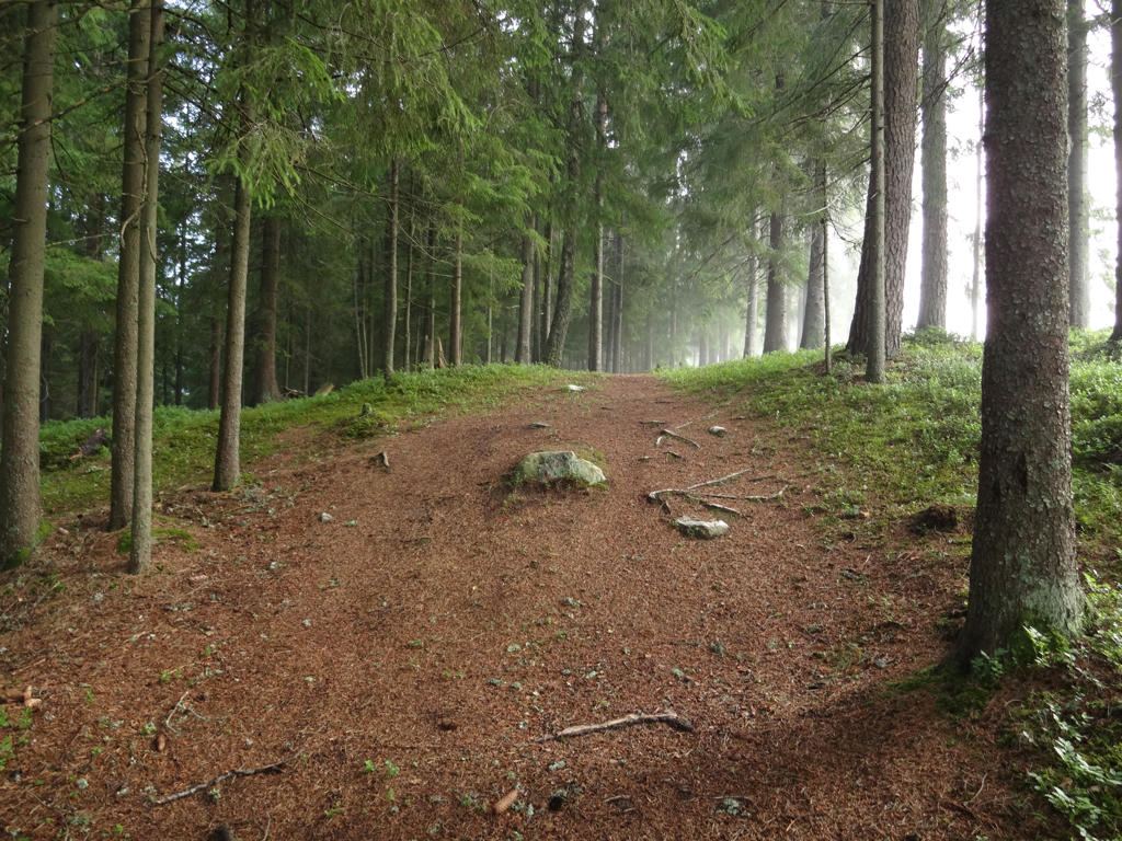
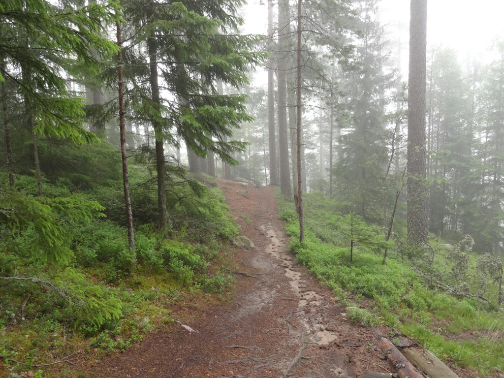
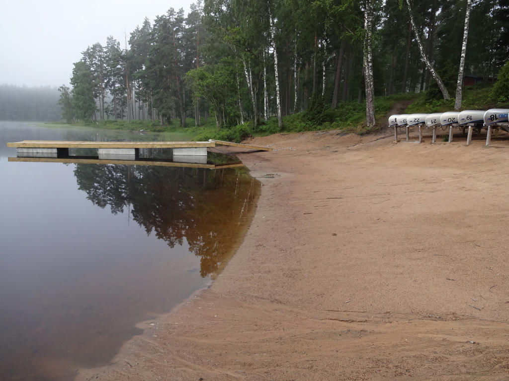
In any case, it wasn't all bad. In fact except for the troubles at the end of the walk it was a really interesting walk going through beautiful areas. I wouldn't say it was as interesting as the Höglandsleden Walk between Skillingaryd and Hok as parts of the walk goes on relatively uninteresting gravel roads in the woods (which I've hinted at above) but it comes close. I started off the walk at the train stop in Hestra at 07:43 and it was quite misty in the morning, which was nice since it added to the atmosphere. I then walked about 2km through the Isaberg mountain resort area to reach the start of Järnbärarleden (technically Järnbärarleden is not part of Höglandsleden but rather a trail connecting Gislavedsleden with Höglandsleden, as explained here). I then walked about 10.1km of Järnbärarleden to Kärringabacka where Höglandsleden begins. This part of the walk includes interesting parts such as Algustorpasjön, Ettö nature reserve, the river Nissan, Nissafors bruk and Kärringabacka. Already when walking this part the mist cleared up and it got more sunny and also warmer. Then I walked 16.5km of Höglandsleden to reach Åsafors. Some of the main highlights of this part are the three connected lakes Kramphultasjön, Ekhultasjön and Östersjön, the Ekhult and Granstorp villages and also the Gärdessjön and Kolasjön lakes. As I walked this part it got more and more cloudy. The final segment (which includes the 0.1km to the asphalt road near Åsafors and then 5km of walking on the asphalt road) was not very interesting (then again it wasn't supposed to be part of the walk). In general it can also be noted that I was quite lucky in seeing many animals: 4 squirrels (although I only managed to take photos of 2 of them), 1 hare and a group of Canada geese. Enjoy the photos!
1.
Isaberg
2.
Isaberg
3.
Isaberg
4.
Beach at Algustorpasjön
5.
6.
View from another beach at Algustorpasjön. Rotated the photo slightly and cropped it. Also sharpened the photo slightly using unsharp mask. Finally I increased the contrast slightly using the brightness-contrast tool.
7.
Ettö nature reserve
"Ettö is a peninsula in Lake Algustatorp and forms part of a delta that was created when the ice retreated after the last ice age. The melt water torrents carried sand from the melting glacier, creating the delta and Ettö peninsula. This process is still continuing today, but now it is sand from the River Nissan that is carried into the lake.
On Ettö you can see a traditional cultivated landscape made up of grazed pastureland and hay meadows, as well as areas of broadleaved woodland and mixed woodland dominated by Scots pine. The reserve is home to many interesting flowers and wading birds. The lake itself is also interesting, as it is home to a native colony of salmon trout.
Grazing animals are important for flora
The old meadows, which were formerly harvested using scythes, are now grazed. In the north are lakeside meadows and beech pasture with lots of juniper brushes. Many plants thrive in the well-grazed pastures. On the drier ground grow mountain everlasting, arnica and Breckland thyme, and in the damper areas grow marsh gentian and mat-grass. Resting seabirds interrupt their migration here to seek food in the lake.
How we look after the reserve
The open areas are grazed and thinned. Bushes are cleared along the grazed lakeside to benefit wading birds. These measures are taken so that you can experience the traditional cultivated landscape. The woodlands are managed with great respect for the environment. The aim is that there should be more dead trees throughout the reserve. Trees that are felled by the wind, for example, will therefore be left in place. This will benefit wood-dwelling insects, fungi and birds.
Explore the reserve
In the farmed part of the reserve there are several beaten paths that make it easy to get around. The Ettöleden Way also runs through the coniferous forest."
Used the hue restorer plug-in to reduce the cyan-ish sky color. Also darkened the sky using the levels tool.
8.
Nissan. Darkened the sky slightly using the levels tool. For the non-sky parts I slightly increased the contrast using the brightness-contrast tool.
9.
"Nissafors Bruk 1725-1905
Iron was produced here at Nissafors Bruk from 1725 until 1906. Nissafors Bruk was the largest iron works in the county of Jönköping, and provided work for a large number of people within a large area, especially farmers who managed all transportation of goods, and not least the production of charcoal, large quantities of which were required to melt the iron ore."
Iron was produced here at Nissafors Bruk from 1725 until 1906. Nissafors Bruk was the largest iron works in the county of Jönköping, and provided work for a large number of people within a large area, especially farmers who managed all transportation of goods, and not least the production of charcoal, large quantities of which were required to melt the iron ore."
10.
Nissan
11.
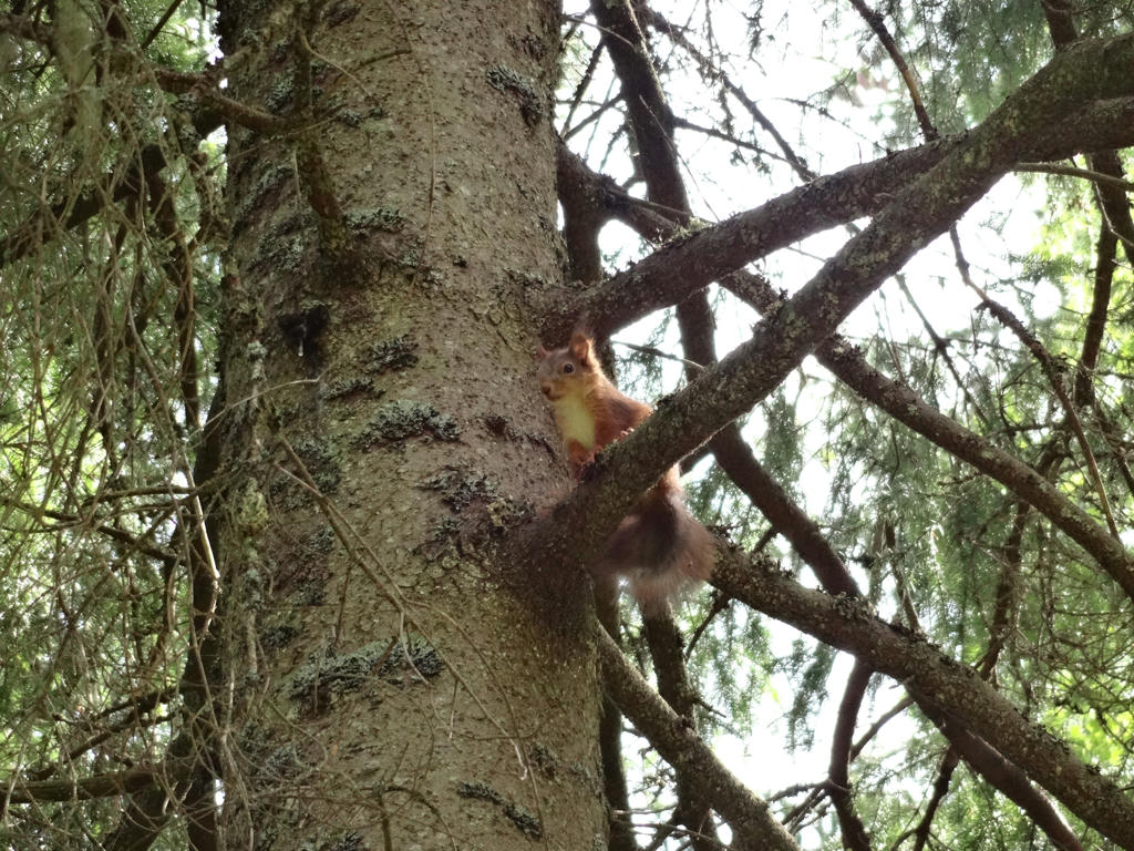
Squirrel. Despeckled the photo and then I sharpened slightly it using unsharp mask.
12.
13.
Mellansjön. Slightly decreased the contrast for the photo using the brightness-contrast tool. I also rotated the photo slightly and cropped it. Finally I sharpened the photo slightly using unsharp mask.
14.
Kärringabackarna. Sharpened the photo slightly using unsharp mask.
15.
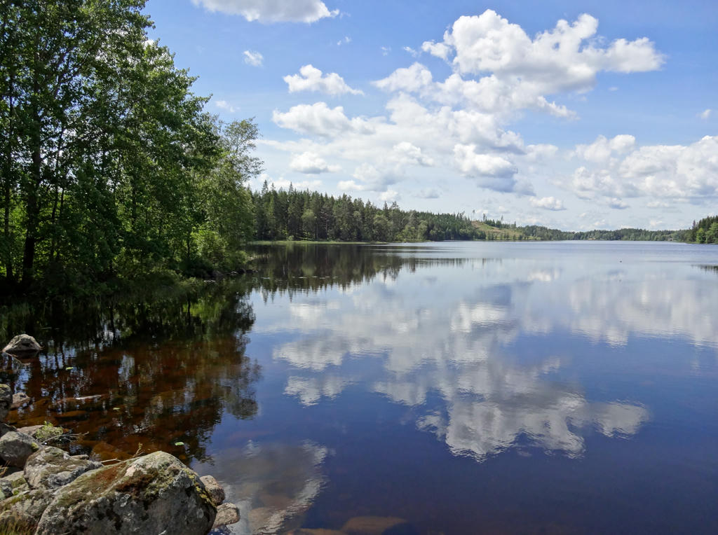
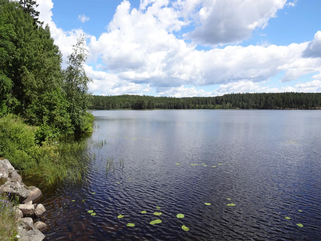
Kramphultasjön. Rotated the photo slightly and cropped it.
16.
17.
Ekhultasjön. Rotated the photo slightly and cropped it. Also increased the contrast slightly using the brightness-contrast tool.
18.
Östersjön
19.
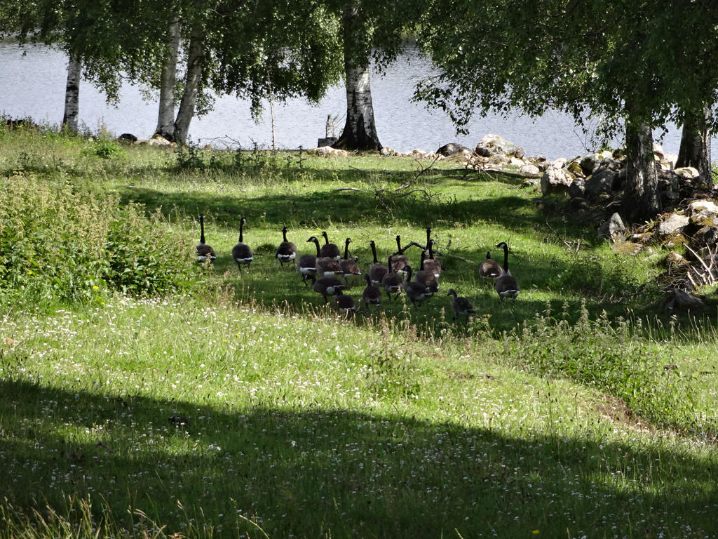
Canada geese. Sharpened the photo slightly using unsharp mask.
20.
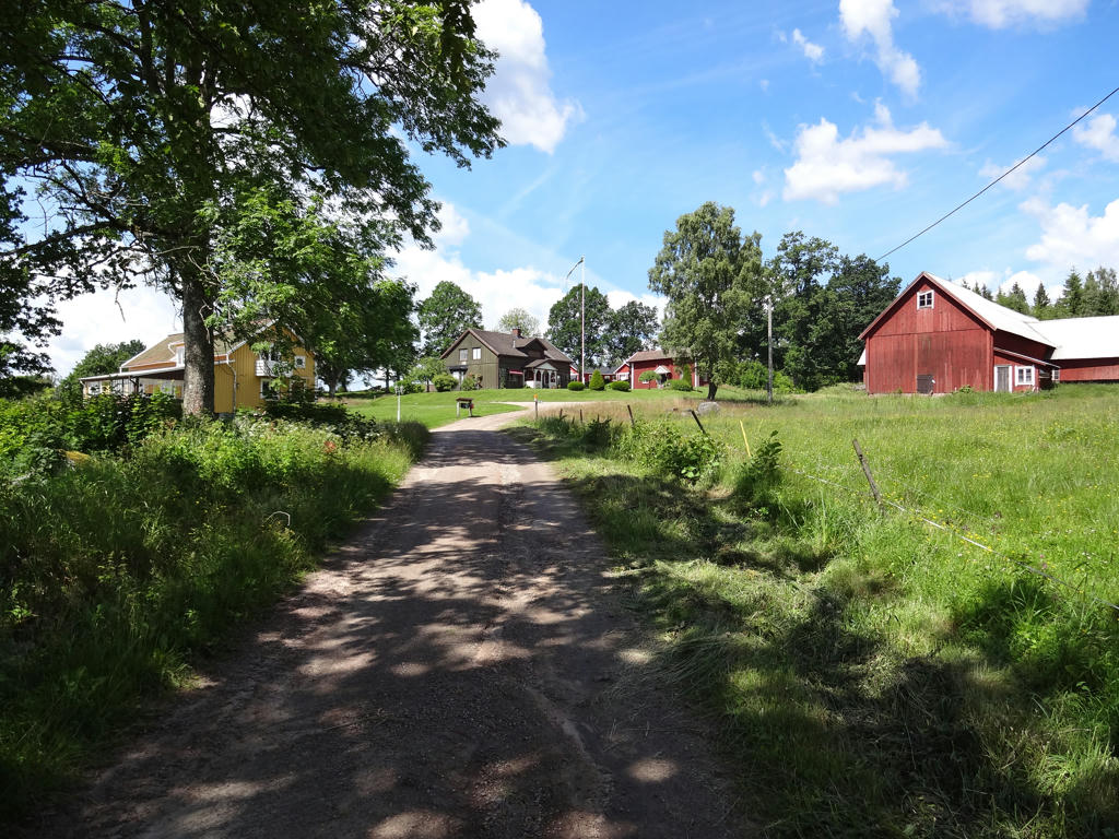
Ekhult. Used the hue restorer plug-in to reduce the cyan-ish sky color. Also darkened the sky using the levels tool.
21.
22.
Saras mosse. Sharpened the photo slightly using unsharp mask. Also increased the contrast slightly using the brightness-contrast tool.
23.
24.
Used the hue restorer plug-in to reduce the cyan-ish sky color. Also darkened the sky using the levels tool. Finally I increased the contrast for the non-sky parts slightly using the brightness-contrast tool.
25.
26.
Granstorp
27.
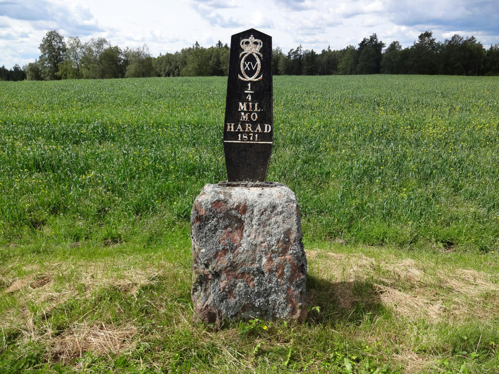
An old milestone.
28.
Gärdessjön. Rotated the photo slightly and cropped it. Also increased the contrast slightly using the brightness-contrast tool.
29.
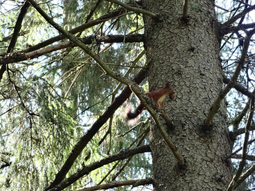
Squirrel
30.
Increased the contrast slightly using the brightness-contrast tool.
31.
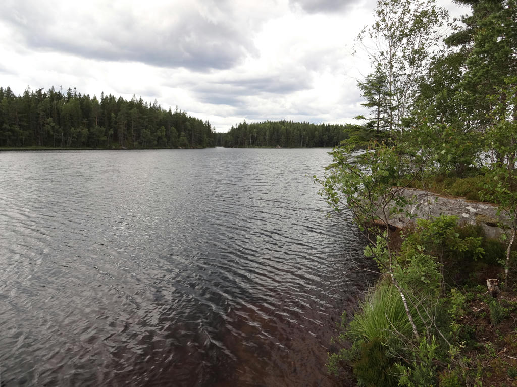
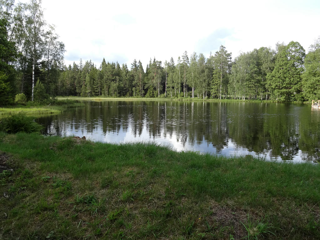
Kolasjön. Rotated the photo slightly and cropped it. Also sharpened the photo slightly using unsharp mask. Finally I used the brightness-contrast tool to slightly increase the brightness and contrast.
32.
Rotated the photo slightly and cropped it. Also sharpened the photo slightly using unsharp mask.
33.
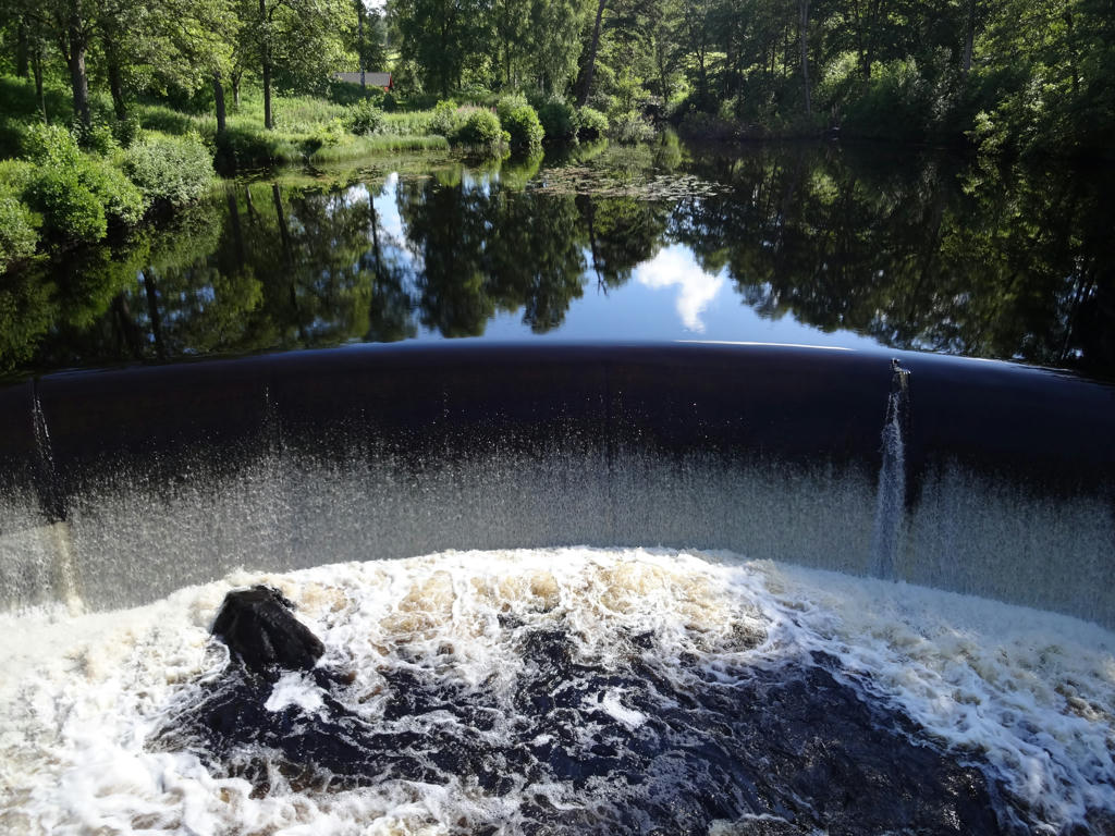
Dam in Bergsfors. Sharpened the non-sky parts slightly using unsharp mask. Also increased the contrast slightly using the brightness-contrast tool.
34.
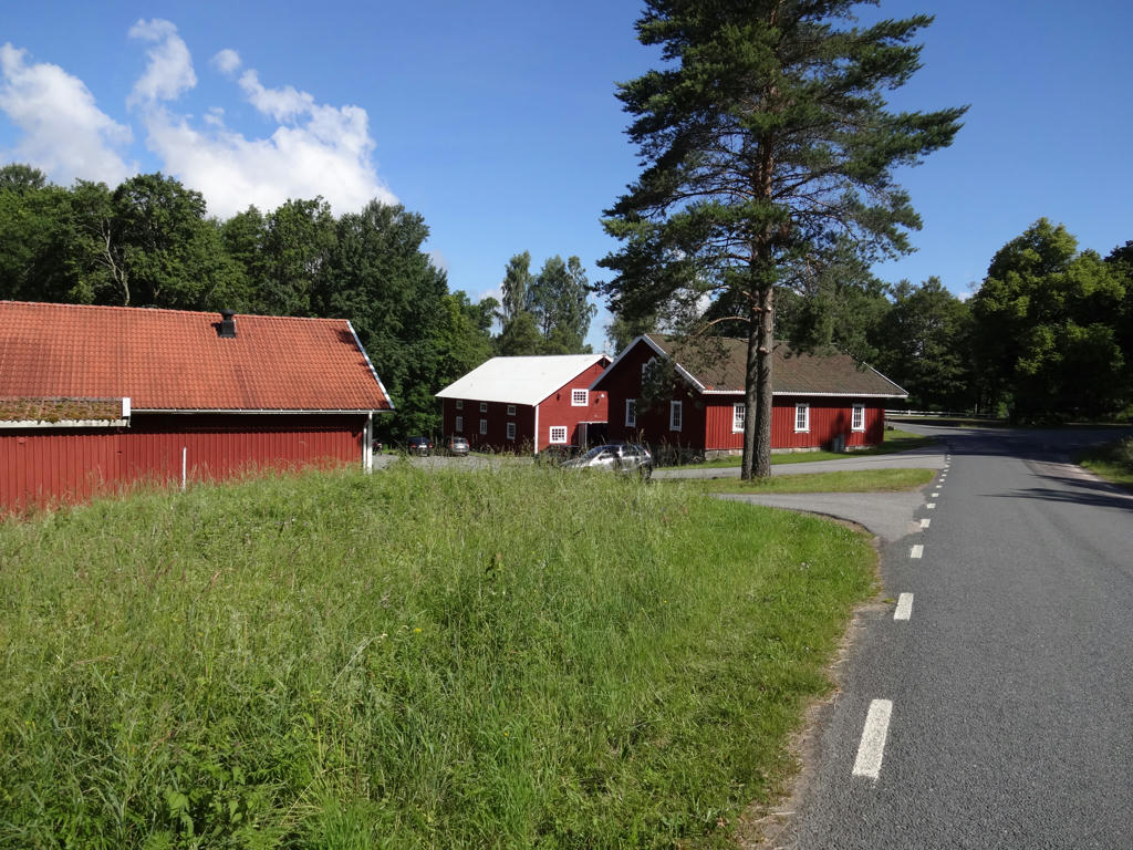
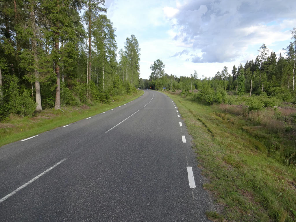
Almost in Nyholm about 3.2km west of Åsafors. Used the hue restorer plug-in to reduce the cyan-ish sky color. Also sharpened the photo slightly using unsharp mask and slightly increased the contrast using the brightness-contrast tool.
35.
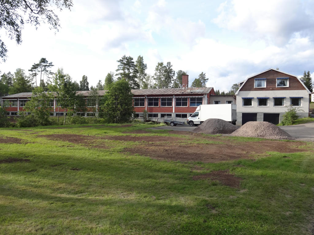
Nyholms Metall AB
Inga kommentarer:
Skicka en kommentar