In any case, what enabled me to finish Höglandsleden (and do it so quickly) was the help of my mother, she drove me to several of the places I would have difficulty to get to otherwise. This was especially the case with this walk between Nyhagen and Hok. I could have theoretically used trains and buses to get to Viebäck which is 4.1km away from Nyhagen and walked to the train station in Hok (a distance of 2km from the trail near Hokån). This would be a distance of more than 40km. However, I would have arrived before 11:00 at Viebäck and would have needed to make it on time for the train in Hok about 8h later. Anyways, instead I got a ride by car to Nyhagen (I started the walk at 8:06) and walked a total distance of about 35.6km to reach the trail near Hokån. The total duration for the walk was 10h21min and thus my average speed was approximately 3.44km/h.
There are many beautiful and interesting parts in this walk but some of the segments are somewhat boring and not very interesting. The trail goes to a large extent on footpaths but there are also several sections going on gravel or tractor roads. Parts of the trail was not in ideal condition. Some parts of the trail were overgrown and in some other parts signs were either missing or had fallen off. Because of the missing signs I got a bit lost four times (maybe on average losing 5 minutes each time). Another bad thing was that because the trail was wet when I began the walk I managed to get my shoes (and thus also my socks) wet. However, I did change my socks later (might have changed socks a couple times).
Now, with the bad parts out of the way lets focus on the good. First it can be noted that because of both the distance and the duration of the walk it felt like quite a journey (in a good way). Also because of it, it is hard to exactly pinpoint the main characteristics of the walk but I guess the best summary is that it goes through mostly coniferous forests with a number of beautiful lakes, bogs/swamps and meadows on the path. However, I think the walk also exemplifies some of the reasons for why the trail has the name it has, i.e. Höglandsleden (the highland trail). For instance this walk goes through Tomtabacken which is located 377 meters above the sea and is Götaland's highest point. It also goes through Falla Mosse which is southern Sweden's highest located bog/swamp and near Ekelsjösjön which is the highest located lake in the Southern Swedish Highlands. Furthermore the trail goes through several gazebos.
I didn't have as much luck in encountering wild animals this time around but I did see one squirrel. It can also be noted that the weather was pretty nice, I think it was quite warm and the sky was clear for the most part. To summarize, although the walk had some less interesting parts in it, it was overall a very interesting walk with a pretty unique feeling to it.
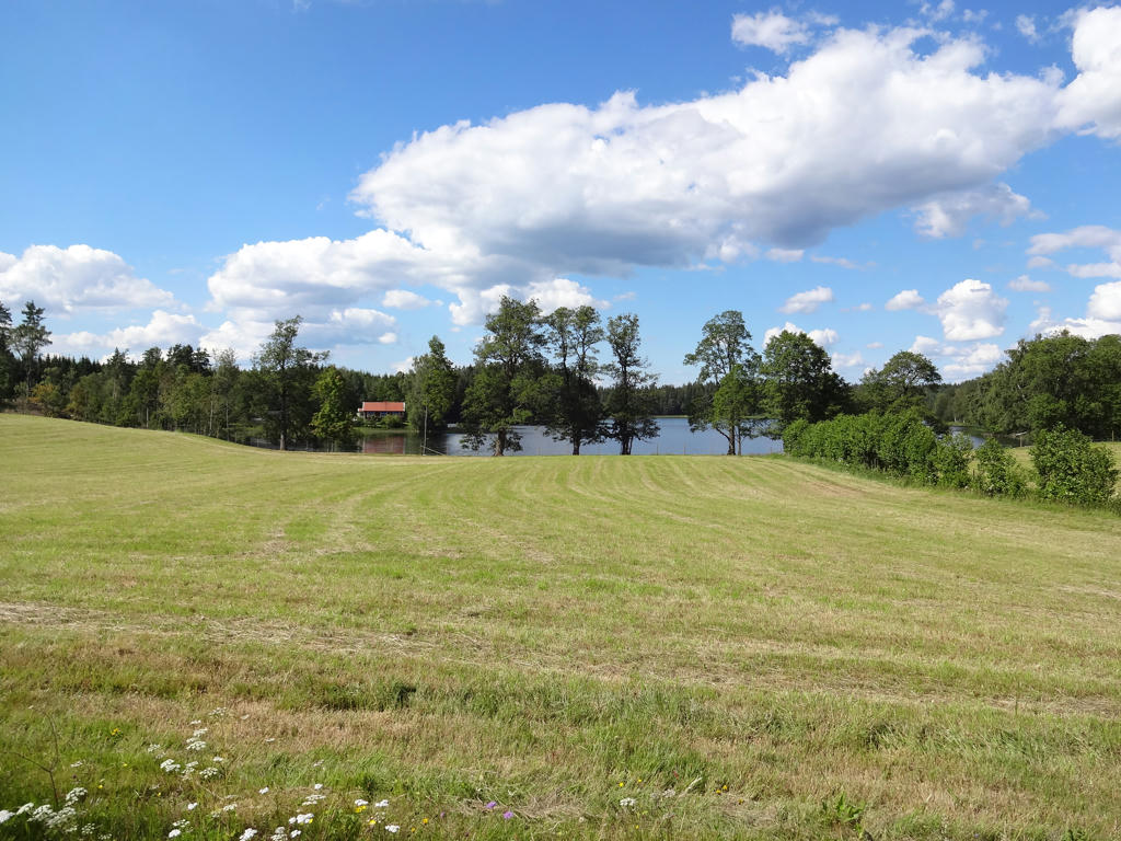
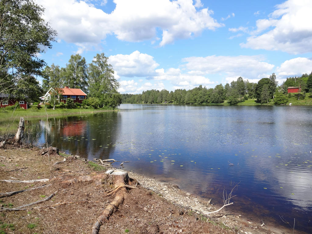
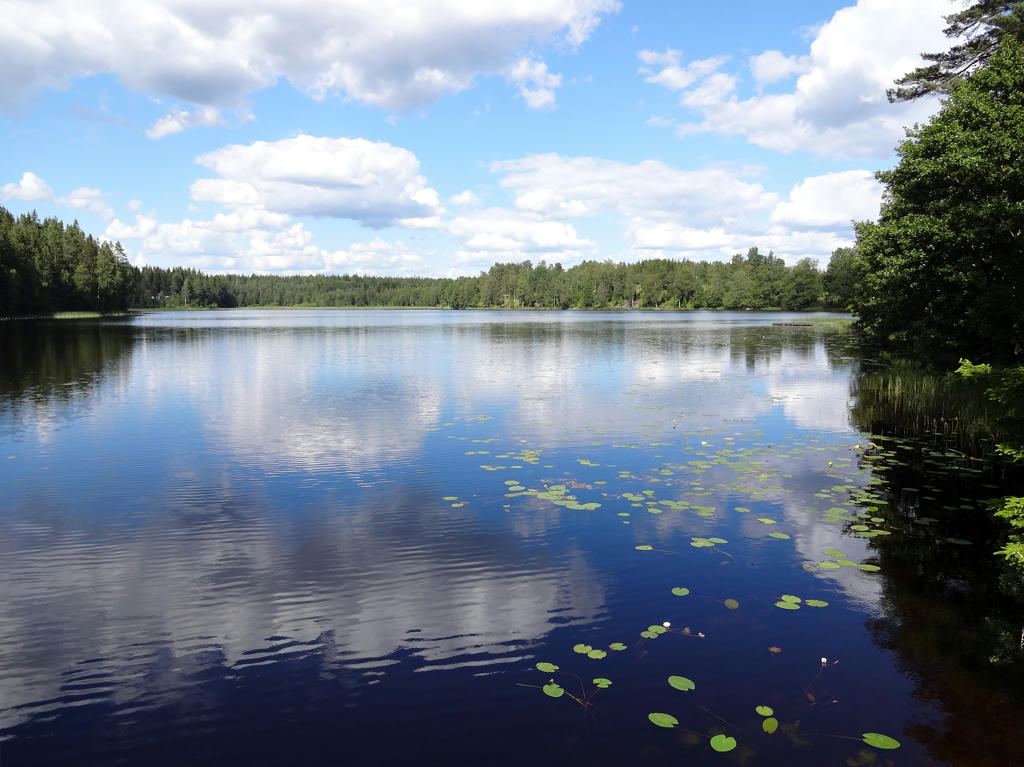
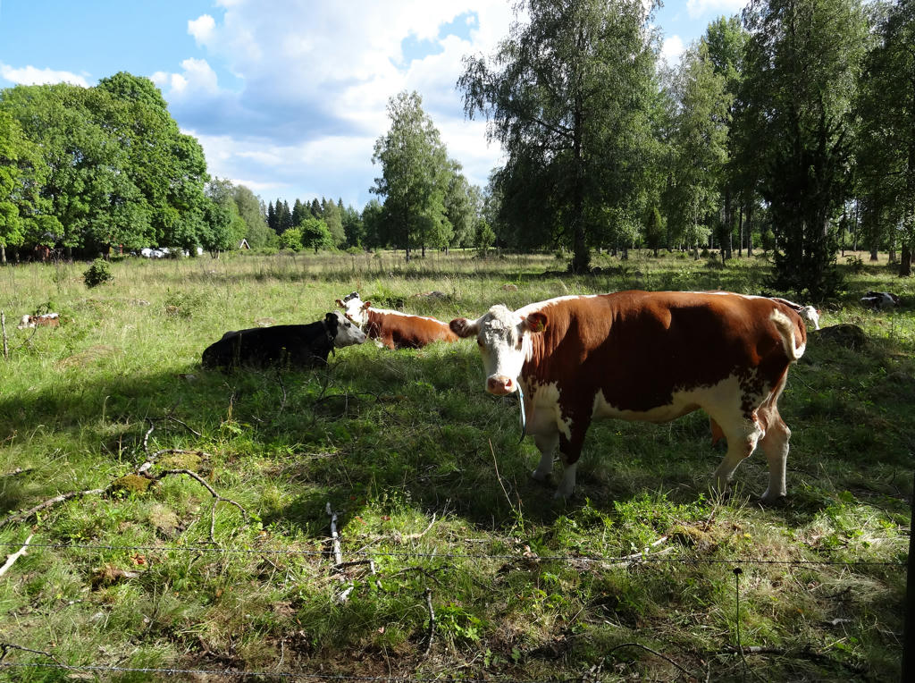
Enjoy the photos!
1.
Nyhagen
2.
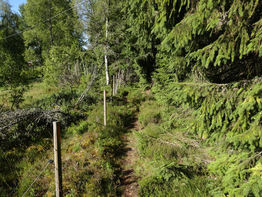
Sharpened the photo slightly using unsharp mask.
3.
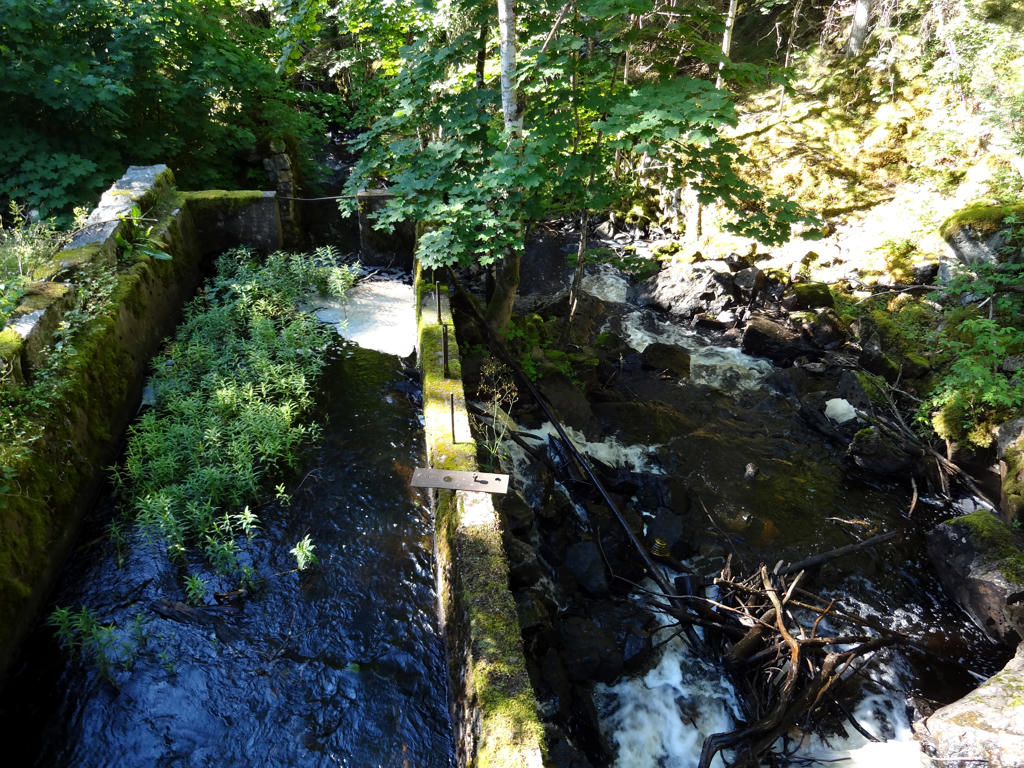
The remains of Vikskvarn (an old mill). Equalized the histogram.
4.
Brick kiln. Increased the contrast slightly using the brightness-contrast tool.
5.
6.
Kärraboån. Used the hue restorer plug-in to reduce the cyan-ish sky color.
7.
Davidstorpasjön. Used the hue restorer plug-in to reduce the cyan-ish sky color. Also increased the contrast slightly using the brightness-contrast tool. Finally, I used the levels tool to darken the sky slightly.
8.
Used the hue restorer plug-in to reduce the cyan-ish sky color. Also rotated the photo slightly and cropped it.
9.
Brightened the photo slightly using the levels tool. Also rotated the photo slightly and cropped it. Finally I sharpened the photo slightly using unsharp mask.
10.
Davidstorp. Brightened the photo slightly using the levels tool. Also decreased the contrast slightly using the brightness-contrast tool.
11.
Applied Gaussian blur on the photo since it looked too sharp (which is unusual). I also brightened the photo slightly using the brightness-contrast tool.
12.
13.
Ekelsjösjön
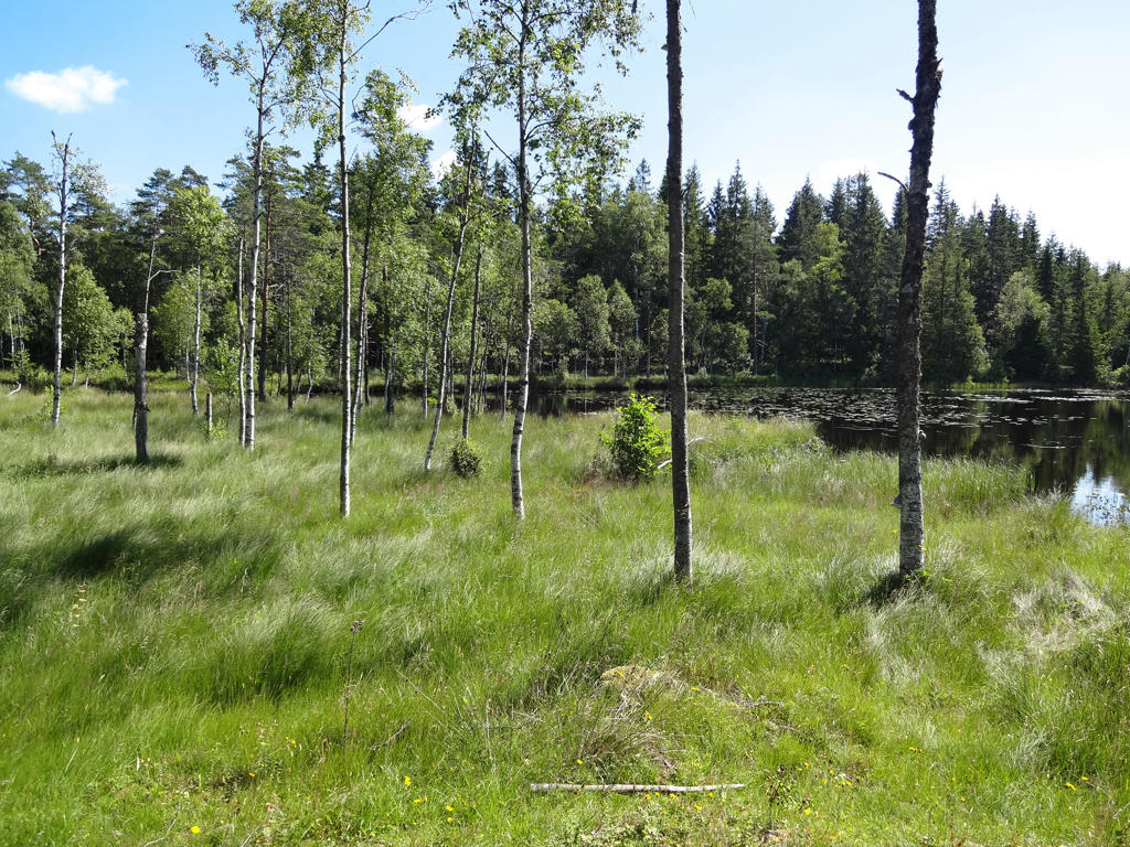
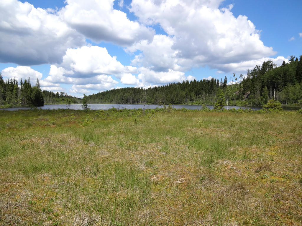
Ekelsjösjön is the Southern Swedish Highlands highest located lake (345 metres above sea level). It is a long and narrow marsh lake with a northern Swedish character and it has fen near the edges.
Used the hue restorer plug-in to reduce the cyan-ish sky color. Also darkened the sky slightly using the levels tool.
14.
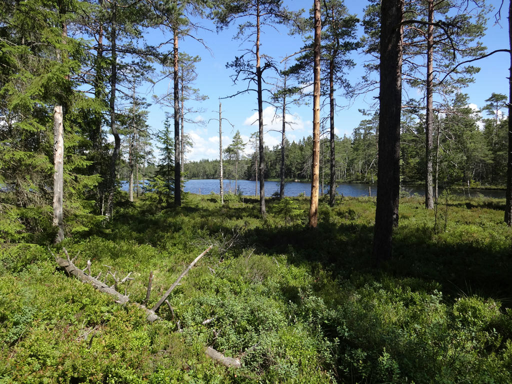
Gölen. Used the hue restorer plug-in to reduce the cyan-ish sky color. Also darkened the sky slightly using the levels tool. Finally I sharpened the non-sky parts slightly using unsharp mask.
15.
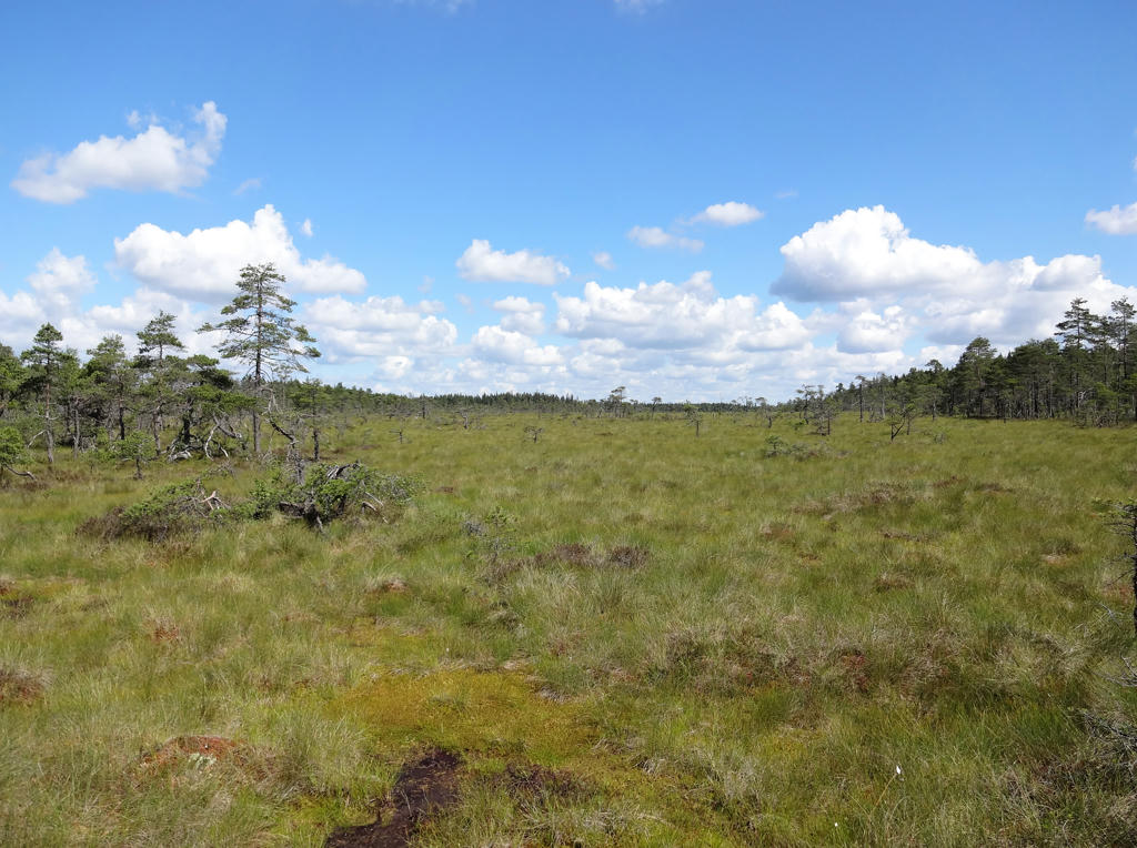
"Fallamosse
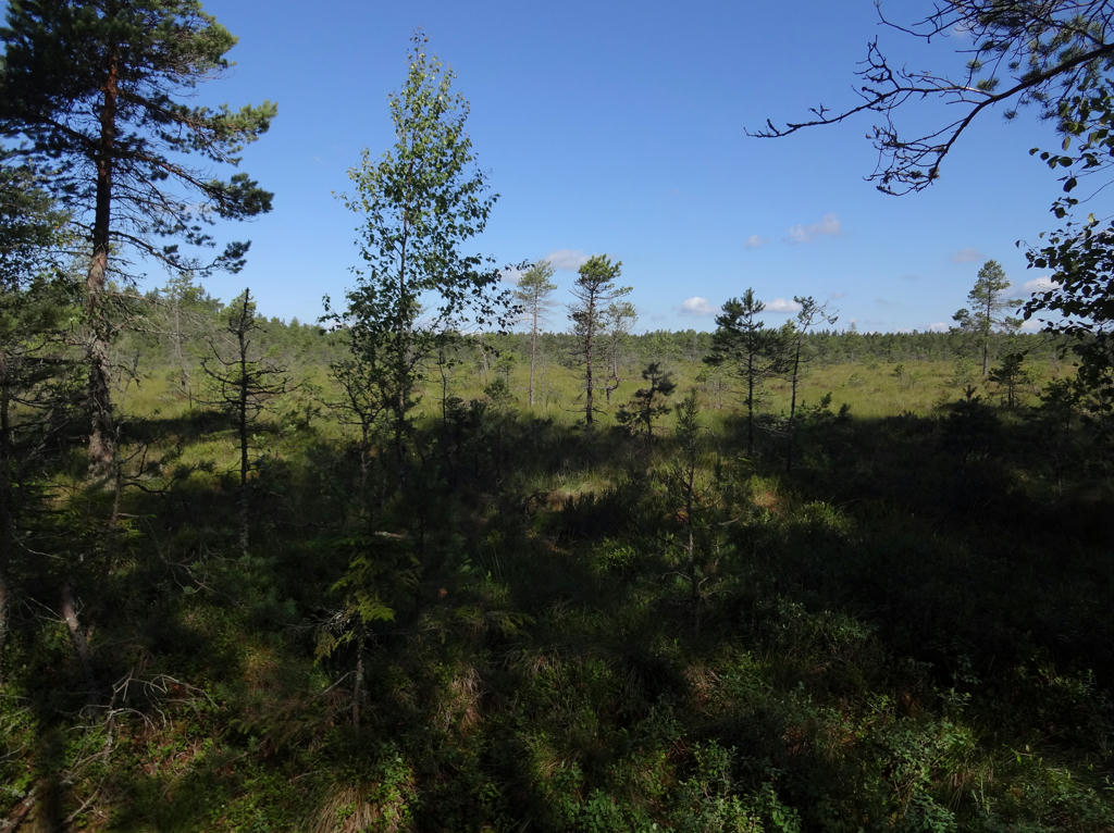
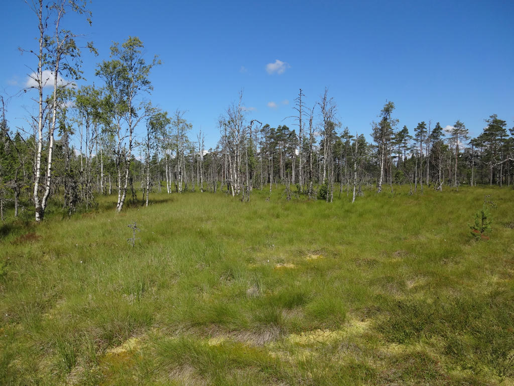
This is the highest bog in the Southern Swedish Highland, 352 m above sea level. It is also one of the county's most valuable bogs due to its size, various forms and pureness. In the south, the bog slopes noticeably and is mostly open. The bog is separated by areas of solid ground and marshes.
For the most part there is little sedge and peat moss in the marsh. In some places there are clumps of bog asphodel."
Used the hue restorer plug-in to remove the cyan-ish sky color. Also rotated the photo slightly and cropped it. Finally I increased the contrast slightly for the non-sky parts using the brightness-contrast tool.
16.
17.
"Utjorden
Utjorden was previously a crofter's holding belonging to the farm Falla Gård. From here you have a southerly view of the lakes Norrasjön and Sörsjön.
On the western side you can see the lake Älmhultasjön, which is beautifully located under the fault ledge."
Used the hue restorer plug-in to get rid of the cyan-ish sky color. Also rotated the photo slightly and cropped it.
18.
Älmhultasjön. Brightened the photo slightly using the levels tool.
19.
Sharpened the photo slightly using unsharp mask.
20.
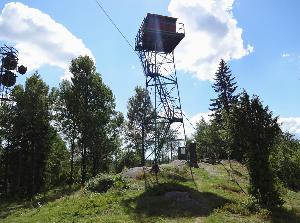
Fire lookout tower at Tomtabacken. Rotated the photo slightly and cropped it.
Also decreased the contrast slightly using the brightness-contrast tool. Finally I used the hue restorer plug-in to remove the cyan-ish sky color.
21.
Brightened the photo slightly using the levels tool.
22.
Stora Åkerhult. For the non-sky parts I decreased the contrast slightly using the brightness-contrast tool and slightly increased the brightness using the levels tool. Also darkened the sky slightly using the levels tool.
23.
24.
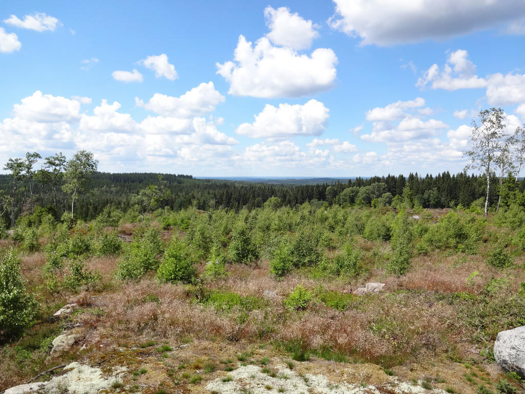
View from Högenacke. Rotated the photo slightly and cropped it. Also used the hue restorer plug-in to reduce the cyan-ish sky color. Finally I darkened the sky slightly using the levels tool.
25.
View of Långserumssjön from Långserum.
26.
Långserumssjön. Rotated the photo slightly and cropped it.
27.
Långserumssjön. Rotated the photo slightly and cropped it. Also increased the contrast slightly for the non-sky parts using the brightness-contrast tool. Finally, I used the hue restorer plug-in to reduce the cyan-ish sky color.
28.
Rotated the photo slightly and cropped it. Also used the hue restorer plug-in to remove the cyan-ish sky color. Finally I used the levels tool to darken the non-sky parts slightly.
29.
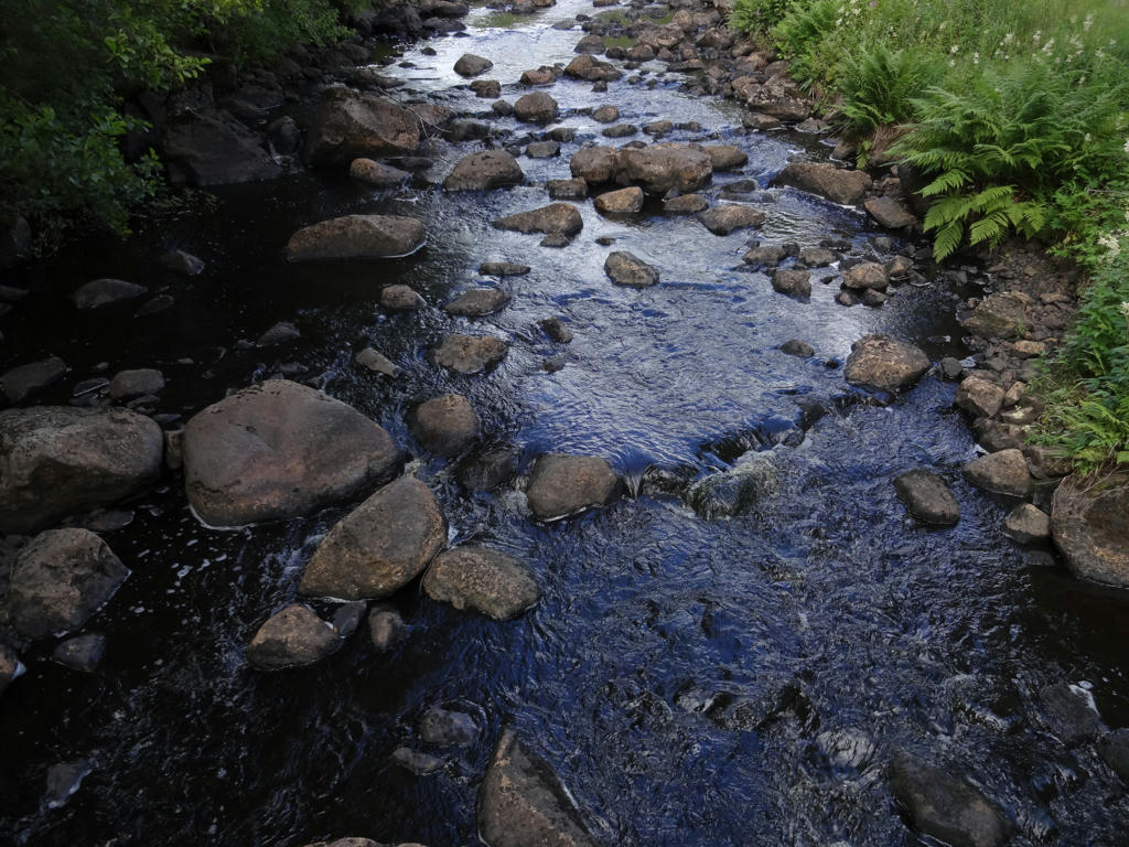
Malmbäcksån
30.
Increased the contrast slightly using the brightness-contrast tool.
31.
Going up Almeberget.
32.
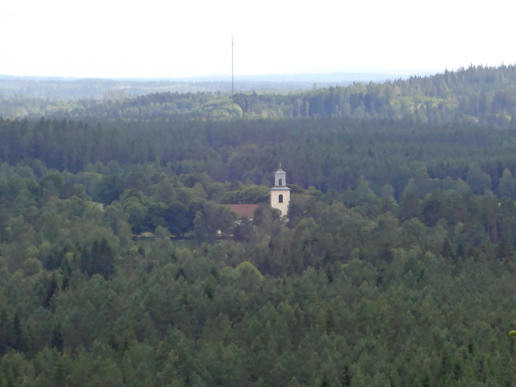
View from Almeberget. Svenarum church can be seen in the photo. Slightly increased the contrast using the brightness-contrast tool. Also sharpened the photo slightly using unsharp mask.
33.
Berget. Used the hue restorer plug-in to get rid of the cyan-ish sky color.
Also darkened the sky slightly using the levels tool. Finally I sharpened the non-sky parts slightly using unsharp mask.
34.
Brightened the photo slightly using the levels tool.
35.
36.
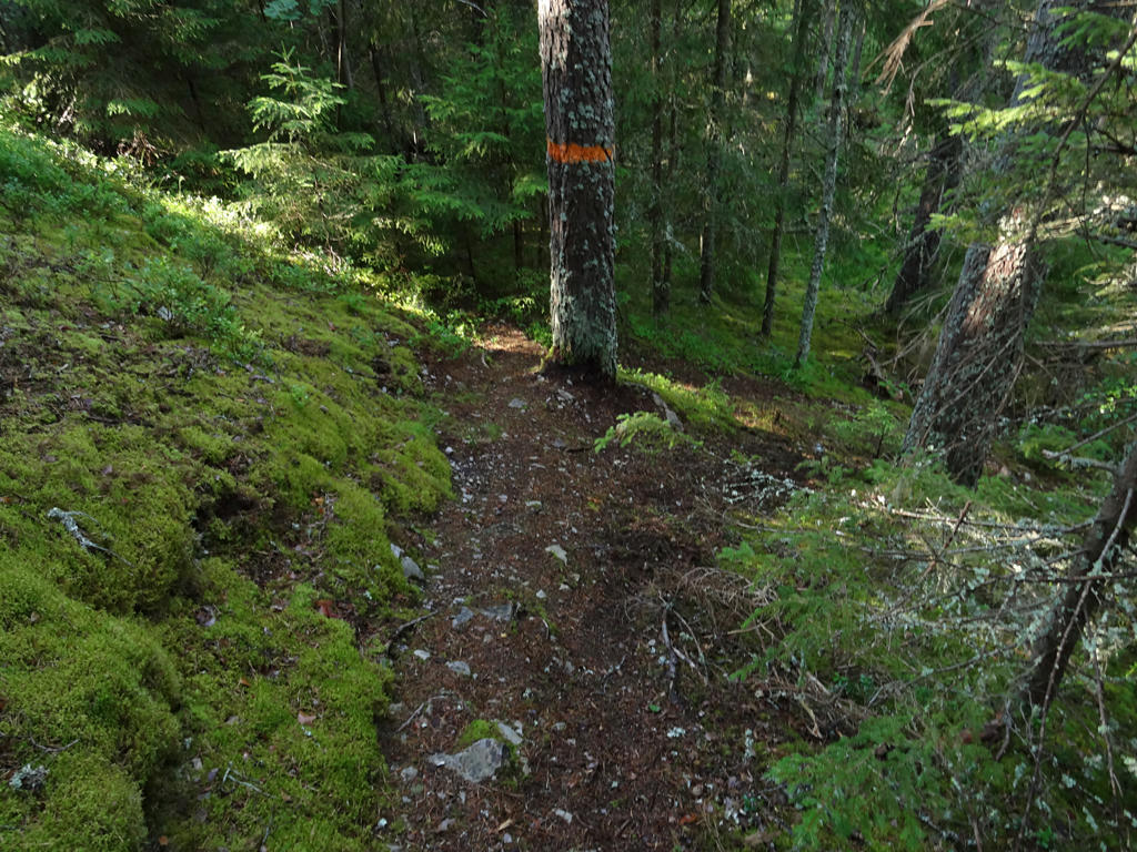
Sharpened the photo slightly using unsharp mask.
Inga kommentarer:
Skicka en kommentar