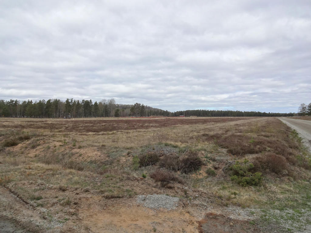
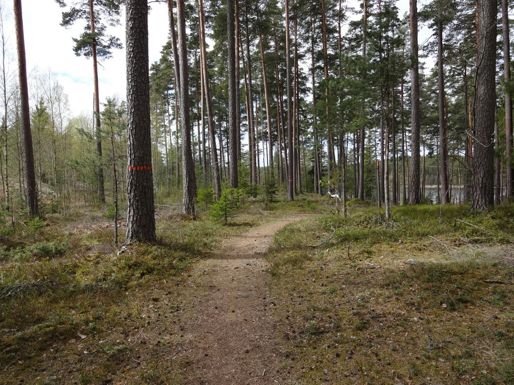
In any case, some general information (distances for different segments, where to find maps etc.) about the parts of Höglandsleden which overlap with E6 European long-distance path can be found here. Similarily to Hallandsleden and Gislavedsleden there is a mix of small scale farm land and forests, however with more of the trail going through forests. Unlike Gislavedsleden more of the trail goes on footpaths rather than gravel or tractor roads, which usually makes things more interesting. However, some of the footpaths are in need of maintenance and sometimes the signs are either in bad condition or missing, in either case these things slow down the walks. Some of the walks have been almost as interesting as Gislavedsleden walk #2 between Gislaved and Hestra but in other cases there has been much walking through forestry regions, which tends to be less interesting. Although the Höglandsleden walks go through Småland's highlands, the terrain is relatively flat and the walks didn't feel so hilly/hilled (kuperad).
Either way, for my first Höglandsleden walk I chose the segment with probably the least travel issues: from Eksjö to Lövhult (near Nässjö). In the morning I first traveled to Falköping by train and from there I took the train to Nässjö. Funnily enough a pigeon flew into the train to Nässjö and managed to damage a part of the electric system, which caused a delay of 23 minutes. In any case from Nässjö I went by bus to Regementsgatan in Eksjö, which is located next to the trail. From there I walked about 26km to Lövhult and from Lövhult I further walked the trail 1.7km to reach national highways 31/40/47 and finally walked about 0.2km more to reach the Lövhult bus station. Thus in total the walk was 27.9km and it took me 6h38mins, which means I walked on average 4.21km/h (this is pretty decent speed, I walked slower at first but later I sped up my walking since there weren't as many interesting things on the way and the road was pretty easy). In any case from Lövhult (the bus station) I took the bus to Nässjö and then traveled back home the same way (with train to Falköping and then train to Göteborg). The travel to Eksjö took 4h37min and the travel from Lövhult took 4h9min.
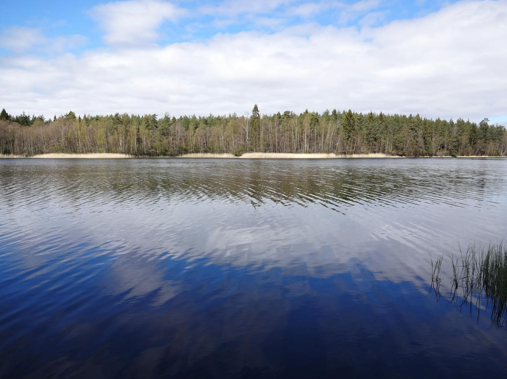
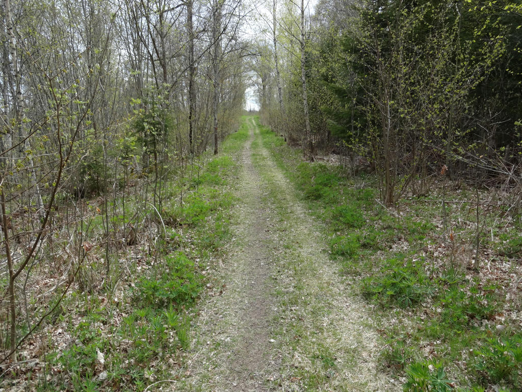
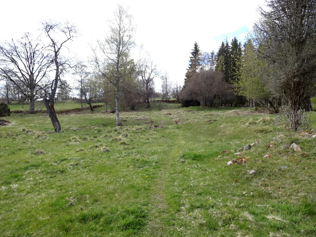
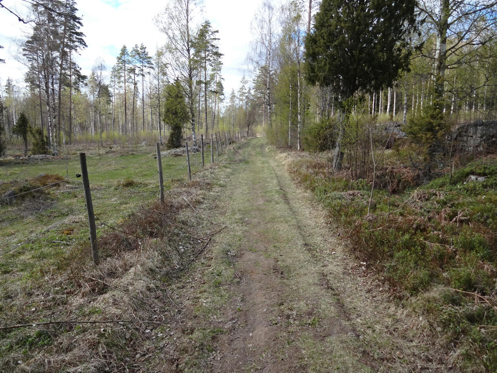
The walk can in general be split up into two parts: From Eksjö to Broarp and from Broarp to the asphalt road near Lövhult. The first part of the walk was more interesting since it went through more beautiful regions, including Eksjö's old town, near Gysjön, through Skedhult and near Norra Vixen. More of the interesting points of interest can be found here. The other part goes through the woods for the most part but the forests aren't as interesting since there is more forestry and the region feels pretty desolate/abandoned (similarly to some parts of Västra Vätterleden). Even though the second part of the walk was less interesting it was an overall interesting walk. Much of the walk went on gravel roads or tractor roads rather than on footpaths but it didn't make things less interesting (maybe with the exception of the second part). It was also quite a bit greener now than in the middle of April despite that most trees were still without leaves. Finally, the weather was quite good (which was a big contrast compared to the unusually cold March and April). Anyways, there are plenty things to show and as usual the photos are presented below. Enjoy!
1.
Walking through Eksjö. The river in the background is Eksjöån. Rotated the photo slightly and cropped it. Also brightened the non-sky parts slightly using the levels tool.
2.
Eksjö old town. Darkened the sky slightly using the levels tool.
3.
Eksjö old town. Darkened the sky slightly using the curves tool.
4.
Eksjöån
5.
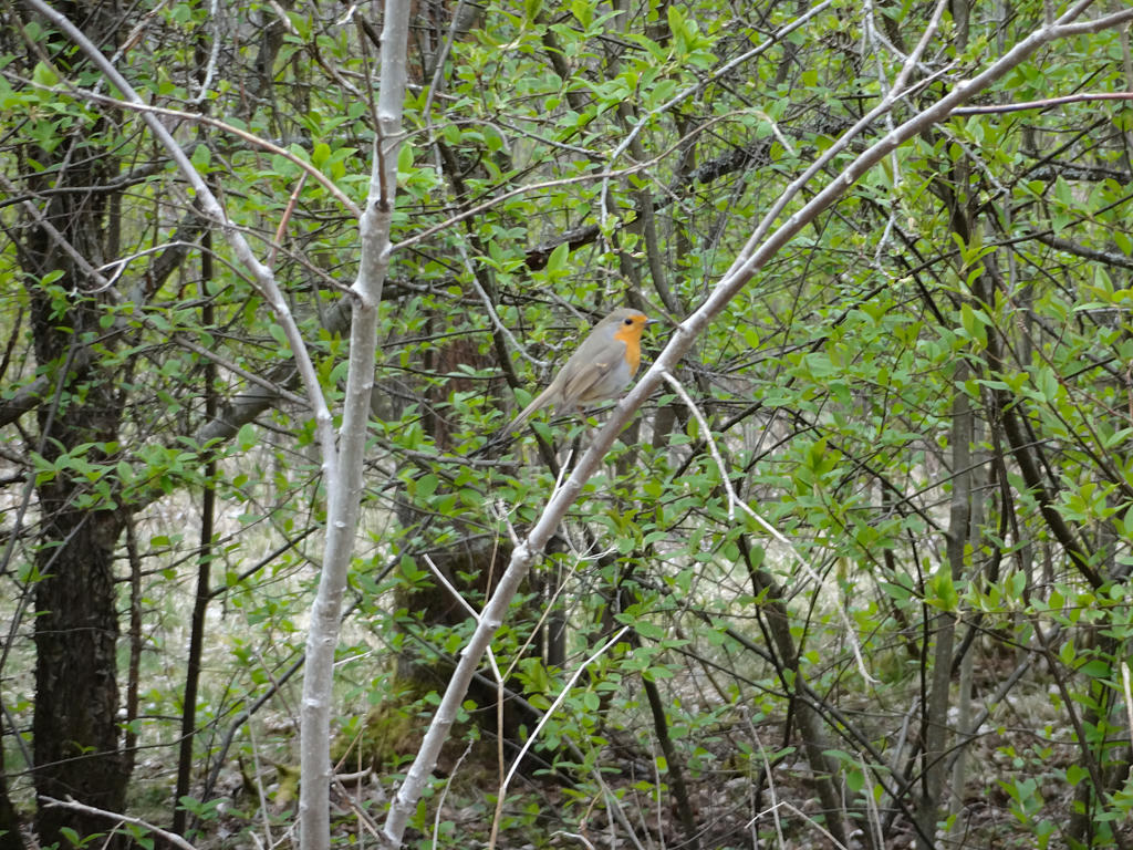
A robin. Sharpened the photo slightly using unsharp mask.
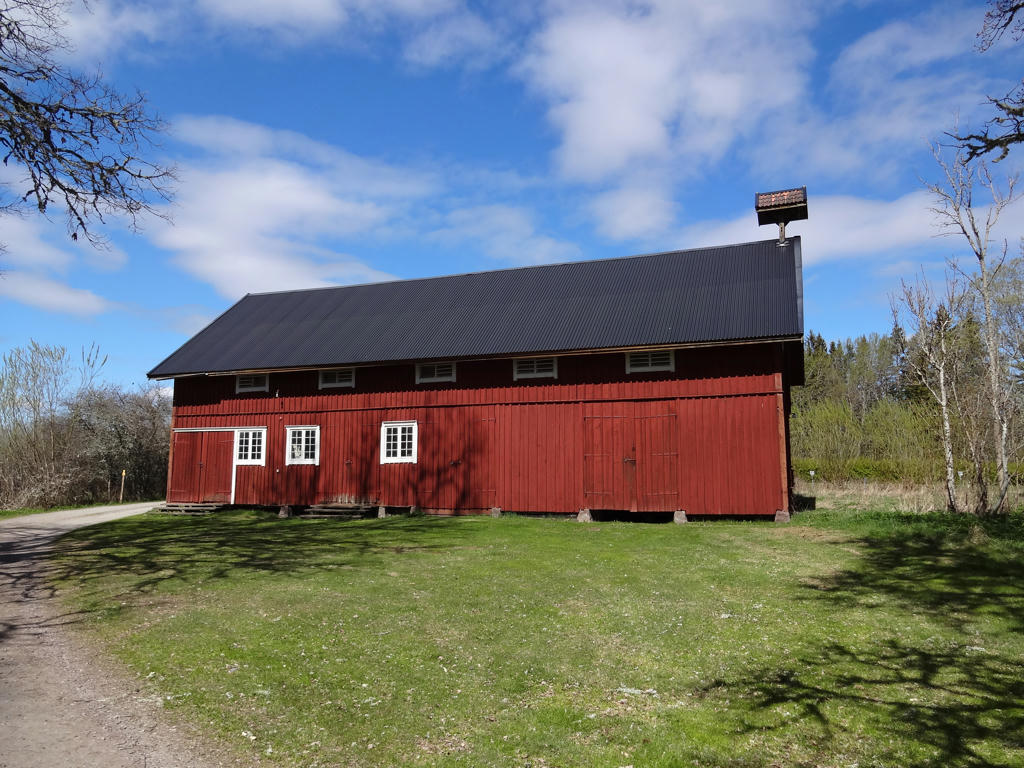
6.
Ränneslätt
This was the drill-ground for Småland's Hussars until 1927 when the regiment was discontinued.
The Småland Hussars were one of the oldest cavalry regiments in the World. It was founded in 1543.
Today it is a military drill-ground. The beautiful heather areas are a characteristic feature of Ränneslätt. The Iceland moss growing here is used for instance for vegetable dyeing.
Increased the brightness and contrast for the photo. Also increased the brightness slightly using the levels tool.
7.
8.
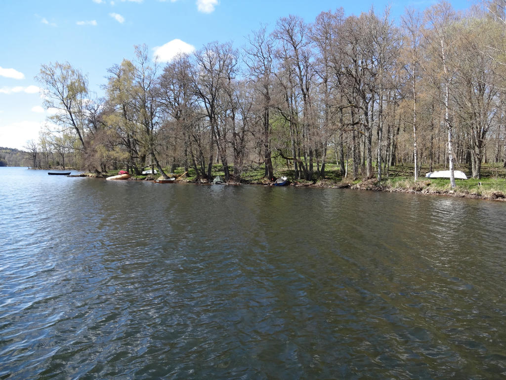
Gysjön. Increased the contrast slightly for the non-sky parts using the levels tool. Also rotated the photo slightly and cropped it.
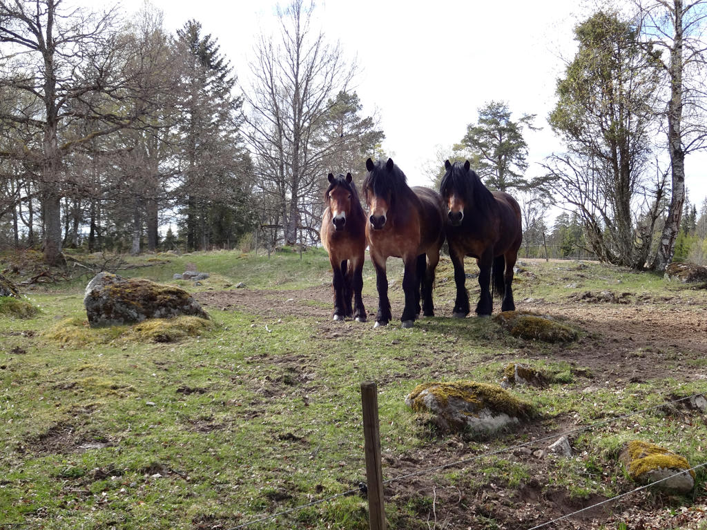
9.
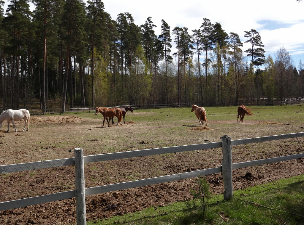
Some of the horses at Persö riding stable. Rotated and cropped the photo.
10.
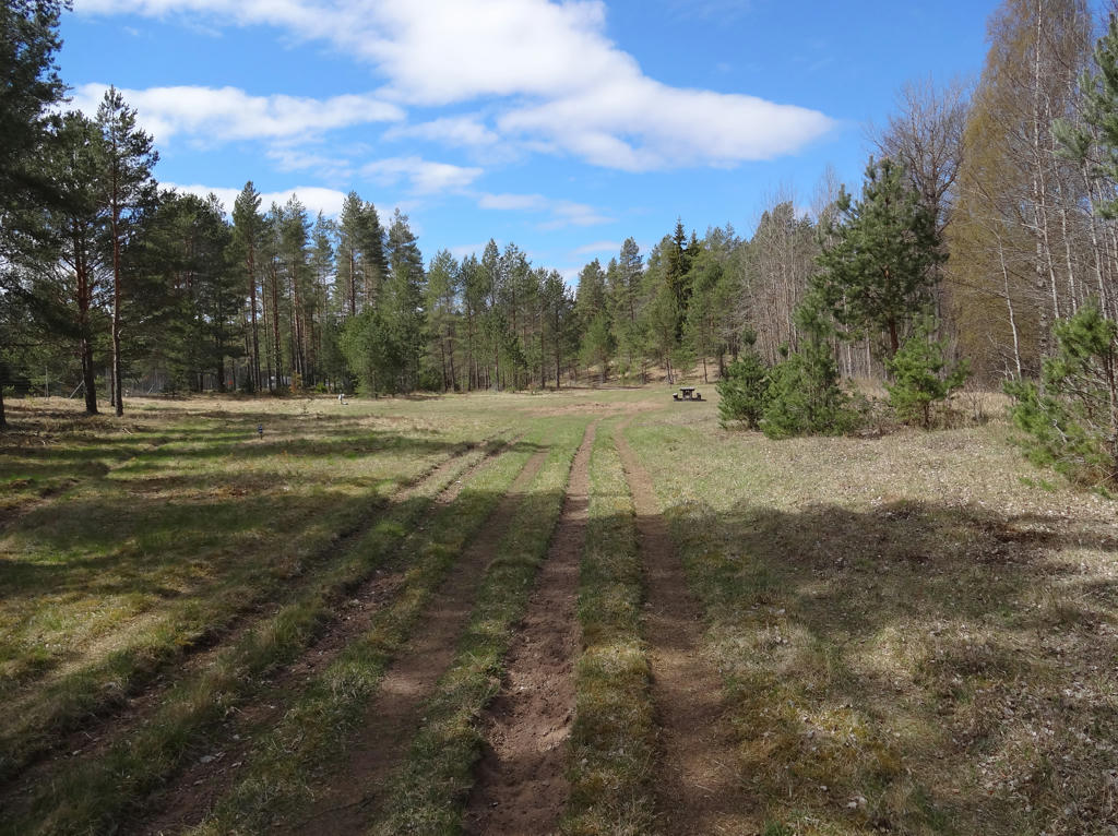
Rotated the photo slightly and cropped it.
11.
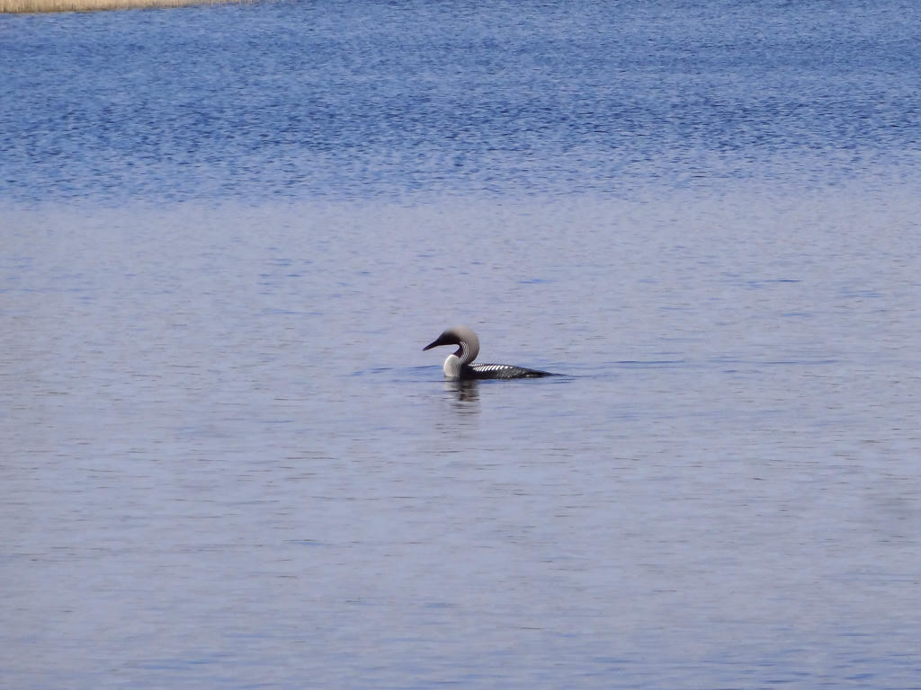
Black-throated loon. Brightened the photo slightly using the levels tool.
12.

Used the hue restorer plug-in to get rid of the cyan-ish sky color.
13.
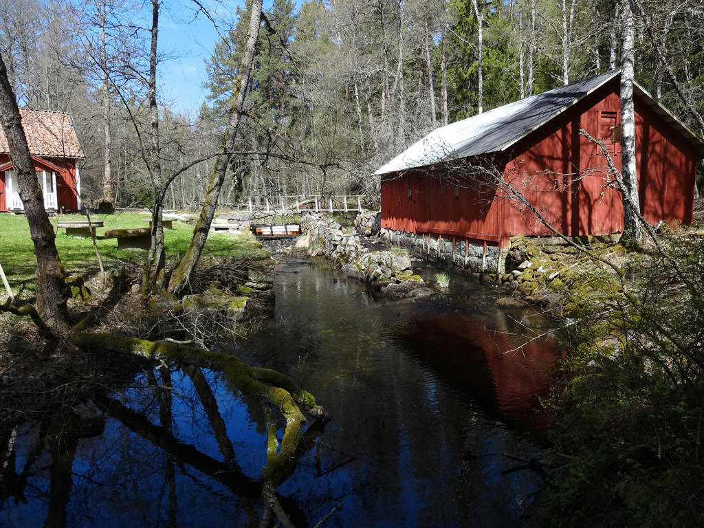
Hytten's mill
Used the hue restorer plug-in to get rid of the cyan-ish sky color.
Used the hue restorer plug-in to get rid of the cyan-ish sky color.
14.
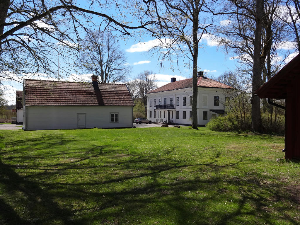
Skedhult is an ex farm/manor, already known in the 1300s. The main building was built in 1870. The red wing of the building (flygelbyggnad) with timber walls is probably from the 1600s and is called "Oxienstiernska huset". Skedhult is today a development homestall (utvecklingsgård) for game preservation (jaktvård) and the headquarters for Jönköping county's game preservation association. Here you can find information and exhibitions regarding hunting and game preservation (viltvård).
15.
Skedhult. Used the hue restorer plug-in to get rid of the cyan-ish sky color.
Also darkened the sky slightly using the levels tool.
16.
Norra Vixen. Used the hue restorer plug-in to remove the cyan-ish sky color.
Also darkened the sky slightly using the levels tool.
17.
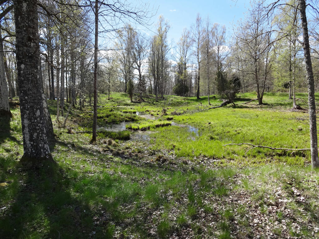
"Borgmästarängen
Nature trails through meadows and pastures with areas of hazel and oak. Mayor Johan Lorentz Munthe, whom the meadow is named after, used the area for growing hay and grazing animals. He was the mayor of Eksjö from 1756 to 1785."
Used the hue restorer plug-in to get rid of the cyan-ish sky color. Also darkened the sky slightly using the levels tool.
18.
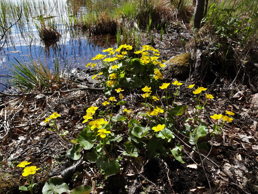
meadow buttercups
19.
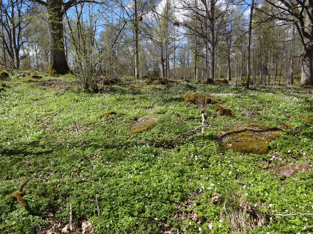
20.
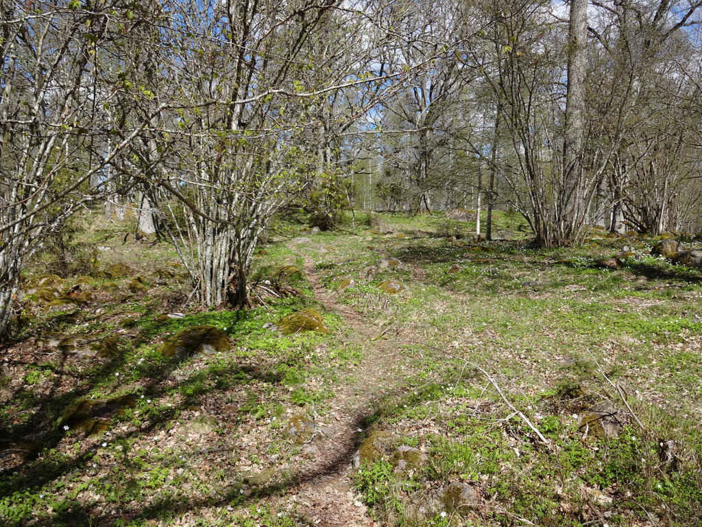
21.
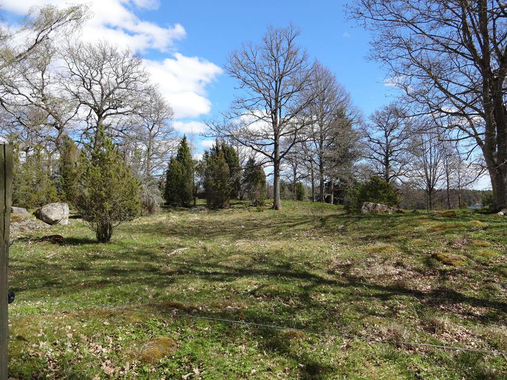
22.
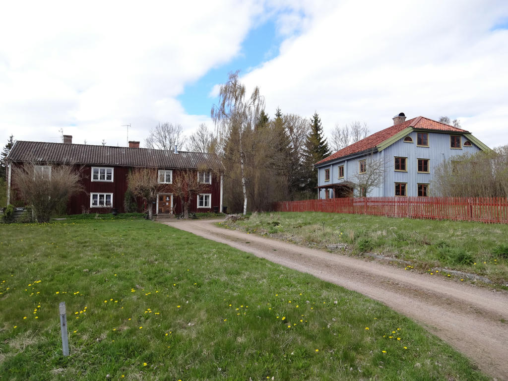
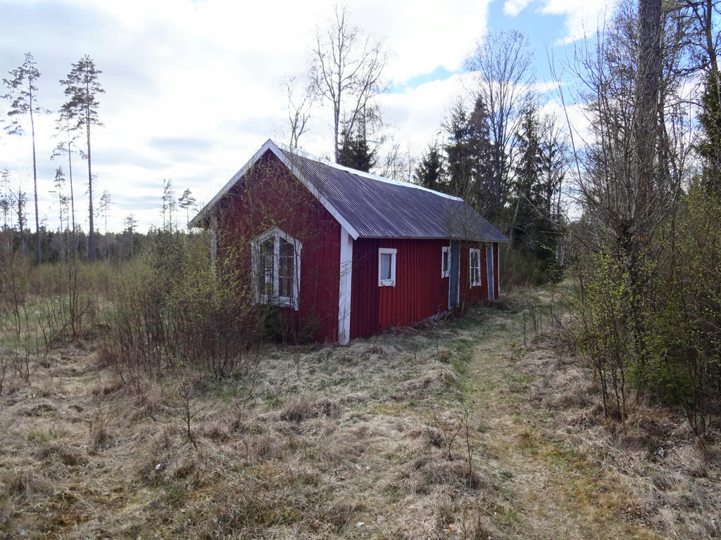
Broarp
In Broarp there used to be an inn, stage-in and saloon during the 1800s. Both buildings are probably from the 1700s.
In Broarp there used to be an inn, stage-in and saloon during the 1800s. Both buildings are probably from the 1700s.
23.
24.
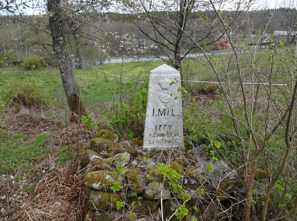
An old mile stone. Rotated the photo slightly and cropped it.
25.
One of the buildings at Äskhult's farm/manor
The farm/manor was earlier divided into three farms: Norra and Mellersta Äskhult and Äskhultsmålen. The name Aeskhulte is mentioned for the first time in a leet document (tingshandling) from Bredestad dated to 24th June 1581.
The farm/manor was earlier divided into three farms: Norra and Mellersta Äskhult and Äskhultsmålen. The name Aeskhulte is mentioned for the first time in a leet document (tingshandling) from Bredestad dated to 24th June 1581.
26.
Kidö. Brightened the non-sky parts using the levels tool.
27.
Slightly increased the contrast for the photo.
28.

29.
Slightly increased the contrast for the photo. Then I sharpened the photo slightly using unsharp mask.
30.
Inga kommentarer:
Skicka en kommentar